Elevation of Crocker Mountain, Carrabassett Valley, ME, USA
Location: United States > Maine > Franklin County > Carrabassett Valley >
Longitude: -70.382012
Latitude: 45.0469997
Elevation: 701m / 2300feet
Barometric Pressure: 93KPa
Elevation Map:
Satellite Map:
Related Photos:

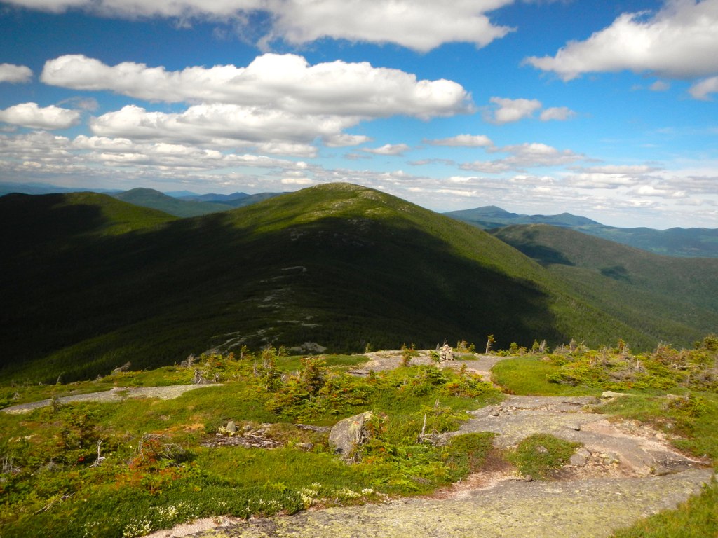
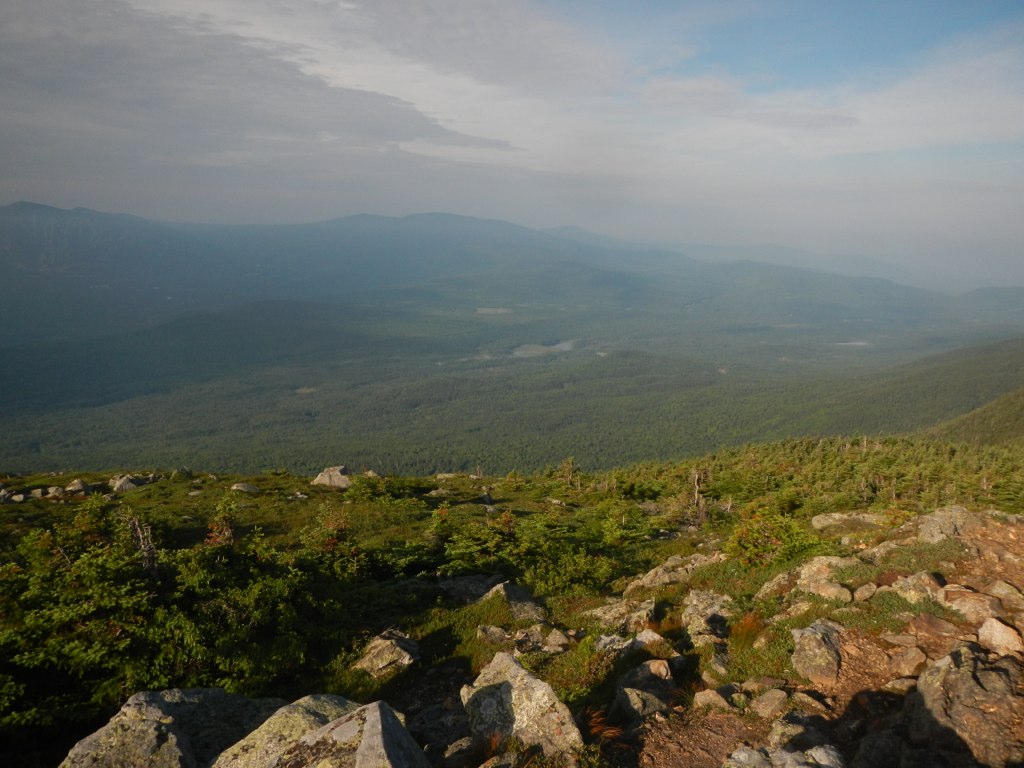
Back side view from the top
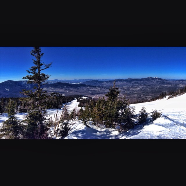
Panorama of the view
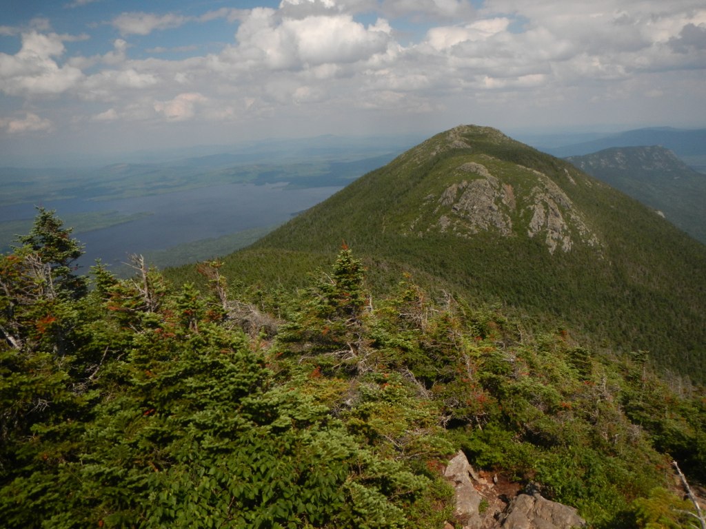
View from West Mountain
View from the top of Whiffletree
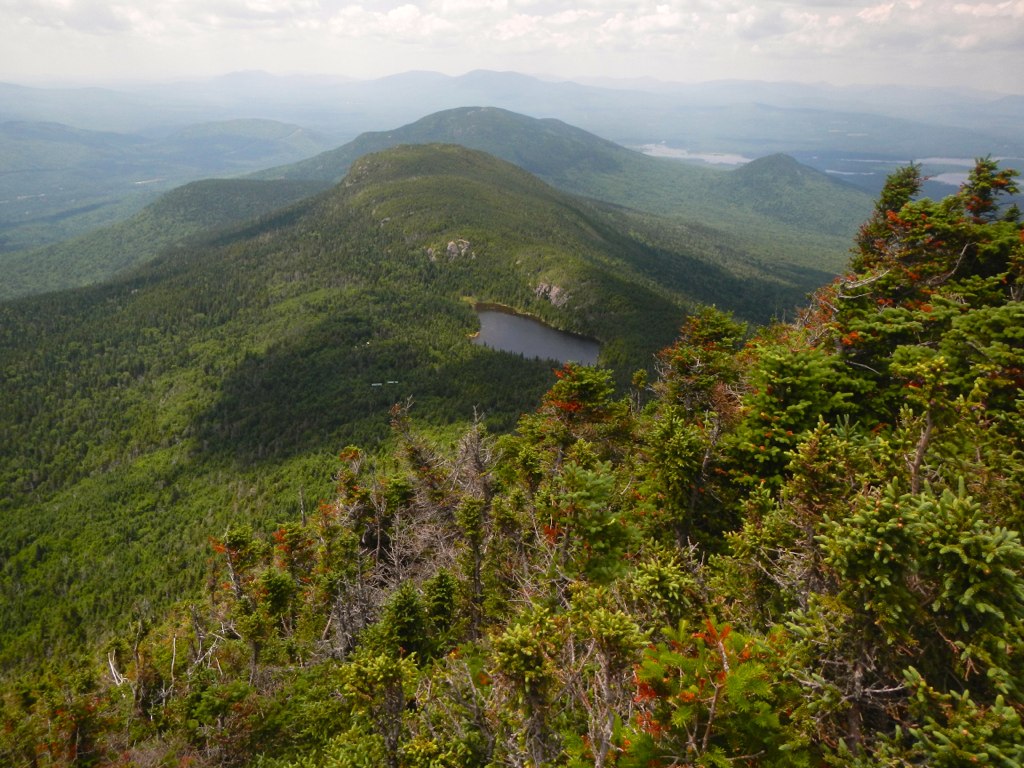
Saddleback Mountain View

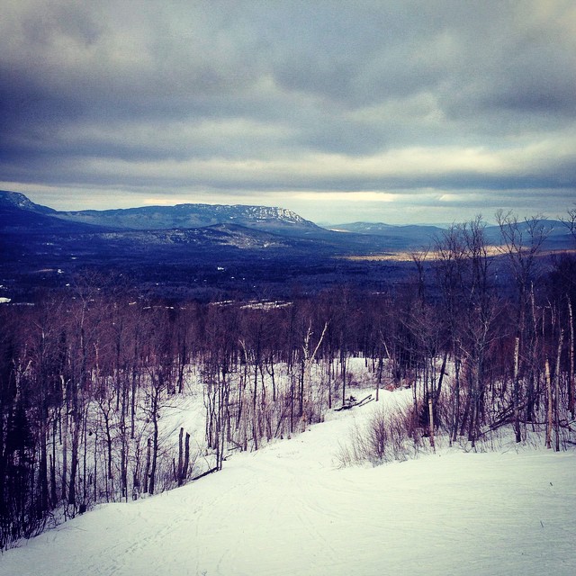
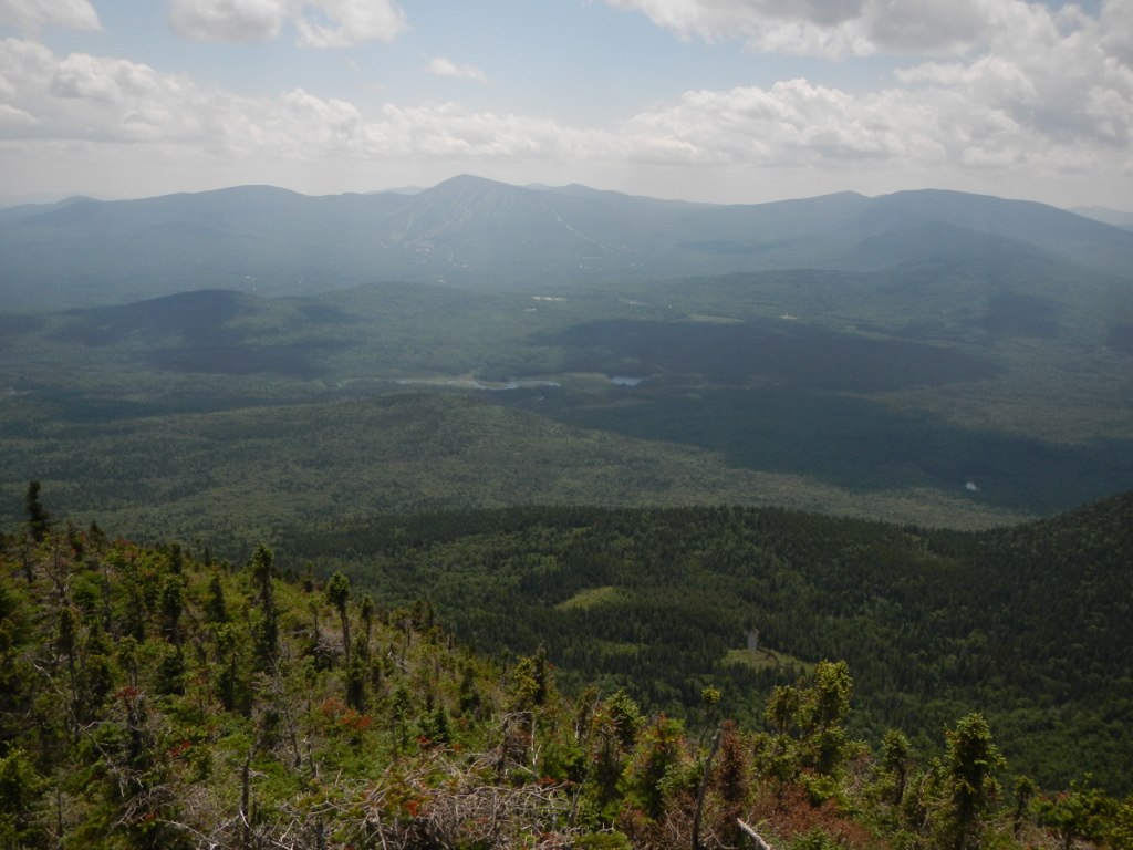
Morning view
Maine 4 to Redington Stream Campsite
Maine 27 to Bigelow Col
Bigelow Col to East Flagstaff Road
Maine 27 to Bigelow Col

Maine 27 to Bigelow Col
Bigelow Col to East Flagstaff Road
Maine 27 to Bigelow Col

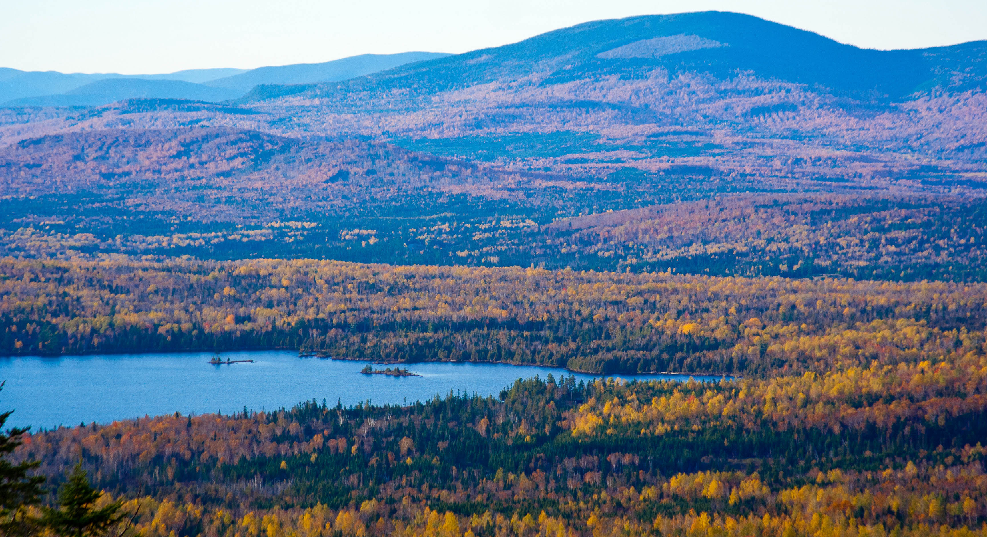
Flagstaff Lake and West Peak

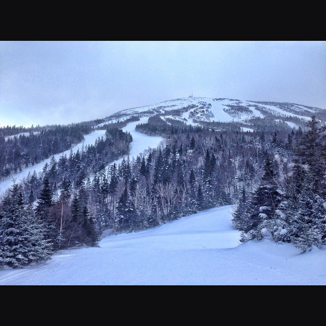
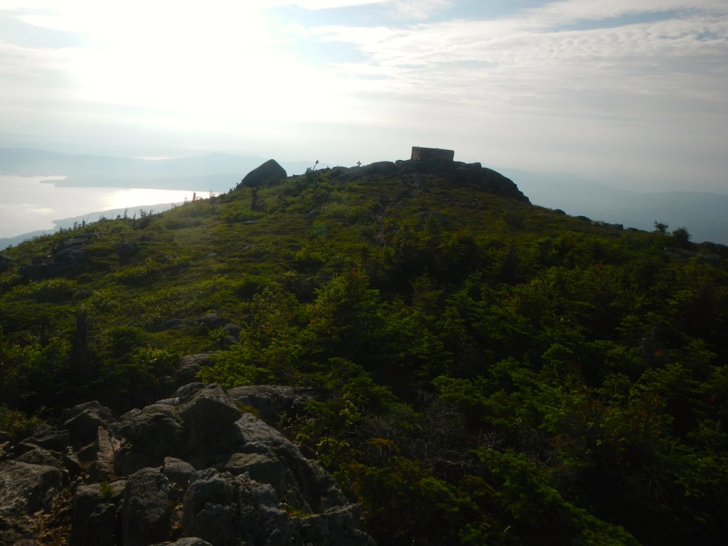
View from the Summit
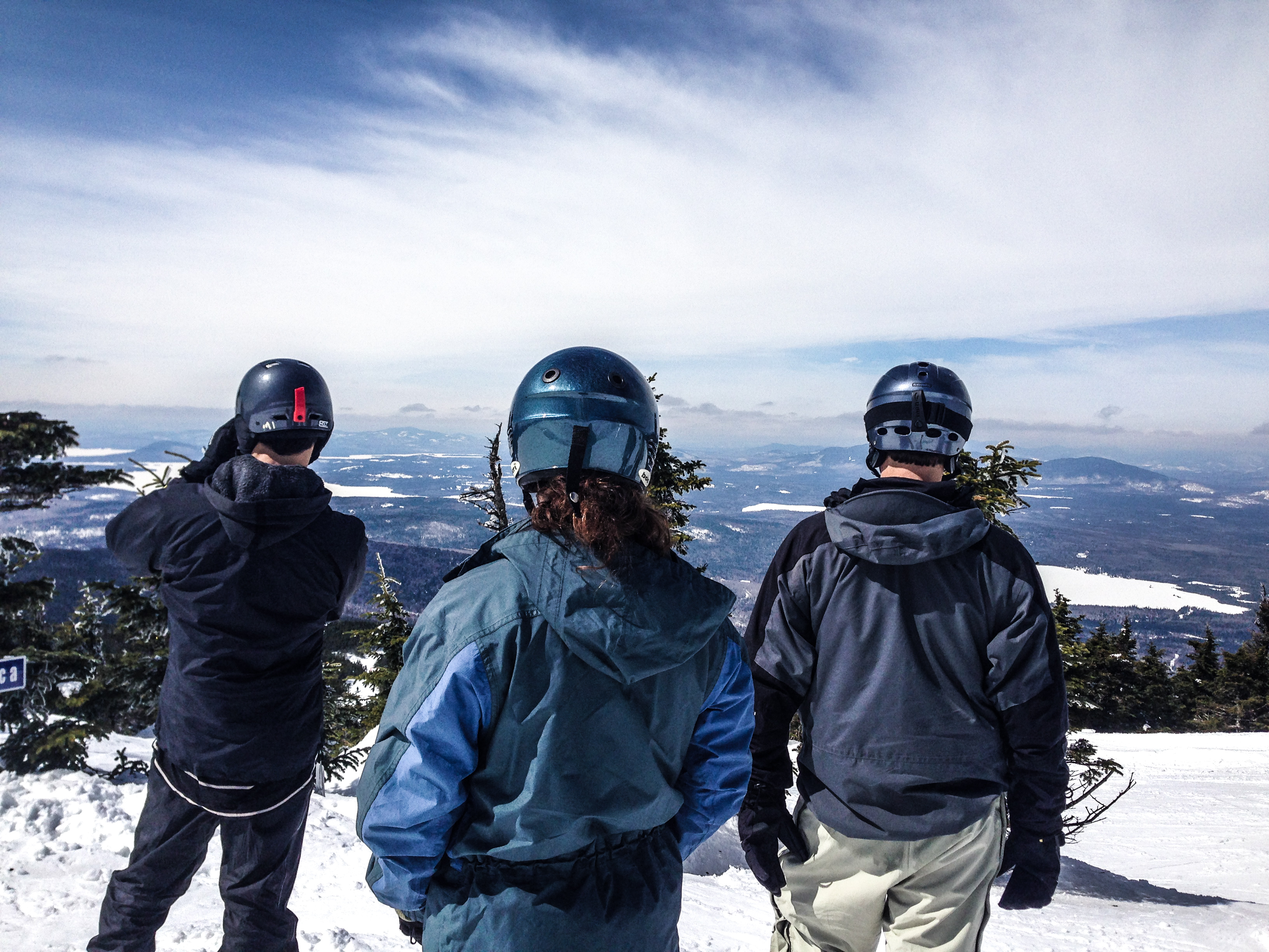
Checking the View

View from Bubblecuffer Extension today. I hiked up to the top today since Timberline is out for the season (and snowcat ride crazy) ...but I had not skied this run for two years and had it on my list to ski. I'm not subscribing to the rolls if people th
Topographic Map of Crocker Mountain, Carrabassett Valley, ME, USA
Find elevation by address:

Places near Crocker Mountain, Carrabassett Valley, ME, USA:
Franklin County
Mount Redington
5092 Access Rd
Sugarloaf Mountain
Stratton
Eustis
73 Eustis Pkwy
Northwest Somerset
Cupsuptic Campground
Pleasant Island Road
Saint-augustin-de-woburn
Lower Black Pond
Bosebuck Mountain Camps
Route Trudel, Frontenac, QC G6B 0A9, Canada
Frontenac
Abbie Pond
Upper Black Pond
Audet
Piopolis
Frontenac
Recent Searches:
- Elevation of Corso Fratelli Cairoli, 35, Macerata MC, Italy
- Elevation of Tallevast Rd, Sarasota, FL, USA
- Elevation of 4th St E, Sonoma, CA, USA
- Elevation of Black Hollow Rd, Pennsdale, PA, USA
- Elevation of Oakland Ave, Williamsport, PA, USA
- Elevation of Pedrógão Grande, Portugal
- Elevation of Klee Dr, Martinsburg, WV, USA
- Elevation of Via Roma, Pieranica CR, Italy
- Elevation of Tavkvetili Mountain, Georgia
- Elevation of Hartfords Bluff Cir, Mt Pleasant, SC, USA