Elevation of Cunningham Meadows Dr, Palmyra, VA, USA
Location: United States > Virginia > Fluvanna County > Cunningham >
Longitude: -78.333349
Latitude: 37.8951548
Elevation: 117m / 384feet
Barometric Pressure: 100KPa
Elevation Map:
Satellite Map:
Related Photos:

Looking North West

Peeking around the clouds.
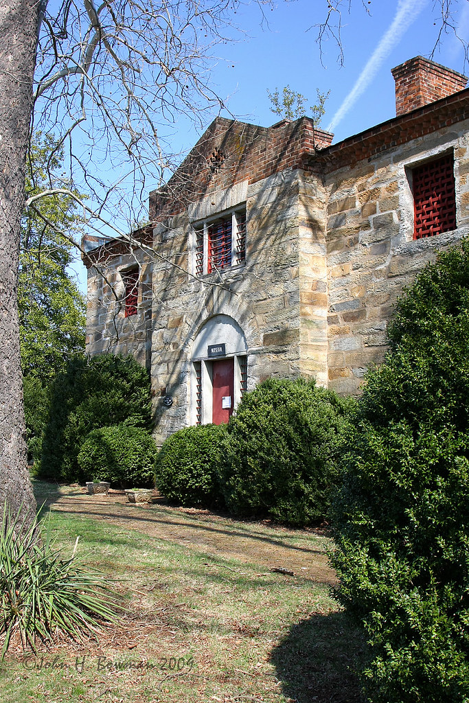
Stone jail
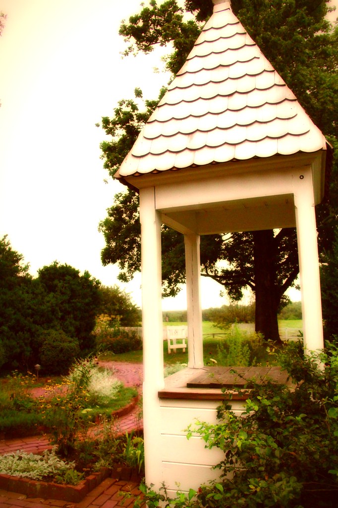
Ash Lawn-Highland Well View
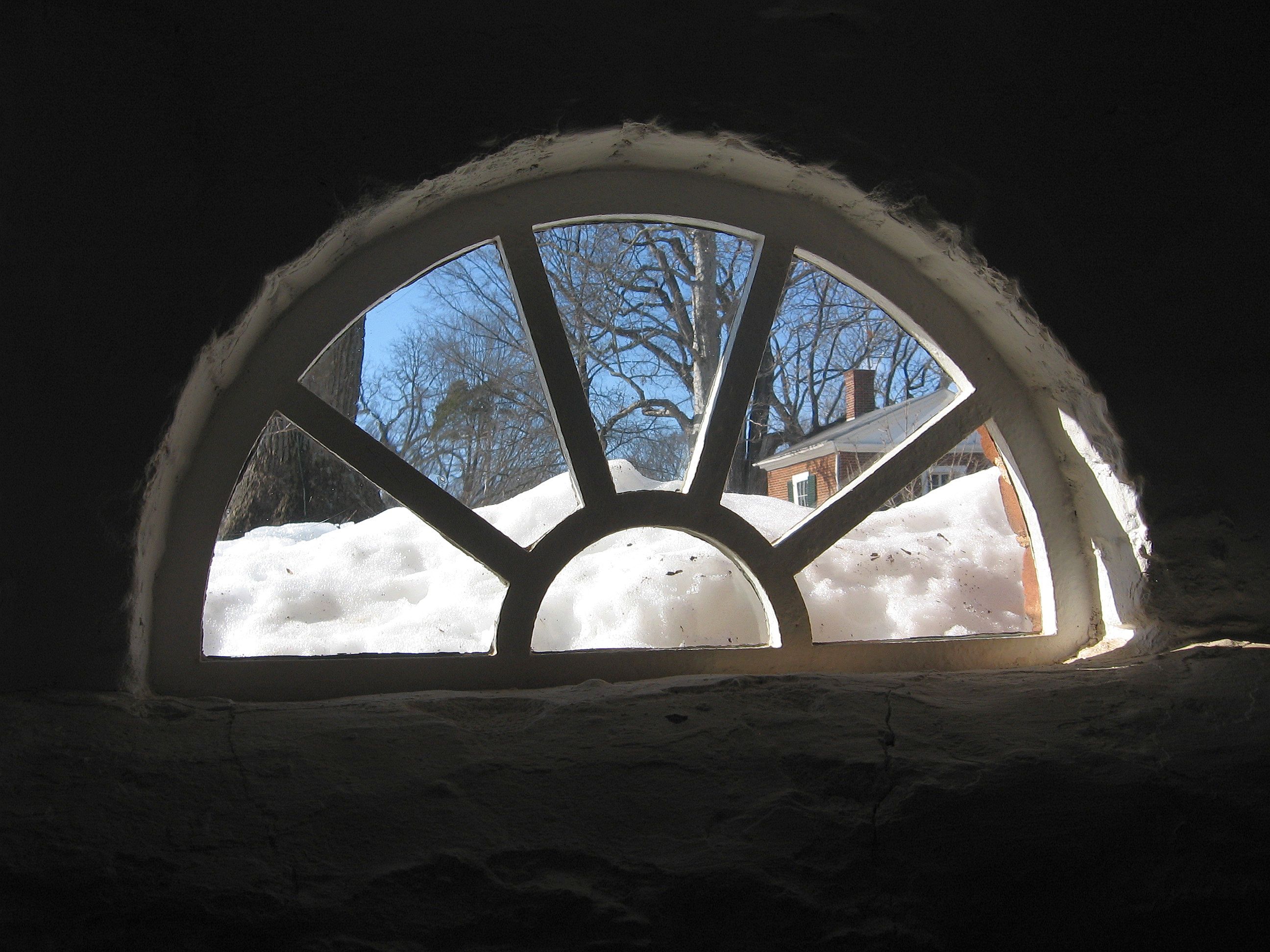
Cellar Window II
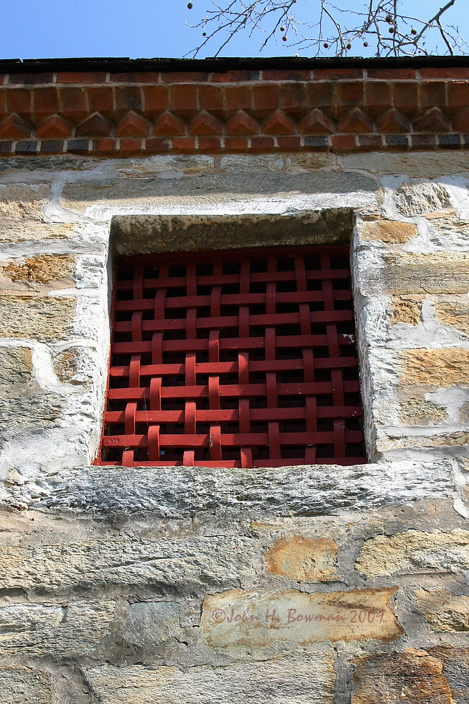
Woven bars
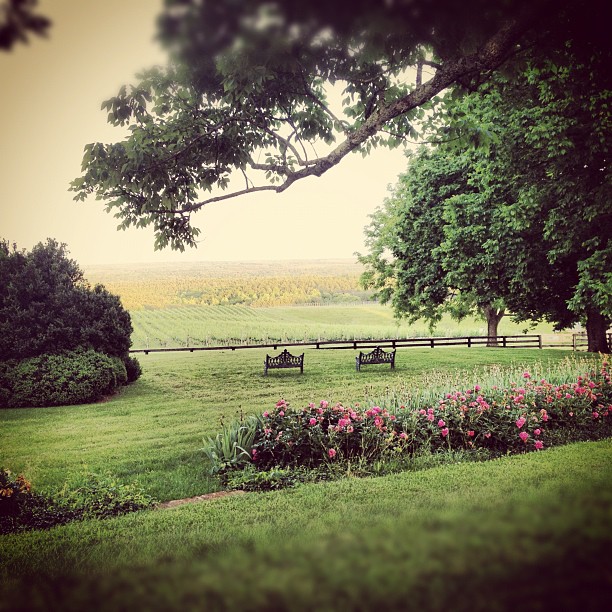
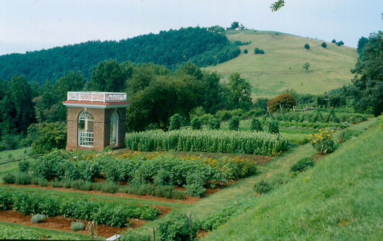
garden view
Fluvanna County courthouse
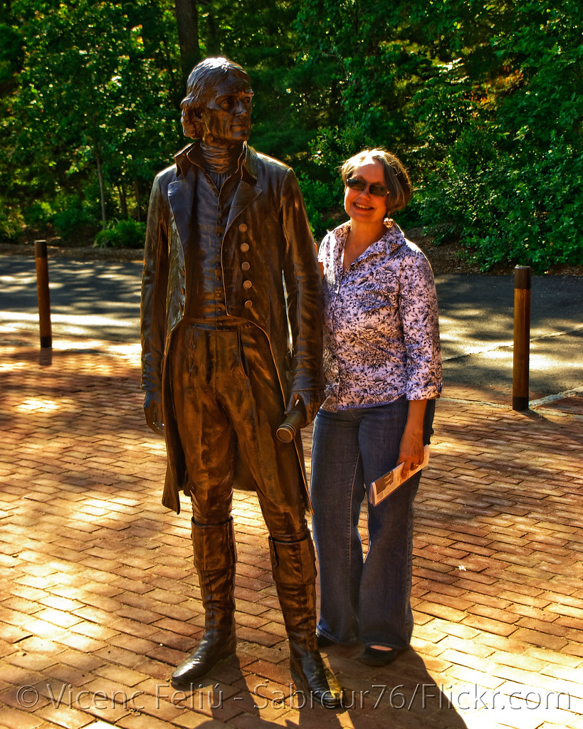
Charlene and Mr Jefferson
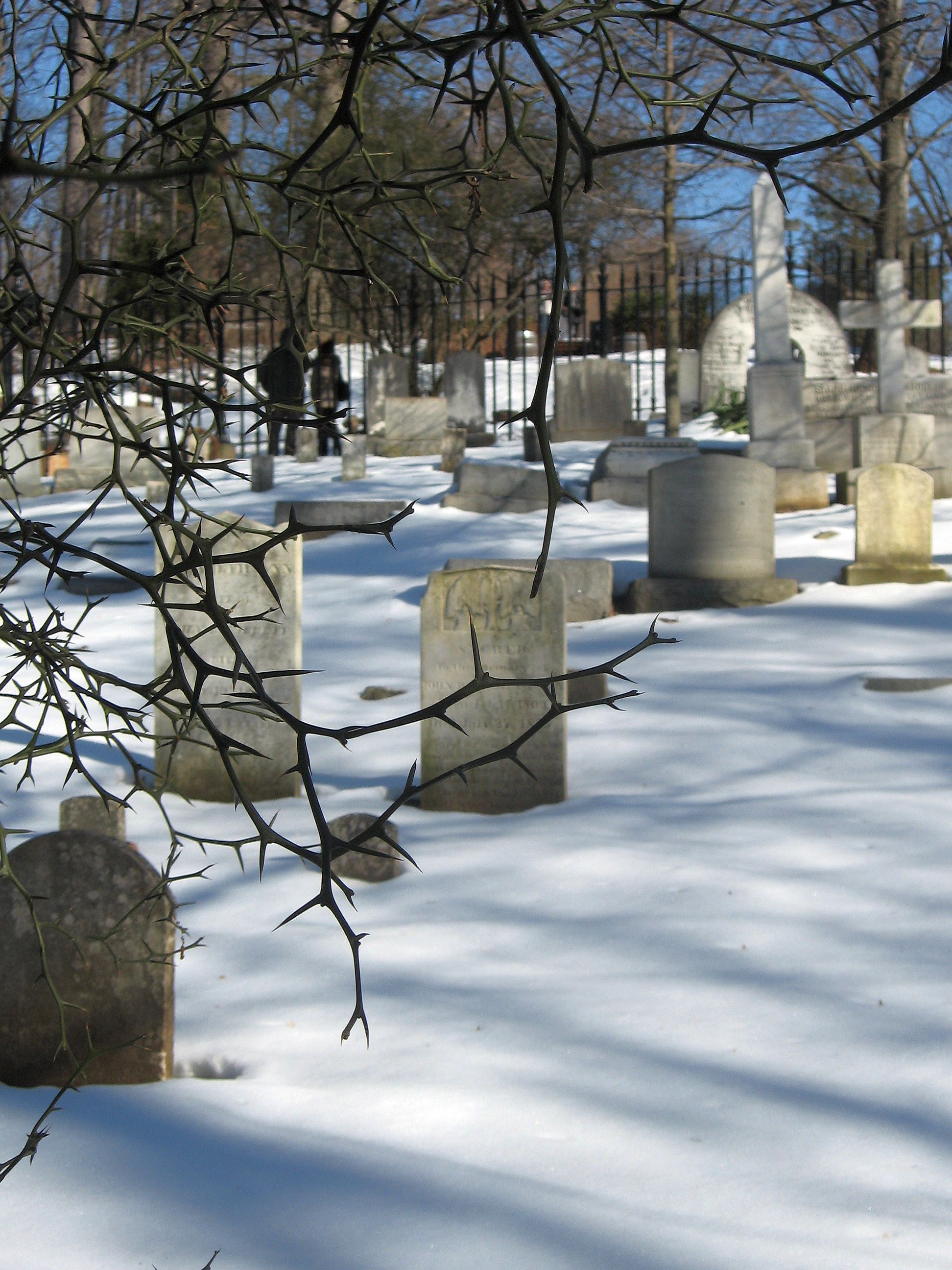
Monticello Graveyard View I
Charlottesville (Va.), 6 August 1991
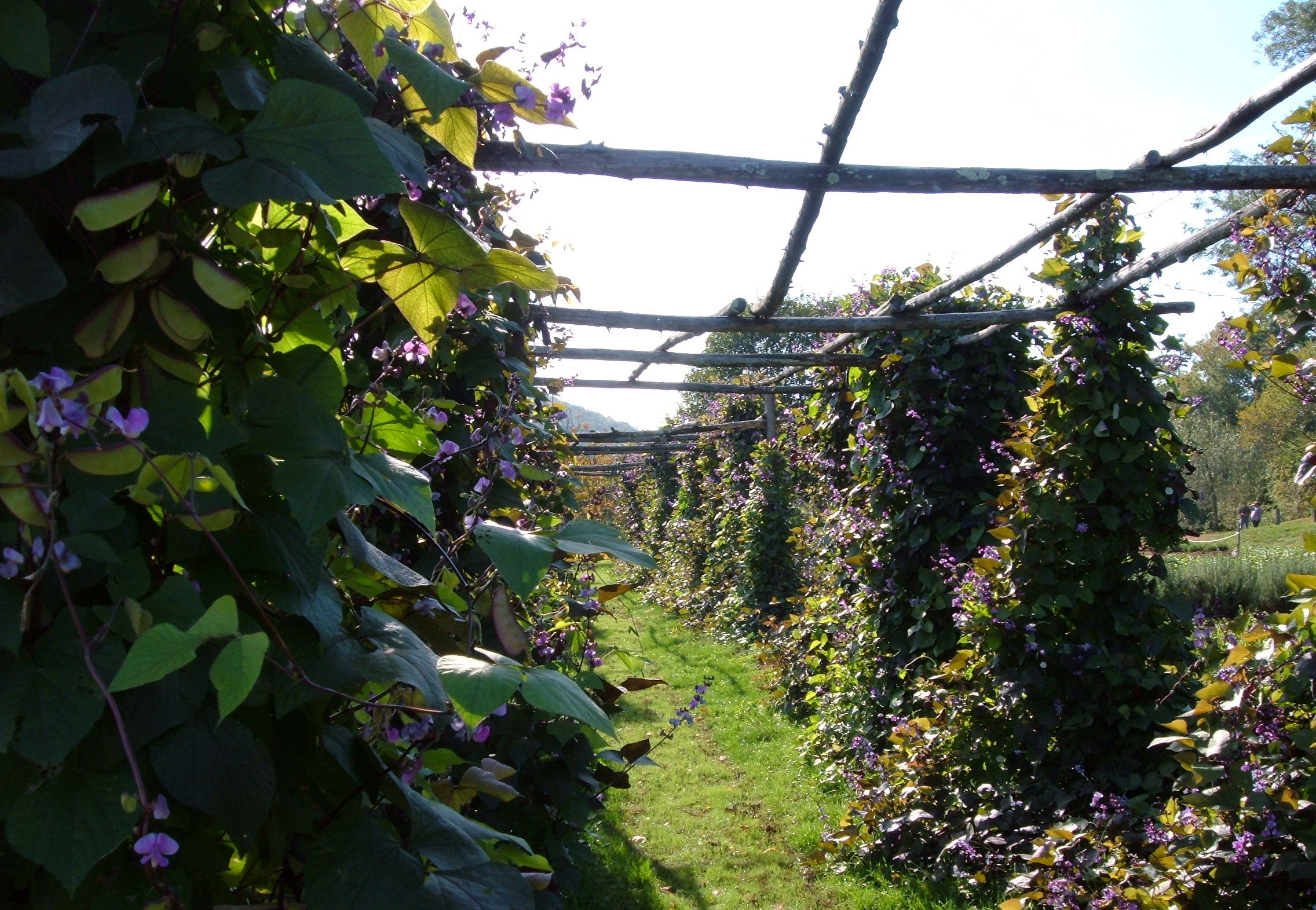
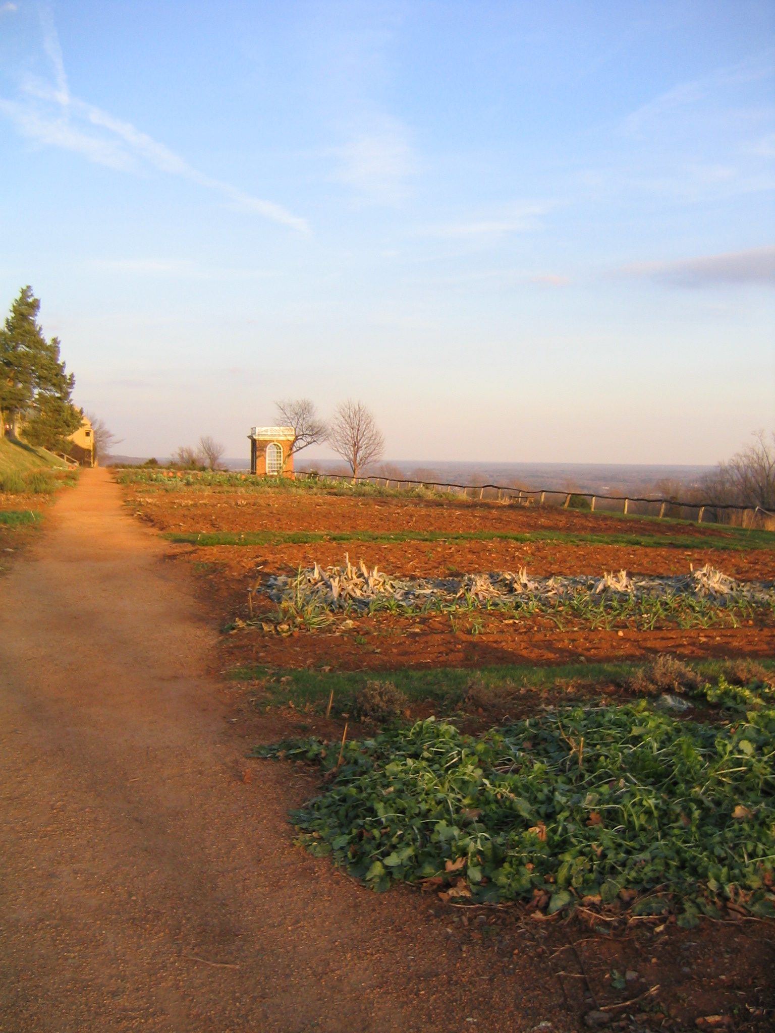
another garden view
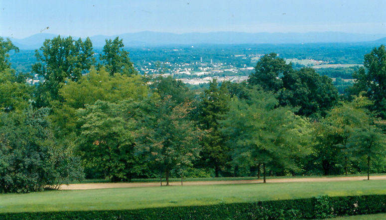
From Carter Mountain southeast
Virginia: Near Charlottesville
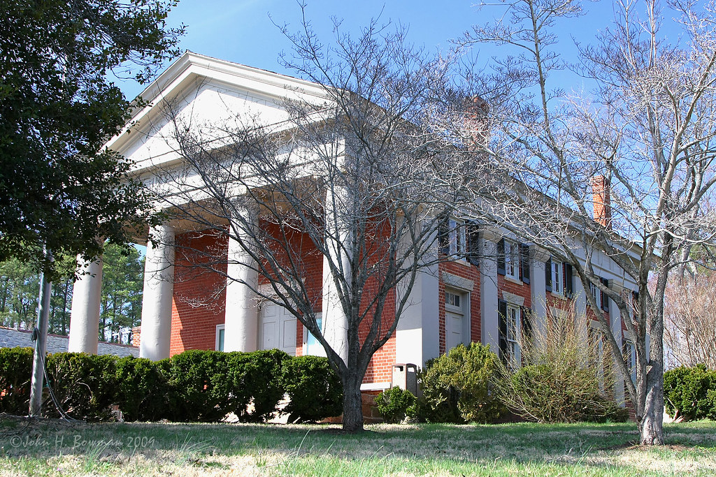
Ash Lawn/Highland

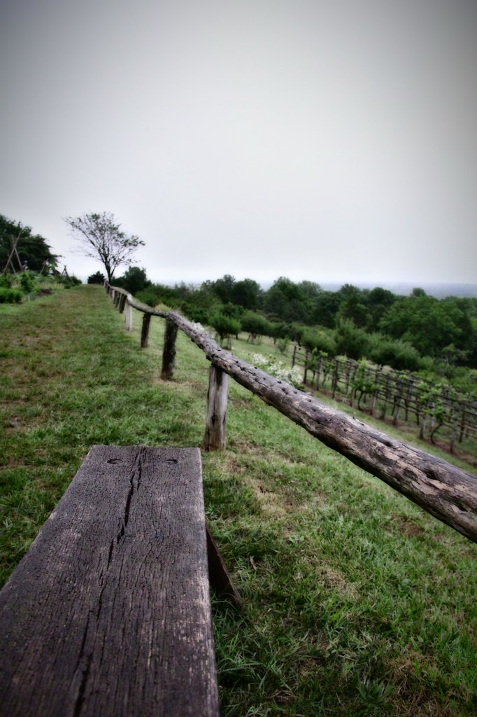
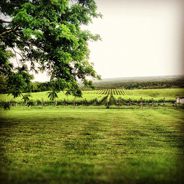
Jefferson Vineyards
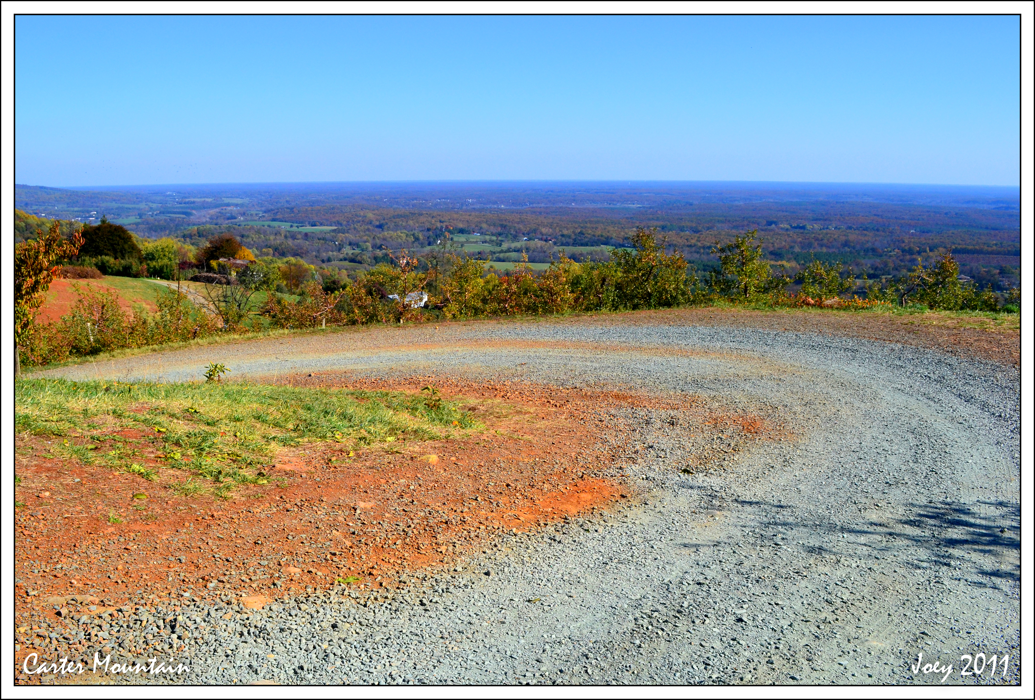
Carter Mountain
Thought House I

Ash Lawn-Highland
Another view of the gardens
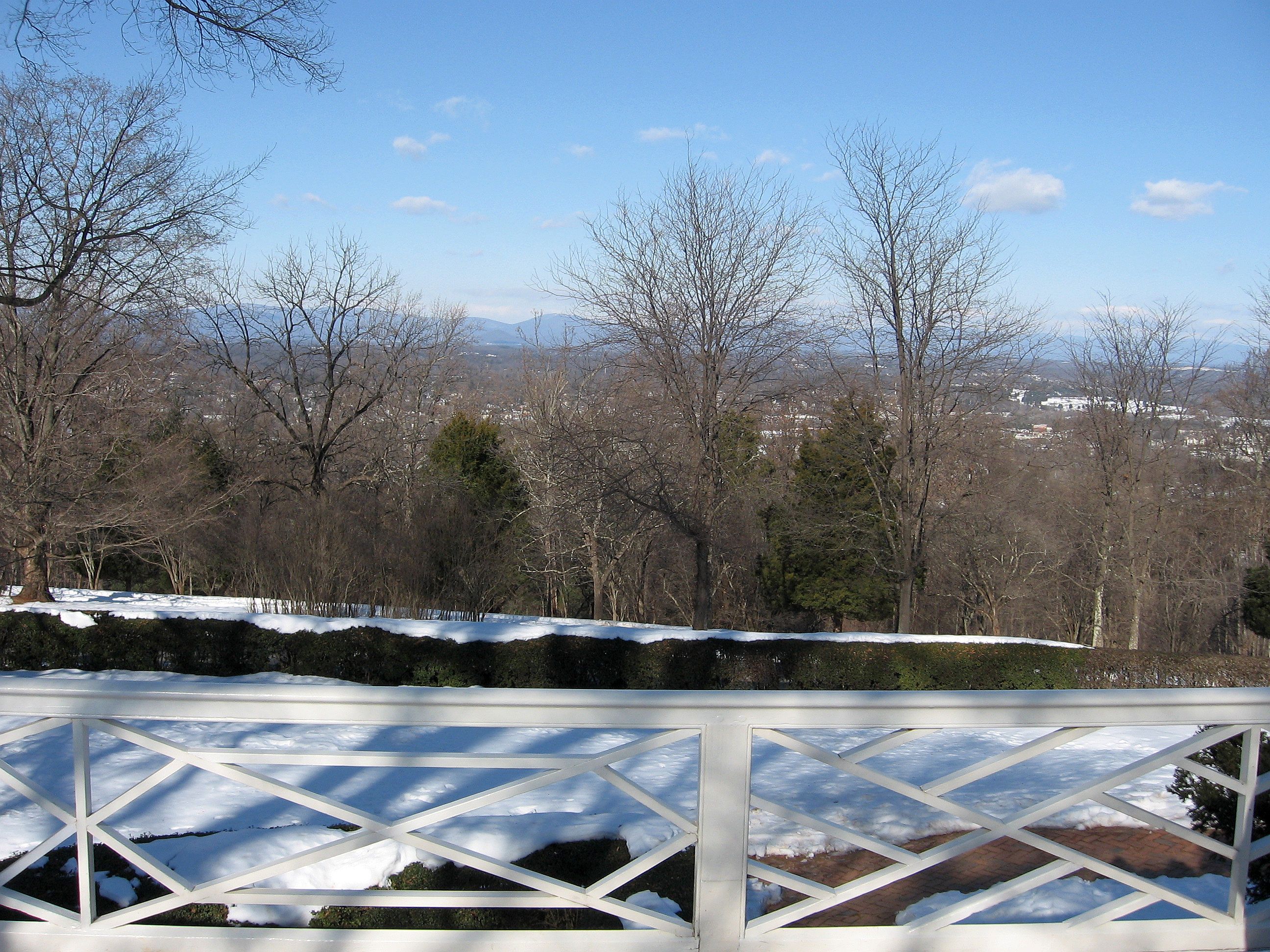
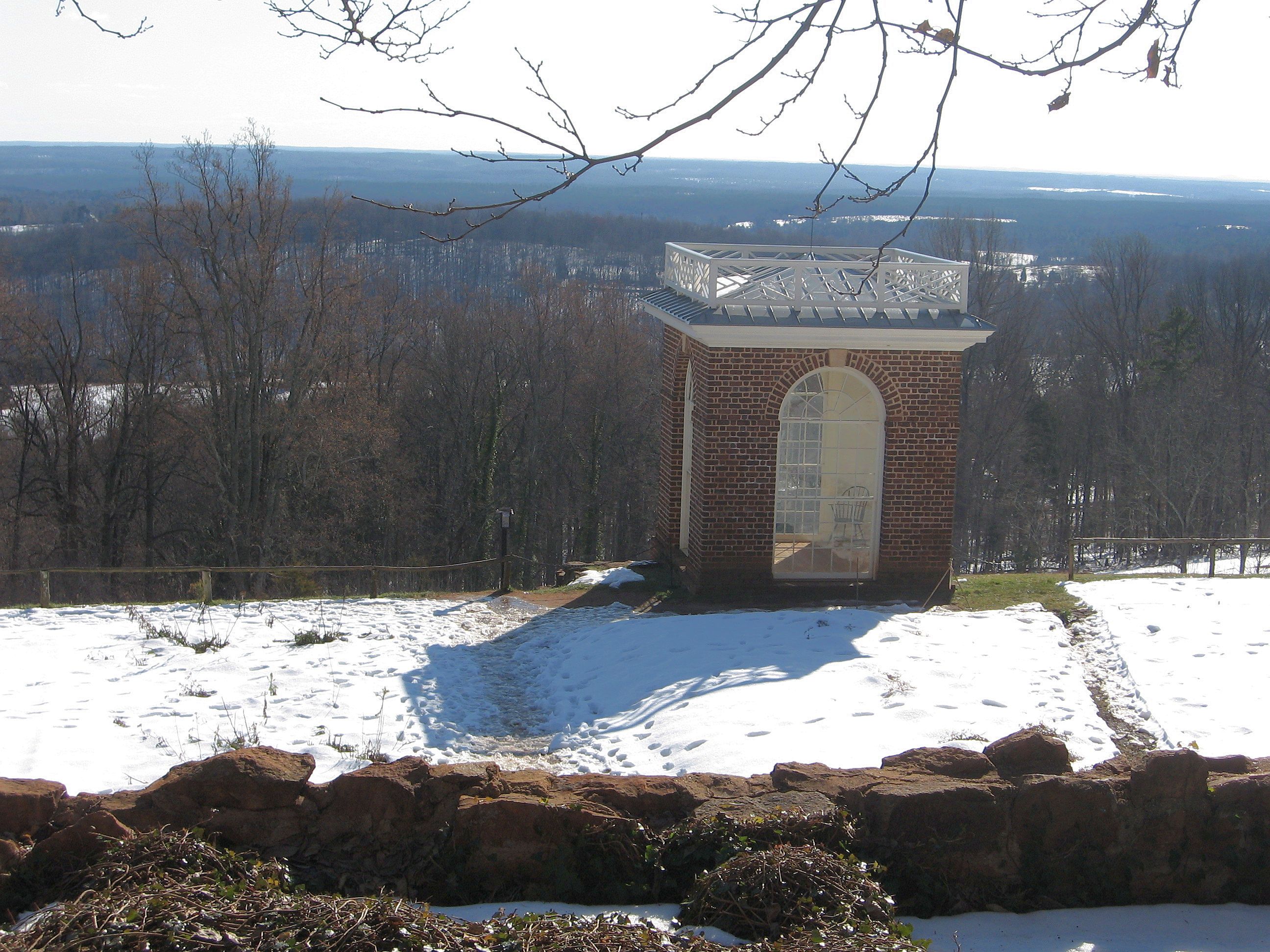
View from North Pavilion
tree science-9364
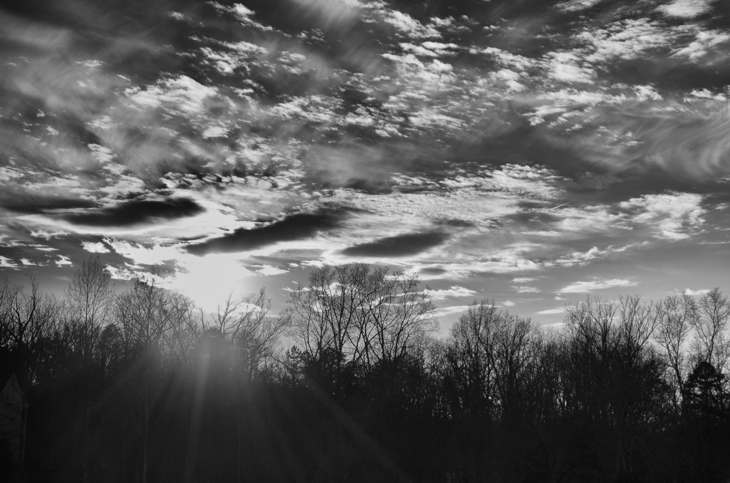
Let the light shine through.

Virginia - Charlottesville - Carters Mountain Rd
The Grapes
The Vineyards

2010-06-19_DC_Trip-D2M_6444-0021
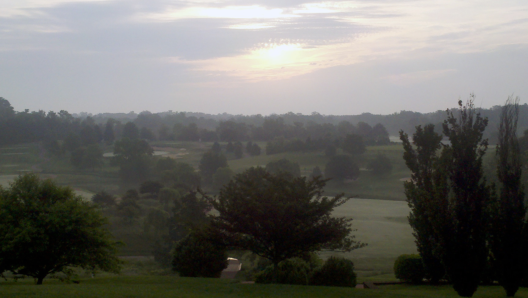
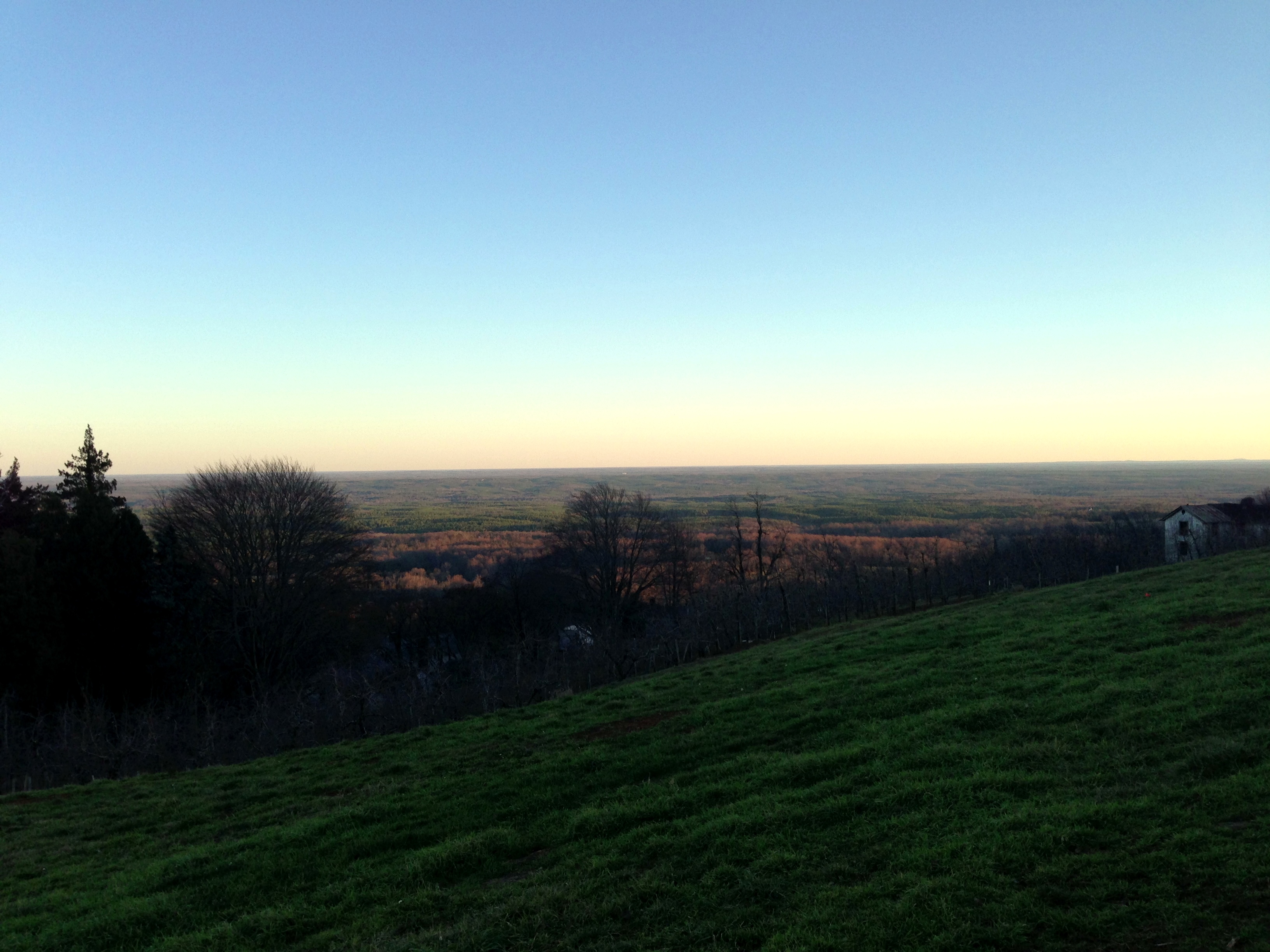
Virginia landscape

2010-06-19_DC_Trip-D2M_6627-0296
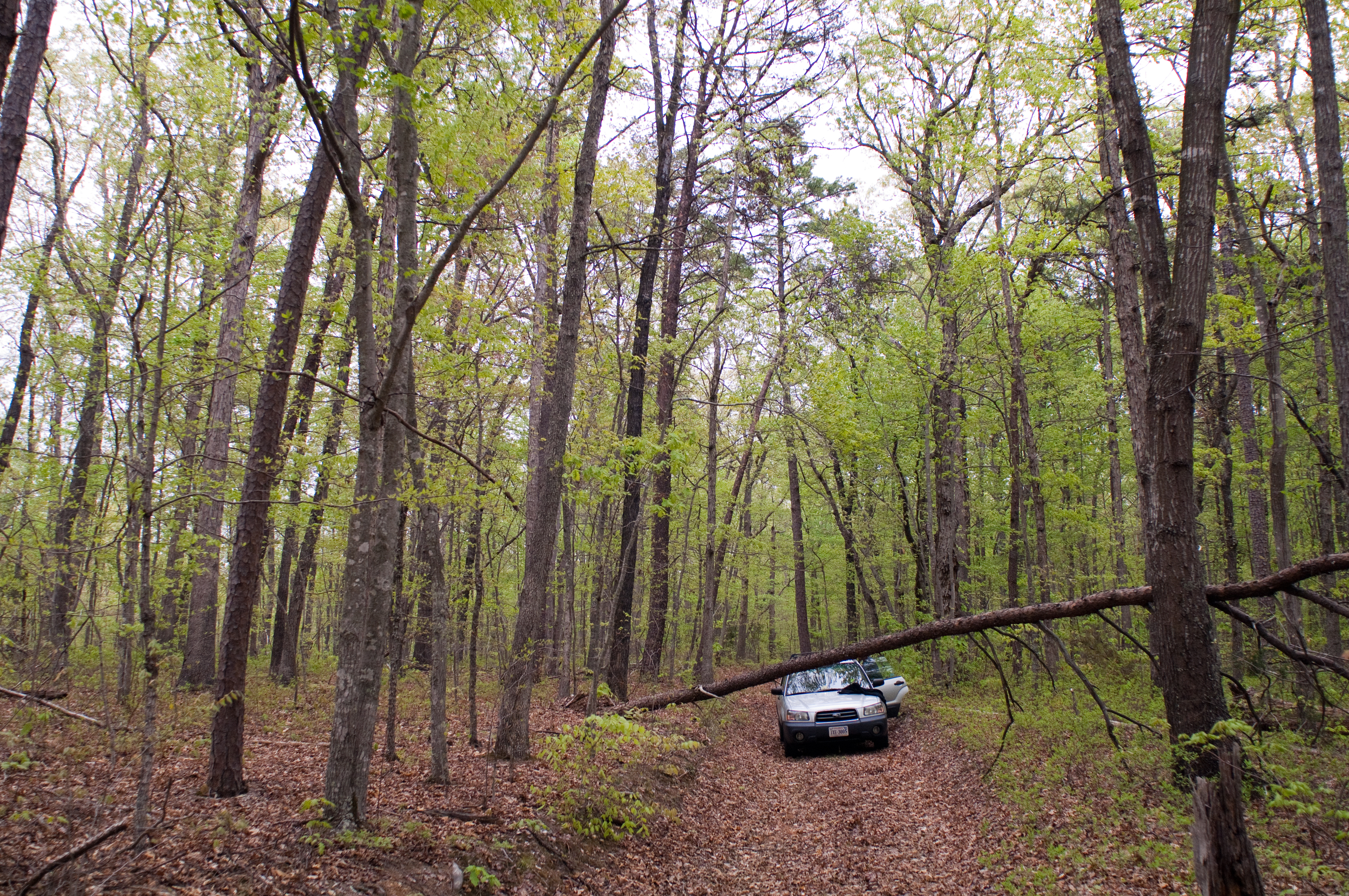
If a tree falls, and nobody is around...
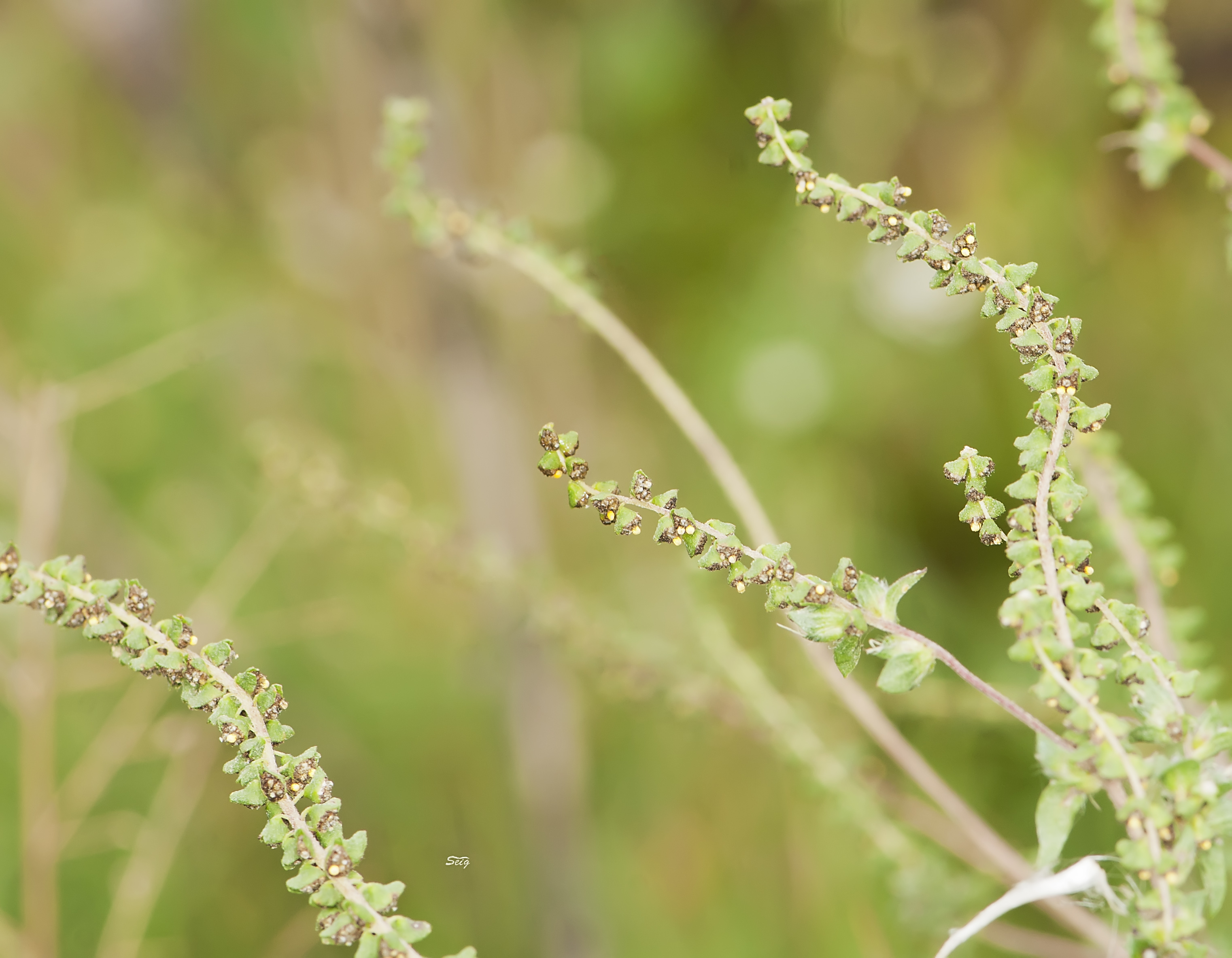
Ragweed Ambrosia artemisiifolia vmnst11_1982
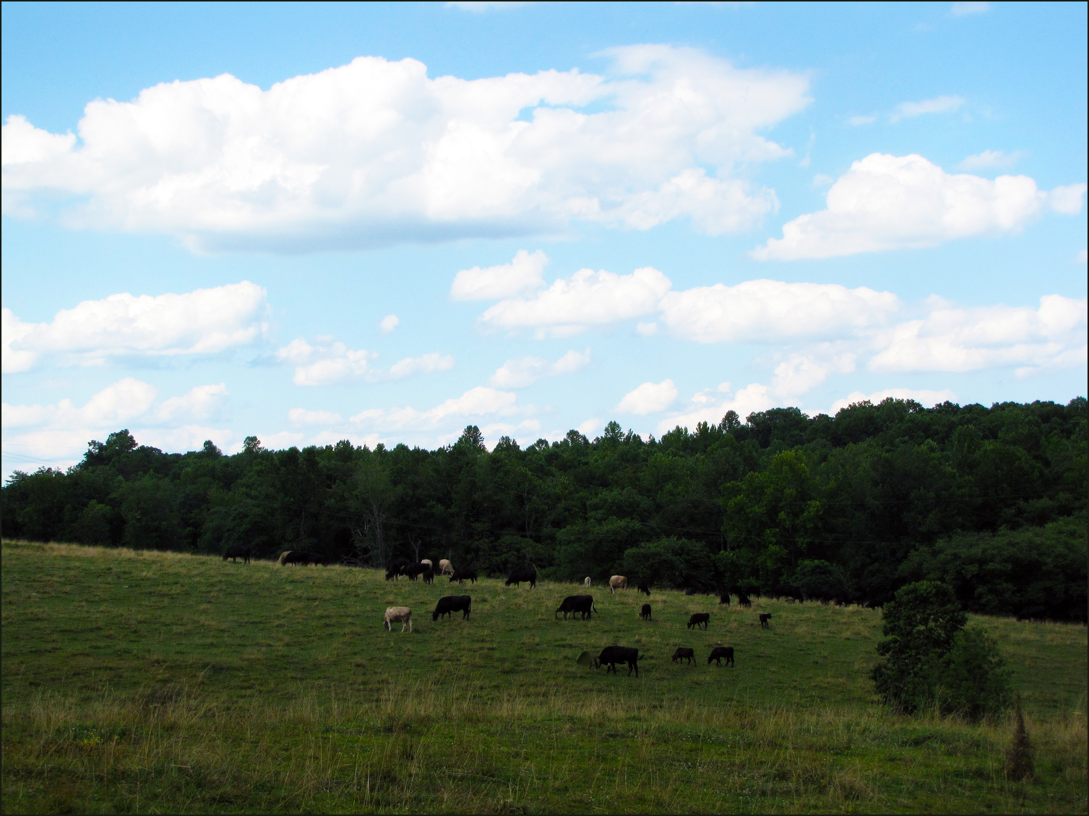
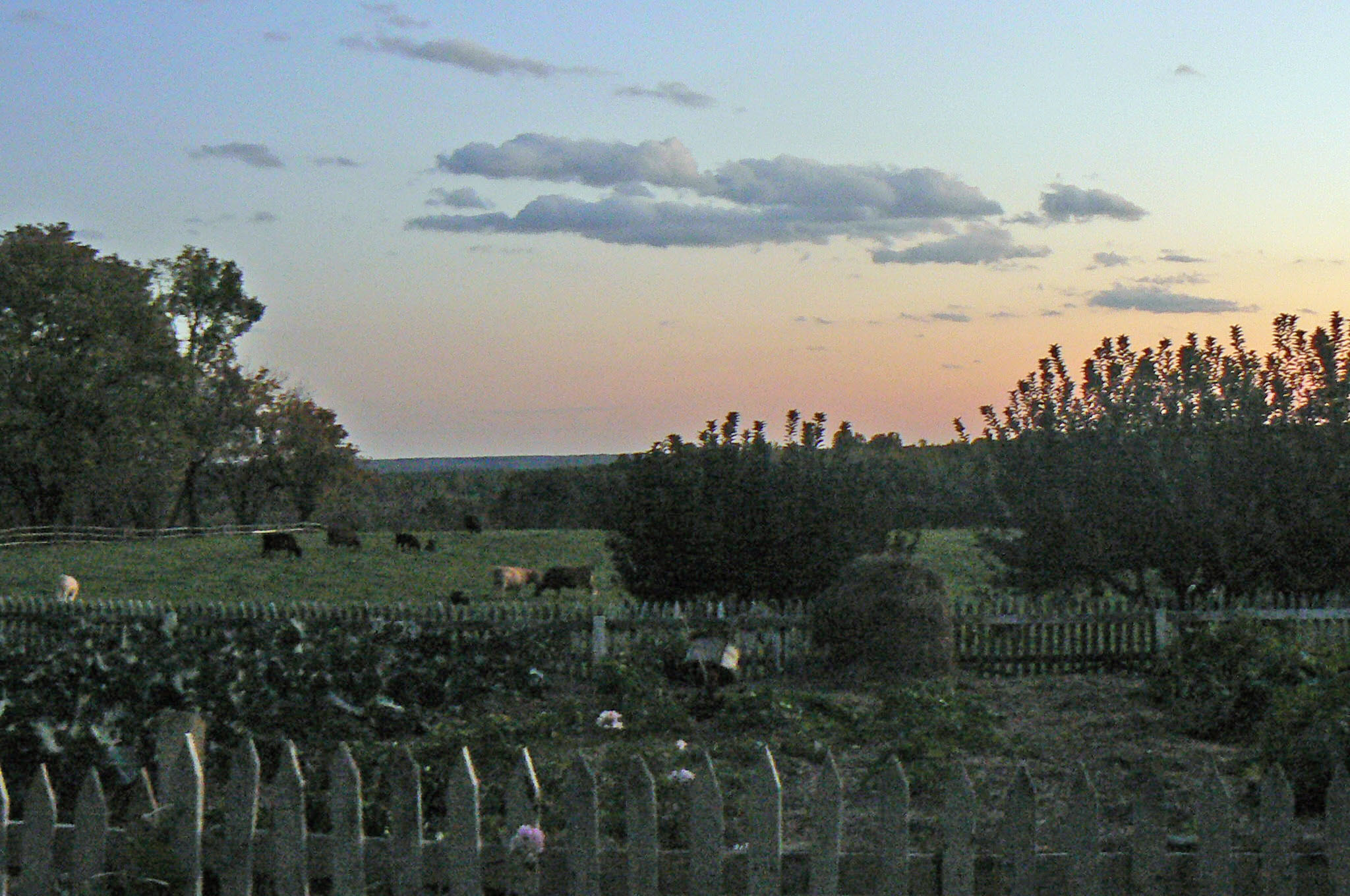
Pasture in Fluvanna Co.
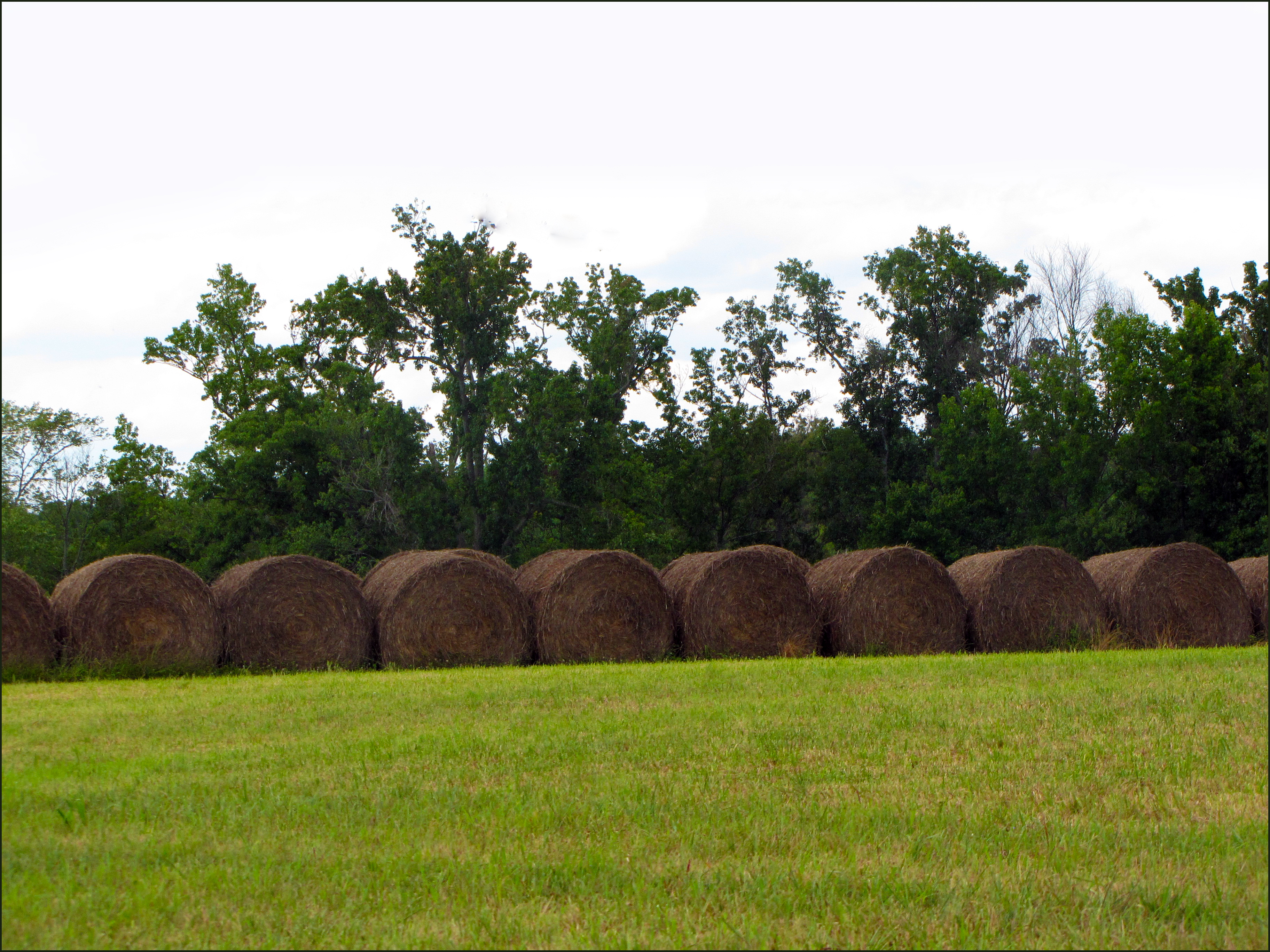
Shredded Wheat for cows
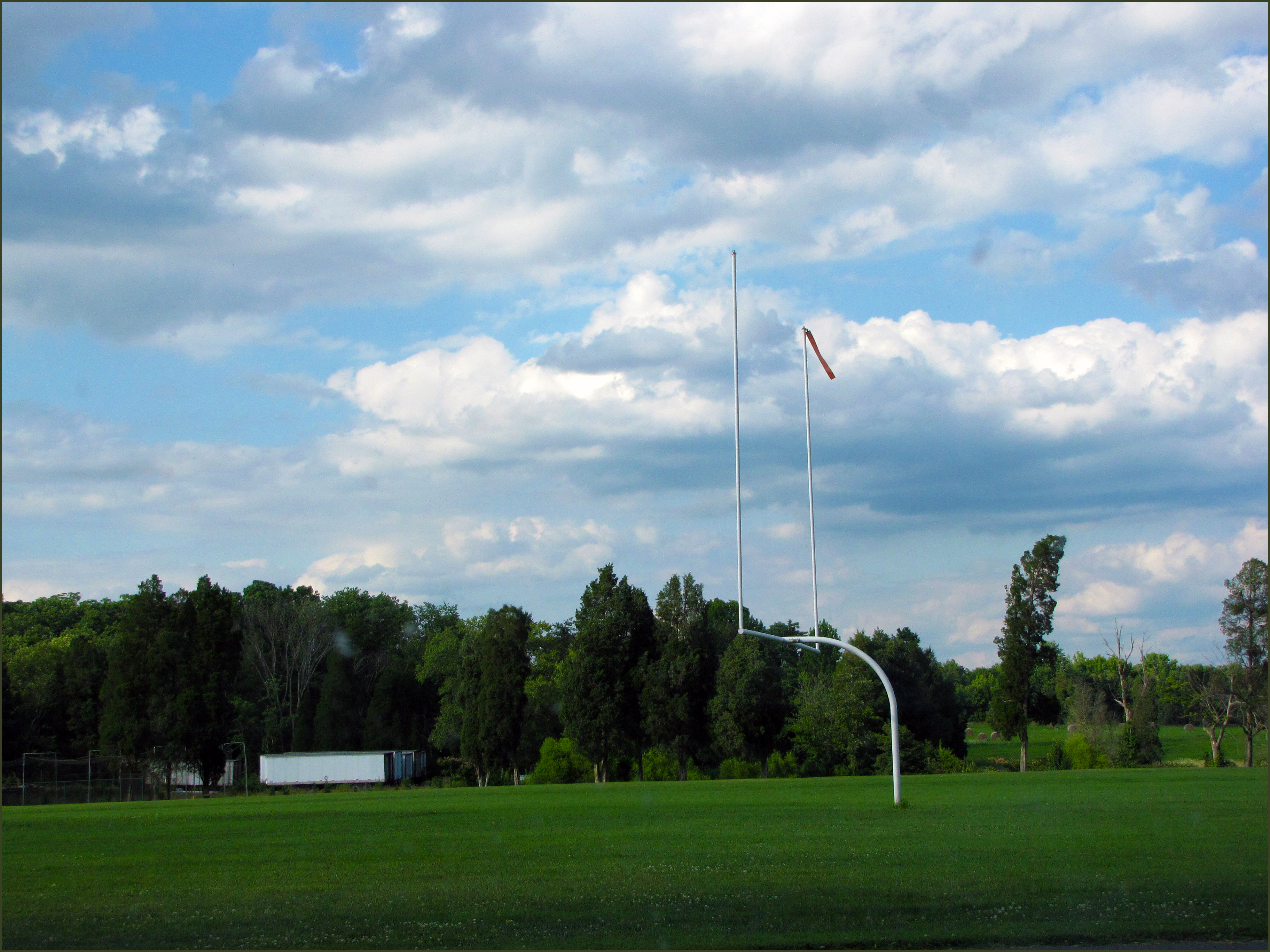
FUMA Athletic Field
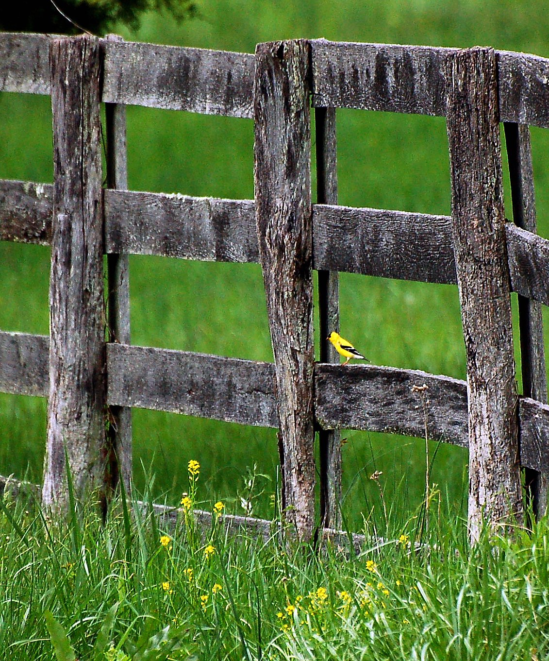
Finch and a fence

2010-06-19_DC_Trip-D2M_6695-0400
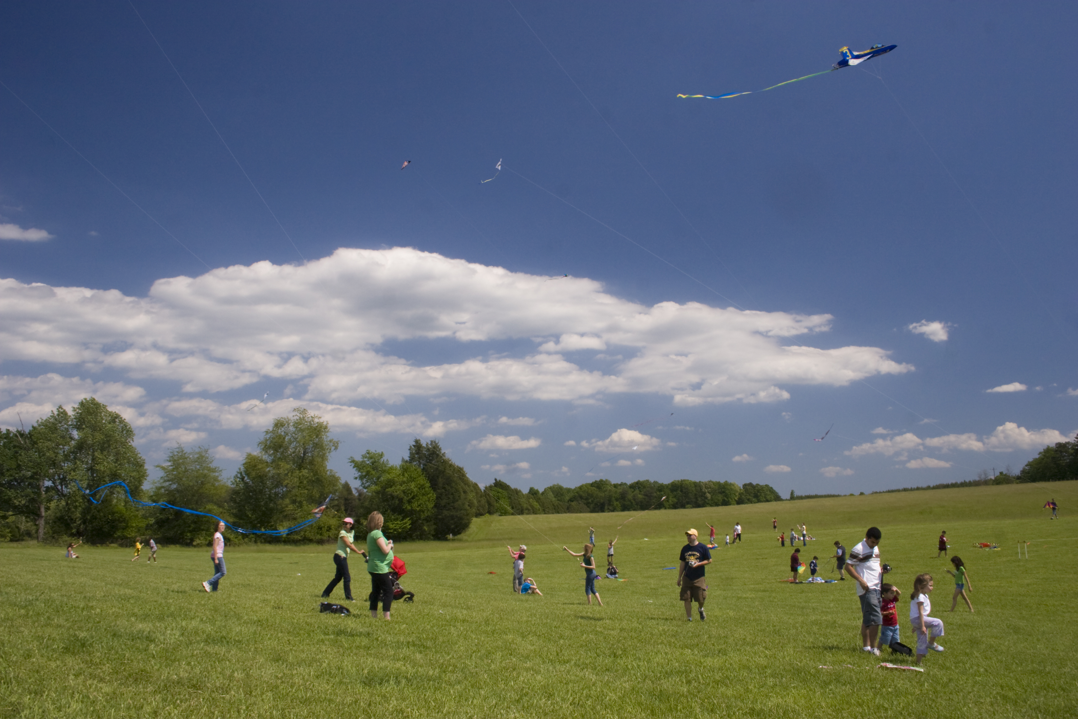
Quetzal Kite festival
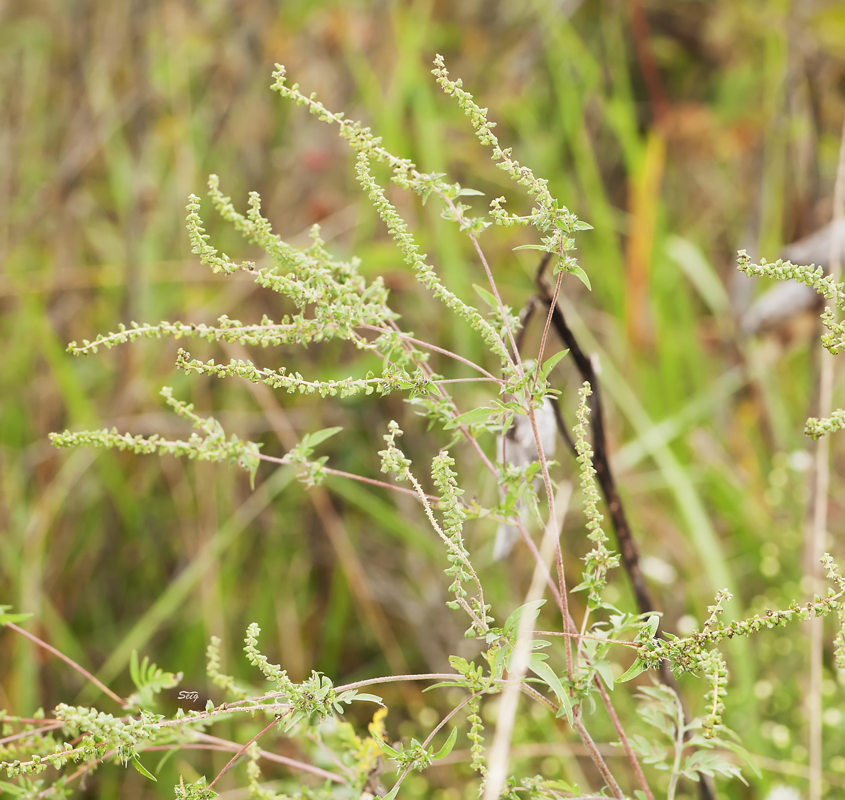
Ragweed Ambrosia artemisiifolia vmnst11_1978
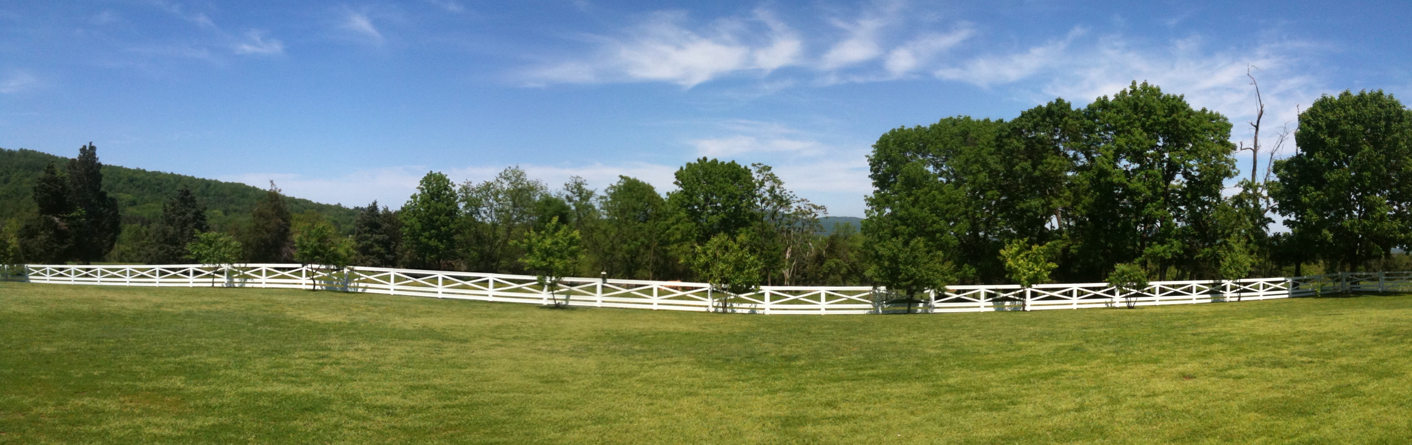
Cow Pasture Fence Panorama
Monticello, Albemarle County (Va.), 6 August 1991
Topographic Map of Cunningham Meadows Dr, Palmyra, VA, USA
Find elevation by address:

Places near Cunningham Meadows Dr, Palmyra, VA, USA:
4 Loving Terrace
Thomas Jefferson Pkwy, Palmyra, VA, USA
Ponderosa Lane
295 Jefferson Dr
295 Jefferson Dr
4 Amethyst Rd
6 Amethyst Rd
Lake Monticello
Rivanna
Justin Drive
15 Bolling Cir
19 Briarwood Rd
27 Lafayette Dr
114 Crofton Pl
570 Jefferson Dr
17 Overlook Cir, Palmyra, VA, USA
Cunningham
335 Hidden Valleys Rd
Palmyra
Palmyra
Recent Searches:
- Elevation of Laurel Rd, Townsend, TN, USA
- Elevation of 3 Nestling Wood Dr, Long Valley, NJ, USA
- Elevation of Ilungu, Tanzania
- Elevation of Yellow Springs Road, Yellow Springs Rd, Chester Springs, PA, USA
- Elevation of Rēzekne Municipality, Latvia
- Elevation of Plikpūrmaļi, Vērēmi Parish, Rēzekne Municipality, LV-, Latvia
- Elevation of 2 Henschke Ct, Caboolture QLD, Australia
- Elevation of Redondo Ave, Long Beach, CA, USA
- Elevation of Sadovaya Ulitsa, 20, Rezh, Sverdlovskaya oblast', Russia
- Elevation of Ulitsa Kalinina, 79, Rezh, Sverdlovskaya oblast', Russia