Elevation of 4 Loving Terrace, Palmyra, VA, USA
Location: United States > Virginia > Fluvanna County > Rivanna > Palmyra >
Longitude: -78.324189
Latitude: 37.898567
Elevation: -10000m / -32808feet
Barometric Pressure: 295KPa
Elevation Map:
Satellite Map:
Related Photos:

Stone jail

Black-and-white Warbler

Black-billed Cuckoo

Looking North West

Back View of Fluvanna County (VA) Courthouse

Ash Lawn-Highland Well View

Charlottesville (Va.), 6 August 1991
Fluvanna County courthouse

Spider Redux

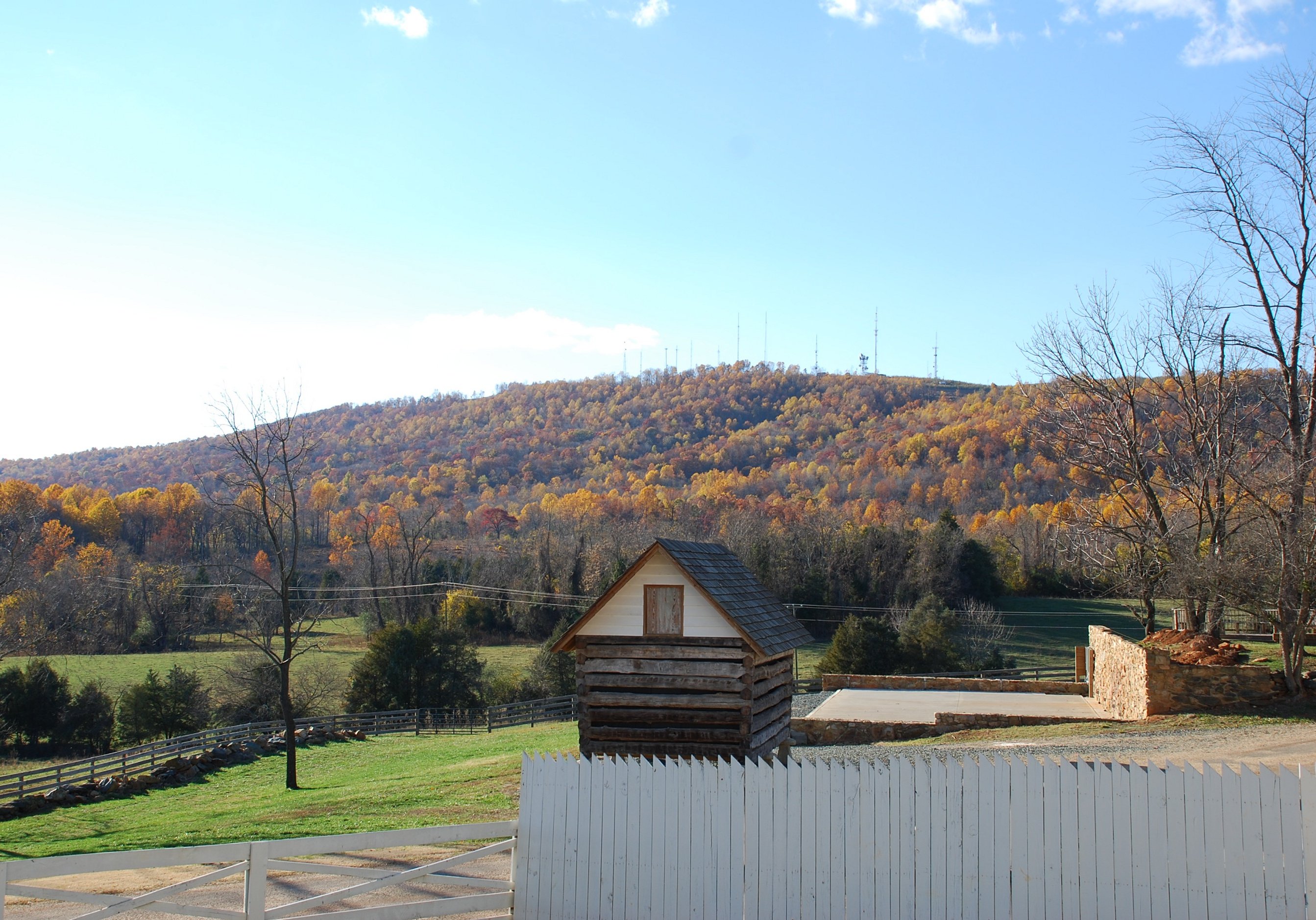
Pretty View

Ash Lawn/Highland

Virginia: Near Charlottesville

Jefferson Vineyards

Ash Lawn-Highland

C&O - Black Cat Road, Keswick, Virginia

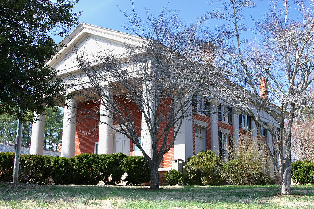
Monroe House
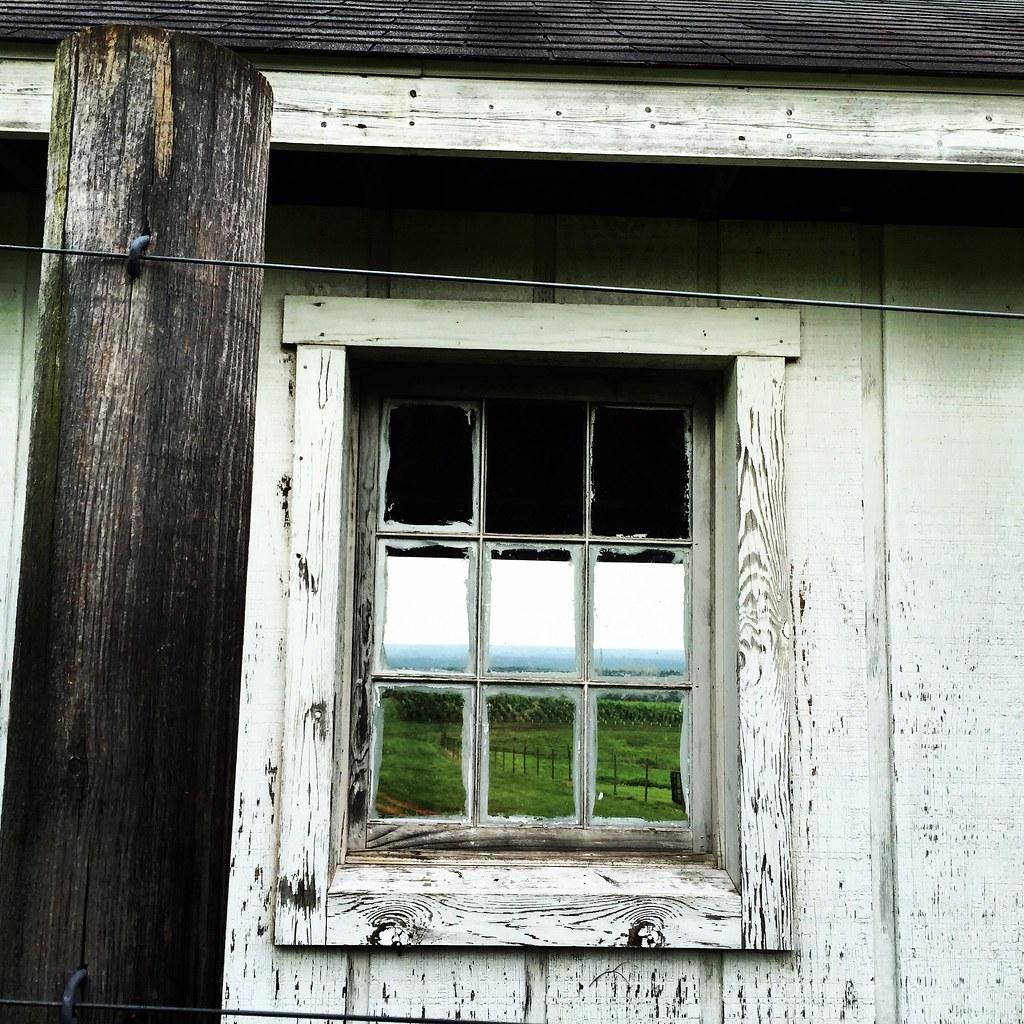
vineyard view

rocks and trees

Palmyra VA

garden view
From the ground of Ash Lawn-Highland

Thread-waisted Wasp Ammophila sp vmnst11-a_2151

Country Roads, Take Me Home

Gig with #infullband

Let the light shine through.

Sky Over Blenheim Vineyards

US VA Charlottesville - Carters Mountain Rd

The Grapes

Virginia landscape

Ragweed Ambrosia artemisiifolia vmnst11_1982

If a tree falls, and nobody is around...

Shredded Wheat for cows
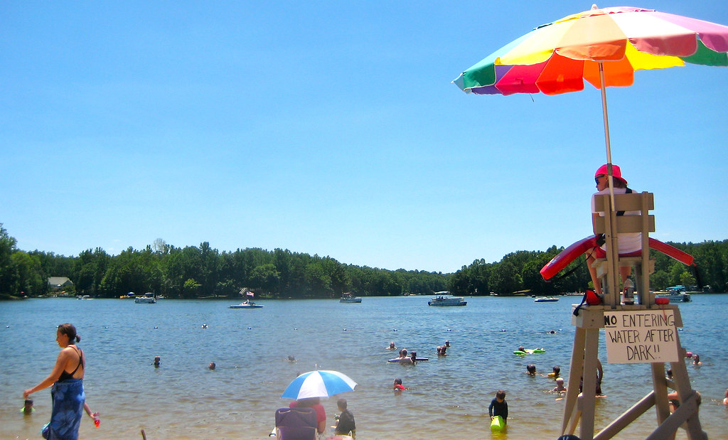
20100703 - Daytime Swimming Only

Cow Pasture Fence Panorama

Blue Ridge Rain

Horses and sunset in keswick va

Ash Lawn-Highland

tree science-9364

Dads across the lake

At Trump Vineyard

Quetzal Kite festival - Octopus kite
Topographic Map of 4 Loving Terrace, Palmyra, VA, USA
Find elevation by address:

Places near 4 Loving Terrace, Palmyra, VA, USA:
Ponderosa Lane
290 Cunningham Meadows Dr
4 Amethyst Rd
6 Amethyst Rd
295 Jefferson Dr
295 Jefferson Dr
Lake Monticello
Justin Drive
Rivanna
Thomas Jefferson Pkwy, Palmyra, VA, USA
15 Bolling Cir
114 Crofton Pl
17 Overlook Cir, Palmyra, VA, USA
19 Briarwood Rd
27 Lafayette Dr
570 Jefferson Dr
Cunningham
Palmyra
335 Hidden Valleys Rd
Palmyra
Recent Searches:
- Elevation of Sattva Horizon, 4JC6+G9P, Vinayak Nagar, Kattigenahalli, Bengaluru, Karnataka, India
- Elevation of Great Brook Sports, Gold Star Hwy, Groton, CT, USA
- Elevation of 10 Mountain Laurels Dr, Nashua, NH, USA
- Elevation of 16 Gilboa Ln, Nashua, NH, USA
- Elevation of Laurel Rd, Townsend, TN, USA
- Elevation of 3 Nestling Wood Dr, Long Valley, NJ, USA
- Elevation of Ilungu, Tanzania
- Elevation of Yellow Springs Road, Yellow Springs Rd, Chester Springs, PA, USA
- Elevation of Rēzekne Municipality, Latvia
- Elevation of Plikpūrmaļi, Vērēmi Parish, Rēzekne Municipality, LV-, Latvia