Elevation of Cuchillo de Fernando, Cuchillo De Fernando, New Mexico, USA
Location: United States > New Mexico > Taos >
Longitude: -105.35806
Latitude: 36.2686423
Elevation: 3445m / 11302feet
Barometric Pressure: 66KPa
Elevation Map:
Satellite Map:
Related Photos:
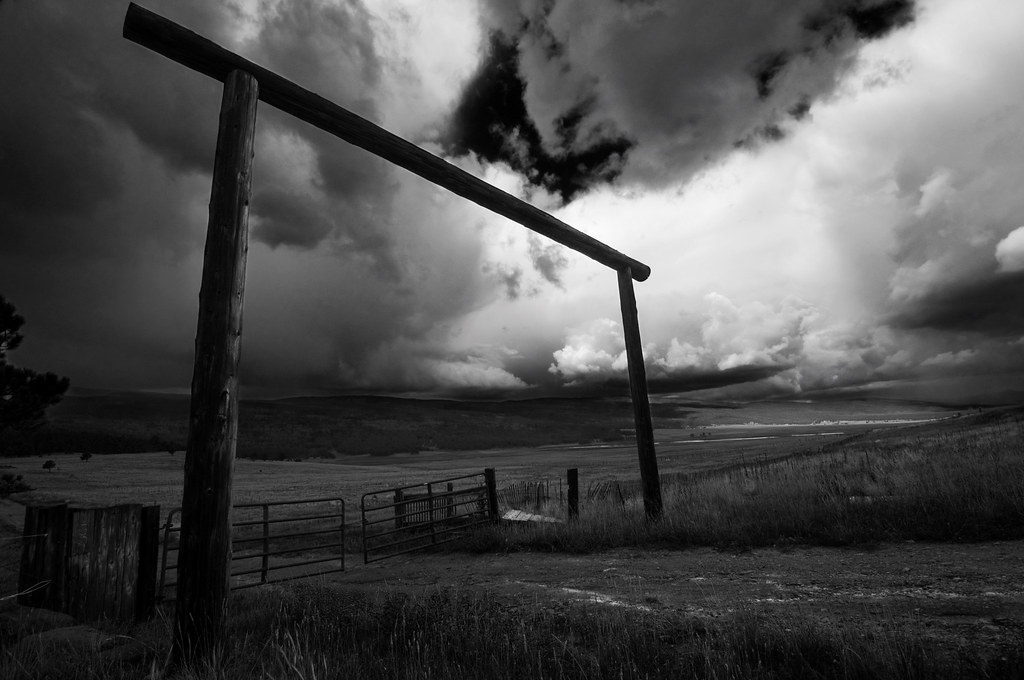
Black Lakes Entrance B&W
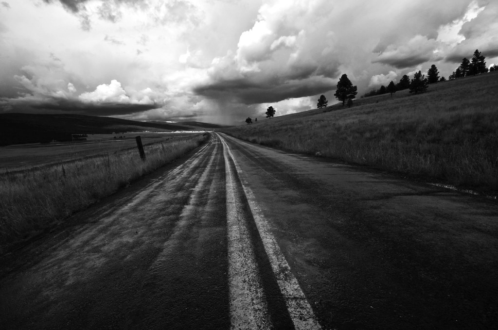
Highway to Black Lakes B&W
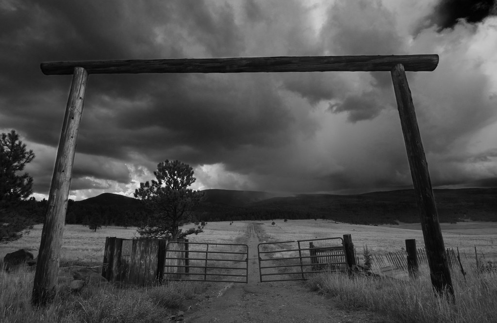
Road to Rain Black Lakes B&W

BlackLake Down Pour B&W
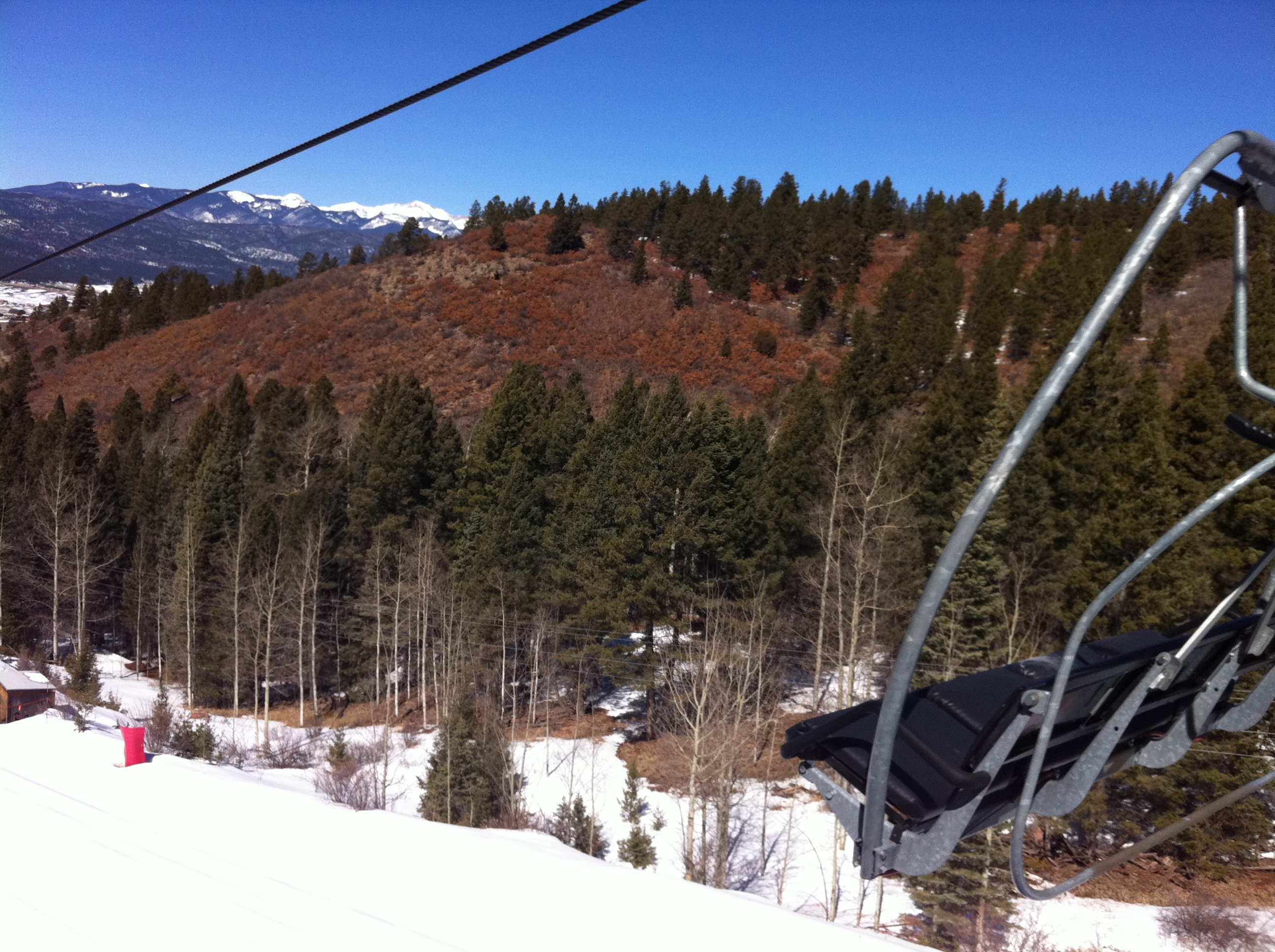
View from the lift
Topographic Map of Cuchillo de Fernando, Cuchillo De Fernando, New Mexico, USA
Find elevation by address:

Places near Cuchillo de Fernando, Cuchillo De Fernando, New Mexico, USA:
Osha Mountain
Cerro Vista
49 Martin Luther King
49 Martin Luther King
Sierra De Don Fernando
Valle Escondido
Black Lake
13 Mountain Lake Way
26778 Us-64
45 Vía Del Rey
55 Santo Domingo Trail
25 Spyglass Hill Rd
25 Spyglass Hill Rd
Coyote Creek
26512 Us-64
Ute Valley Drive
11 Nicholas Cir
Angel Fire Country Club
Vail Overlook
216 El Camino Real
Recent Searches:
- Elevation of Corso Fratelli Cairoli, 35, Macerata MC, Italy
- Elevation of Tallevast Rd, Sarasota, FL, USA
- Elevation of 4th St E, Sonoma, CA, USA
- Elevation of Black Hollow Rd, Pennsdale, PA, USA
- Elevation of Oakland Ave, Williamsport, PA, USA
- Elevation of Pedrógão Grande, Portugal
- Elevation of Klee Dr, Martinsburg, WV, USA
- Elevation of Via Roma, Pieranica CR, Italy
- Elevation of Tavkvetili Mountain, Georgia
- Elevation of Hartfords Bluff Cir, Mt Pleasant, SC, USA