Elevation of Cerro Vista, New Mexico, USA
Location: United States > New Mexico > Taos County > Vadito >
Longitude: -105.41028
Latitude: 36.2350302
Elevation: 3201m / 10502feet
Barometric Pressure: 68KPa
Elevation Map:
Satellite Map:
Related Photos:
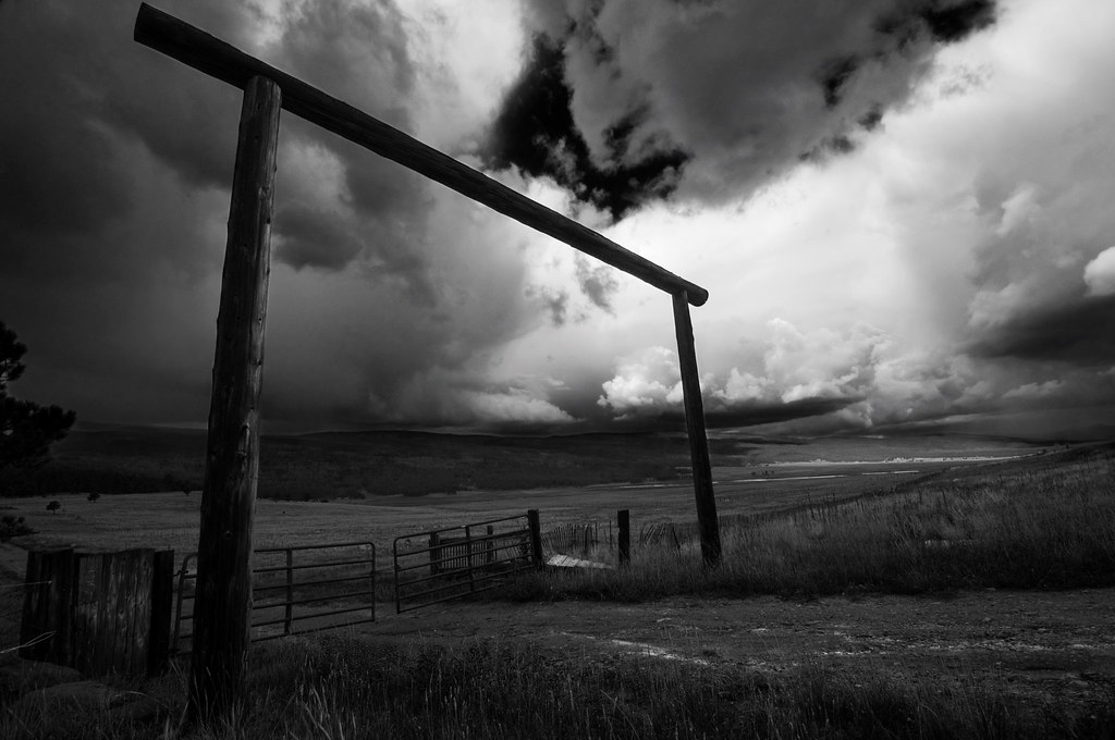
Black Lakes Entrance B&W
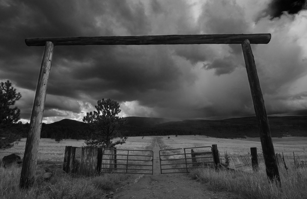
Road to Rain Black Lakes B&W

BlackLake Down Pour B&W
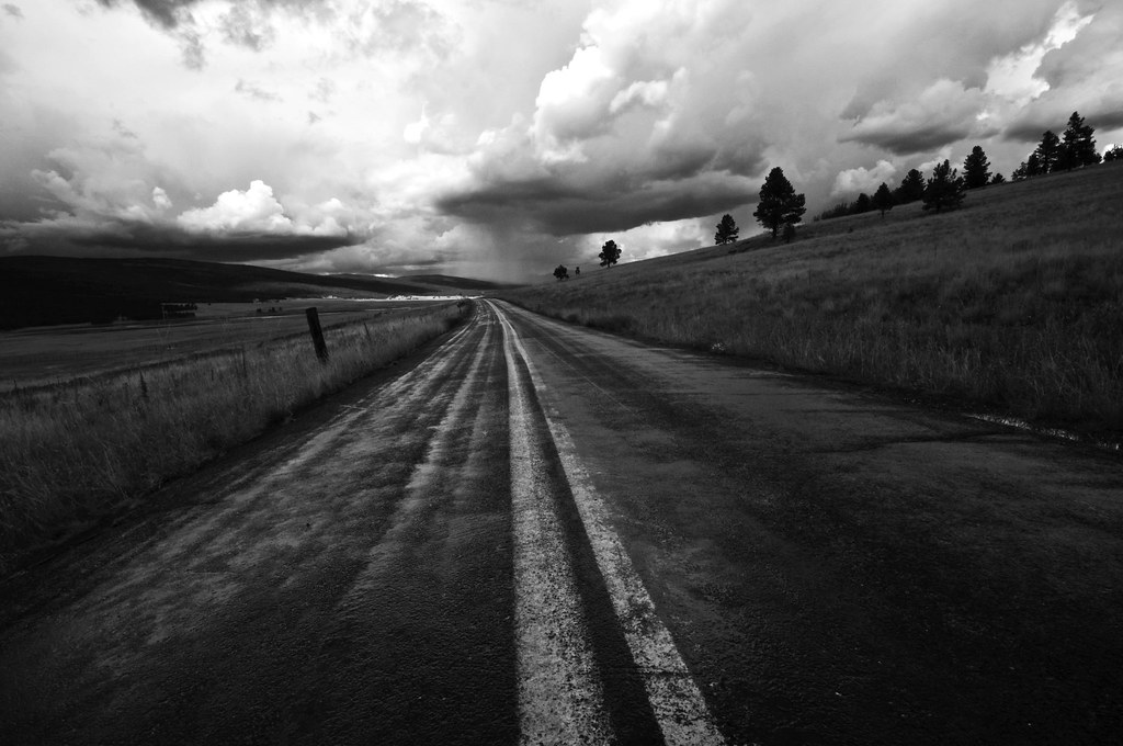
Highway to Black Lakes B&W
Topographic Map of Cerro Vista, New Mexico, USA
Find elevation by address:

Places near Cerro Vista, New Mexico, USA:
Cuchillo De Fernando
Osha Mountain
Sierra De Don Fernando
49 Martin Luther King
49 Martin Luther King
Valle Escondido
26512 Us-64
Shady Brook
26778 Us-64
13 Mountain Lake Way
Black Lake
45 Vía Del Rey
55 Santo Domingo Trail
Coyote Creek
25 Spyglass Hill Rd
25 Spyglass Hill Rd
11 Nicholas Cir
Angel Fire Country Club
Ute Valley Drive
Vail Overlook
Recent Searches:
- Elevation of Corso Fratelli Cairoli, 35, Macerata MC, Italy
- Elevation of Tallevast Rd, Sarasota, FL, USA
- Elevation of 4th St E, Sonoma, CA, USA
- Elevation of Black Hollow Rd, Pennsdale, PA, USA
- Elevation of Oakland Ave, Williamsport, PA, USA
- Elevation of Pedrógão Grande, Portugal
- Elevation of Klee Dr, Martinsburg, WV, USA
- Elevation of Via Roma, Pieranica CR, Italy
- Elevation of Tavkvetili Mountain, Georgia
- Elevation of Hartfords Bluff Cir, Mt Pleasant, SC, USA