Elevation of 13 Mountain Lake Way, Angel Fire, NM, USA
Location: United States > New Mexico > Colfax County > Angel Fire >
Longitude: -105.29655
Latitude: 36.3535898
Elevation: -10000m / -32808feet
Barometric Pressure: 295KPa
Elevation Map:
Satellite Map:
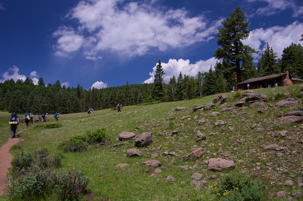
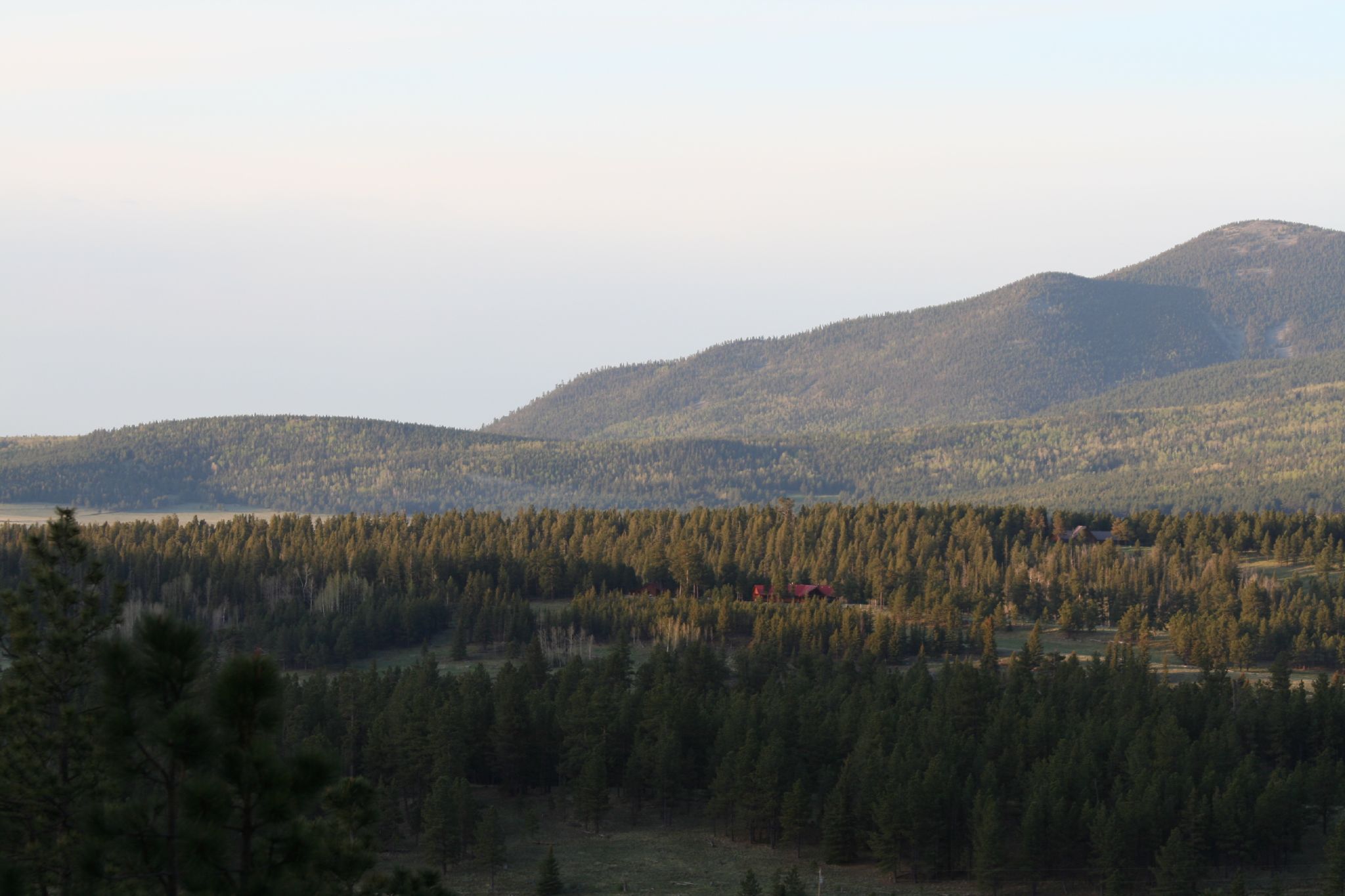
Related Photos:

View from the lift

View of the Chapel

A View from the balcony

Highway to Black Lakes B&W

CIMG1104.JPG

BlackLake Down Pour B&W

Carson National Forest, New Mexico

Enchanted Moon Campground at Valle Escondido entrance.

View from our deck

Elliot Barker is a great hiking and snow shoeing area.

Taos Canyon Campground

Path to the Stars

Angel Fire

20111015 Taos 046.jpg

20111015 Taos 045.jpg

20111015 Taos 045.jpg

Several Days Later

Storm Apache Springs

Angle Fire, NM

curve against landscape

Angelfire Ski Resort New Mexico Snow Winter IMG_3499

Meet me by the lake

Good conditions again at @afresort #angelfire #thelist

Philmont 2009 989
IMGP6034 (144 of 298)_Aperture_preview.jpg

Osha Mt III
Angel Fire Sunrise 4 070528

Today was freakin awesome! Rained just long enough for a lunch break then back at it! #DH #MTB #SantaCruz #V10 #photoaday #HDR #iphone5 #photography #NewMexico #AngelFire

Near Angel Fire, NM

The sun sets as we look down an open run during our first #ski #trip together at #AngelFire, #NewMexico. #ToBeyond #angelfirenm #newmexicotrue #newmexico_igers #ig_unitedstates #unitedstates #states #insta_international #photooftheday #fotooftheday #tra
Topographic Map of 13 Mountain Lake Way, Angel Fire, NM, USA
Find elevation by address:

Places near 13 Mountain Lake Way, Angel Fire, NM, USA:
45 Vía Del Rey
25 Spyglass Hill Rd
25 Spyglass Hill Rd
Angel Fire Country Club
11 Nicholas Cir
55 Santo Domingo Trail
Vail Overlook
Ute Valley Drive
216 El Camino Real
Snowmass Road
Cheerful Way
17 Sunset Overlook
Rainbow Overlook
Rainbow Overlook
Rainbow Overlook
Rainbow Overlook
Rainbow Overlook
548 El Camino Real
Vista Del Sur
Osha Mountain
Recent Searches:
- Elevation of Spaceport America, Co Rd A, Truth or Consequences, NM, USA
- Elevation of Warwick, RI, USA
- Elevation of Fern Rd, Whitmore, CA, USA
- Elevation of 62 Abbey St, Marshfield, MA, USA
- Elevation of Fernwood, Bradenton, FL, USA
- Elevation of Felindre, Swansea SA5 7LU, UK
- Elevation of Leyte Industrial Development Estate, Isabel, Leyte, Philippines
- Elevation of W Granada St, Tampa, FL, USA
- Elevation of Pykes Down, Ivybridge PL21 0BY, UK
- Elevation of Jalan Senandin, Lutong, Miri, Sarawak, Malaysia