Elevation of Vista Del Sur, Angel Fire, NM, USA
Location: United States > New Mexico > Colfax County > Angel Fire >
Longitude: -105.24847
Latitude: 36.3582358
Elevation: 2904m / 9528feet
Barometric Pressure: 71KPa
Elevation Map:
Satellite Map:
Related Photos:
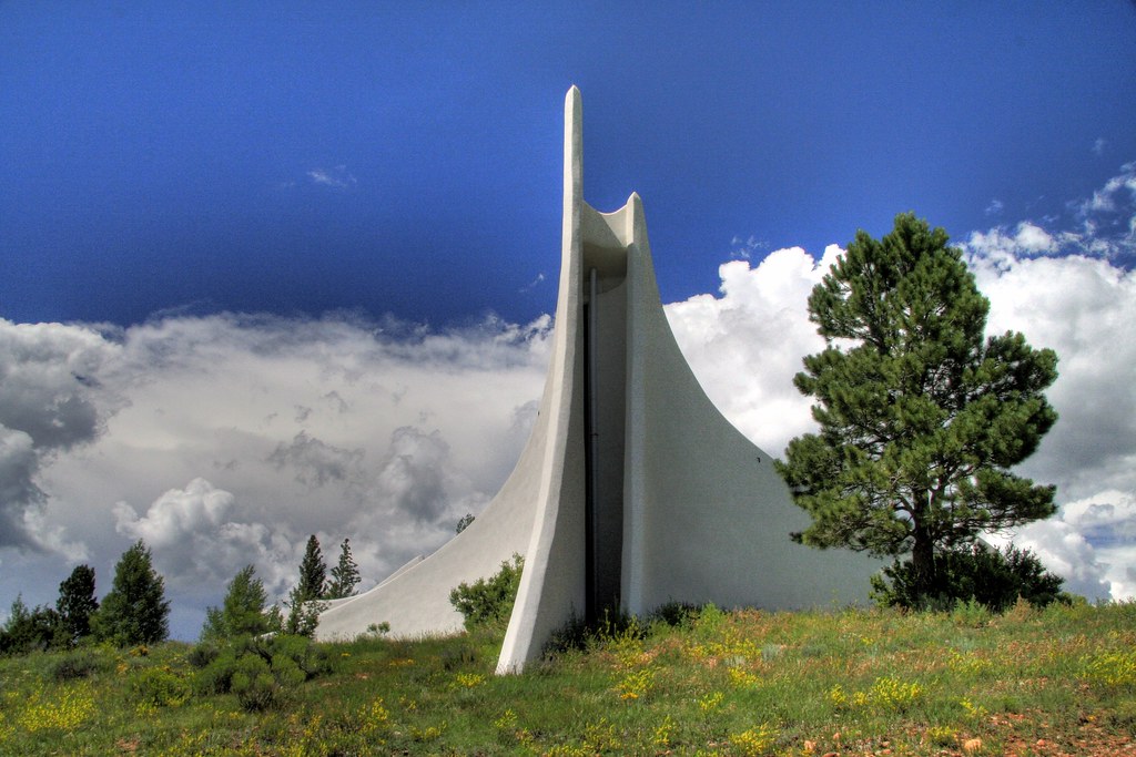
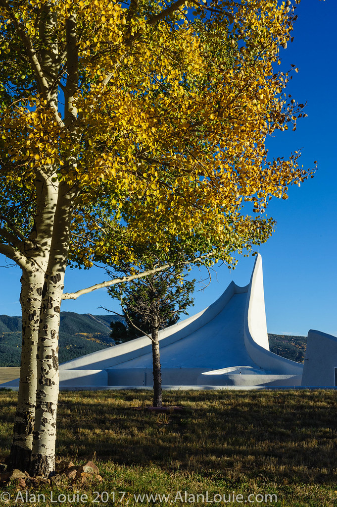
View of the Chapel
A View from the balcony
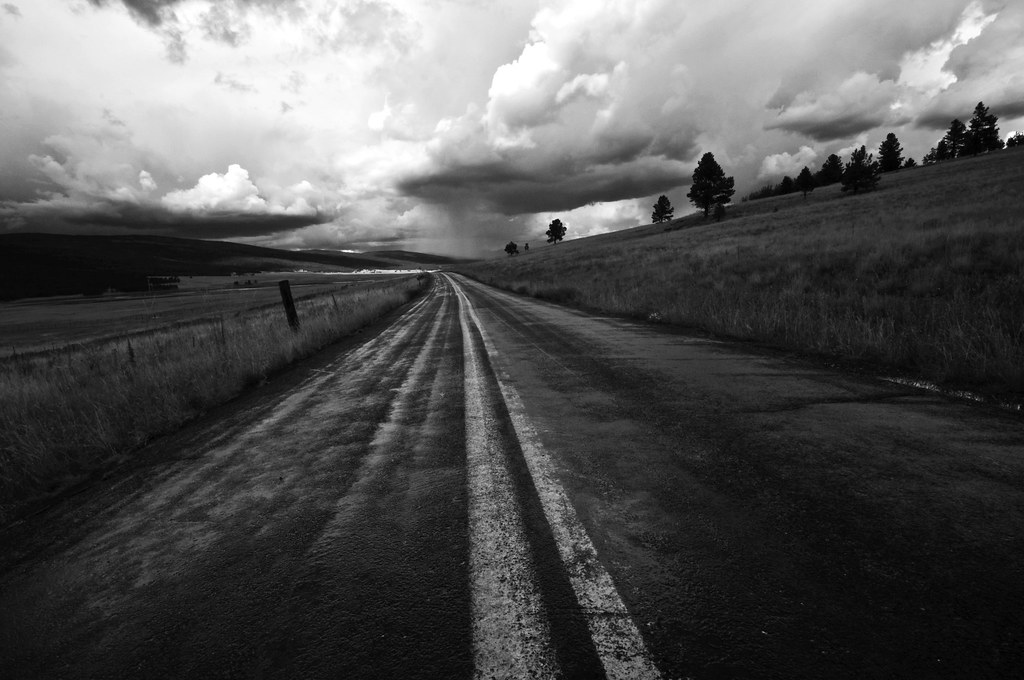
Highway to Black Lakes B&W
Road to Rain Black Lakes B&W

BlackLake Down Pour B&W
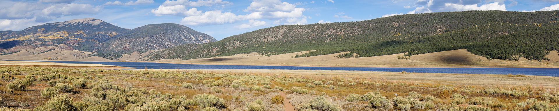
Panorama view from Black Mountain summit
Carson National Forest, New Mexico
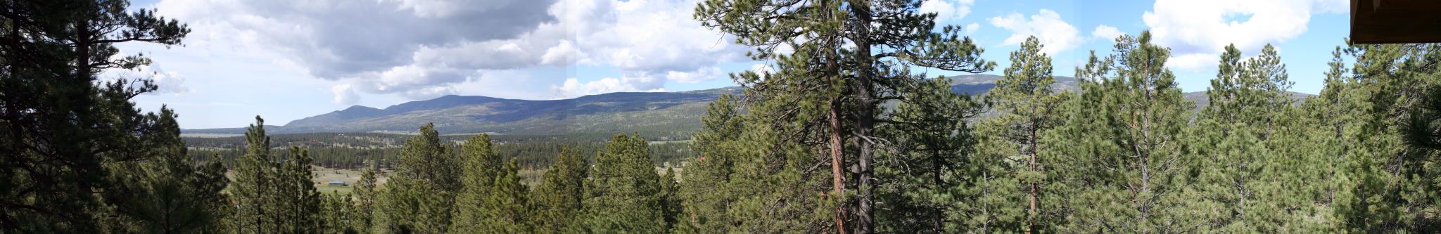
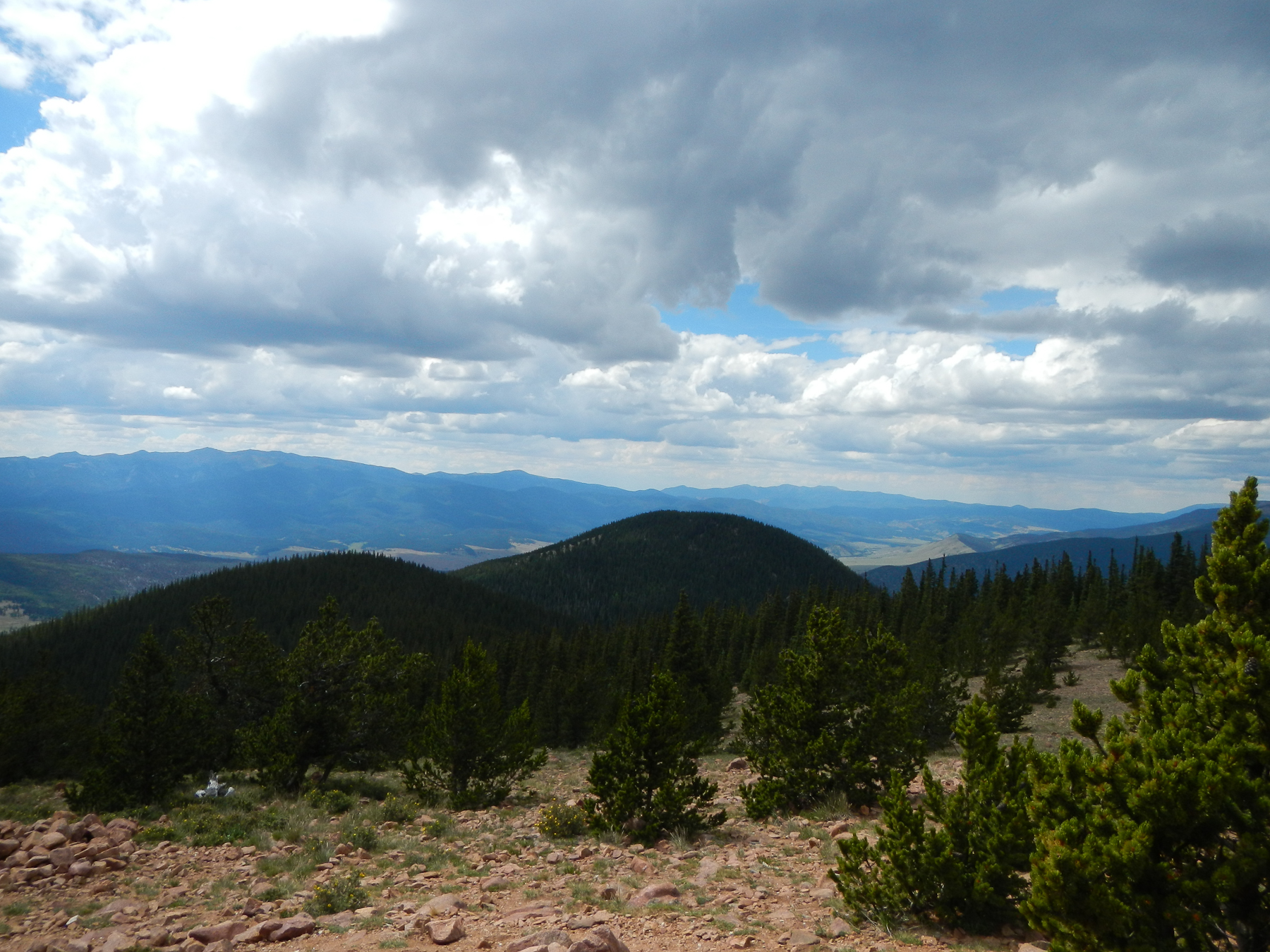
View from the Notch [PANO]

Enchanted Moon Campground at Valle Escondido entrance.

View from our deck
View from the lift

Elliot Barker is a great hiking and snow shoeing area.
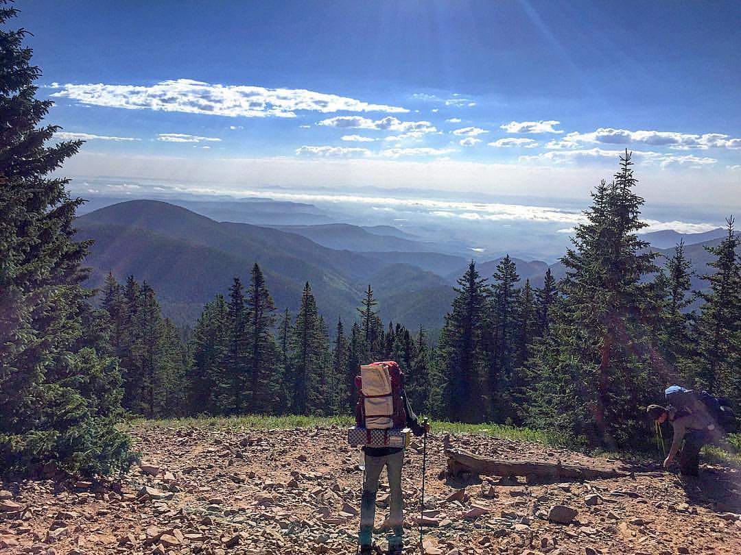
Another amazing view shot coming down from Mt. Phillips! I could have stayed and watched this view all day!
20111015 Taos 046.jpg
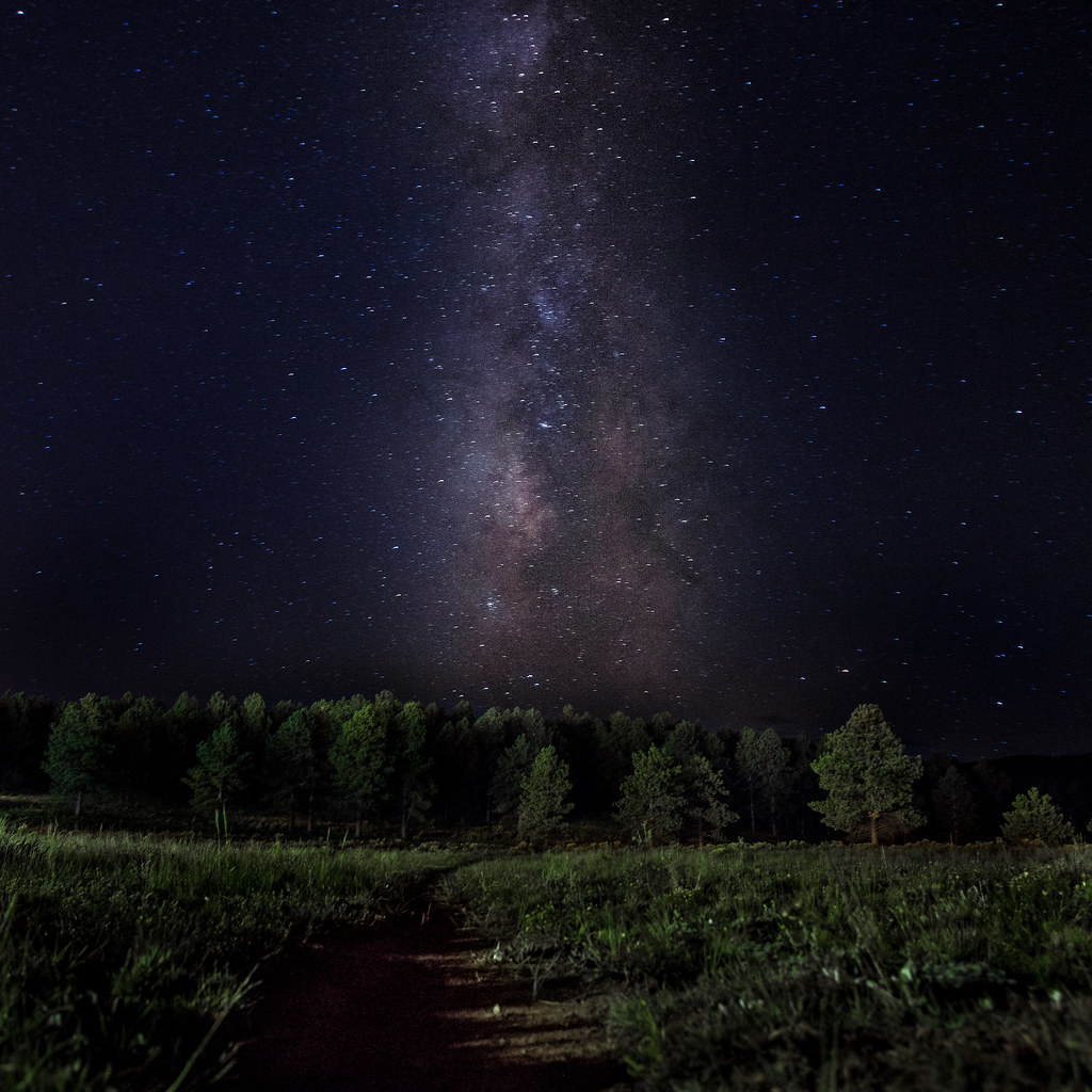
Path to the Stars

20111015 Taos 045.jpg
20111015 Taos 045.jpg
Several Days Later
1561 - Enchanted Circle
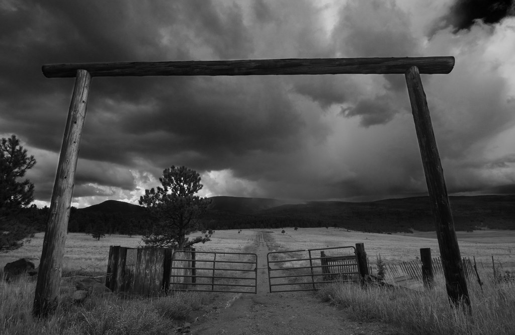
Storm Apache Springs

Angle Fire, NM
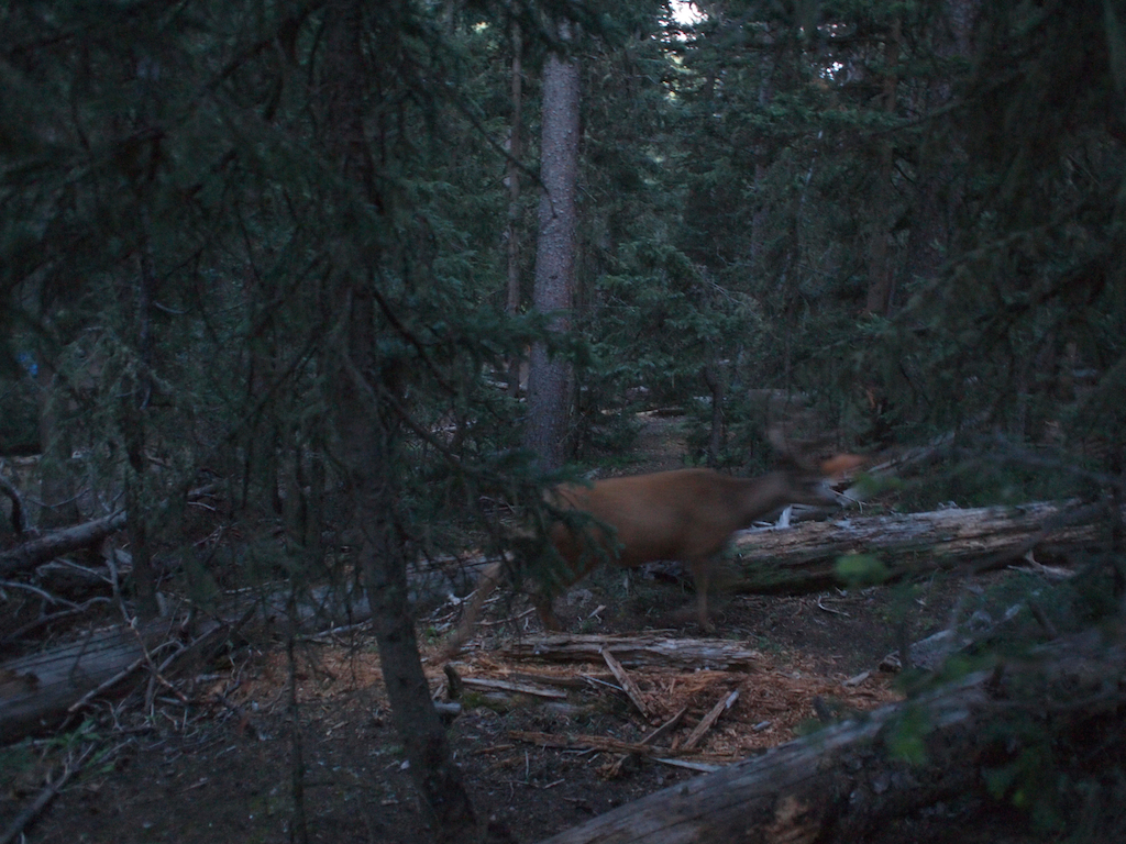
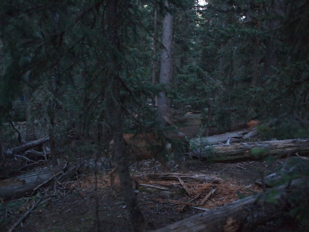
Philmont 2009 1282
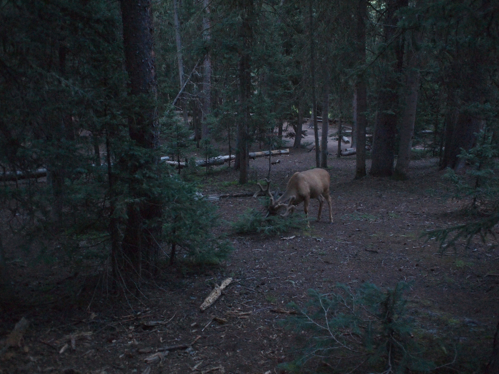
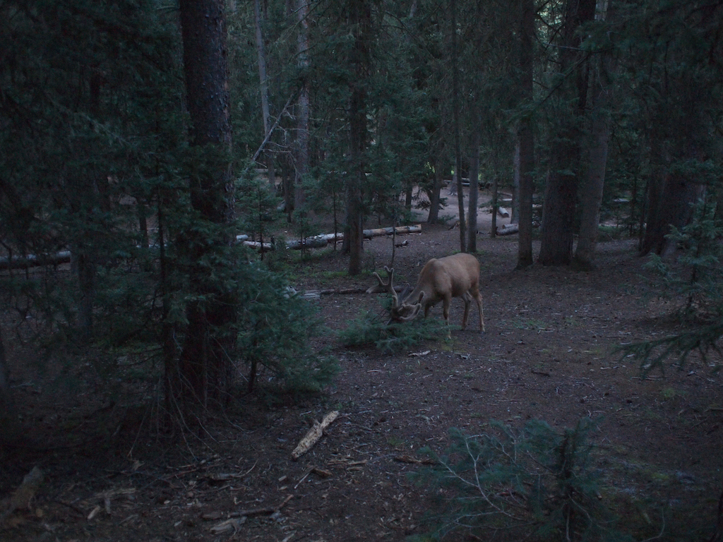
Philmont 2009 1288
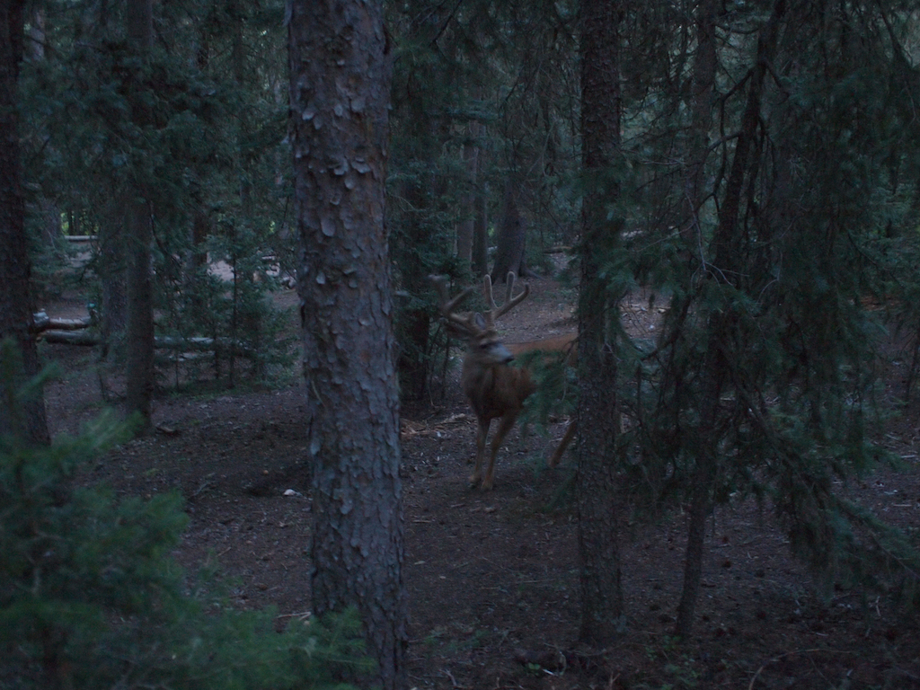
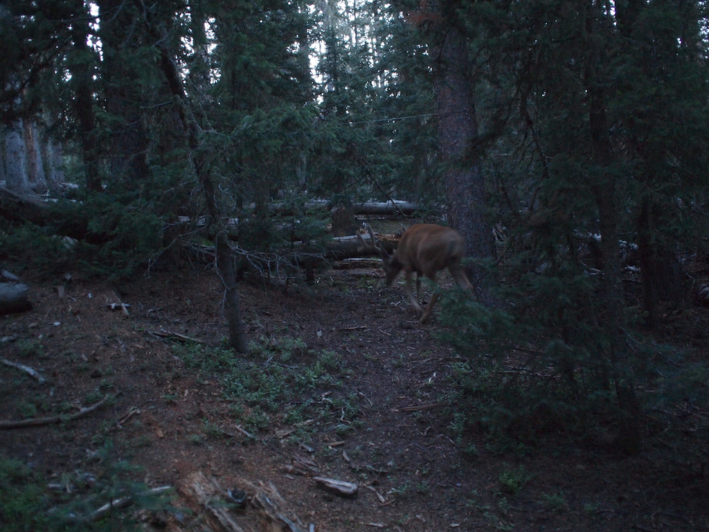
Philmont 2009 1268

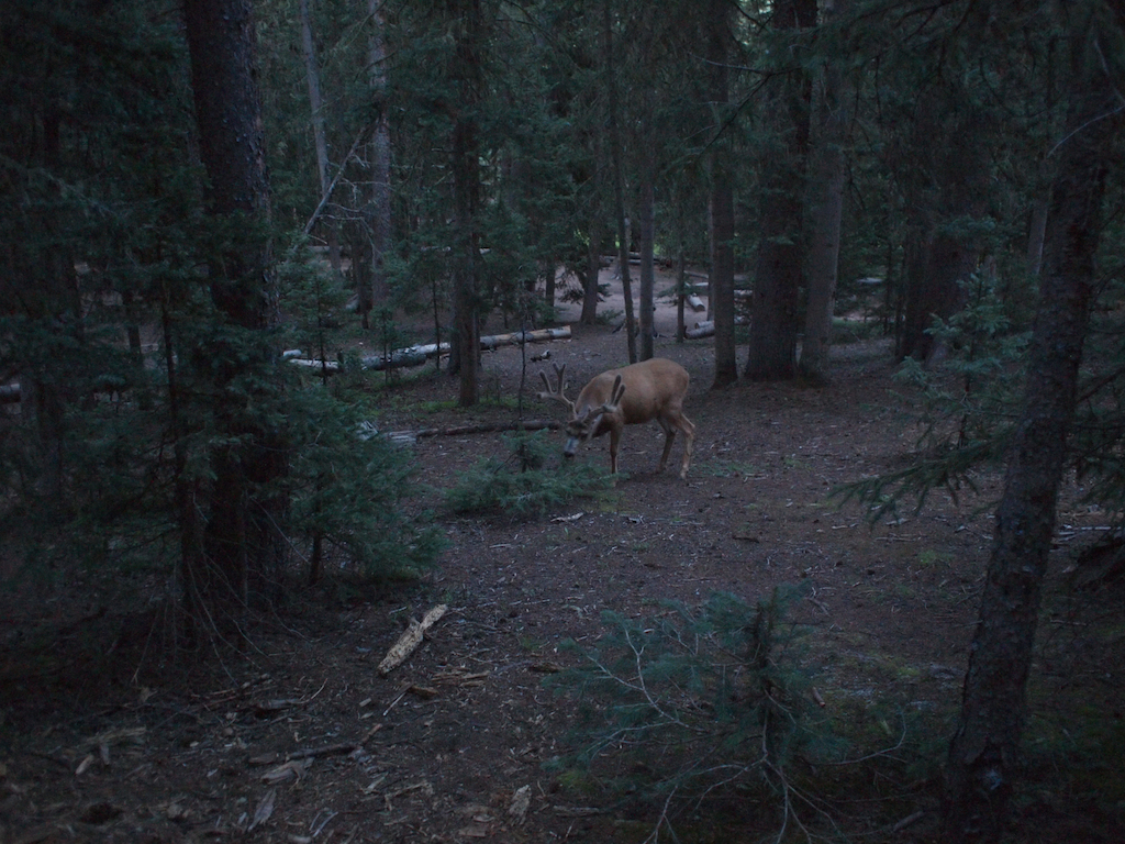
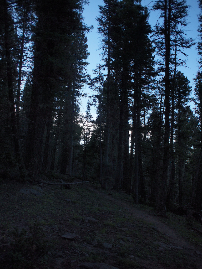
Philmont 2009 1270
Philmont 2009 1266
Philmont 2009 1267
Philmont 2009 1286

curve against landscape
Philmont 2009 1269
Philmont 2009 1283
Philmont 2009 1212
1562 - Enchanted Circle
Philmont-64
Topographic Map of Vista Del Sur, Angel Fire, NM, USA
Find elevation by address:

Places near Vista Del Sur, Angel Fire, NM, USA:
Cheerful Way
548 El Camino Real
Rainbow Overlook
Rainbow Overlook
Rainbow Overlook
Rainbow Overlook
Rainbow Overlook
Ute Valley Drive
17 Sunset Overlook
216 El Camino Real
Vail Overlook
Agua Fria Peak
Snowmass Road
Angel Fire Country Club
45 Vía Del Rey
13 Mountain Lake Way
11 Nicholas Cir
25 Spyglass Hill Rd
25 Spyglass Hill Rd
Black Lake
Recent Searches:
- Elevation of Felindre, Swansea SA5 7LU, UK
- Elevation of Leyte Industrial Development Estate, Isabel, Leyte, Philippines
- Elevation of W Granada St, Tampa, FL, USA
- Elevation of Pykes Down, Ivybridge PL21 0BY, UK
- Elevation of Jalan Senandin, Lutong, Miri, Sarawak, Malaysia
- Elevation of Bilohirs'k
- Elevation of 30 Oak Lawn Dr, Barkhamsted, CT, USA
- Elevation of Luther Road, Luther Rd, Auburn, CA, USA
- Elevation of Unnamed Road, Respublika Severnaya Osetiya — Alaniya, Russia
- Elevation of Verkhny Fiagdon, North Ossetia–Alania Republic, Russia