Elevation of Croydon Bush, New Zealand
Location: New Zealand > Southland >
Longitude: 168.908522
Latitude: -46.053379
Elevation: 97m / 318feet
Barometric Pressure: 100KPa
Elevation Map:
Satellite Map:
Related Photos:

Stand Out

Whisky Creek

Unsettled Weather

Waikaka Stream

The Tree

Up the hill again.

East Peak

Ferguson FE-35

Hokonui Hills

photo 15

GORE.jpg

Moa hill
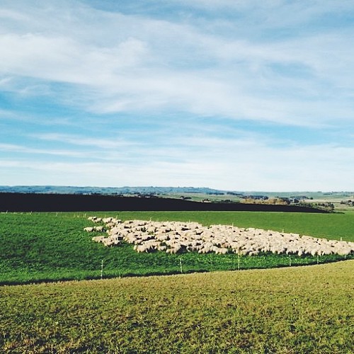
Shepherding this morning in the truck

Purple Flower

2019 02 05 2056a
Topographic Map of Croydon Bush, New Zealand
Find elevation by address:

Places near Croydon Bush, New Zealand:
76 Croydon Bush Road
Gore District
9 Denton St
Gore
81 Wentworth St
66 Wigan St
Mimihau
Wyndham
Rankleburn Road
Tapanui
9 Back Street
26 Bushyhill Street
4 Mill St
Rankleburn Road
Rankleburn
Clinton
State Highway 1
Ettrick
Millers Flat Holiday Park
Millers Flat
Recent Searches:
- Elevation of Shibuya Scramble Crossing, 21 Udagawacho, Shibuya City, Tokyo -, Japan
- Elevation of Jadagoniai, Kaunas District Municipality, Lithuania
- Elevation of Pagonija rock, Kranto 7-oji g. 8"N, Kaunas, Lithuania
- Elevation of Co Rd 87, Jamestown, CO, USA
- Elevation of Tenjo, Cundinamarca, Colombia
- Elevation of Côte-des-Neiges, Montreal, QC H4A 3J6, Canada
- Elevation of Bobcat Dr, Helena, MT, USA
- Elevation of Zu den Ihlowbergen, Althüttendorf, Germany
- Elevation of Badaber, Peshawar, Khyber Pakhtunkhwa, Pakistan
- Elevation of SE Heron Loop, Lincoln City, OR, USA