Elevation of 76 Croydon Bush Road, Croydon Bush, New Zealand
Location: New Zealand > Southland > Croydon Bush >
Longitude: 168.888756
Latitude: -46.069926
Elevation: 184m / 604feet
Barometric Pressure: 99KPa
Elevation Map:
Satellite Map:
Related Photos:

Mataura

Stand Out

Whisky Creek

Unsettled Weather

Waikaka Stream

The Tree

Up the hill again.

East Peak

Ferguson FE-35

Hokonui Hills

photo 15

GORE.jpg

Moa hill
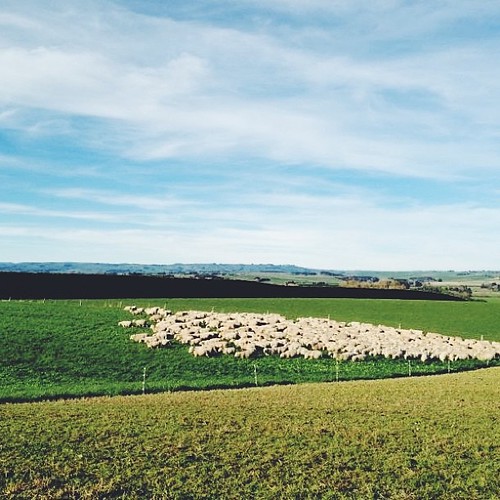
Shepherding this morning in the truck

Purple Flower

2019 02 05 2056a
Topographic Map of 76 Croydon Bush Road, Croydon Bush, New Zealand
Find elevation by address:

Places near 76 Croydon Bush Road, Croydon Bush, New Zealand:
Croydon Bush
Gore District
9 Denton St
Gore
66 Wigan St
81 Wentworth St
Mimihau
Wyndham
Rankleburn Road
Tapanui
9 Back Street
26 Bushyhill Street
4 Mill St
Rankleburn Road
Rankleburn
Clinton
State Highway 1
Ettrick
Millers Flat Holiday Park
Millers Flat
Recent Searches:
- Elevation of Jadagoniai, Kaunas District Municipality, Lithuania
- Elevation of Pagonija rock, Kranto 7-oji g. 8"N, Kaunas, Lithuania
- Elevation of Co Rd 87, Jamestown, CO, USA
- Elevation of Tenjo, Cundinamarca, Colombia
- Elevation of Côte-des-Neiges, Montreal, QC H4A 3J6, Canada
- Elevation of Bobcat Dr, Helena, MT, USA
- Elevation of Zu den Ihlowbergen, Althüttendorf, Germany
- Elevation of Badaber, Peshawar, Khyber Pakhtunkhwa, Pakistan
- Elevation of SE Heron Loop, Lincoln City, OR, USA
- Elevation of Slanický ostrov, 01 Námestovo, Slovakia