Elevation of Rankleburn Road, Rankleburn Rd, Conical Hill, New Zealand
Location: New Zealand > Otago >
Longitude: 169.268542
Latitude: -46.046895
Elevation: 244m / 801feet
Barometric Pressure: 98KPa
Elevation Map:
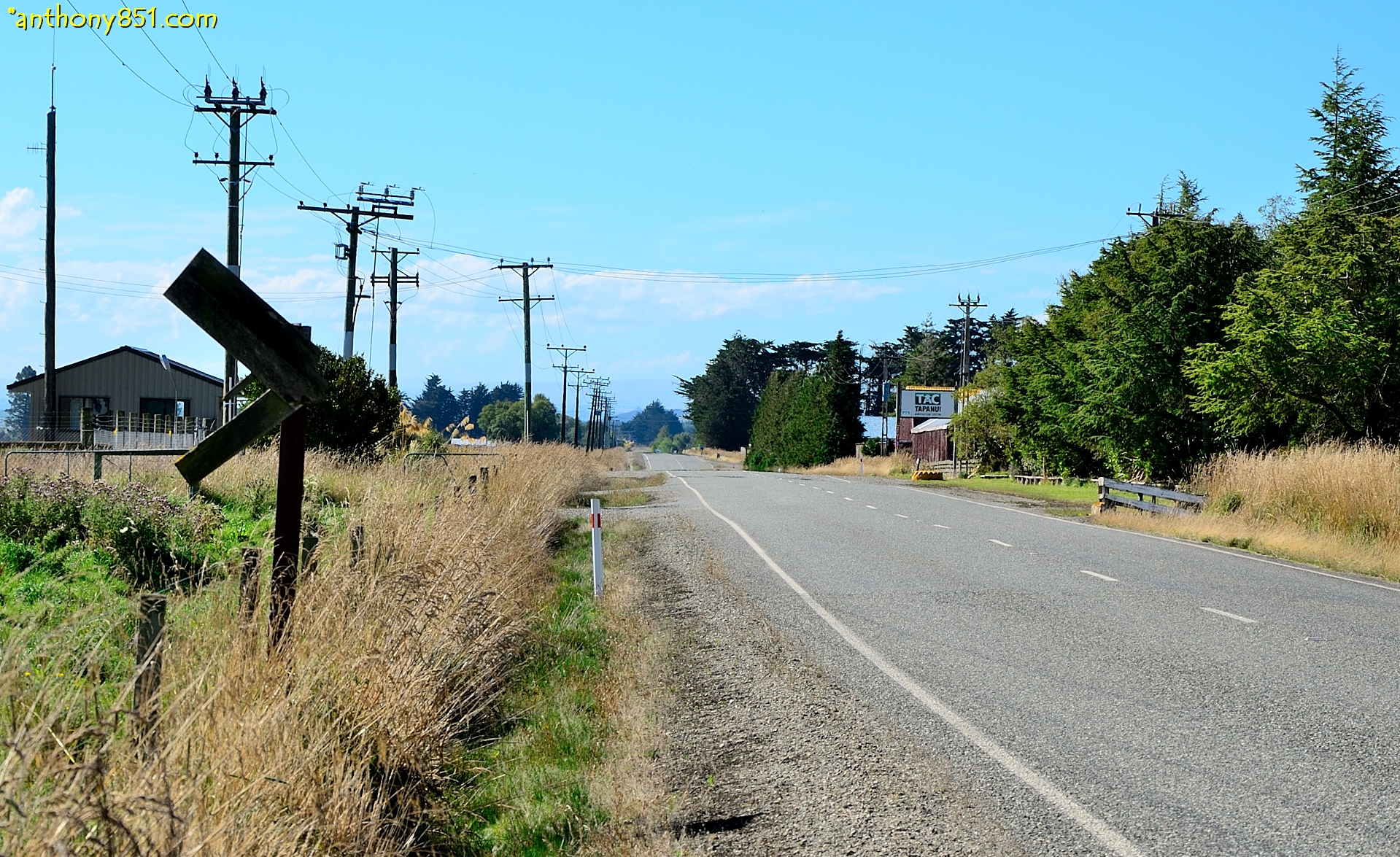
Satellite Map:
Related Photos:

Tree and cloud
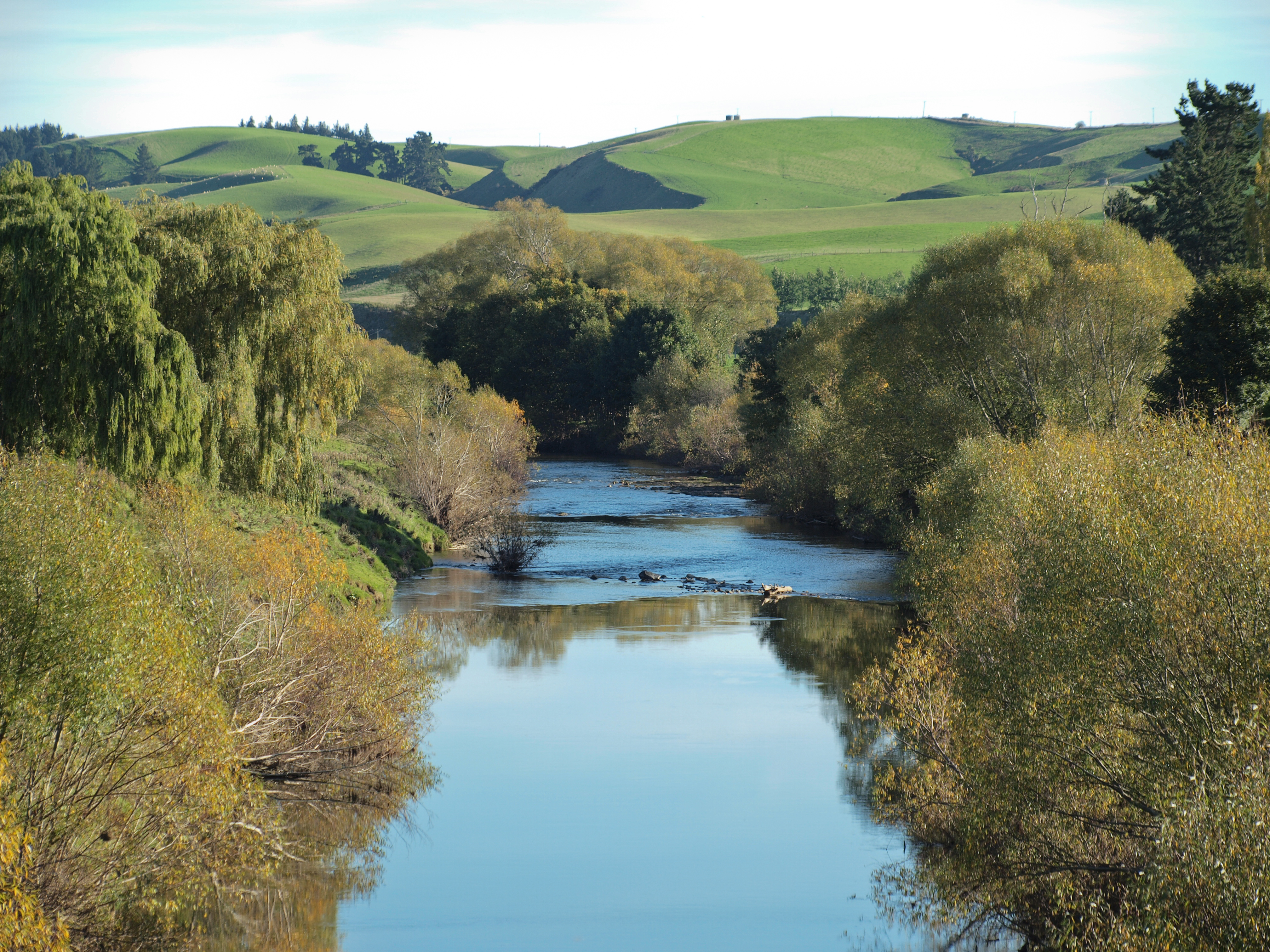
Pomahaka River

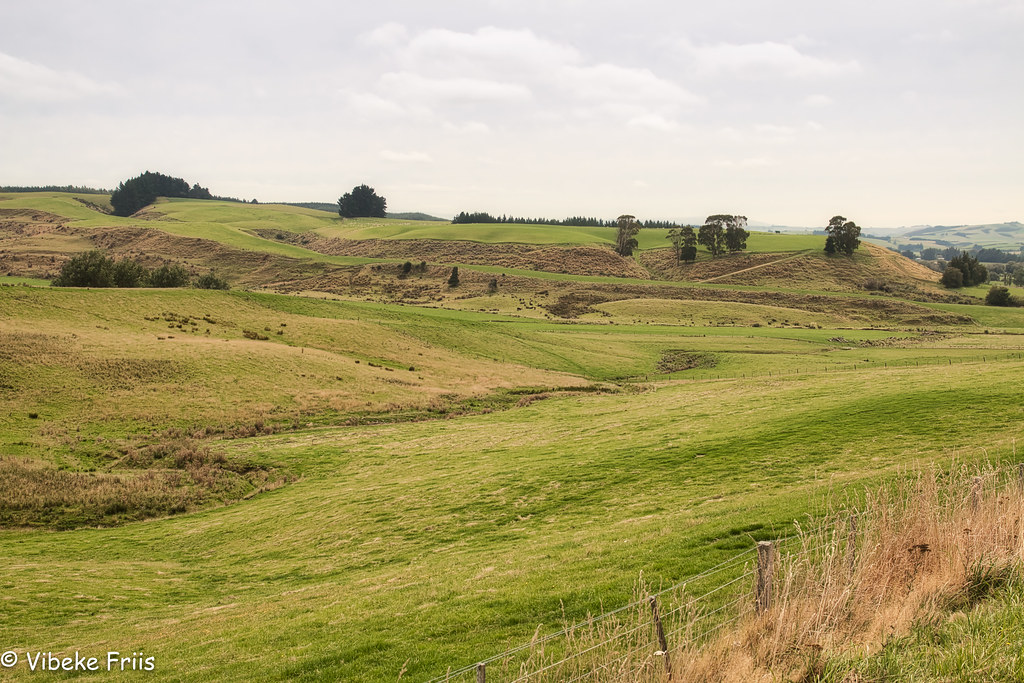
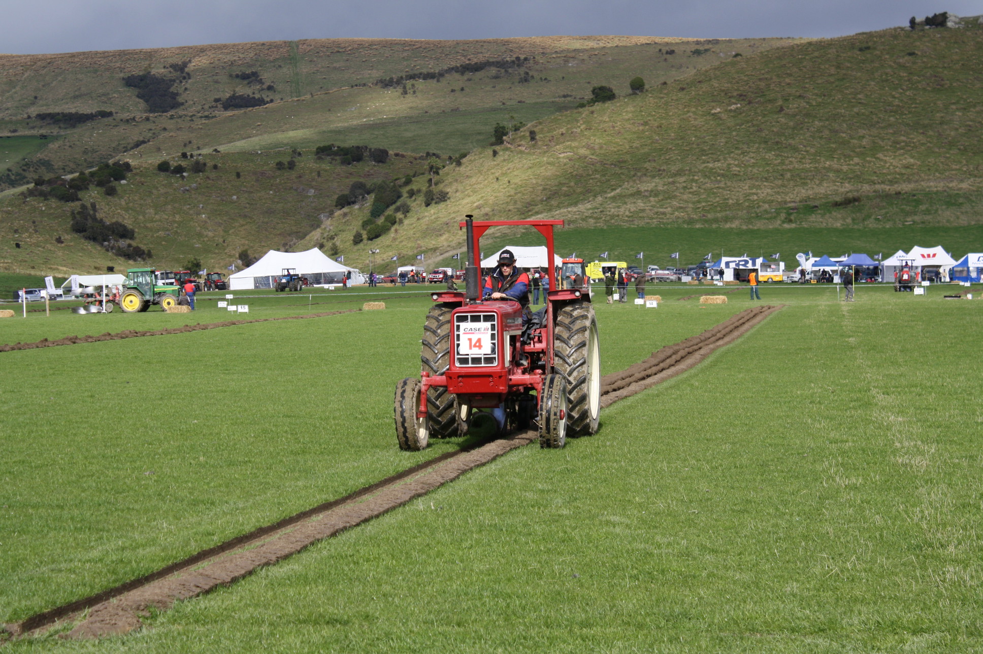
Sculpting the Landscape
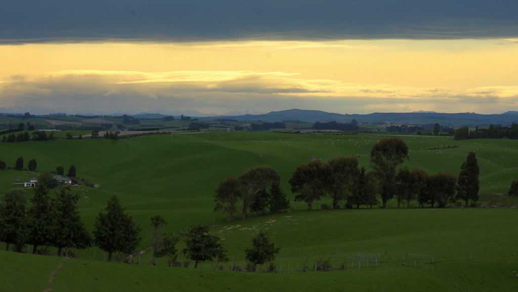
southland sunset

Waikoikoi Creek
180227 133549
David-Brown 990
International 474
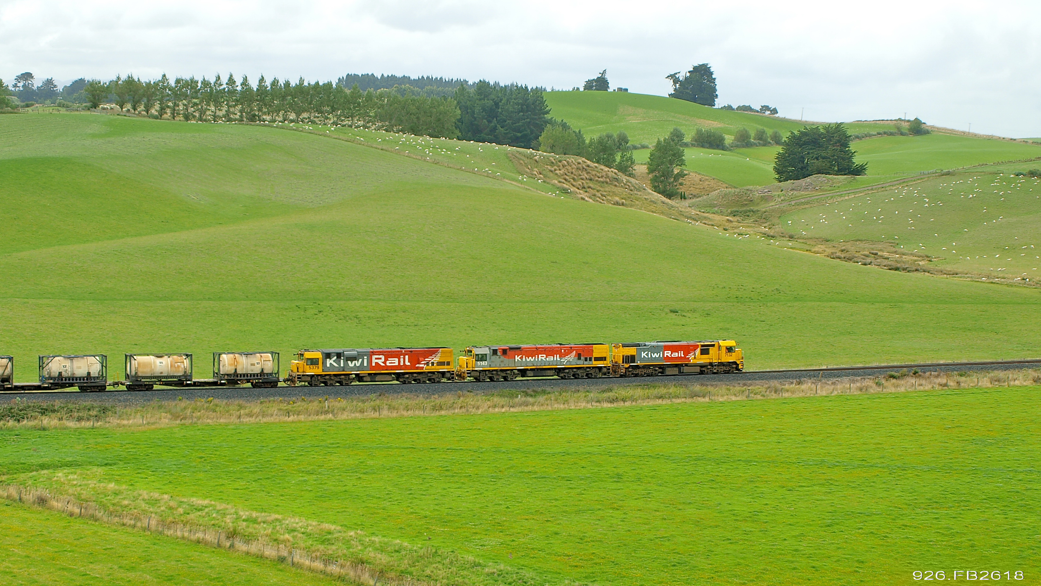
926 racing to the Arthurton Summit
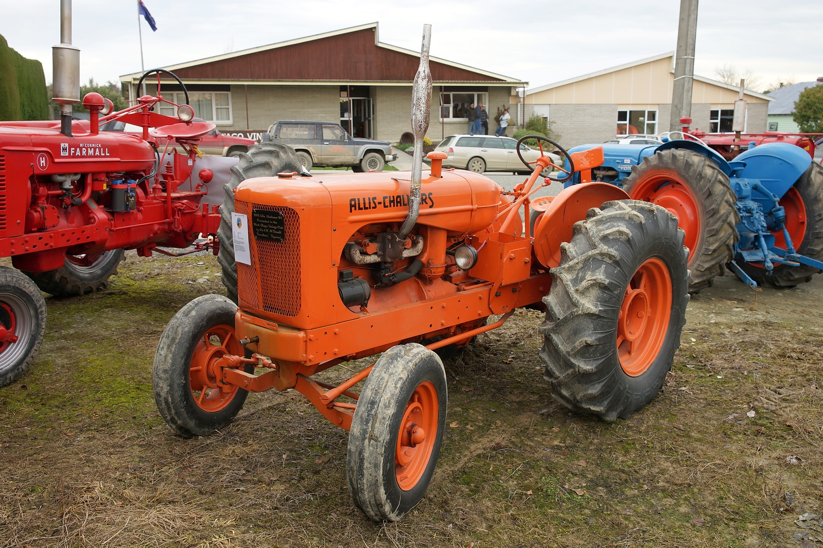
1943 Allis Chalmers WF Styled Tractor.
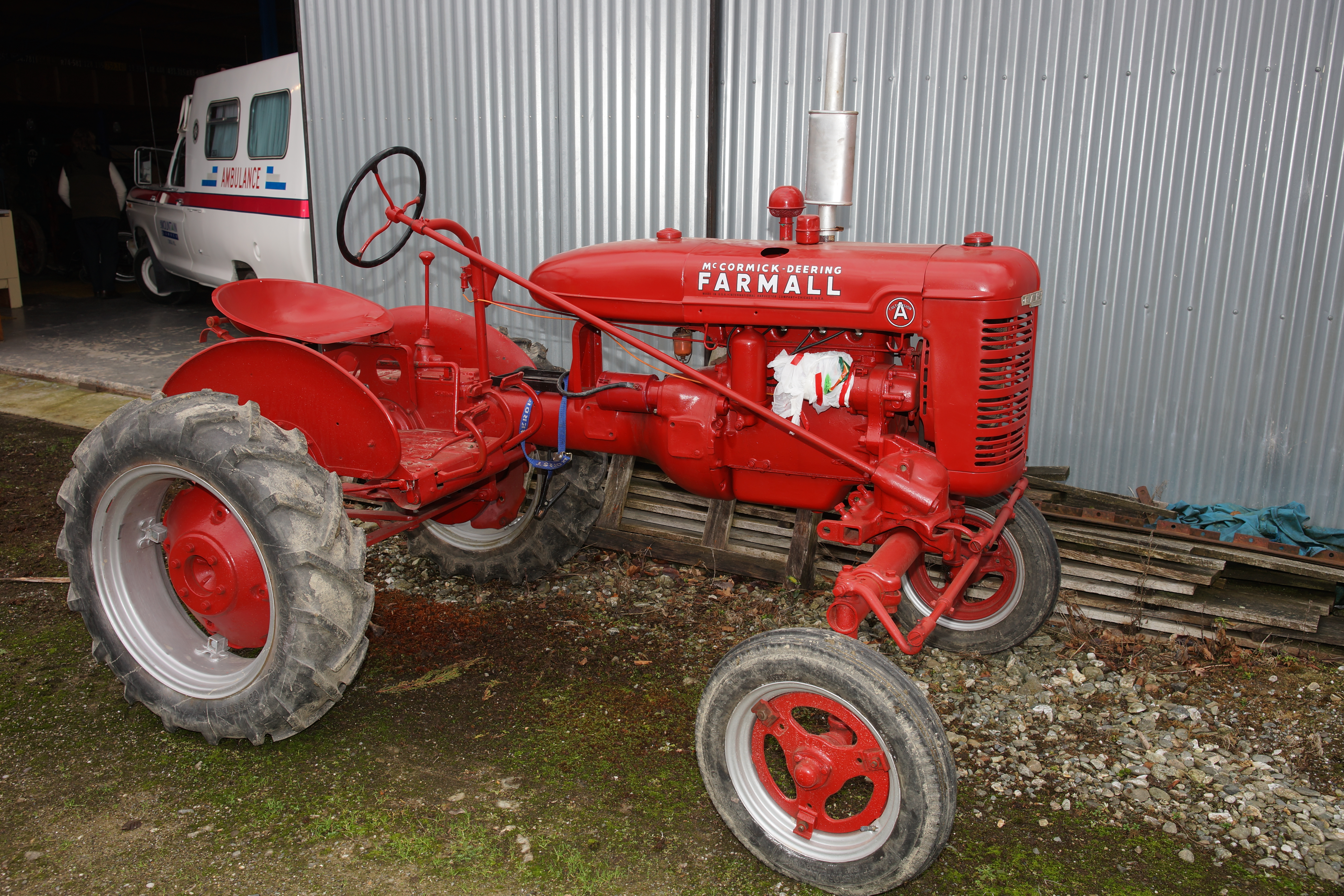
McCormick Deering Farmall A Tractor.

1945 Massey Harris Senior Tractor.
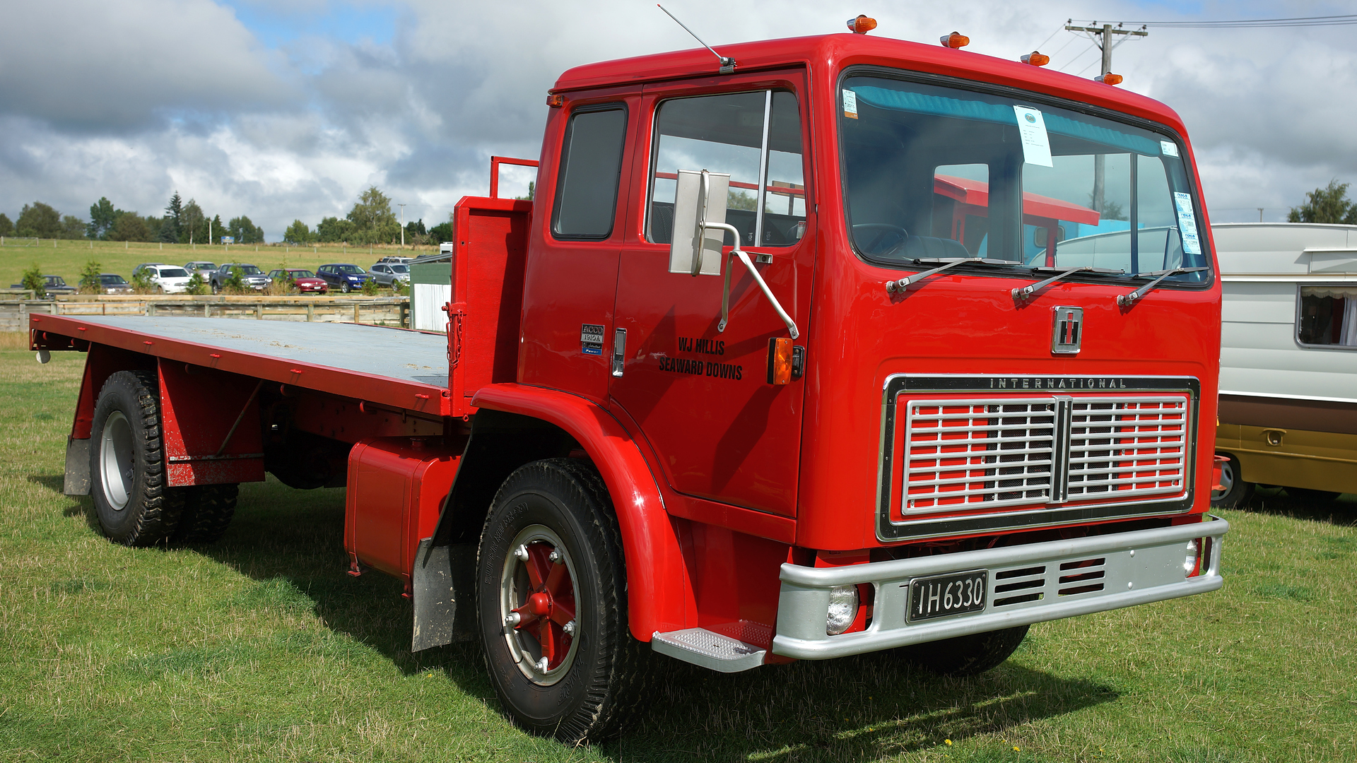
1976 International ACCO1910A
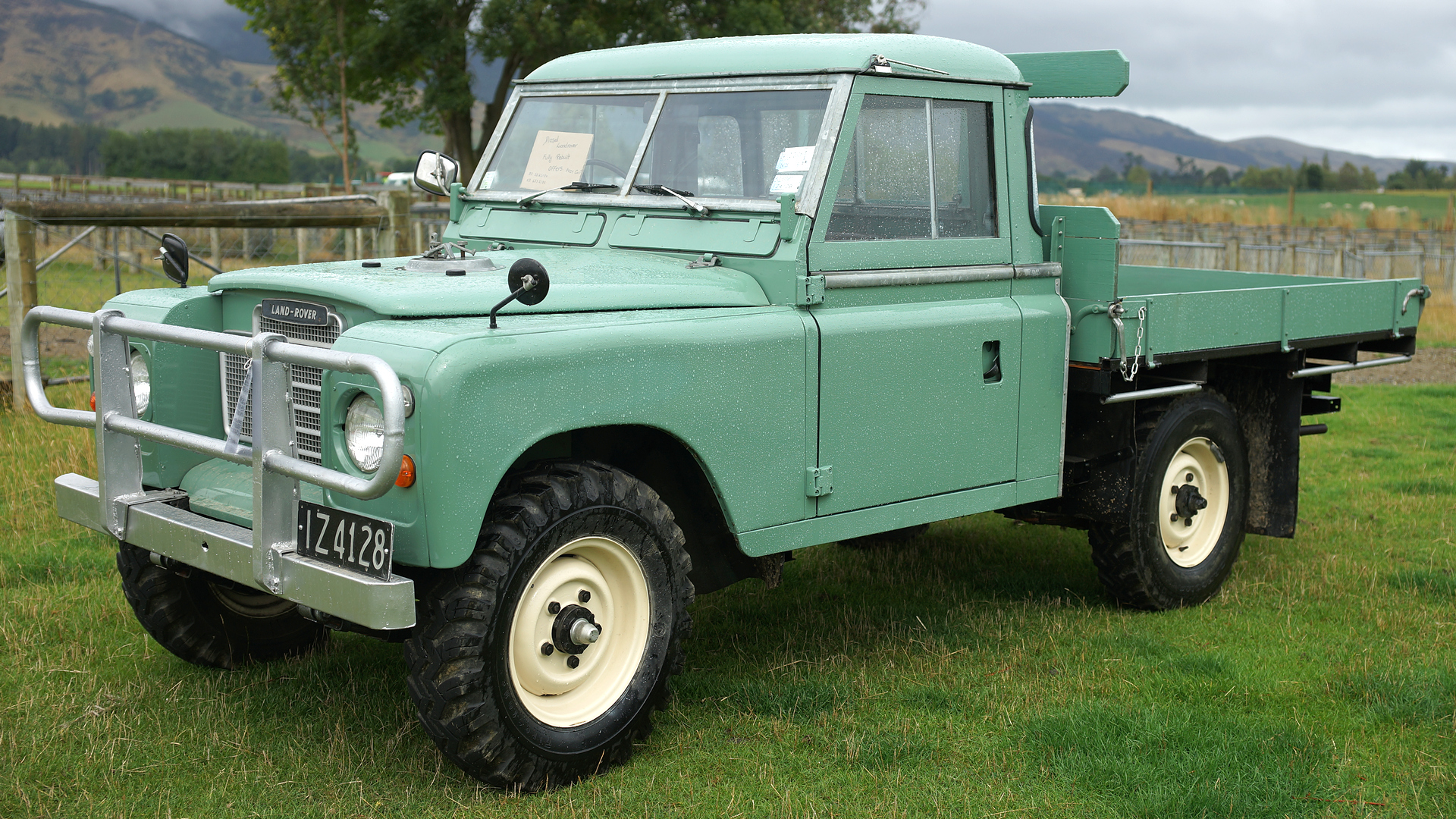
1978 Land Rover 109.
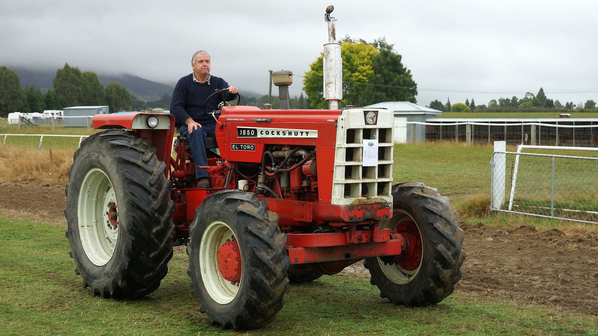
1965 Cockshutt 1650 tractor.

1971 Minneapolis Moline G750 tractor.

1943 Allis Chalmers WF Styled Tractor..
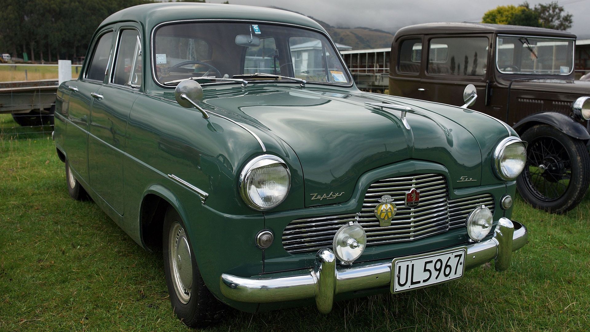
1953 Ford Zephyr Classic Car.
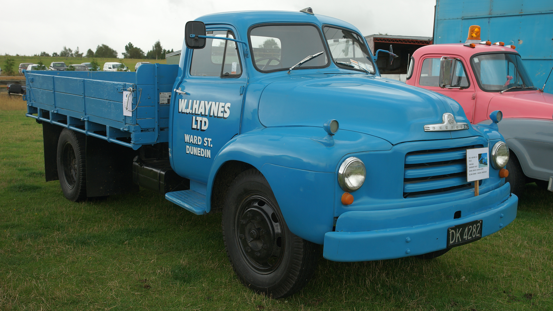
1955 Bedford A3 Truck..
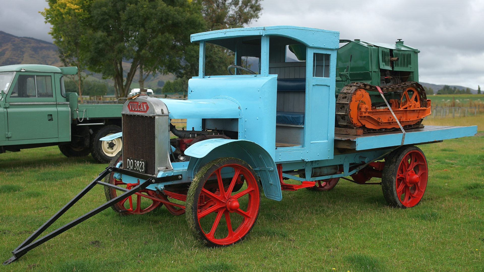
1925 Vulcan Truck.
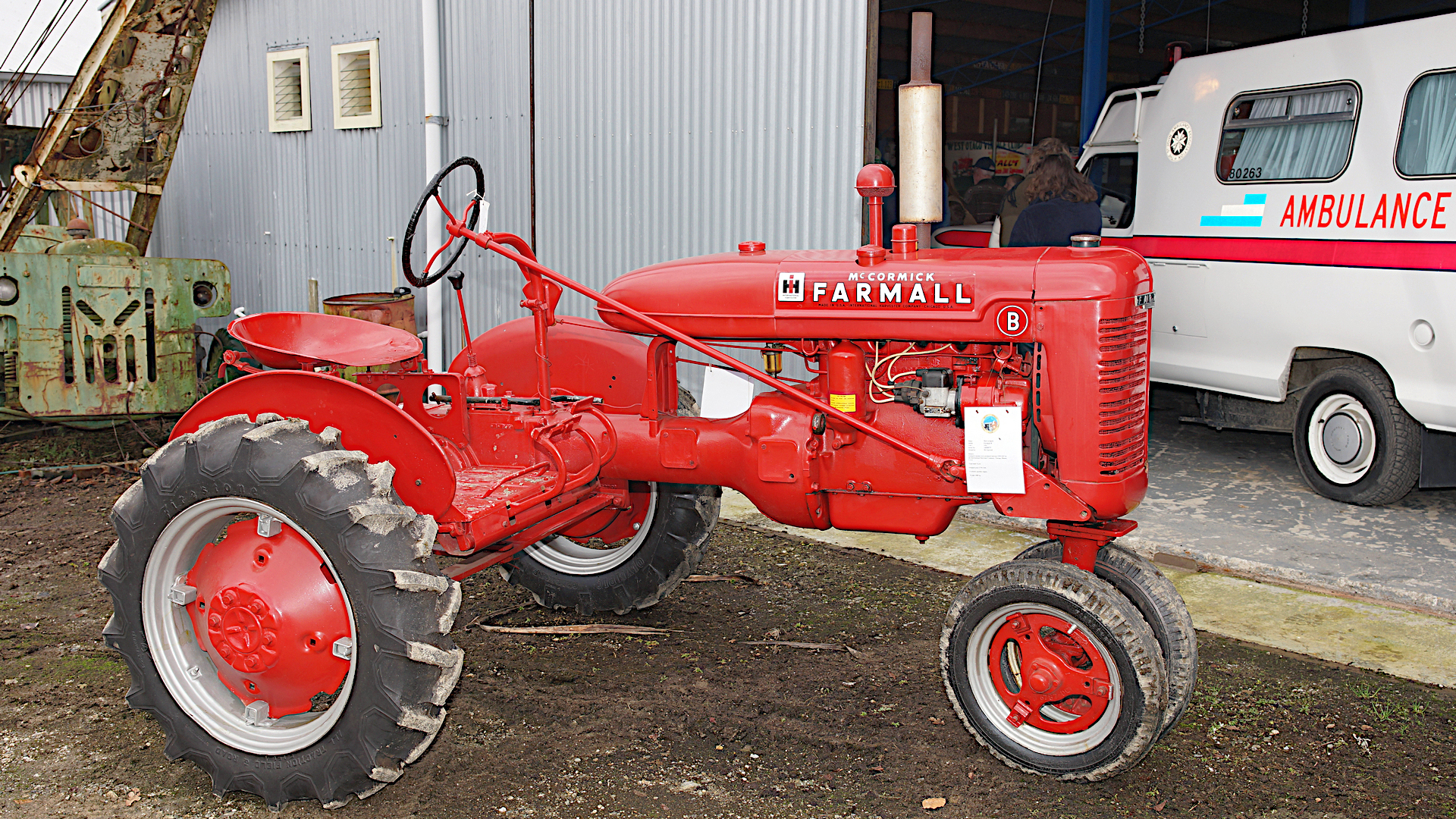
1941 McCormick Farmall B Tractor.
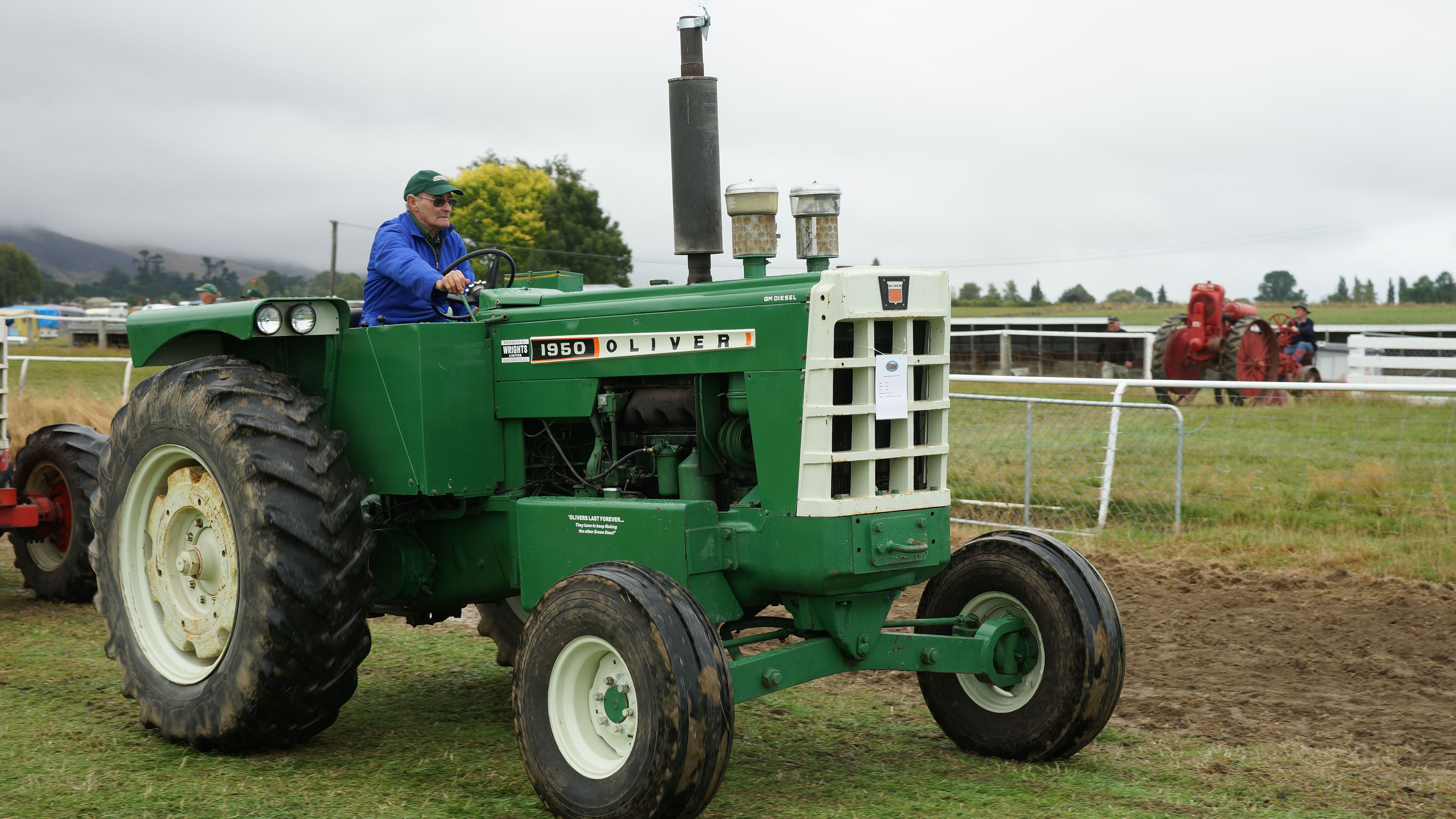
1964 Oliver-1950 Tractor.
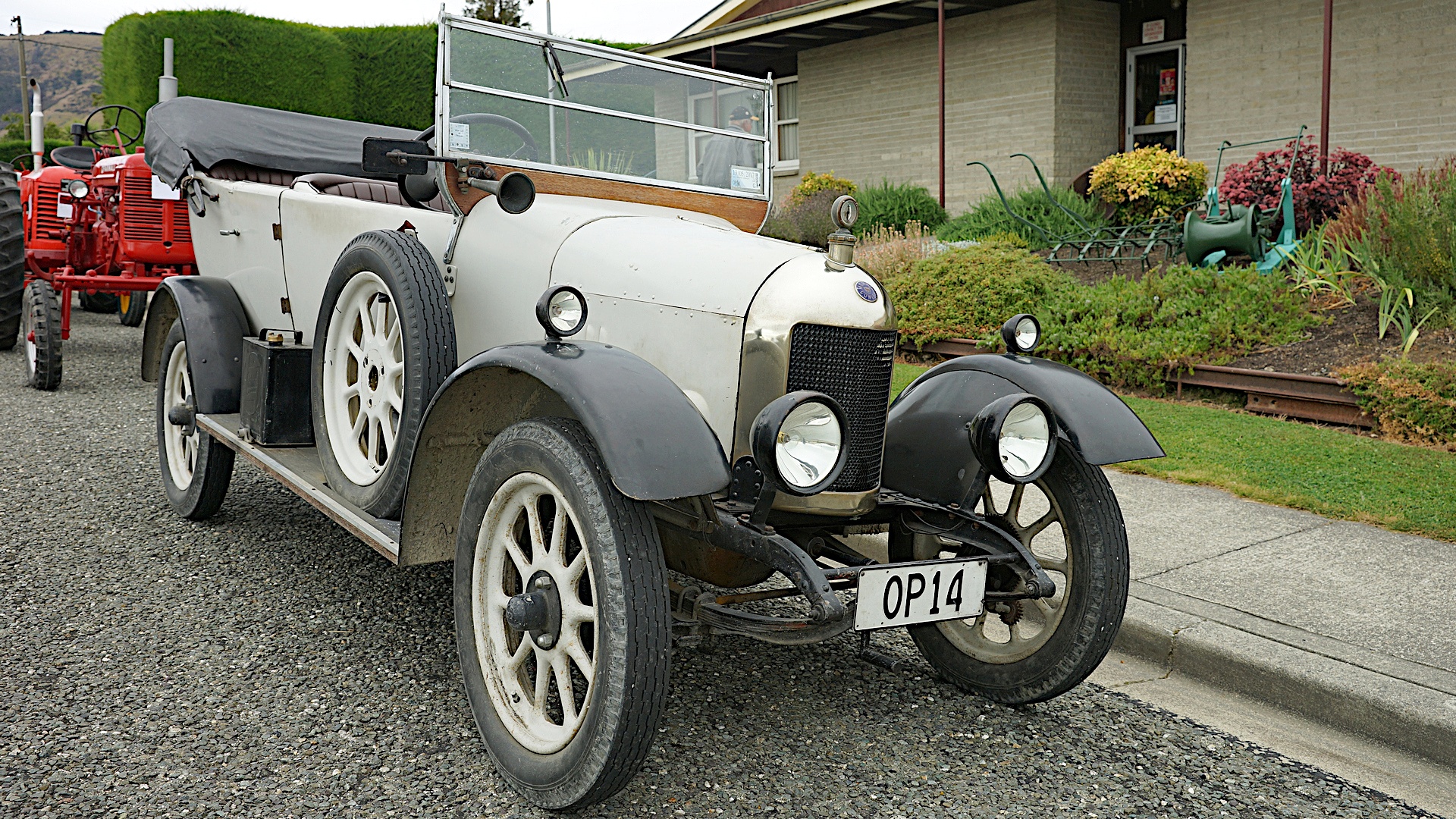
1924 Morris Cowley

1951 Karrier S 15 Truck.
Growing Old With Character.

1920 Moline Universal tractor.
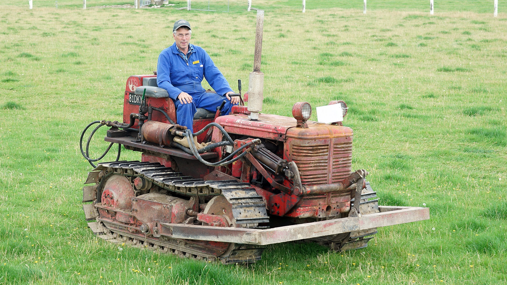
BTD-6 International Crawler.
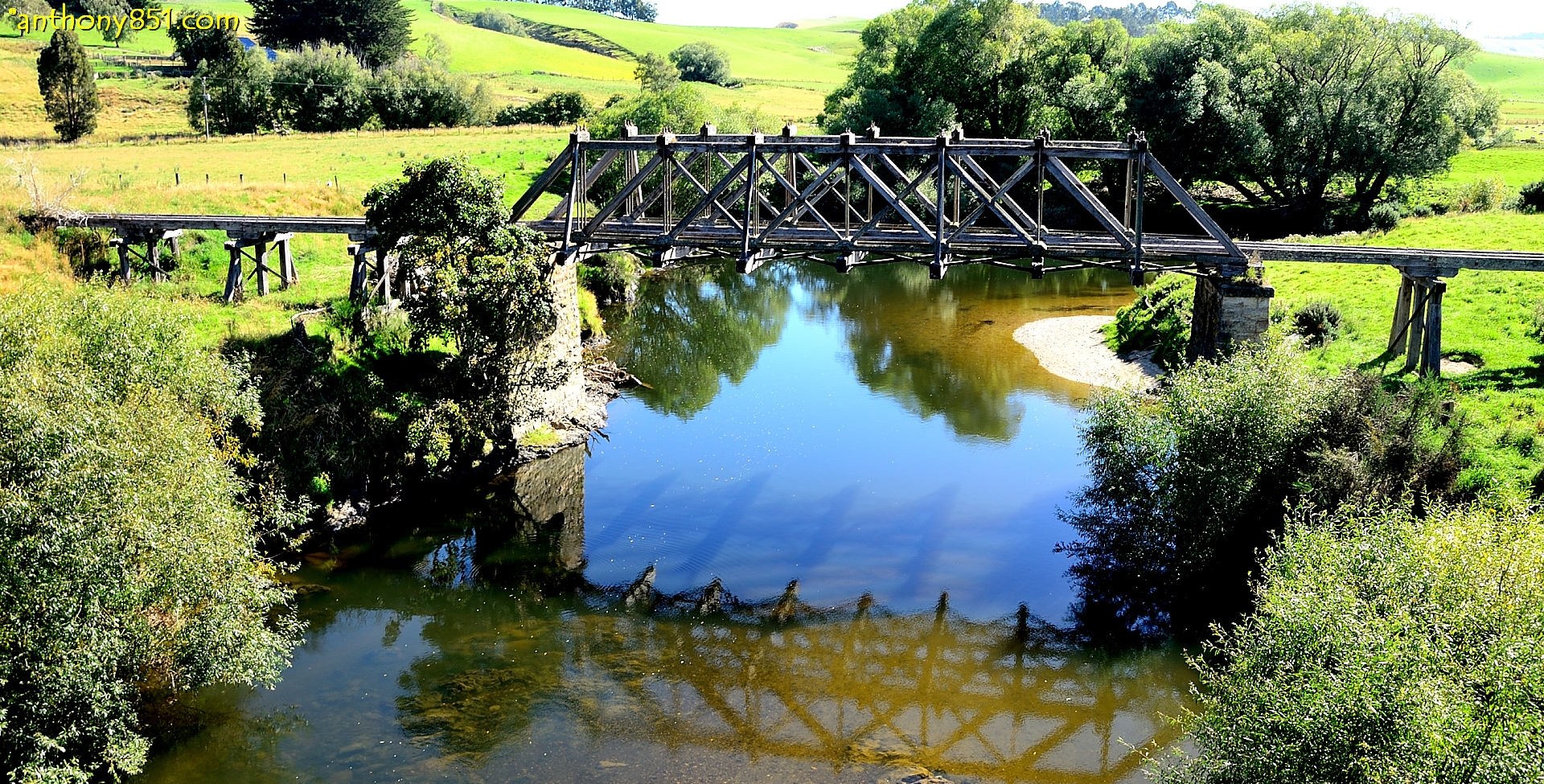
Pomahaka Reflections.
The only sign that there was a railway.
Topographic Map of Rankleburn Road, Rankleburn Rd, Conical Hill, New Zealand
Find elevation by address:

Places near Rankleburn Road, Rankleburn Rd, Conical Hill, New Zealand:
Rankleburn Road
Rankleburn
4 Mill St
9 Back Street
26 Bushyhill Street
Tapanui
State Highway 1
Clinton
81 Wentworth St
Gore
9 Denton St
66 Wigan St
Gore District
Croydon Bush
Clutha District
76 Croydon Bush Road
Millers Flat
Millers Flat Holiday Park
Ettrick
1223 Hunt Rd
Recent Searches:
- Elevation of Pykes Down, Ivybridge PL21 0BY, UK
- Elevation of Jalan Senandin, Lutong, Miri, Sarawak, Malaysia
- Elevation of Bilohirs'k
- Elevation of 30 Oak Lawn Dr, Barkhamsted, CT, USA
- Elevation of Luther Road, Luther Rd, Auburn, CA, USA
- Elevation of Unnamed Road, Respublika Severnaya Osetiya — Alaniya, Russia
- Elevation of Verkhny Fiagdon, North Ossetia–Alania Republic, Russia
- Elevation of F. Viola Hiway, San Rafael, Bulacan, Philippines
- Elevation of Herbage Dr, Gulfport, MS, USA
- Elevation of Lilac Cir, Haldimand, ON N3W 2G9, Canada