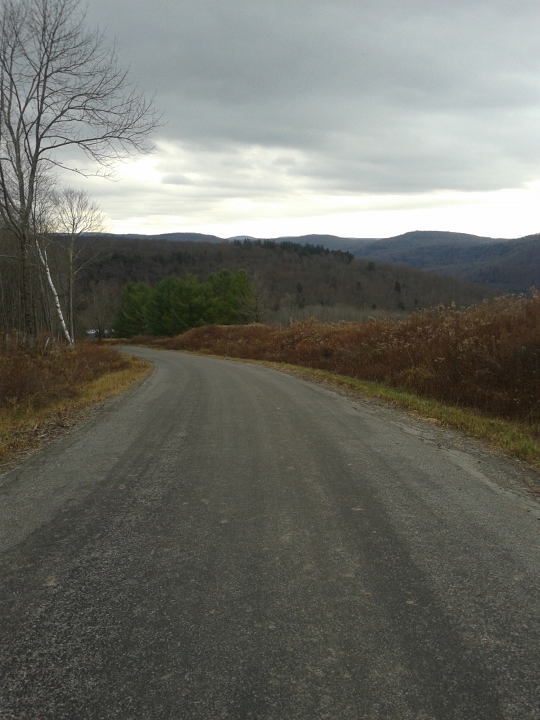
Elevation of Crowley Rd, Roscoe, NY, USA
Location: United States > New York > Sullivan County > Fremont >
Longitude: -74.981968
Latitude: 41.893963
Elevation: 596m / 1955feet
Barometric Pressure: 94KPa
Elevation Map:
Satellite Map:
Related Photos:
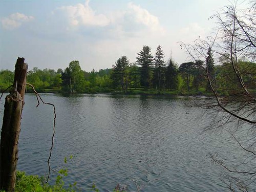
Lake view
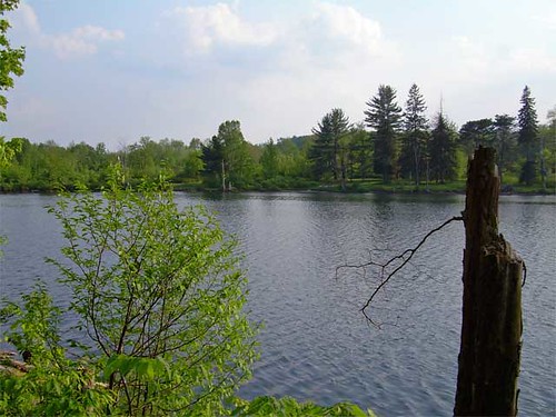
Lake view
HV-1412.jpg

Pretty Morning View

Inside Livingston Manor Covered Bridge aka Van Tran Flat

Livingston Manor Covered Bridge AKA Van Tran Flat Bridge

Pretty Evening View
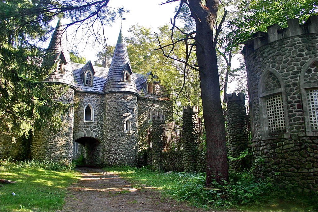
Dundas Castle

Pretty Evening View

Pretty Evening View

Pretty Evening View
Beaver Kill Views

Beaver Kill Views

Worm's eye view
View Off Morton Hill

Pretty Morning View
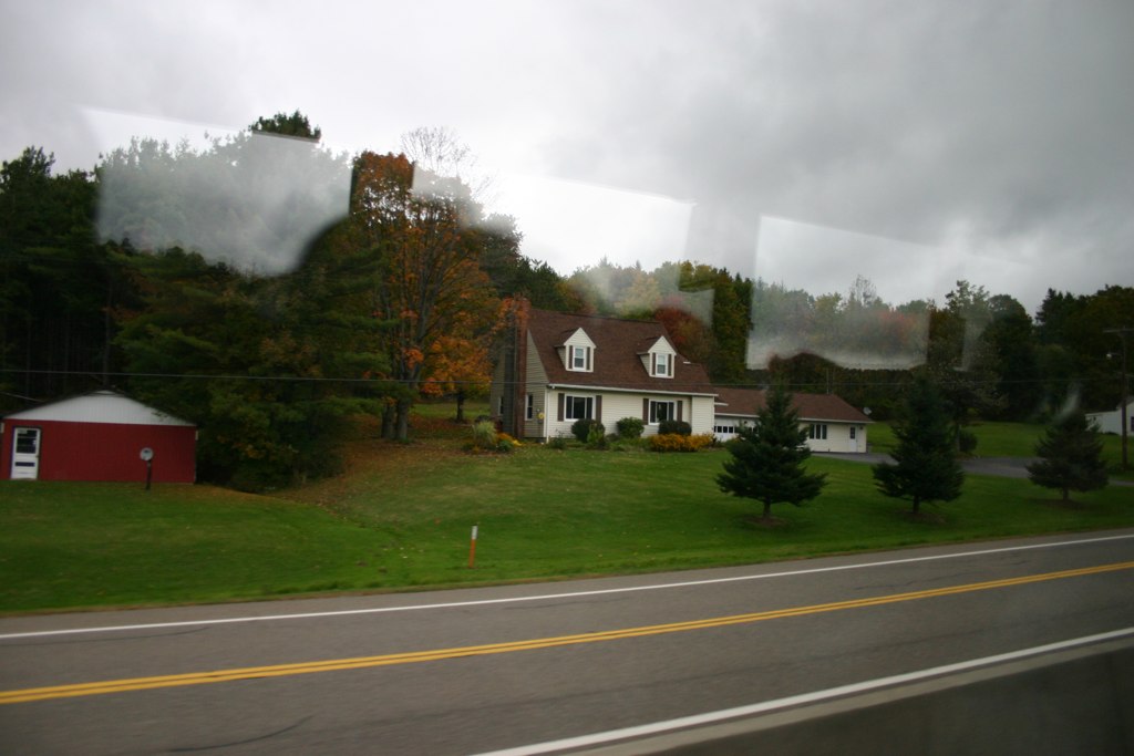
Country View, state of NY

up the down staircase
Country View, state of NY

Pretty Evening View

Pretty Morning View

The Old Stone Arch Bridge
IMG-20110723-00555.jpg

The Old Stone Arch Bridge
Laundry Brook

Evening Sky Over The Manor
_MG_0123_HDR.jpg

Lake Shandelee
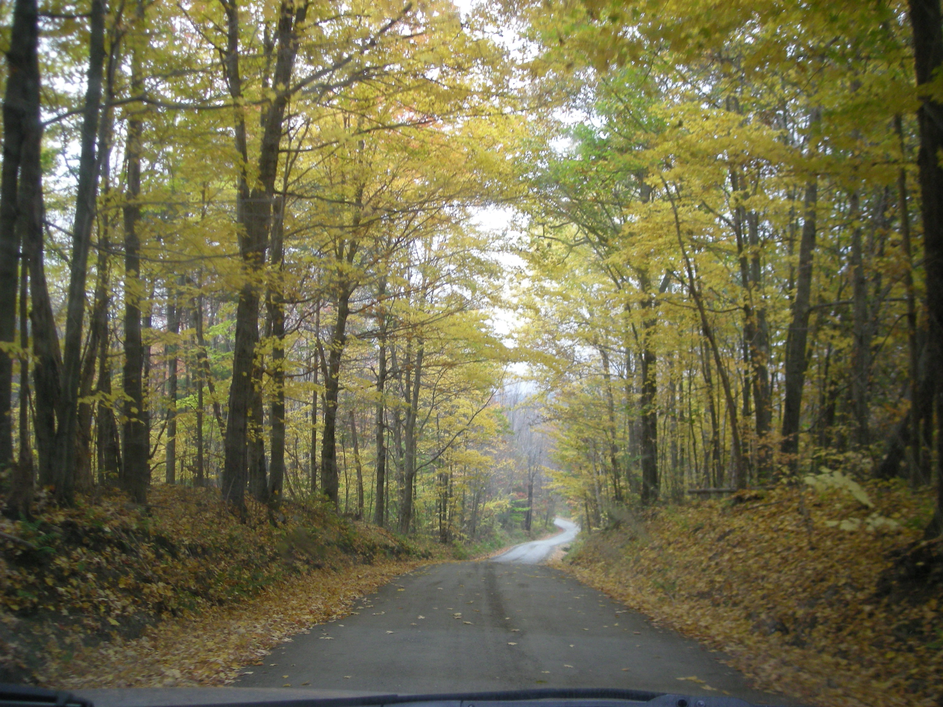
Fall Catskills, NY
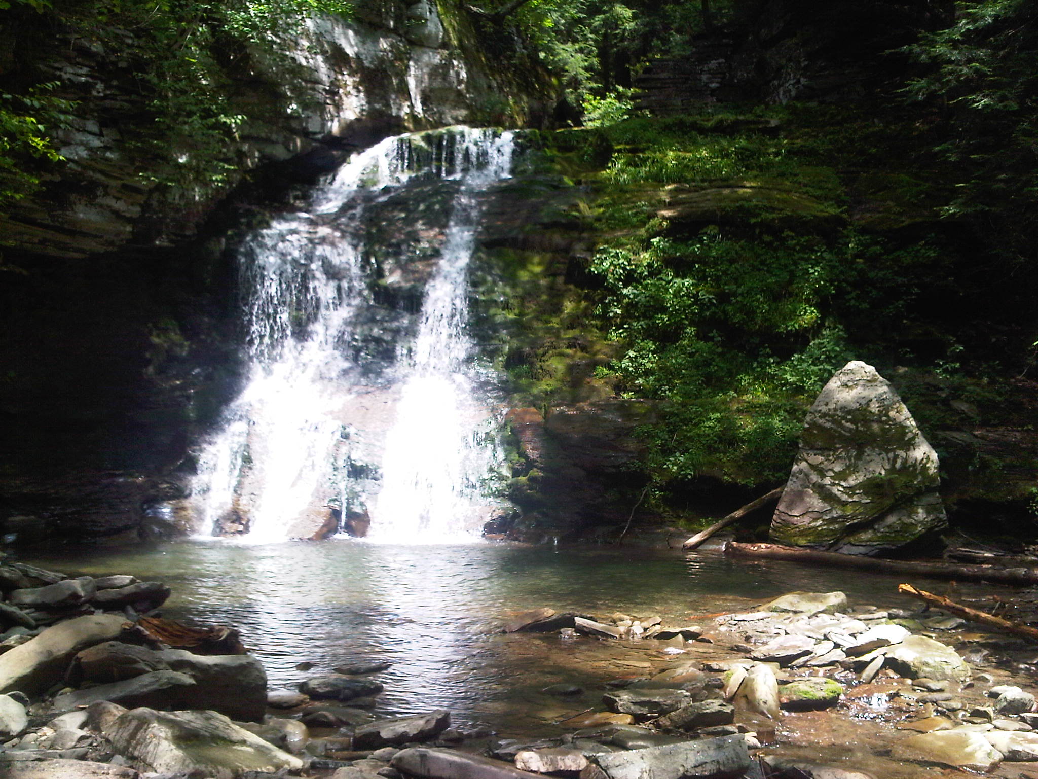
Russell Brook Falls 2

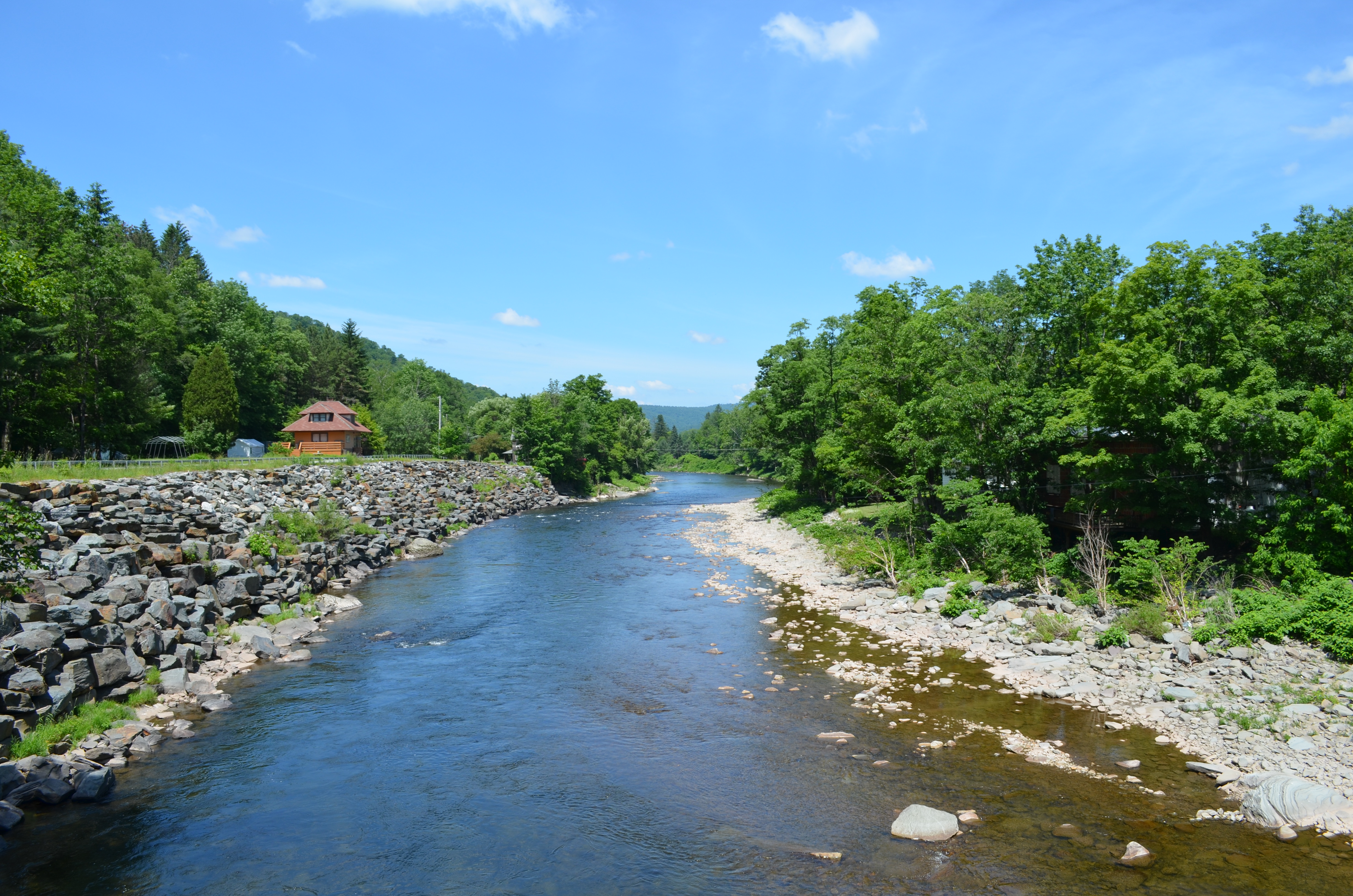
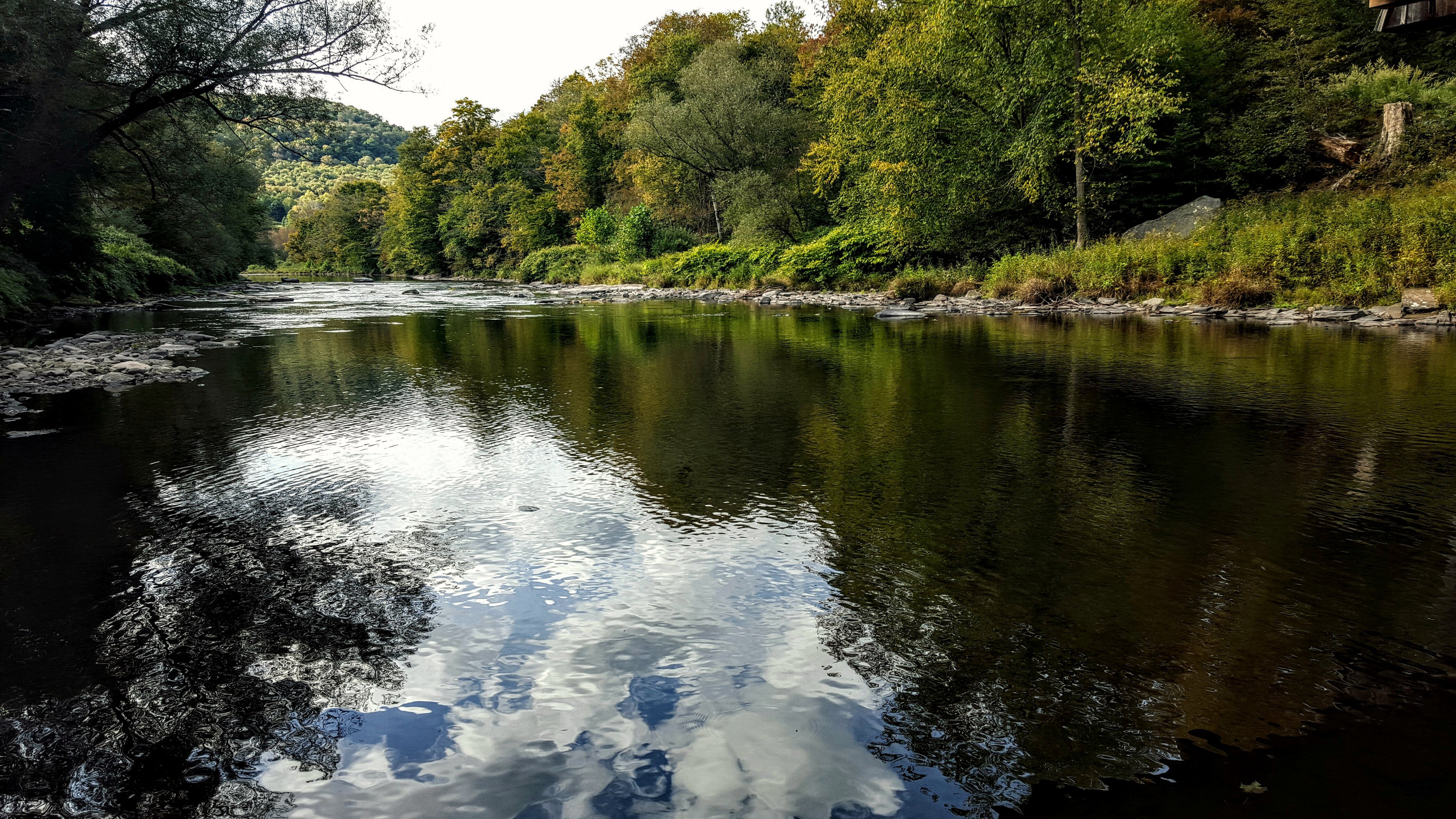
River 2

Puddle Sunset
Willowemoc River
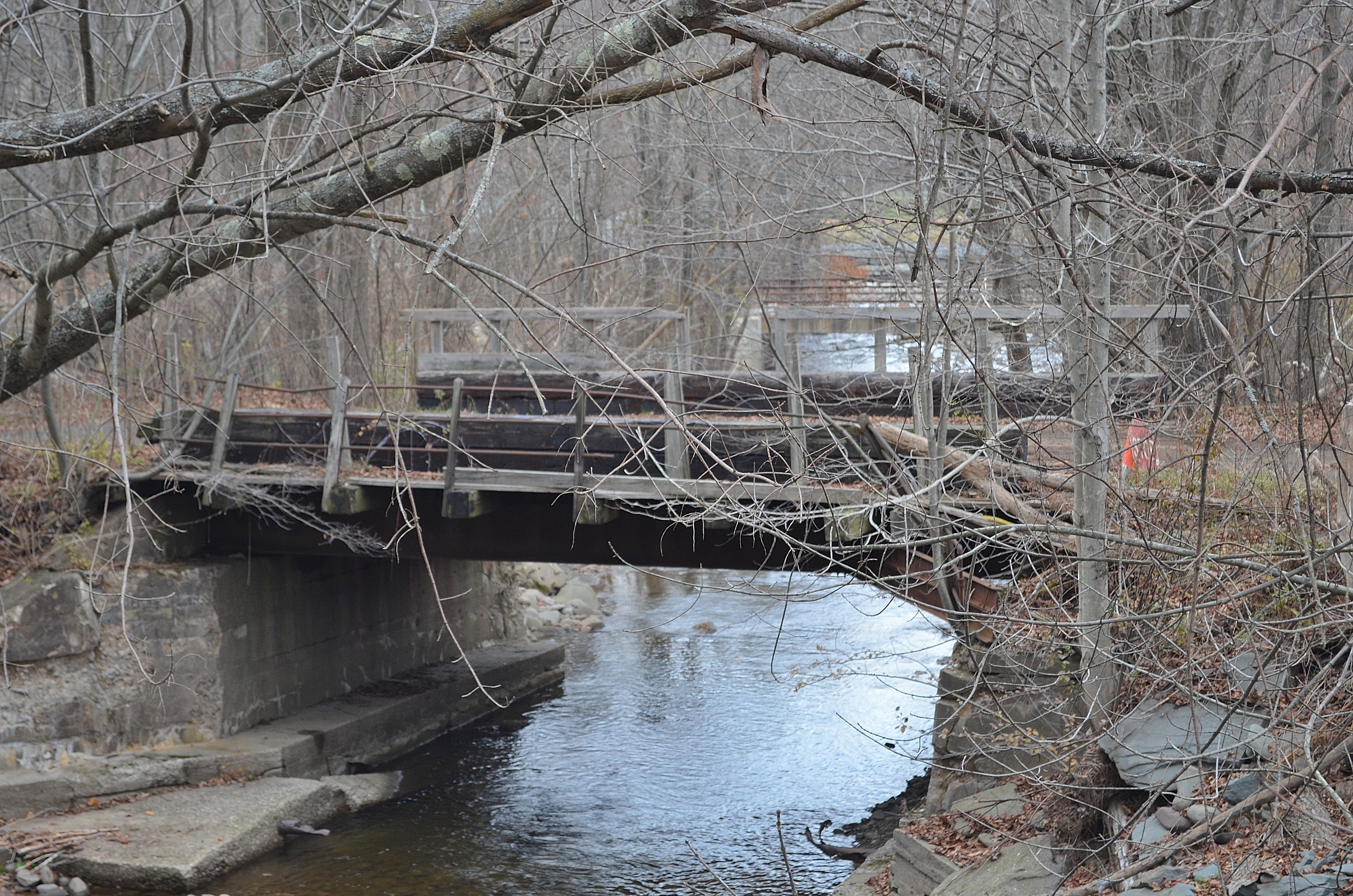
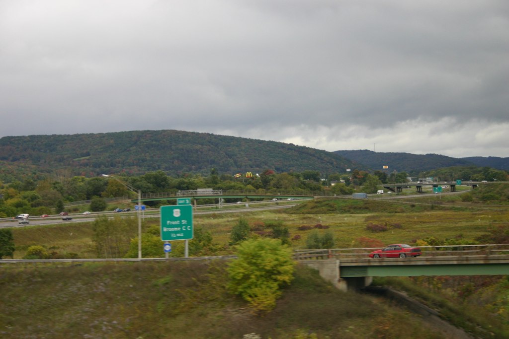
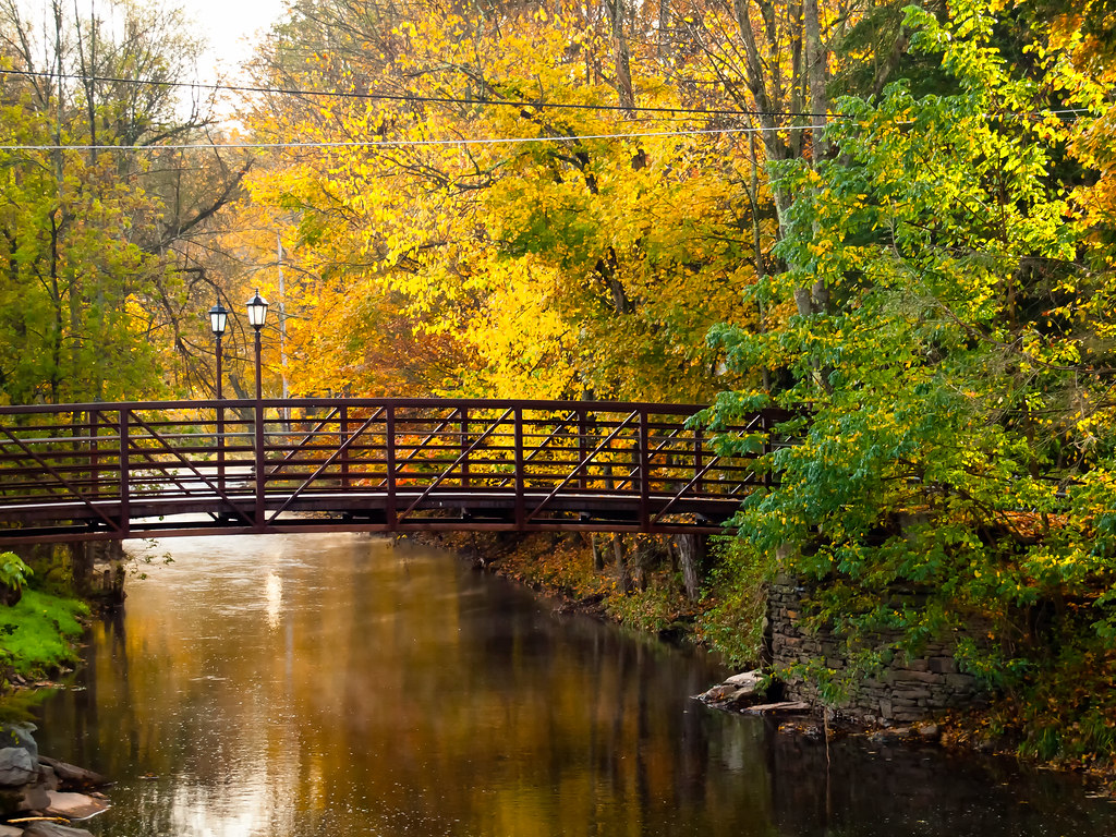
Railroad Bridge
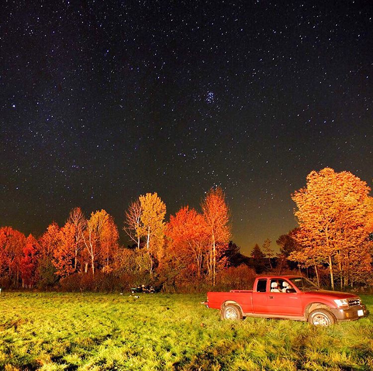
#stars above and #truck below. #eddieadamsworkshop #eddieadams #fall
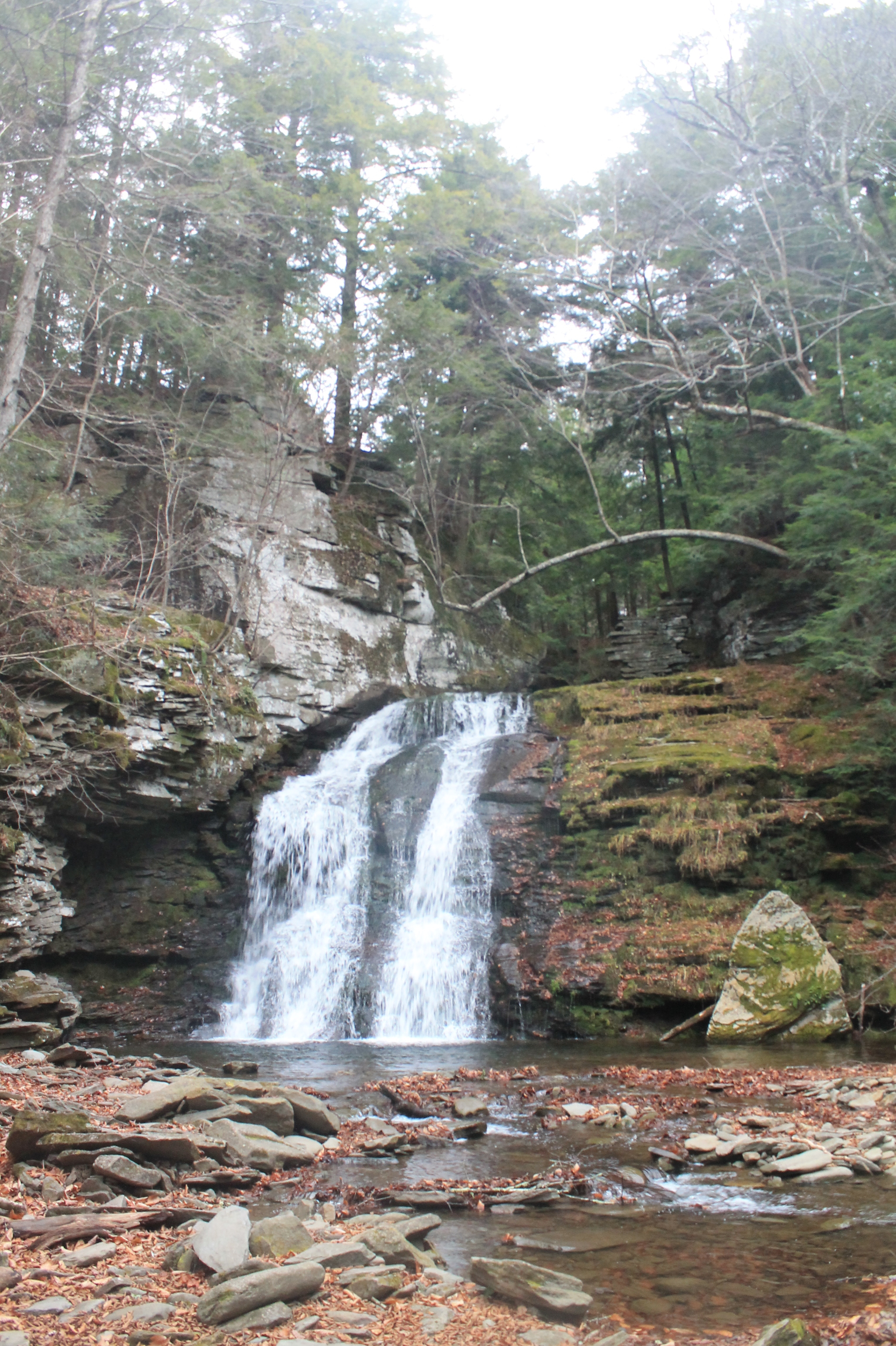
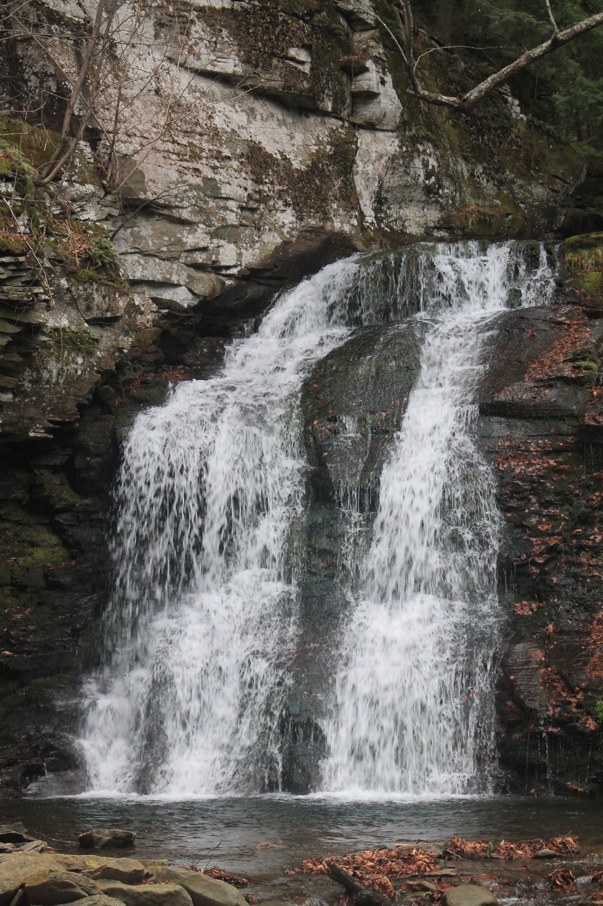
Russell Brook Falls - Lower Falls

Can I help you?
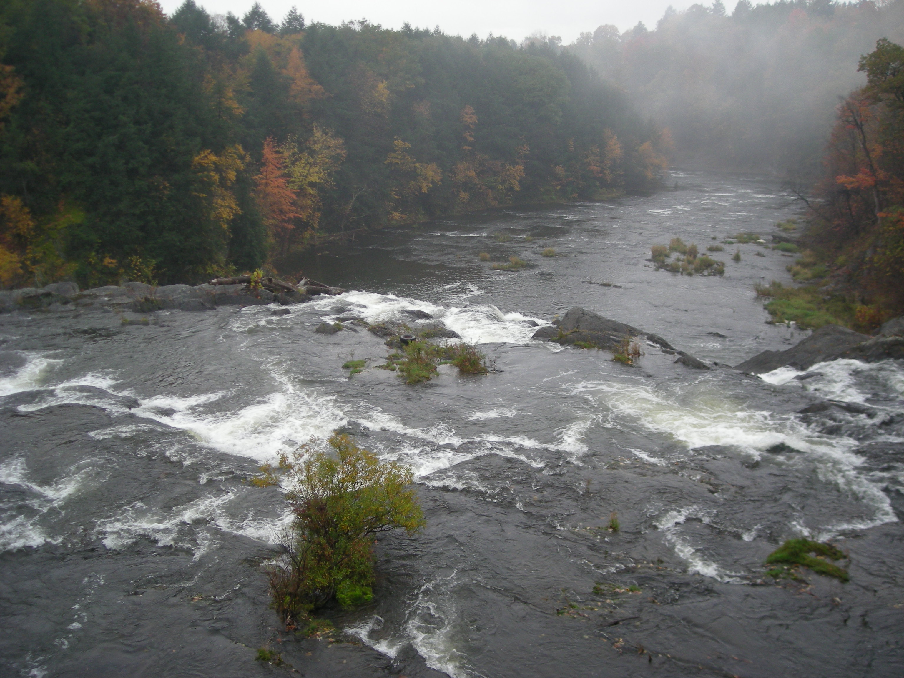
Beaverkill River, Cooks Falls, NY

Kayaking on Amber Lake
Sun Rise
Topographic Map of Crowley Rd, Roscoe, NY, USA
Find elevation by address:

Places near Crowley Rd, Roscoe, NY, USA:
132 Crowley Rd
County Road 93
99 Bestenheider Rd
17 Dee Dr
98 Hornung Rd
12 Dee Dr
Obernburg
150 Bethlehem Rd
46 Cooks Falls Rd, Roscoe, NY, USA
Fremont
18839 County Rd 17
Fremont Center, NY, USA
321 Russell Brook Rd
41 Riverside Dr
1469 Doyle Rd
Roscoe
Fremont Center
Roscoe, NY, USA
84 Seibert Rd
59 Yorktown Rd
Recent Searches:
- Elevation of Corso Fratelli Cairoli, 35, Macerata MC, Italy
- Elevation of Tallevast Rd, Sarasota, FL, USA
- Elevation of 4th St E, Sonoma, CA, USA
- Elevation of Black Hollow Rd, Pennsdale, PA, USA
- Elevation of Oakland Ave, Williamsport, PA, USA
- Elevation of Pedrógão Grande, Portugal
- Elevation of Klee Dr, Martinsburg, WV, USA
- Elevation of Via Roma, Pieranica CR, Italy
- Elevation of Tavkvetili Mountain, Georgia
- Elevation of Hartfords Bluff Cir, Mt Pleasant, SC, USA