Elevation of 99 Bestenheider Rd, Roscoe, NY, USA
Location: United States > New York > Sullivan County > Rockland > Roscoe >
Longitude: -74.978706
Latitude: 41.8642705
Elevation: 550m / 1804feet
Barometric Pressure: 95KPa
Elevation Map:
Satellite Map:
Related Photos:

Evening At Stone Arch Bridge Park

#fujifilmx100f #fujixseries #fujix100f #fujixclub #fujifilmx_us #x100f #catskills #catskillmountains
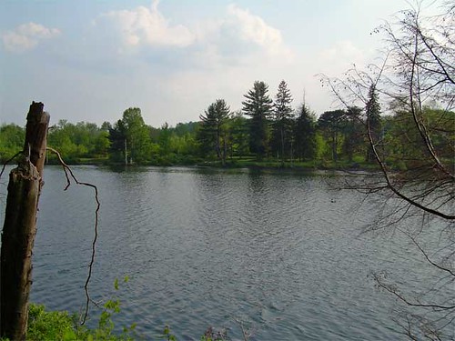
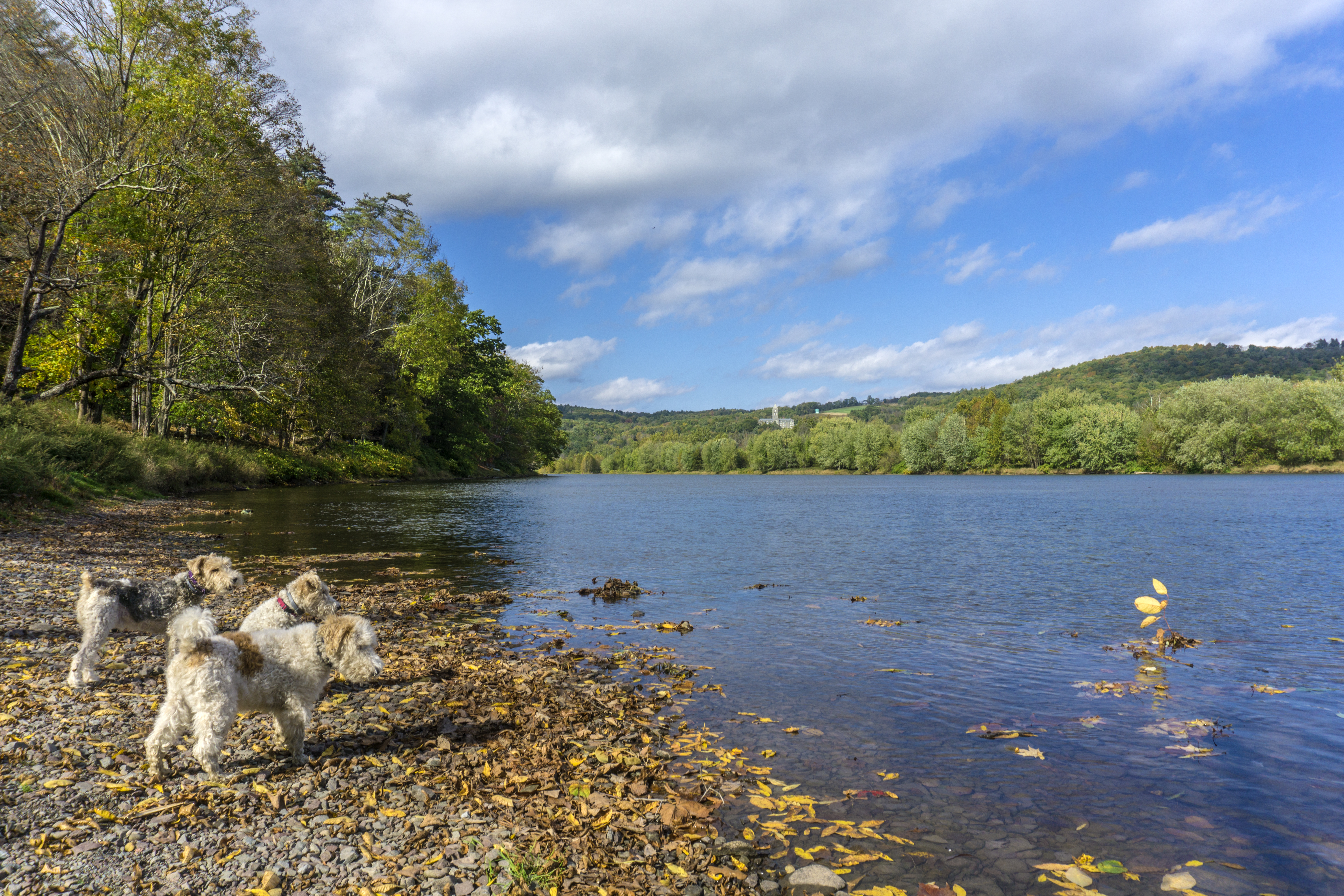
Lake view
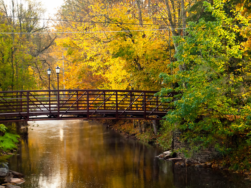
View from the Stone Arch Bridge
HV-1412.jpg

View from the Stone Arch Bridge
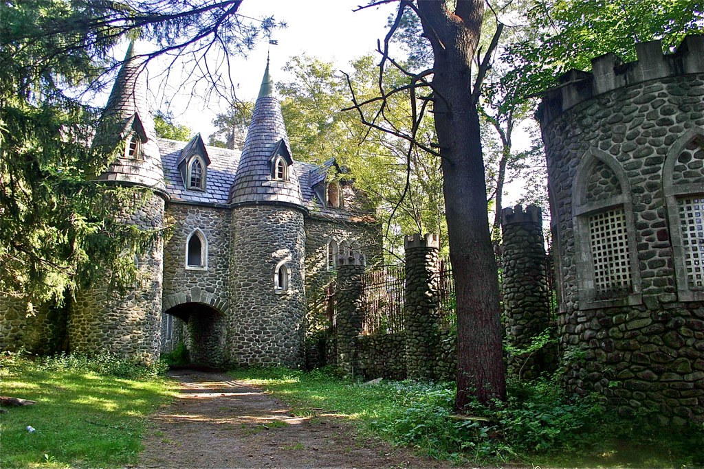
Dundas Castle

Beaver Kill Views
View Off Morton Hill
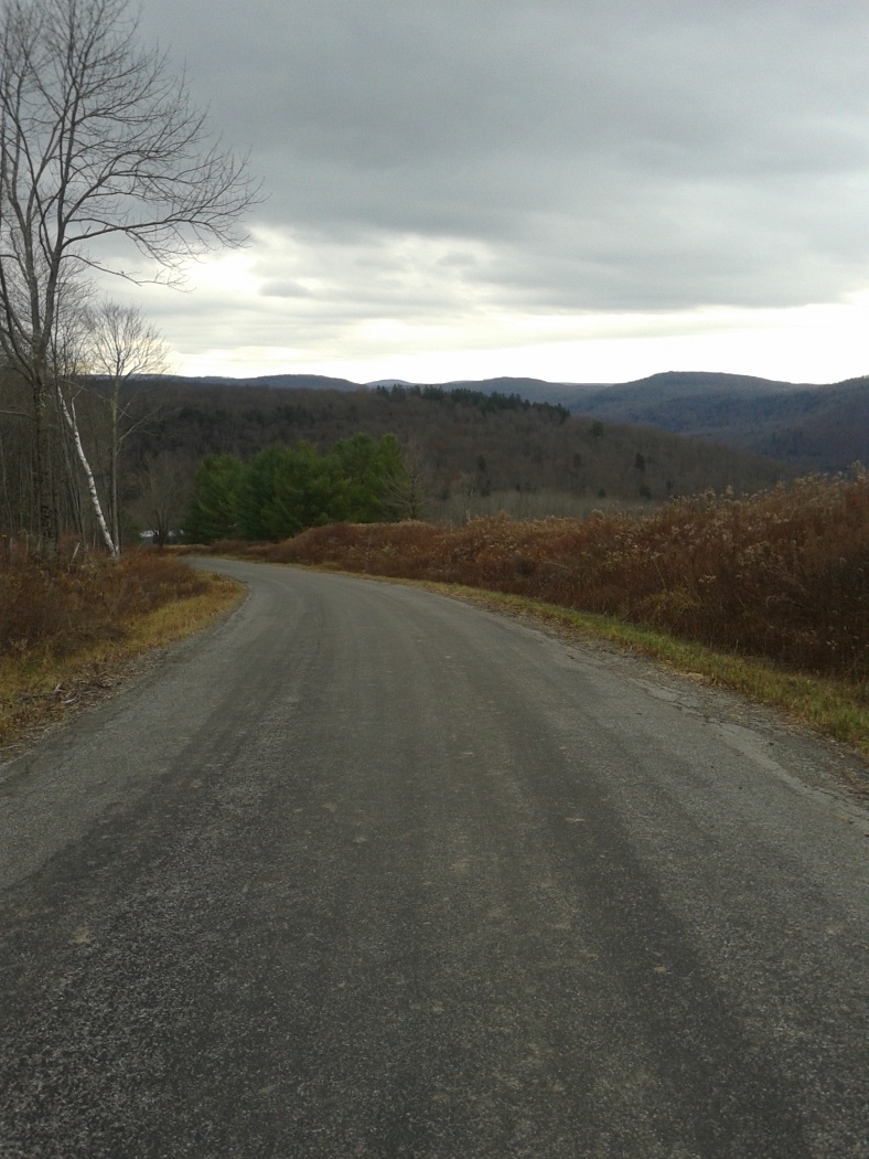
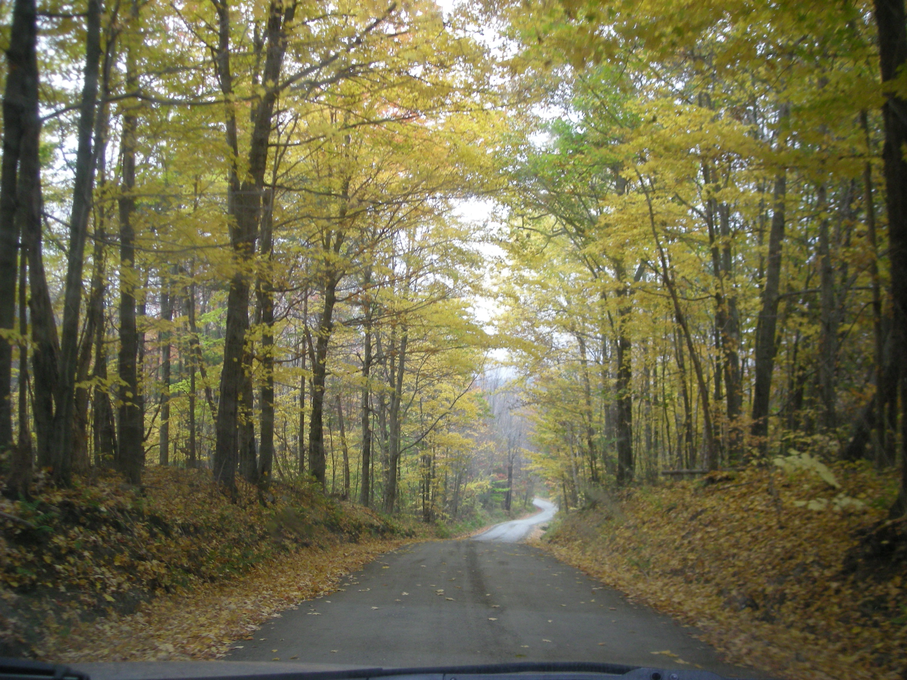
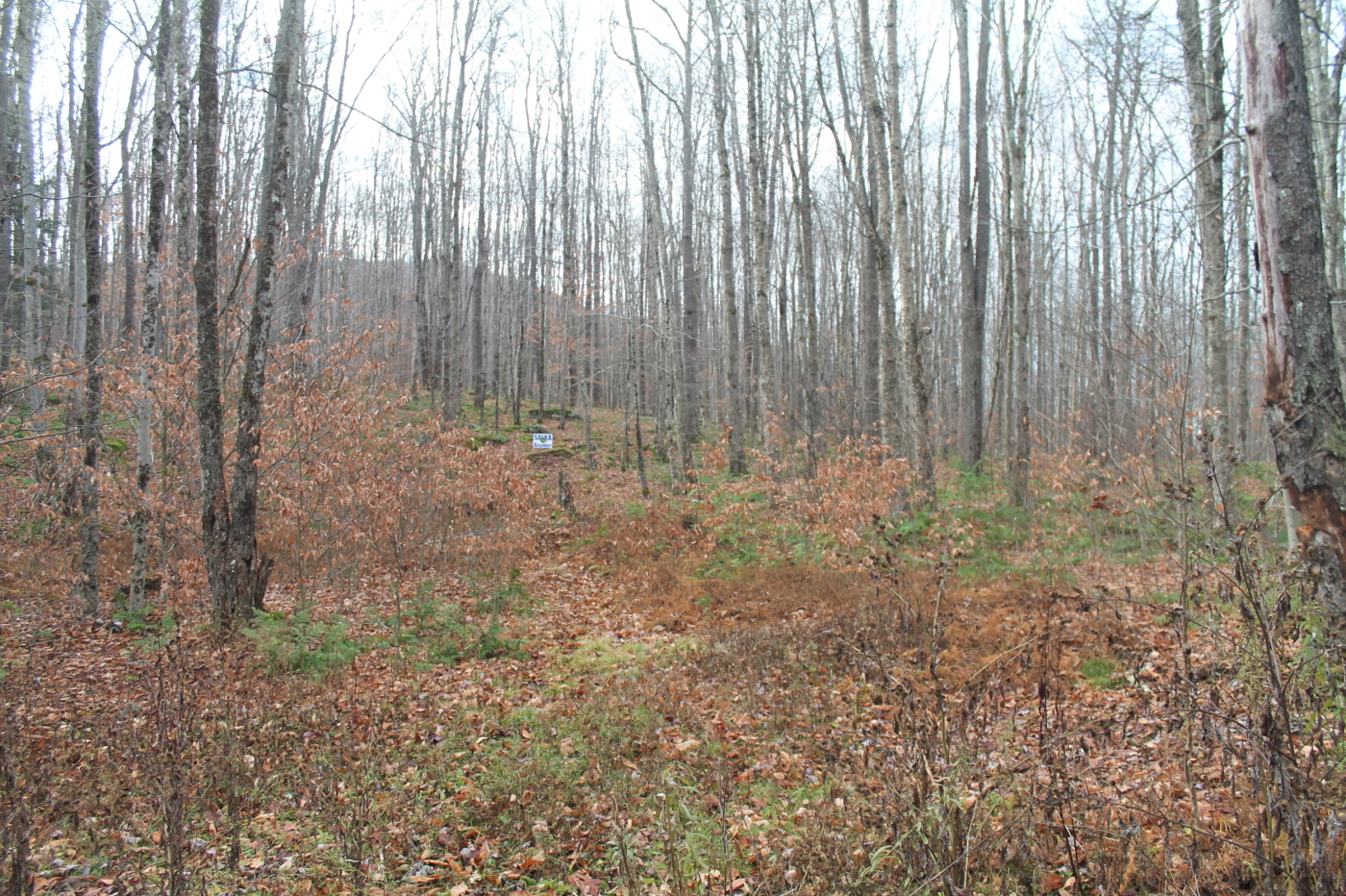
Country View, state of NY

up the down staircase
Country View, state of NY

Porch View
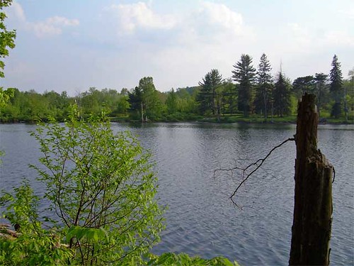
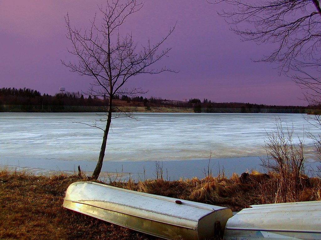
Lake view
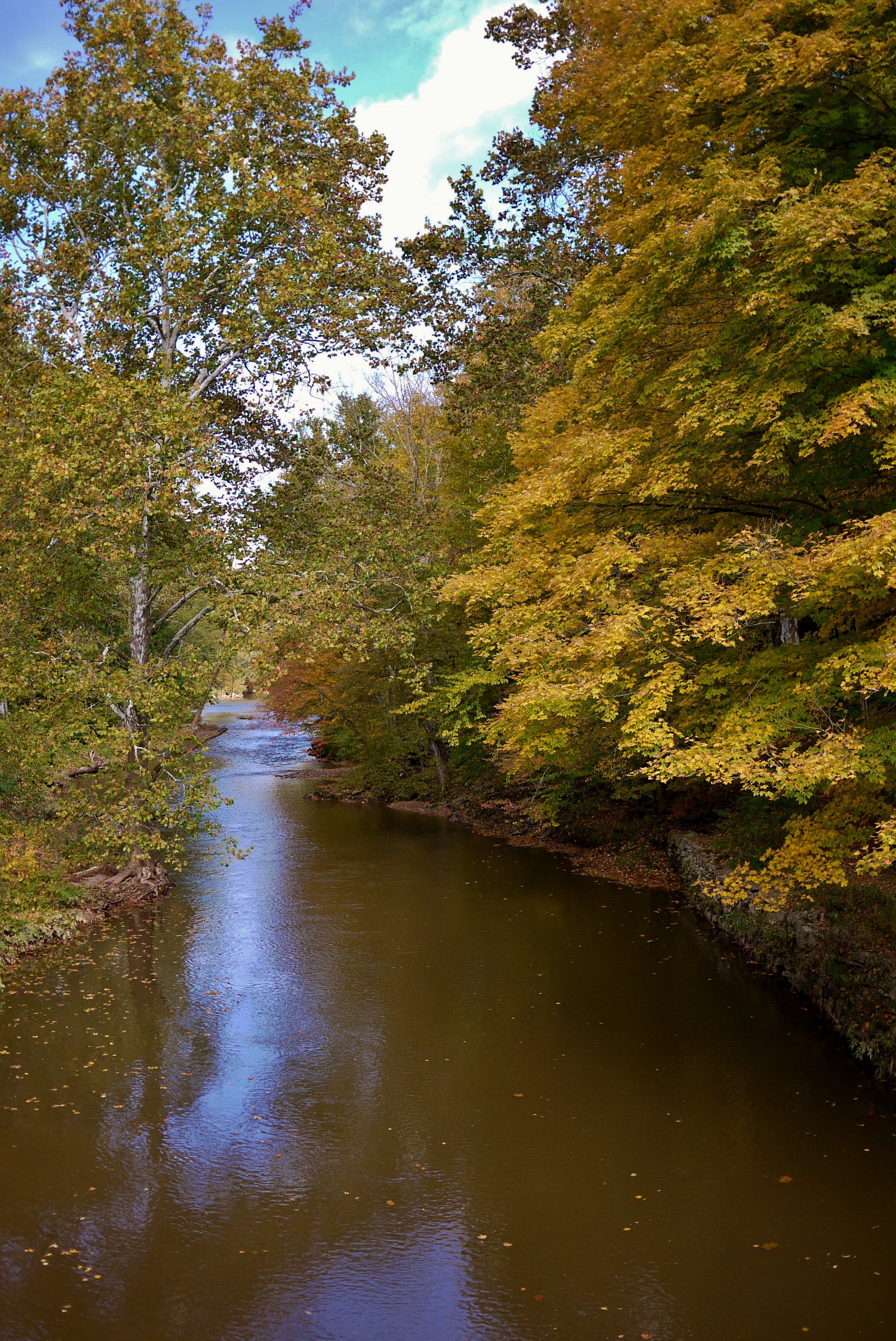
On the Delaware
Lake Shandelee
Laundry Brook
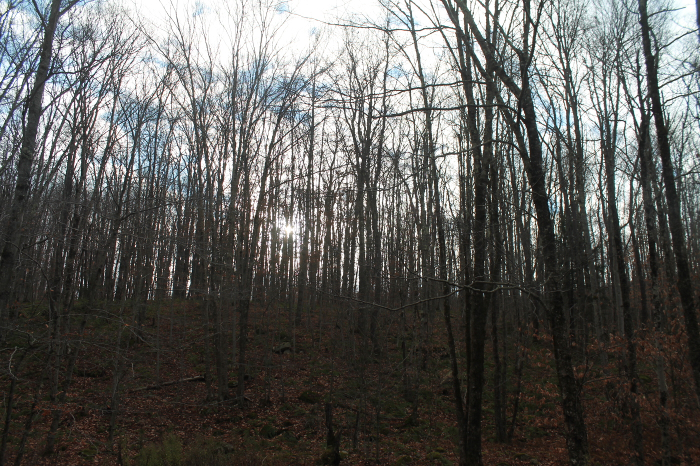
Fall Catskills, NY
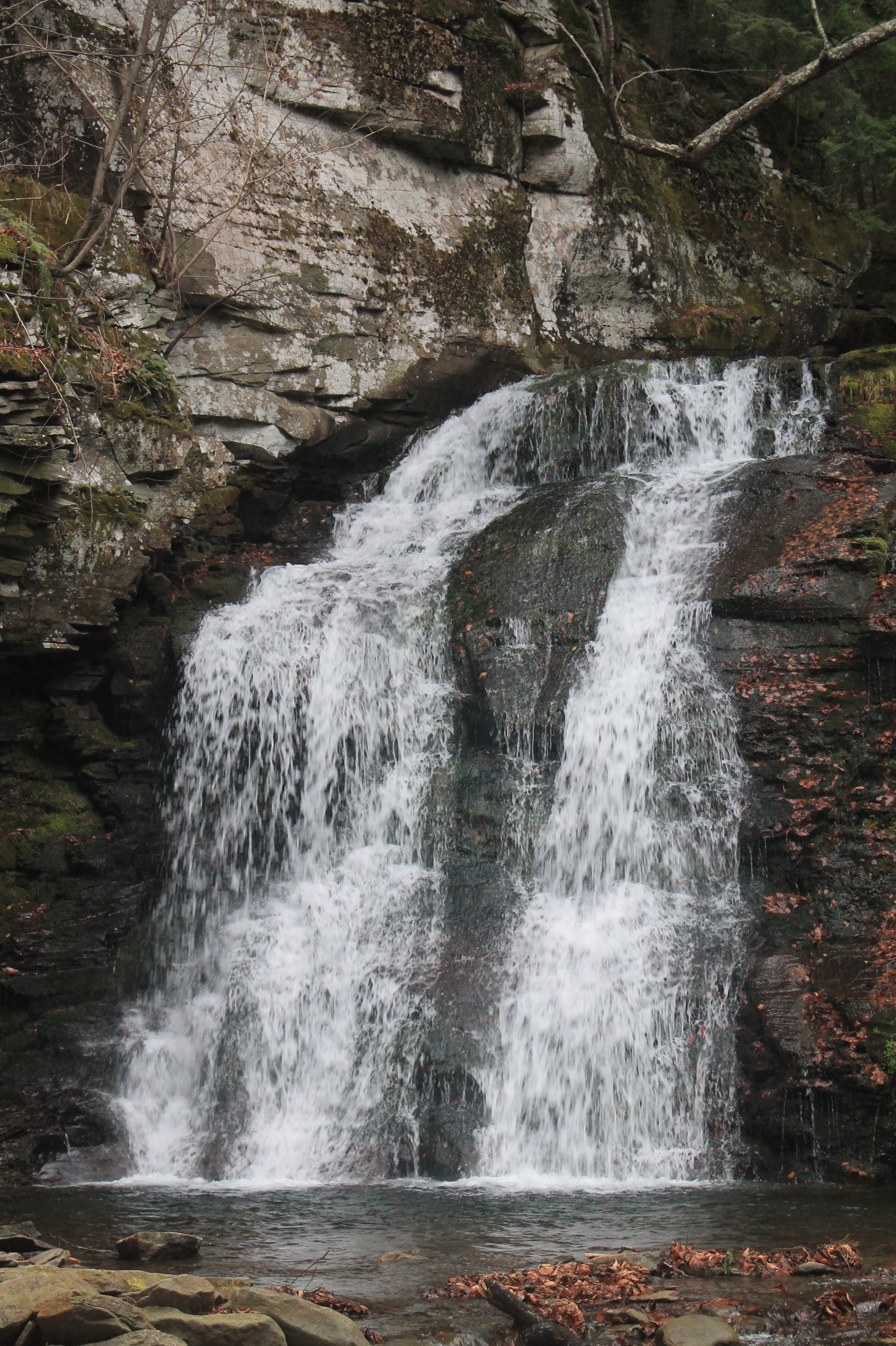
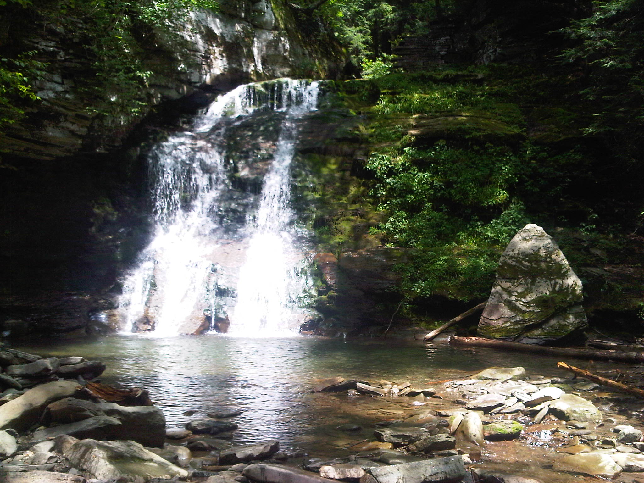
Russell Brook Falls 2

River 2

Can I help you?
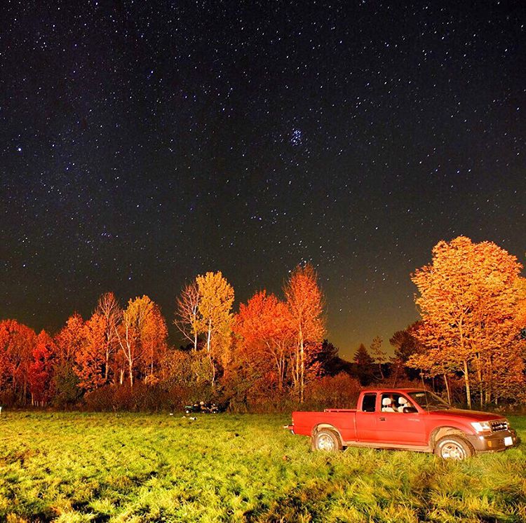
#stars above and #truck below. #eddieadamsworkshop #eddieadams #fall
Delaware River at Callicoon
Bouchoux Mountain Waterfall, New York
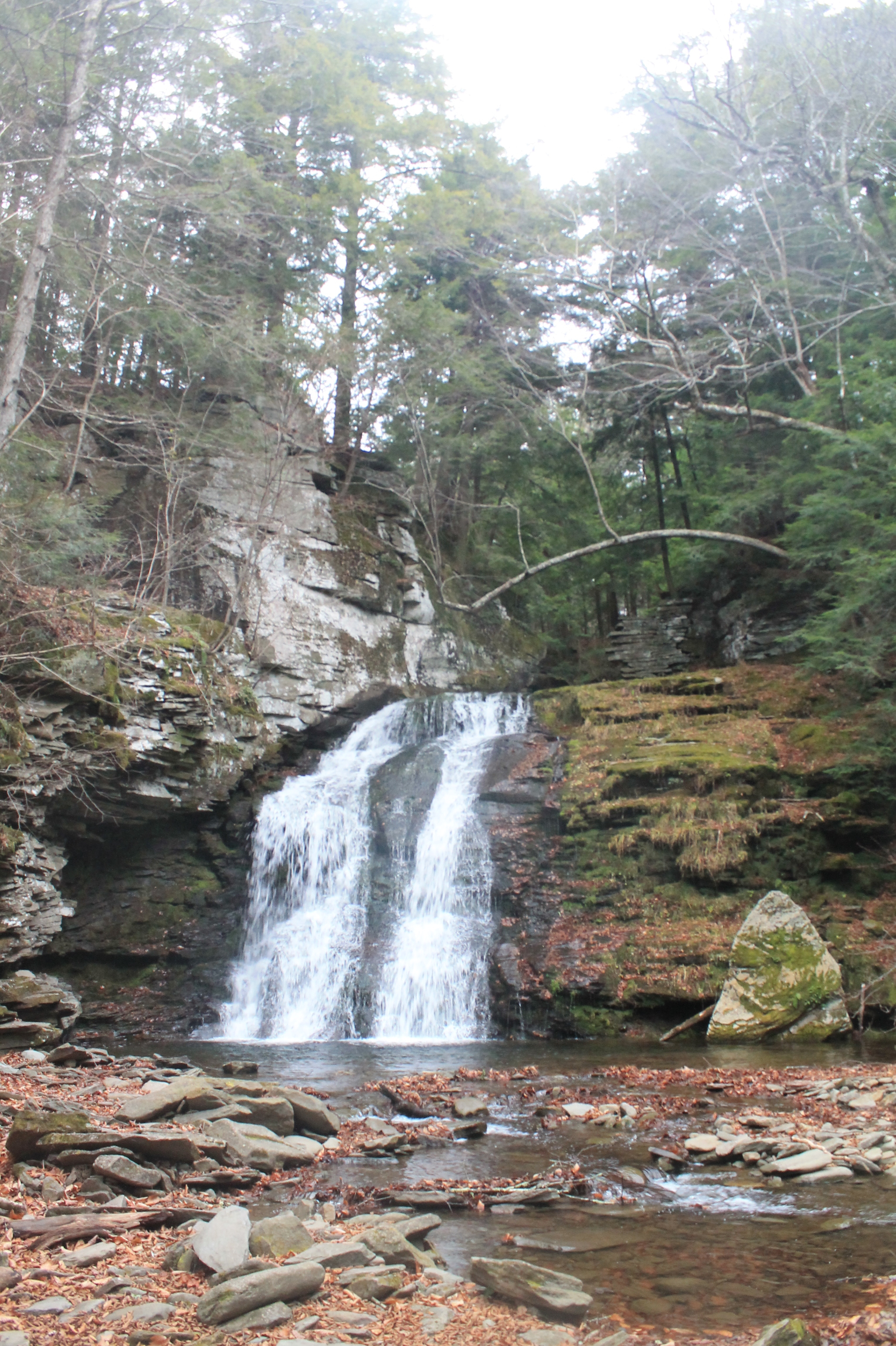
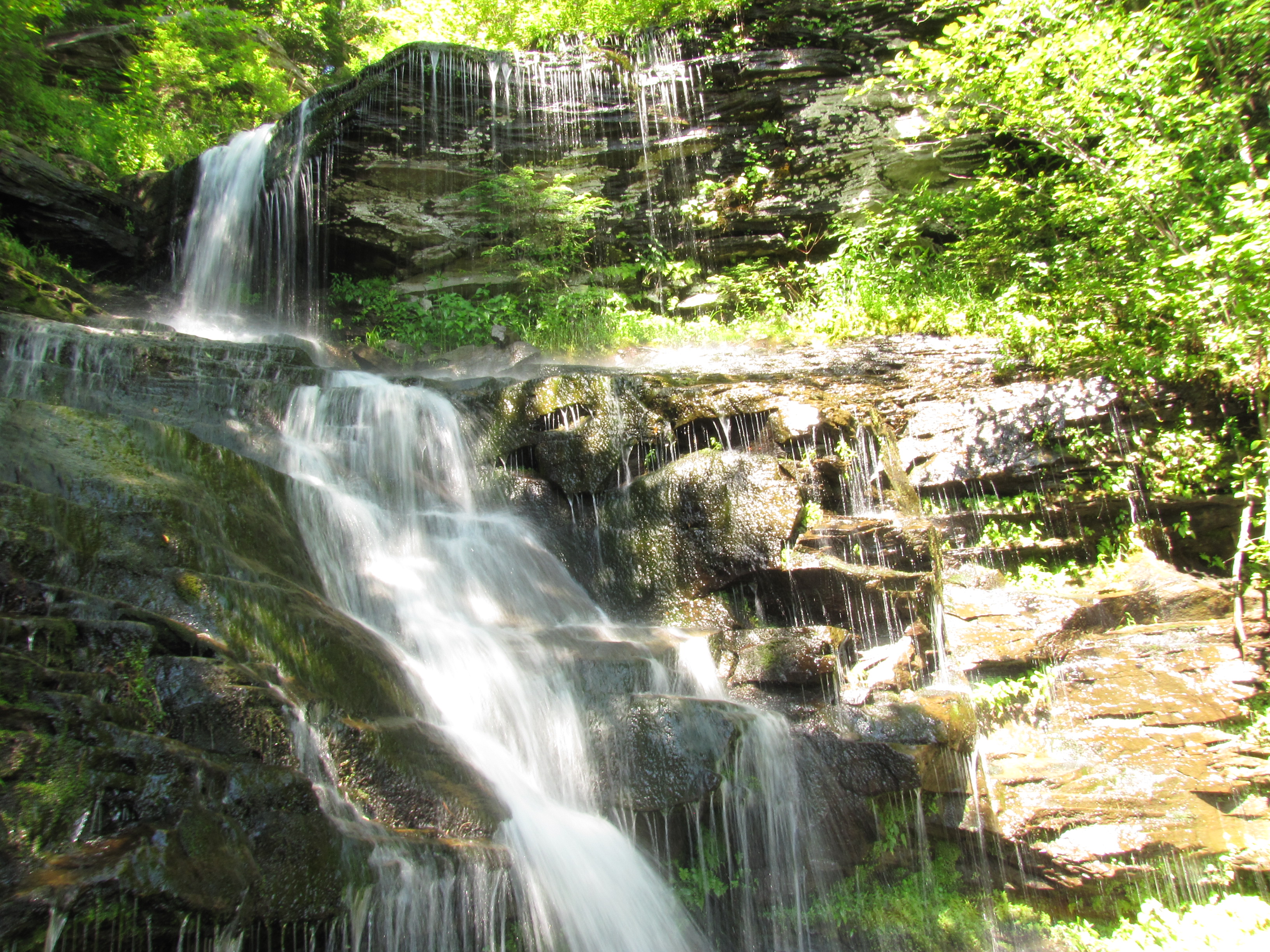
Russell Brook Falls - Lower Falls

Second cascade
Target Practice
Sun Rise
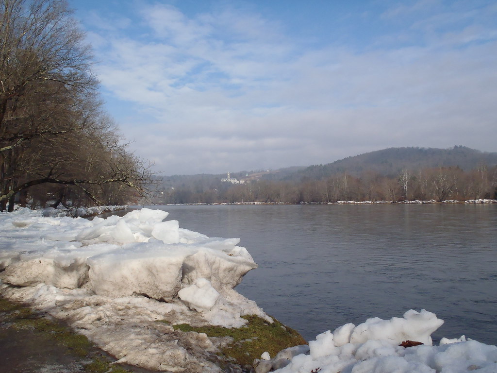
Delaware River at Callicoon

Kayaking on Amber Lake
IMG-20110723-00555.jpg

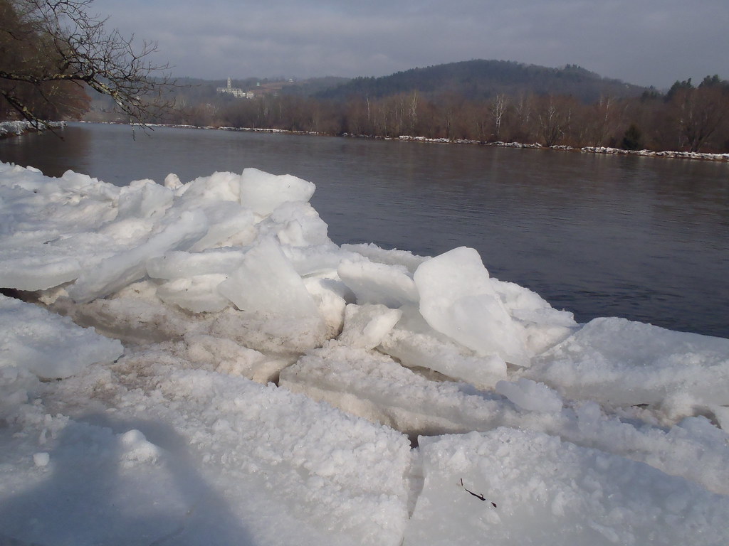
20110102 032
Topographic Map of 99 Bestenheider Rd, Roscoe, NY, USA
Find elevation by address:

Places near 99 Bestenheider Rd, Roscoe, NY, USA:
98 Hornung Rd
132 Crowley Rd
County Road 93
Crowley Rd, Roscoe, NY, USA
150 Bethlehem Rd
Obernburg
17 Dee Dr
12 Dee Dr
Fremont Center, NY, USA
Fremont
84 Seibert Rd
Fremont Center
Callicoon
41 Riverside Dr
731 Stump Pond Rd
1388 Shandelee Rd
36 Gilda Ln
46 Cooks Falls Rd, Roscoe, NY, USA
Roscoe
8 Gilda Ln
Recent Searches:
- Elevation of Spaceport America, Co Rd A, Truth or Consequences, NM, USA
- Elevation of Warwick, RI, USA
- Elevation of Fern Rd, Whitmore, CA, USA
- Elevation of 62 Abbey St, Marshfield, MA, USA
- Elevation of Fernwood, Bradenton, FL, USA
- Elevation of Felindre, Swansea SA5 7LU, UK
- Elevation of Leyte Industrial Development Estate, Isabel, Leyte, Philippines
- Elevation of W Granada St, Tampa, FL, USA
- Elevation of Pykes Down, Ivybridge PL21 0BY, UK
- Elevation of Jalan Senandin, Lutong, Miri, Sarawak, Malaysia