Elevation of 41 Riverside Dr, Roscoe, NY, USA
Location: United States > New York > Sullivan County > Rockland > Roscoe >
Longitude: -74.917989
Latitude: 41.930531
Elevation: 393m / 1289feet
Barometric Pressure: 97KPa
Elevation Map:
Satellite Map:
Related Photos:

Inside Livingston Manor Covered Bridge aka Van Tran Flat

Livingston Manor Covered Bridge AKA Van Tran Flat Bridge
HV-1412.jpg

Pretty Morning View
Lake view
View from Mary Smith Trail

Pretty Evening View
Dundas Castle

Sullivan Diner Entrance

Pretty Evening View

Pretty Evening View
Beaver Kill Views

Pretty Evening View

Beaver Kill Views

Worm's eye view
View Off Morton Hill

Pretty Morning View
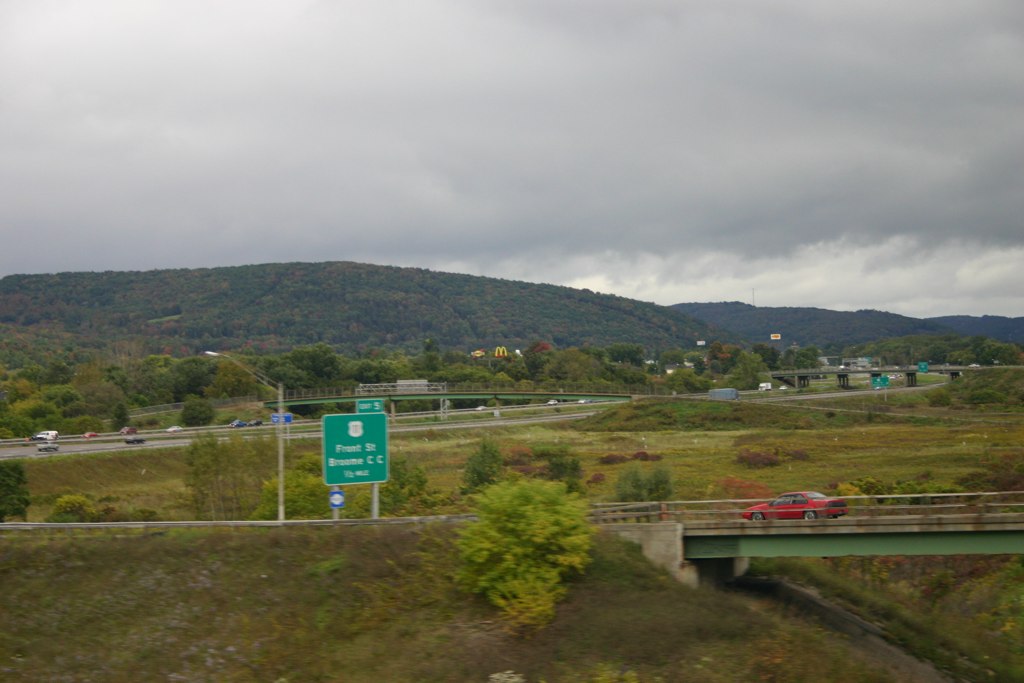
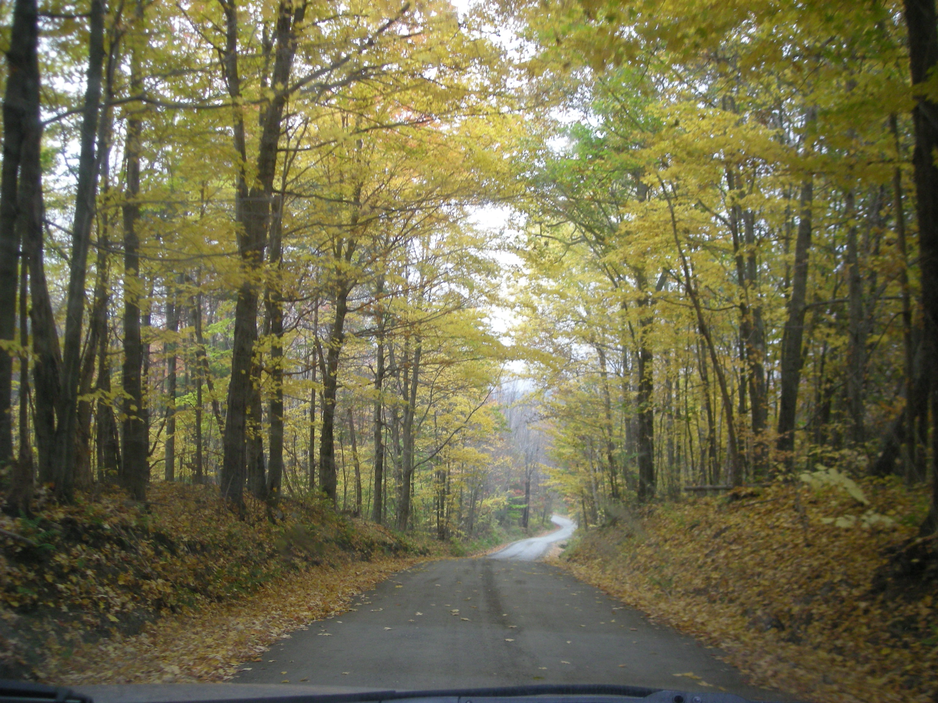
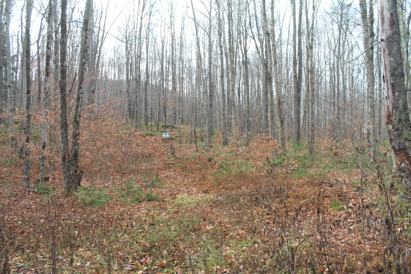
Country View, state of NY

up the down staircase
Lake view
Country View, state of NY
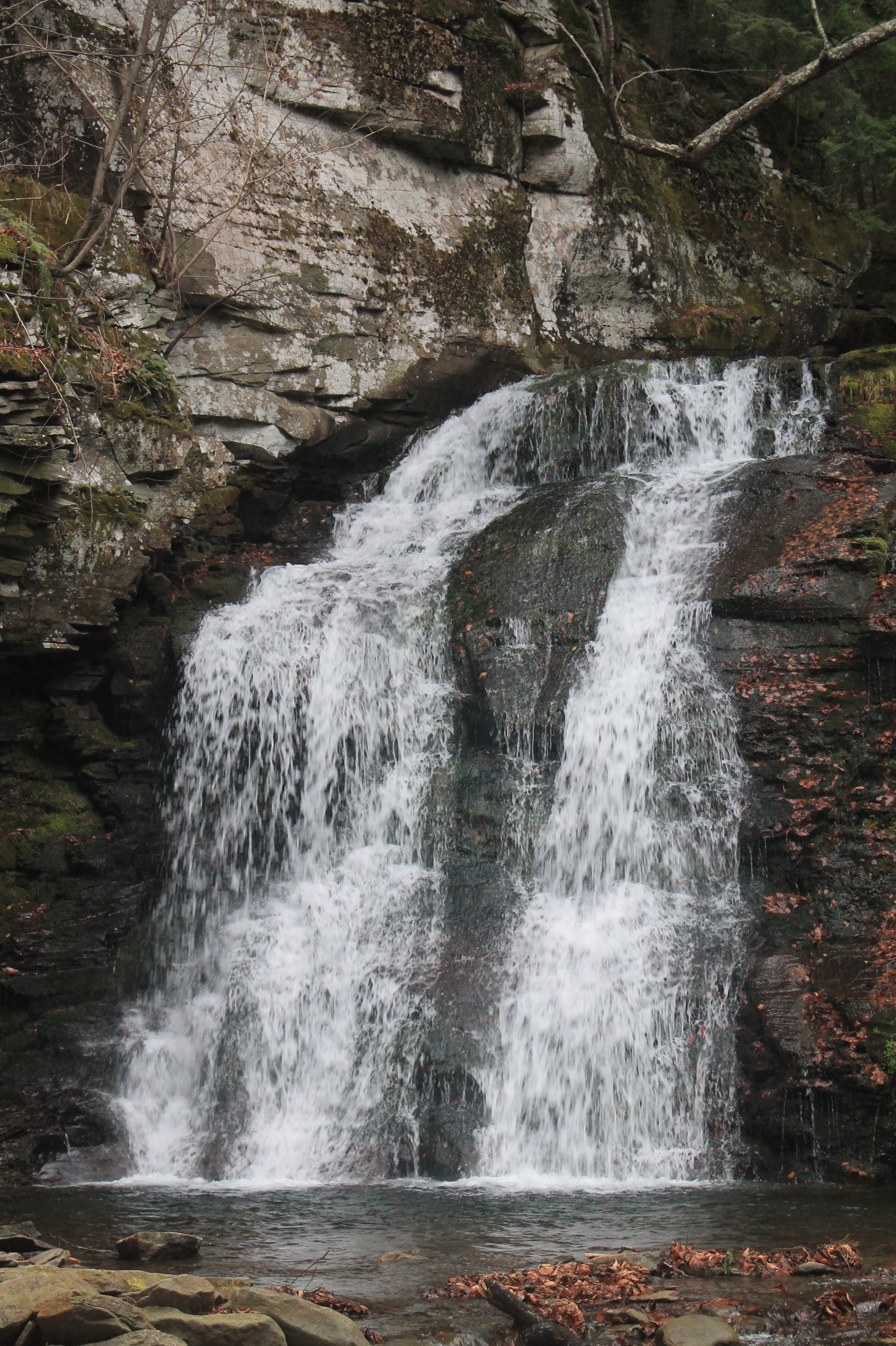
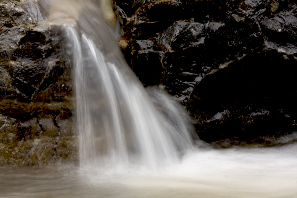
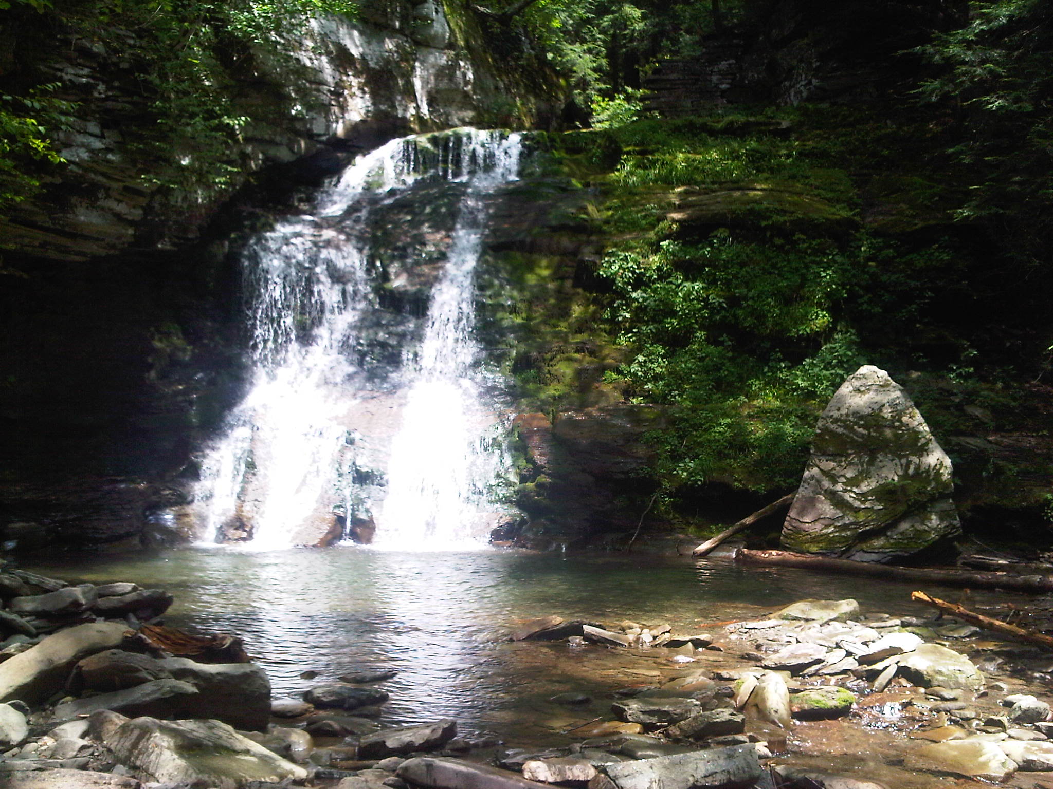
Russell Brook Falls 2
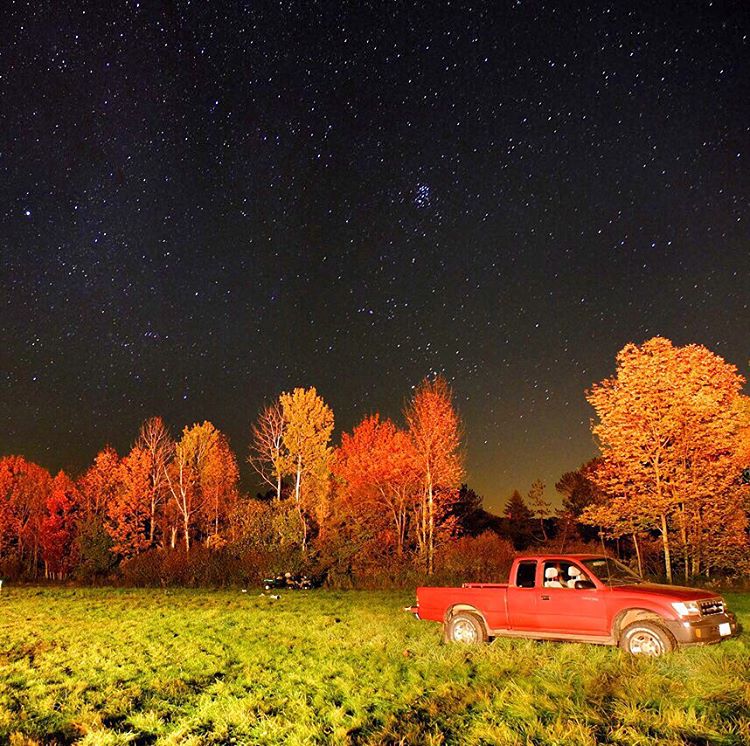
#stars above and #truck below. #eddieadamsworkshop #eddieadams #fall
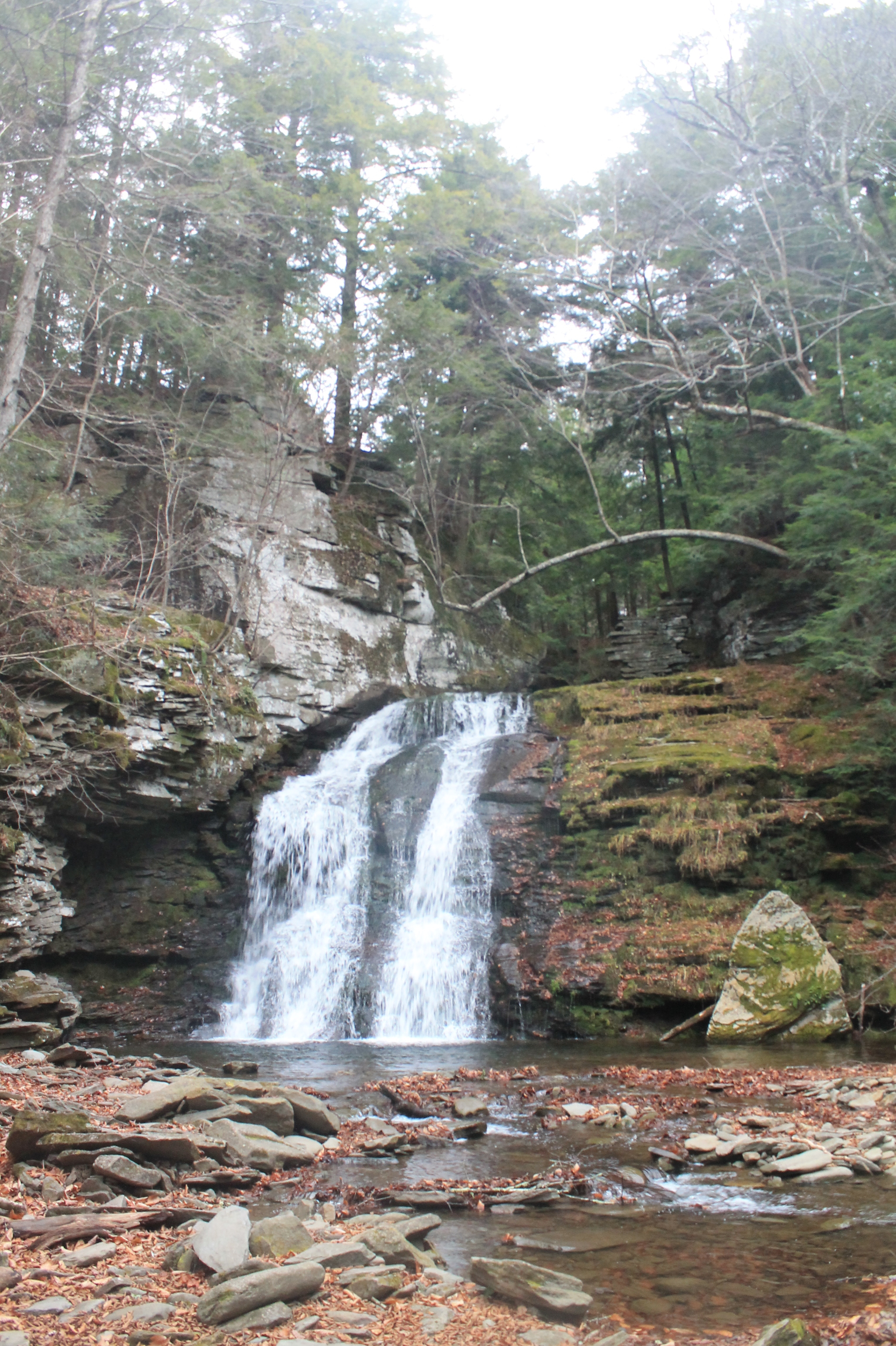
Russell Brook Falls - Lower Falls

Kayaking on Amber Lake

Second cascade

Beaverkill Covered Bridge

Evening Sky Over The Manor

Lake Shandelee
Fall Catskills, NY
Holiday Brook
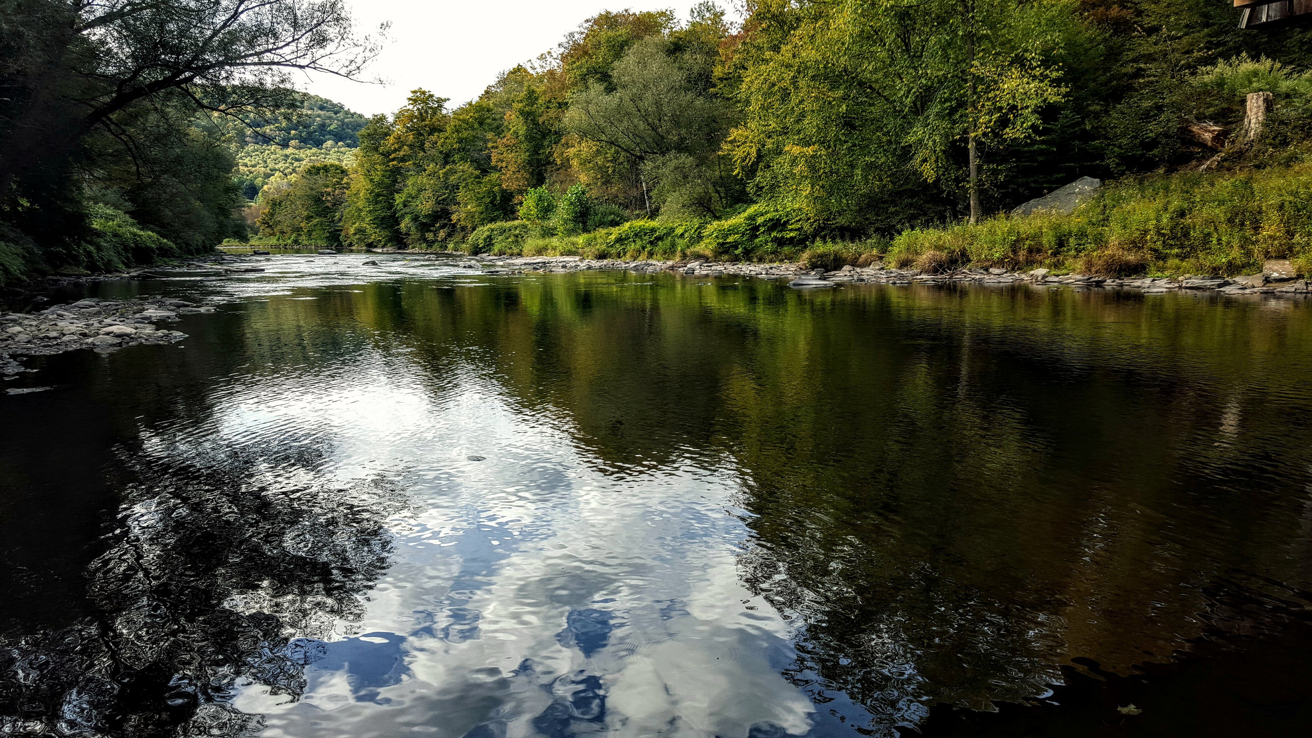
Willowemoc River
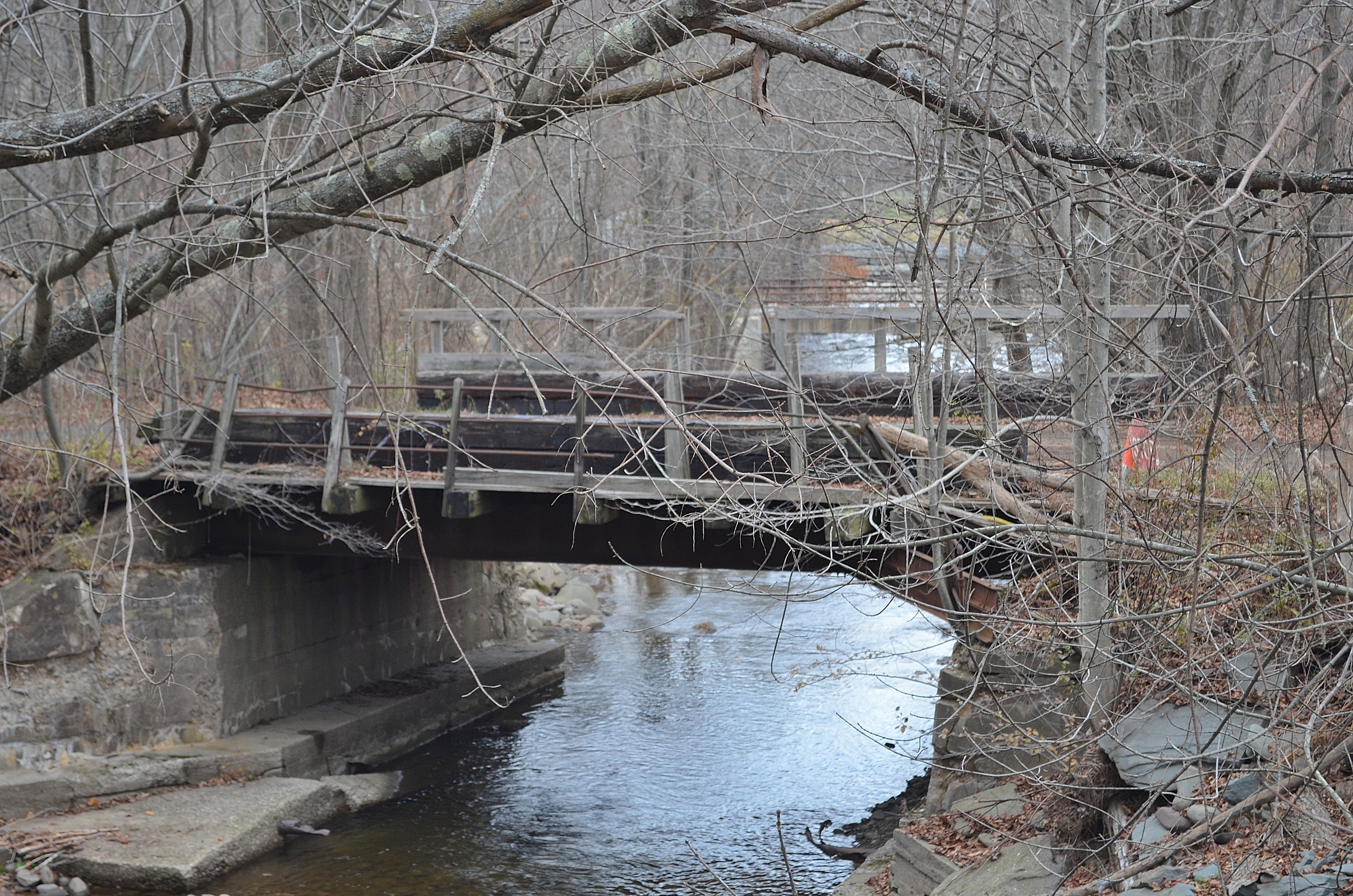
Railroad Bridge
IMG-20110723-00555.jpg
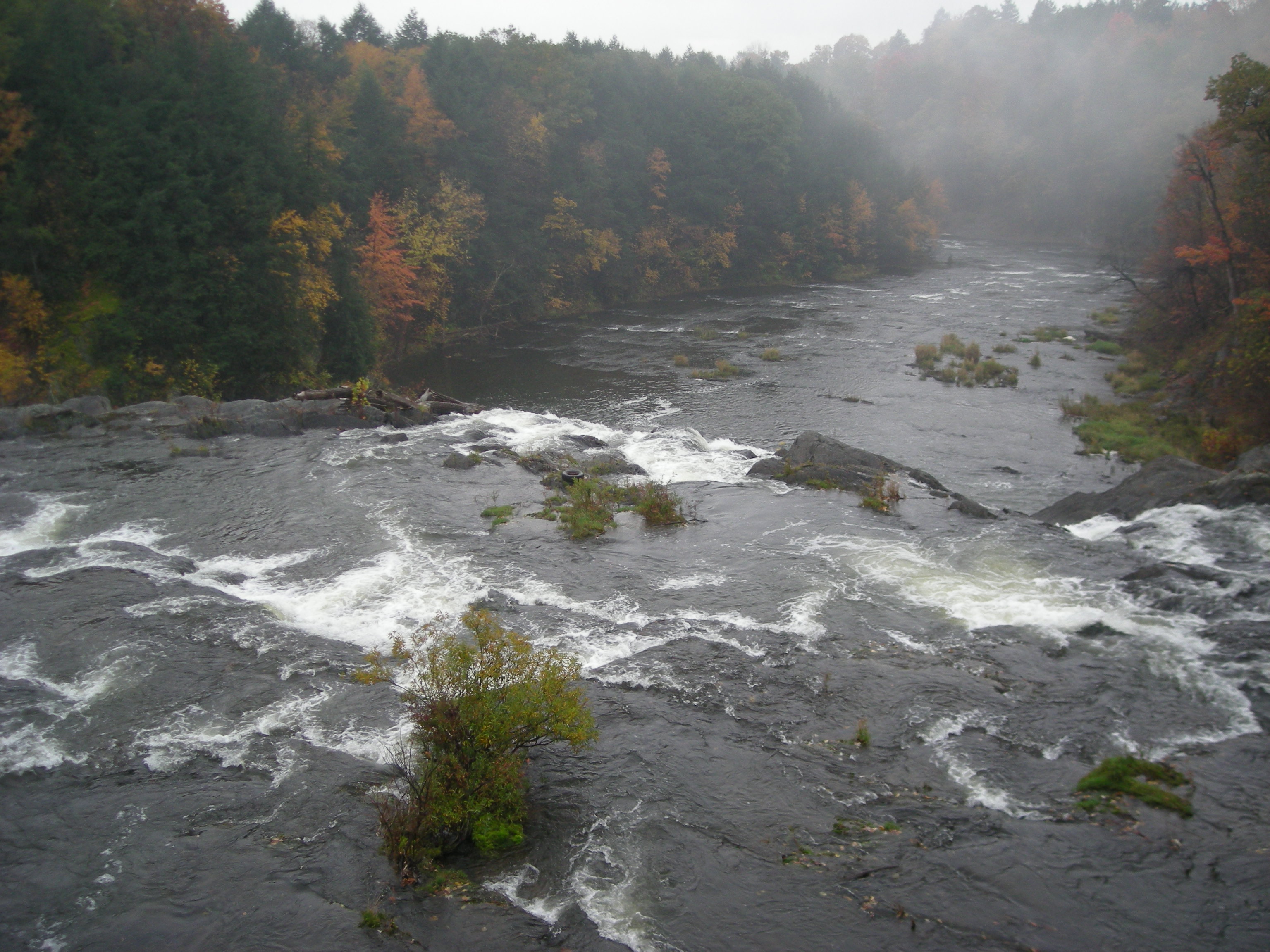
Beaverkill River, Cooks Falls, NY
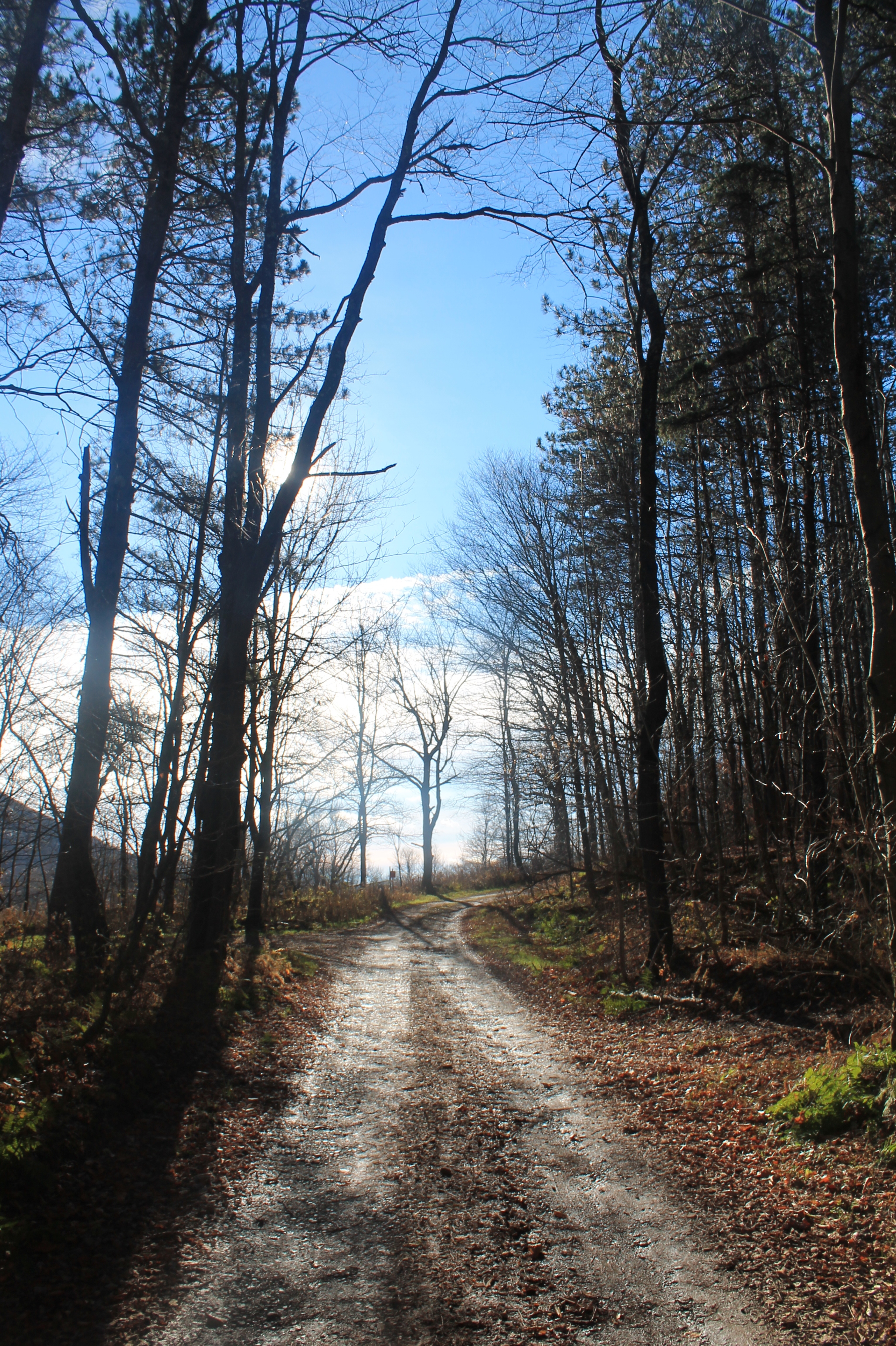
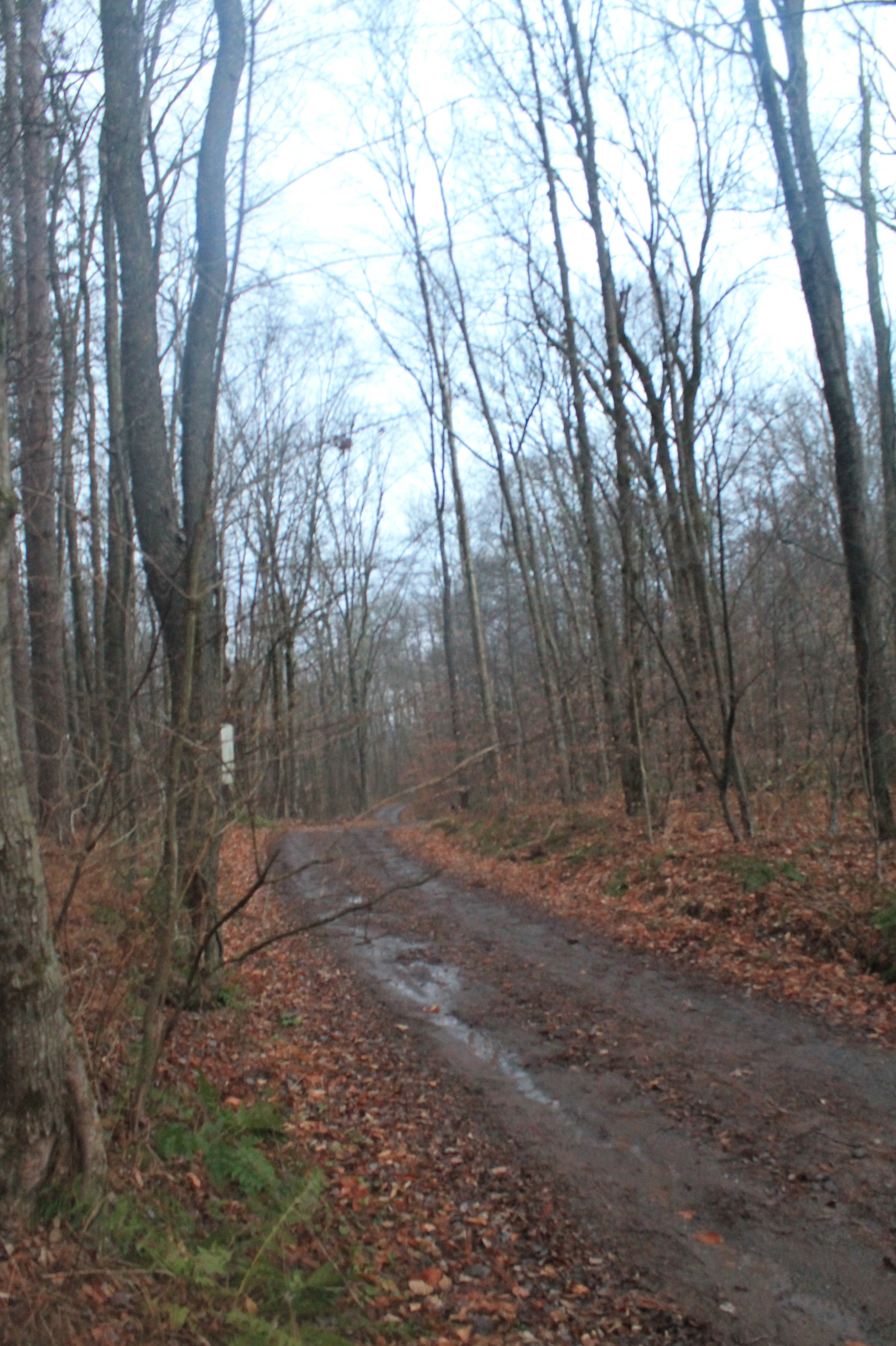
Mary Smith Road
Sun Rise
Target Practice
Mary Smith Road After the Rain Showers
Topographic Map of 41 Riverside Dr, Roscoe, NY, USA
Find elevation by address:

Places near 41 Riverside Dr, Roscoe, NY, USA:
Roscoe
59 Yorktown Rd
145 Rockland Rd
221 Rockland Rd
Roscoe, NY, USA
381 Ackerman Acres Rd
6159 Ny-206
Crowley Rd, Roscoe, NY, USA
132 Crowley Rd
36 Gilda Ln
321 Russell Brook Rd
731 Stump Pond Rd
46 Cooks Falls Rd, Roscoe, NY, USA
8 Gilda Ln
Mud Pond
18839 County Rd 17
98 Hornung Rd
150 Bethlehem Rd
99 Bestenheider Rd
Callicoon
Recent Searches:
- Elevation of Gateway Blvd SE, Canton, OH, USA
- Elevation of East W.T. Harris Boulevard, E W.T. Harris Blvd, Charlotte, NC, USA
- Elevation of West Sugar Creek, Charlotte, NC, USA
- Elevation of Wayland, NY, USA
- Elevation of Steadfast Ct, Daphne, AL, USA
- Elevation of Lagasgasan, X+CQH, Tiaong, Quezon, Philippines
- Elevation of Rojo Ct, Atascadero, CA, USA
- Elevation of Flagstaff Drive, Flagstaff Dr, North Carolina, USA
- Elevation of Avery Ln, Lakeland, FL, USA
- Elevation of Woolwine, VA, USA