Elevation of Creekmere Dr, Canyon, TX, USA
Location: United States > Texas > Randall County > Canyon >
Longitude: -101.92629
Latitude: 34.9729935
Elevation: 1072m / 3517feet
Barometric Pressure: 89KPa
Elevation Map:
Satellite Map:
Related Photos:

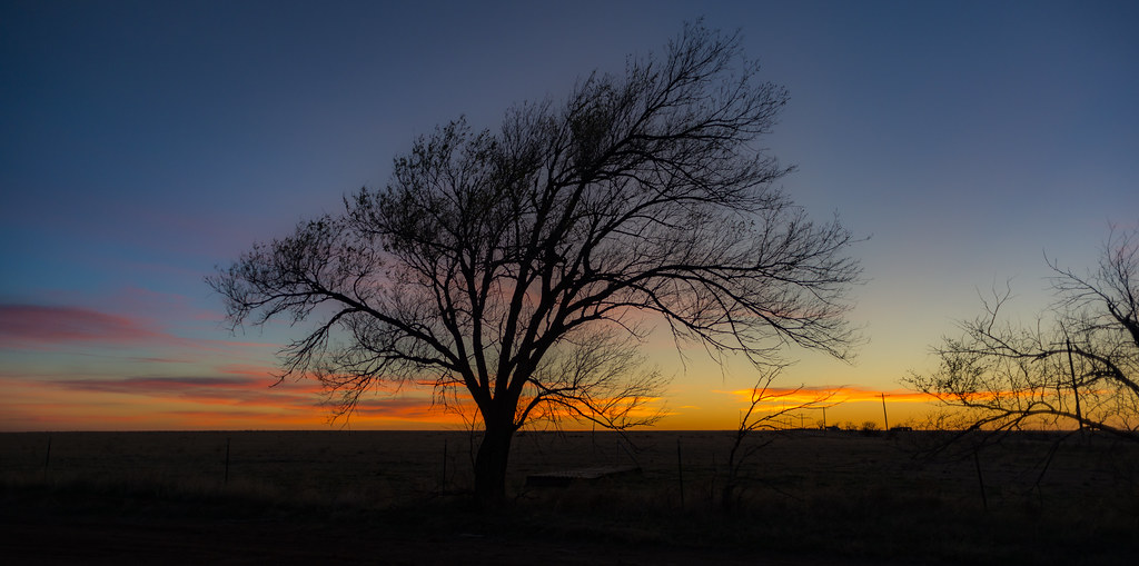
Sunset Insanity 2
Sunset Insanity 1
Ducks in a Row

Cemetery Angel
The Swinging Bridge
Spanish American War 2

Amarillo, Texas, from a Plane
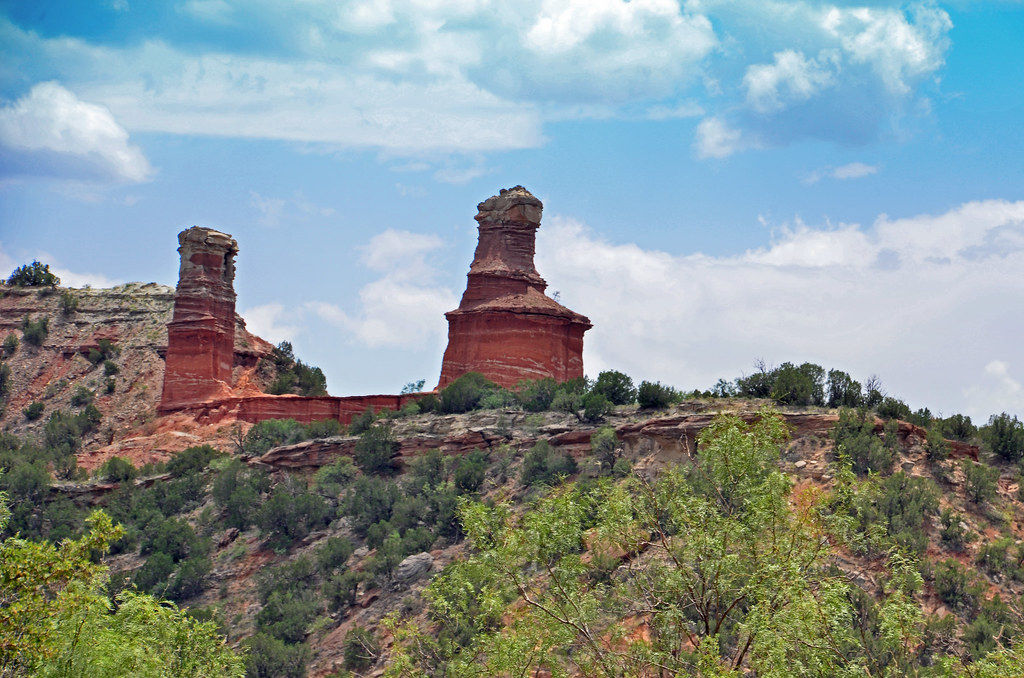
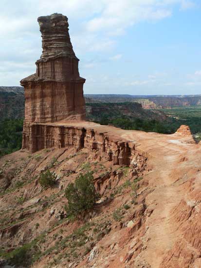
The Lighthouse
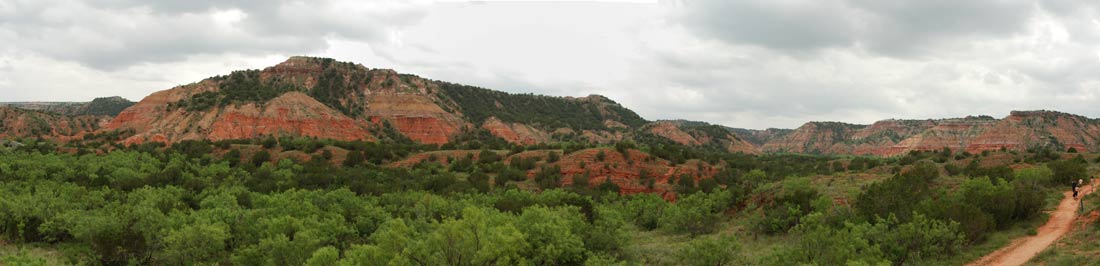
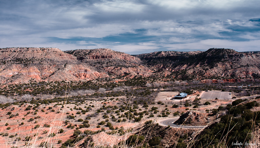
Palo Duro Canyon

Canyon - Texas Rain
Palo Duro Canyon
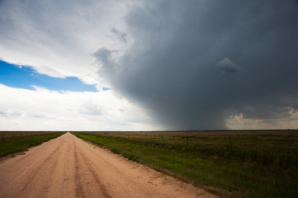
Panhandle shower

IMG_3124-HDR.jpg
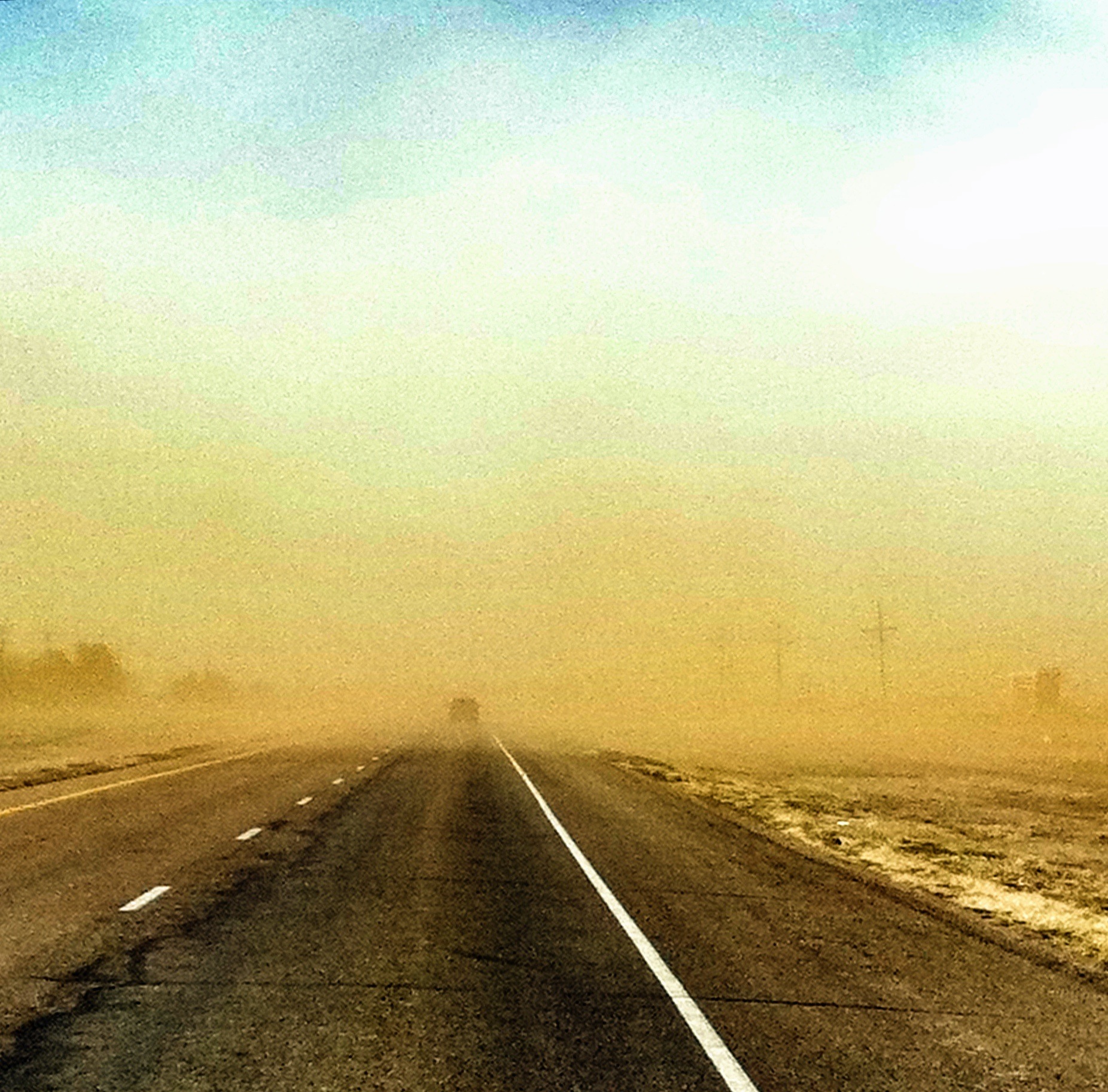
Wind and Sand Storm in Texas

Canyon - K 63
TX 217 Tree

Canyon - A lot of Pylons

Texas plains
Texas plains

West Texas A&M University
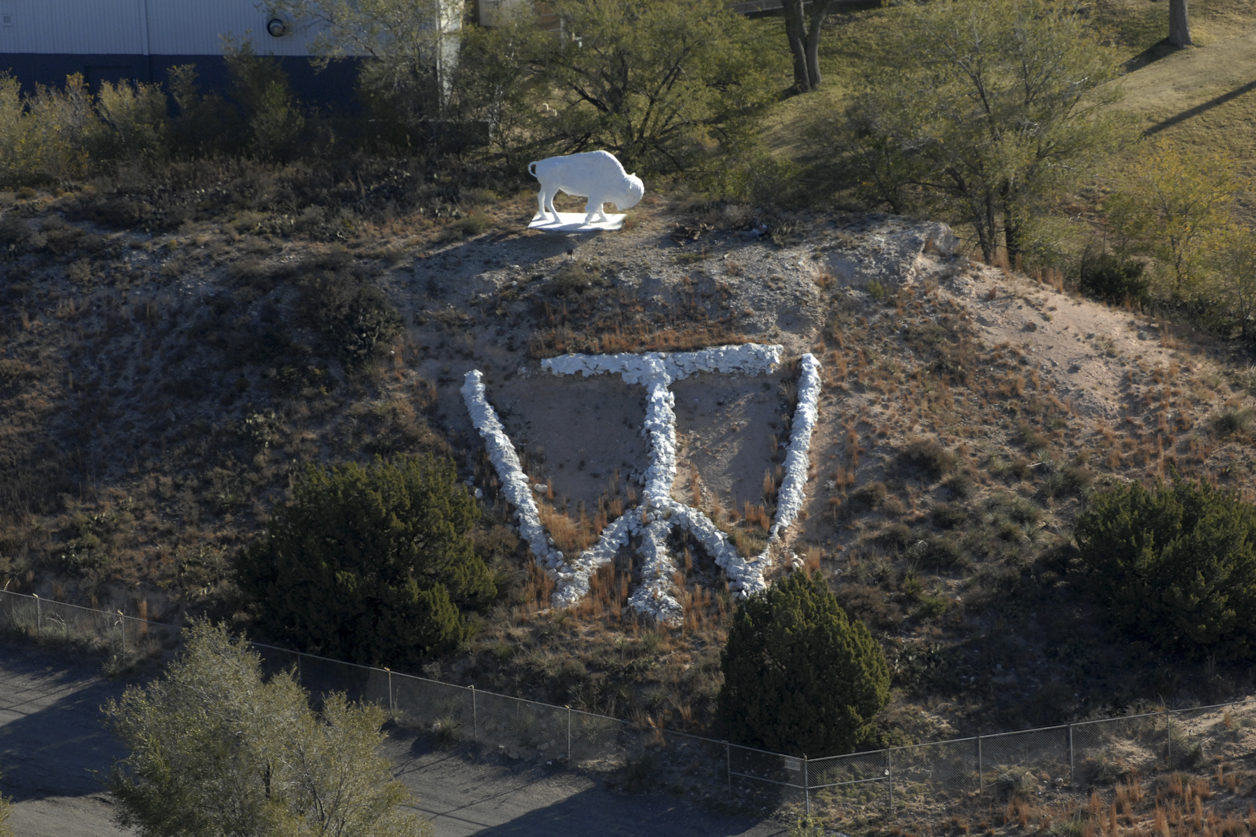
whitebuff-169_300

Canyon - Rain in the Air

Canyon - Red Earth
Under the Canyon

Canyon - Dark Weather Road

It's no Seawall run, but it sure beats the humidity.

Ozymandias at sunrise
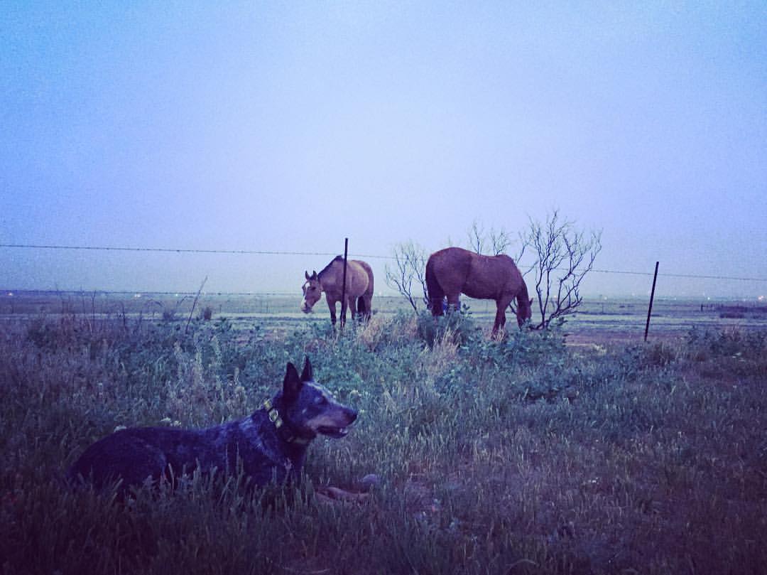
Home on the range. Dusk on a cold, misty, May night in the Texas panhandle. . . #blueheeler #homeontherange #horses #dusk #misty #texaspanhandle #roadtrip #iphone6 #njoyphotography #iphonephotography #landscape
Topographic Map of Creekmere Dr, Canyon, TX, USA
Find elevation by address:

Places near Creekmere Dr, Canyon, TX, USA:
13th Avenue
Canyon
1401 1st Ave
24th St, Canyon, TX, USA
West Texas A&m University
22 Canyon Rim Dr
301 Us-60
10399 Gordon Cummings Rd
6301 W Country Club Rd
Plantation Drive
8401 Shady Lake Dr
Nicci Lane
17455 White Wing Rd
Let It Be
15190 Penny Lane
Penny Lane
13601 S Western St
441 W Plantation Rd
Randall County
310 Prairie Point
Recent Searches:
- Elevation of 15th Ave SE, St. Petersburg, FL, USA
- Elevation of Beall Road, Beall Rd, Florida, USA
- Elevation of Leguwa, Nepal
- Elevation of County Rd, Enterprise, AL, USA
- Elevation of Kolchuginsky District, Vladimir Oblast, Russia
- Elevation of Shustino, Vladimir Oblast, Russia
- Elevation of Lampiasi St, Sarasota, FL, USA
- Elevation of Elwyn Dr, Roanoke Rapids, NC, USA
- Elevation of Congressional Dr, Stevensville, MD, USA
- Elevation of Bellview Rd, McLean, VA, USA