Elevation of Plantation Drive, Plantation Dr, Texas, USA
Location: United States > Texas > Randall County > Canyon >
Longitude: -101.89362
Latitude: 35.0196589
Elevation: 1098m / 3602feet
Barometric Pressure: 89KPa
Elevation Map:
Satellite Map:
Related Photos:

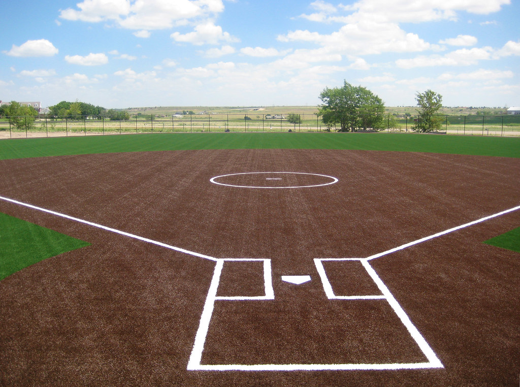
Google Street View - Pan-American Trek - Wingate Inc., Amarillo, Texas

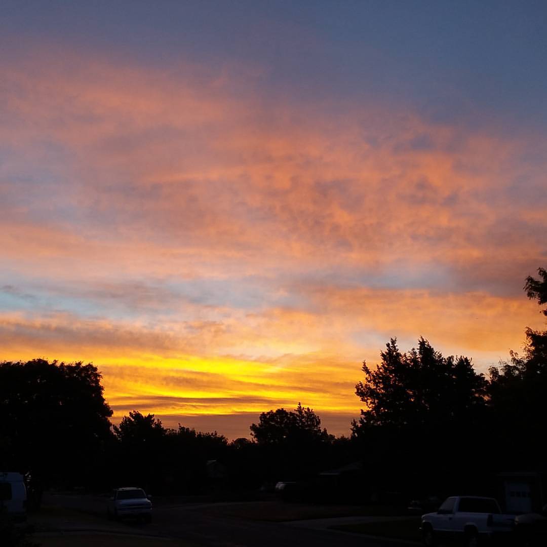
Sunset Insanity 2

Cemetery Angel
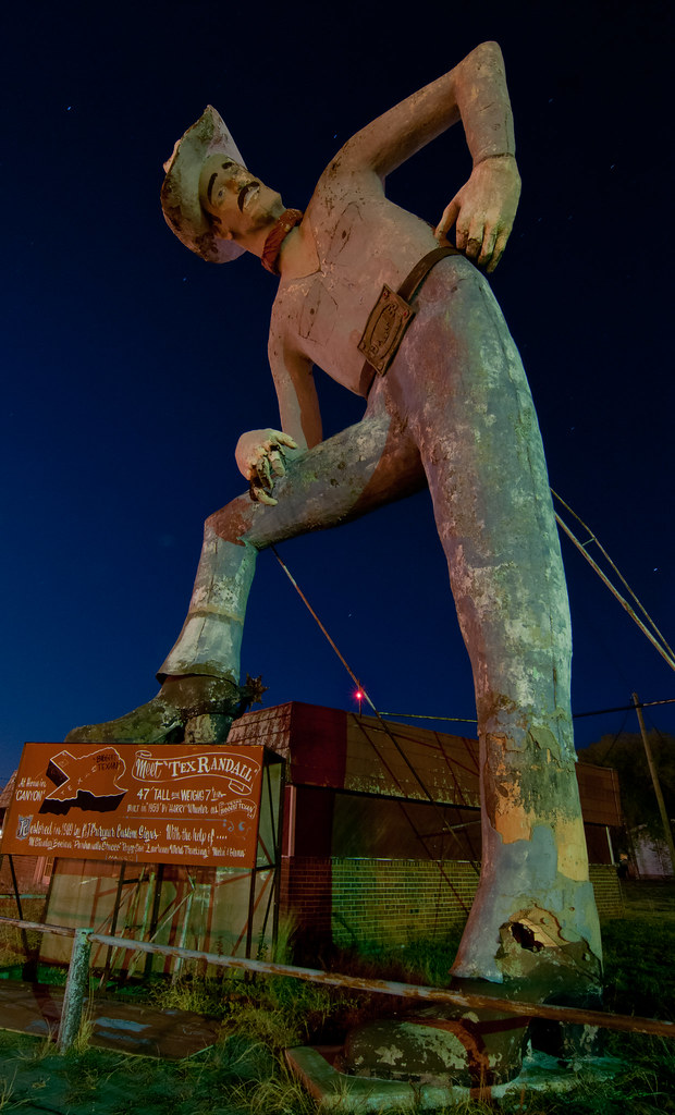
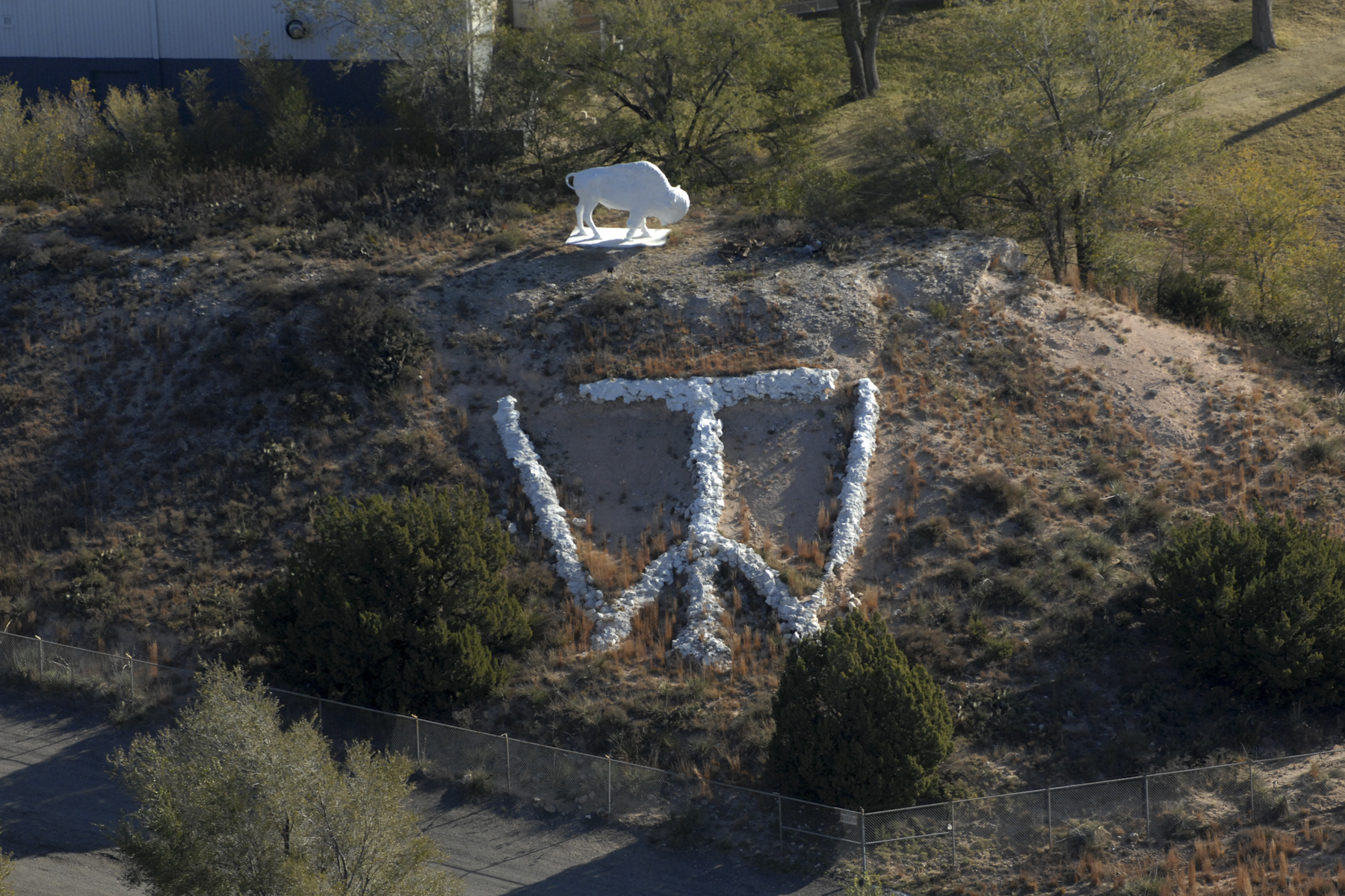
Tall Tex
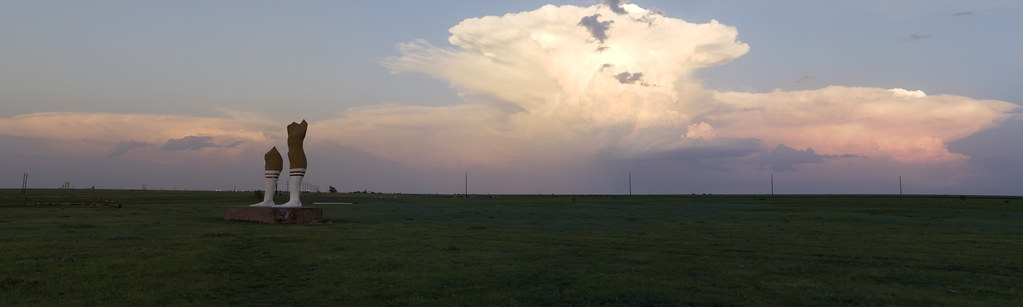
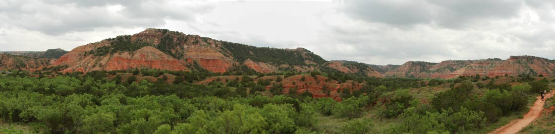
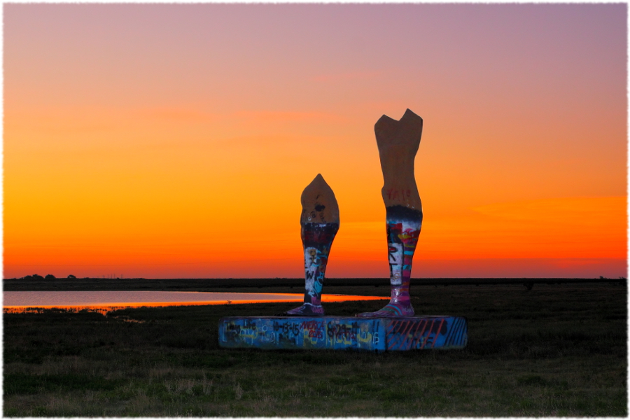
The Anvil and the Legs (panoramic)
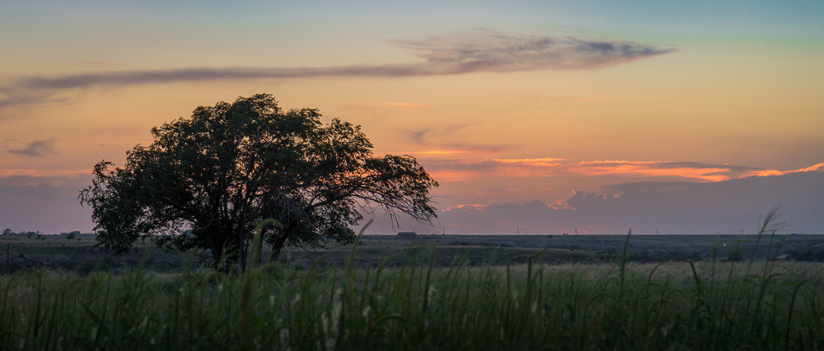
Typical view of northwestern Texas

coffee cup mug
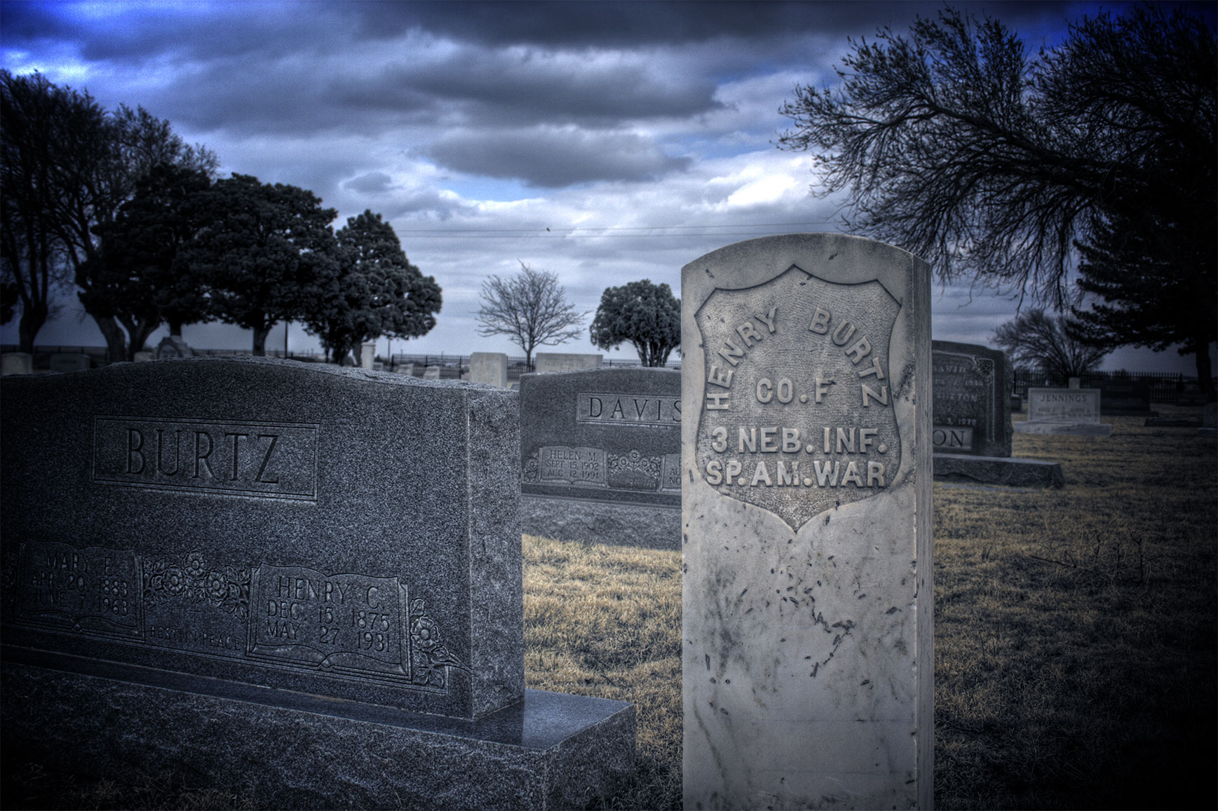
Spanish American War 2

Amarillo, Texas, from a Plane
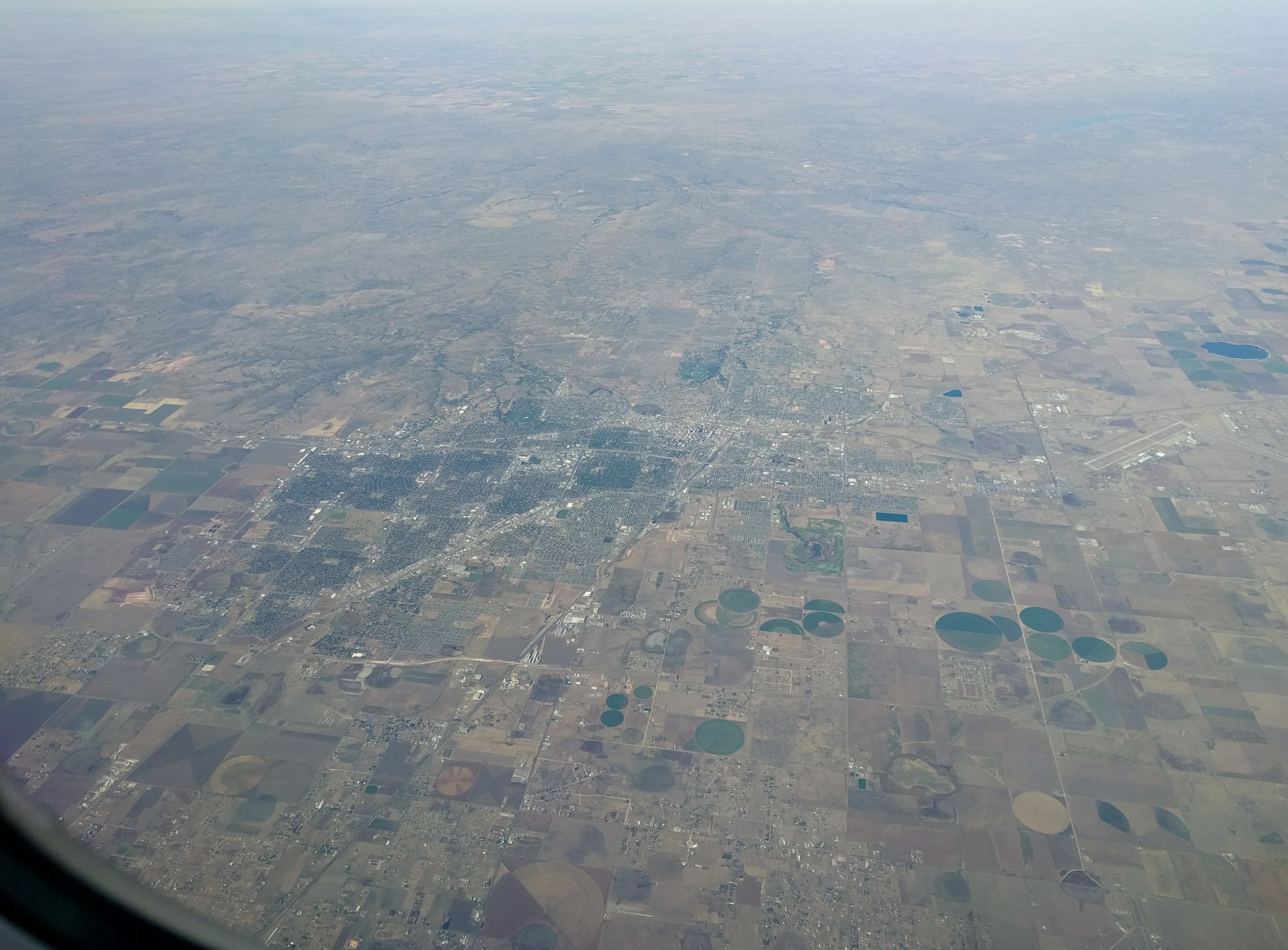
Amarillo, Texas, from a Plane
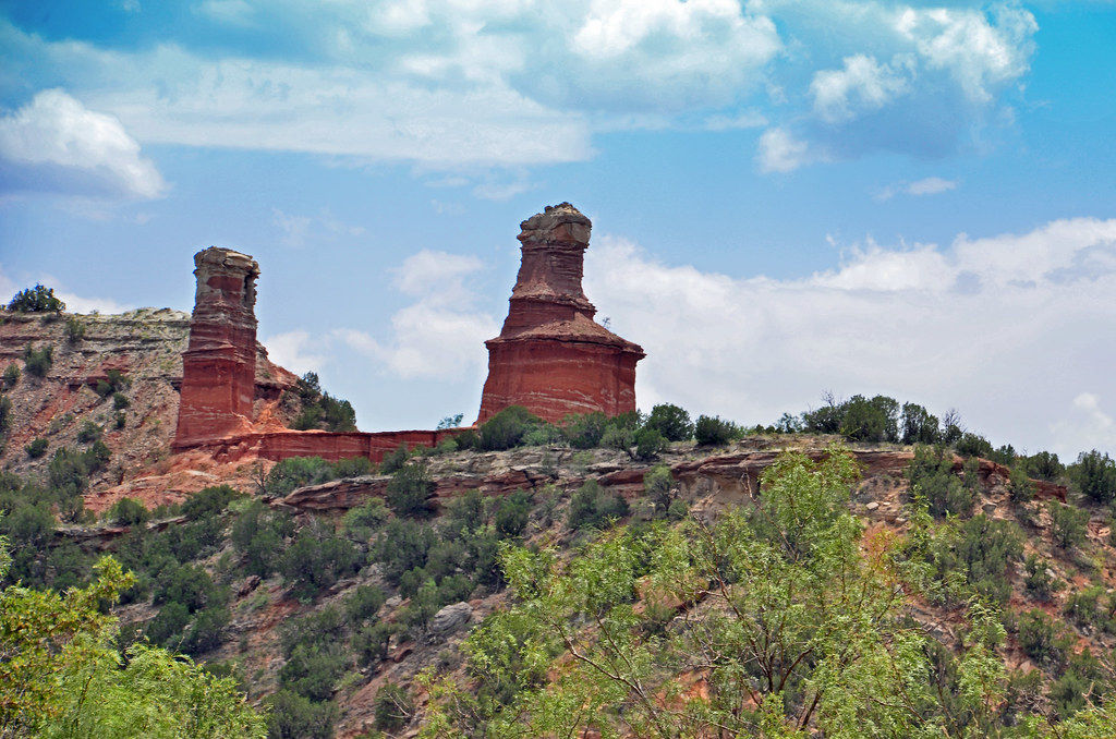
The Lighthouse

Canyon - K 63
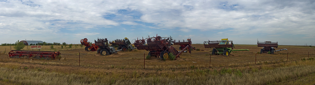
Combine City Panorama
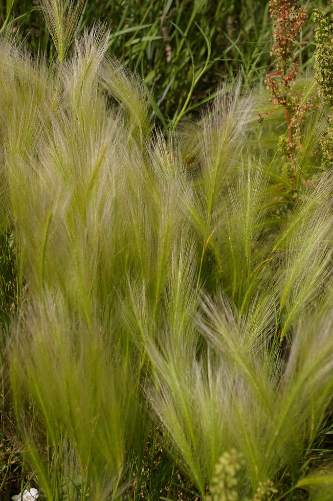
Soft weed 1

Canyon - Dead End

Canyon - A lot of Pylons
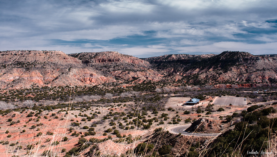
Palo Duro Canyon

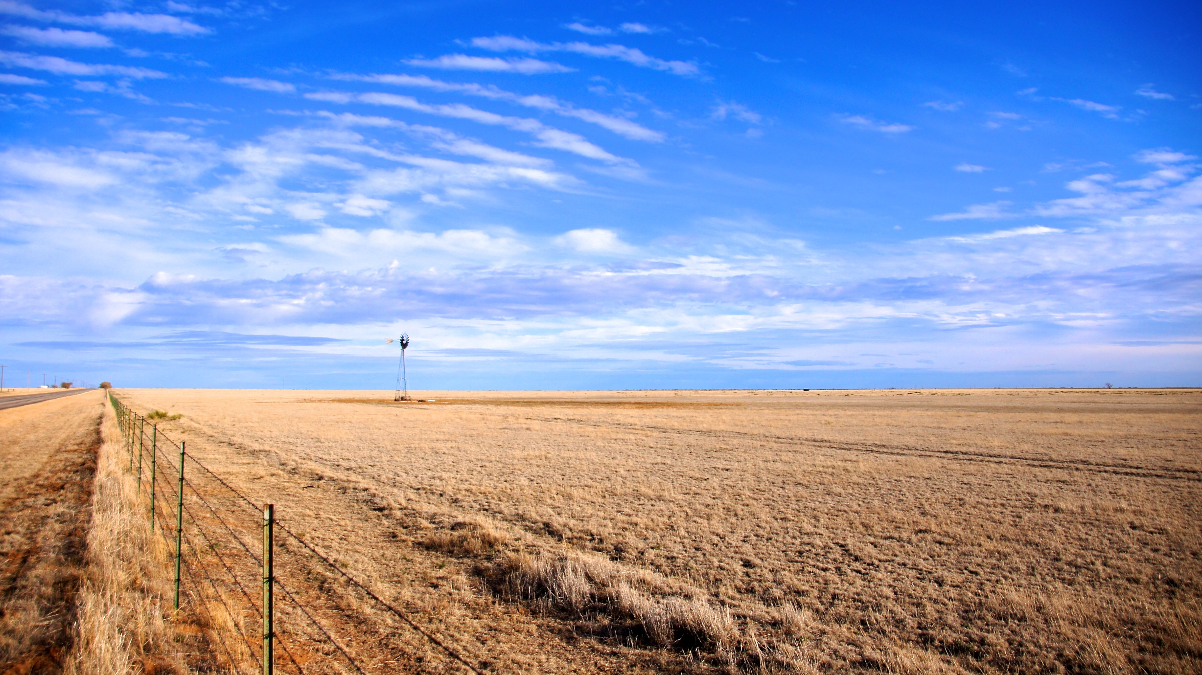
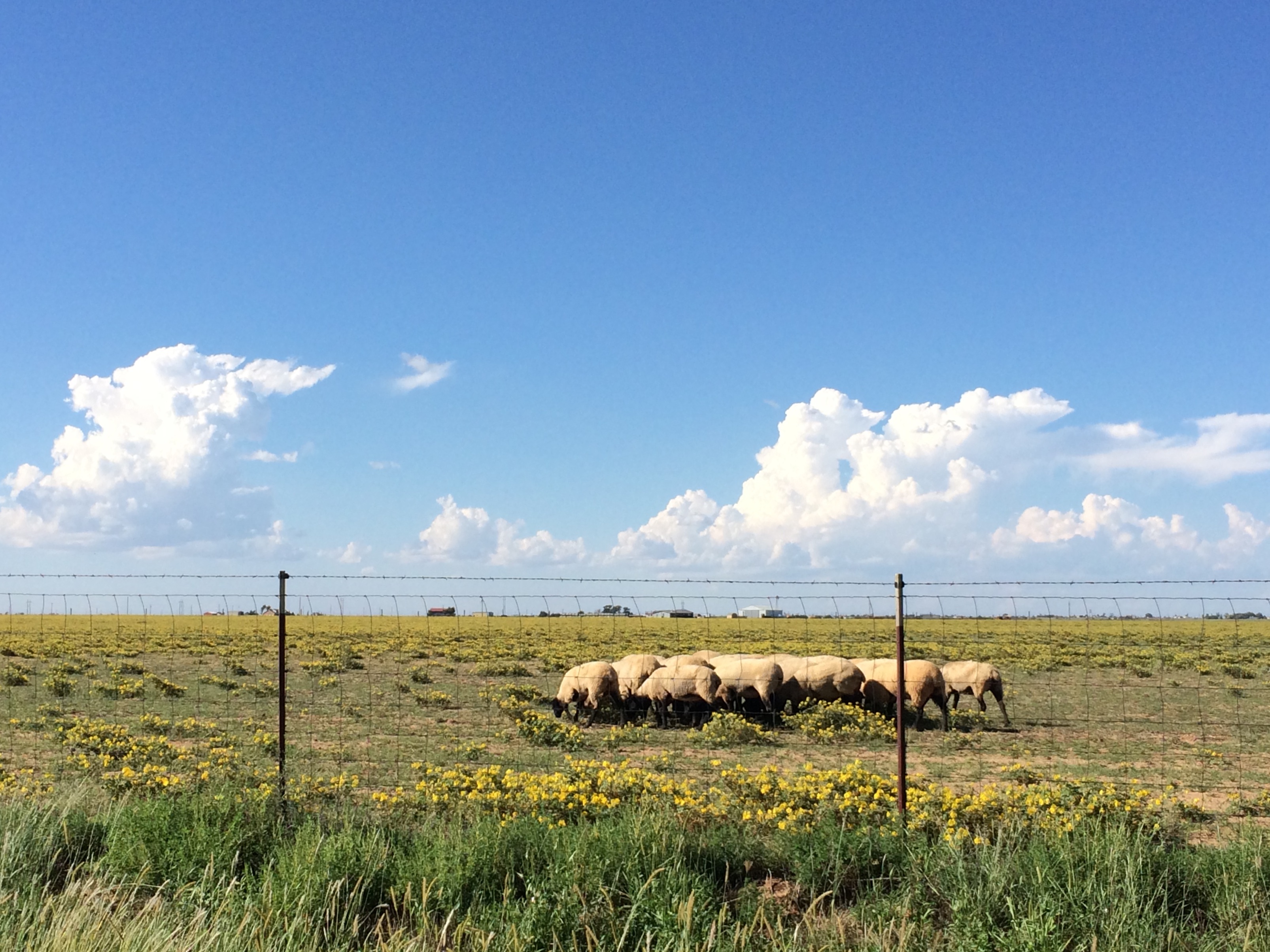
Texas plains

Canyon - Texas Rain

Canyon - Red Earth
Under the Canyon
Texas plains
#Binni???? #Binni❤️ #Binni #binniontheroad #nycdog #nycrottweiler #brooklyndog #brooklynrottweiler #cameraplus #instadog #instapic #iphonepic #roadtrip #rottweiler #rottweilerlove #rottweilerofbrooklyn #rottweilersofinstagram #dog #dogg
West Texas A&M University
whitebuff-169_300

It's no Seawall run, but it sure beats the humidity.
Ozymandias at sunrise
TX Palo Duro Canyon Sept 2016 17114
This beautiful fall sunrise lead to 90 degree temps in the afternoon. I am definitely a summer person but 90°F on Oct. 29 is a little much!
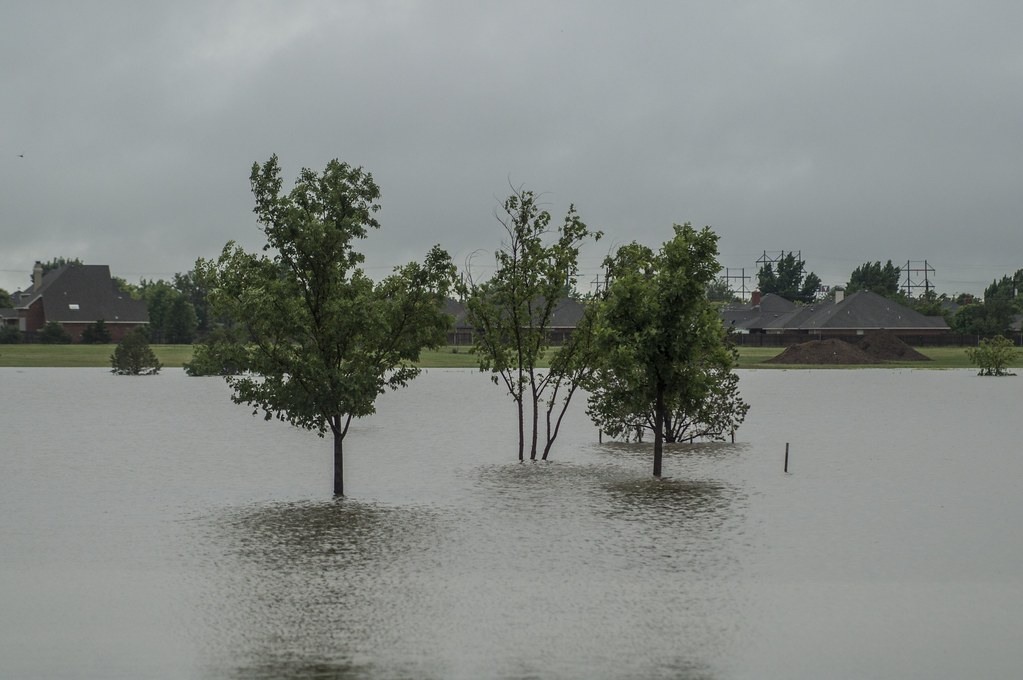
McDonald Lake Flooding
Topographic Map of Plantation Drive, Plantation Dr, Texas, USA
Find elevation by address:

Places near Plantation Drive, Plantation Dr, Texas, USA:
6301 W Country Club Rd
8401 Shady Lake Dr
West Texas A&m University
22 Canyon Rim Dr
17455 White Wing Rd
13601 S Western St
1401 1st Ave
15190 Penny Lane
Penny Lane
Let It Be
301 Us-60
441 W Plantation Rd
310 Prairie Point
131 Ranch Pkwy
Bayshore Dr, Amarillo, TX, USA
Lake Tanglewood
6400 Canyon Dr
6021 Canyon Dr
6404 Ridgewood Dr
Recent Searches:
- Elevation of Leguwa, Nepal
- Elevation of County Rd, Enterprise, AL, USA
- Elevation of Kolchuginsky District, Vladimir Oblast, Russia
- Elevation of Shustino, Vladimir Oblast, Russia
- Elevation of Lampiasi St, Sarasota, FL, USA
- Elevation of Elwyn Dr, Roanoke Rapids, NC, USA
- Elevation of Congressional Dr, Stevensville, MD, USA
- Elevation of Bellview Rd, McLean, VA, USA
- Elevation of Stage Island Rd, Chatham, MA, USA
- Elevation of Shibuya Scramble Crossing, 21 Udagawacho, Shibuya City, Tokyo -, Japan