Elevation of Canyon, TX, USA
Location: United States > Texas > Randall County >
Longitude: -101.91880
Latitude: 34.9803342
Elevation: 1080m / 3543feet
Barometric Pressure: 89KPa
Elevation Map:
Satellite Map:
Related Photos:
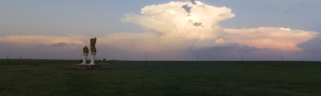
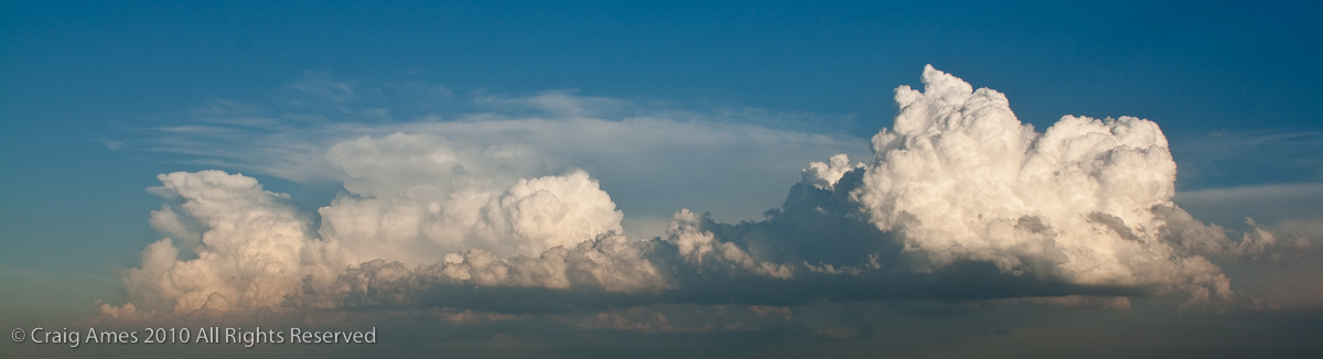
The Anvil and the Legs (panoramic)

Cemetery Angel
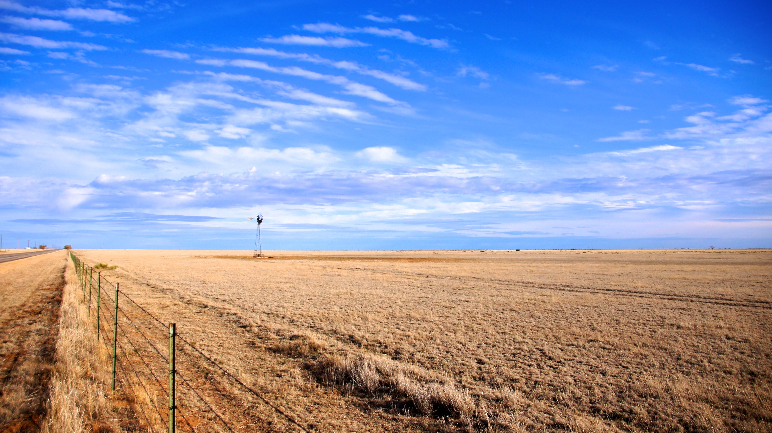
Typical view of northwestern Texas
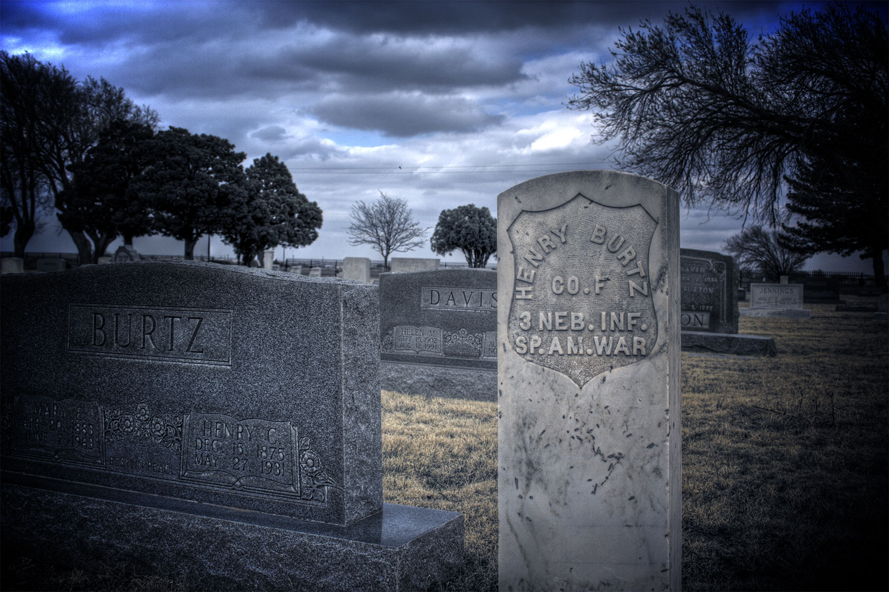
Spanish American War 2
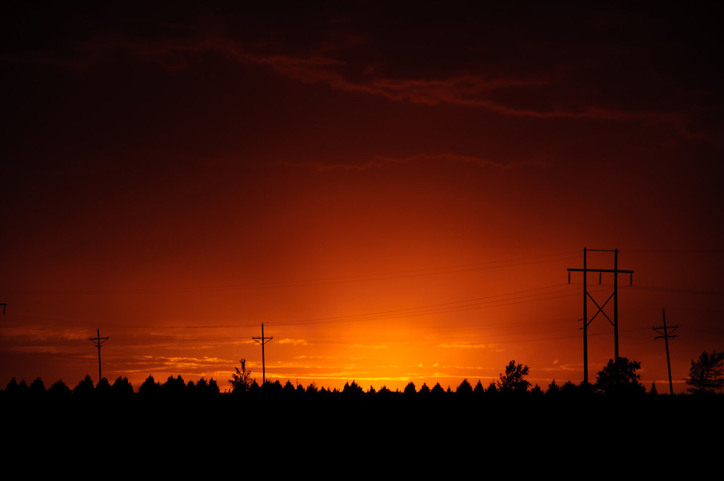
Sunset Insanity 1

Sunset Insanity 2

Ducks in a Row
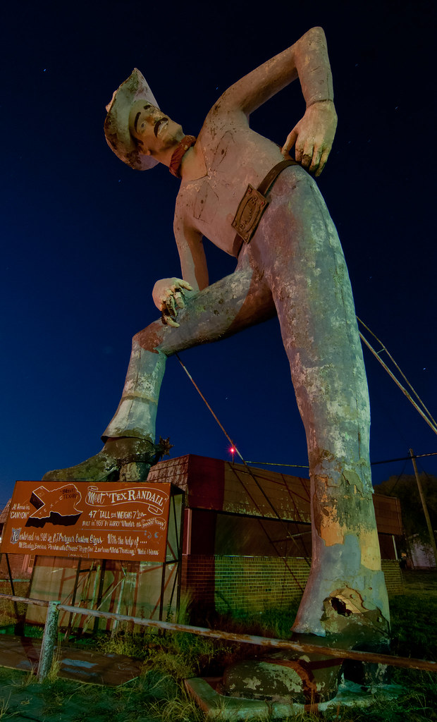
Tall Tex

Tex Randall
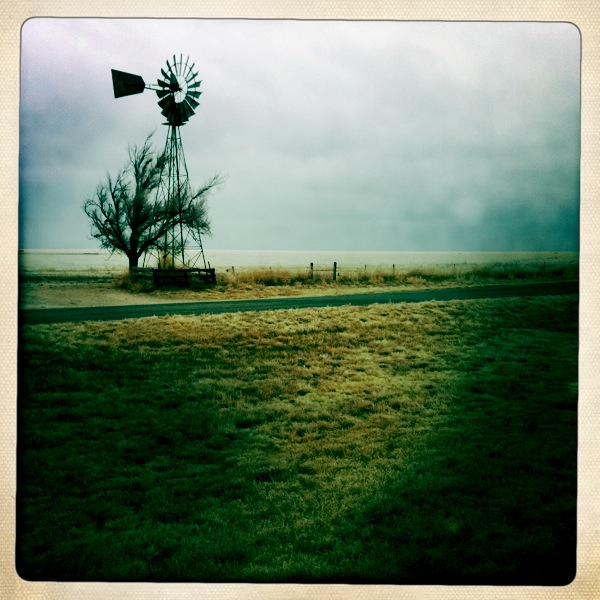
West Texas Windmill

Canyon - Dead End
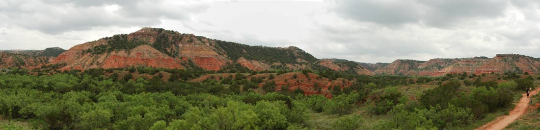
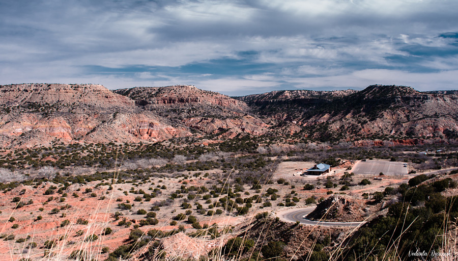
Palo Duro Canyon

Canyon - A lot of Pylons

West Texas Windmill in the Winter

Canyon - K 63

Texas plains
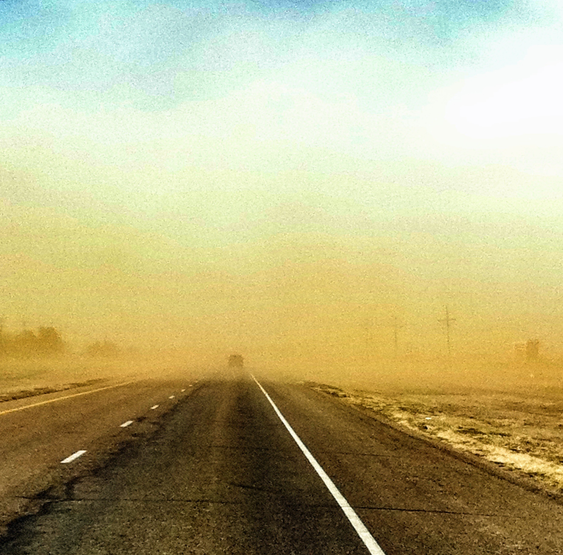
Wind and Sand Storm in Texas
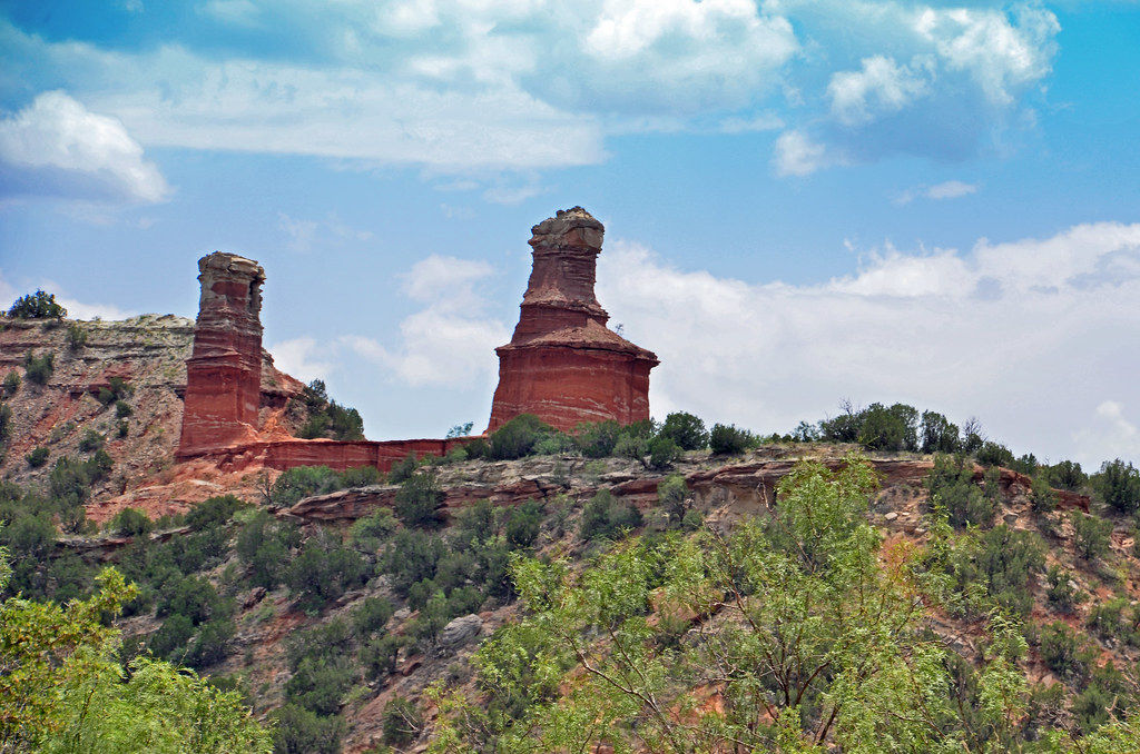
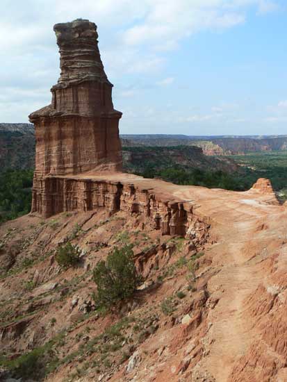
The Lighthouse
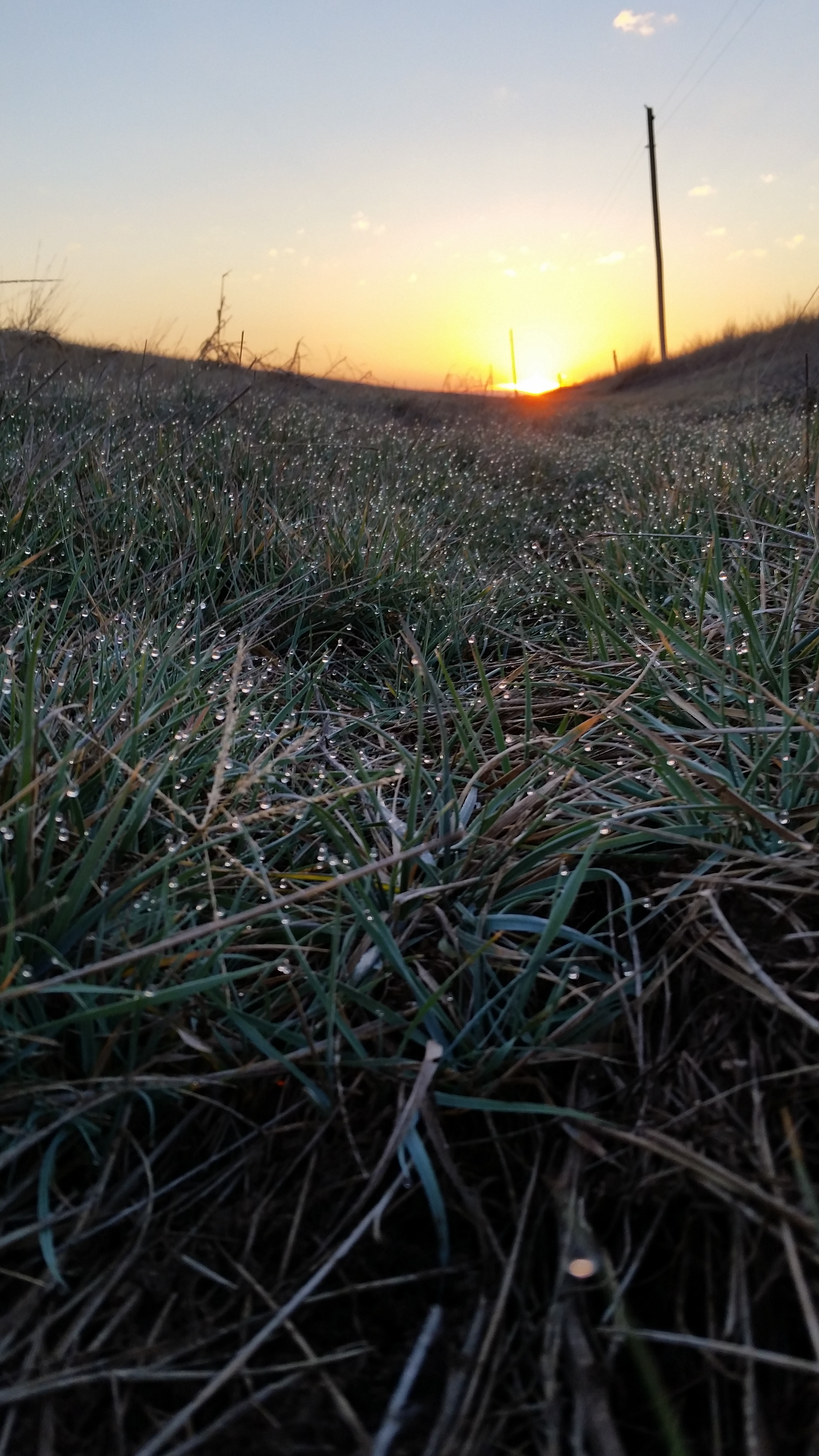
dew covered sunrise
Under the Canyon
20150516 151729 1SL5

Natural Lighthouse
Palo Duro Canyon

Canyon - Texas Rain
20150516 150630 1SL5
End of the Line
Texas plains
I love West Texas for this

West Texas A&M University
Topographic Map of Canyon, TX, USA
Find elevation by address:

Places in Canyon, TX, USA:
Places near Canyon, TX, USA:
24th St, Canyon, TX, USA
West Texas A&m University
1701 Creekmere Dr
1401 1st Ave
13th Avenue
22 Canyon Rim Dr
301 Us-60
6301 W Country Club Rd
10399 Gordon Cummings Rd
Plantation Drive
Nicci Lane
8401 Shady Lake Dr
17455 White Wing Rd
15190 Penny Lane
Let It Be
Penny Lane
13601 S Western St
441 W Plantation Rd
310 Prairie Point
Randall County
Recent Searches:
- Elevation of Leguwa, Nepal
- Elevation of County Rd, Enterprise, AL, USA
- Elevation of Kolchuginsky District, Vladimir Oblast, Russia
- Elevation of Shustino, Vladimir Oblast, Russia
- Elevation of Lampiasi St, Sarasota, FL, USA
- Elevation of Elwyn Dr, Roanoke Rapids, NC, USA
- Elevation of Congressional Dr, Stevensville, MD, USA
- Elevation of Bellview Rd, McLean, VA, USA
- Elevation of Stage Island Rd, Chatham, MA, USA
- Elevation of Shibuya Scramble Crossing, 21 Udagawacho, Shibuya City, Tokyo -, Japan