Elevation of Cranberry Rd, Pittsville, WI, USA
Location: United States > Wisconsin > Wood County >
Longitude: -90.314005
Latitude: 44.264988
Elevation: 300m / 984feet
Barometric Pressure: 98KPa
Elevation Map:
Satellite Map:
Related Photos:
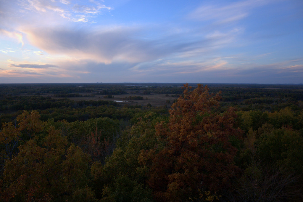
Knapp Mound Fire Tower Panorama, Jackson Co., WI
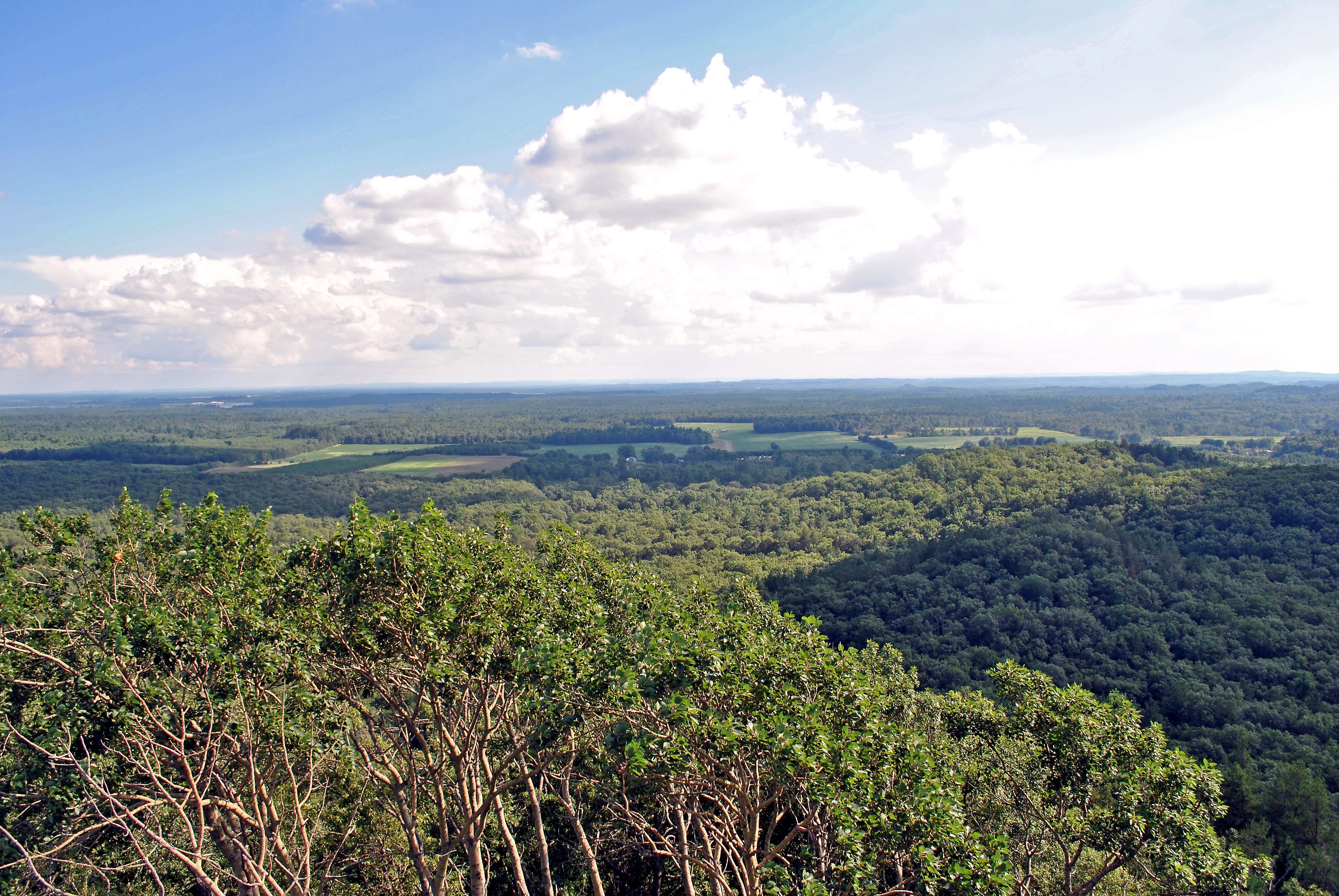
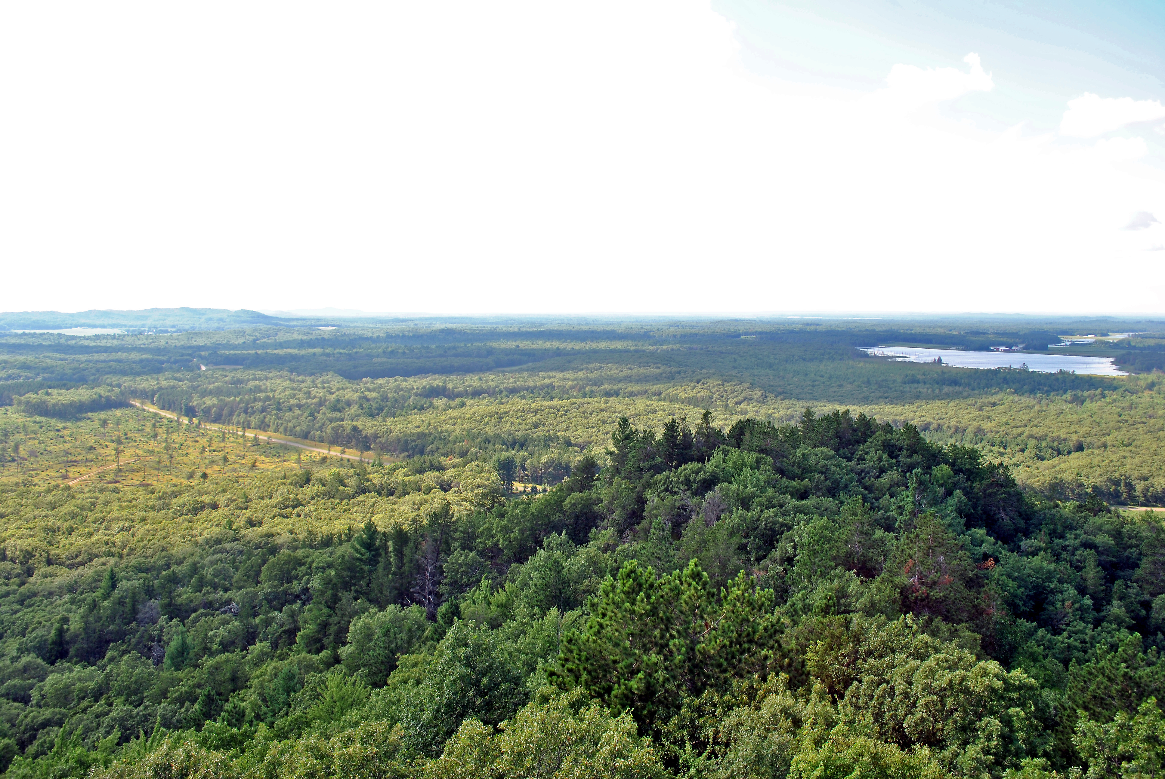
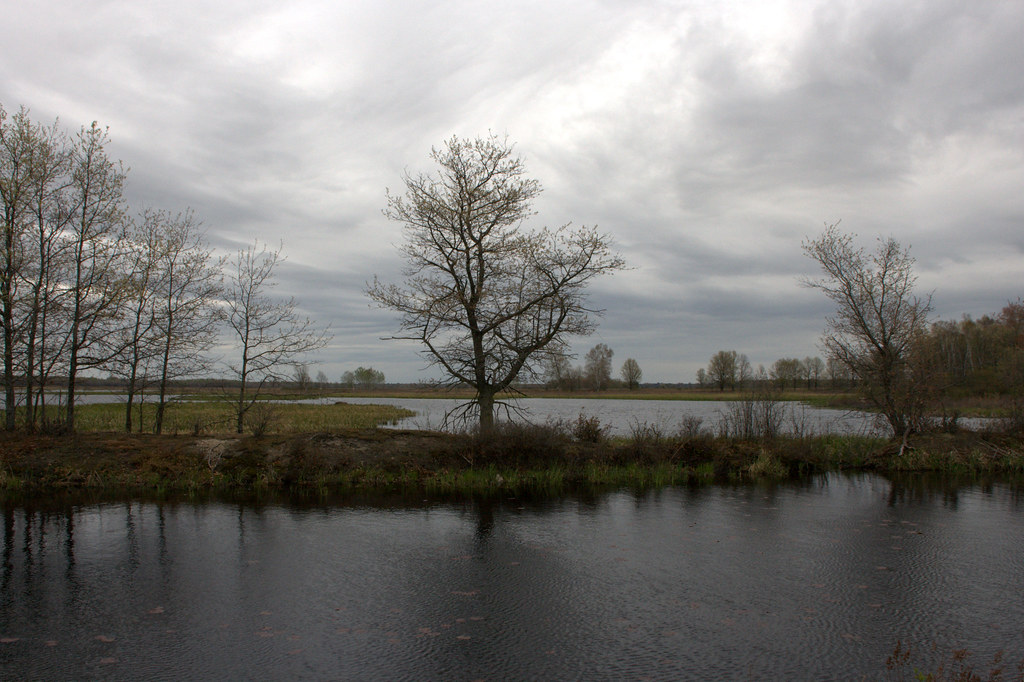
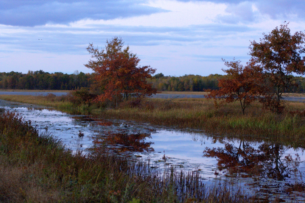
View from the Knapp Mound fire tower, Jackson Co., WI
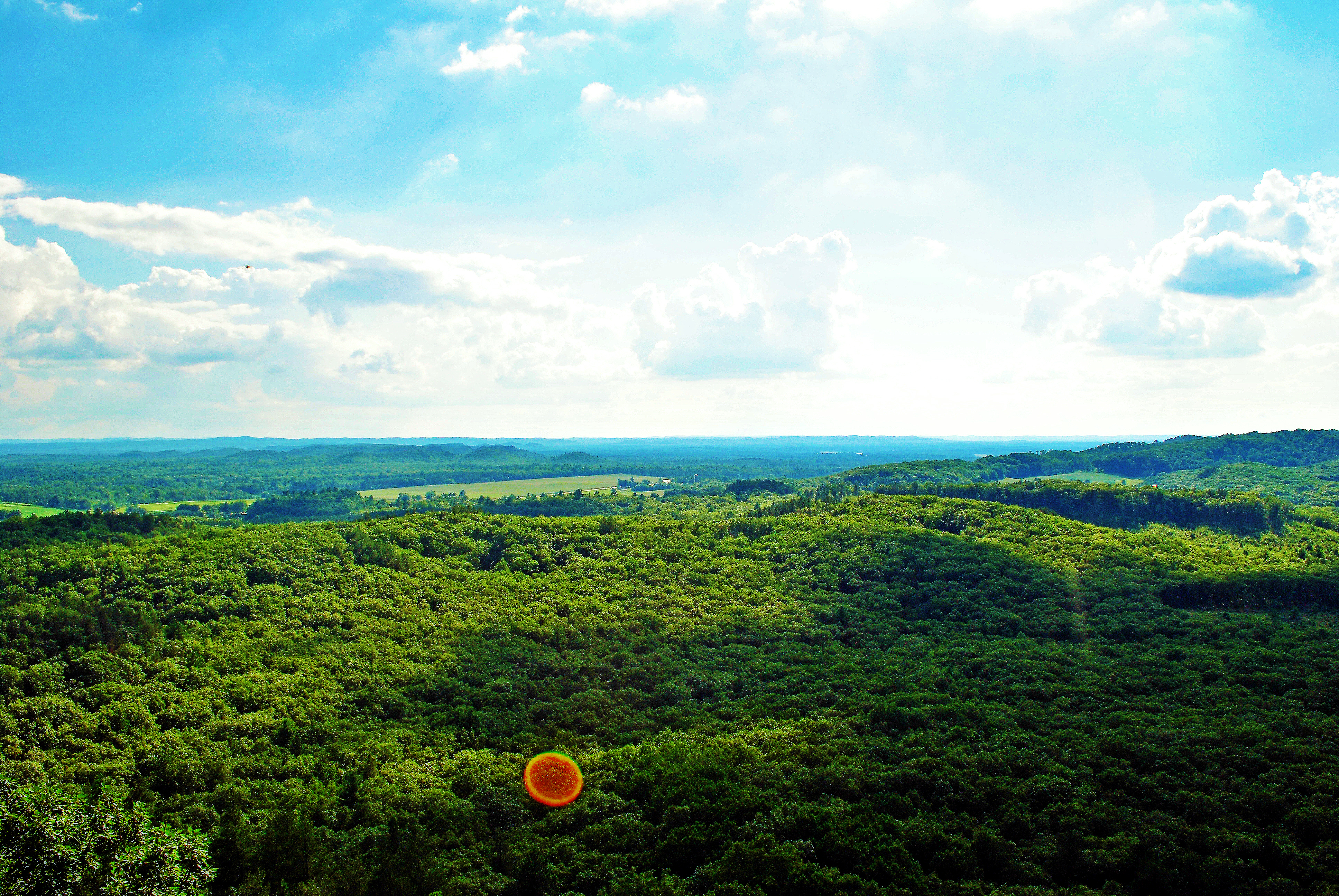
View from the Knapp Mound fire tower, Jackson Co., WI
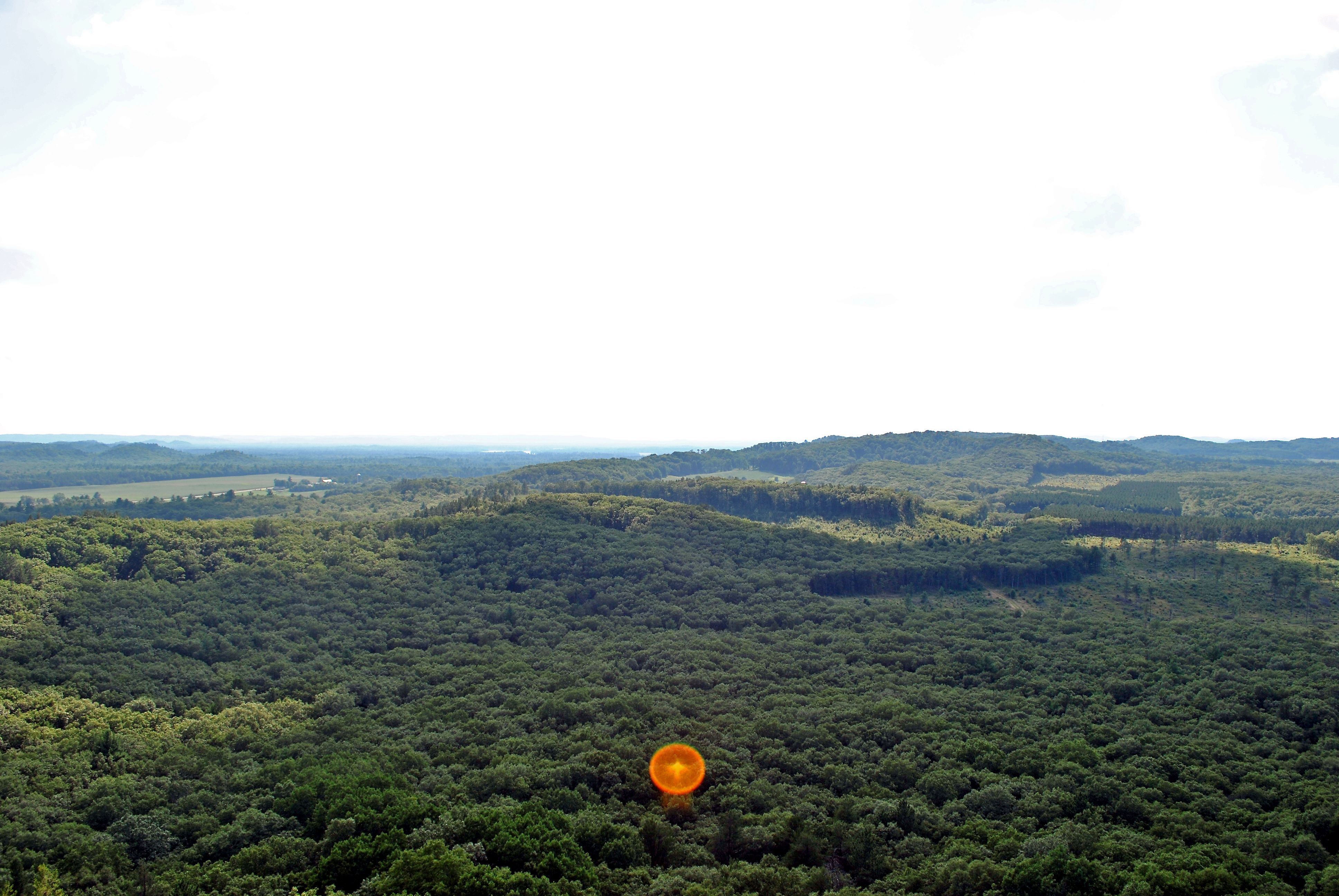
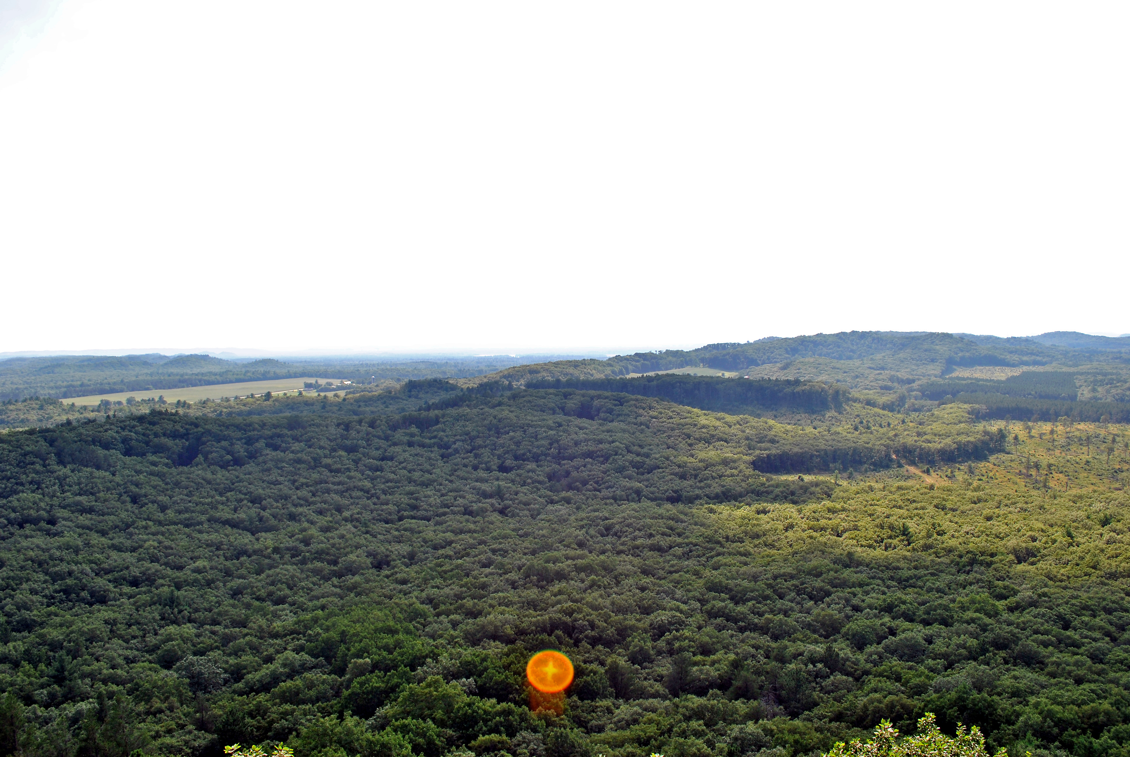
View from the Knapp Mound fire tower, Jackson Co., WI
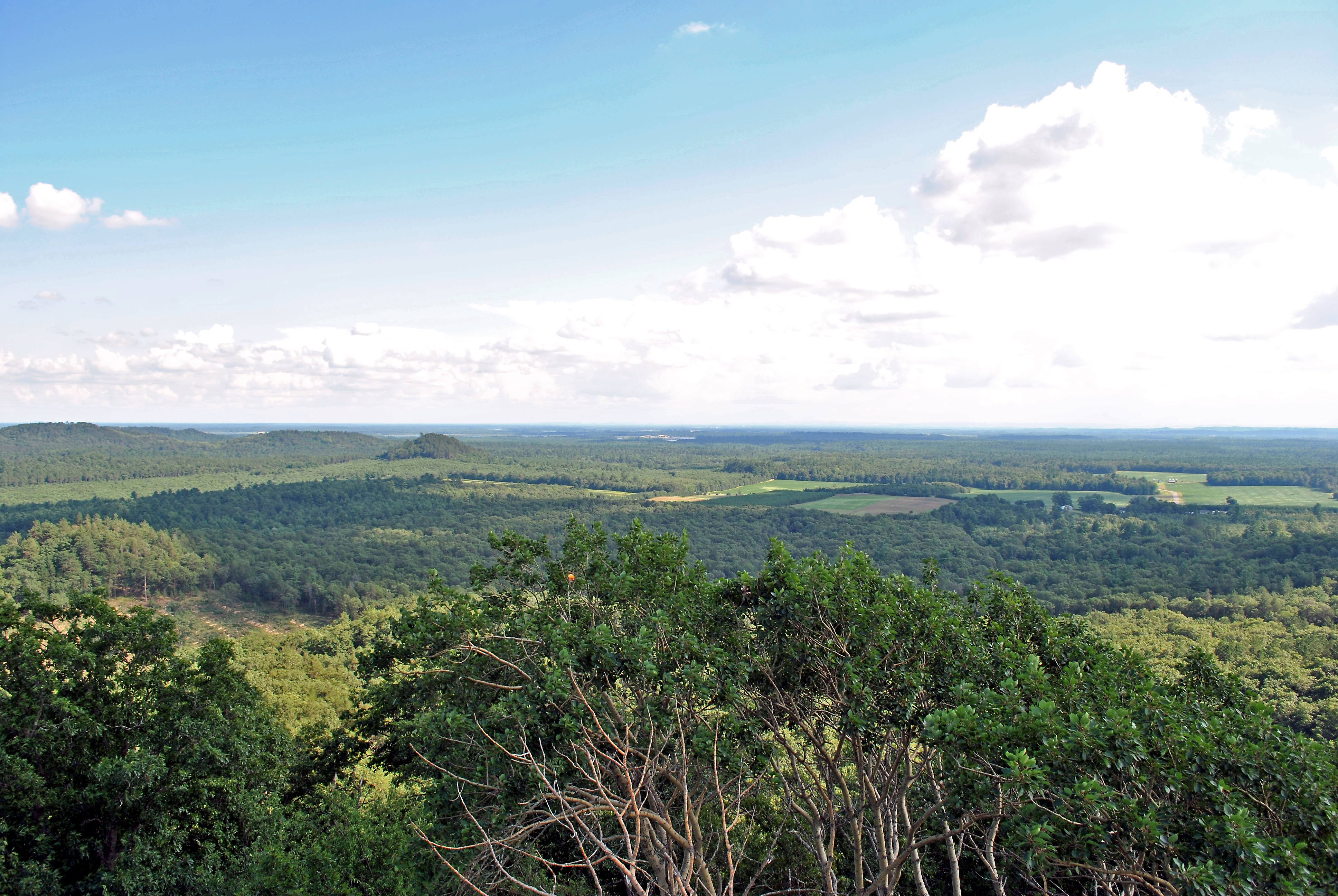
View from the Knapp Mound fire tower, Jackson Co., WI
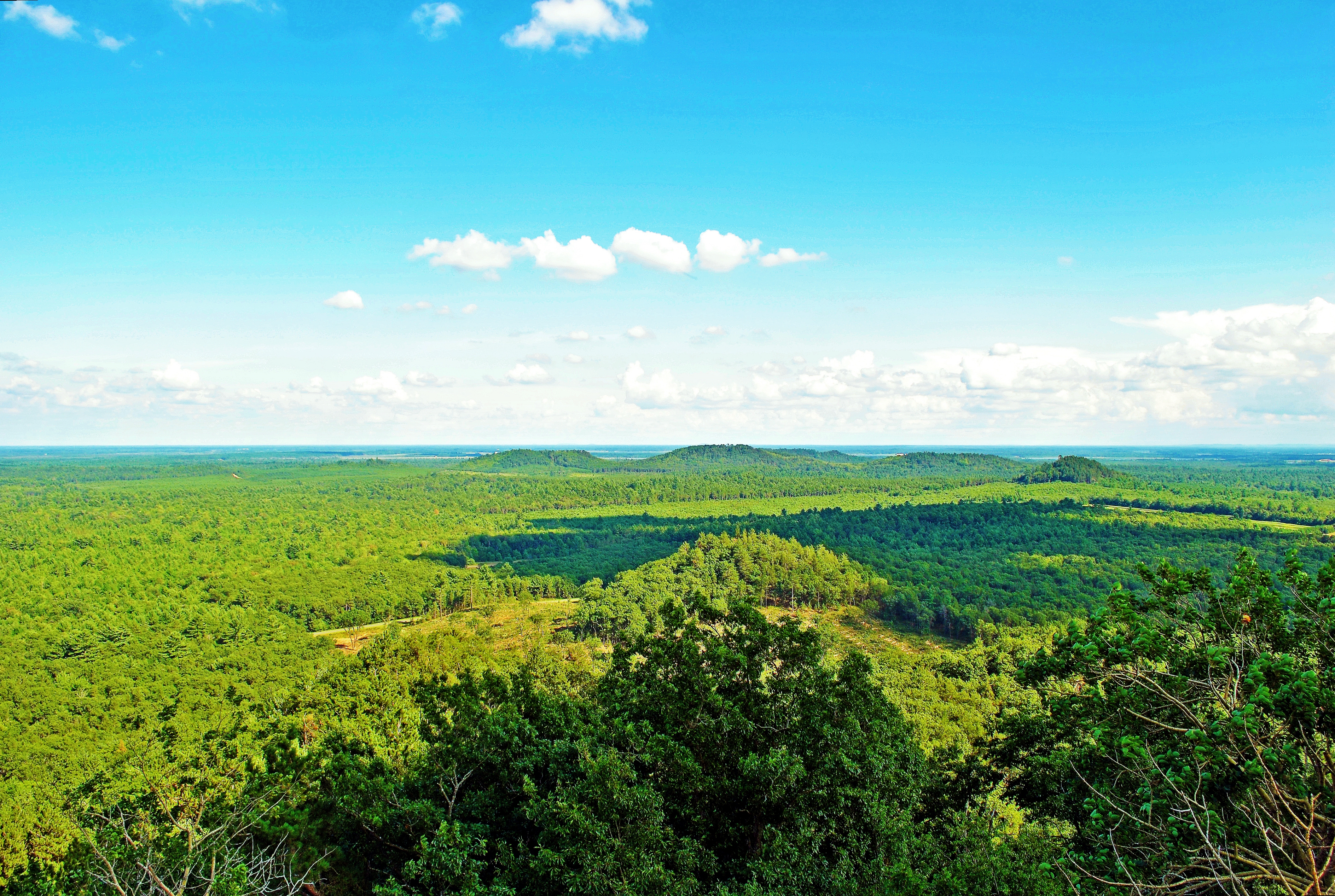
View from the Knapp Mound fire tower, Jackson Co., WI
View from the Knapp Mound fire tower, Jackson Co., WI
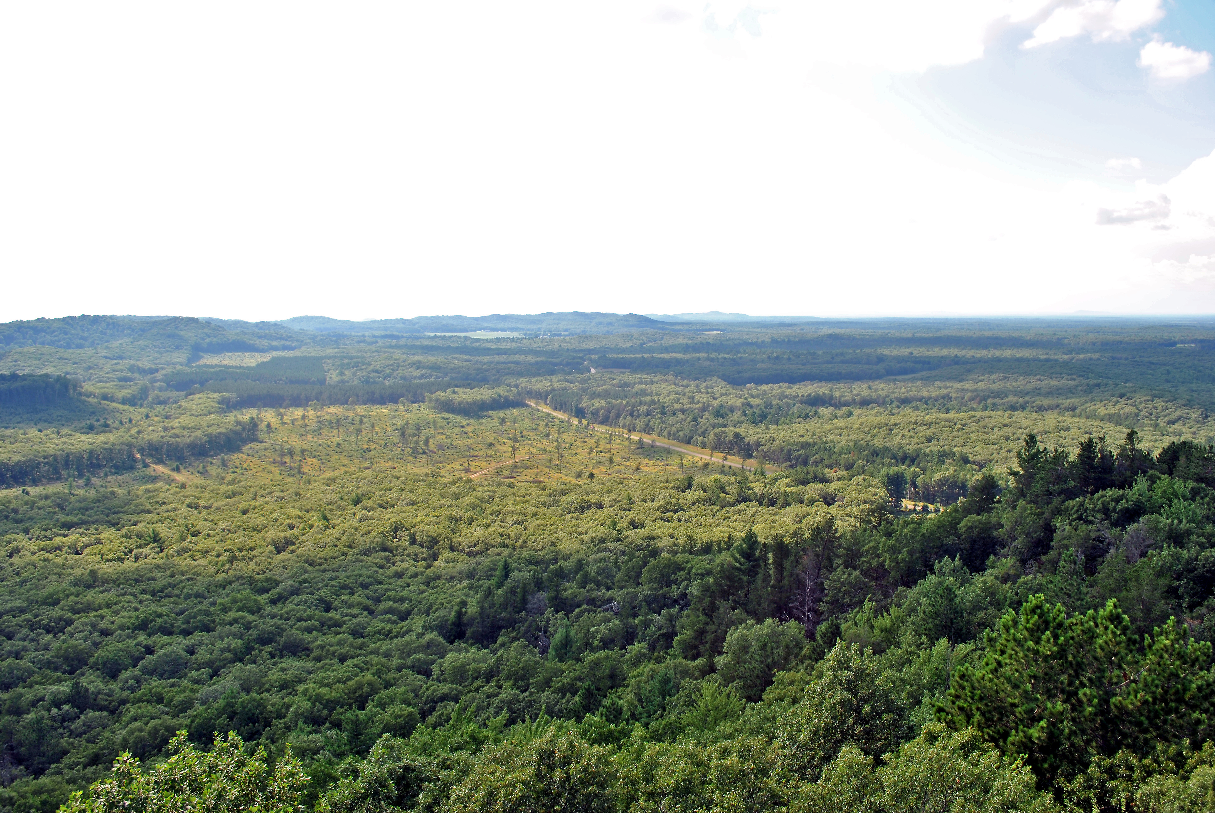
View from the Knapp Mound fire tower, Jackson Co., WI
View from the Knapp Mound fire tower, Jackson Co., WI
View from the Knapp Mound fire tower, Jackson Co., WI
View from the Knapp Mound fire tower, Jackson Co., WI
View from the Knapp Mound fire tower, Jackson Co., WI
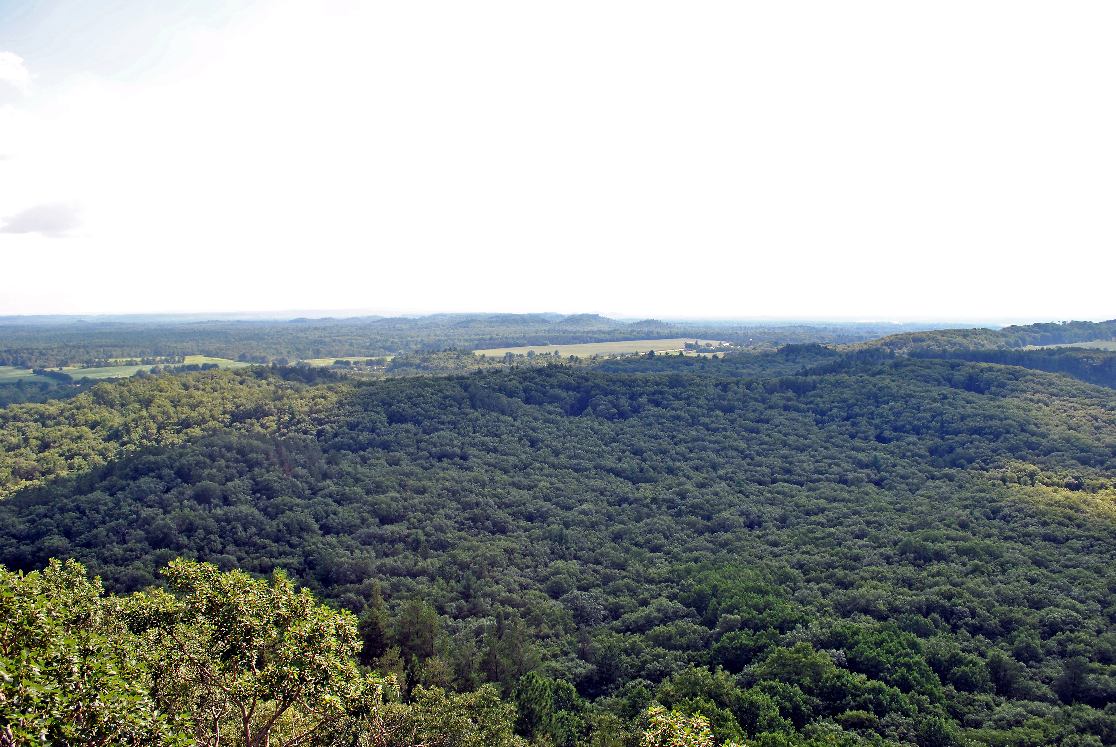
View from the Knapp Mound fire tower, Jackson Co., WI
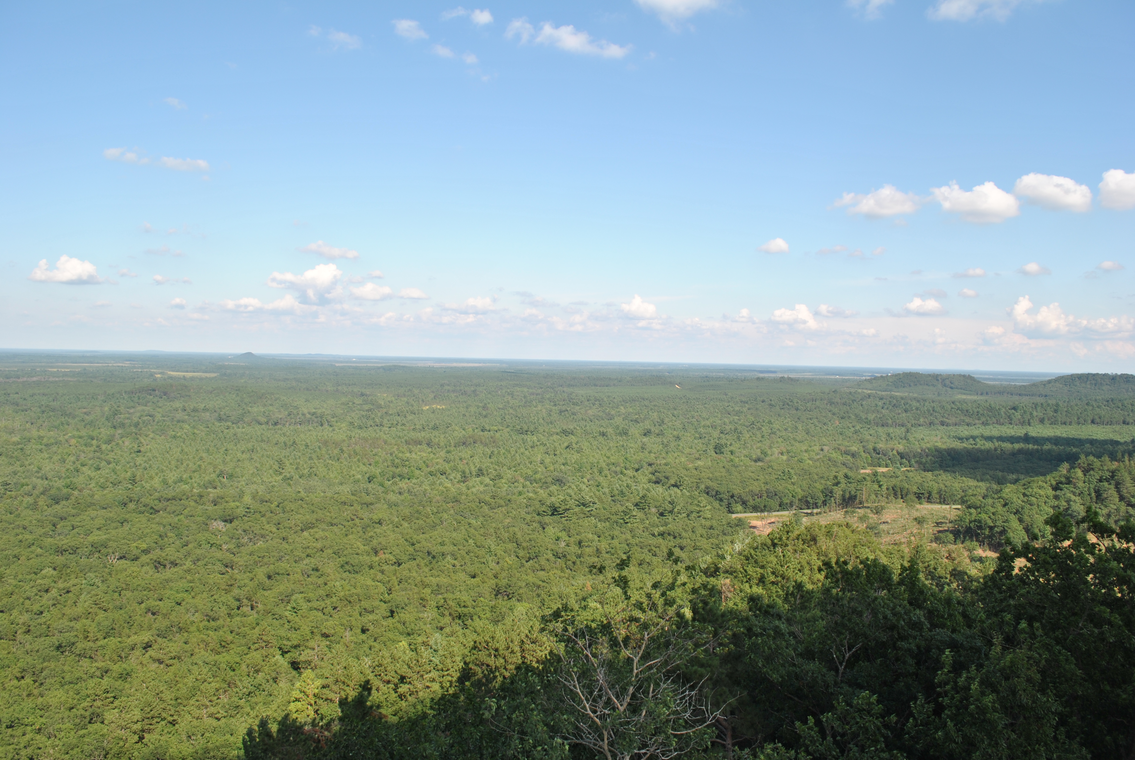
View from the Knapp Mound fire tower, Jackson Co., WI
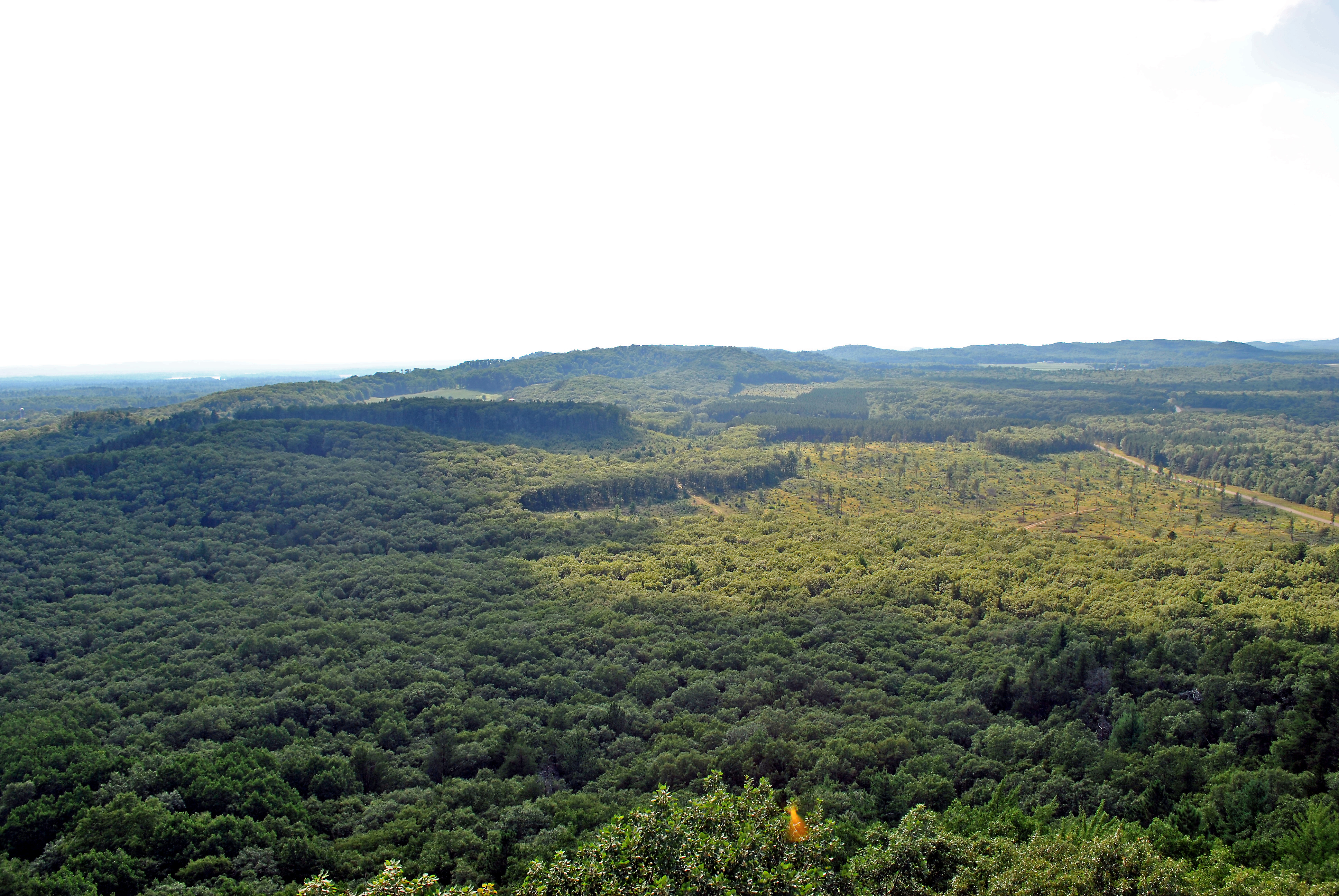
View from the Knapp Mound fire tower, Jackson Co., WI
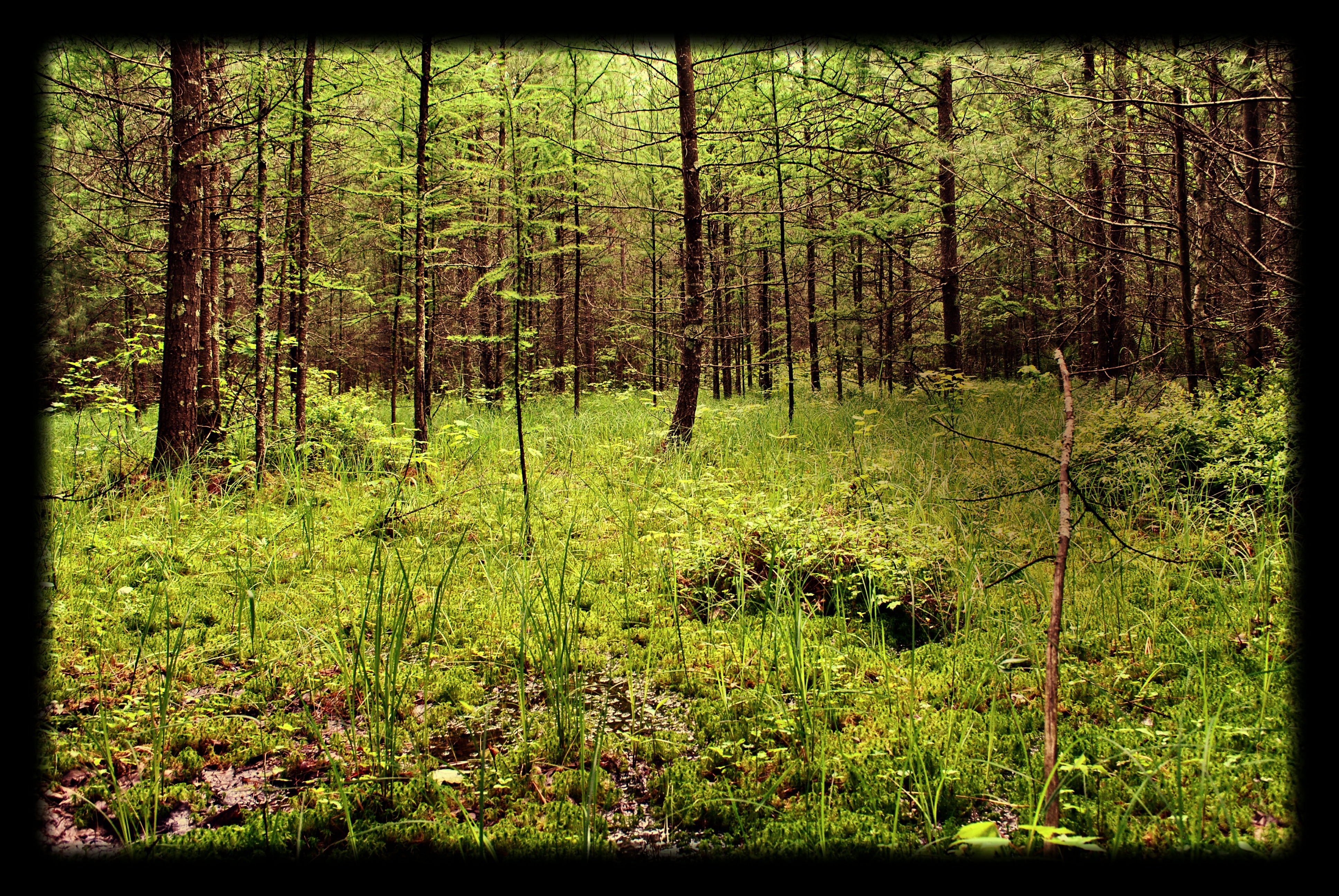
Skunk Creek Woods State Natural Area
Wave Good-Bye To Summer
Botanical Endings
Entry To Autumn
Pefect Ending
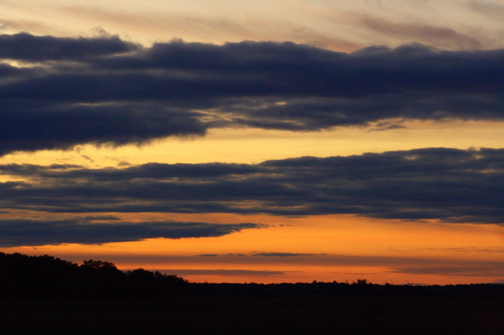
Skyward Drama

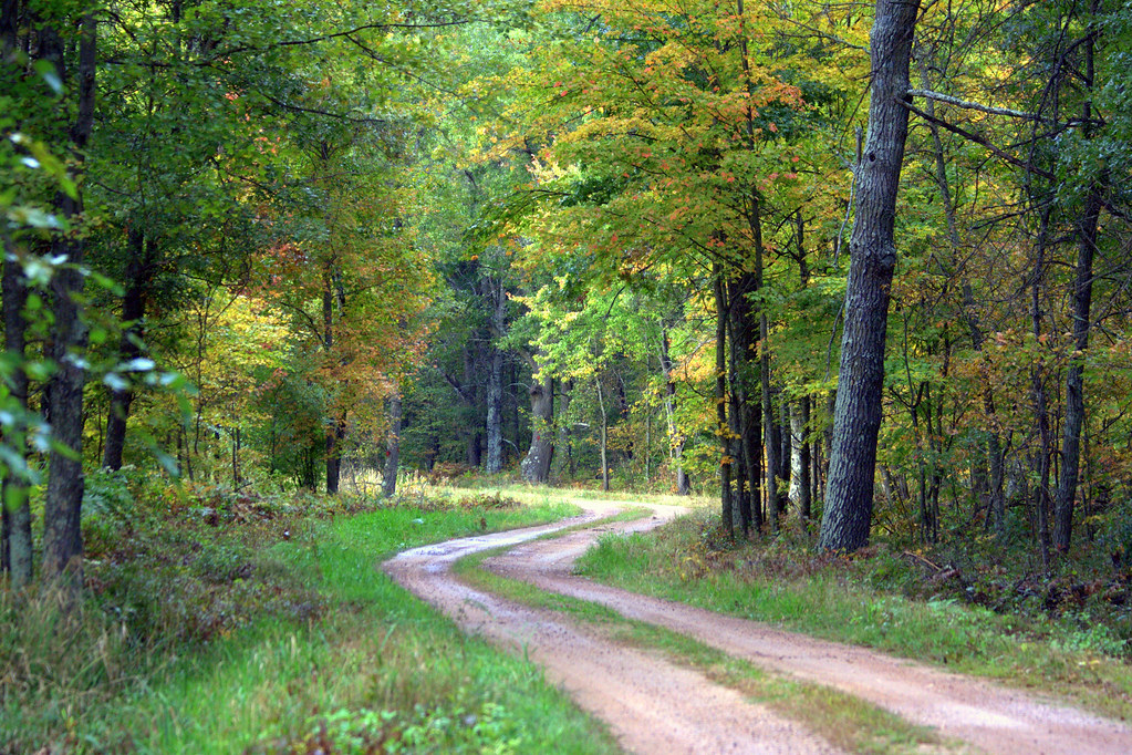
Perfect Day For A Drive In The Woods

No Bounds

Dancing Grass

Standing In The Rain

Mind Calming
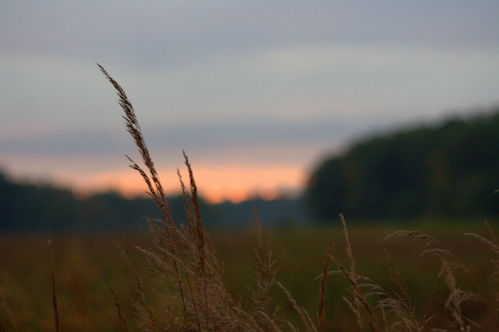
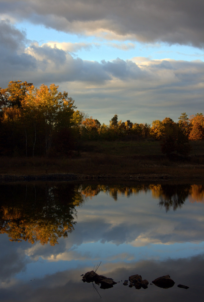
Dusky Moment
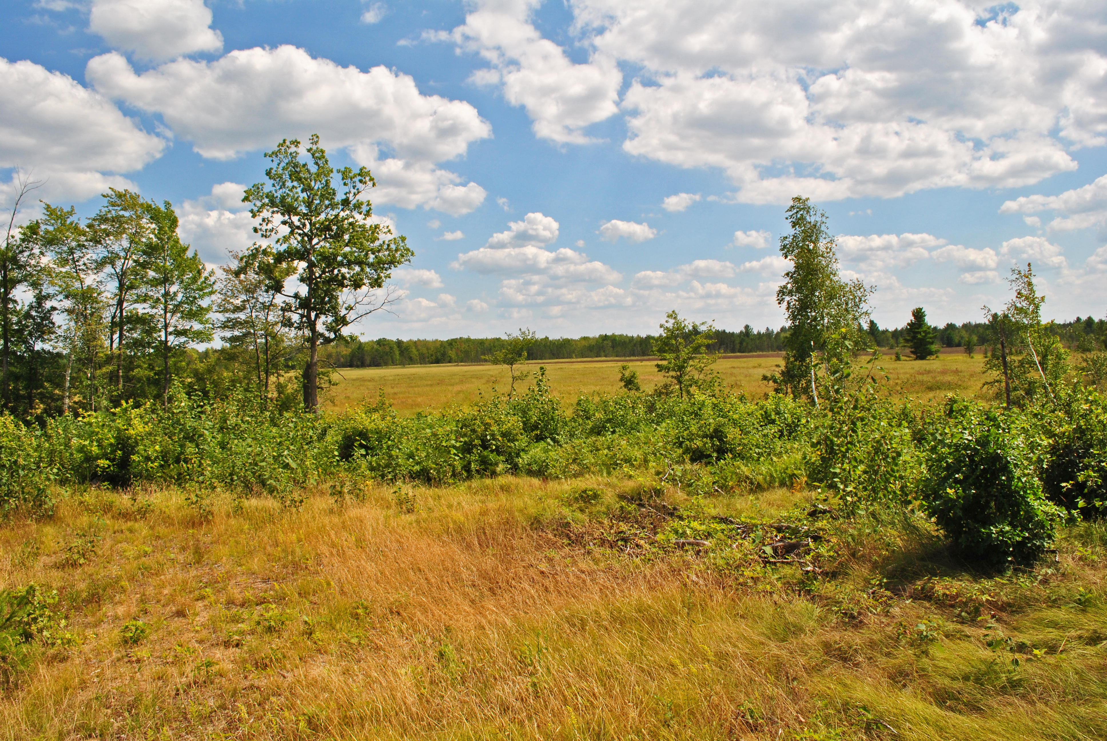
Spaulding Fen State Natural Area
Worth The Climb
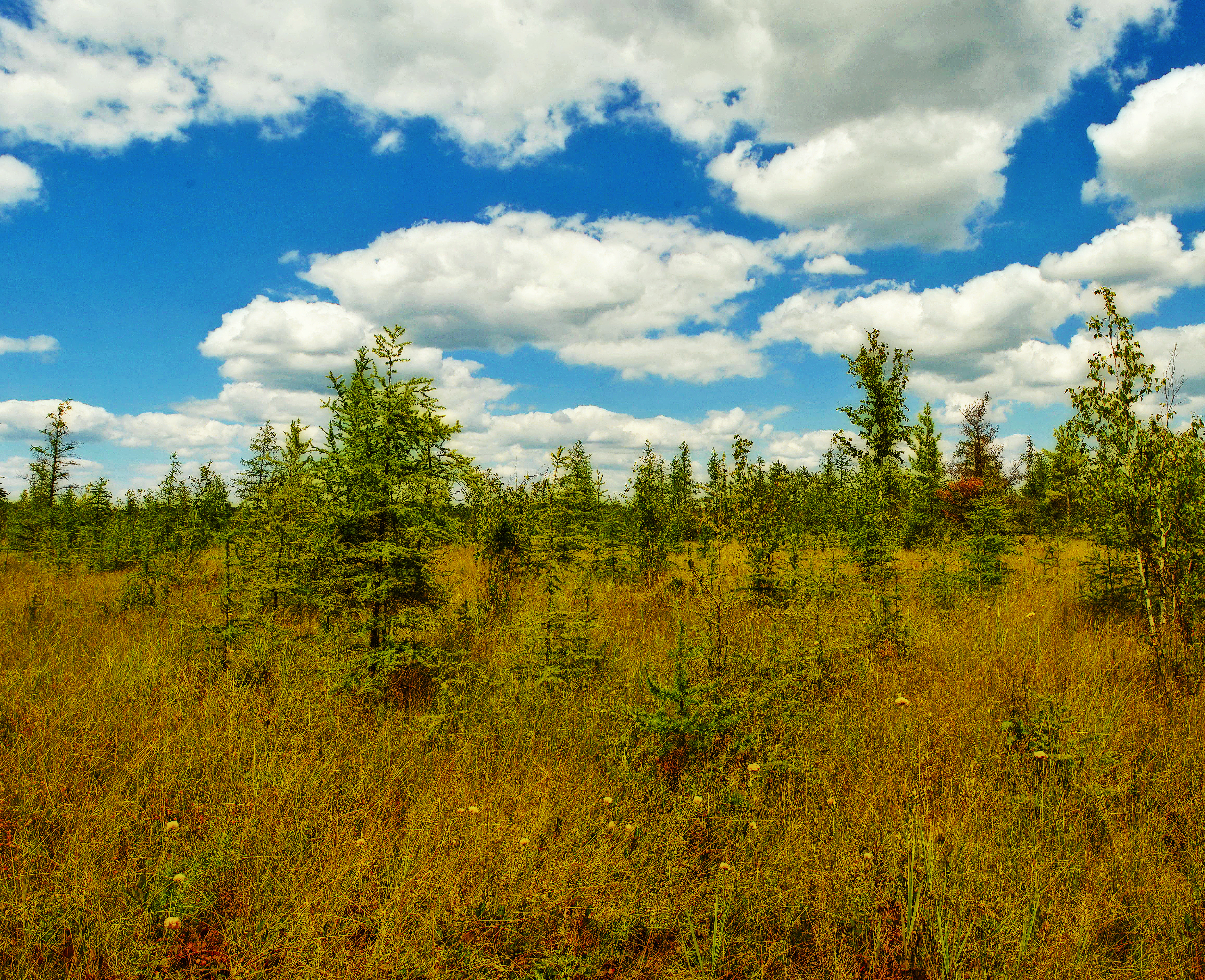
Spaulding Fen State Natural Area
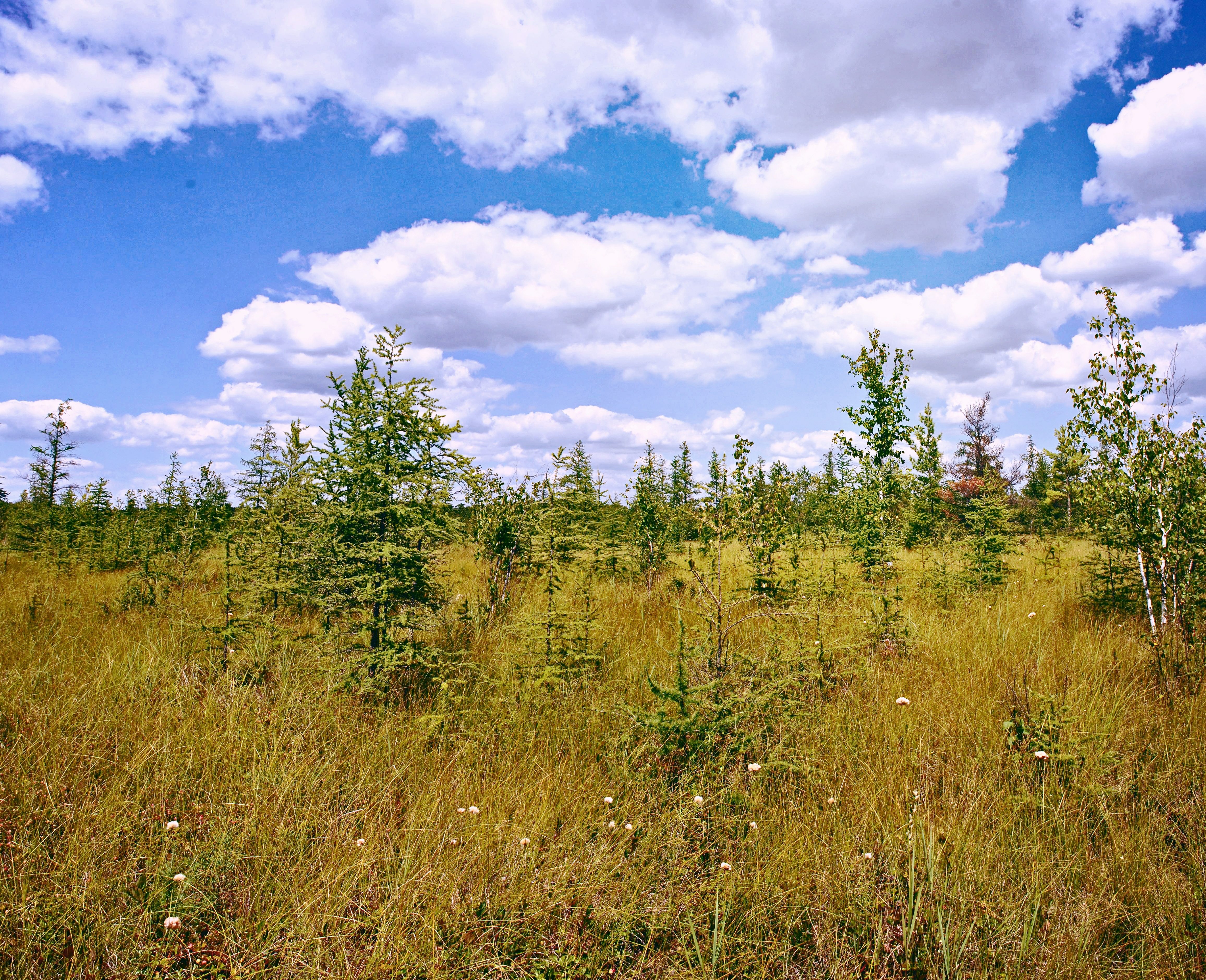
Spaulding Fen State Natural Area
Grace Multiplied
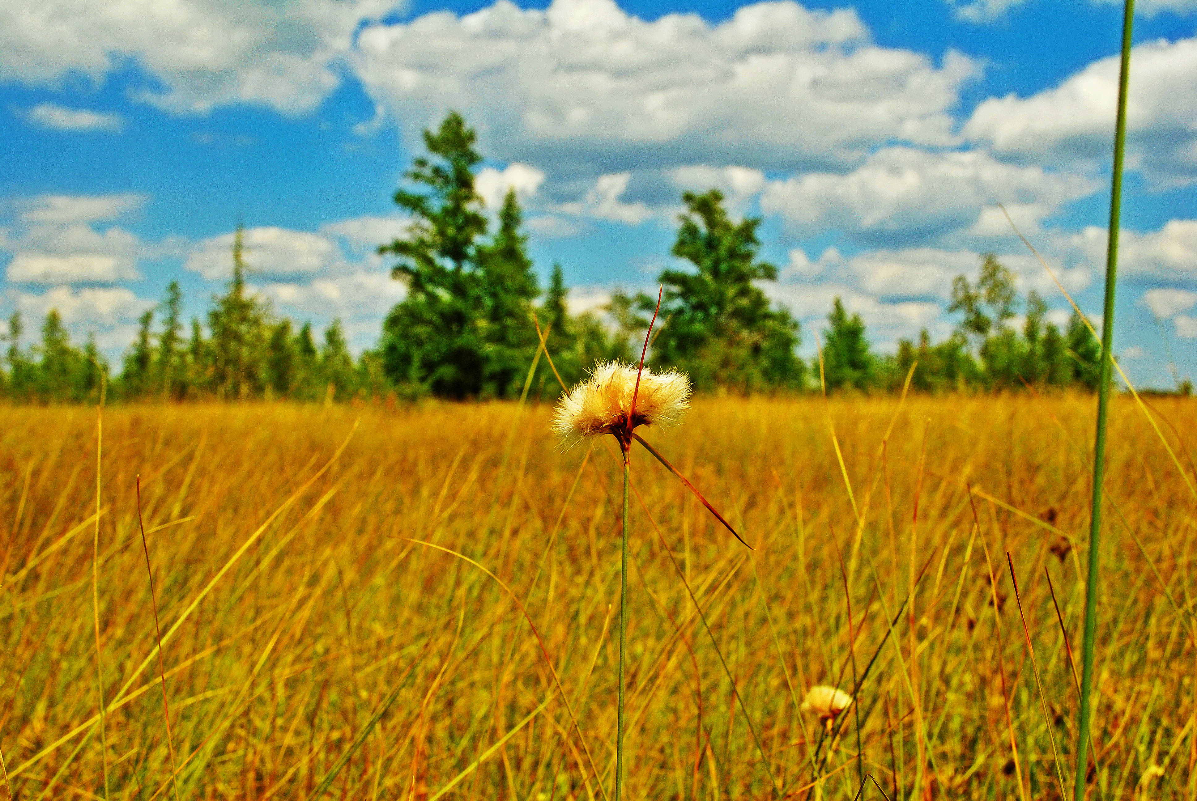
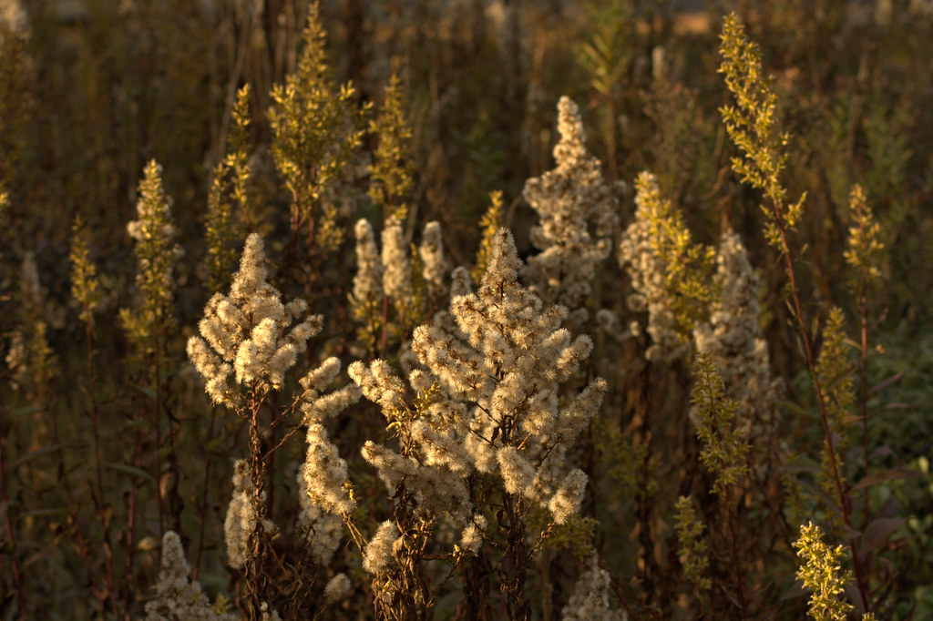
Tawny Cotton Grass (Eriophorum virginicum)
Topographic Map of Cranberry Rd, Pittsville, WI, USA
Find elevation by address:

Places near Cranberry Rd, Pittsville, WI, USA:
Sherwin Ave, Necedah, WI, USA
Veedum Ln, Pittsville, WI, USA
Cary
Finley
Dexter
12th Ave, Necedah, WI, USA
Warrens
WI-21, Camp Douglas, WI, USA
Johnson Rd, Pittsville, WI, USA
E Tomah Rd, Tomah, WI, USA
N11385 Headquarters Rd
Main St, Pittsville, WI, USA
Pittsville
La Grange
17th Ave N, Necedah, WI, USA
Armenia
Millston
W Badger Dr, Tomah, WI, USA
Oakdale
Miller Avenue
Recent Searches:
- Elevation of Corso Fratelli Cairoli, 35, Macerata MC, Italy
- Elevation of Tallevast Rd, Sarasota, FL, USA
- Elevation of 4th St E, Sonoma, CA, USA
- Elevation of Black Hollow Rd, Pennsdale, PA, USA
- Elevation of Oakland Ave, Williamsport, PA, USA
- Elevation of Pedrógão Grande, Portugal
- Elevation of Klee Dr, Martinsburg, WV, USA
- Elevation of Via Roma, Pieranica CR, Italy
- Elevation of Tavkvetili Mountain, Georgia
- Elevation of Hartfords Bluff Cir, Mt Pleasant, SC, USA