Elevation of 17th Ave N, Necedah, WI, USA
Location: United States > Wisconsin > Juneau County > Armenia >
Longitude: -90.035608
Latitude: 44.168328
Elevation: 288m / 945feet
Barometric Pressure: 98KPa
Elevation Map:
Satellite Map:
Related Photos:
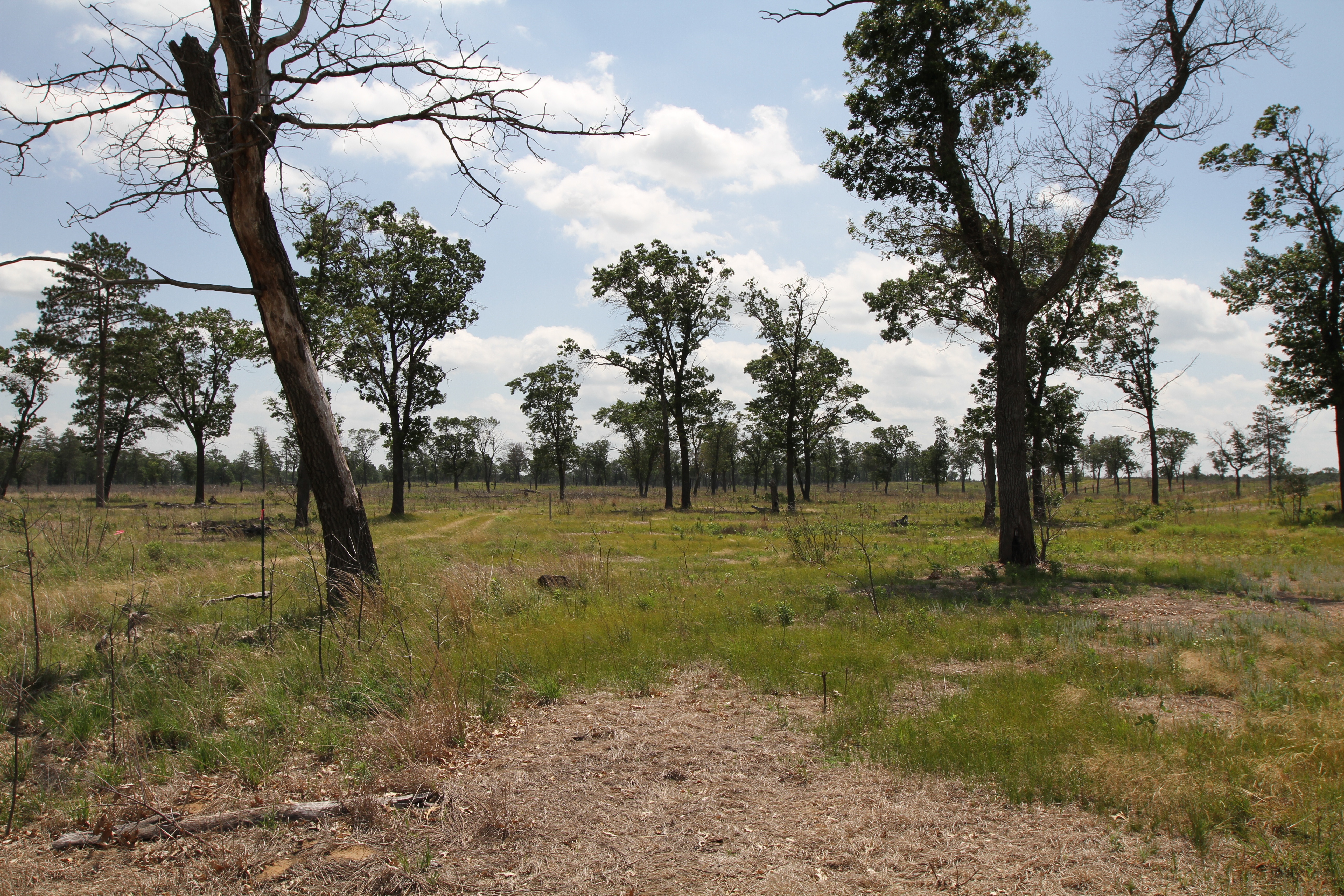
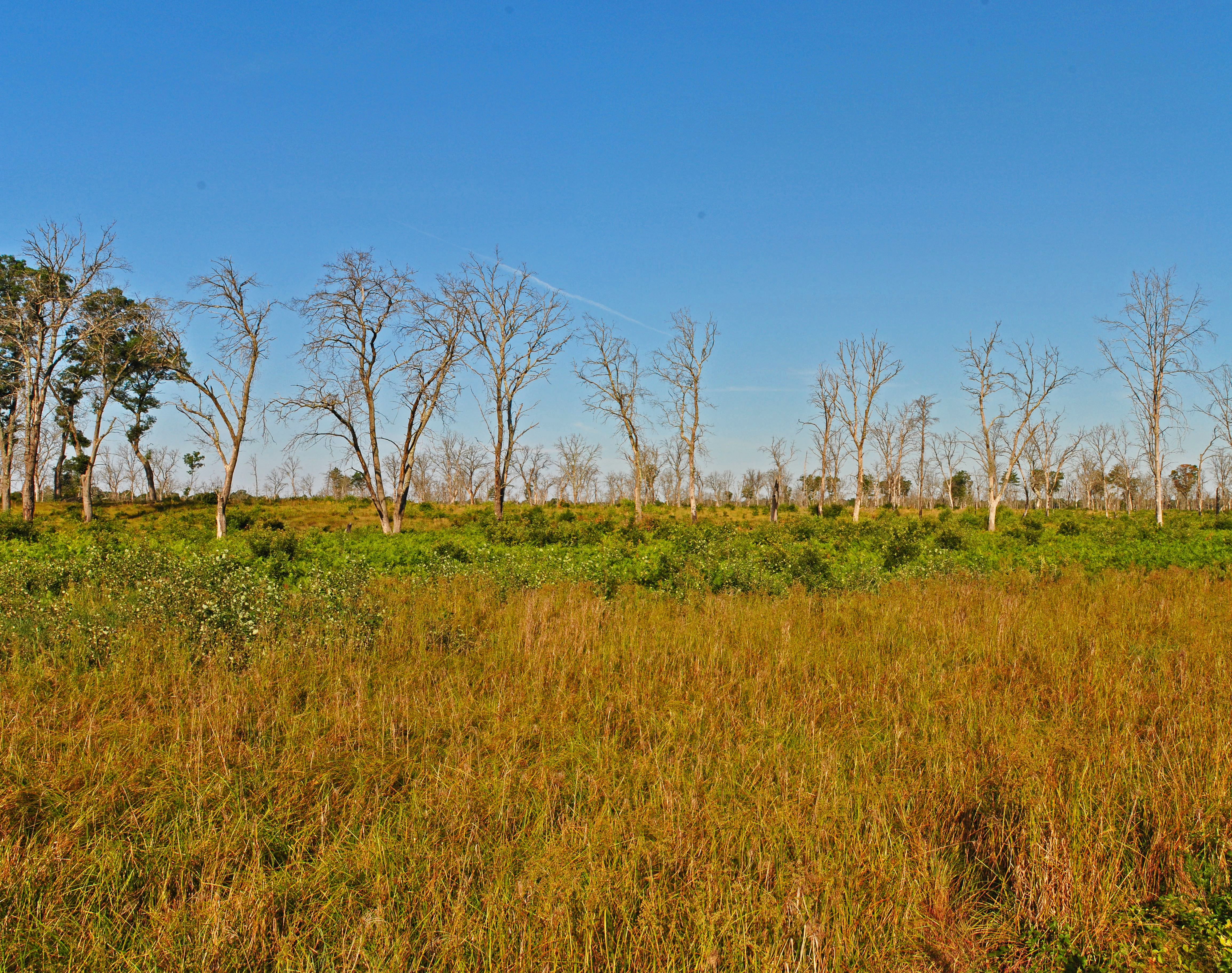
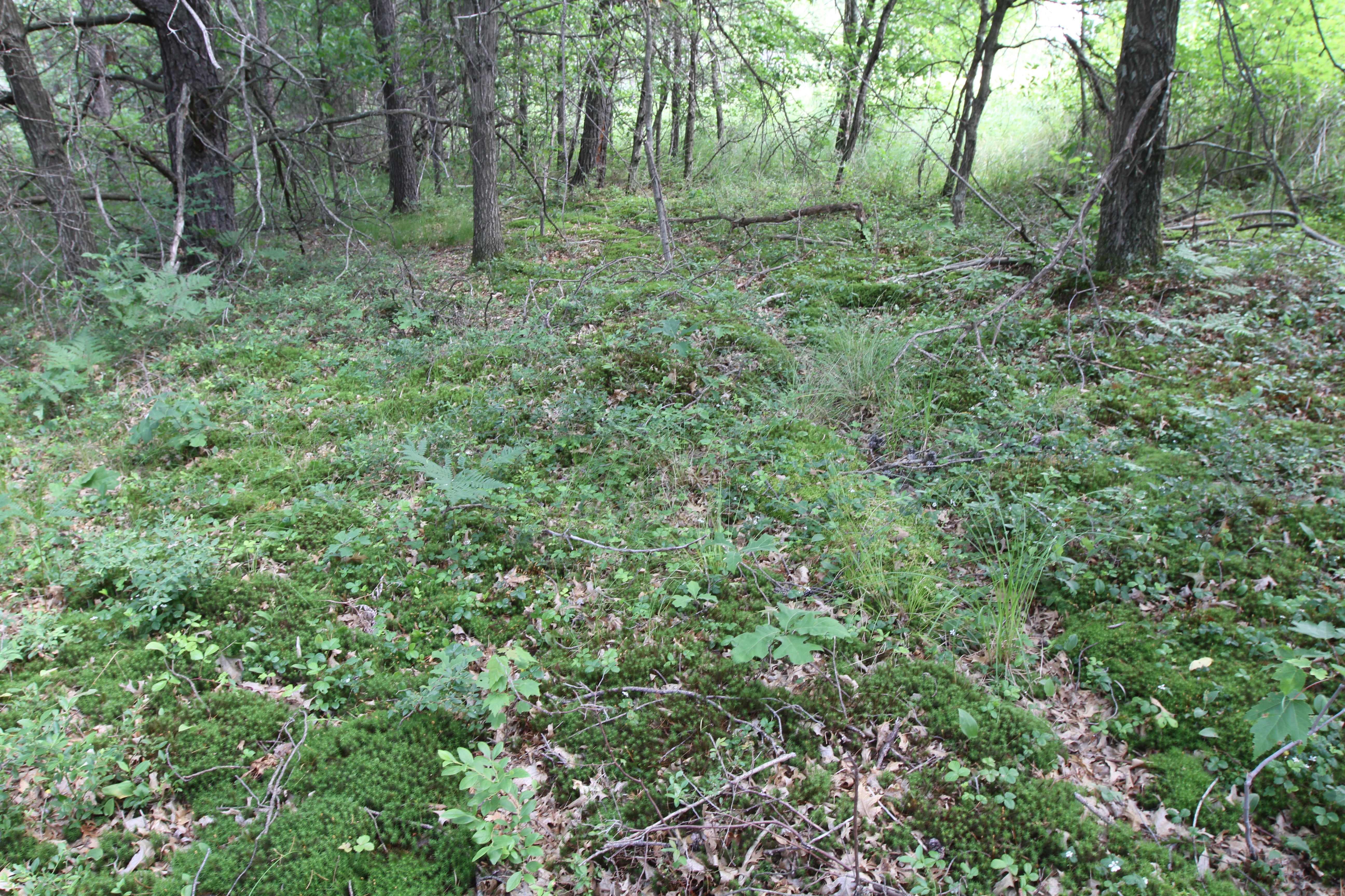
ground view of savanna restoration
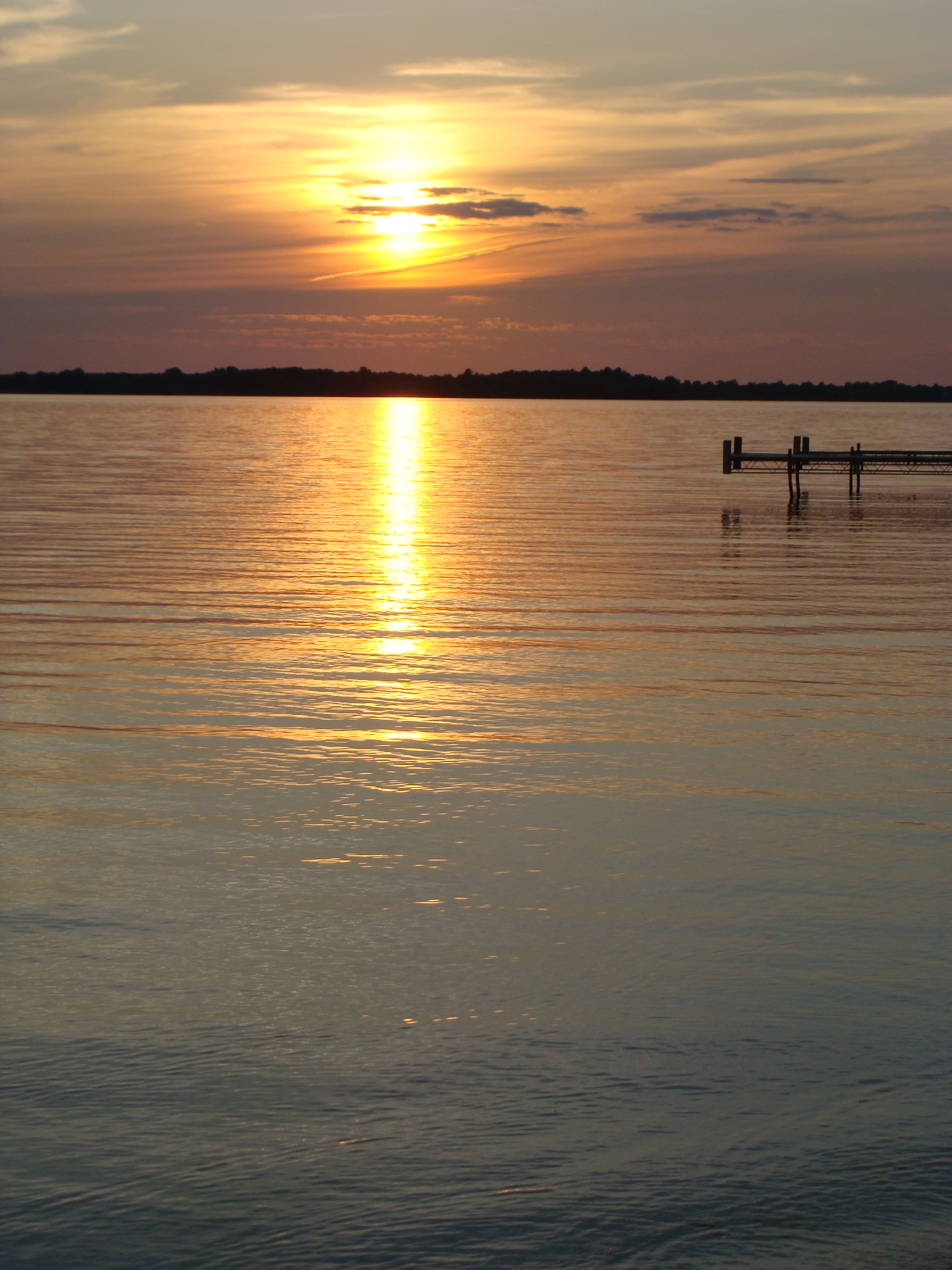
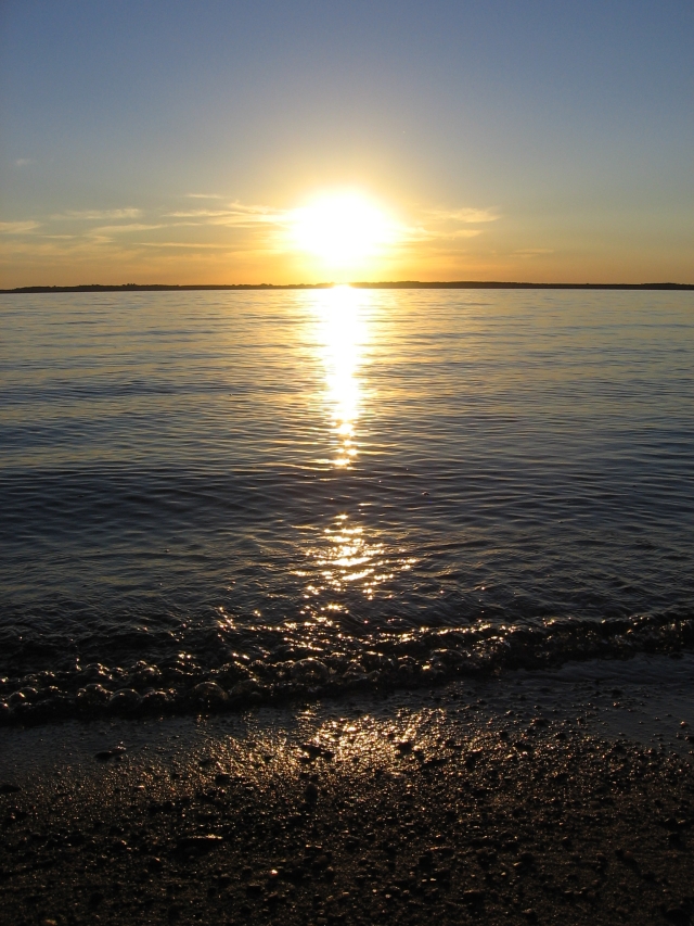
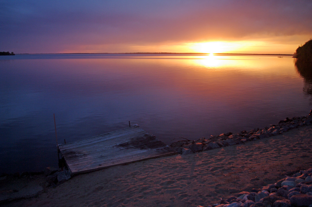
Sunset over Lake Petenwell

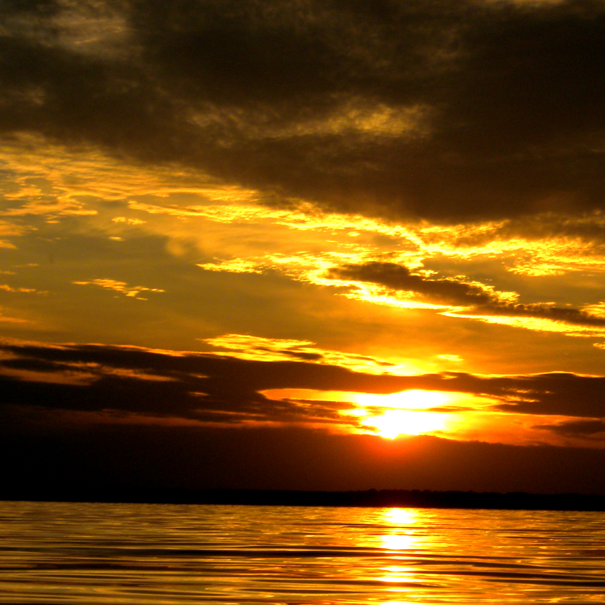
Sunset over Lake Petenwell
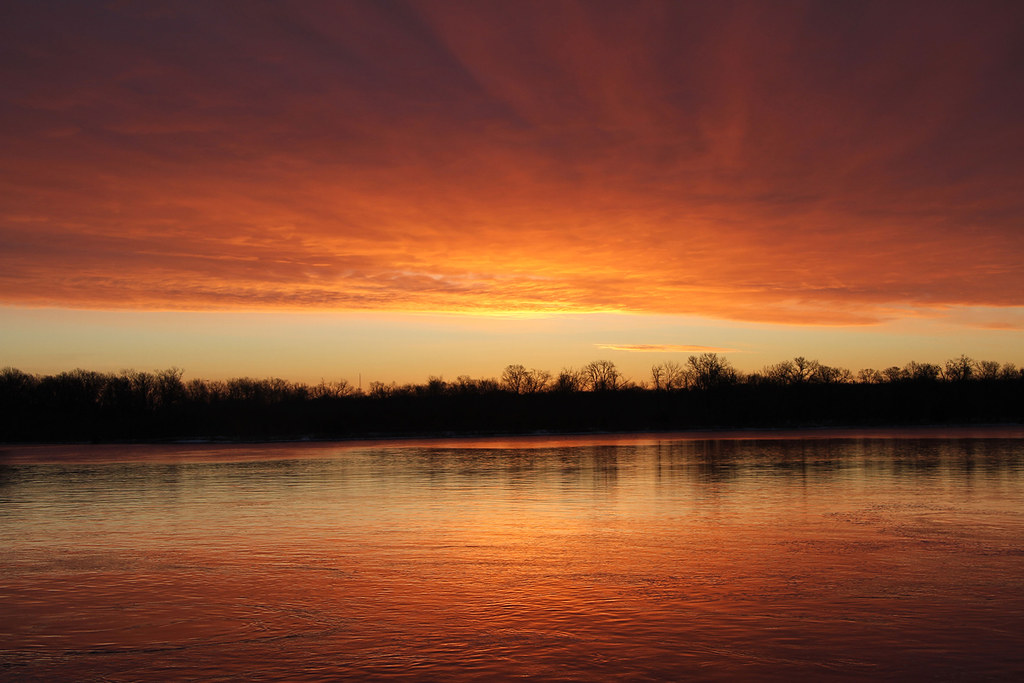
Sunrise at Petenwell Dam

Leaves - Necedah National Wildlife Refuge

Sunset over Lake Petenwell
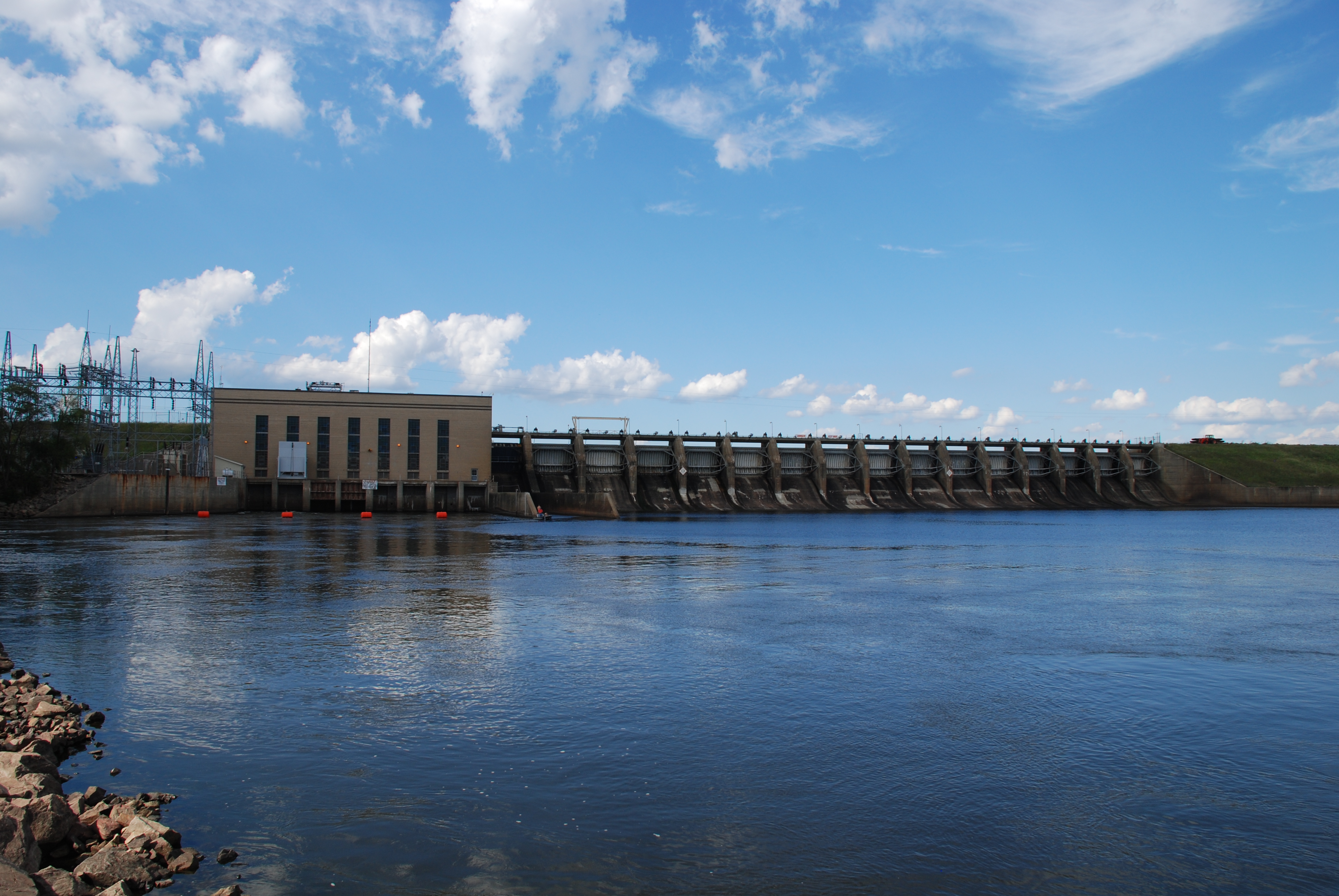
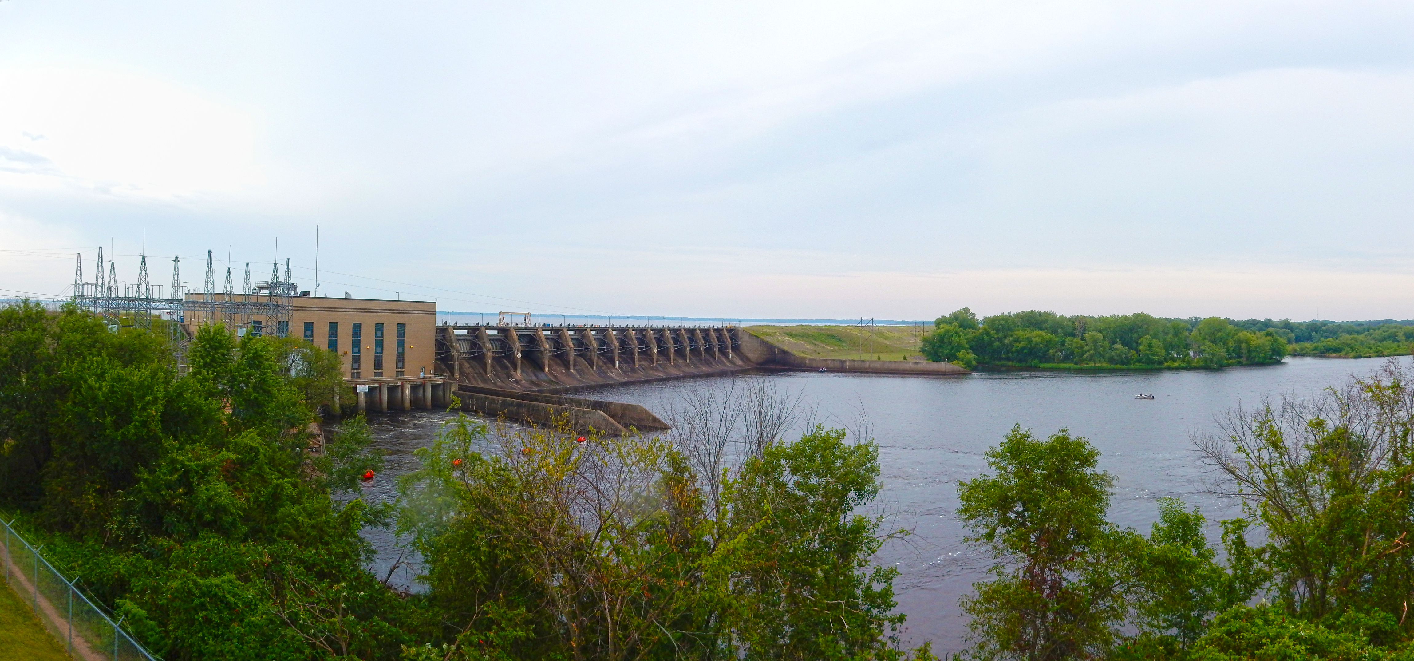
Petenwell Powerhouse and Dam
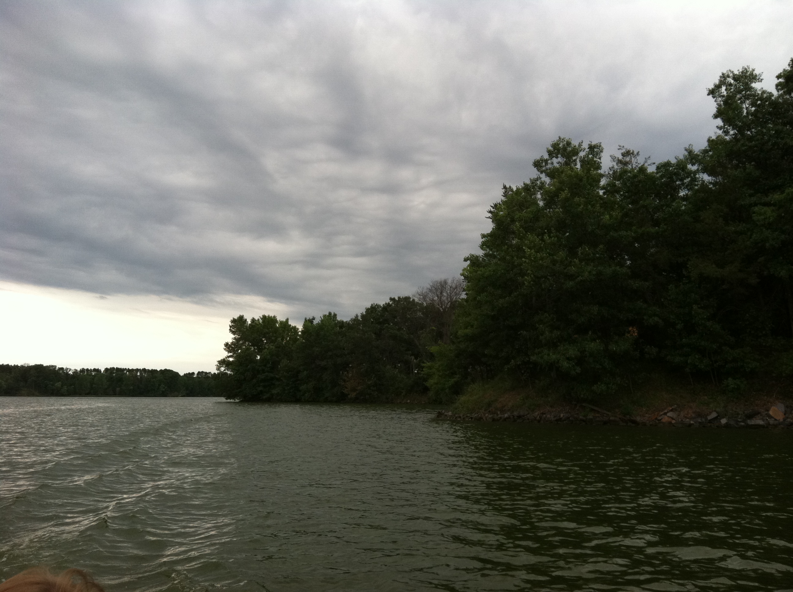
07-24-2015 Ride - Petenwell Dam
Adams, WI 2008 41
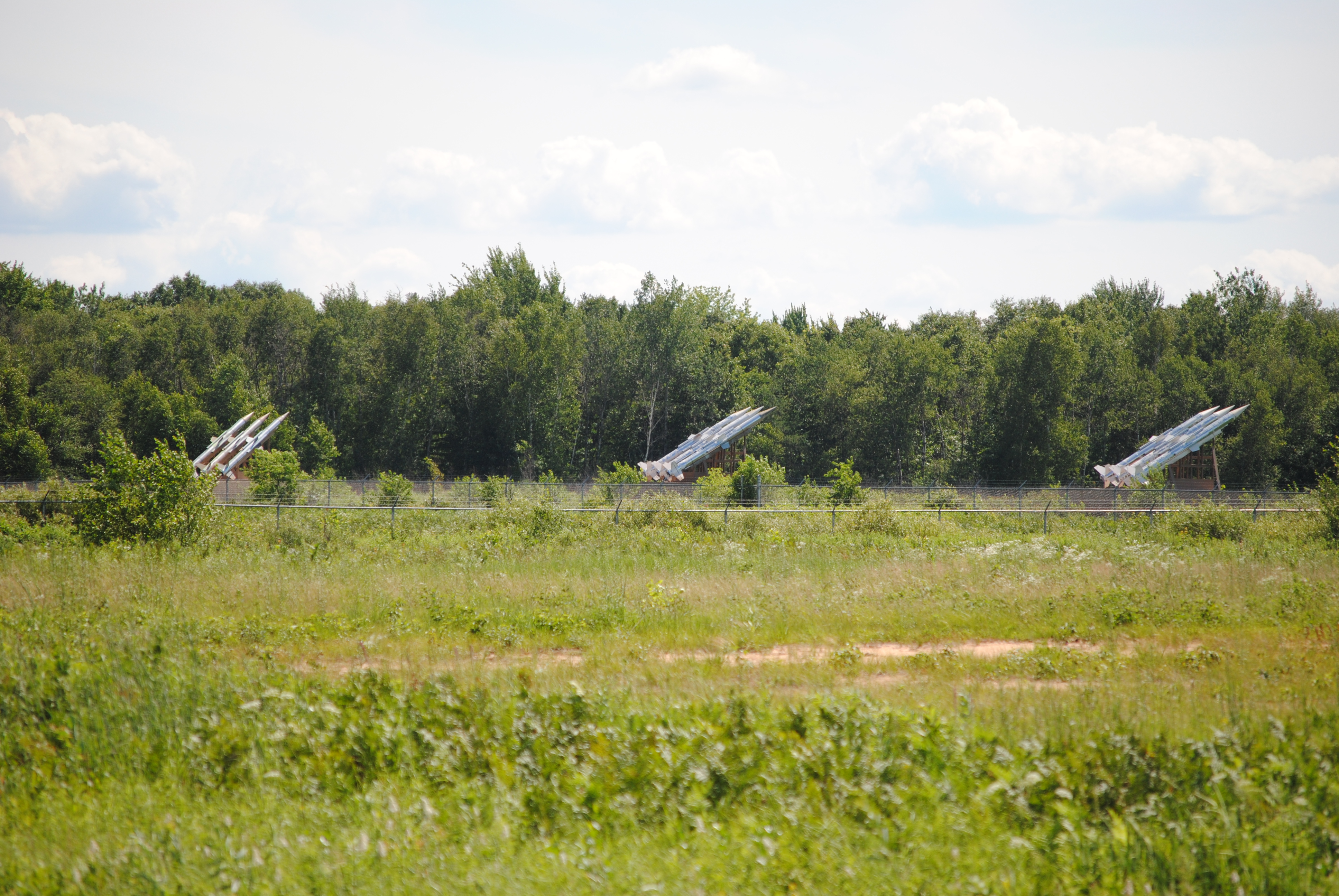
3 SAM launchers
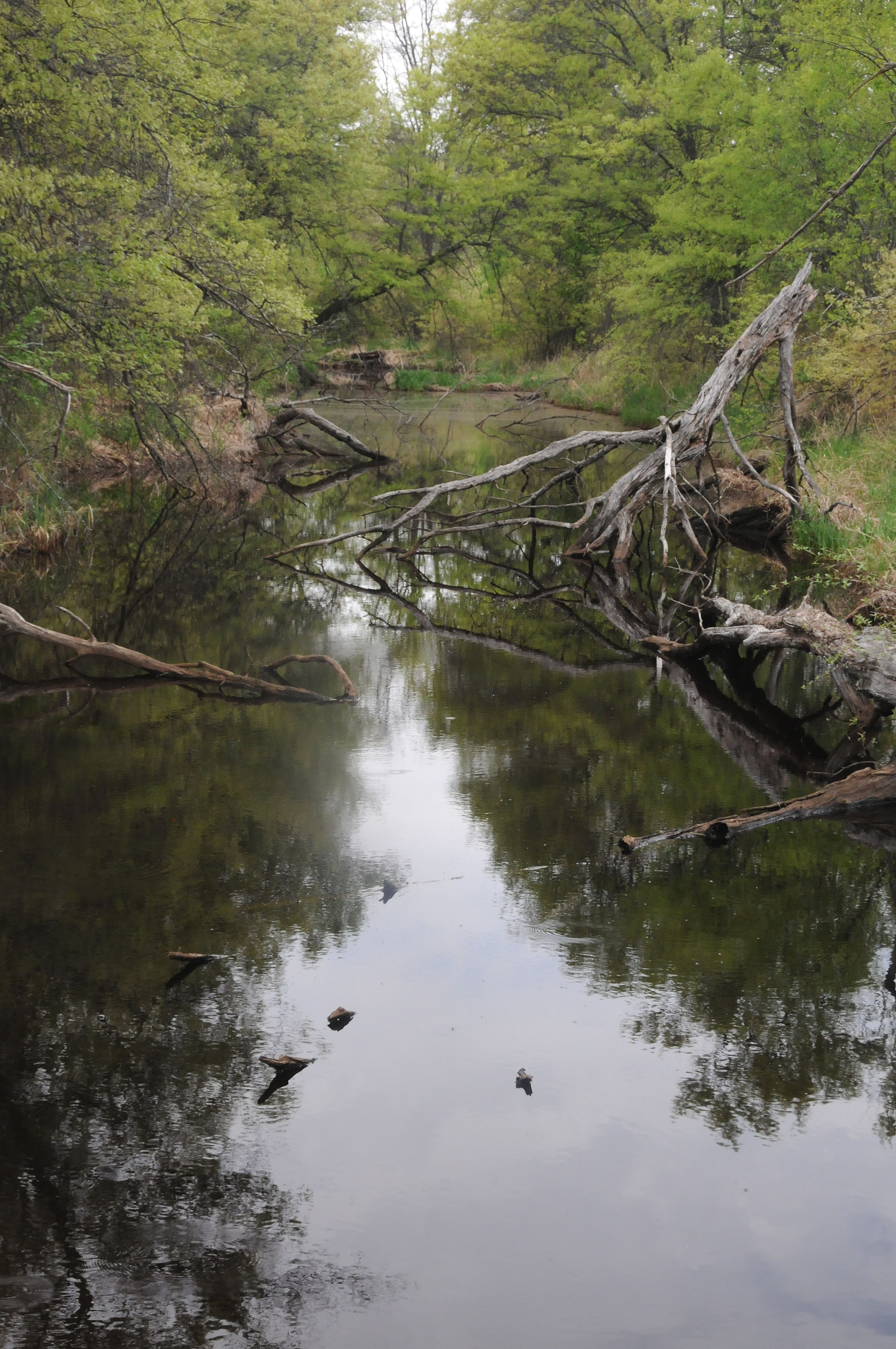
2014 Little Yellow River

Adams, WI 2008 34
Necedah Oak-Pine Savanna State Natural Area
beach sunset
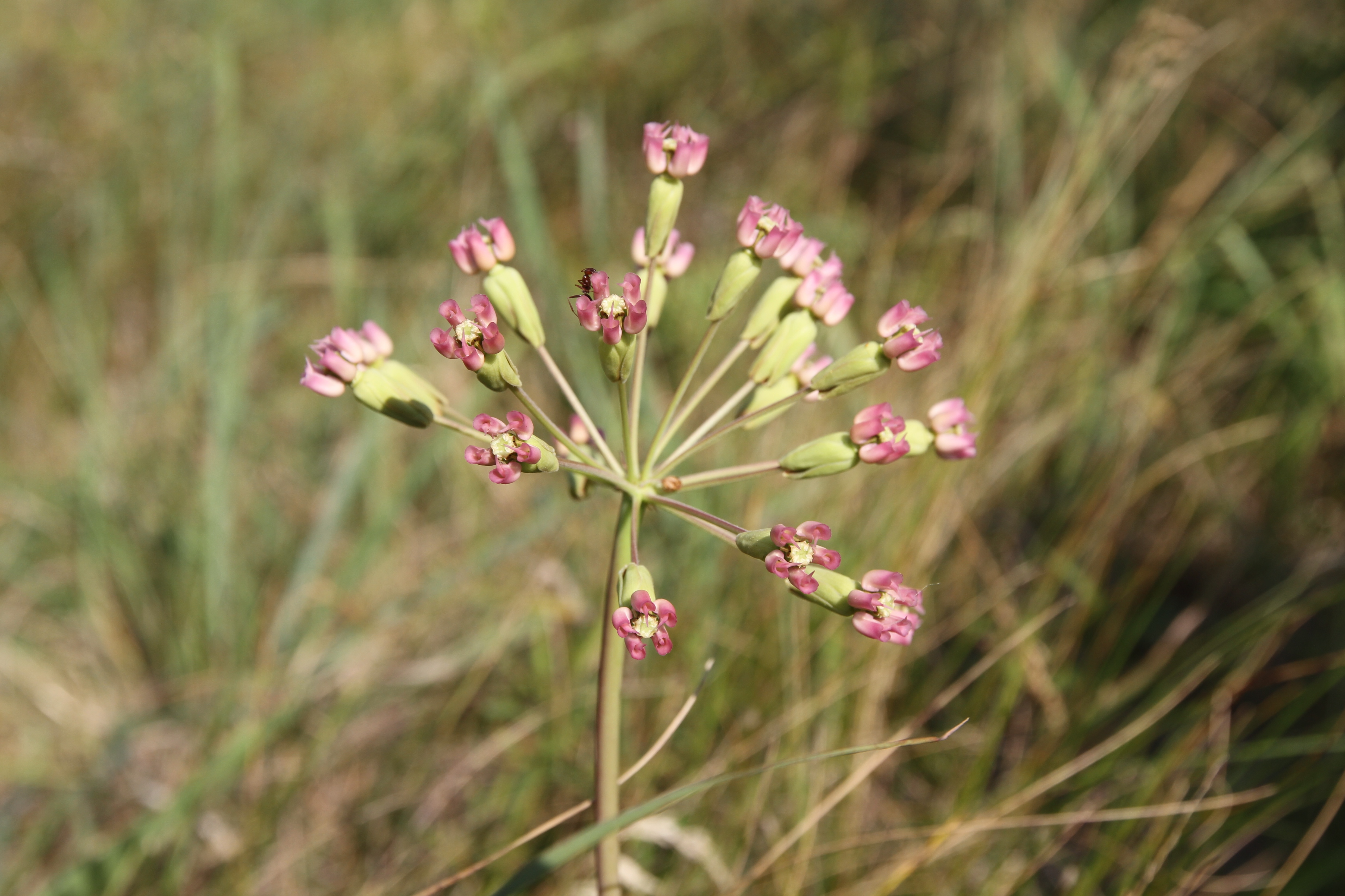
clasping milkweed
swamp candles loosestrife
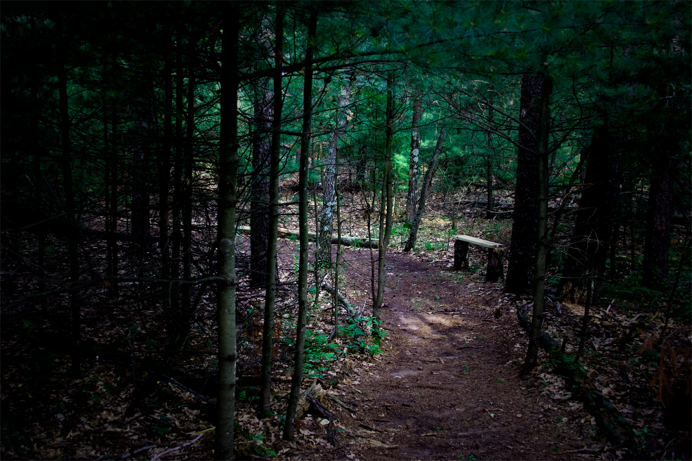
pine barrens groundlayer at Necedah
Sunset, rural Wisconsin

Wild lupine

07-24-2015 Ride - Petenwell Dam
Wisconsin sunset
Lake Arrowhead
Topographic Map of 17th Ave N, Necedah, WI, USA
Find elevation by address:

Places near 17th Ave N, Necedah, WI, USA:
Armenia
Finley
12th Ave, Necedah, WI, USA
Sherwin Ave, Necedah, WI, USA
Necedah
600 S Main St
N11385 Headquarters Rd
32nd Street
W8035 28th St
Dexter
Clearfield
Veedum Ln, Pittsville, WI, USA
Main St, Pittsville, WI, USA
Pittsville
Cranberry Rd, Pittsville, WI, USA
Juneau County
Wood County
WI-21, Camp Douglas, WI, USA
S Monroe St, New Lisbon, WI, USA
New Lisbon
Recent Searches:
- Elevation of Hercules Dr, Colorado Springs, CO, USA
- Elevation of Szlak pieszy czarny, Poland
- Elevation of Griffing Blvd, Biscayne Park, FL, USA
- Elevation of Kreuzburger Weg 13, Düsseldorf, Germany
- Elevation of Gateway Blvd SE, Canton, OH, USA
- Elevation of East W.T. Harris Boulevard, E W.T. Harris Blvd, Charlotte, NC, USA
- Elevation of West Sugar Creek, Charlotte, NC, USA
- Elevation of Wayland, NY, USA
- Elevation of Steadfast Ct, Daphne, AL, USA
- Elevation of Lagasgasan, X+CQH, Tiaong, Quezon, Philippines