Elevation of W Badger Dr, Tomah, WI, USA
Location: United States > Wisconsin > Monroe County > Oakdale >
Longitude: -90.381296
Latitude: 43.959682
Elevation: 296m / 971feet
Barometric Pressure: 98KPa
Elevation Map:
Satellite Map:
Related Photos:

Something Old Something New

View from Ragged Rock
Wisconsin, Juneau County (893-2)
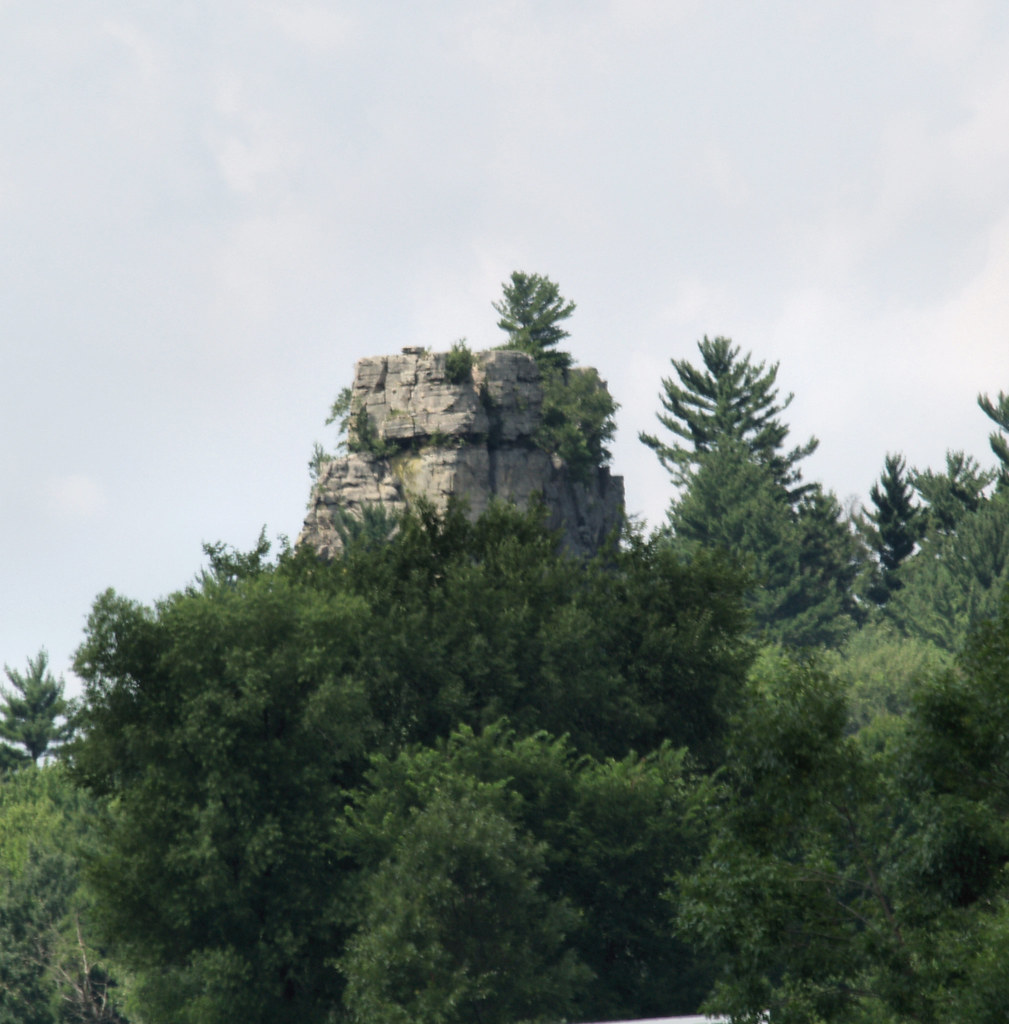
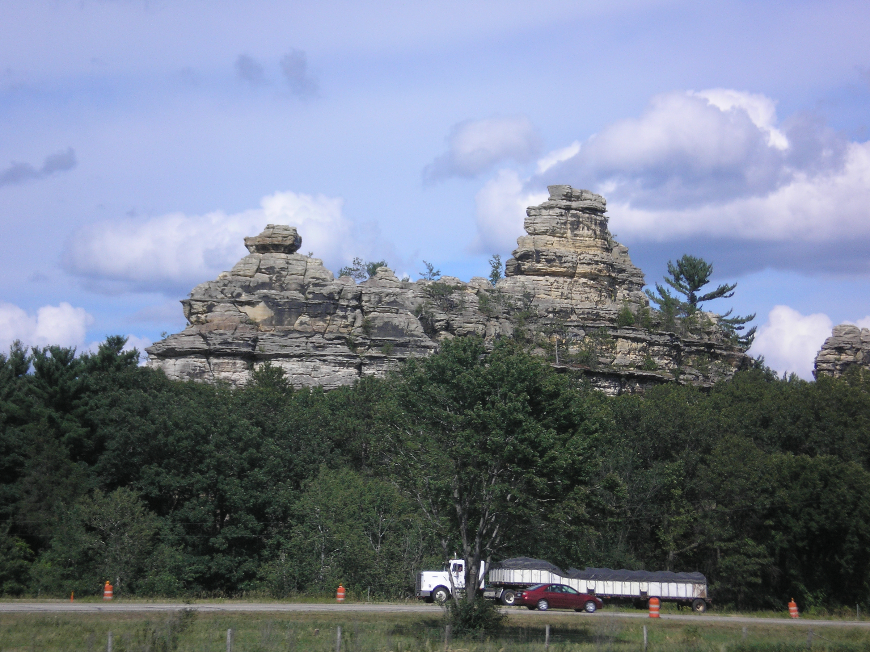
Rock tower on I90 in Wisconson

Rock tower on I90 in Wisconson
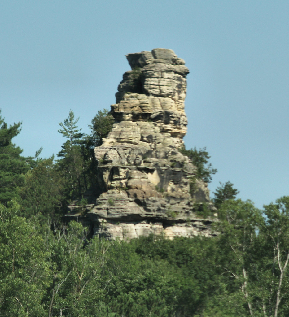
Rock tower on I90 in Wisconson

View from Ragged Rock
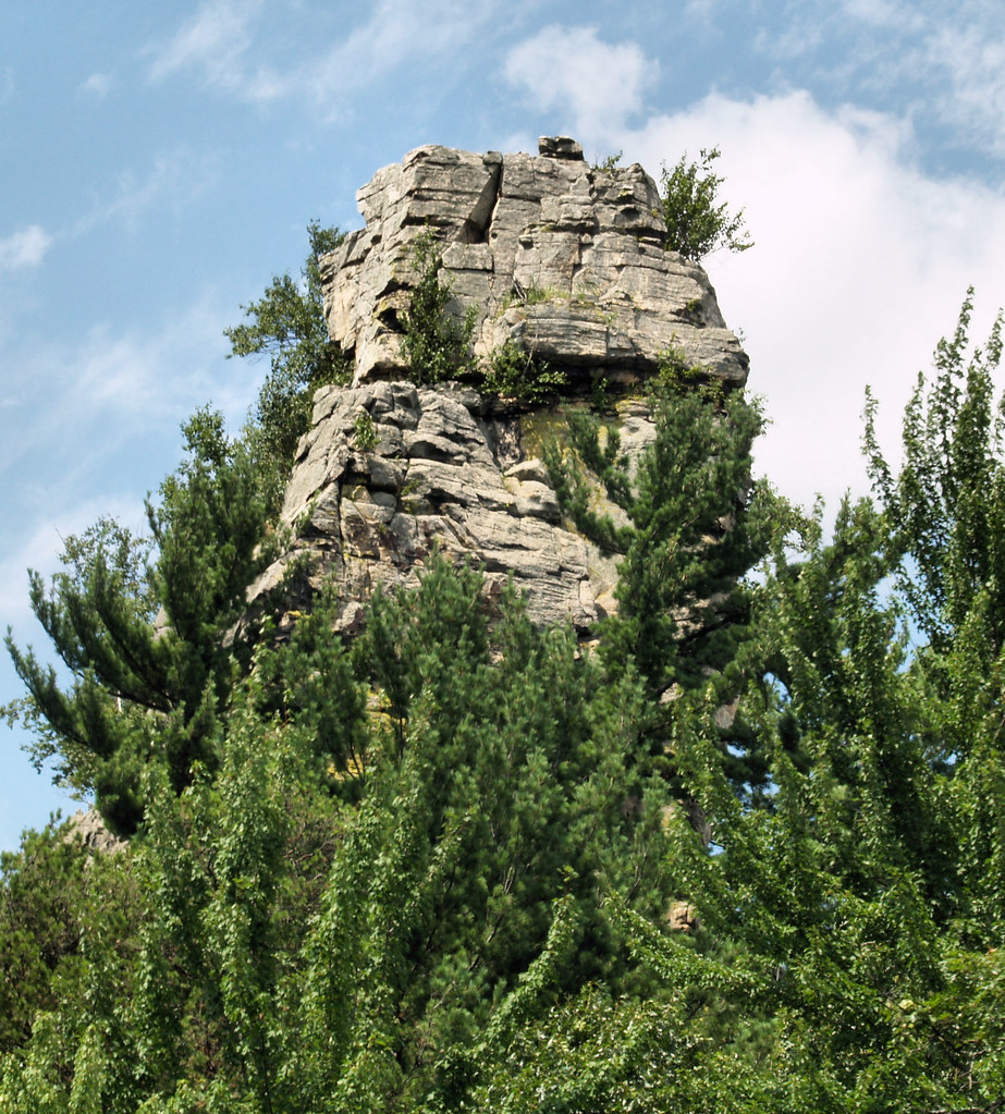
Rock tower on I90 in Wisconson
Castle Rock (as viewed from WI Hwy 16)
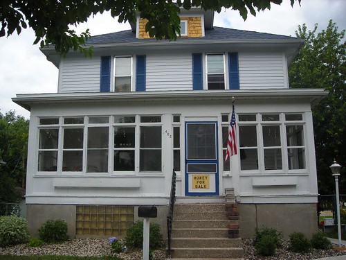
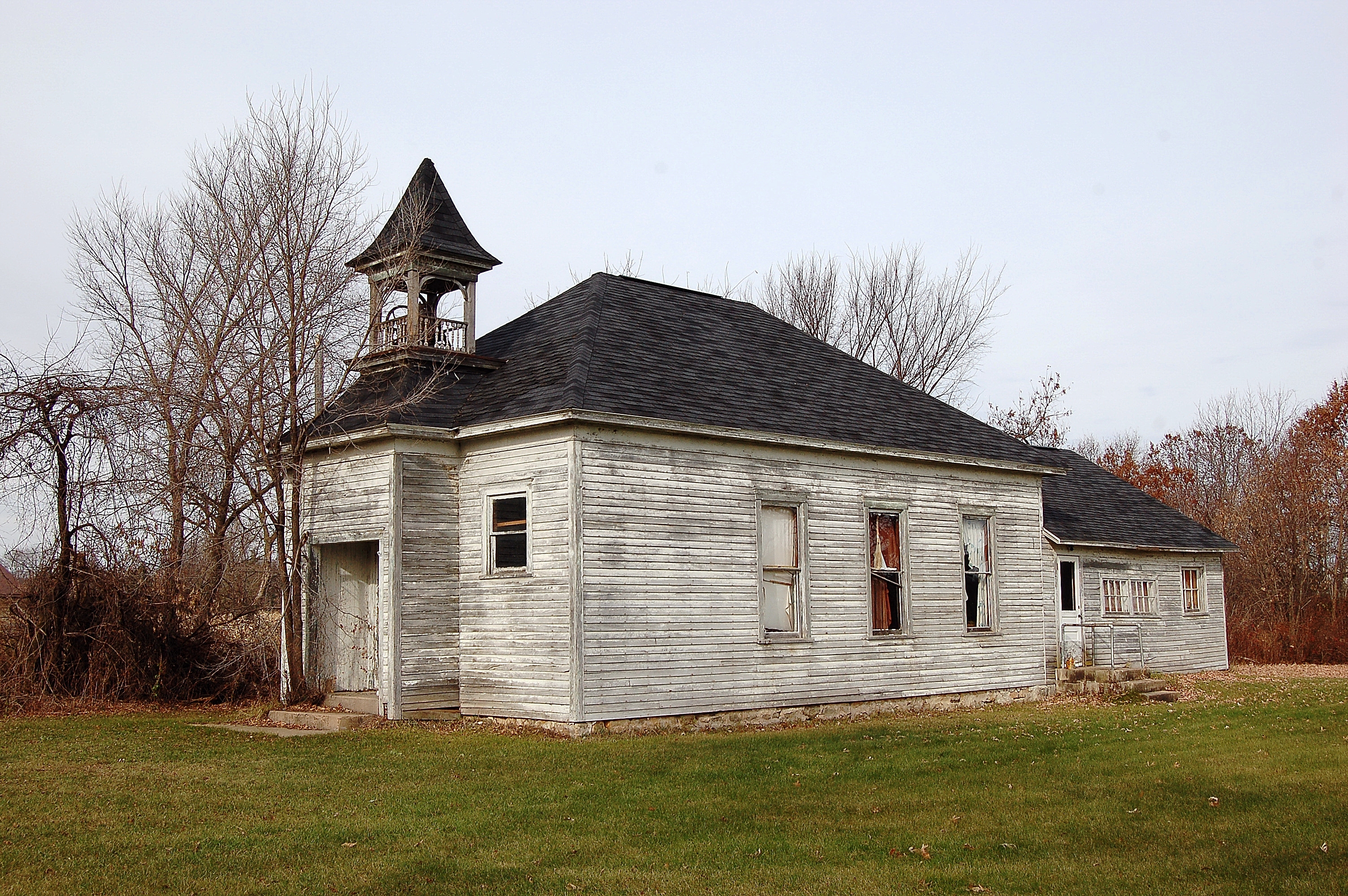
View of the house

Our day off in La Cross #mountain #mountains #sky #beautiful #view #scenery #nature #hike #hiking #landscape #clouds #tagsta #ic_landscapes #udog_earth #natureporn #nature_seekers #instanature #instanaturelover #landscape_lovers #peak #landscapes #amazing
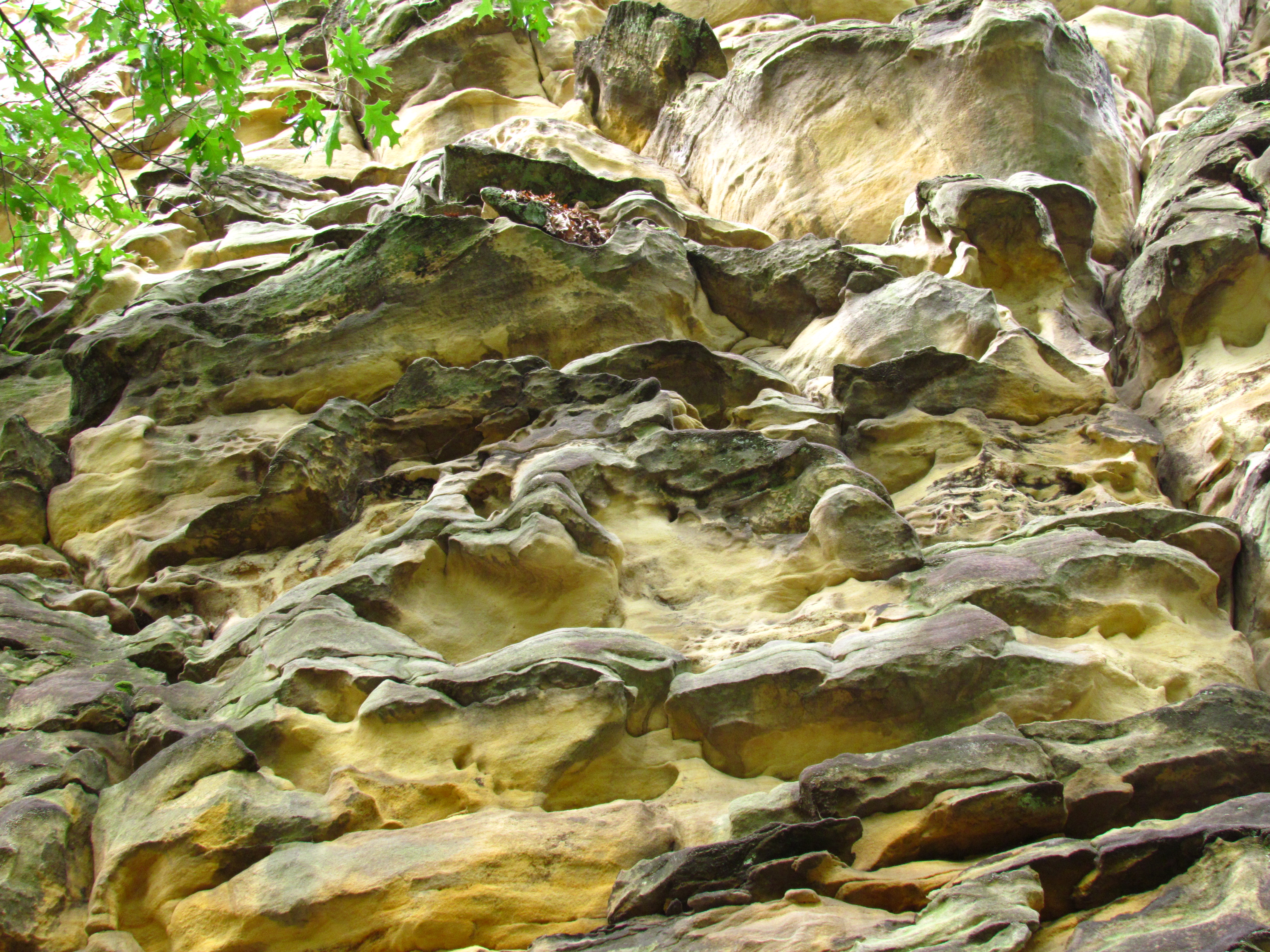
What ever. Thats what it looks like. Sandstone bluff.
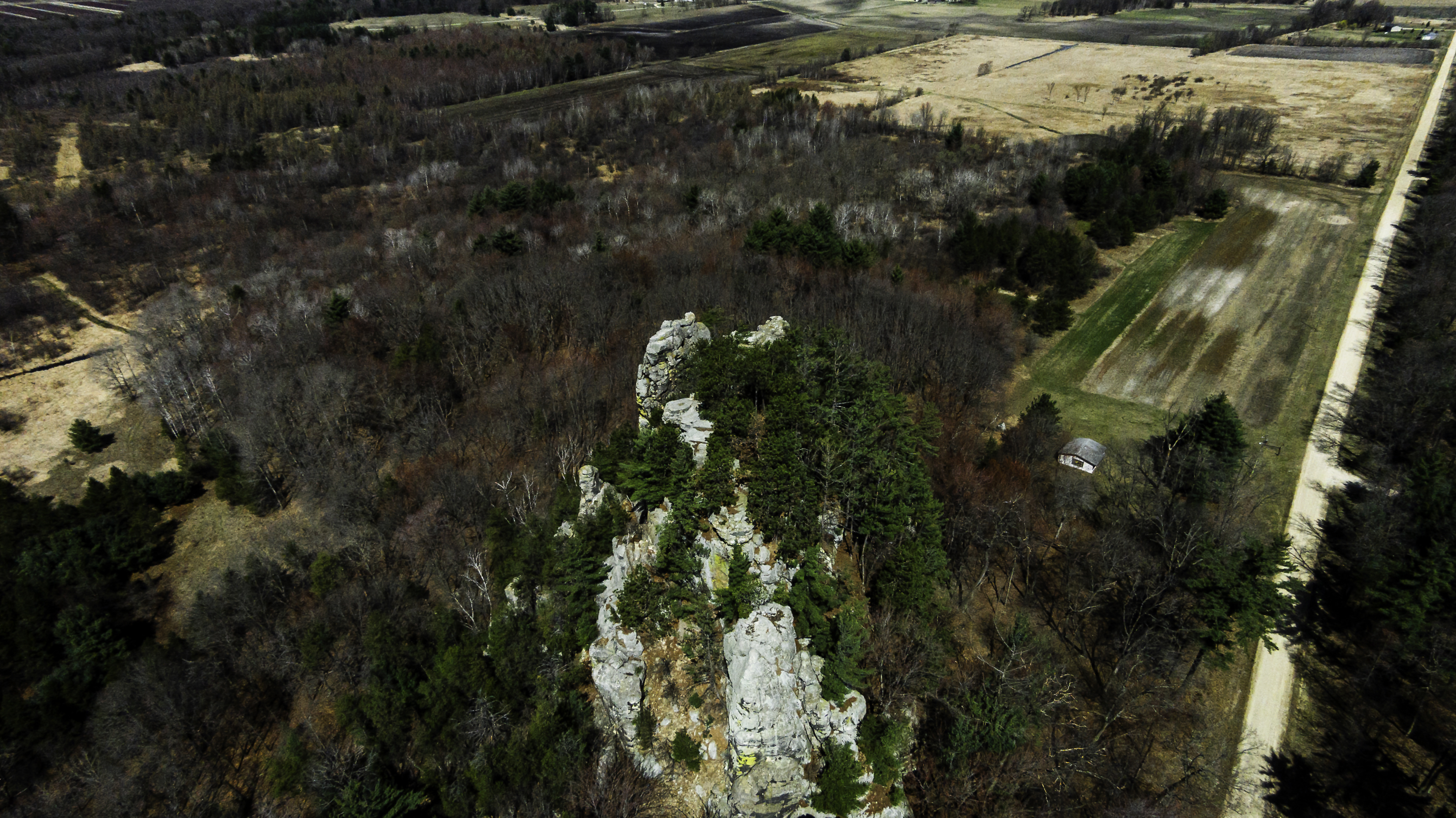
Ragged Rock
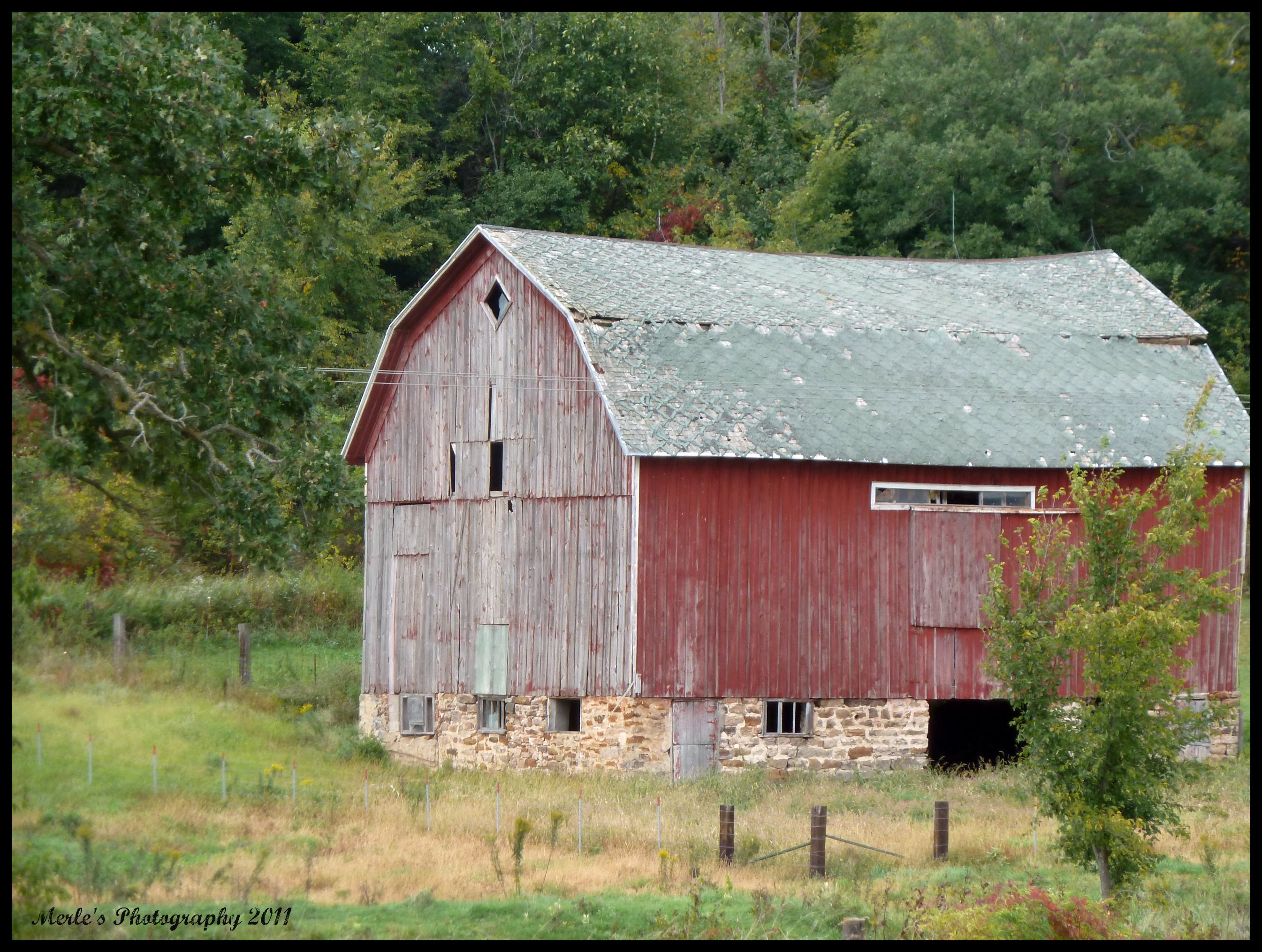
traditional red barn still standing
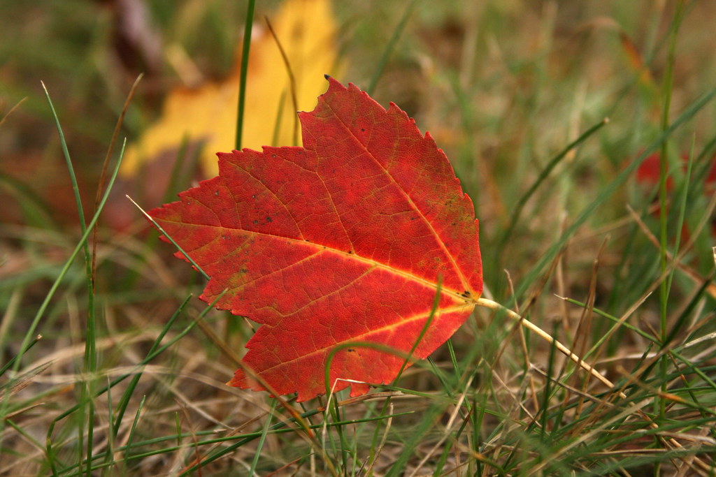
Last Glory

#Wisconsin

Camp Douglas
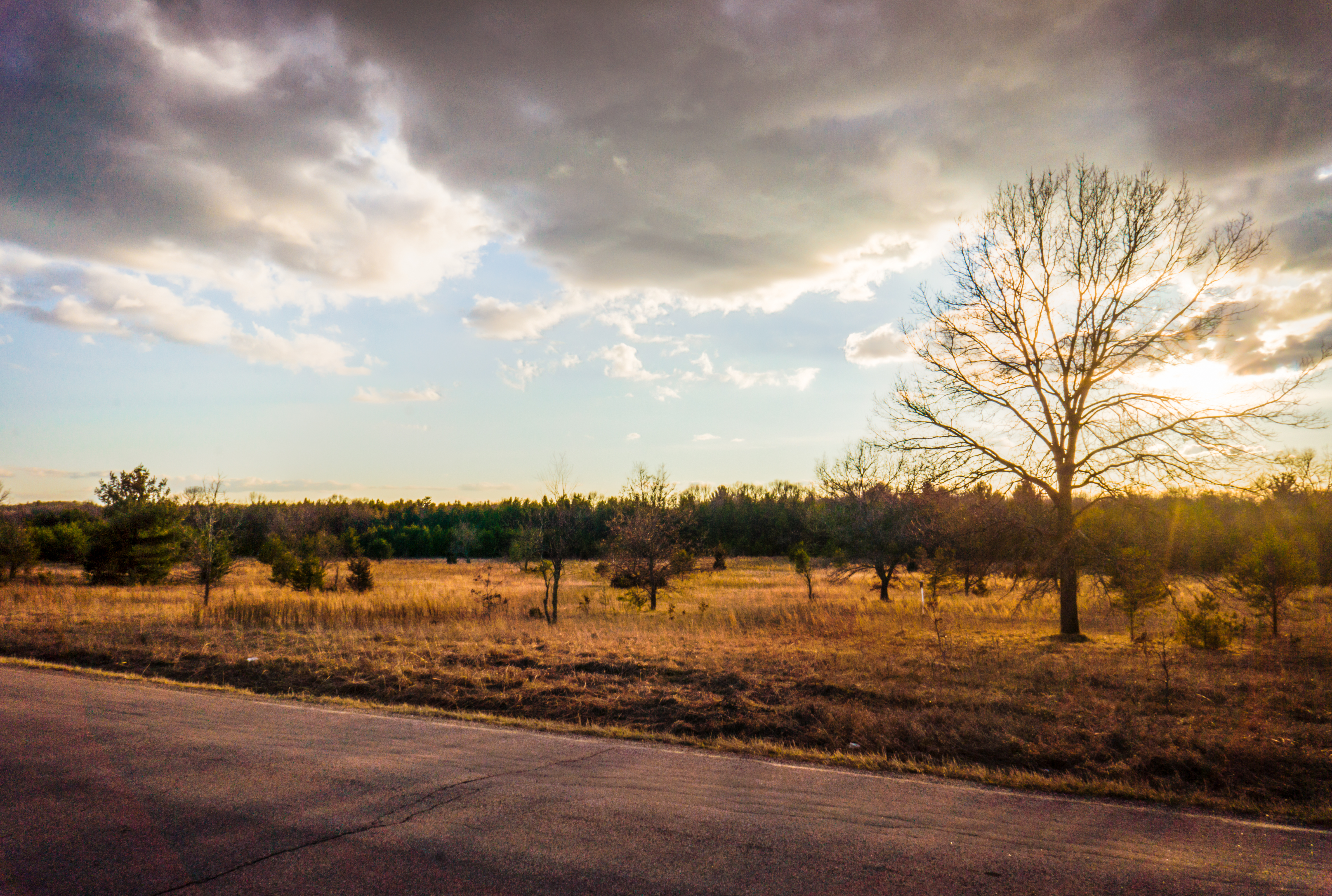
Waiting for the Sunset
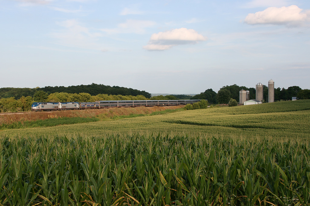
America's Train
Topographic Map of W Badger Dr, Tomah, WI, USA
Find elevation by address:

Places near W Badger Dr, Tomah, WI, USA:
Oakdale
15414 Hollow Rd
E Tomah Rd, Tomah, WI, USA
WI-21, Camp Douglas, WI, USA
N Wisconsin St, Camp Douglas, WI, USA
La Grange
Tomah
815 N Superior Ave
Tomah
26549 Locust Ave
26948 Wi-71
Wilton
21768 Co Hwy Et
Alpine Drive South
21359 County Highway M
Flaten Ave, Tomah, WI, USA
Main St, Wilton, WI, USA
Wilton
Warrens
W8035 28th St
Recent Searches:
- Elevation of Rojo Ct, Atascadero, CA, USA
- Elevation of Flagstaff Drive, Flagstaff Dr, North Carolina, USA
- Elevation of Avery Ln, Lakeland, FL, USA
- Elevation of Woolwine, VA, USA
- Elevation of Lumagwas Diversified Farmers Multi-Purpose Cooperative, Lumagwas, Adtuyon, RV32+MH7, Pangantucan, Bukidnon, Philippines
- Elevation of Homestead Ridge, New Braunfels, TX, USA
- Elevation of Orchard Road, Orchard Rd, Marlborough, NY, USA
- Elevation of 12 Hutchinson Woods Dr, Fletcher, NC, USA
- Elevation of Holloway Ave, San Francisco, CA, USA
- Elevation of Norfolk, NY, USA