Elevation of Craig, NE, USA
Location: United States > Nebraska > Burt County >
Longitude: -96.386442
Latitude: 41.7622308
Elevation: 393m / 1289feet
Barometric Pressure: 97KPa
Elevation Map:
Satellite Map:
Related Photos:

Close Up!

Disconnect and Alley Arm
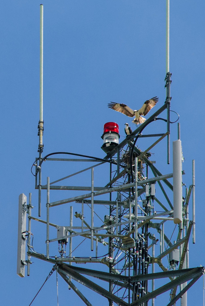
Ospreys nesting in eastern Nebraska

Main Street Corner

Rural Graveyard (with outhouses)

Lewis & Clark mural

Tiger Bowl (Automatic Scoring!)

Firework Shack

Postcard View

Nebraska Field Panarama
Topographic Map of Craig, NE, USA
Find elevation by address:

Places in Craig, NE, USA:
Places near Craig, NE, USA:
Craig
Burt County
Tekamah
Oakland
21 Ne-32
21 Ne-32
Lyons
N Main St, Lyons, NE, USA
Logan
Hooper
1875 County Rd S T
Arizona
1920 Co Rd I
404 N Main St
Decatur
N Spring St, Hooper, NE, USA
Hooper
Everett
1157 Co Rd 20
County Road W51
Recent Searches:
- Elevation of Groblershoop, South Africa
- Elevation of Power Generation Enterprises | Industrial Diesel Generators, Oak Ave, Canyon Country, CA, USA
- Elevation of Chesaw Rd, Oroville, WA, USA
- Elevation of N, Mt Pleasant, UT, USA
- Elevation of 6 Rue Jules Ferry, Beausoleil, France
- Elevation of Sattva Horizon, 4JC6+G9P, Vinayak Nagar, Kattigenahalli, Bengaluru, Karnataka, India
- Elevation of Great Brook Sports, Gold Star Hwy, Groton, CT, USA
- Elevation of 10 Mountain Laurels Dr, Nashua, NH, USA
- Elevation of 16 Gilboa Ln, Nashua, NH, USA
- Elevation of Laurel Rd, Townsend, TN, USA