Elevation of Co Rd 20, Hooper, NE, USA
Location: United States > Nebraska > Dodge County > Hooper > Hooper >
Longitude: -96.541852
Latitude: 41.5878797
Elevation: 395m / 1296feet
Barometric Pressure: 97KPa
Elevation Map:
Satellite Map:
Related Photos:
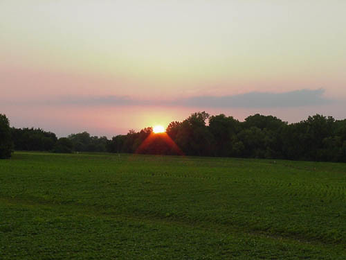
Soybean Field and Sunset, 2002
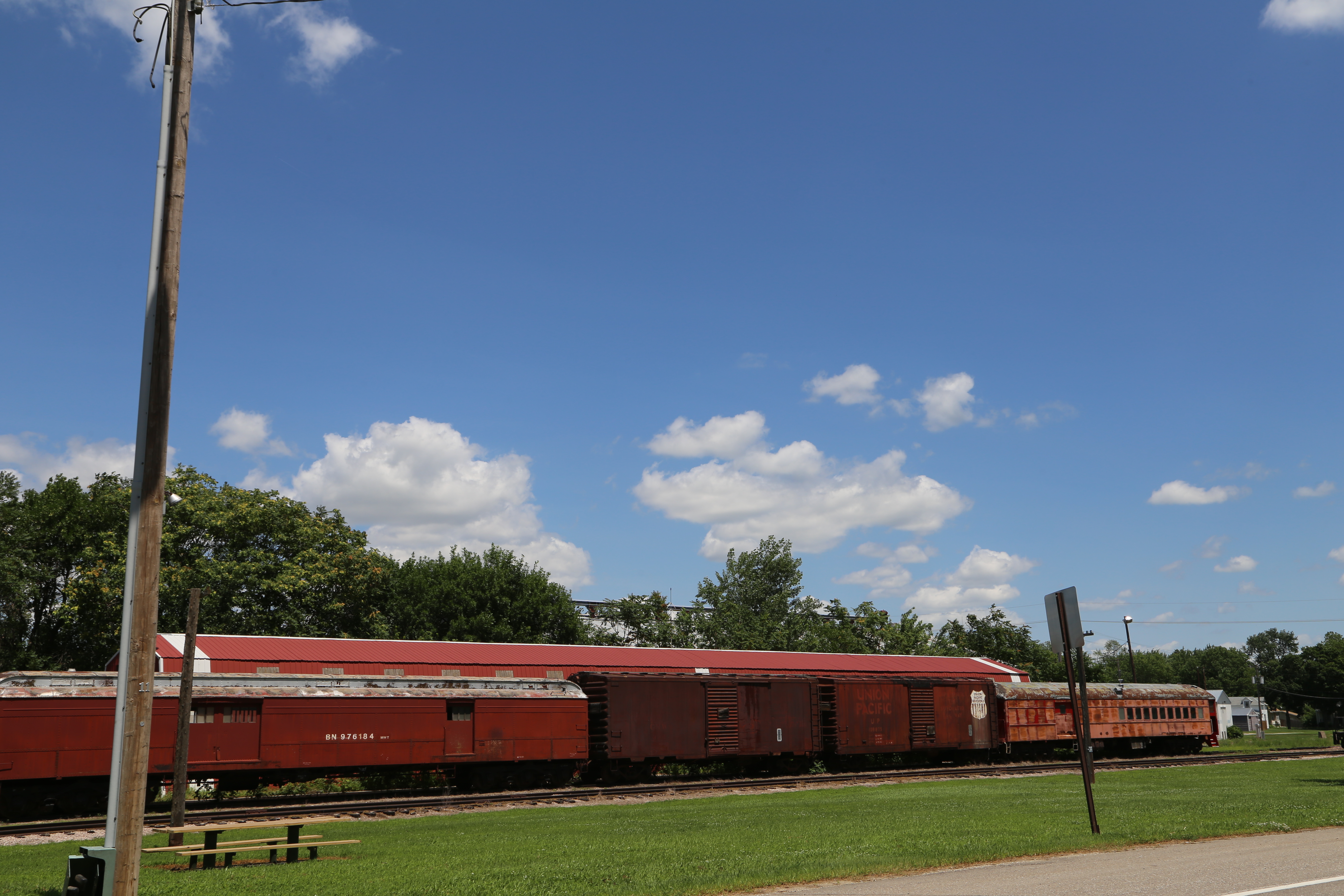
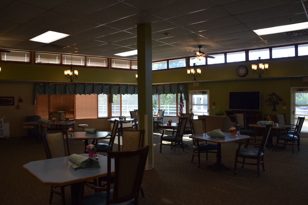
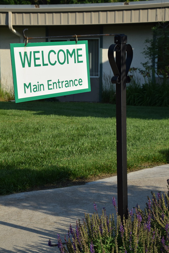
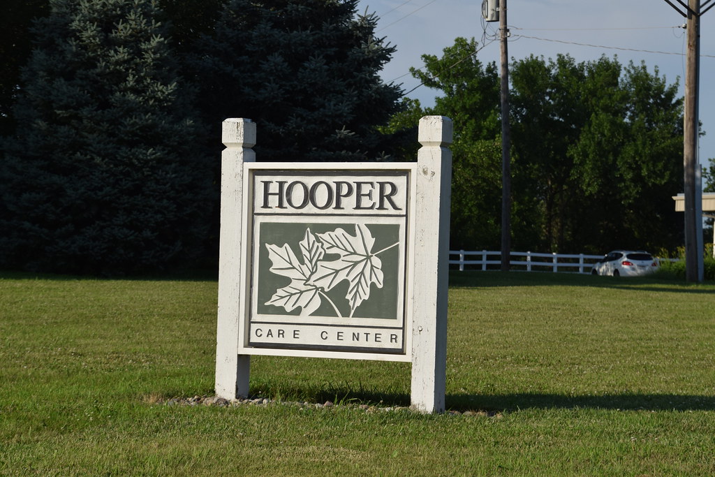
Hooper Nebraska, Dodge County NE

The middle of nowhere. #scotia #nebraska #farm #field

April 2011 Desktop
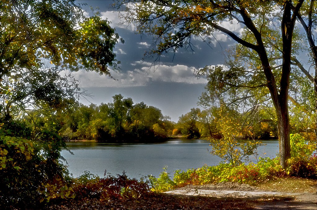
Through the Trees-3 & 2

Storm near Fremont
Masonic Lodge (Scribner, Nebraska)
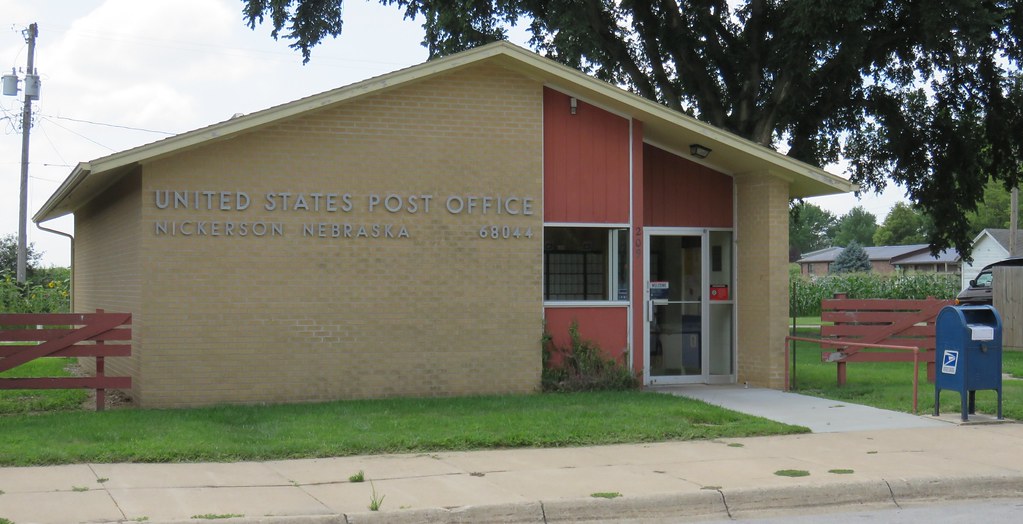
Post Office 68044 (Nickerson, Nebraska)
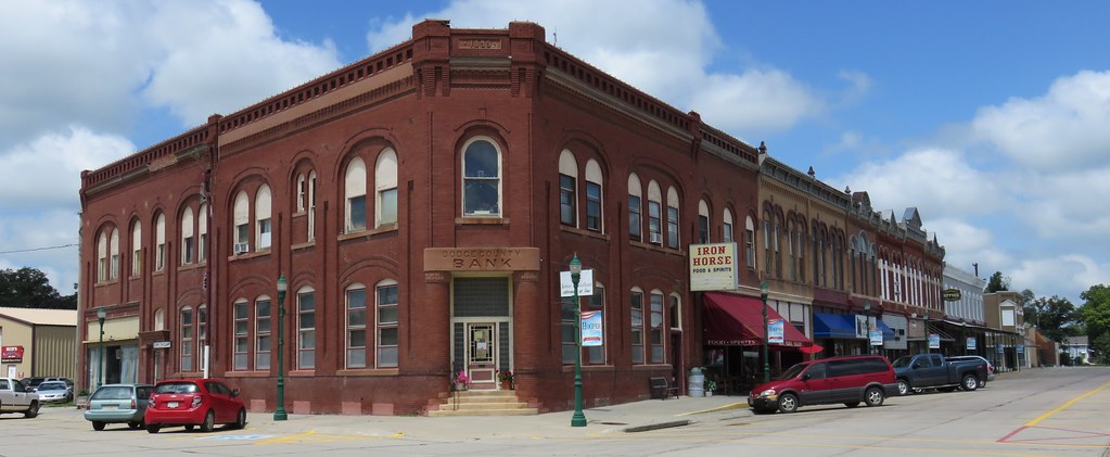
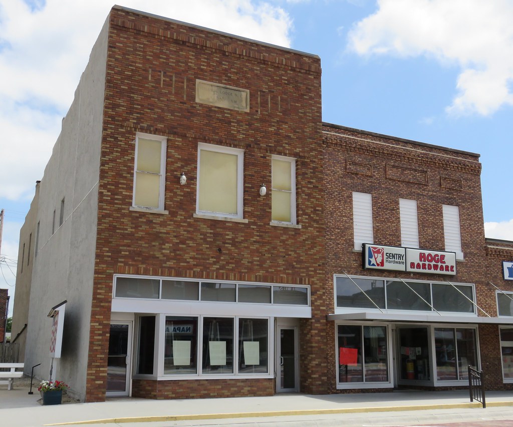
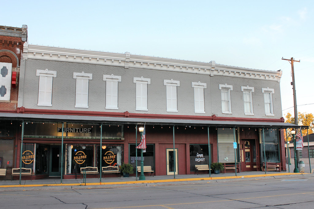
Historic Storefront Block (Hooper, Nebraska)
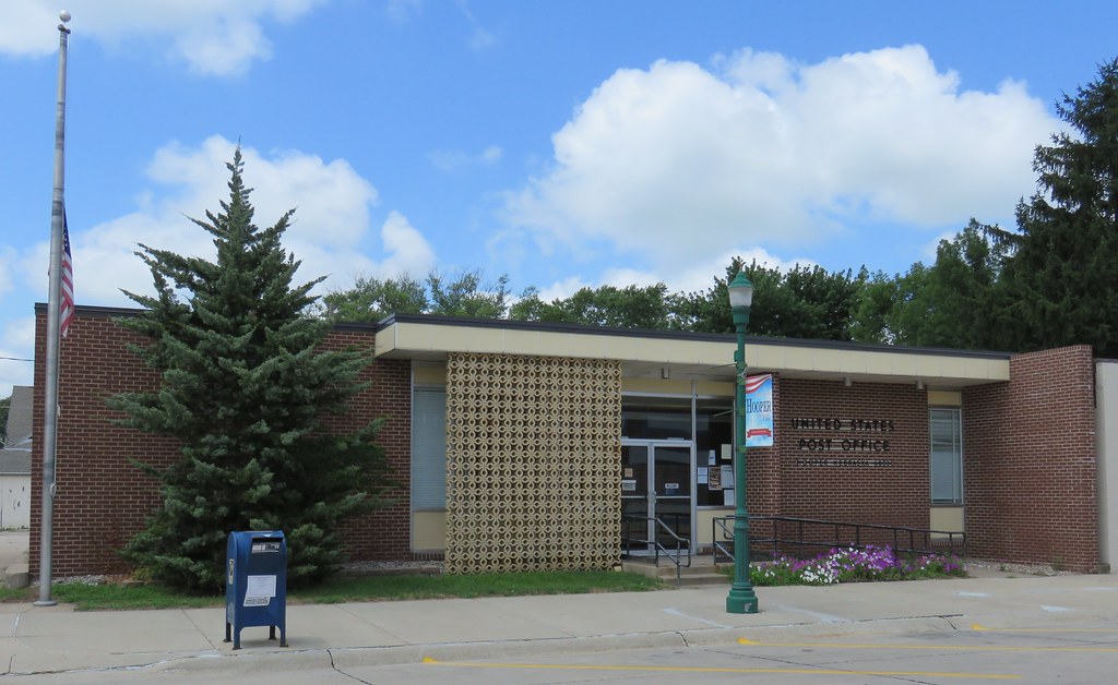
Post Office 68031 (Hooper, Nebraska)
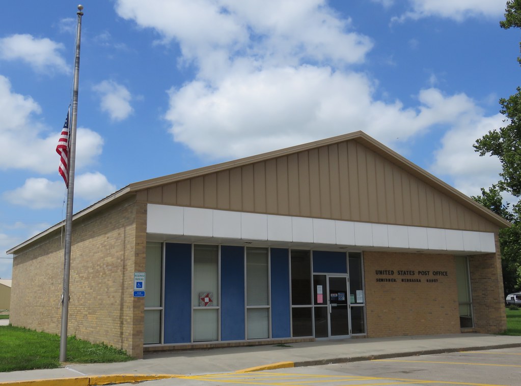
Post Office 68057 (Scribner, Nebraska)
Bucholz Bros. Building - Hooper, NE

Gazing into the forest
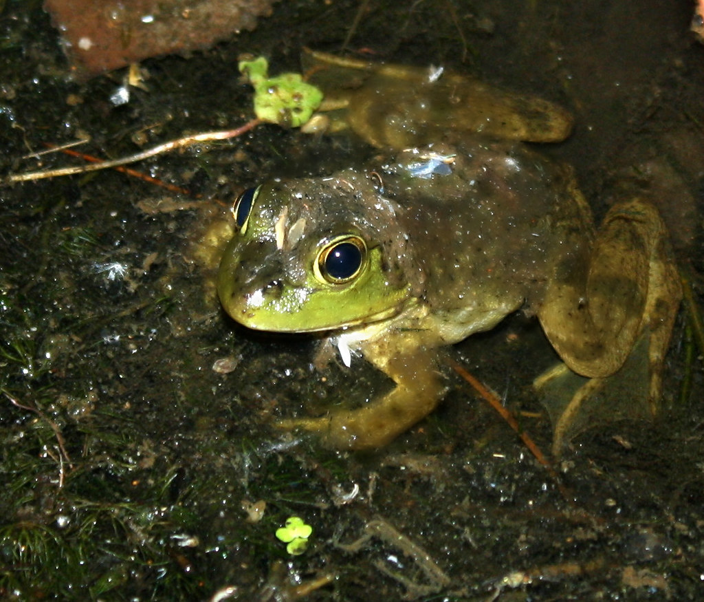
La Grenouille
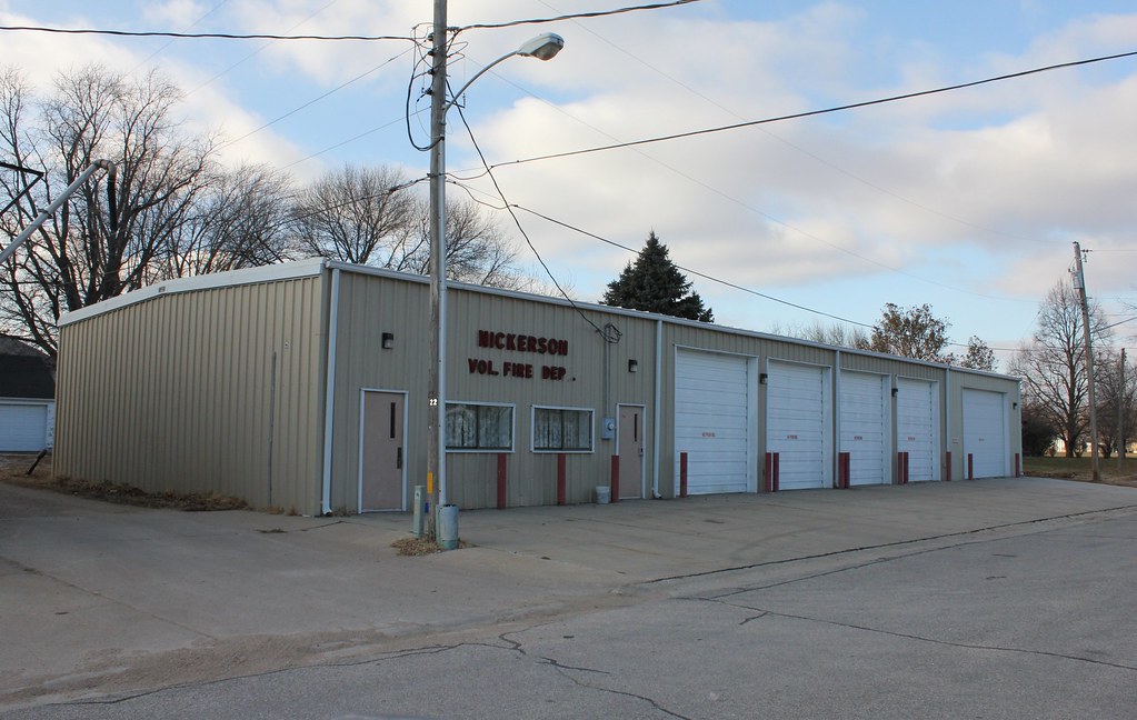
Fire Station - Nickerson, NE
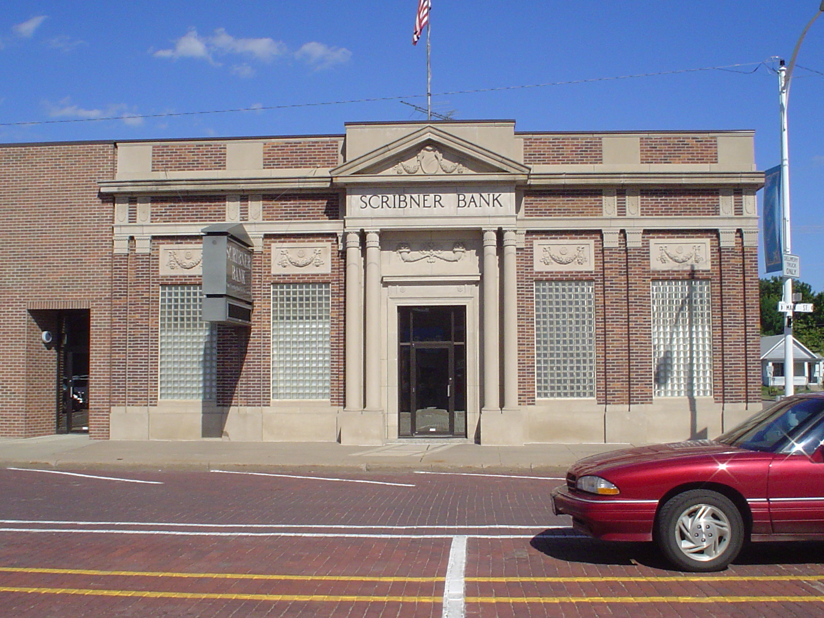
Scribner Bank

20180628 190737 1SL6
20180628 190215 1SL6
20180628 190133 1SL6

20180628 190106 1SL6
20180628 185122 1SL6
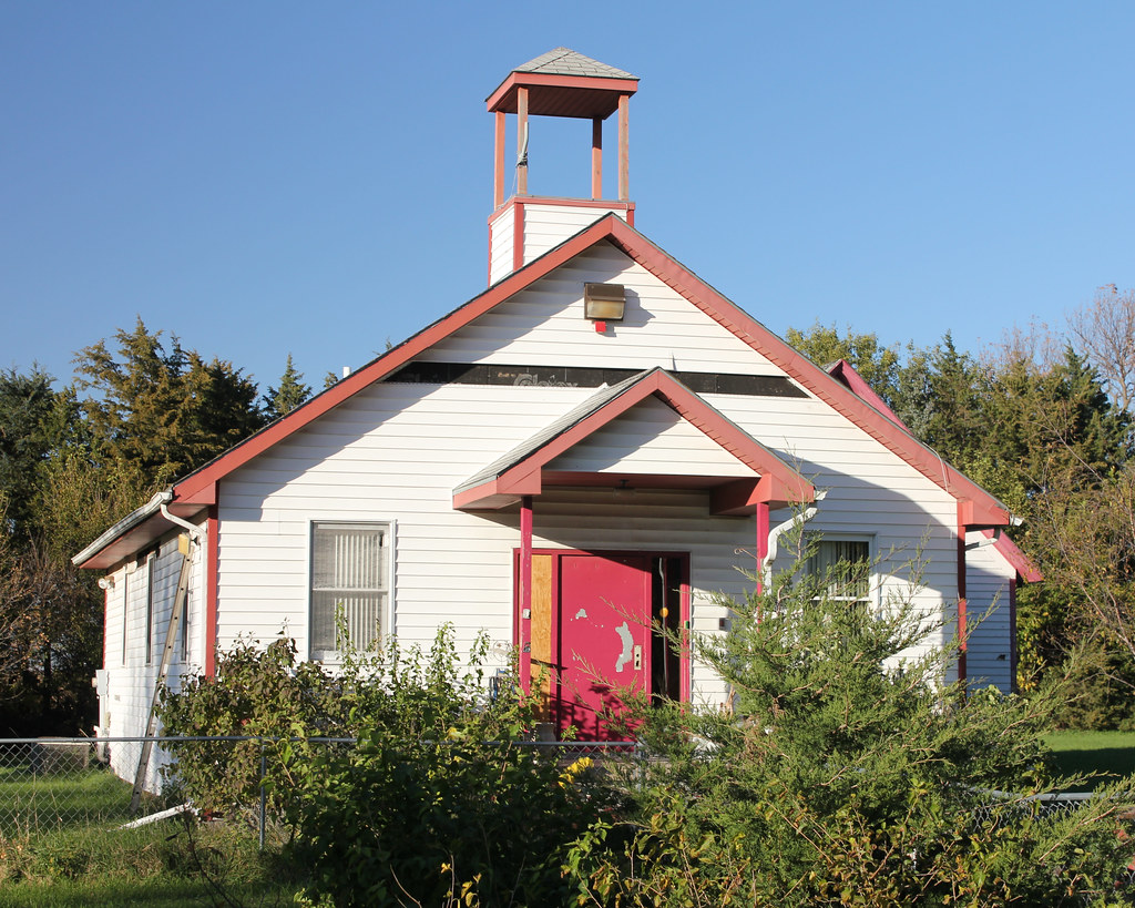
Rosedale School - rural Fremont, NE
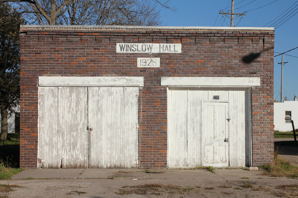
Winslow Hall - Winslow, NE
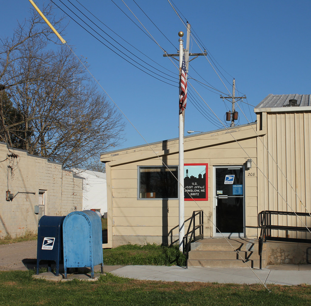
Post Office - Winslow, NE

Tanker 41, Winslow Rural Fire Dist. - Winslow, NE
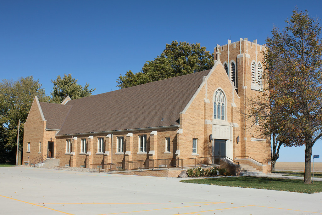
Immanuel Lutheran Church - rural Arlington, NE
Topographic Map of Co Rd 20, Hooper, NE, USA
Find elevation by address:

Places near Co Rd 20, Hooper, NE, USA:
Hooper
N Spring St, Hooper, NE, USA
404 N Main St
Hooper
1920 Co Rd I
Nickerson
Platte
2929 Dale St
Dodge County
2353 N Somers Ave
3010 N Clarkson St
Scribner
1549 N Keene Ave
2005 N Clarkson St
1452 Fairacres Dr
County Rd 15 Blvd, Ames, NE, USA
Ames
Midland University
Beegle Hall
Fremont
Recent Searches:
- Elevation of 6 Rue Jules Ferry, Beausoleil, France
- Elevation of Sattva Horizon, 4JC6+G9P, Vinayak Nagar, Kattigenahalli, Bengaluru, Karnataka, India
- Elevation of Great Brook Sports, Gold Star Hwy, Groton, CT, USA
- Elevation of 10 Mountain Laurels Dr, Nashua, NH, USA
- Elevation of 16 Gilboa Ln, Nashua, NH, USA
- Elevation of Laurel Rd, Townsend, TN, USA
- Elevation of 3 Nestling Wood Dr, Long Valley, NJ, USA
- Elevation of Ilungu, Tanzania
- Elevation of Yellow Springs Road, Yellow Springs Rd, Chester Springs, PA, USA
- Elevation of Rēzekne Municipality, Latvia