Elevation of Dale St, Fremont, NE, USA
Location: United States > Nebraska > Dodge County > Fremont >
Longitude: -96.515156
Latitude: 41.4568512
Elevation: 366m / 1201feet
Barometric Pressure: 97KPa
Elevation Map:
Satellite Map:
Related Photos:

UP 844 - Ames NE

BNSF 549 and company working at Fremont, NE
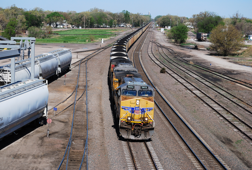
UP 5852 eastbound at Fremont, NE

UP and BNSF in Fremont, NE
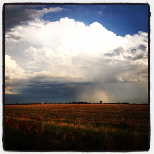
Springtime thunderstorm in Nebraska.

End of the day in #Nebraska. #whereintheworldisdean #explorewithdean #ruralamerica #trees #travel #instacool #instaphoto #picoftheday #photography #amazing #america #adventure #allshots_ #sunsets #fun #followme #grass #hope #learning #cool #clouds #beauty
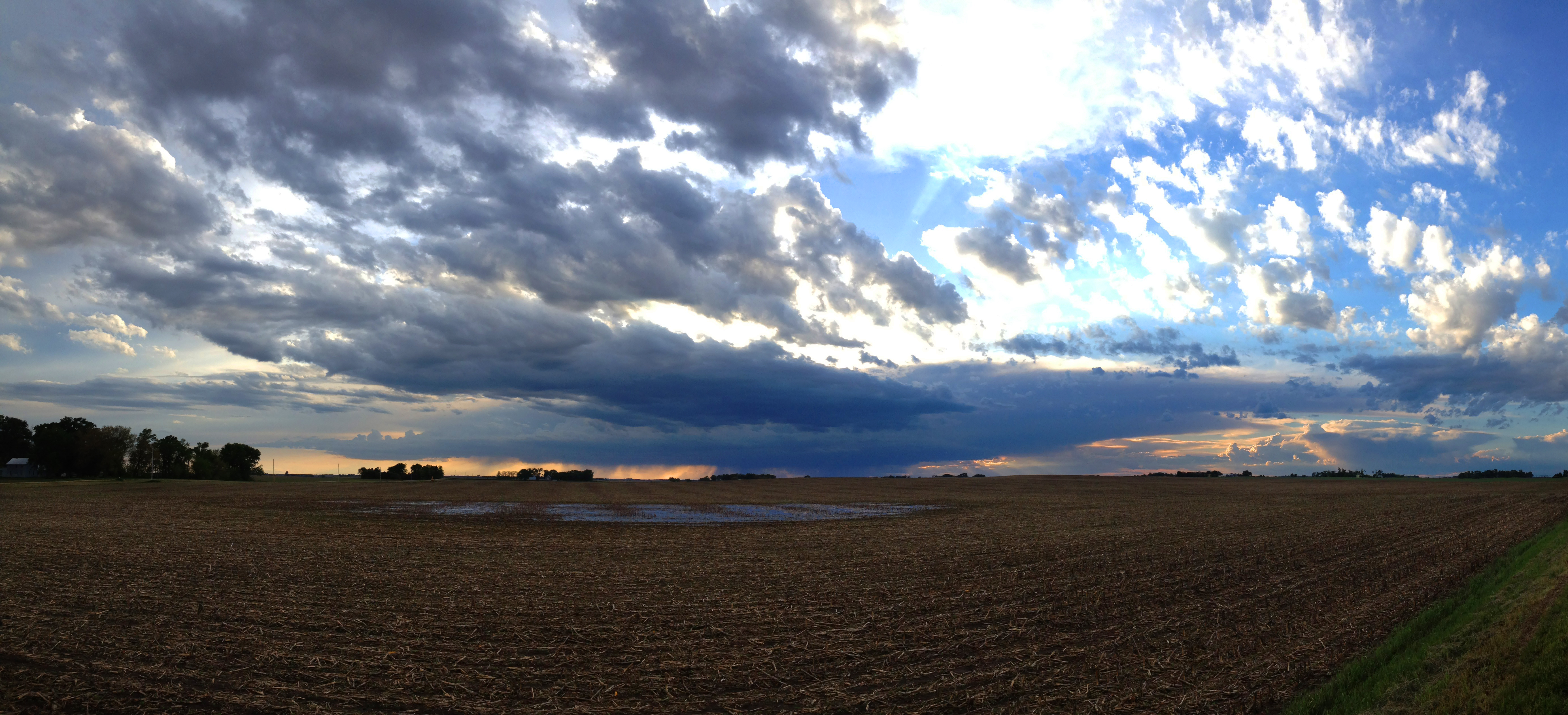
Farmland Cloudscape
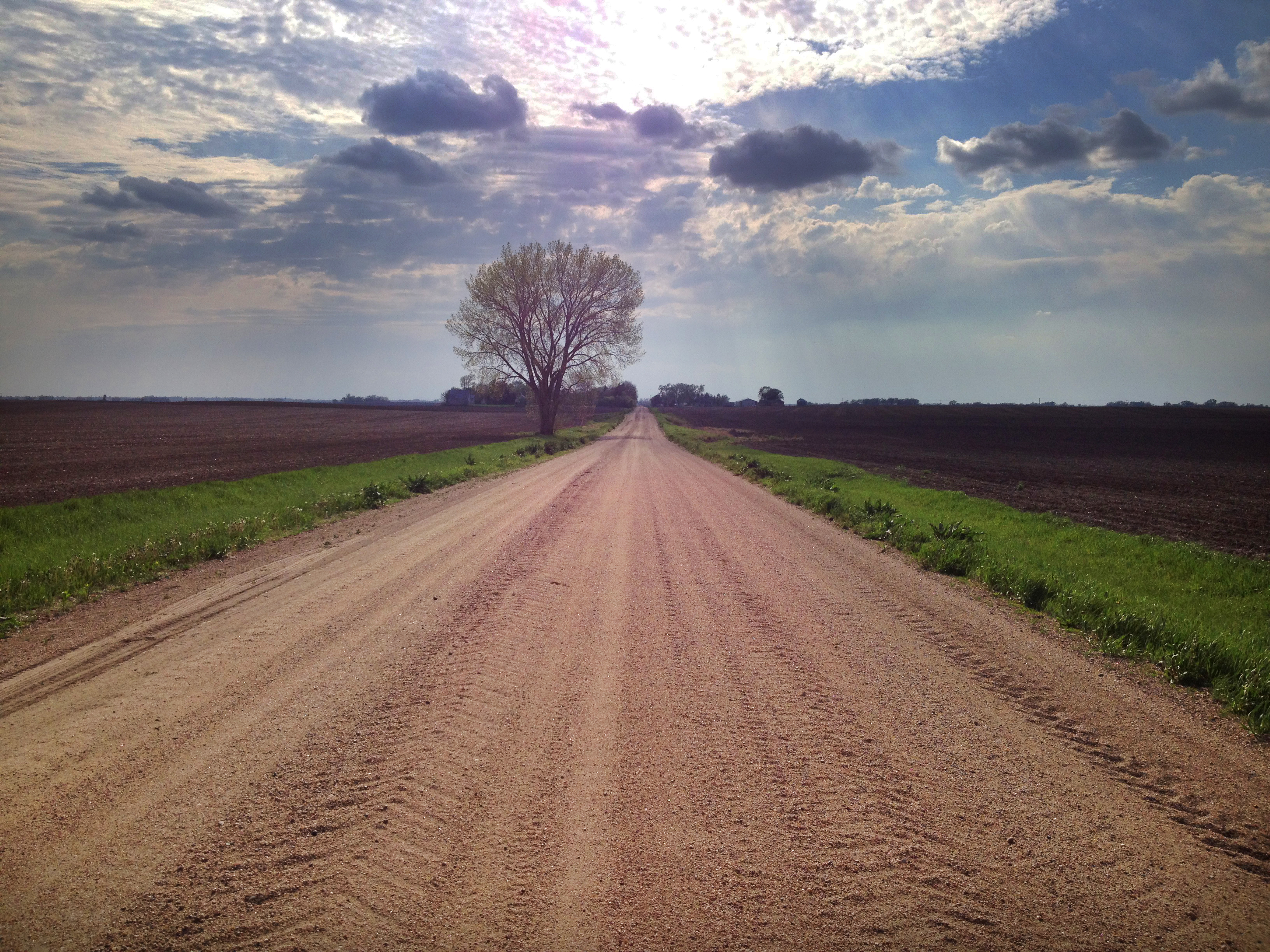
Spring Tree

The middle of nowhere. #scotia #nebraska #farm #field

April 2011 Desktop

Through the Trees-3 & 2
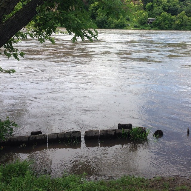
The Platte River is running full near Fremont Nebraska. #rivers #followme #explorewithdean #whereintheworldisdean #ruralamerica #america #america #beauty #nature

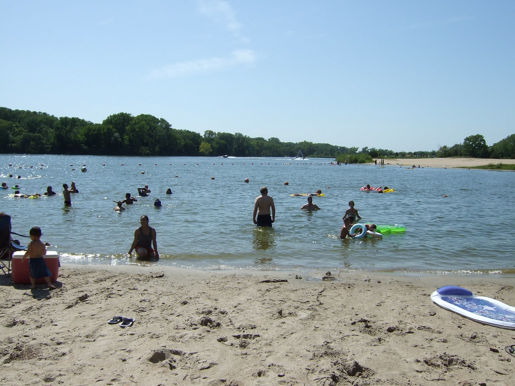
Fremont Lakes NE
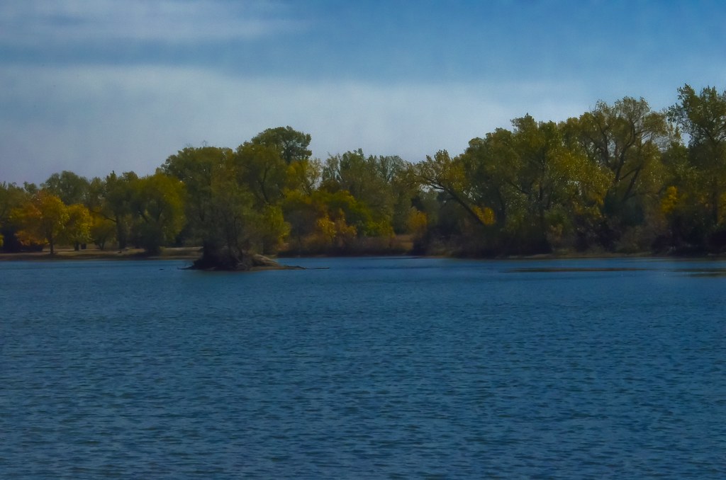
Nebraska Lake
DSCF0001.JPG
Topographic Map of Dale St, Fremont, NE, USA
Find elevation by address:

Places near Dale St, Fremont, NE, USA:
2353 N Somers Ave
1549 N Keene Ave
2005 N Clarkson St
3010 N Clarkson St
Fremont
205 S L St
N Broad St, Fremont, NE, USA
250 S L St
350 S L St
Midland University
350 S H St
North Drive
187 North Dr
177 North Dr
450 S H St
Beegle Hall
650 Us-77
1452 Fairacres Dr
750 S Broad St
821 S Broad St
Recent Searches:
- Elevation of Gateway Blvd SE, Canton, OH, USA
- Elevation of East W.T. Harris Boulevard, E W.T. Harris Blvd, Charlotte, NC, USA
- Elevation of West Sugar Creek, Charlotte, NC, USA
- Elevation of Wayland, NY, USA
- Elevation of Steadfast Ct, Daphne, AL, USA
- Elevation of Lagasgasan, X+CQH, Tiaong, Quezon, Philippines
- Elevation of Rojo Ct, Atascadero, CA, USA
- Elevation of Flagstaff Drive, Flagstaff Dr, North Carolina, USA
- Elevation of Avery Ln, Lakeland, FL, USA
- Elevation of Woolwine, VA, USA