Elevation of County Road W51, Co Rd W51, Lyons, NE, USA
Location: United States > Nebraska > Burt County > Logan >
Longitude: -96.380315
Latitude: 42.0026605
Elevation: 409m / 1342feet
Barometric Pressure: 97KPa
Elevation Map:
Satellite Map:
Related Photos:
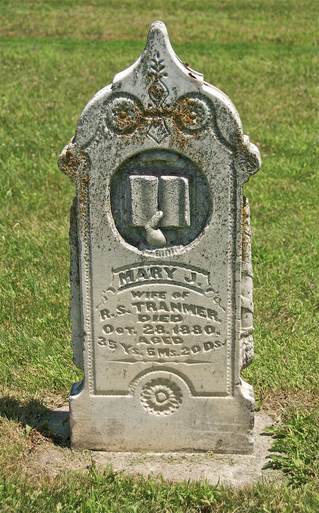
Mary J

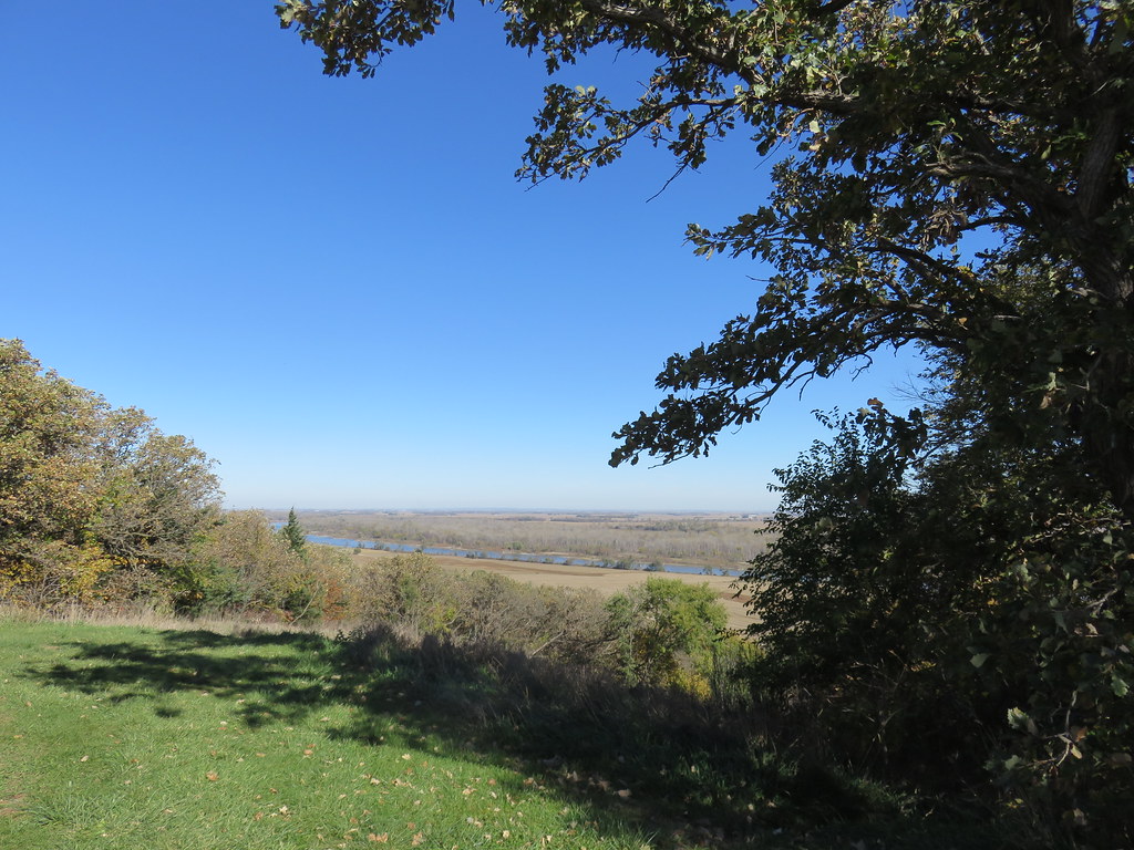
Missouri Overlook Panorama

Rural Nebraska
Missouri River Valley (Burt County, Nebraska)
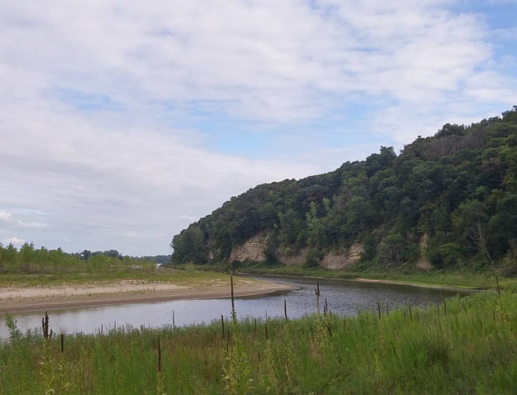
Google maps says there's a road between the river and that cliff. Oops. Back up the hill. I did get to see some pretty sweet cliff walls up close. #latergram #deadend #MissouriValley #googlemaps

Nebraska Field Panarama
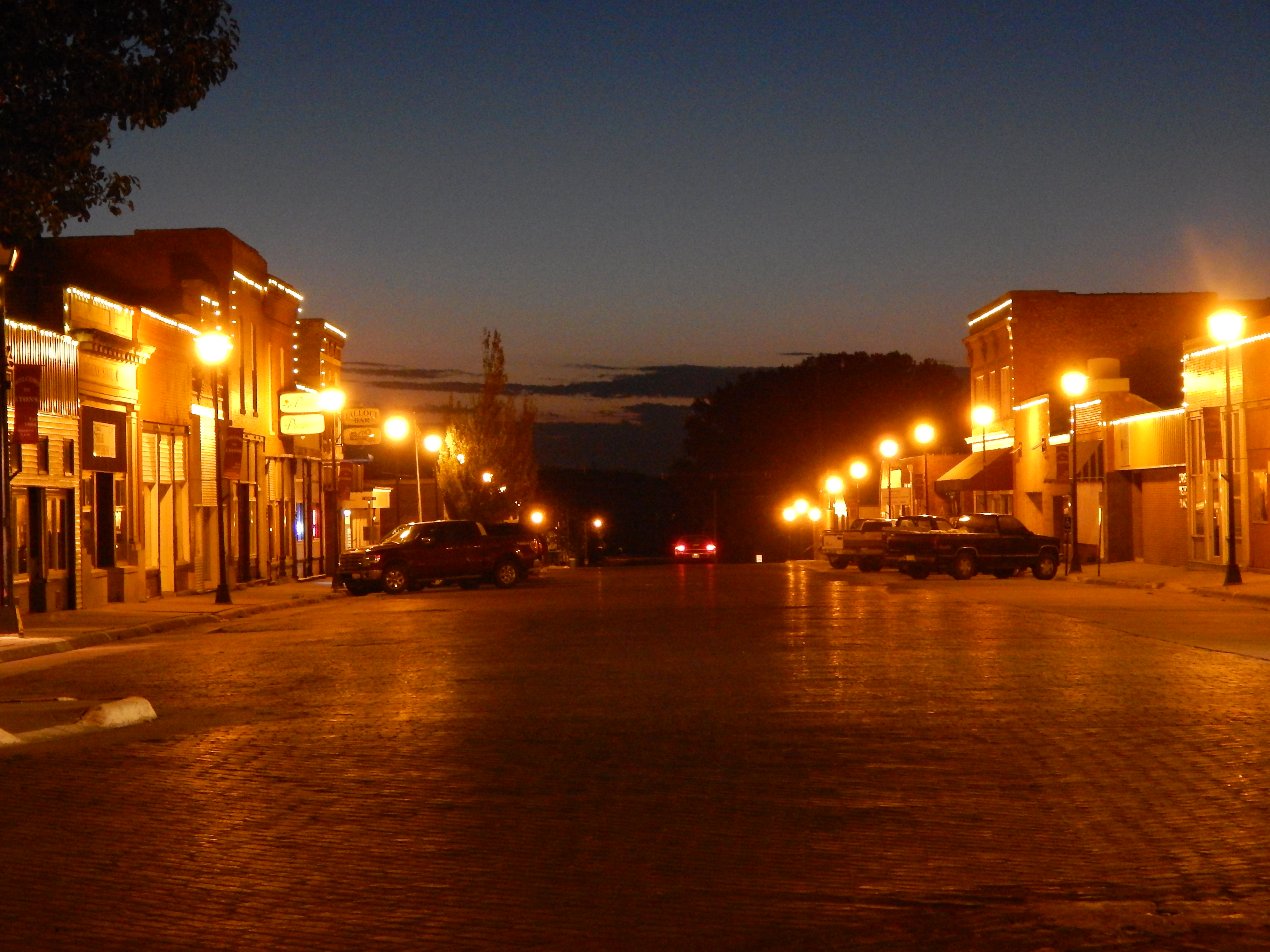
Lyons, NE (Population 851)

Omaha Indian Reservation Landscape (Thurston County, Nebraska)
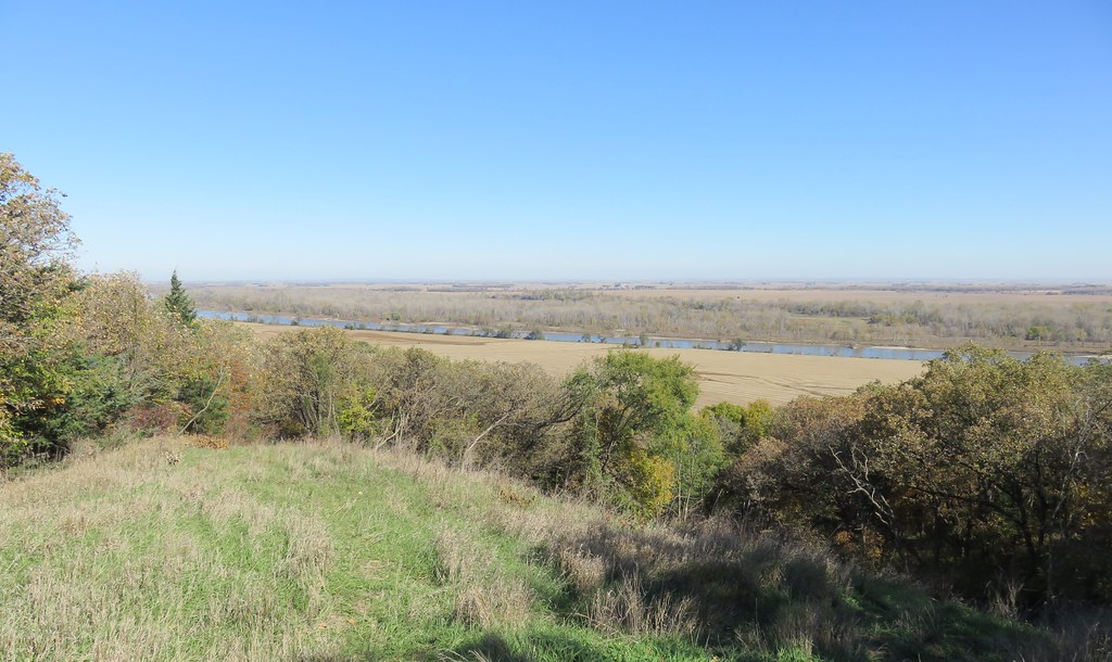
Missouri River Valley (Burt County, Nebraska)

Missouri River Valley (Burt County, Nebraska)

Eyeballin'
Topographic Map of County Road W51, Co Rd W51, Lyons, NE, USA
Find elevation by address:

Places near County Road W51, Co Rd W51, Lyons, NE, USA:
Logan
Decatur
1875 County Rd S T
Lyons
N Main St, Lyons, NE, USA
Decatur
Everett
10224 130th St
County Road S
Main St, Walthill, NE, USA
Oakland
Burt County
Fairview
Quinnebaugh
Craig
Thurston County
Craig
21 Ne-32
21 Ne-32
2650 Iowa Ave N
Recent Searches:
- Elevation of Congressional Dr, Stevensville, MD, USA
- Elevation of Bellview Rd, McLean, VA, USA
- Elevation of Stage Island Rd, Chatham, MA, USA
- Elevation of Shibuya Scramble Crossing, 21 Udagawacho, Shibuya City, Tokyo -, Japan
- Elevation of Jadagoniai, Kaunas District Municipality, Lithuania
- Elevation of Pagonija rock, Kranto 7-oji g. 8"N, Kaunas, Lithuania
- Elevation of Co Rd 87, Jamestown, CO, USA
- Elevation of Tenjo, Cundinamarca, Colombia
- Elevation of Côte-des-Neiges, Montreal, QC H4A 3J6, Canada
- Elevation of Bobcat Dr, Helena, MT, USA