Elevation of Coyote, CA, USA
Location: United States > California > Santa Clara County >
Longitude: -121.70814
Latitude: 37.1911821
Elevation: 90m / 295feet
Barometric Pressure: 100KPa
Elevation Map:
Satellite Map:
Related Photos:
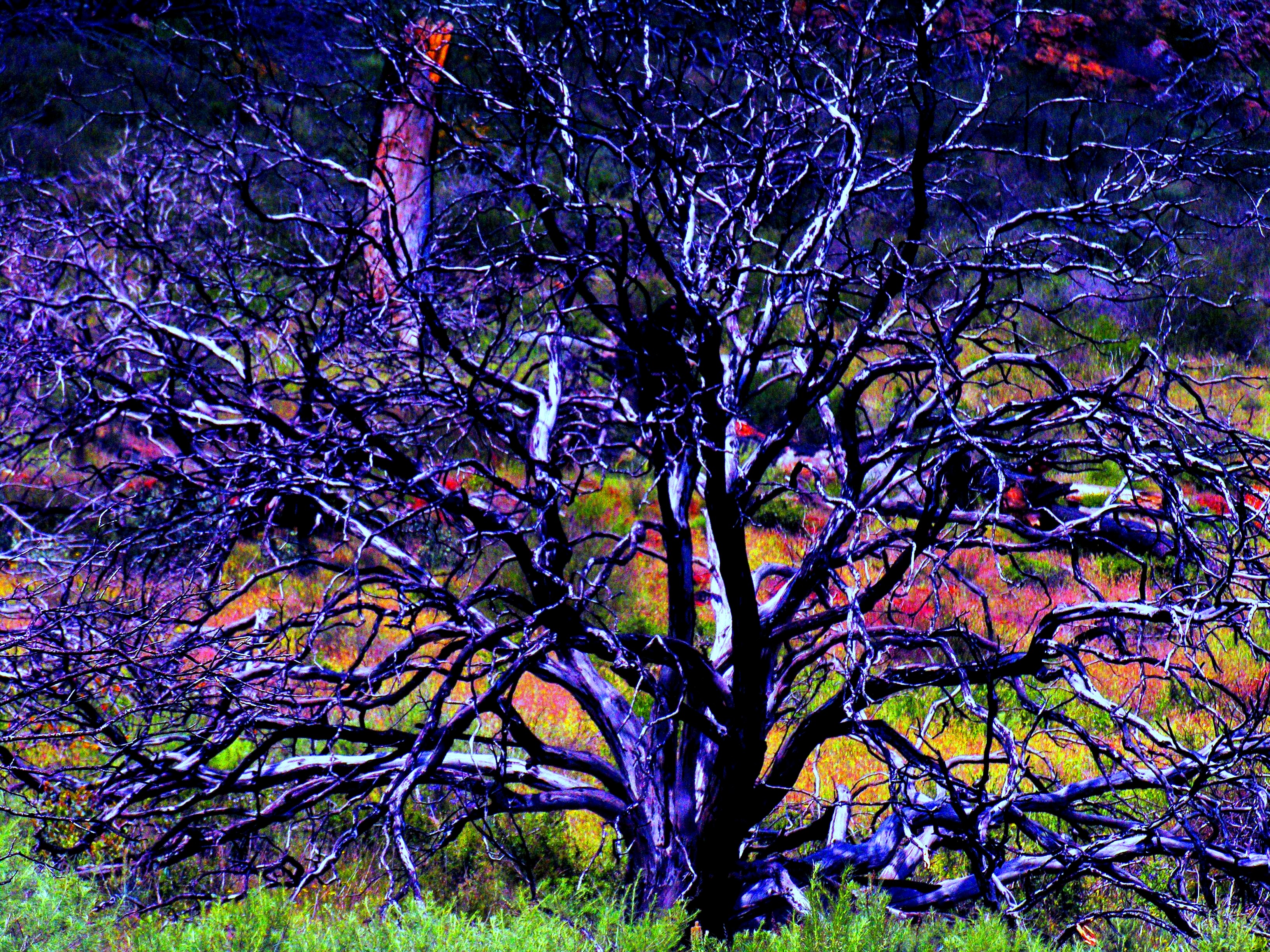
Burned Tree
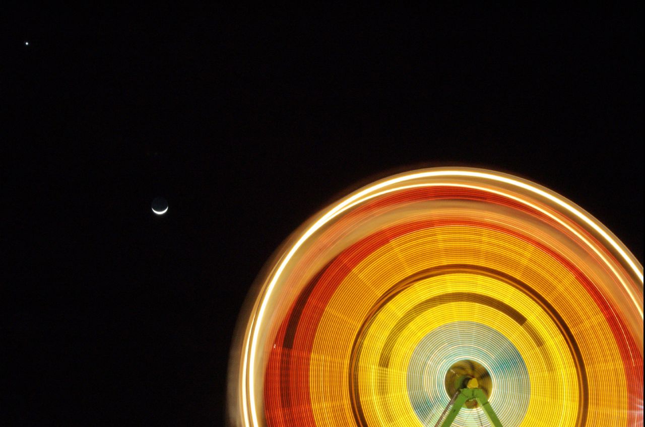
Revolution x3
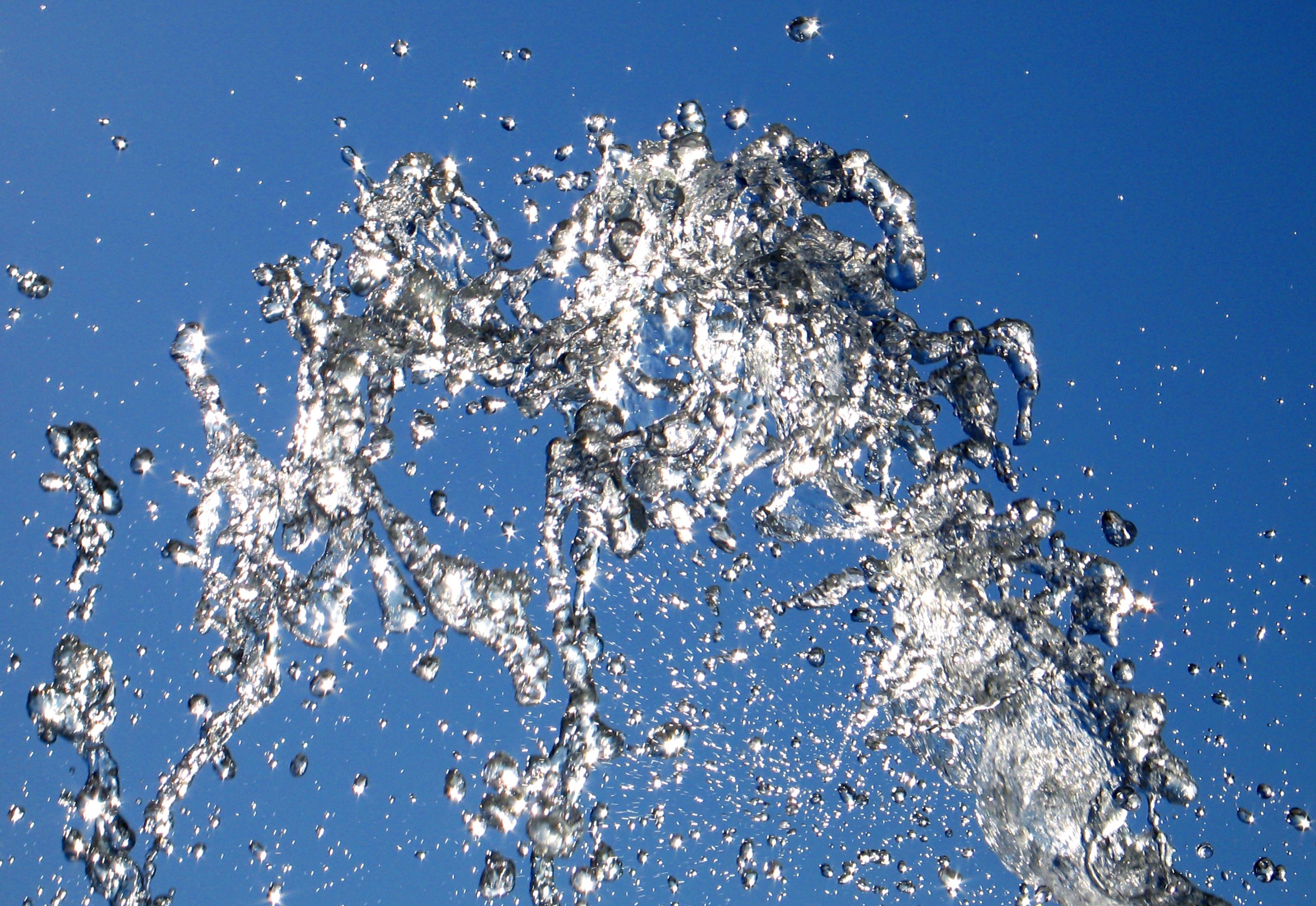
Lucy In The Sky With Diamonds!
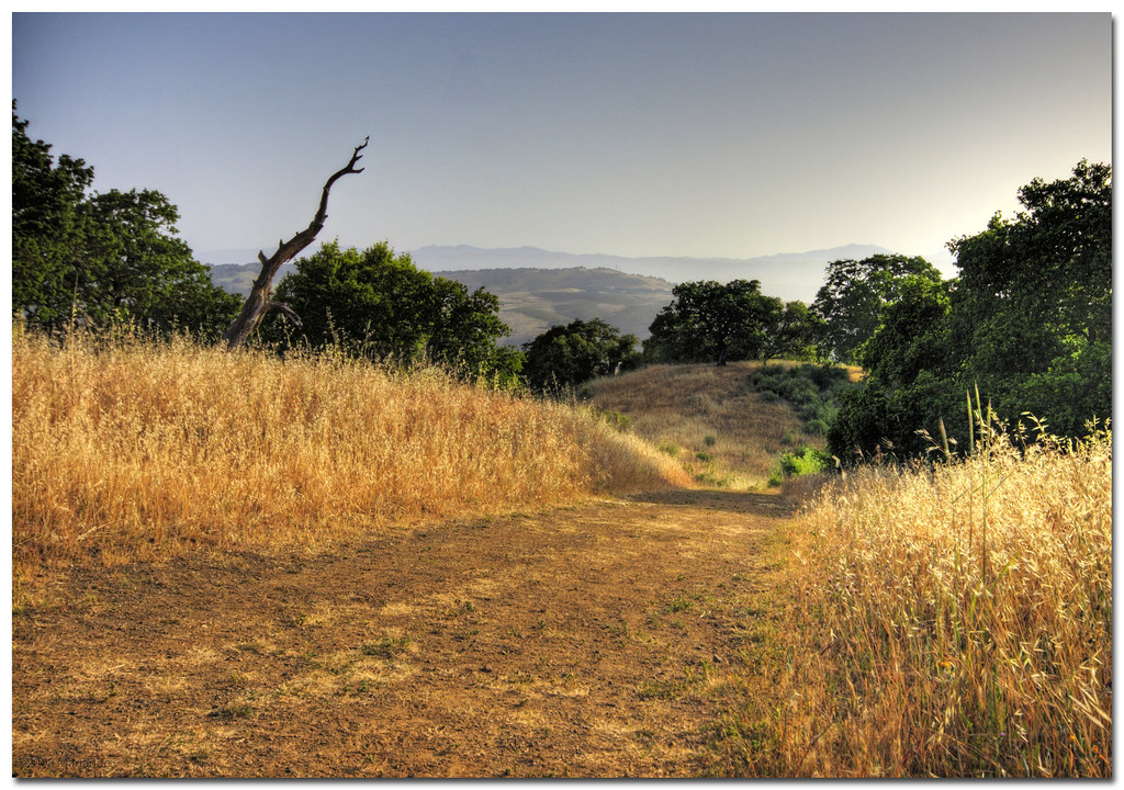
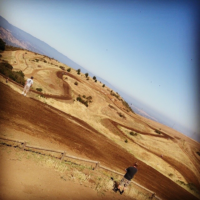
UP HIGH
Awesome views, hard to keep it on two wheels! Thanks for the prep @garrahan129m

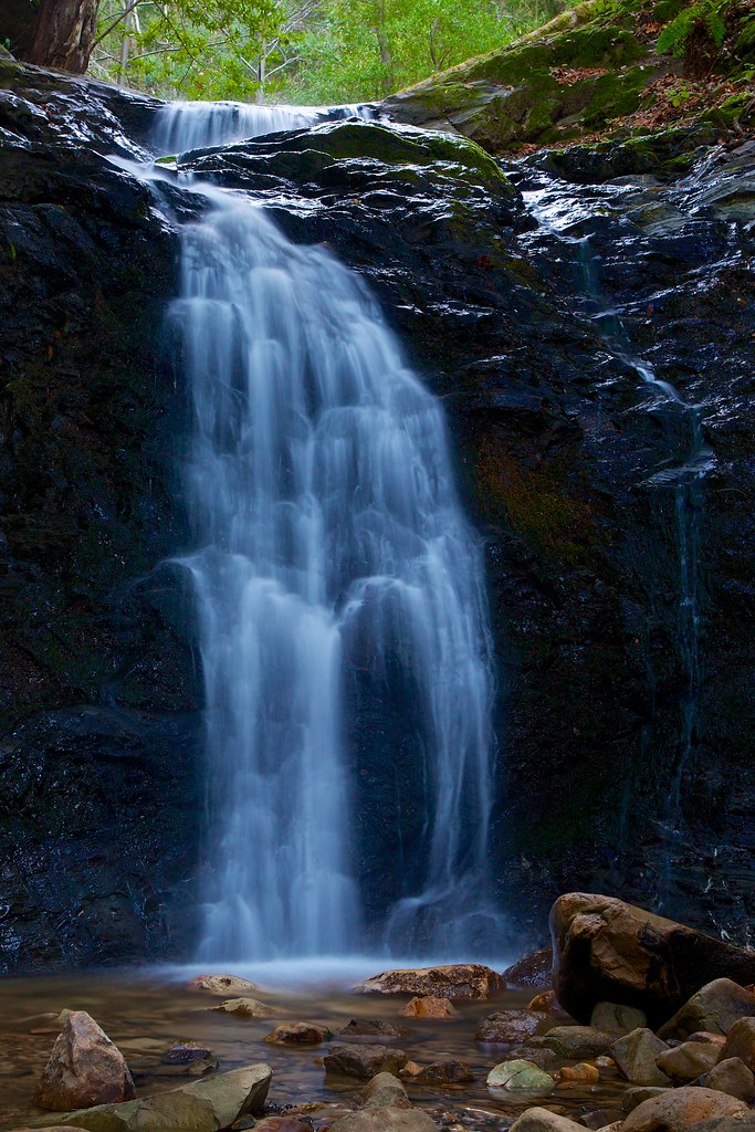
Uvas-Canyon_02

Pushed hard up the hill & flew back down. Stoked on that last mile, sub 7'00" miles are the best way to finish. Oh, and this view at the start? Not bad for an 'at pace' snap. #RunningWhileShooting #NikePlus #GetOnnit #RunLocal

Afternoon Visitor

Horned Wonder
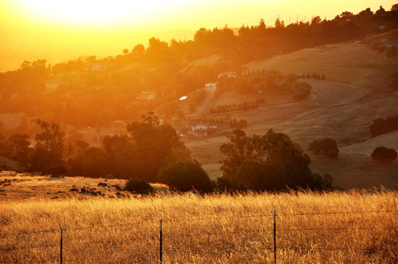
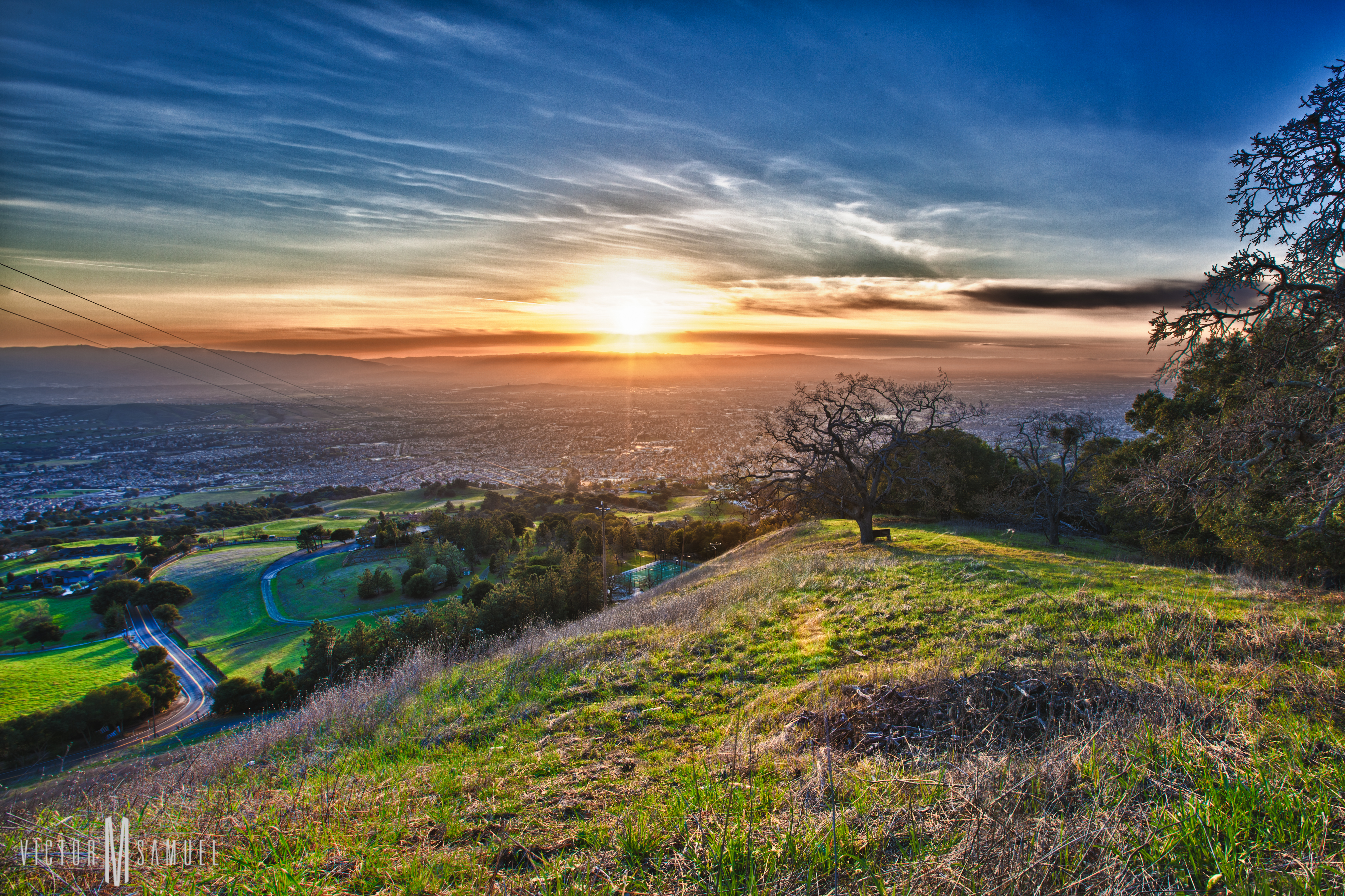
Sunset over the Valley
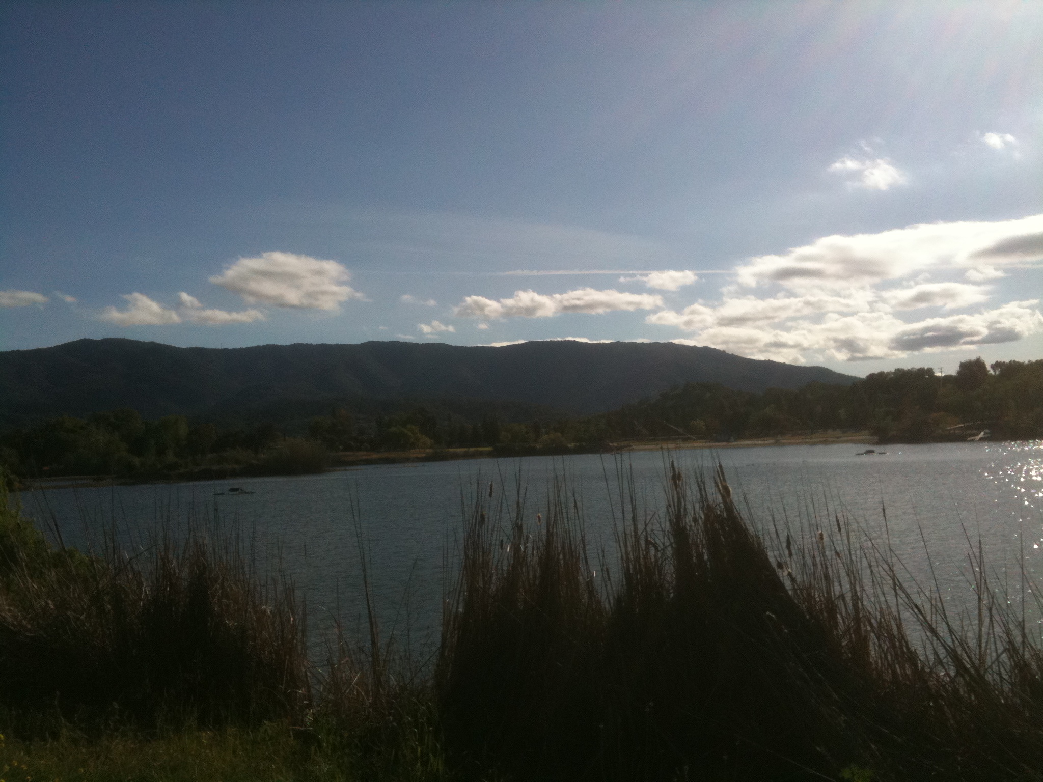
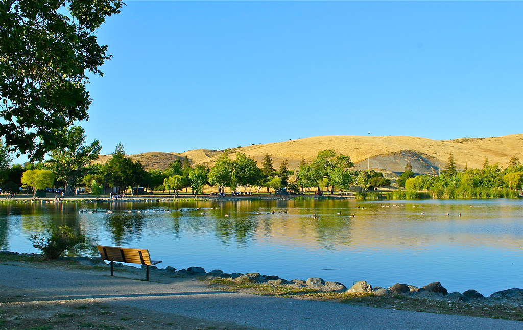
almaden lake
Ah....Spring

remnants of a deeper purity
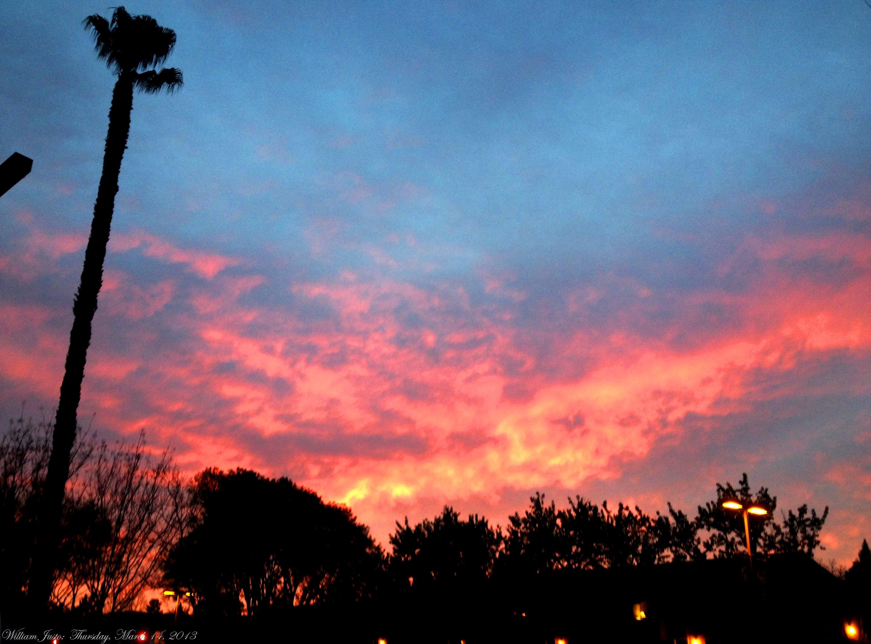
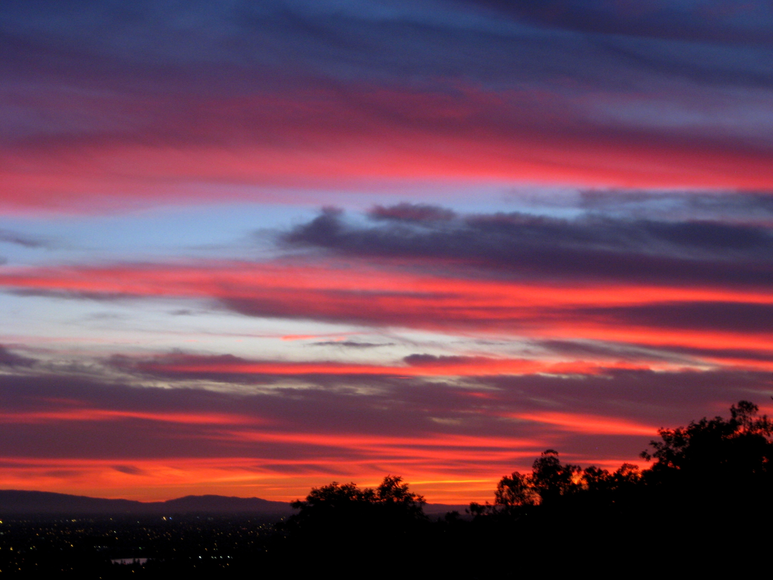
The Sky Is On Fire! (3-14-13)

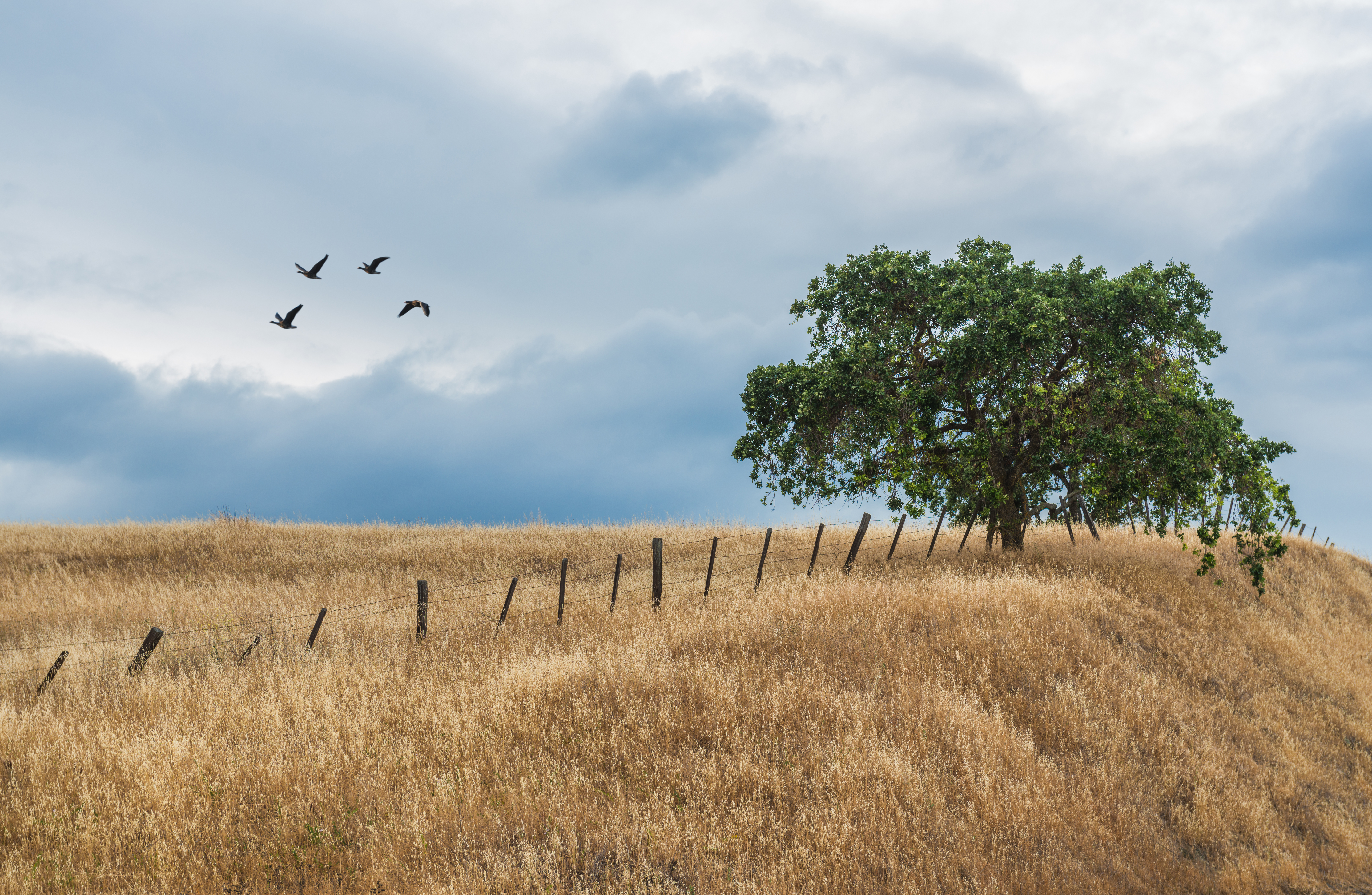
Out to Pasture
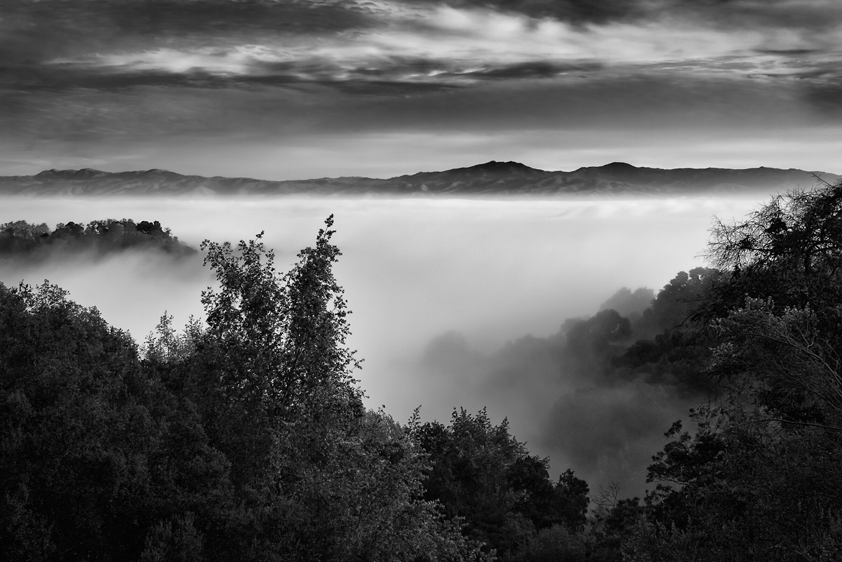
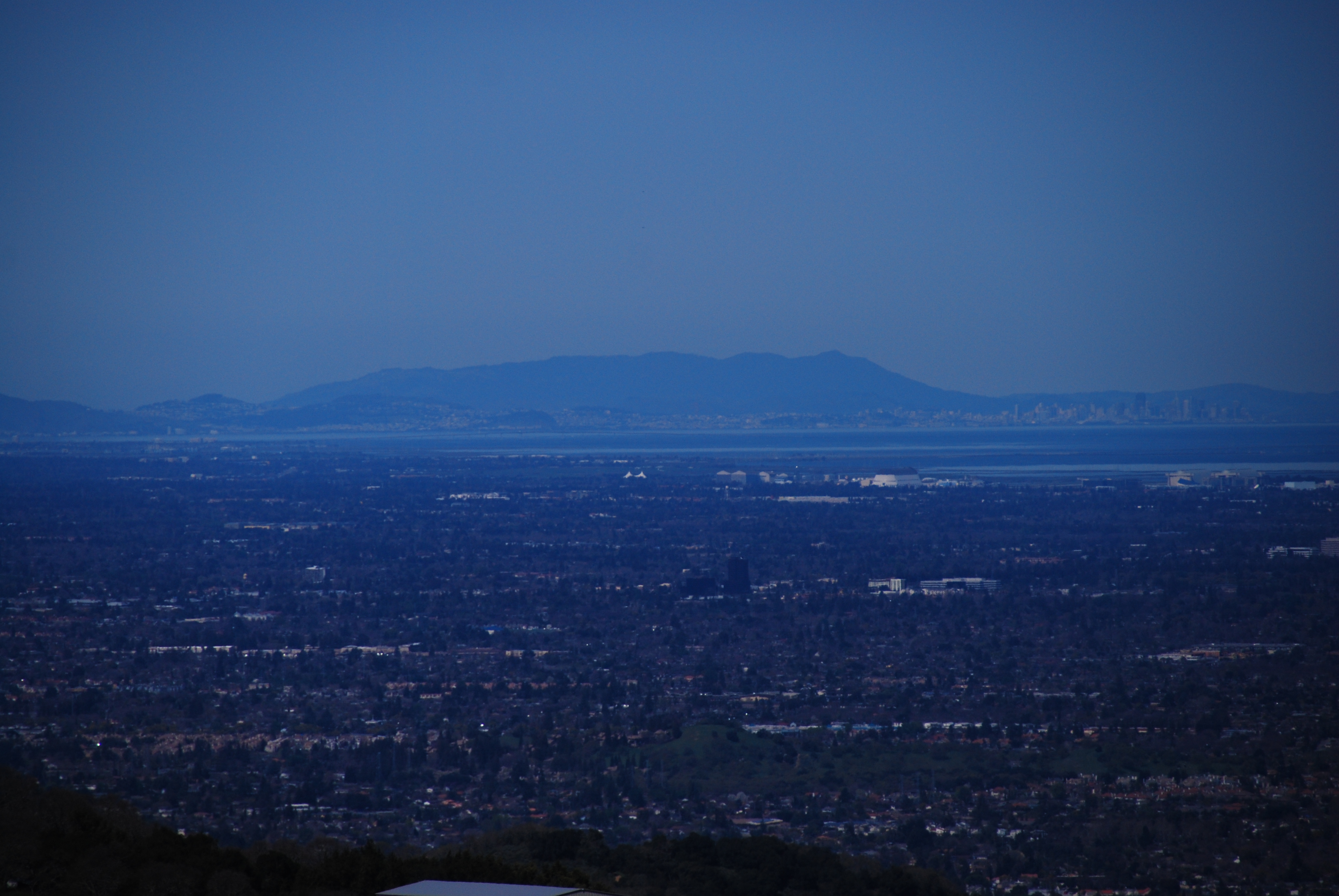
Fog over the Valley
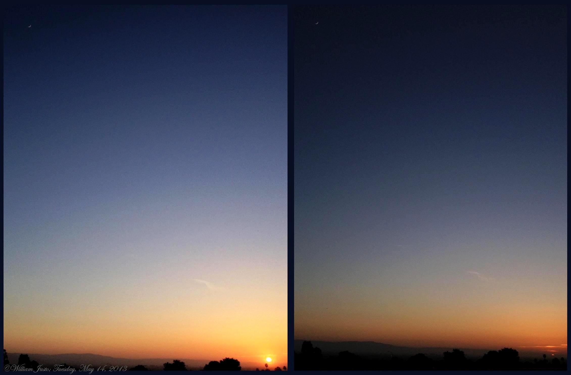
Where The Moon Meets The Sun (5-14-13)
Hellyer County Park
Joseph D. Grant views
Incredible Views
A Fiery Sunset Above San Jose, CA! (6-16-12) Photo #1

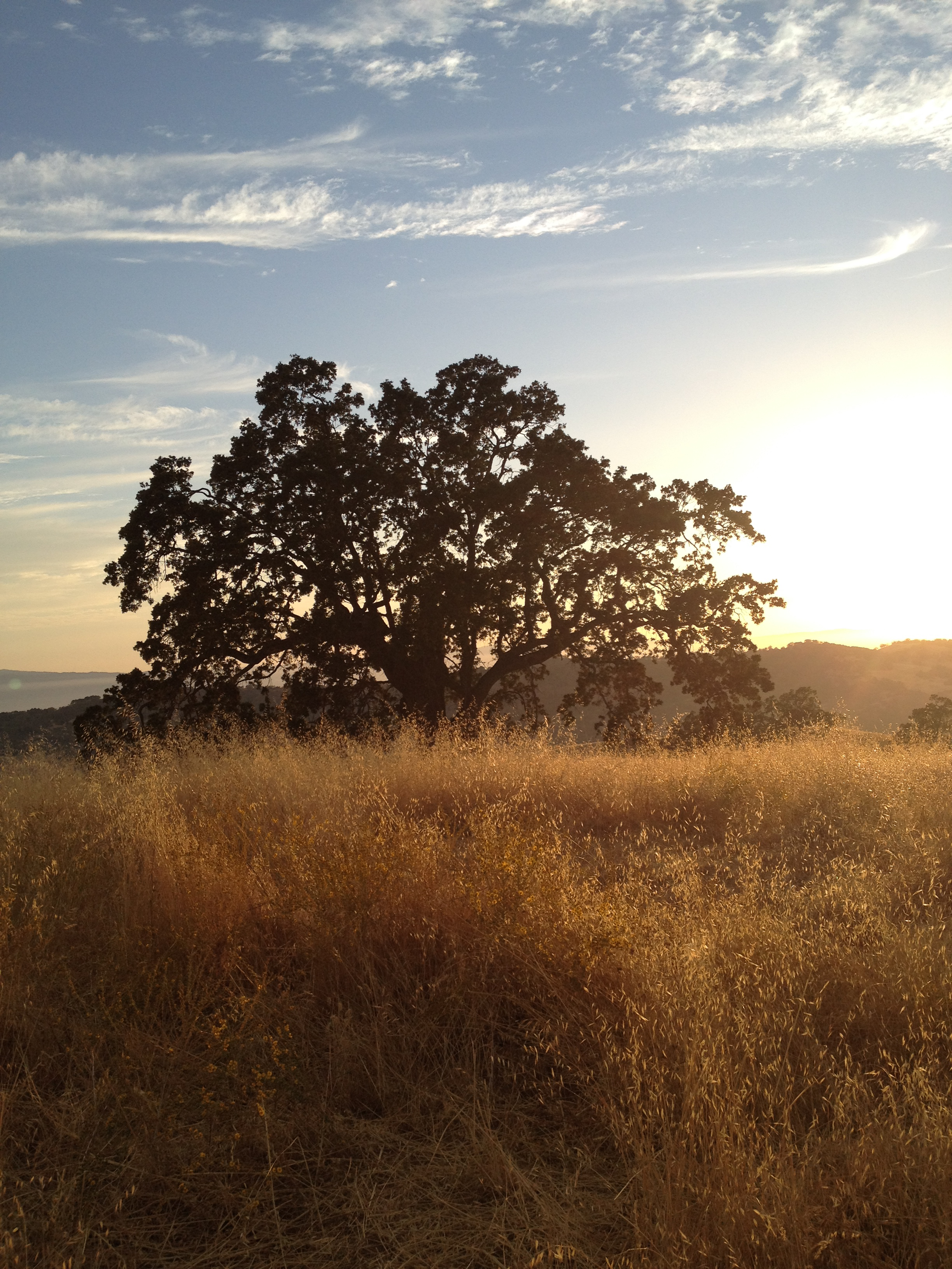
lone tree hill
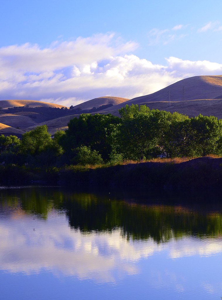
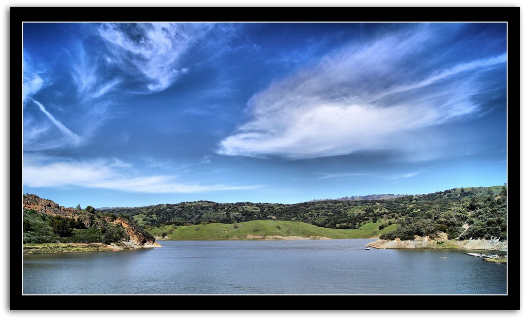
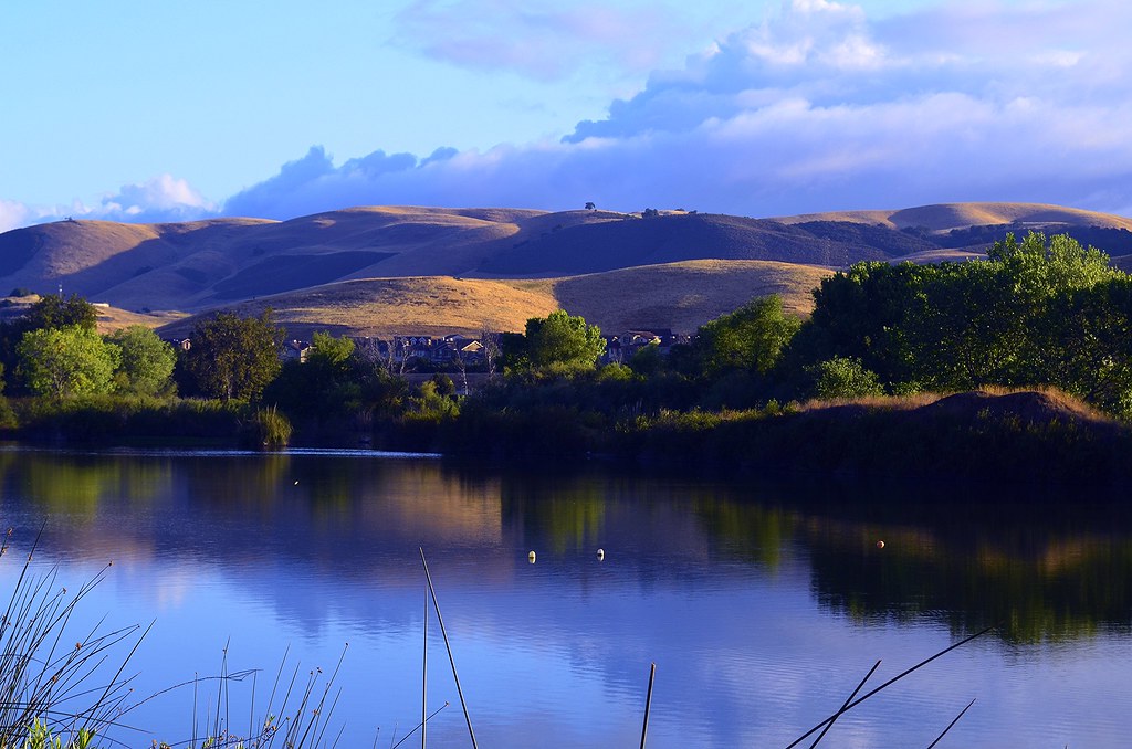
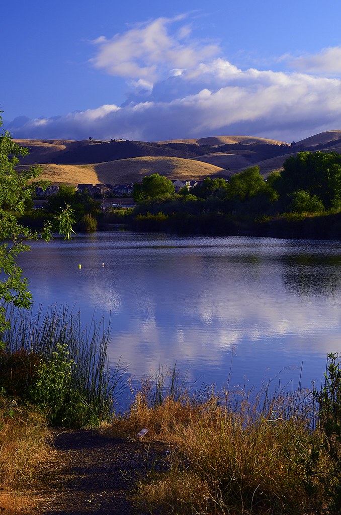
CayoteCreekReservoir #1 ~~
CayoteCreekReservoir #2 ~~
I love spring...
DSC_3678.JPG

1st 5K this morning! 28 mins + this snap!
Welcoming the rain
CayoteCreekReservoir #3 ~~

San Jose Sky Trails

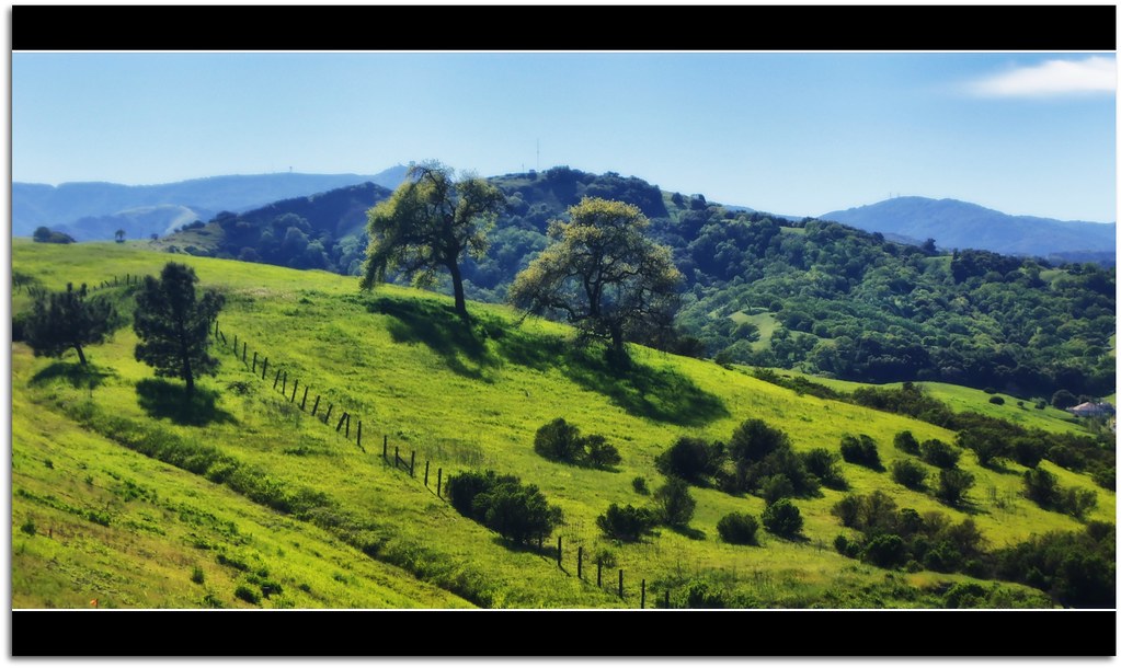
Spring in Southern Santa Clara County. What is green will be golden soon.
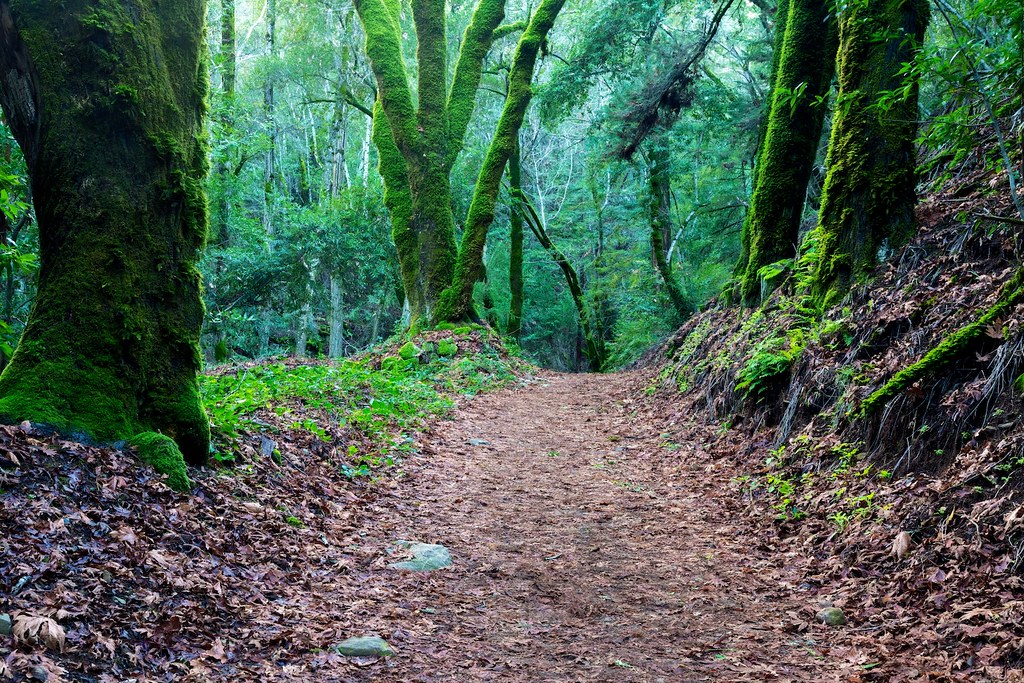
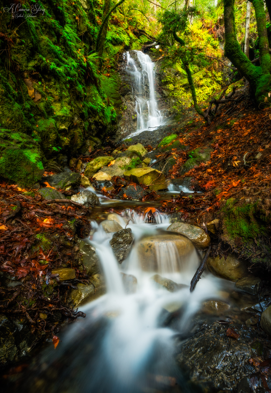
Amid Mossy Trees
Near Uvas Canyon, Overcast
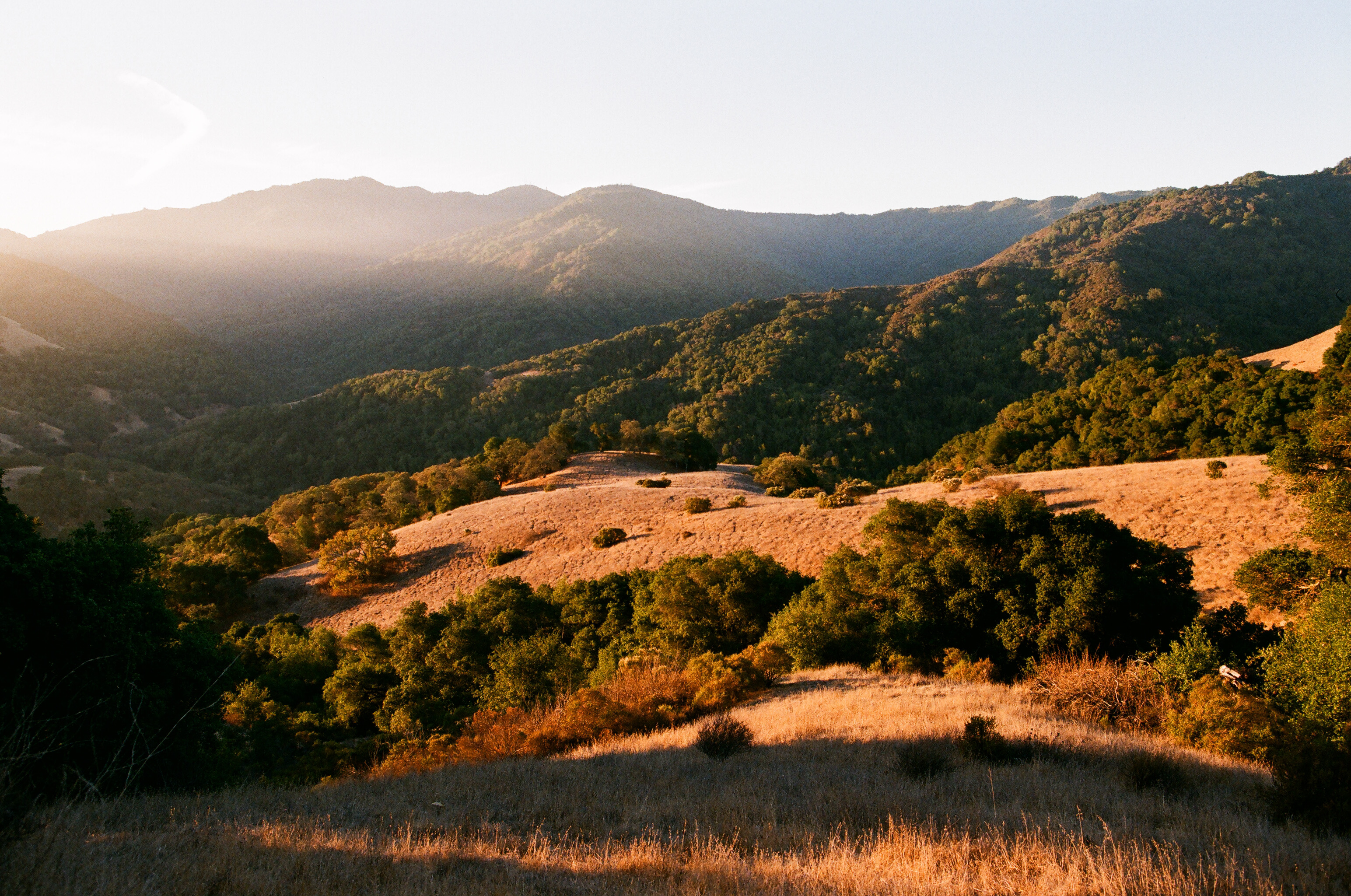
Sierra Azul
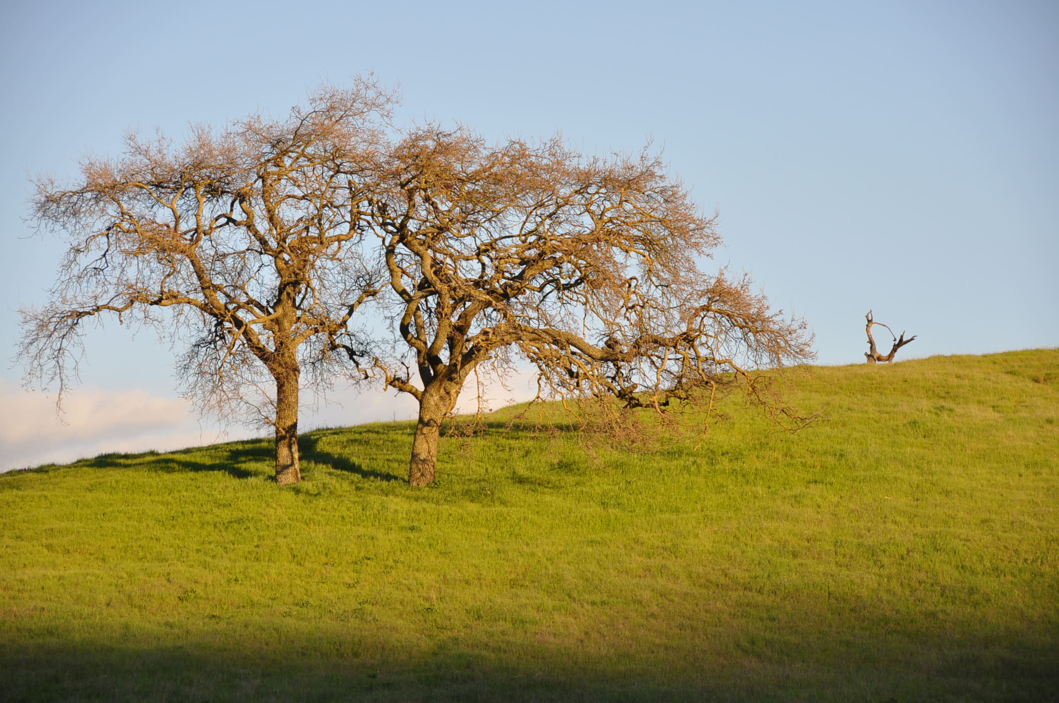
Two Trees
CayoteCreekReservoir #4 ~~

The green hills along 101
walking across an empty lake
breaking skies

HipstaRolled 41+ miles on my Cross bike Sunday. Ready for another ride this weekend! The Golden State is very green this time of year. 1:3 of #HipstaRoll_Week86 with #JohnS & #Dylan a la #Hipstamatic. The bright blue sky overpowered the strong JohnS lens
San Jose Sunset
Black and Tan
Topographic Map of Coyote, CA, USA
Find elevation by address:

Places in Coyote, CA, USA:
Places near Coyote, CA, USA:
Monterey Rd, Morgan Hill, CA, USA
1001 Monterey Hwy
Monterey Limousine Service
9530 Monterey Rd
10250 Monterey Rd
275 Live Oak Ave
9000 Monterey Rd
Oldcastle Infrastructure (formerly Oldcastle Precast)
270 Live Oak Ave
10806 Kirby Ave
Monterey Rd, Coyote, CA, USA
8125 Monterey Rd
300 Metcalf Rd
Metcalf Rd, San Jose, CA, USA
Coyote Creek Trail
Monterey Rd, Morgan Hill, CA, USA
Coyote Creek Lake Parking
7547 Manresa Ct
Target
112 Winsted Ct
Recent Searches:
- Elevation of Corso Fratelli Cairoli, 35, Macerata MC, Italy
- Elevation of Tallevast Rd, Sarasota, FL, USA
- Elevation of 4th St E, Sonoma, CA, USA
- Elevation of Black Hollow Rd, Pennsdale, PA, USA
- Elevation of Oakland Ave, Williamsport, PA, USA
- Elevation of Pedrógão Grande, Portugal
- Elevation of Klee Dr, Martinsburg, WV, USA
- Elevation of Via Roma, Pieranica CR, Italy
- Elevation of Tavkvetili Mountain, Georgia
- Elevation of Hartfords Bluff Cir, Mt Pleasant, SC, USA