Elevation of Monterey Rd, Morgan Hill, CA, USA
Location: United States > California > Santa Clara County > Morgan Hill >
Longitude: -121.72029
Latitude: 37.1990025
Elevation: 87m / 285feet
Barometric Pressure: 100KPa
Elevation Map:
Satellite Map:
Related Photos:

Super Highway

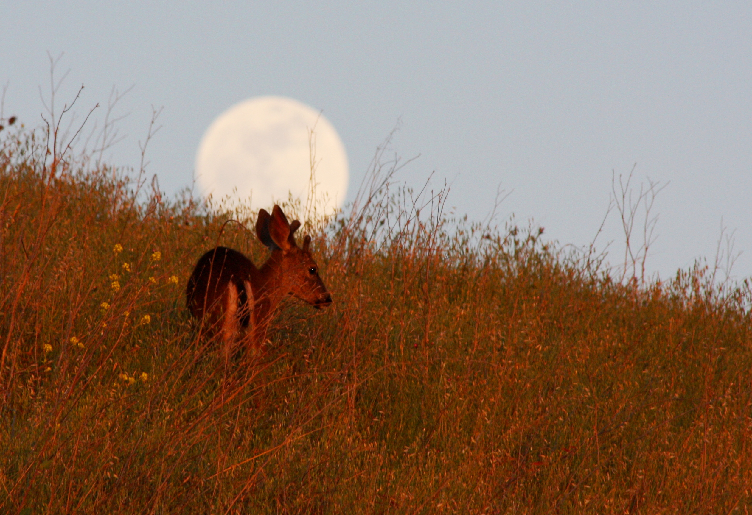
Afternoon Visitor

Horned Wonder
Uvas Canyon
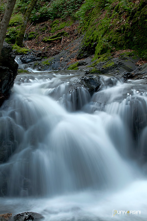
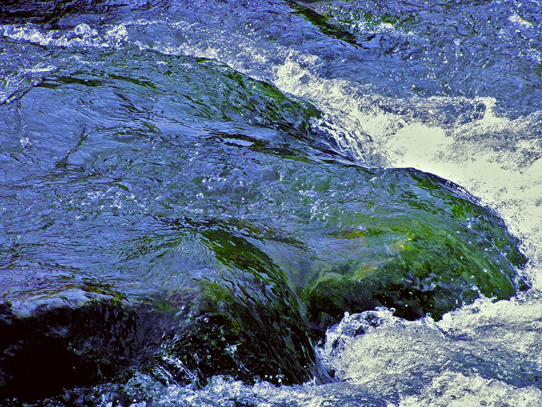
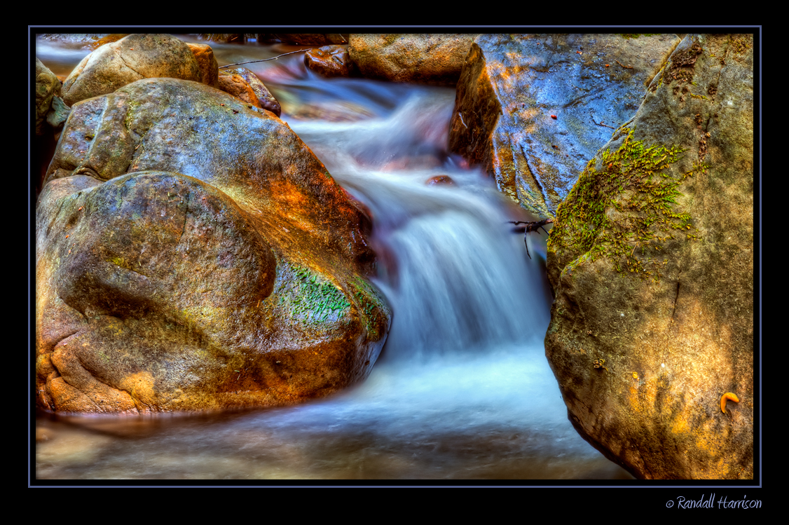
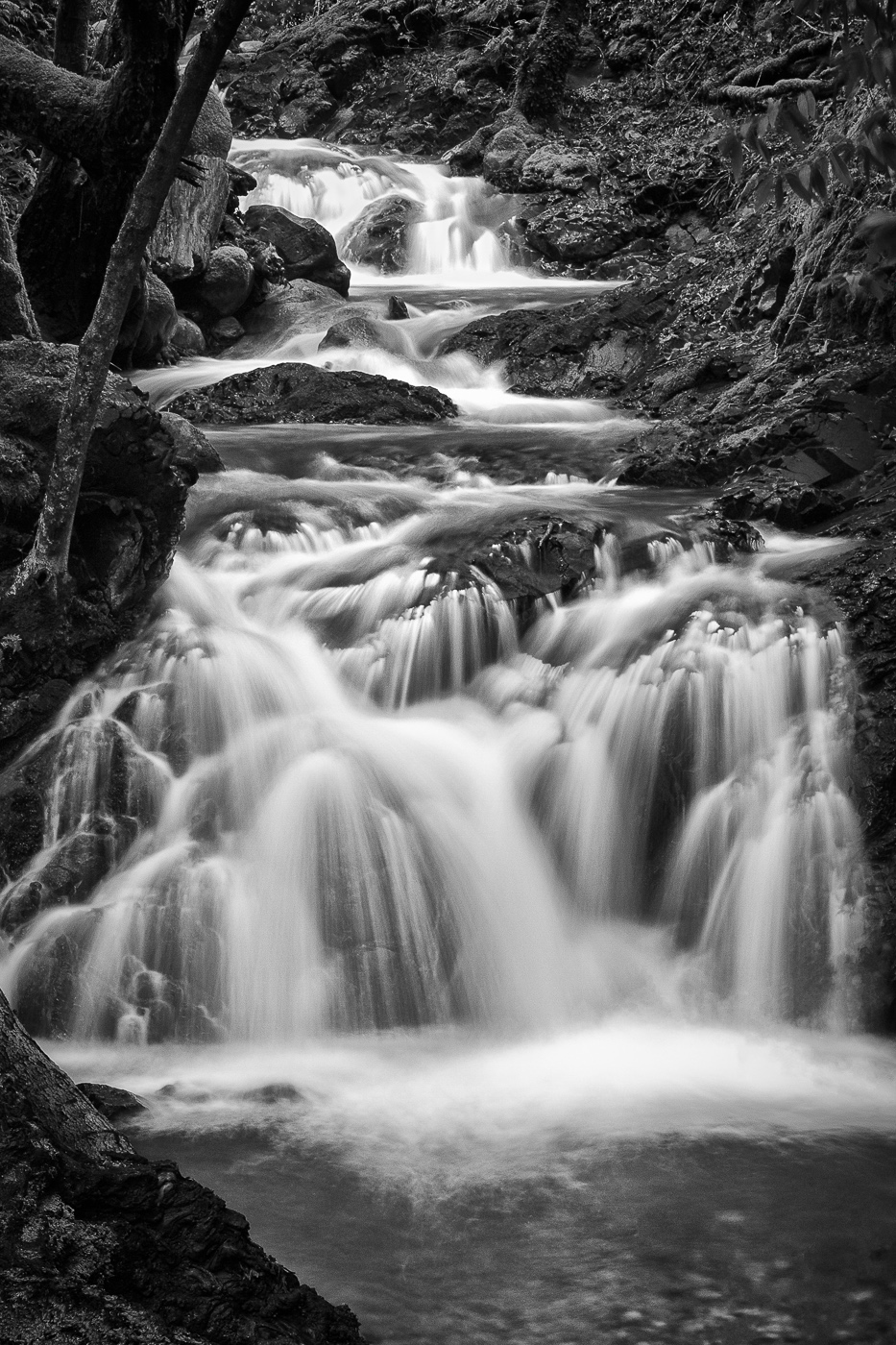
Uvas Canyon Waterfall

remnants of a deeper purity
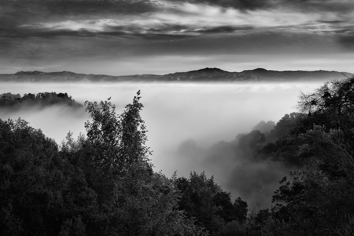
Fog over the Valley
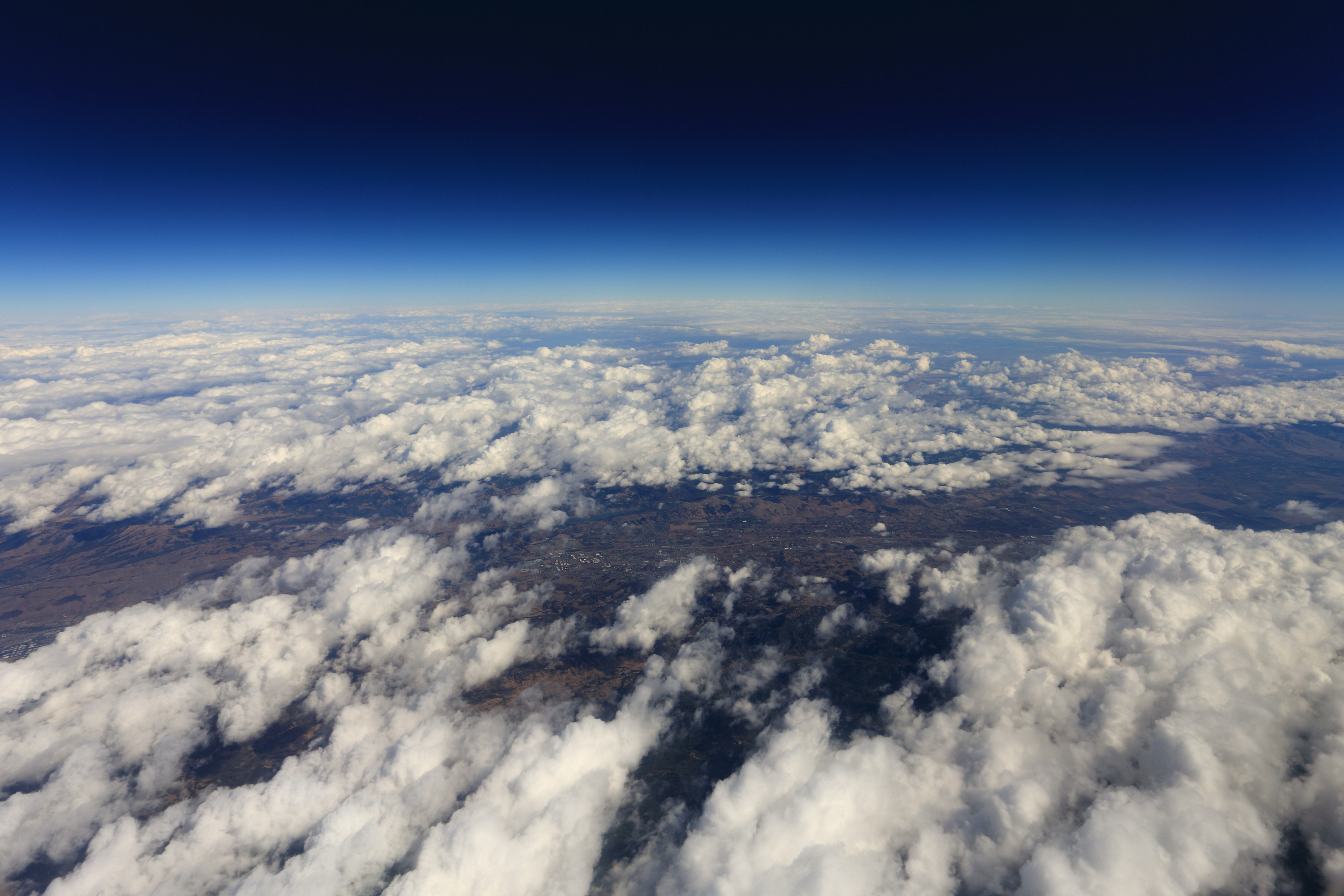
Air Travel - the Curvature of the Earth
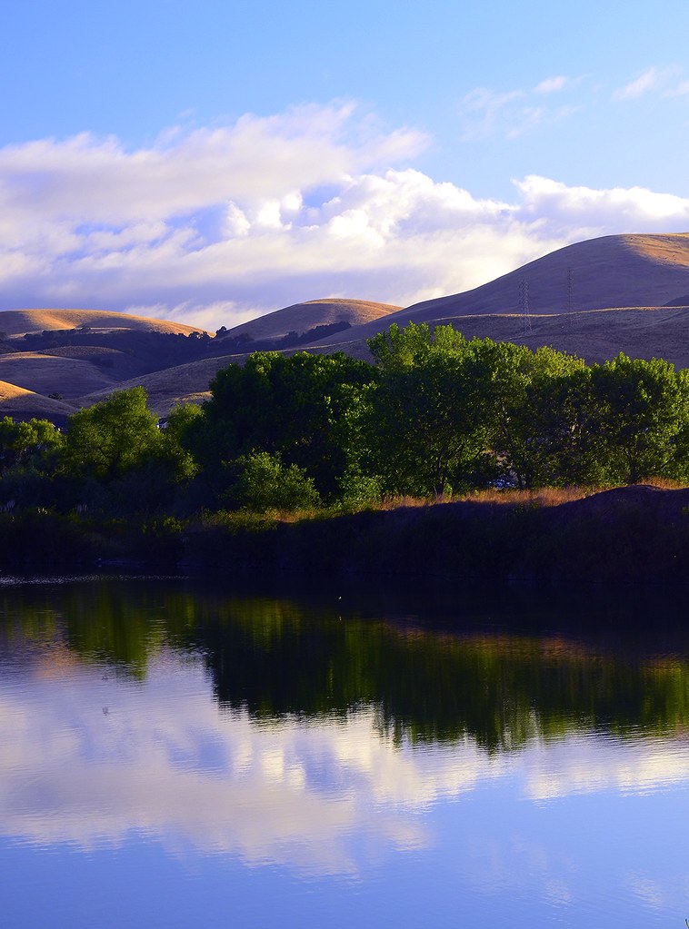
Tiny Lake
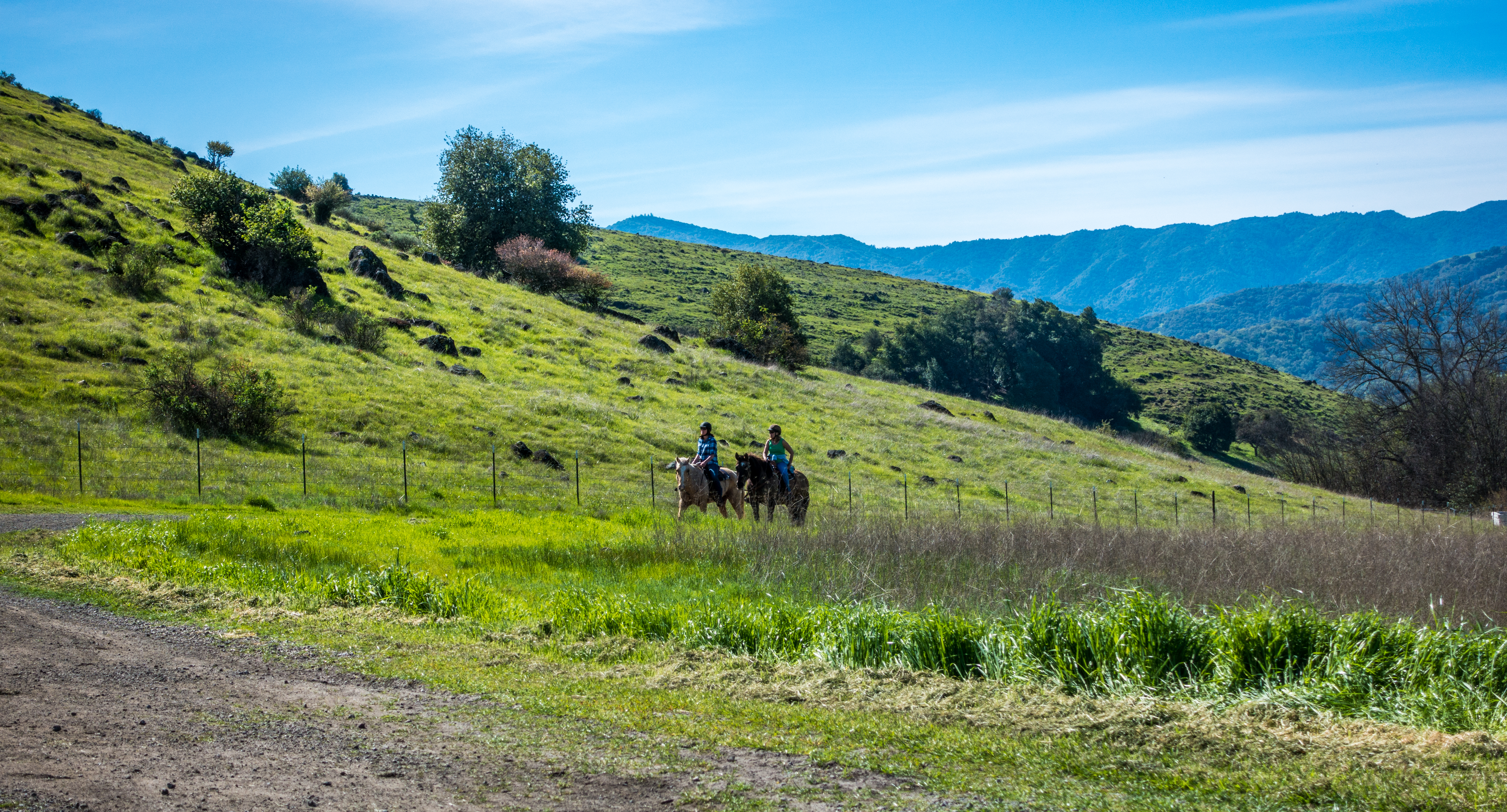
Horse riding at Santa Teresa County Park

Image 14351.

Night Beckons
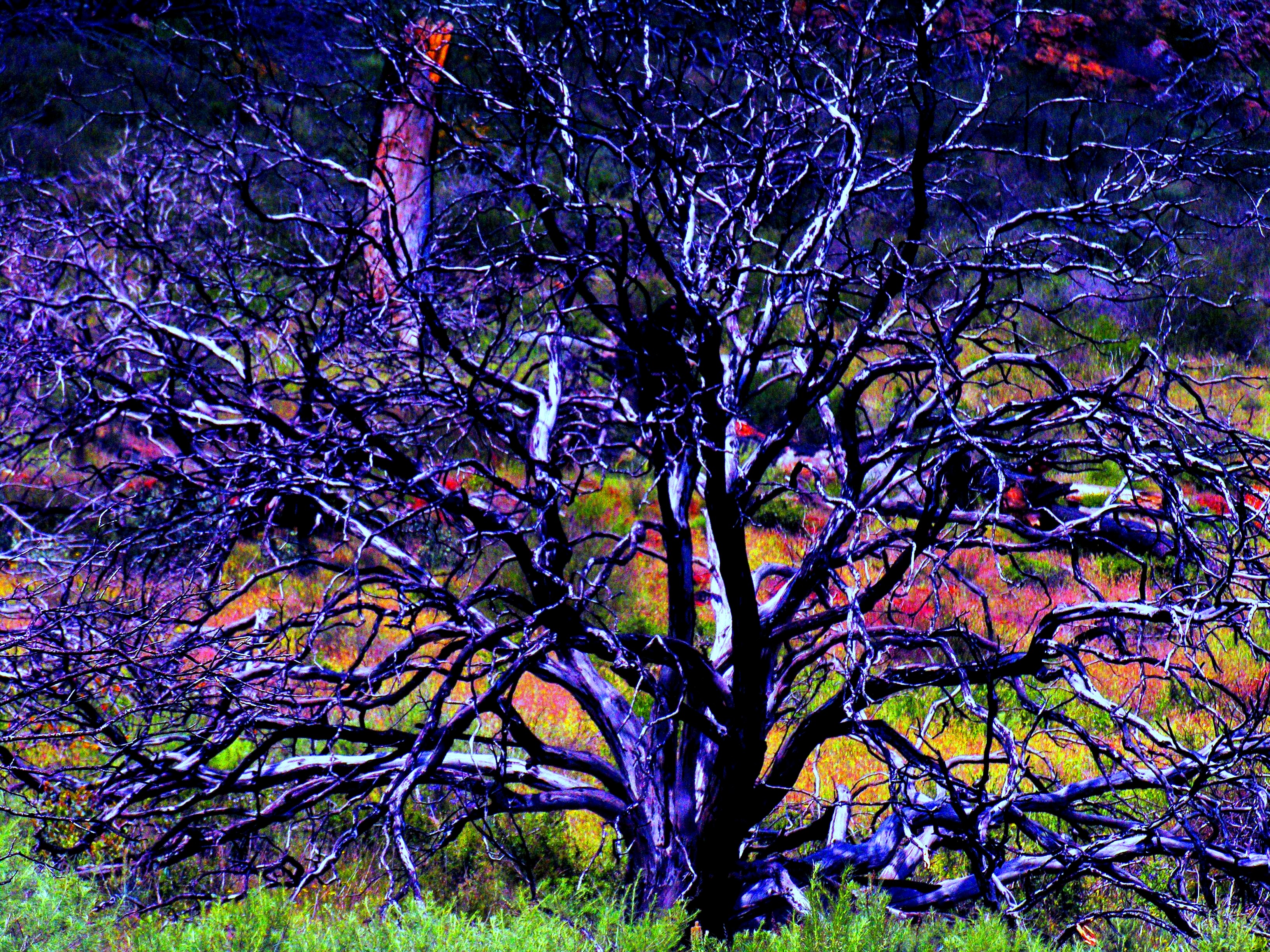
Burned Tree

Uvas-Canyon_02
Lucy In The Sky With Diamonds!
Ah....Spring
Awesome views, hard to keep it on two wheels! Thanks for the prep @garrahan129m
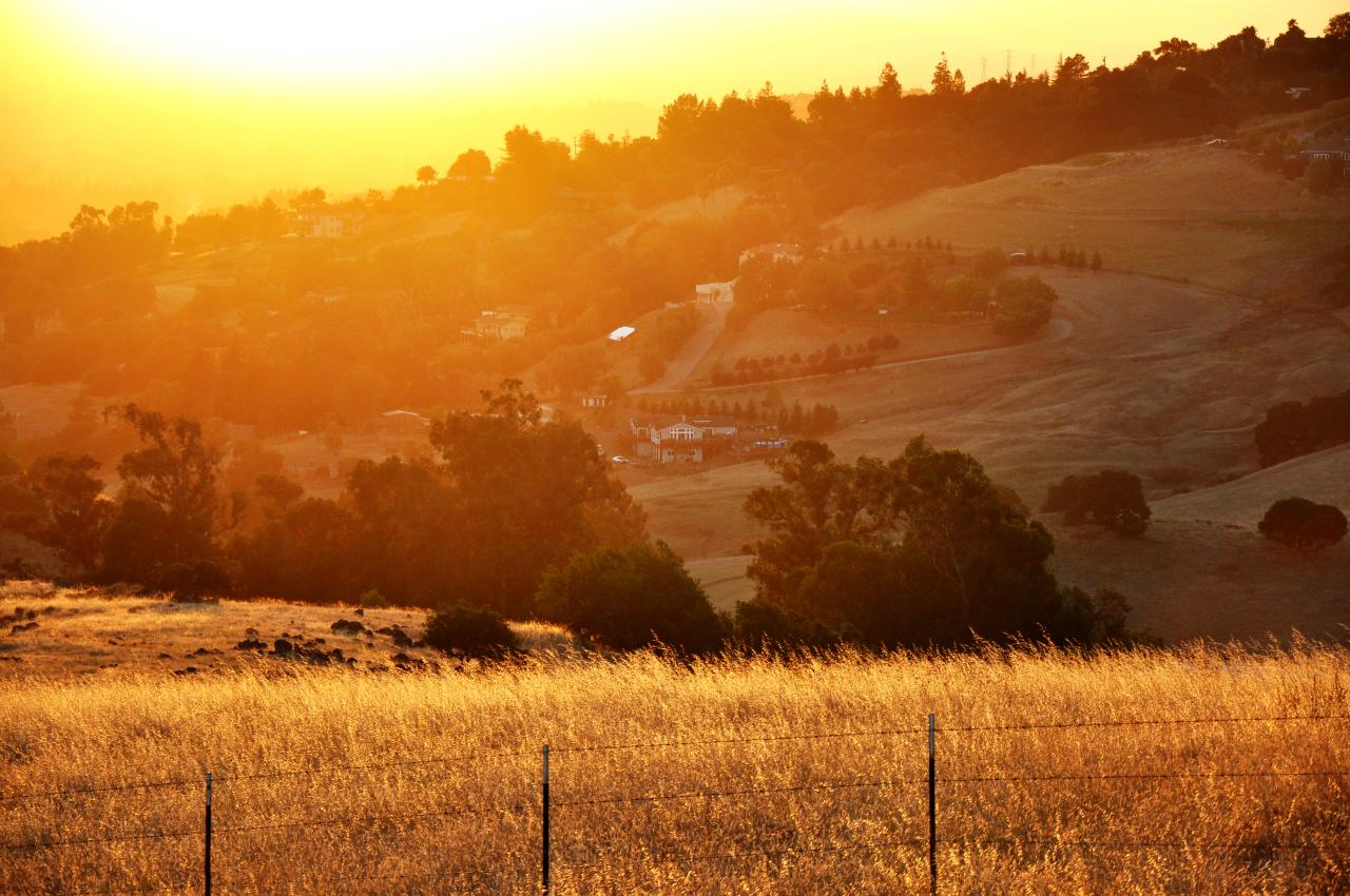
A Valley of Views

Pushed hard up the hill & flew back down. Stoked on that last mile, sub 7'00" miles are the best way to finish. Oh, and this view at the start? Not bad for an 'at pace' snap. #RunningWhileShooting #NikePlus #GetOnnit #RunLocal
almaden lake
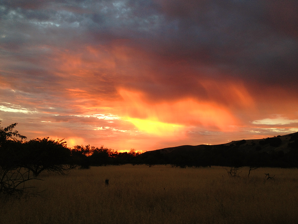
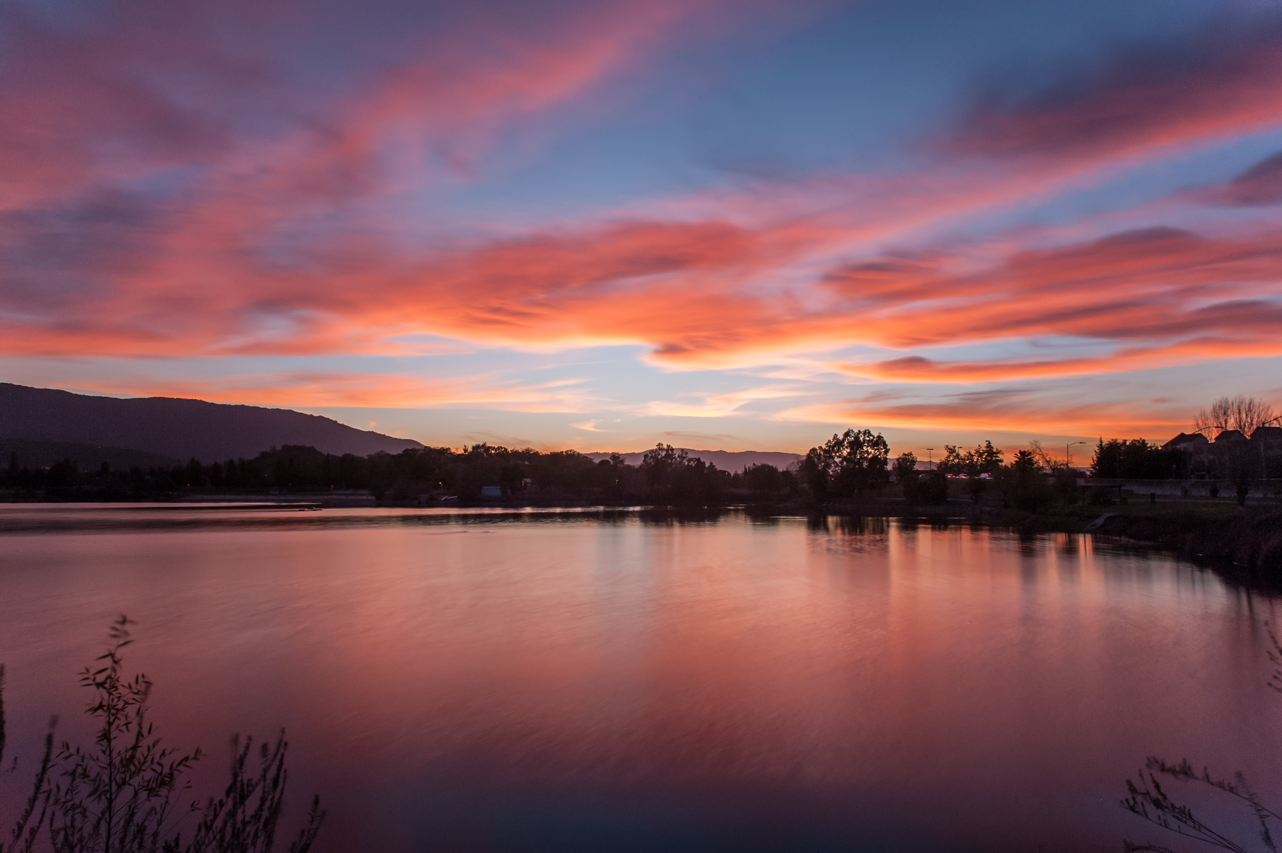
Sunset over the Valley
Searching Under Moon
Uvas-Water_02

Uvas-Canyon_01
I love spring...

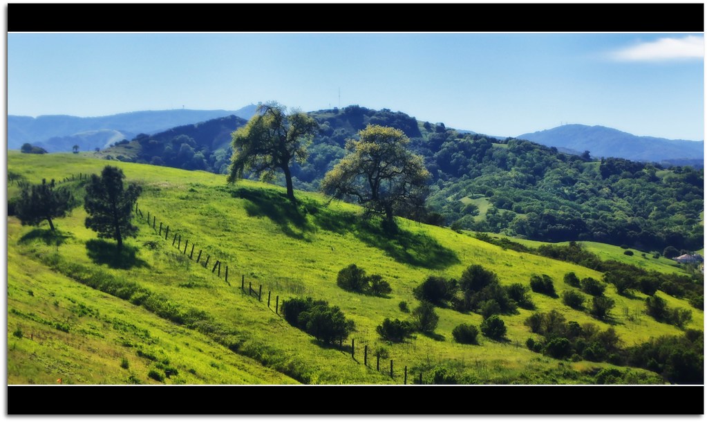
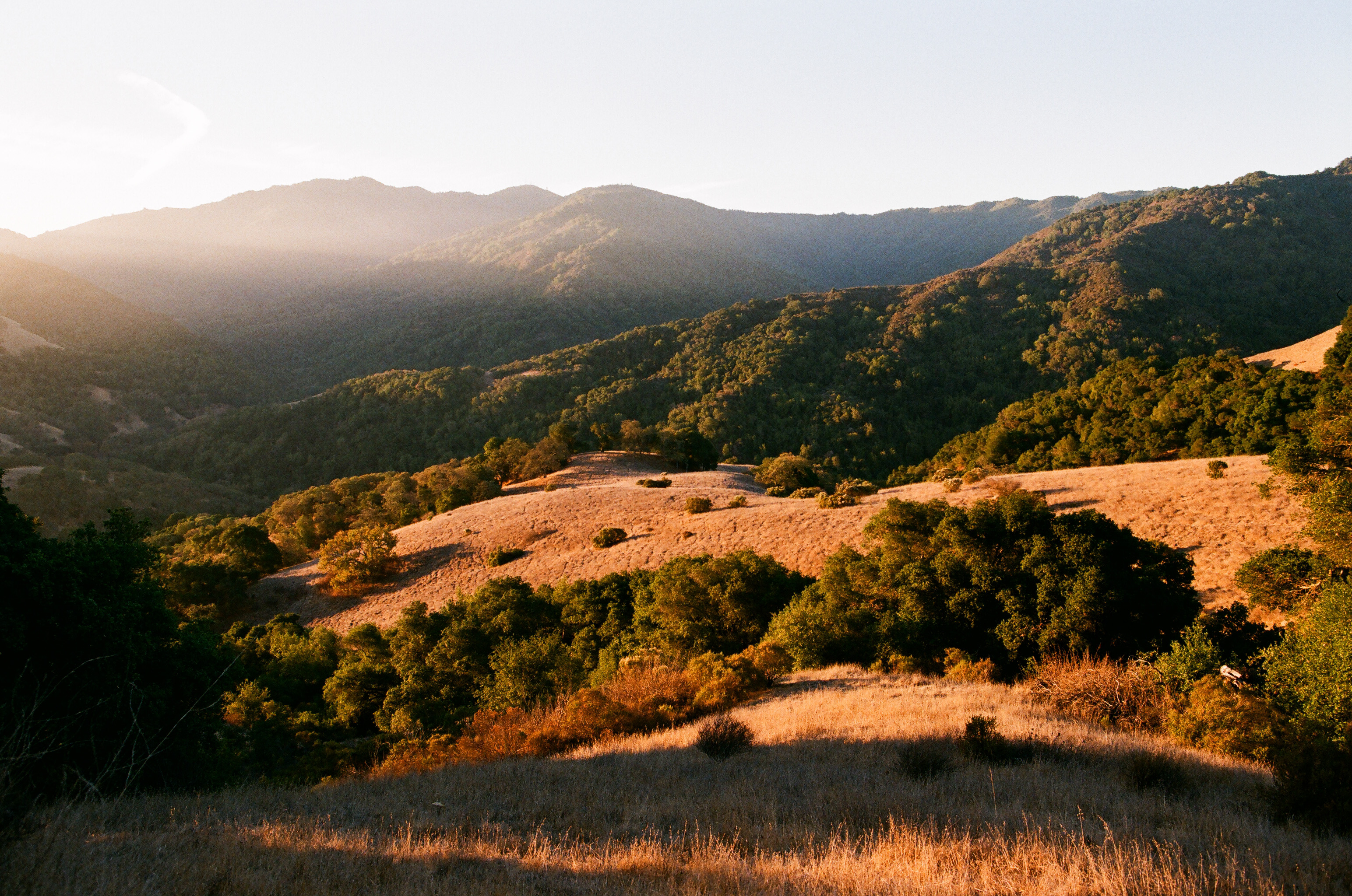
Hills and Oaks
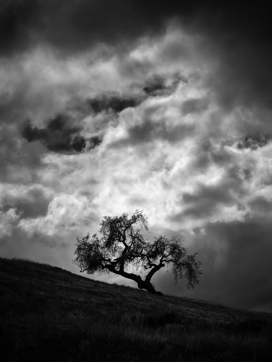
Tree Elder
Sierra Azul

Cloud Light
Sunset through the lens of Iphone 4S
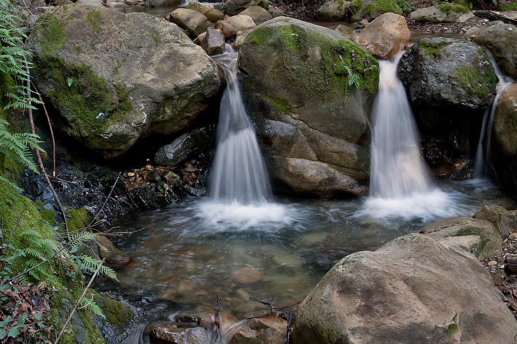
Granuja Falls
February Sunset at Alamaden Lake

lone tree hill
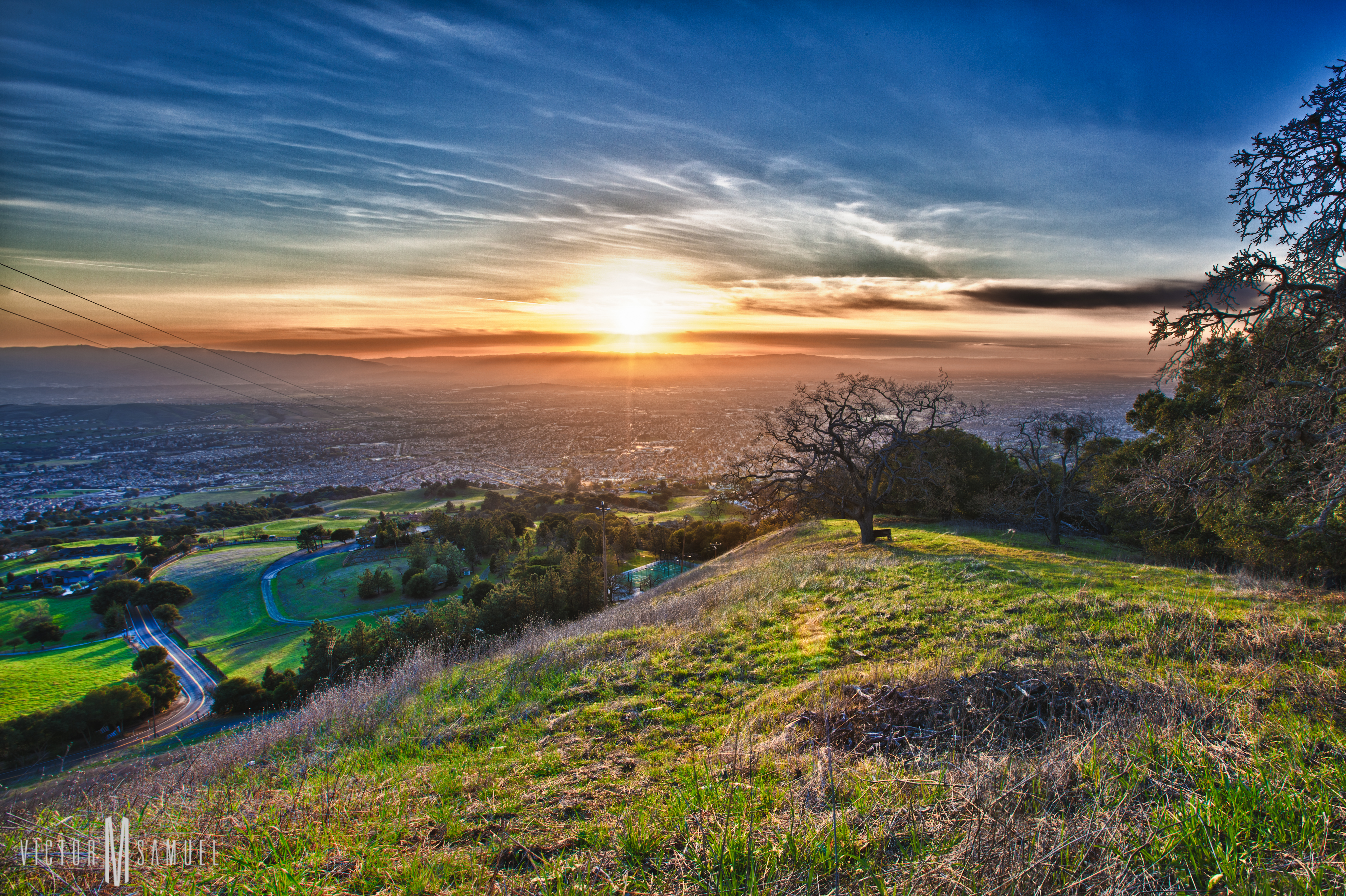
San Jose Sunset
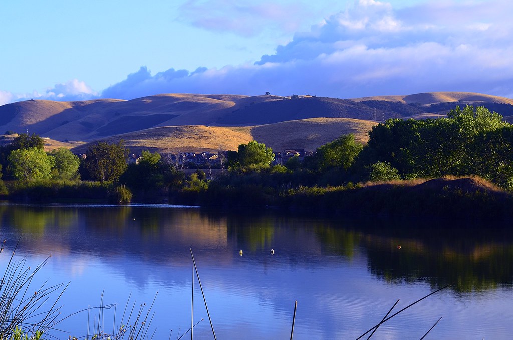
CayoteCreekReservoir #1 ~~
CayoteCreekReservoir #2 ~~

1st 5K this morning! 28 mins + this snap!
Made it to the top!
DSC_3678.JPG
CayoteCreekReservoir #3 ~~
Topographic Map of Monterey Rd, Morgan Hill, CA, USA
Find elevation by address:

Places near Monterey Rd, Morgan Hill, CA, USA:
Monterey Limousine Service
9530 Monterey Rd
Coyote
9000 Monterey Rd
Monterey Rd, Coyote, CA, USA
1001 Monterey Hwy
8125 Monterey Rd
10250 Monterey Rd
300 Metcalf Rd
275 Live Oak Ave
270 Live Oak Ave
Oldcastle Infrastructure (formerly Oldcastle Precast)
Coyote Creek Lake Parking
7547 Manresa Ct
112 Winsted Ct
Metcalf Rd, San Jose, CA, USA
10806 Kirby Ave
Sprucemont Place
Coyote Peak Trail
Coyote Peak
Recent Searches:
- Elevation of 62 Abbey St, Marshfield, MA, USA
- Elevation of Fernwood, Bradenton, FL, USA
- Elevation of Felindre, Swansea SA5 7LU, UK
- Elevation of Leyte Industrial Development Estate, Isabel, Leyte, Philippines
- Elevation of W Granada St, Tampa, FL, USA
- Elevation of Pykes Down, Ivybridge PL21 0BY, UK
- Elevation of Jalan Senandin, Lutong, Miri, Sarawak, Malaysia
- Elevation of Bilohirs'k
- Elevation of 30 Oak Lawn Dr, Barkhamsted, CT, USA
- Elevation of Luther Road, Luther Rd, Auburn, CA, USA