Elevation of Anderson Dam Trail, Morgan Hill, CA, USA
Location: United States > California > Santa Clara County > Coyote >
Longitude: -121.63209
Latitude: 37.1664153
Elevation: 158m / 518feet
Barometric Pressure: 99KPa
Elevation Map:
Satellite Map:
Related Photos:

Time will tell...
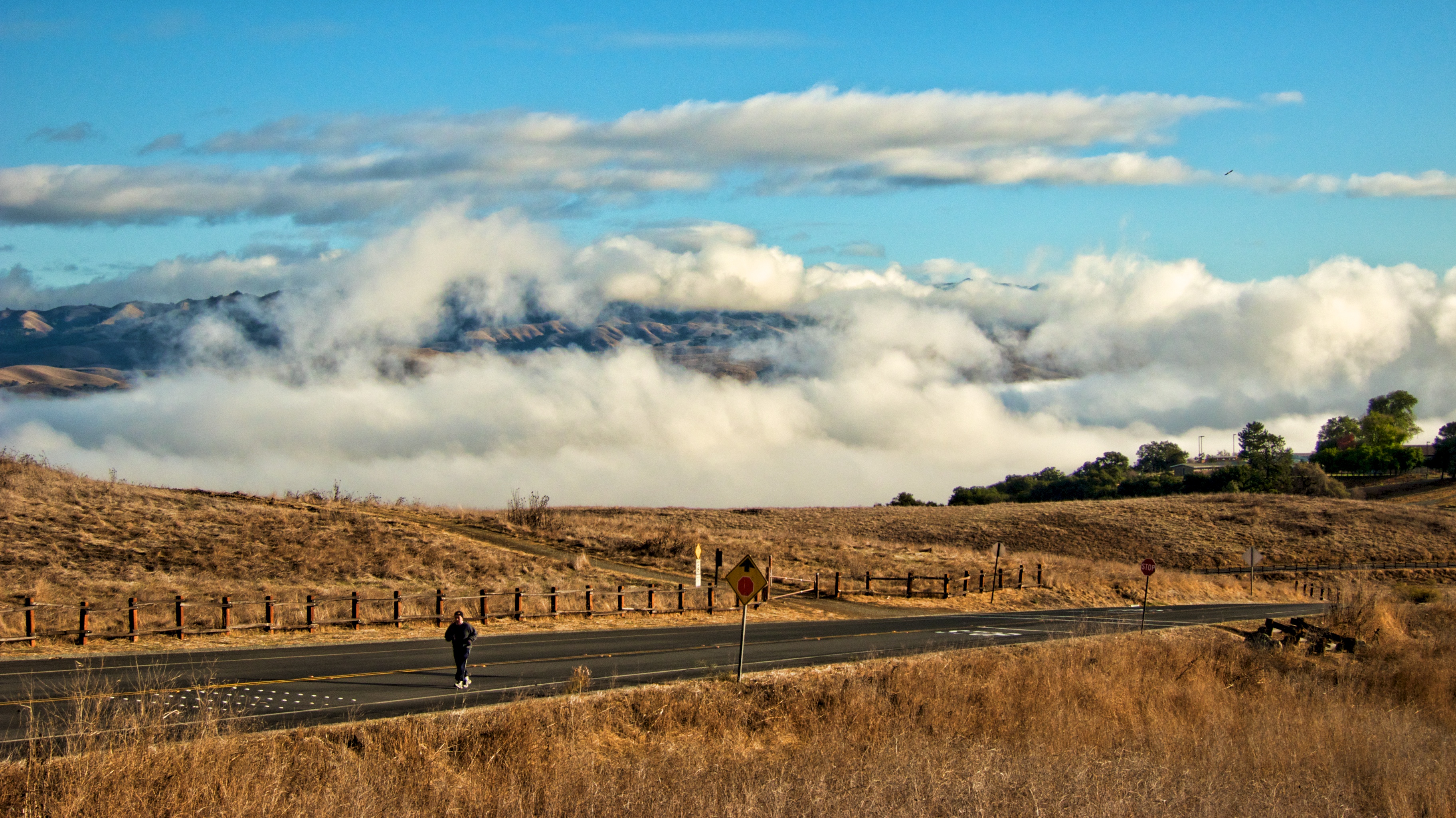
From the Willow Springs Trail we overlooked much of our 8-mile loop

South Santa Clara County Fire Dist Engine 2- Gilroy,CA
Clouds over Mt Hamilton
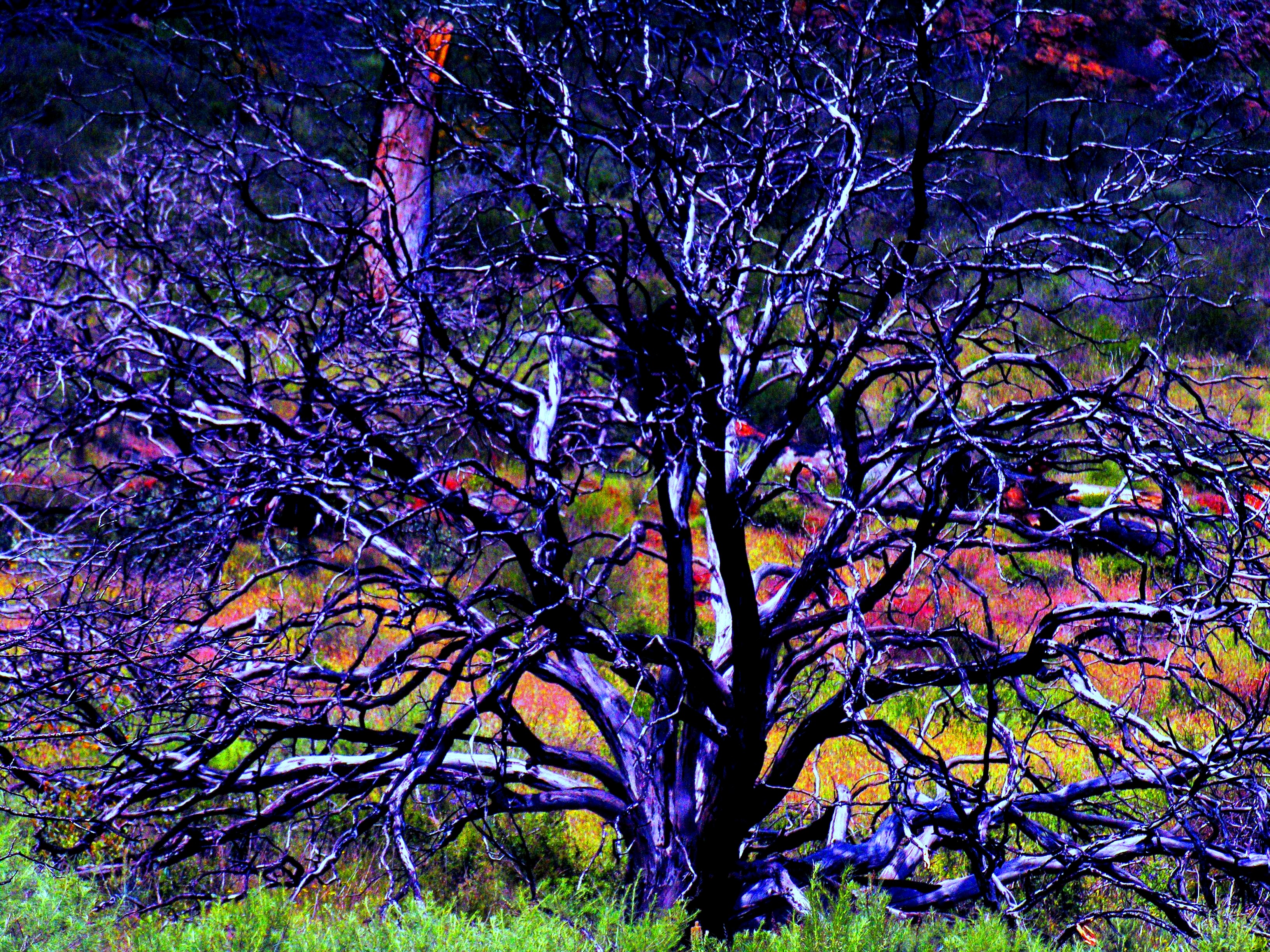
Burned Tree
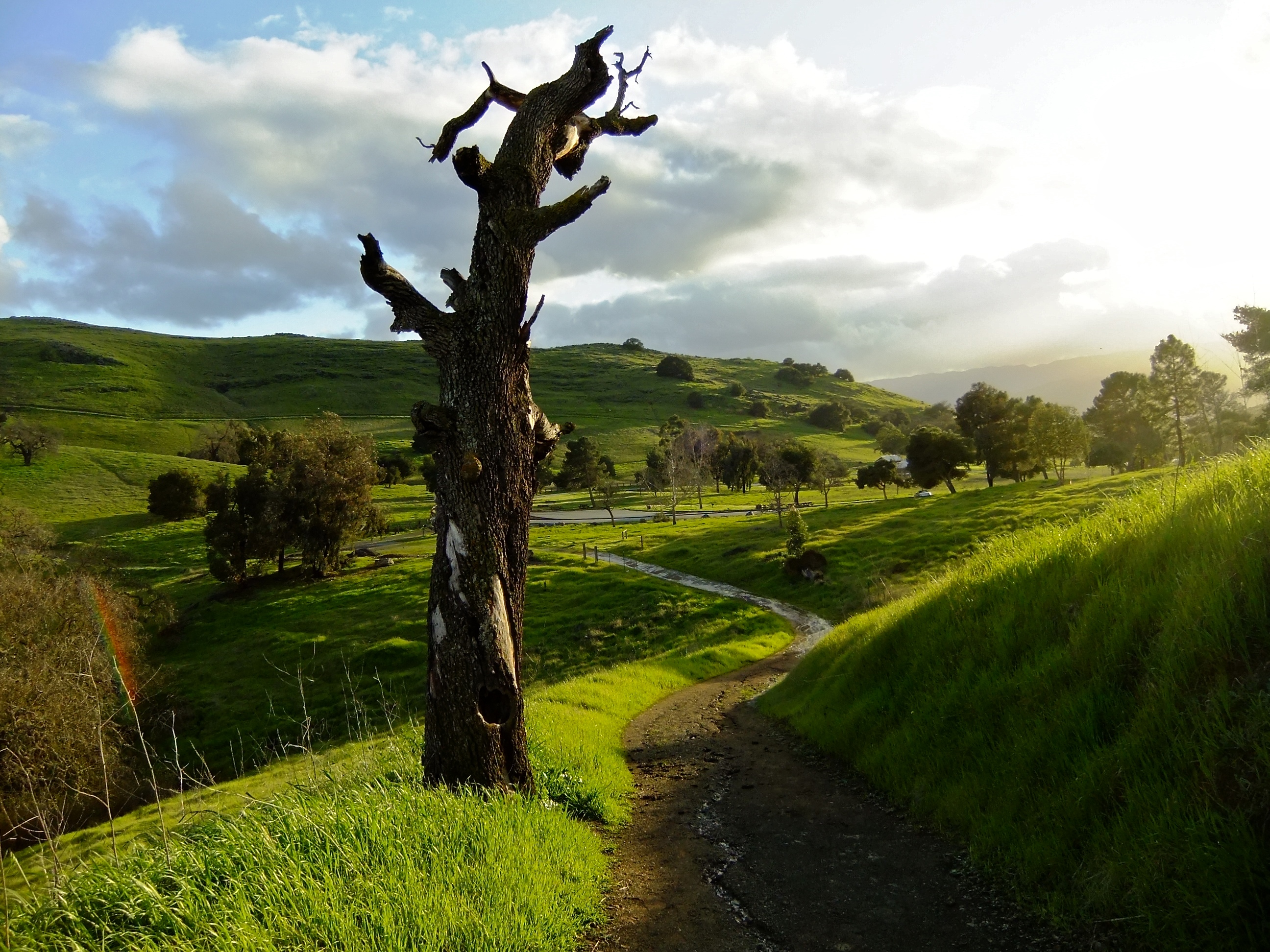
Ah....Spring
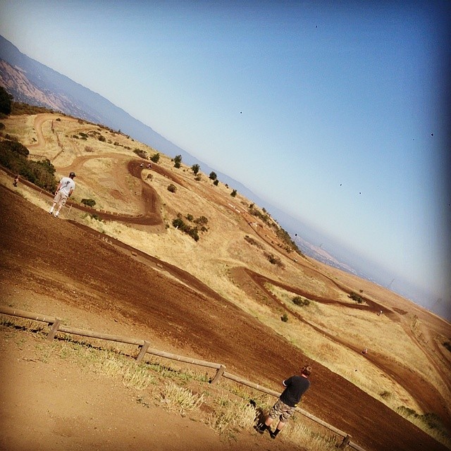
Awesome views, hard to keep it on two wheels! Thanks for the prep @garrahan129m
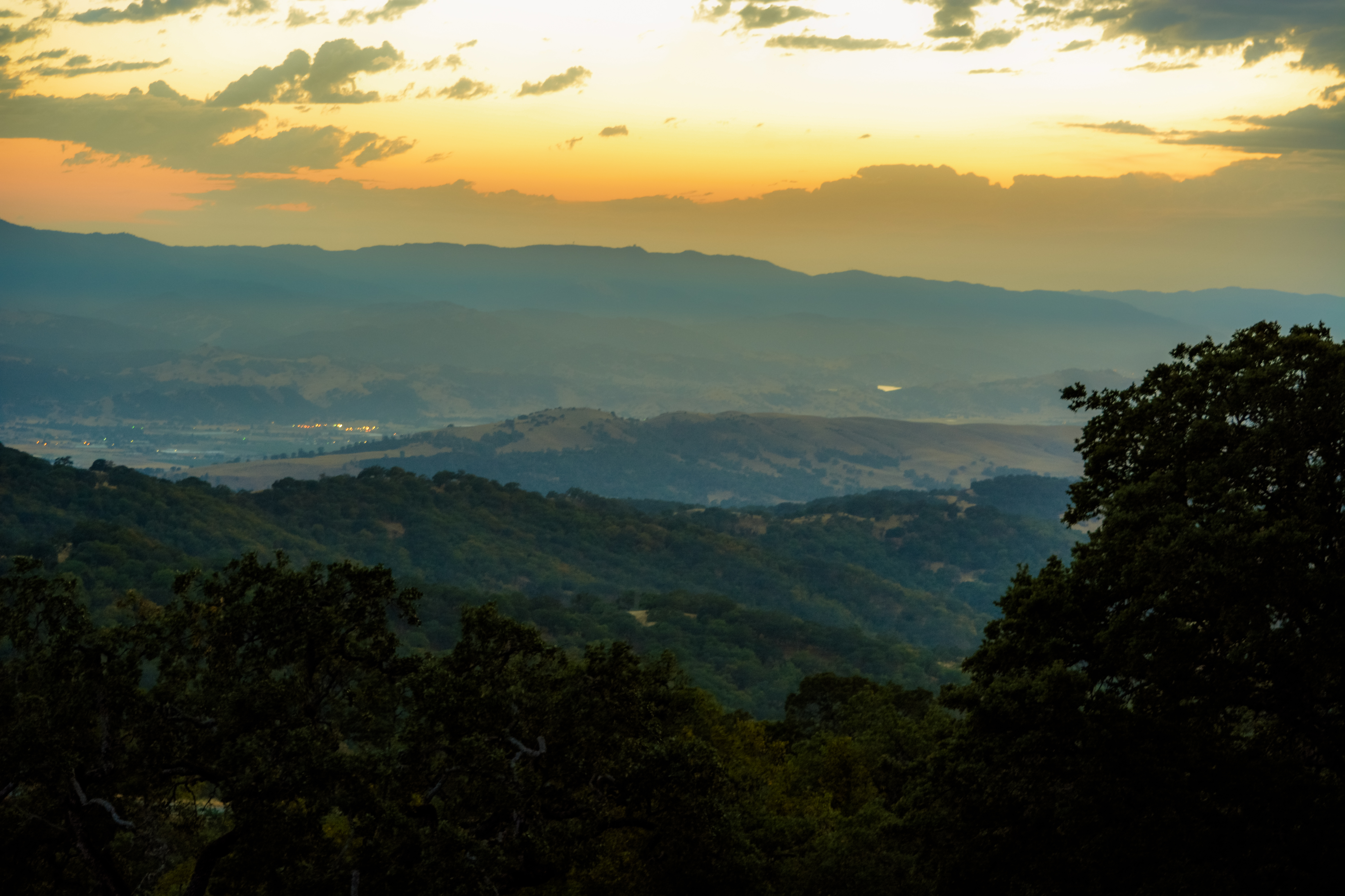
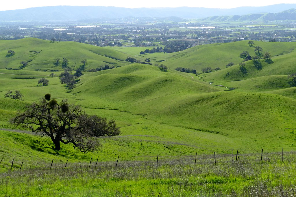
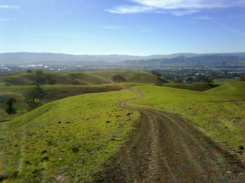
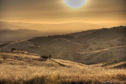
A Valley of Views

Super Highway

Afternoon Visitor
View from the Hidden Springs Trail

Canyon Wren (Catherpes mexicanus)

Project 366-1 069 of 365

Canyon Wren (Catherpes mexicanus)

Canyon Wren (Catherpes mexicanus)
Incredible Views

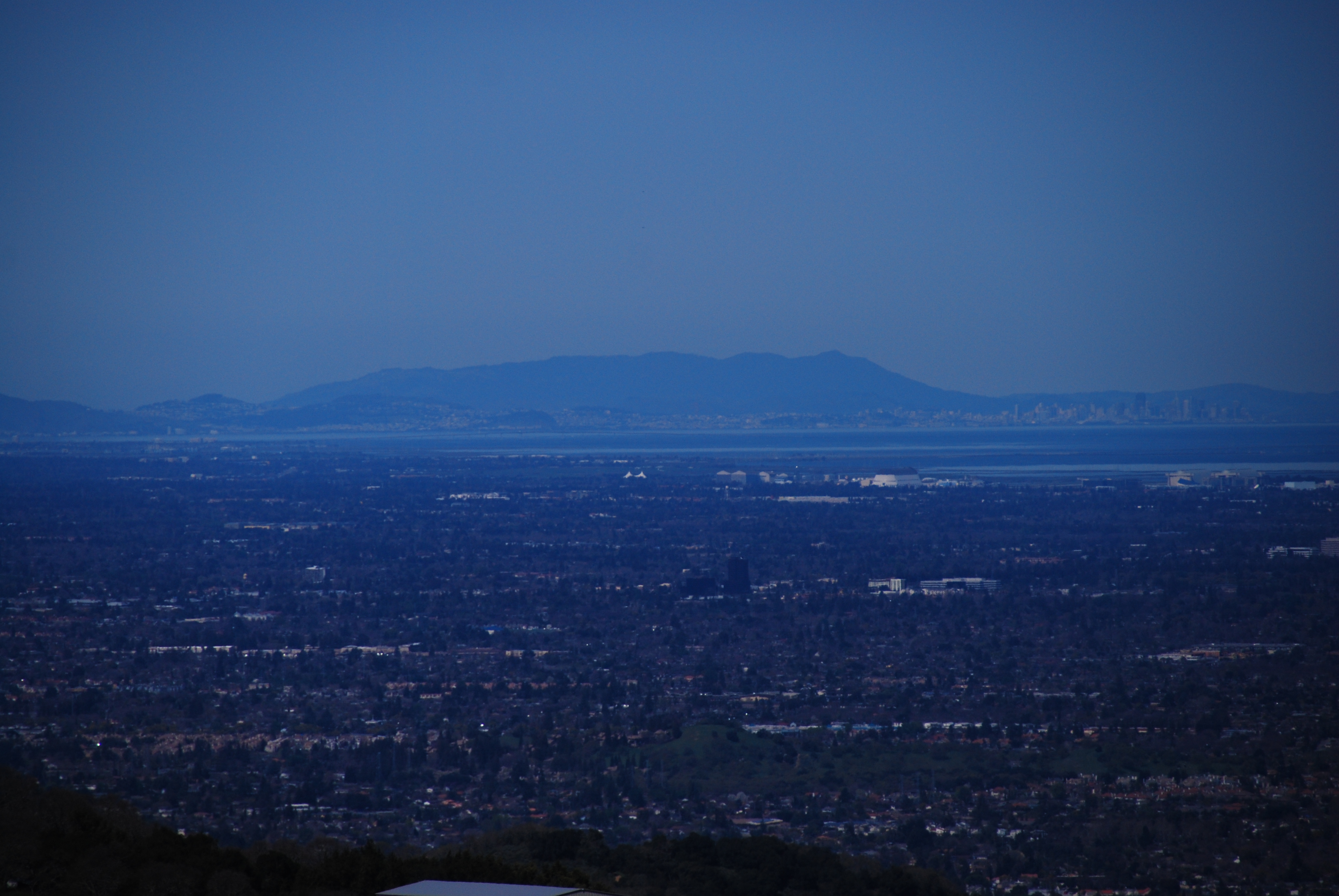
Air Travel - the Curvature of the Earth
Henry Coe State Park (Explored)
Santa Teresa County Park Panorama
Shakuhachi utaguchi

Rufous-crowned Sparrow (Aimophila ruficeps)

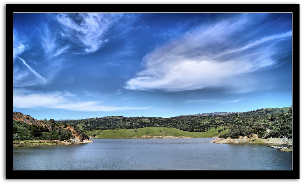
CayoteCreekReservoir #1 ~~
CayoteCreekReservoir #2 ~~
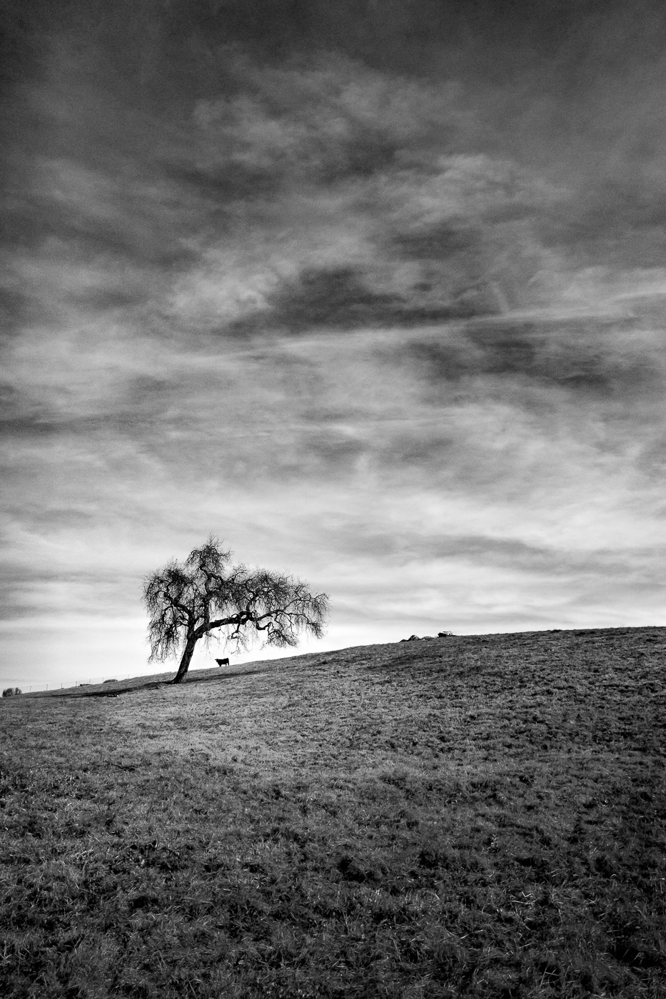
A Tree and a Bull

Hiker on the trail - Happy Fence Friday

Santa Teresa County Park HDR

Lovely Easter Sunday at the park

A Tree in January
Mountains in the morning light - Happy Fence Friday

Tree Quintette in January

Early light in the park - Happy Sliders Sunday

CayoteCreekReservoir #3 ~~

San Jose Star Trails

Tree Elder

Hills and Oaks
Back to Work

Near Uvas Canyon, Overcast
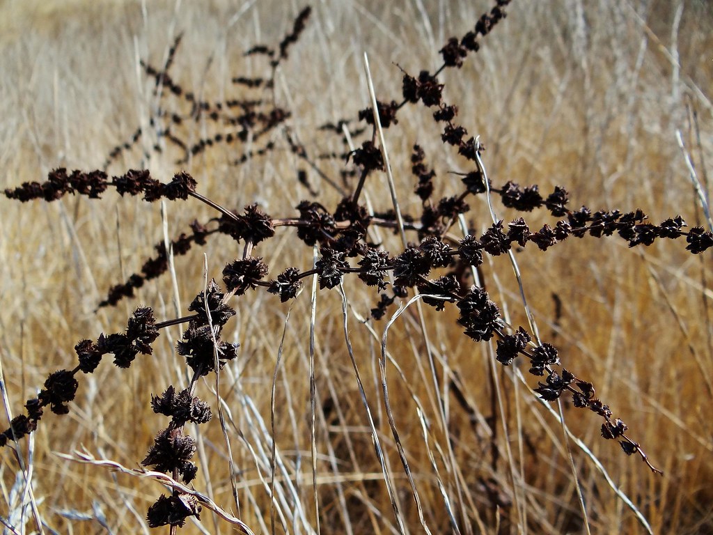
Black Thistle - 2012
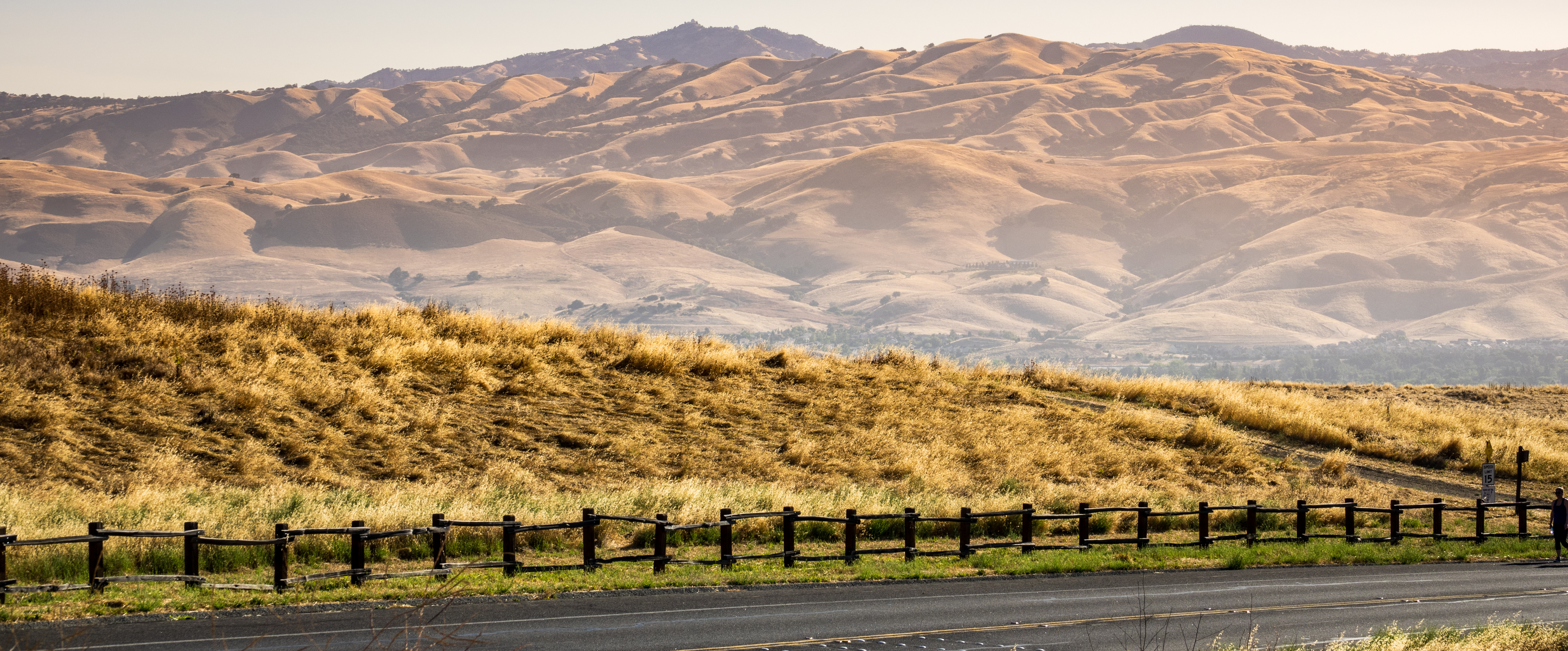
California Hills
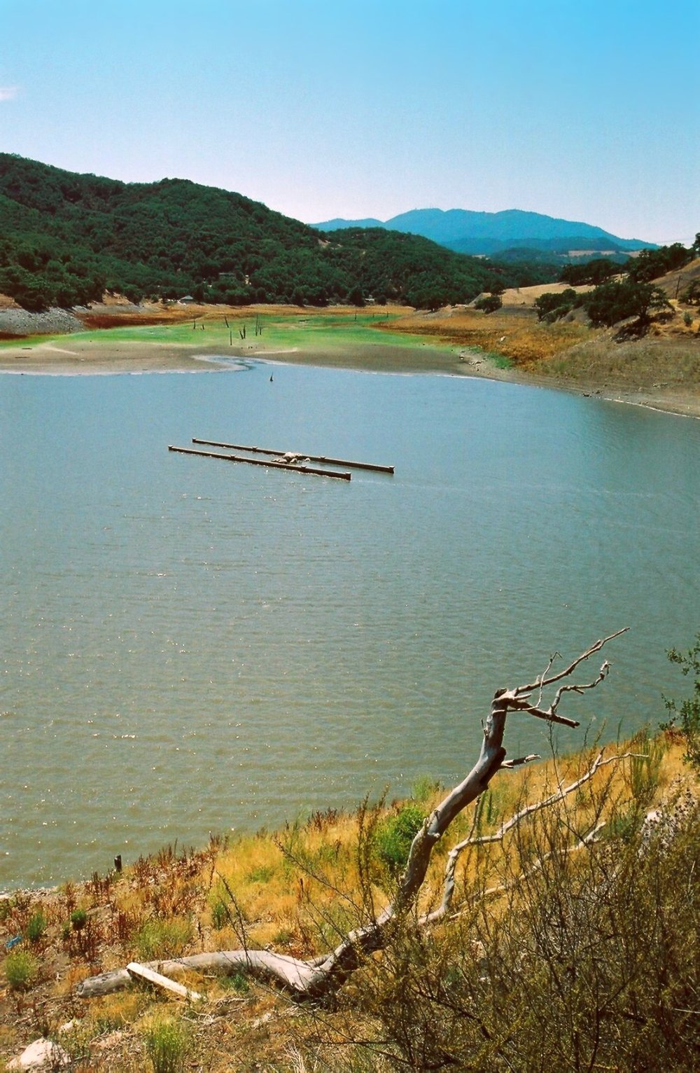
low water level reveals old bridge in Chesbro Reservoir, near Morgan Hill, July 7, 2007
Topographic Map of Anderson Dam Trail, Morgan Hill, CA, USA
Find elevation by address:

Places near Anderson Dam Trail, Morgan Hill, CA, USA:
Eagle View Drive
18791 Rising Sun Drive
18791 Rising Sun Drive
18791 Rising Sun Drive
18721 Rising Sun Drive
Target
17680 Manzanita Dr
Coyote Creek Trail
17400 Walnut Grove Dr
E Dunne Ave, Morgan Hill, CA, USA
615 Calle Viento
2095 Cimarron Dr
17295 Markross Ct
301 Diana Ave
Monterey Rd, Morgan Hill, CA, USA
Morgan Hill
Main & Monterey
80 W Central Ave
10806 Kirby Ave
3735 Ridgeview Ct
Recent Searches:
- Elevation of Elwyn Dr, Roanoke Rapids, NC, USA
- Elevation of Congressional Dr, Stevensville, MD, USA
- Elevation of Bellview Rd, McLean, VA, USA
- Elevation of Stage Island Rd, Chatham, MA, USA
- Elevation of Shibuya Scramble Crossing, 21 Udagawacho, Shibuya City, Tokyo -, Japan
- Elevation of Jadagoniai, Kaunas District Municipality, Lithuania
- Elevation of Pagonija rock, Kranto 7-oji g. 8"N, Kaunas, Lithuania
- Elevation of Co Rd 87, Jamestown, CO, USA
- Elevation of Tenjo, Cundinamarca, Colombia
- Elevation of Côte-des-Neiges, Montreal, QC H4A 3J6, Canada