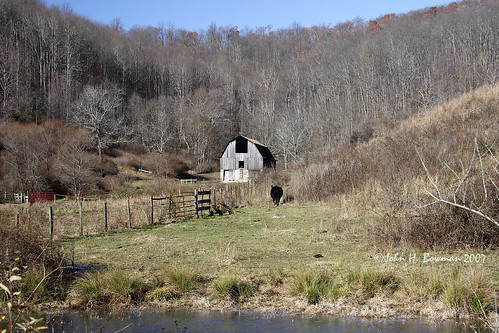
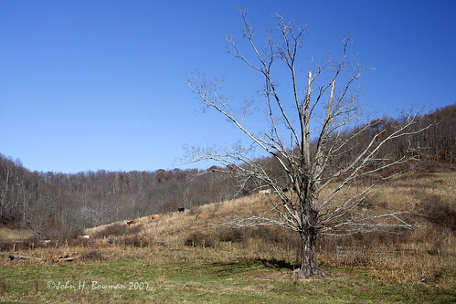
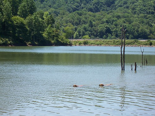
Elevation of County Road 11, Co Rd 11, Freemans Creek, WV, USA
Location: United States > West Virginia > Lewis County > Freemans Creek > Alum Bridge >
Longitude: -80.697360
Latitude: 39.0623085
Elevation: 244m / 801feet
Barometric Pressure: 98KPa
Related Photos:
Topographic Map of County Road 11, Co Rd 11, Freemans Creek, WV, USA
Find elevation by address:

Places near County Road 11, Co Rd 11, Freemans Creek, WV, USA:
5814 Co Rd 6
Walnut Fork Road
Alum Bridge
US-33, Alum Bridge, WV, USA
US-33, Linn, WV, USA
Freemans Creek
Oak
Co Rte 58, Jane Lew, WV, USA
Bealls Mill Rd, Weston, WV, USA
Loveberry Run Road
Glenville
Indian Fork Road
Indian Fork Road
Indian Fork Road
Collins Run
Lewis County
Aspinall
New Milton
Co Rd 10/8, Weston, WV, USA
Doddridge County
Recent Searches:
- Elevation of Congressional Dr, Stevensville, MD, USA
- Elevation of Bellview Rd, McLean, VA, USA
- Elevation of Stage Island Rd, Chatham, MA, USA
- Elevation of Shibuya Scramble Crossing, 21 Udagawacho, Shibuya City, Tokyo -, Japan
- Elevation of Jadagoniai, Kaunas District Municipality, Lithuania
- Elevation of Pagonija rock, Kranto 7-oji g. 8"N, Kaunas, Lithuania
- Elevation of Co Rd 87, Jamestown, CO, USA
- Elevation of Tenjo, Cundinamarca, Colombia
- Elevation of Côte-des-Neiges, Montreal, QC H4A 3J6, Canada
- Elevation of Bobcat Dr, Helena, MT, USA


