Elevation of Collins Run, Glenville, WV, USA
Location: United States > West Virginia > Gilmer County > City > Glenville >
Longitude: -80.703987
Latitude: 38.9192601
Elevation: 246m / 807feet
Barometric Pressure: 98KPa
Elevation Map:
Satellite Map:
Related Photos:

What's in my bag?

{10/365}

{11/365}

The Laugher - Charadra deridens
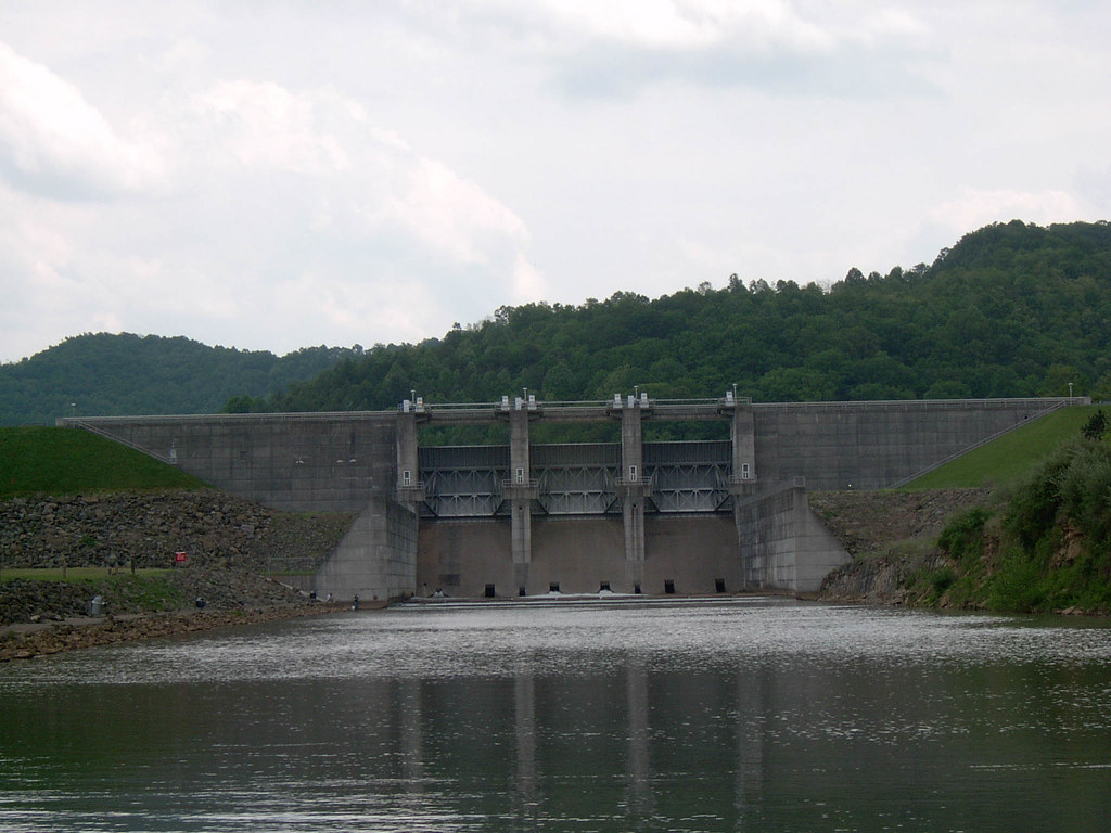
Burnsville Dam Downstream View Image 3 5-15-2004 Photo

Burnsville Dam Downstream View Image 1 5-15-2004 Photo

{12/365}

Myrtle Beach 2010 008

West Virginia

Little Kanawha River 11-21-2003 Photo

Burnsville Lake

Duck Run Cable Suspension Bridge

Riffle Run 5-15-2004 Photo

Burnsville Lake Image 2 2-9-2008 Photo

Burnsville Lake

Burnsville Dam Picnic Area 5-15-2004 Photo

Burnsville Lake Image 3 5-15-2004 Photo

Little Kanawha River Image 1 2-9-2008 Photo

Cedar Creek State Park

Cedar Creek State Park

A Sunny Snowy Day on The Mountain

Cedar Creek State Park

Cedar Creek State Park

Marina Image 4 2-9-2008 Photo

Little Kanawha River Cut 5-15-2004 Photo
Topographic Map of Collins Run, Glenville, WV, USA
Find elevation by address:

Places near Collins Run, Glenville, WV, USA:
Glenville
Gilmer
Indian Fork Road
Indian Fork Road
Indian Fork Road
City
Burnsville
US-33, Linn, WV, USA
Aspinall
Bealls Mill Rd, Weston, WV, USA
496 Happy Hollow
Orlando
Glenville State College
Glenville
Loveberry Run Road
Gilmer County
Clover Fork Rd, Orlando, WV, USA
Courthouse-collins Settlement
Lewis County
Recent Searches:
- Elevation of Elwyn Dr, Roanoke Rapids, NC, USA
- Elevation of Congressional Dr, Stevensville, MD, USA
- Elevation of Bellview Rd, McLean, VA, USA
- Elevation of Stage Island Rd, Chatham, MA, USA
- Elevation of Shibuya Scramble Crossing, 21 Udagawacho, Shibuya City, Tokyo -, Japan
- Elevation of Jadagoniai, Kaunas District Municipality, Lithuania
- Elevation of Pagonija rock, Kranto 7-oji g. 8"N, Kaunas, Lithuania
- Elevation of Co Rd 87, Jamestown, CO, USA
- Elevation of Tenjo, Cundinamarca, Colombia
- Elevation of Côte-des-Neiges, Montreal, QC H4A 3J6, Canada