Elevation of Co Rte 58, Jane Lew, WV, USA
Location: United States > West Virginia > Doddridge County > Oak >
Longitude: -80.637477
Latitude: 39.1735811
Elevation: 275m / 902feet
Barometric Pressure: 98KPa
Elevation Map:
Satellite Map:
Related Photos:

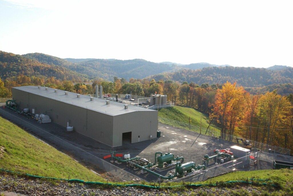
WV Country Road
WV MorganStation

Stutlers Fork

Bridge 871-20

Cemetery Road

Stutlers Fork

Bridge 869-06
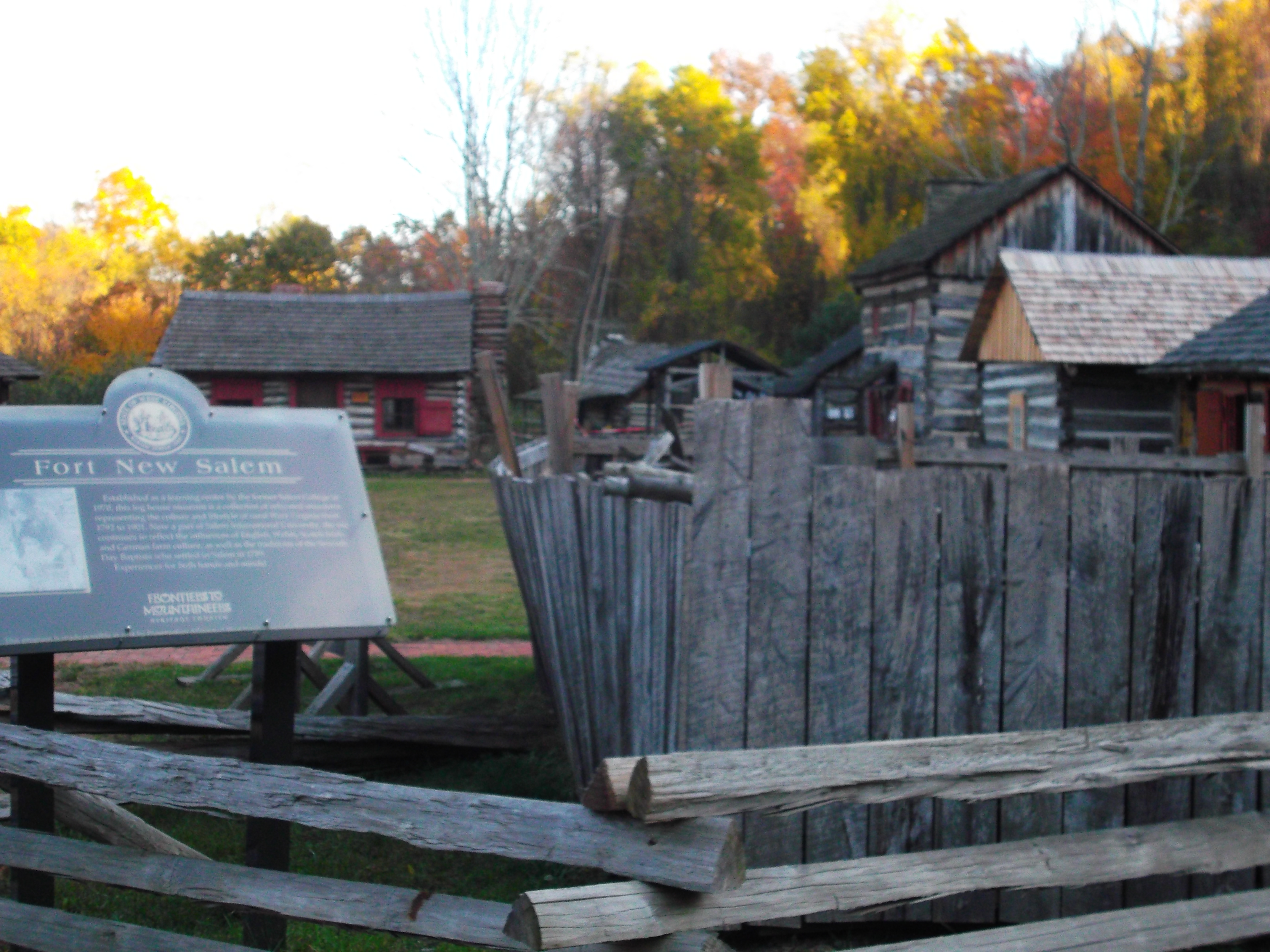
Fort New Salem
Morgan 9-4-13 060
WV PerkinsStation
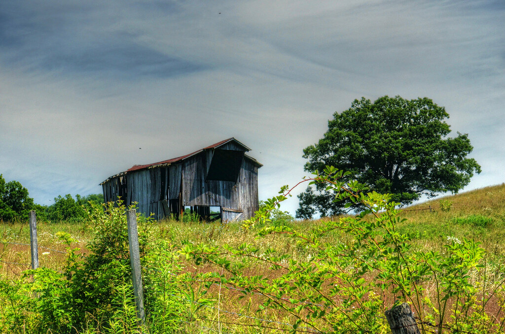
Barn under Hazy Sky

Walk Bridge

West Virginia Crossroads

Tasting November

Country Morning (Explored)

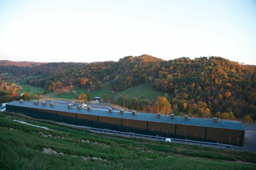
Perkins Station
Perkins Station 1

Salem Auxiliary Lake

IGA, Salem - Healthy Checkout Partner

Kincheloe Post Office

Two Lick Run Barn in B&W

Old Barn in B&W
Topographic Map of Co Rte 58, Jane Lew, WV, USA
Find elevation by address:

Places near Co Rte 58, Jane Lew, WV, USA:
New Milton
Doddridge County
Freemans Creek
5814 Co Rd 6
Walnut Fork Road
76 Liberty St
102 Liberty St
County Road 11
Oak
37 W Virginia Ave
Salem
Alum Bridge
US-33, Alum Bridge, WV, USA
Co Rd 10/8, Weston, WV, USA
1726 Mccanns Run Rd
Bristol
81 Walnut Dr, Weston, WV, USA
Stillhouse Road
Stillhouse Road
Southwest
Recent Searches:
- Elevation of Corso Fratelli Cairoli, 35, Macerata MC, Italy
- Elevation of Tallevast Rd, Sarasota, FL, USA
- Elevation of 4th St E, Sonoma, CA, USA
- Elevation of Black Hollow Rd, Pennsdale, PA, USA
- Elevation of Oakland Ave, Williamsport, PA, USA
- Elevation of Pedrógão Grande, Portugal
- Elevation of Klee Dr, Martinsburg, WV, USA
- Elevation of Via Roma, Pieranica CR, Italy
- Elevation of Tavkvetili Mountain, Georgia
- Elevation of Hartfords Bluff Cir, Mt Pleasant, SC, USA