Elevation of Stillhouse Road, Stillhouse Rd, Southwest, WV, USA
Location: United States > West Virginia > Harrison County > Southwest > Salem >
Longitude: -80.538755
Latitude: 39.313979
Elevation: 366m / 1201feet
Barometric Pressure: 97KPa
Elevation Map:
Satellite Map:
Related Photos:

Great Egret

Fireman and Lumberjacks

View through caboose

Hidey Lidey Day

Sunday, November 6, 2011
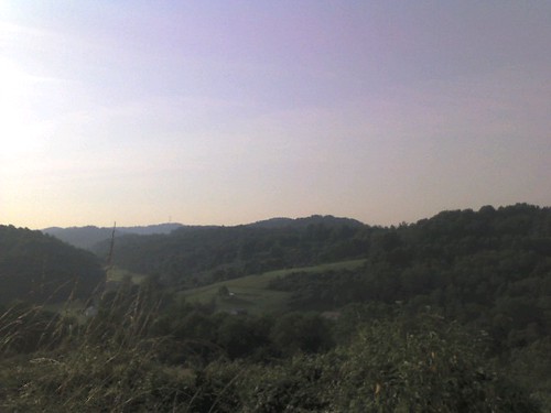
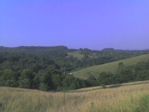
Overlooking Valley from Hay Field

Haunted Flinderation Tunnel
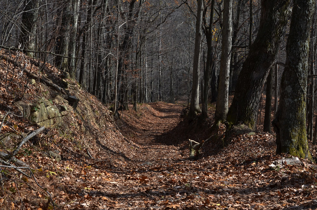
Stutlers Fork

Autumn Country Scents
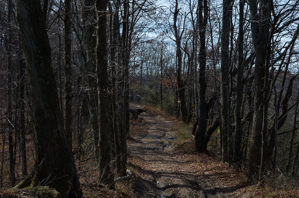
Stutlers Fork

Subtle Winter Flow

From my morning run. Yes I went in there. It was a Raiders of the Lost Ark moment

WV MorganStation
Going Downhill with Hay
Topographic Map of Stillhouse Road, Stillhouse Rd, Southwest, WV, USA
Find elevation by address:

Places near Stillhouse Road, Stillhouse Rd, Southwest, WV, USA:
Stillhouse Road
Bristol
Salem
37 W Virginia Ave
Rock Camp Road
102 Liberty St
76 Liberty St
21 Twin Houses Ln, Salem, WV, USA
Southwest
Reynoldsville
Reynoldsville, WV, USA
North Urban
Doddridge County
Country Club Chrysler Dodge Jeep Ram
New Milton
South Urban
Co Rte 58, Jane Lew, WV, USA
Harrison County
62 Liberty St, West Milford, WV, USA
West Milford
Recent Searches:
- Elevation of Congressional Dr, Stevensville, MD, USA
- Elevation of Bellview Rd, McLean, VA, USA
- Elevation of Stage Island Rd, Chatham, MA, USA
- Elevation of Shibuya Scramble Crossing, 21 Udagawacho, Shibuya City, Tokyo -, Japan
- Elevation of Jadagoniai, Kaunas District Municipality, Lithuania
- Elevation of Pagonija rock, Kranto 7-oji g. 8"N, Kaunas, Lithuania
- Elevation of Co Rd 87, Jamestown, CO, USA
- Elevation of Tenjo, Cundinamarca, Colombia
- Elevation of Côte-des-Neiges, Montreal, QC H4A 3J6, Canada
- Elevation of Bobcat Dr, Helena, MT, USA