Elevation of Cooks Peak, New Mexico, USA
Location: United States > New Mexico > Ocate >
Longitude: -105.04361
Latitude: 36.2417025
Elevation: 2595m / 8514feet
Barometric Pressure: 74KPa
Elevation Map:
Satellite Map:
Related Photos:
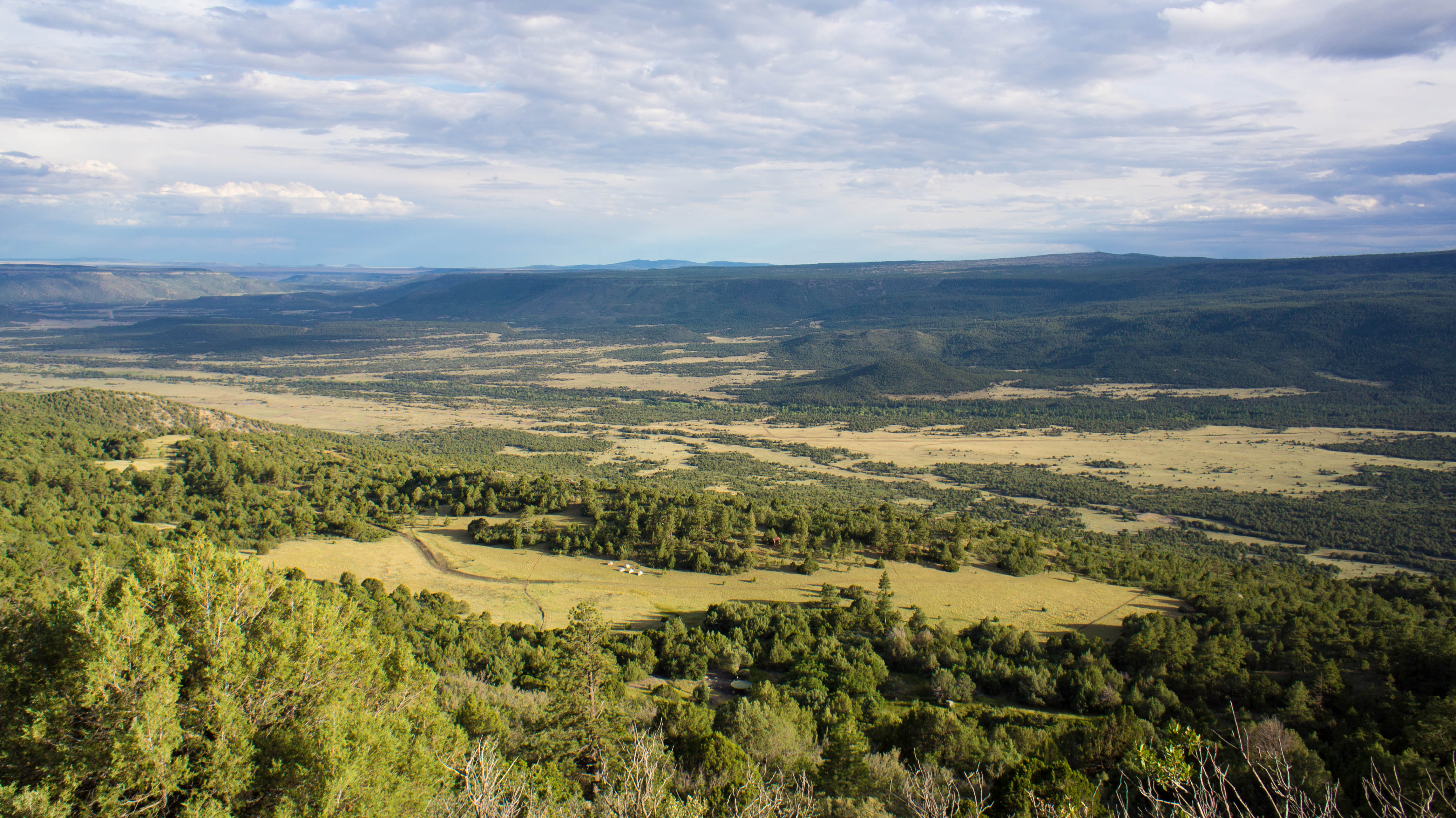
View of our campsite and the valley below from Urraca Mesa
Topographic Map of Cooks Peak, New Mexico, USA
Find elevation by address:

Places near Cooks Peak, New Mexico, USA:
Halls Peak
Ocate
Aspen Hill
Ocate Mesa
Cerro Montoso
Trail Peak
Mesa Urraca
Cerro Del Amole
Coyote Creek
1048 Nm-434
Ojo Feliz
205 Rincon Rd
Agua Fria Peak
Black Mountain
Guadalupita
Black Lake
Bear Mountain
Philmont Scout Ranch
Vista Del Sur
17 Deer Run Rd
Recent Searches:
- Elevation of Corso Fratelli Cairoli, 35, Macerata MC, Italy
- Elevation of Tallevast Rd, Sarasota, FL, USA
- Elevation of 4th St E, Sonoma, CA, USA
- Elevation of Black Hollow Rd, Pennsdale, PA, USA
- Elevation of Oakland Ave, Williamsport, PA, USA
- Elevation of Pedrógão Grande, Portugal
- Elevation of Klee Dr, Martinsburg, WV, USA
- Elevation of Via Roma, Pieranica CR, Italy
- Elevation of Tavkvetili Mountain, Georgia
- Elevation of Hartfords Bluff Cir, Mt Pleasant, SC, USA