Elevation of Cerro Montoso, New Mexico, USA
Location: United States > New Mexico > Mora County > Ojo Feliz >
Longitude: -105.17473
Latitude: 36.1386467
Elevation: 2792m / 9160feet
Barometric Pressure: 72KPa
Elevation Map:
Satellite Map:
Related Photos:
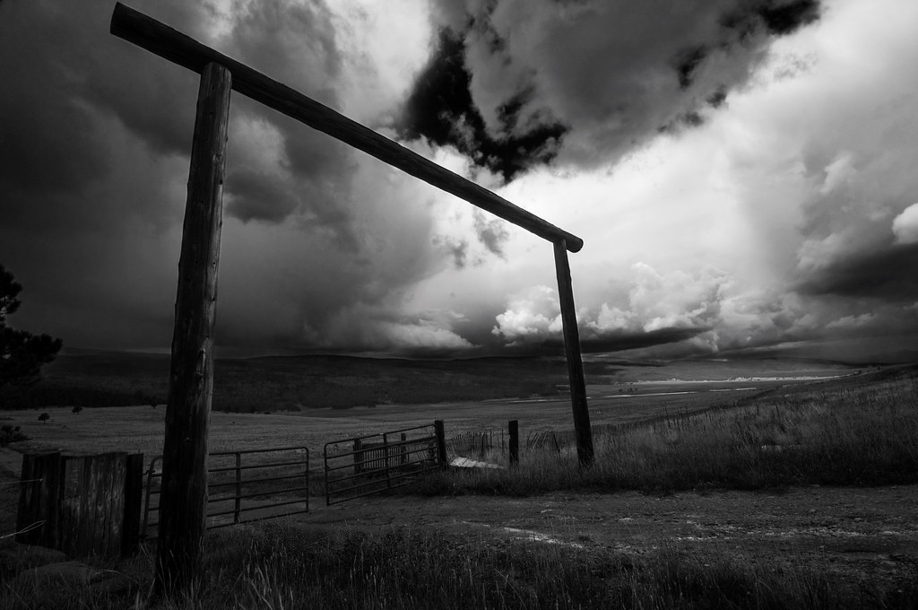
Black Lakes Entrance B&W
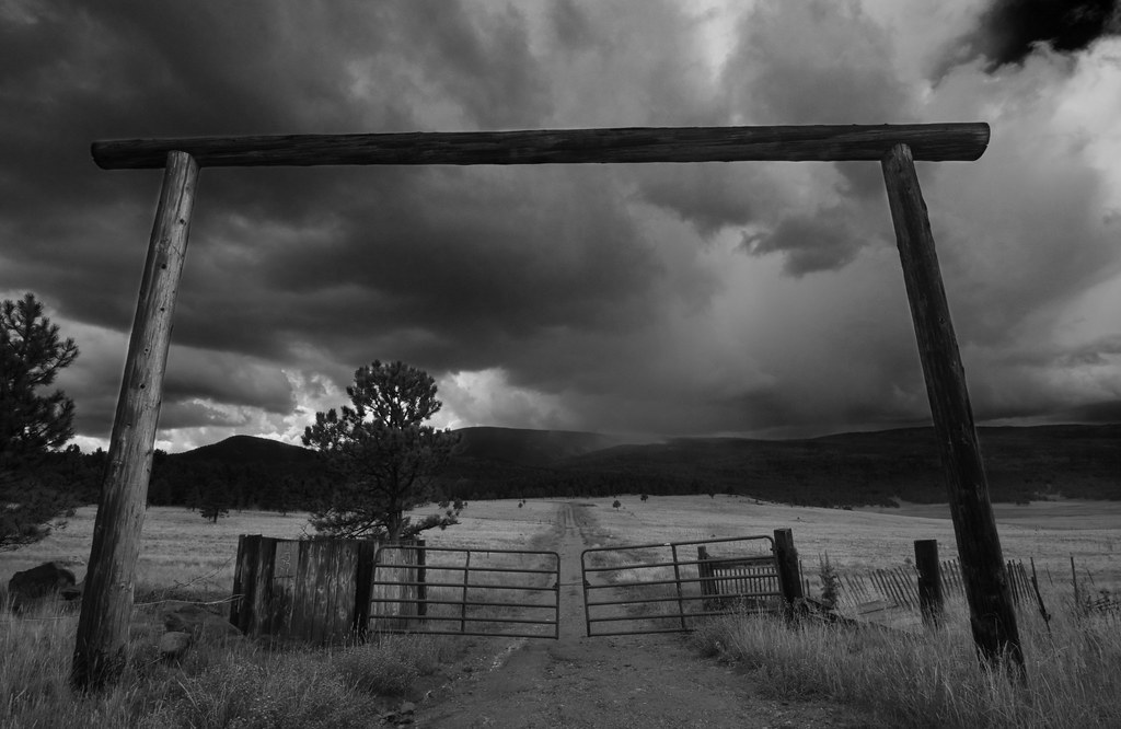
Road to Rain Black Lakes B&W
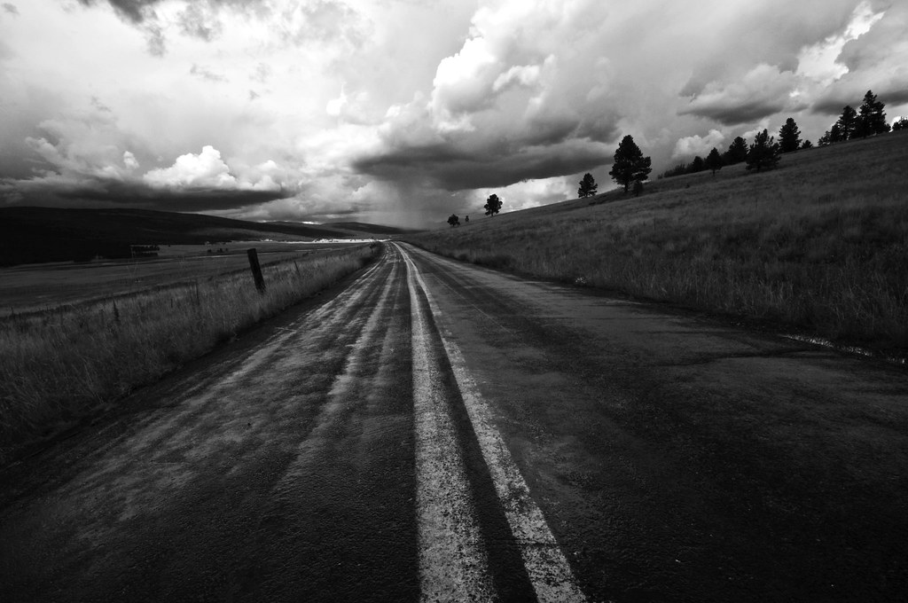
Highway to Black Lakes B&W
Topographic Map of Cerro Montoso, New Mexico, USA
Find elevation by address:

Places near Cerro Montoso, New Mexico, USA:
Guadalupita
1048 Nm-434
205 Rincon Rd
Cerro Del Amole
Ojo Feliz
NM-, Guadalupita, NM, USA
Ocate Mesa
Ocate
Coyote Creek
Halls Peak
Aspen Hill
Rainsville
Cooks Peak
West Canyon Loop
Black Lake
49 Martin Luther King
49 Martin Luther King
Romero Hills Hp
New Mexico 121
Chacon
Recent Searches:
- Elevation of Corso Fratelli Cairoli, 35, Macerata MC, Italy
- Elevation of Tallevast Rd, Sarasota, FL, USA
- Elevation of 4th St E, Sonoma, CA, USA
- Elevation of Black Hollow Rd, Pennsdale, PA, USA
- Elevation of Oakland Ave, Williamsport, PA, USA
- Elevation of Pedrógão Grande, Portugal
- Elevation of Klee Dr, Martinsburg, WV, USA
- Elevation of Via Roma, Pieranica CR, Italy
- Elevation of Tavkvetili Mountain, Georgia
- Elevation of Hartfords Bluff Cir, Mt Pleasant, SC, USA