Elevation of Romero Hills HP, New Mexico, USA
Location: United States > New Mexico > Mora County > Rainsville >
Longitude: -105.2813888
Latitude: 35.9872222
Elevation: 2563m / 8409feet
Barometric Pressure: 0KPa
Related Photos:
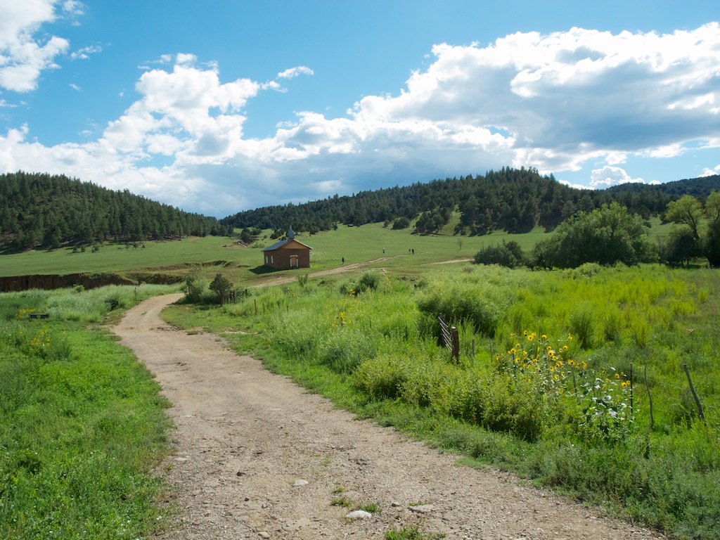
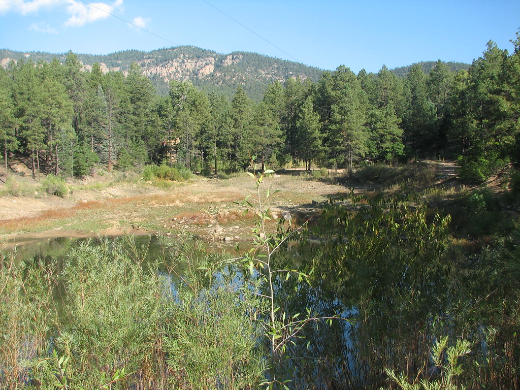
Church in the meadow
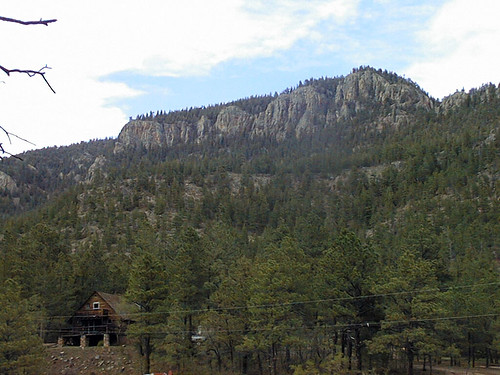
Trip to New Mexico
Trip to New Mexico
Trip to New Mexico
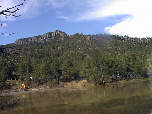
Trip to New Mexico
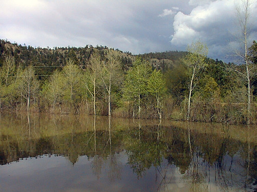
Trip to New Mexico
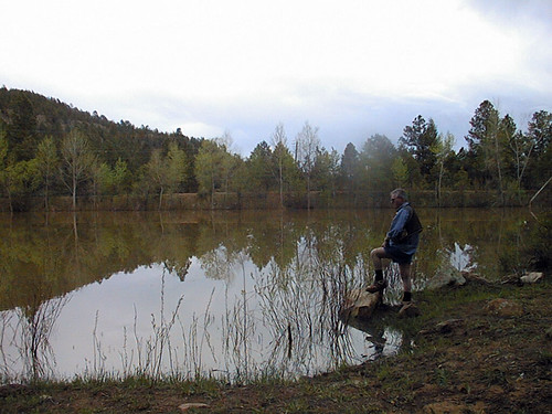
Trip to New Mexico
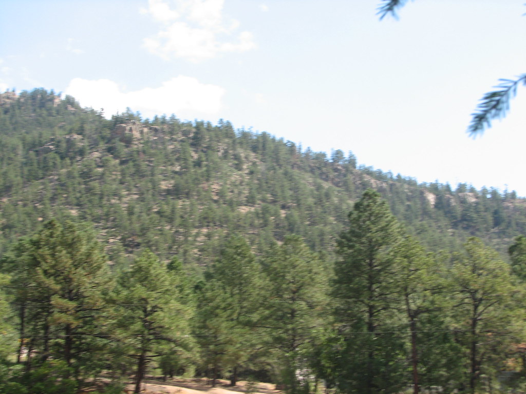
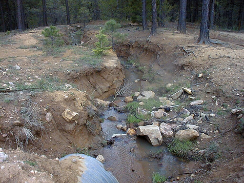
Xmas Tree Canyon
Xmas Tree Canyon
Topographic Map of Romero Hills HP, New Mexico, USA
Find elevation by address:

Places near Romero Hills HP, New Mexico, USA:
NM-, Mora, NM, USA
West Canyon Loop
1448 Nm-434
Mora
Mora County
Rainsville
NM-, Cleveland, NM, USA
Capulin Hill
Cleveland
NM-, Guadalupita, NM, USA
68 County Rd
NM-, Holman, NM, USA
Fragoso Ridge
Monte Aplanado Road
Morphy Lake
Holman Hill
305 County Rd A042
Guadalupita
New Mexico 121
Ojo Feliz
Recent Searches:
- Elevation map of Greenland, Greenland
- Elevation of Sullivan Hill, New York, New York, 10002, USA
- Elevation of Morehead Road, Withrow Downs, Charlotte, Mecklenburg County, North Carolina, 28262, USA
- Elevation of 2800, Morehead Road, Withrow Downs, Charlotte, Mecklenburg County, North Carolina, 28262, USA
- Elevation of Yangbi Yi Autonomous County, Yunnan, China
- Elevation of Pingpo, Yangbi Yi Autonomous County, Yunnan, China
- Elevation of Mount Malong, Pingpo, Yangbi Yi Autonomous County, Yunnan, China
- Elevation map of Yongping County, Yunnan, China
- Elevation of North 8th Street, Palatka, Putnam County, Florida, 32177, USA
- Elevation of 107, Big Apple Road, East Palatka, Putnam County, Florida, 32131, USA
- Elevation of Jiezi, Chongzhou City, Sichuan, China
- Elevation of Chongzhou City, Sichuan, China
- Elevation of Huaiyuan, Chongzhou City, Sichuan, China
- Elevation of Qingxia, Chengdu, Sichuan, China
- Elevation of Corso Fratelli Cairoli, 35, Macerata MC, Italy
- Elevation of Tallevast Rd, Sarasota, FL, USA
- Elevation of 4th St E, Sonoma, CA, USA
- Elevation of Black Hollow Rd, Pennsdale, PA, USA
- Elevation of Oakland Ave, Williamsport, PA, USA
- Elevation of Pedrógão Grande, Portugal