Elevation map of Comox-Strathcona G, BC, Canada
Location: Canada > British Columbia > Strathcona >
Longitude: -126.46347
Latitude: 49.7566589
Elevation: 42m / 138feet
Barometric Pressure: 101KPa
Elevation Map:
Satellite Map:
Related Photos:
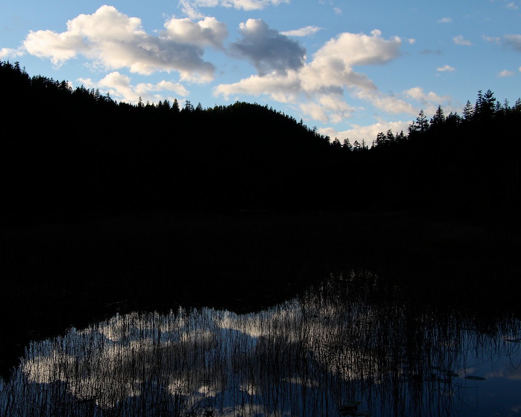
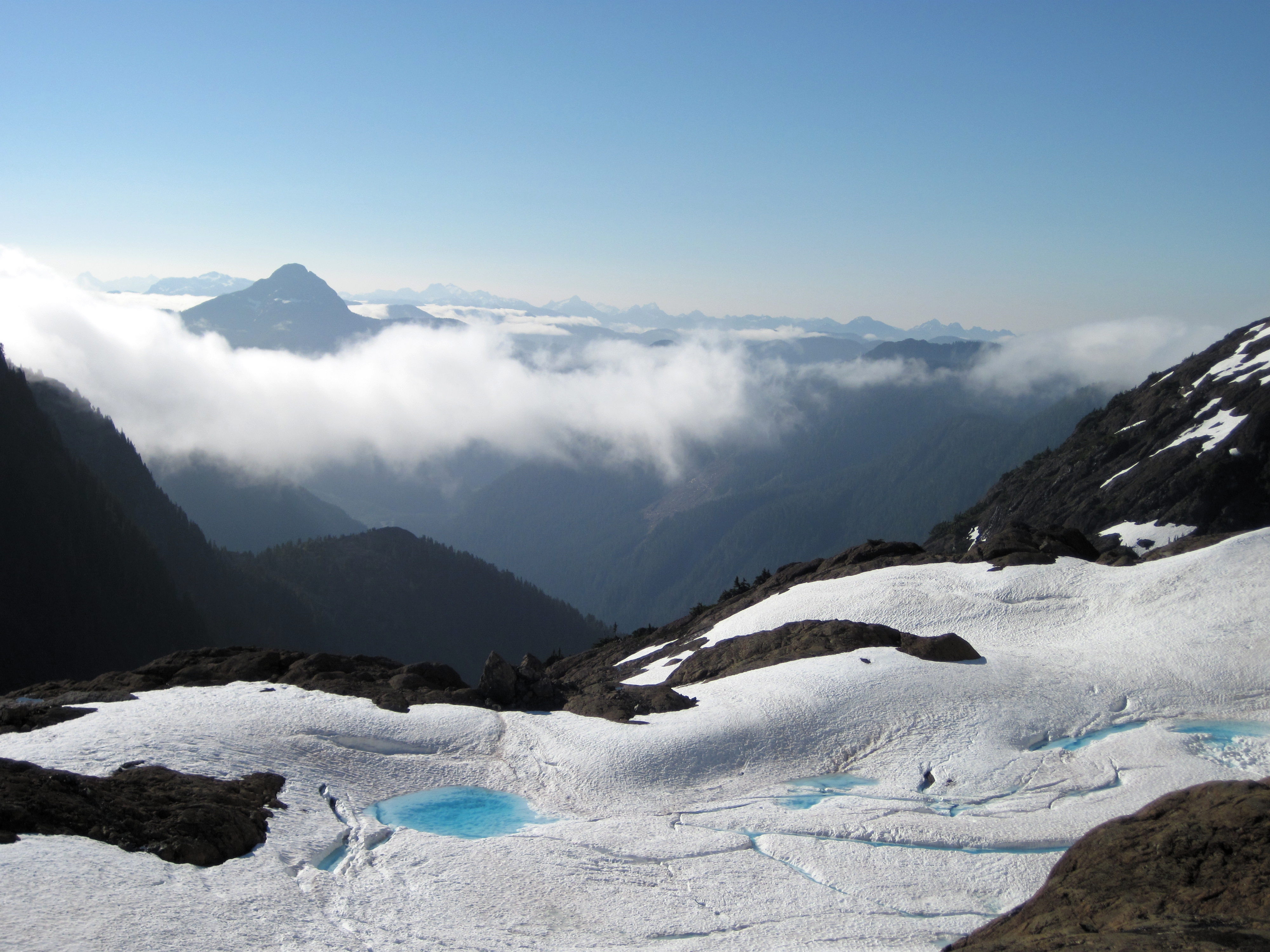
Coulds over darkness
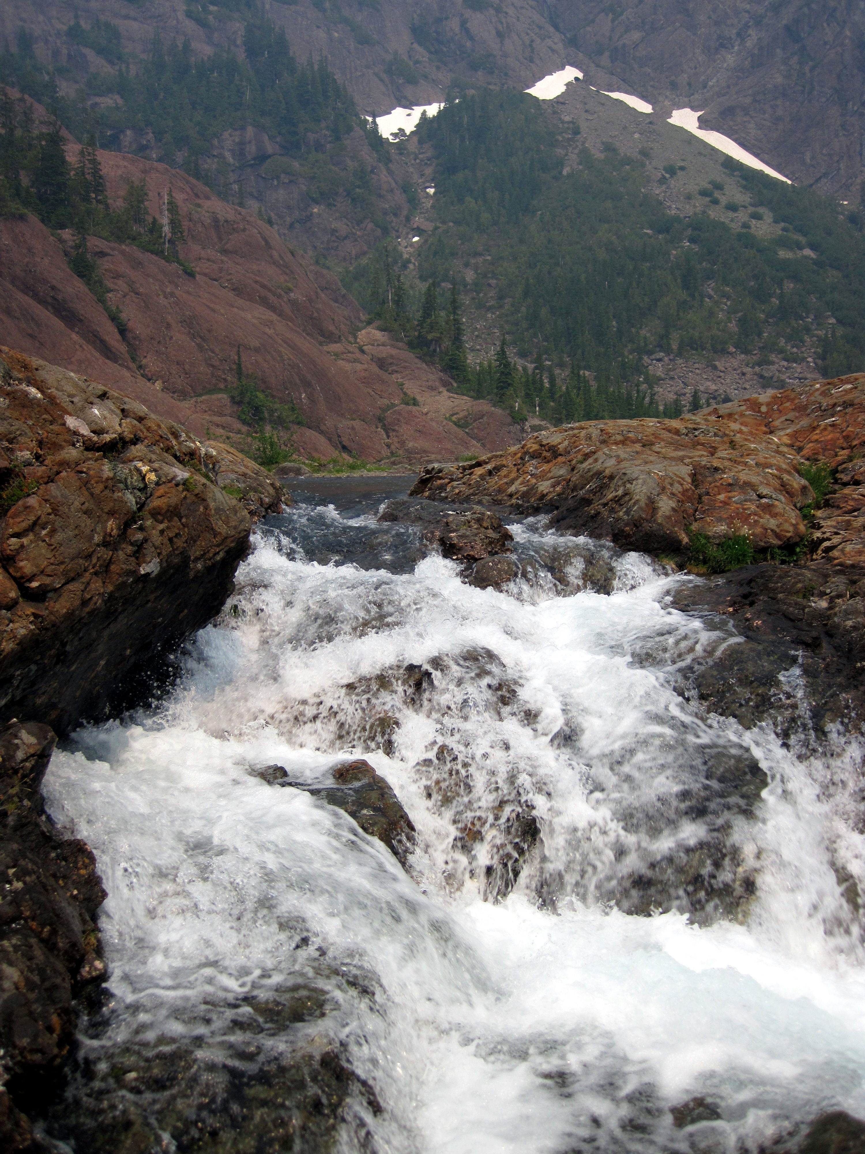
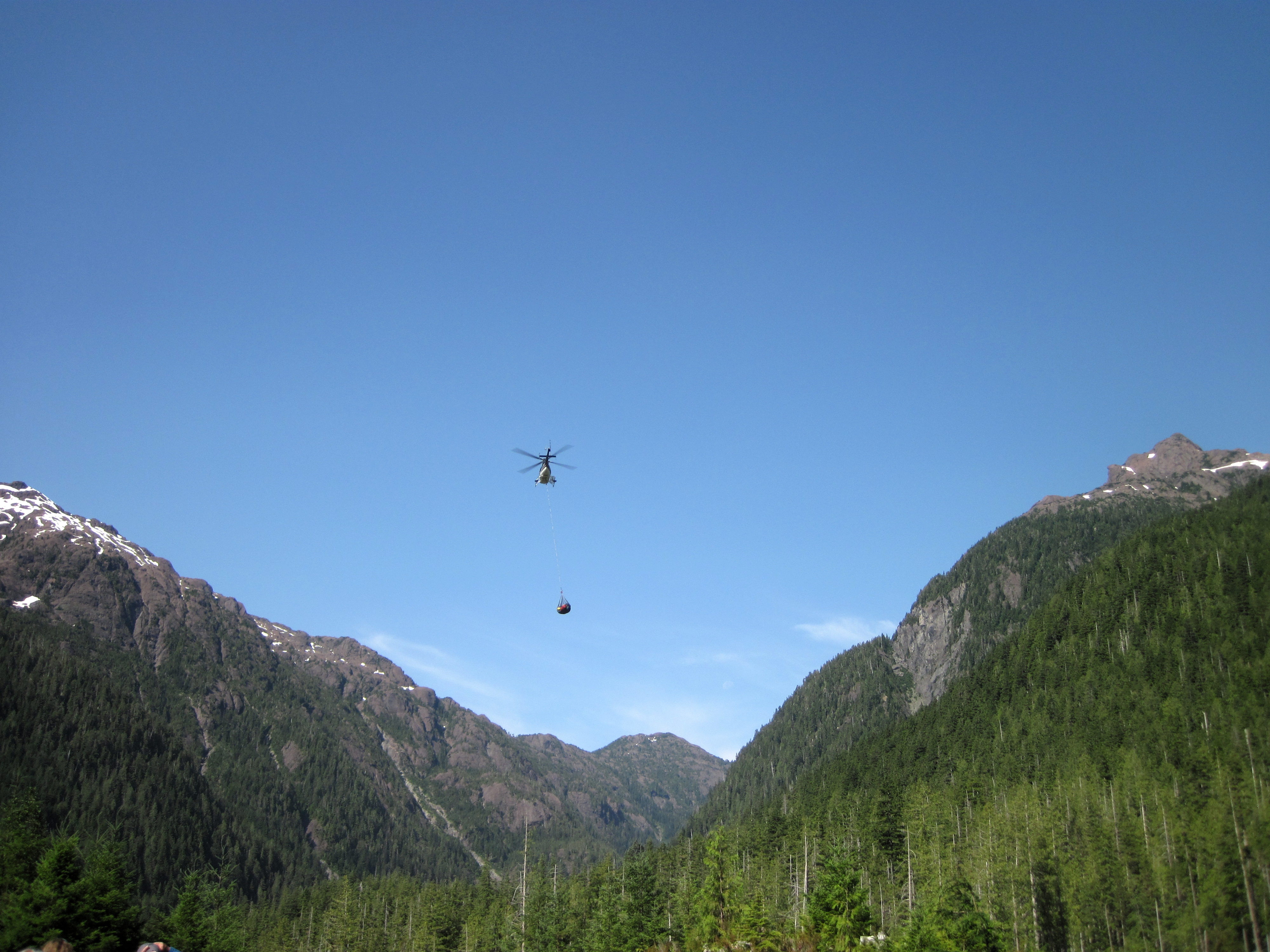
Peter Lake Waterfall
Peter Lake Waterfall
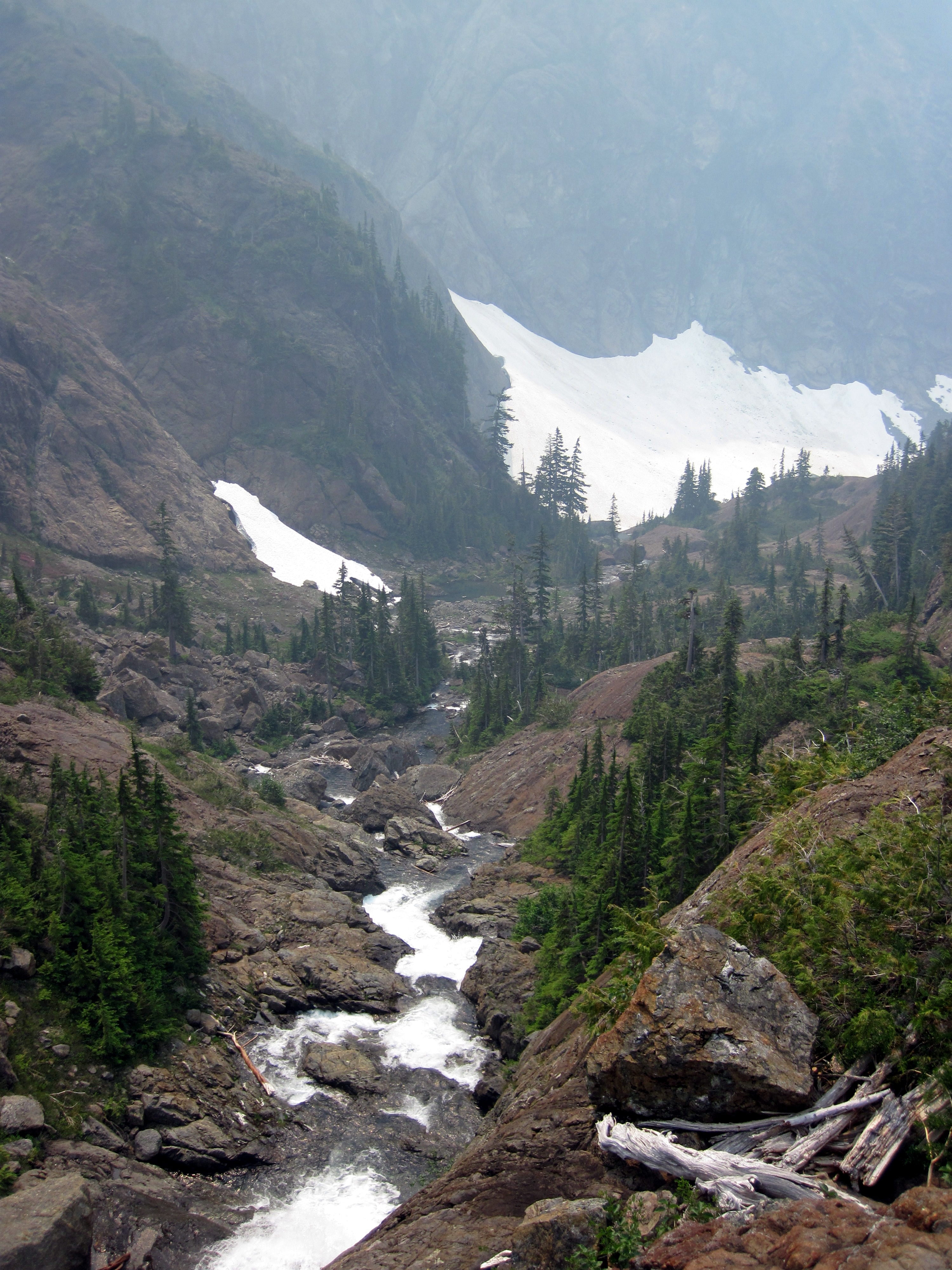
Peter Lake
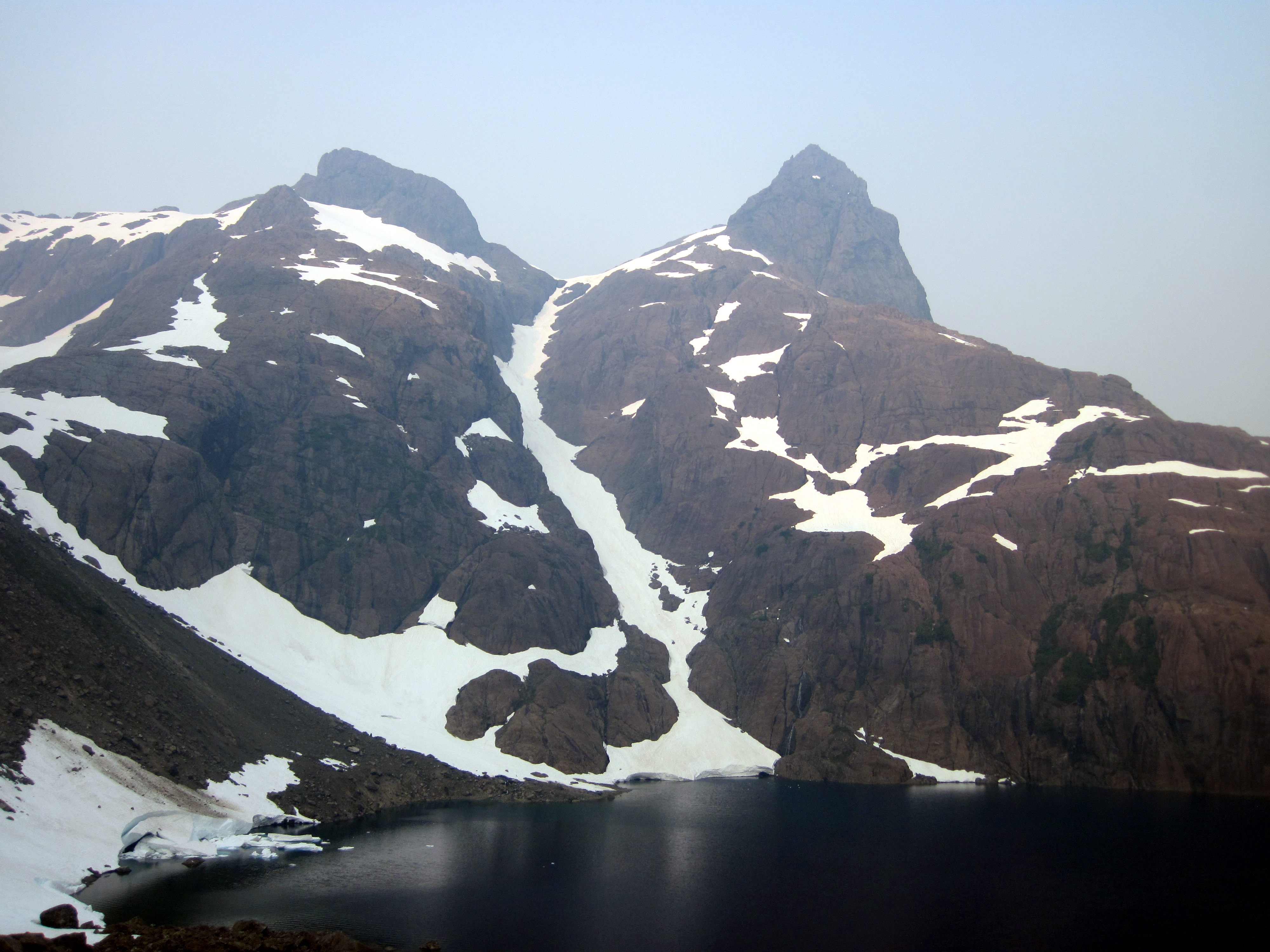
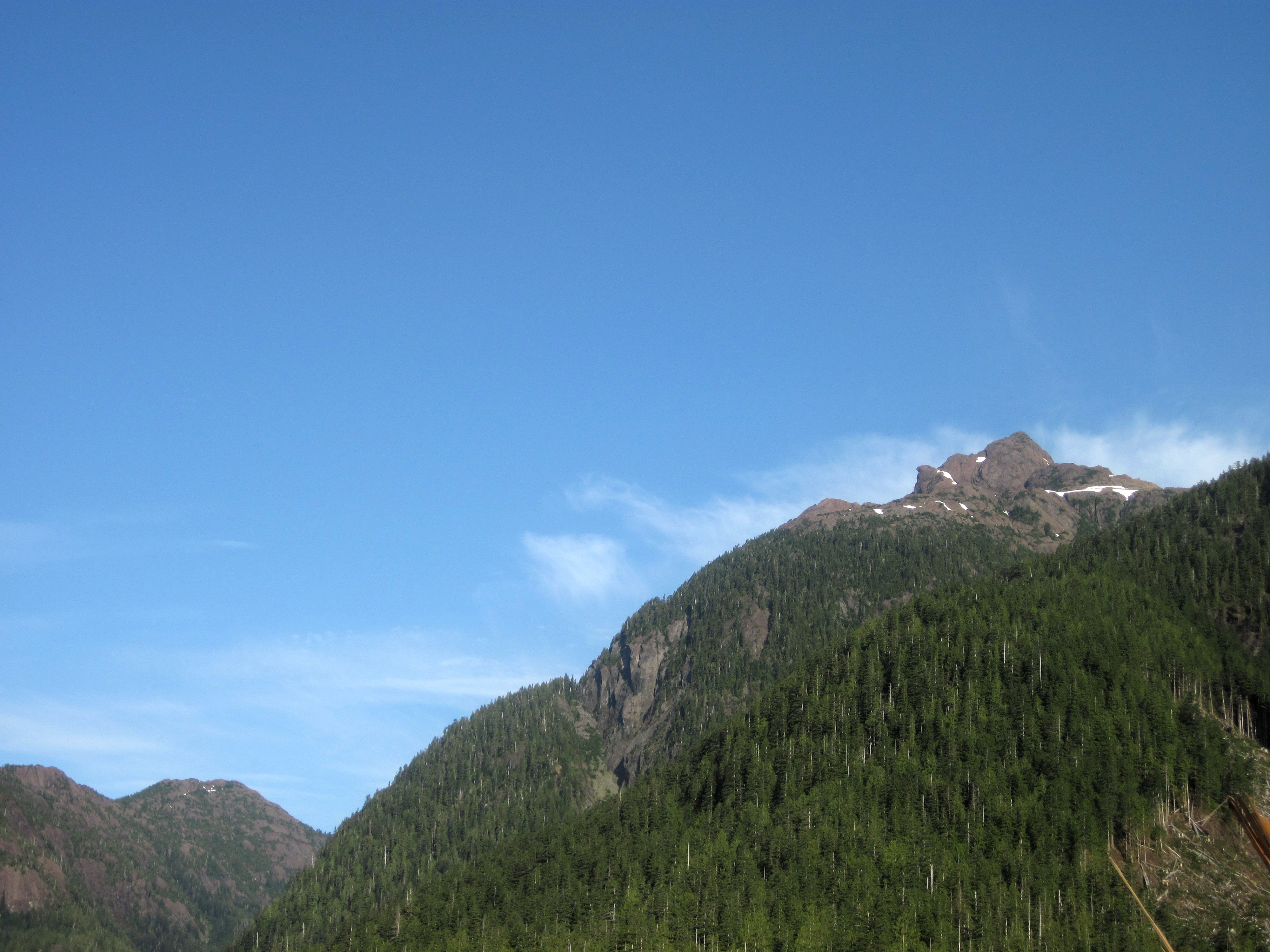
Mount Alava
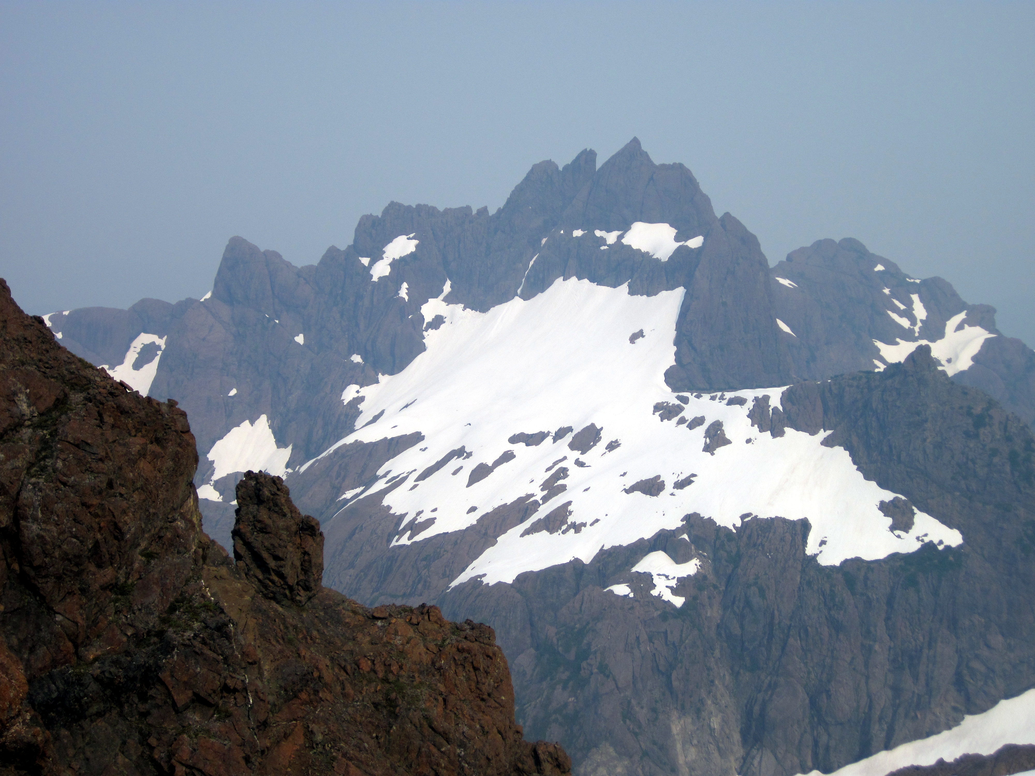
Alava & Bate
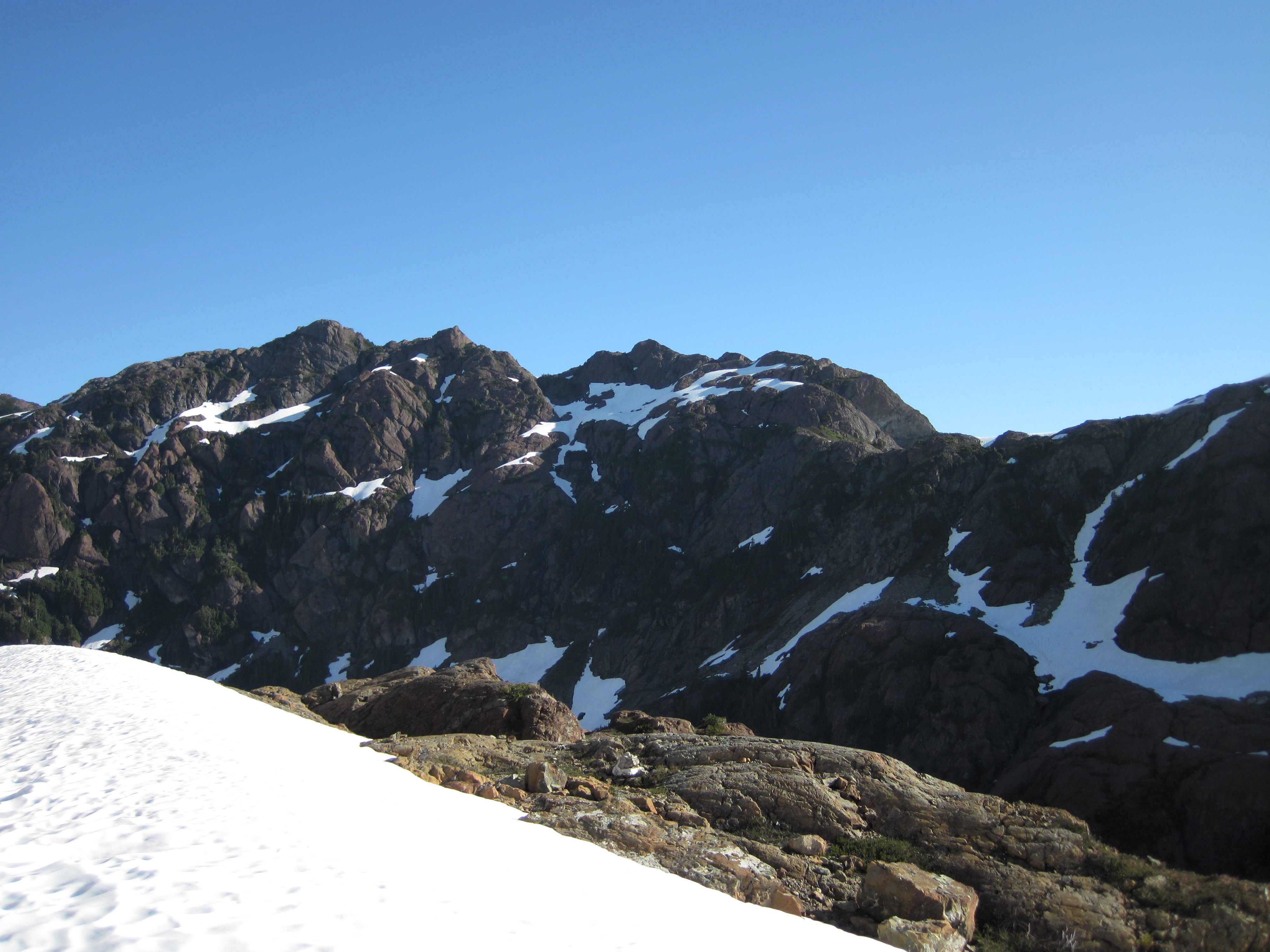
The Ridge
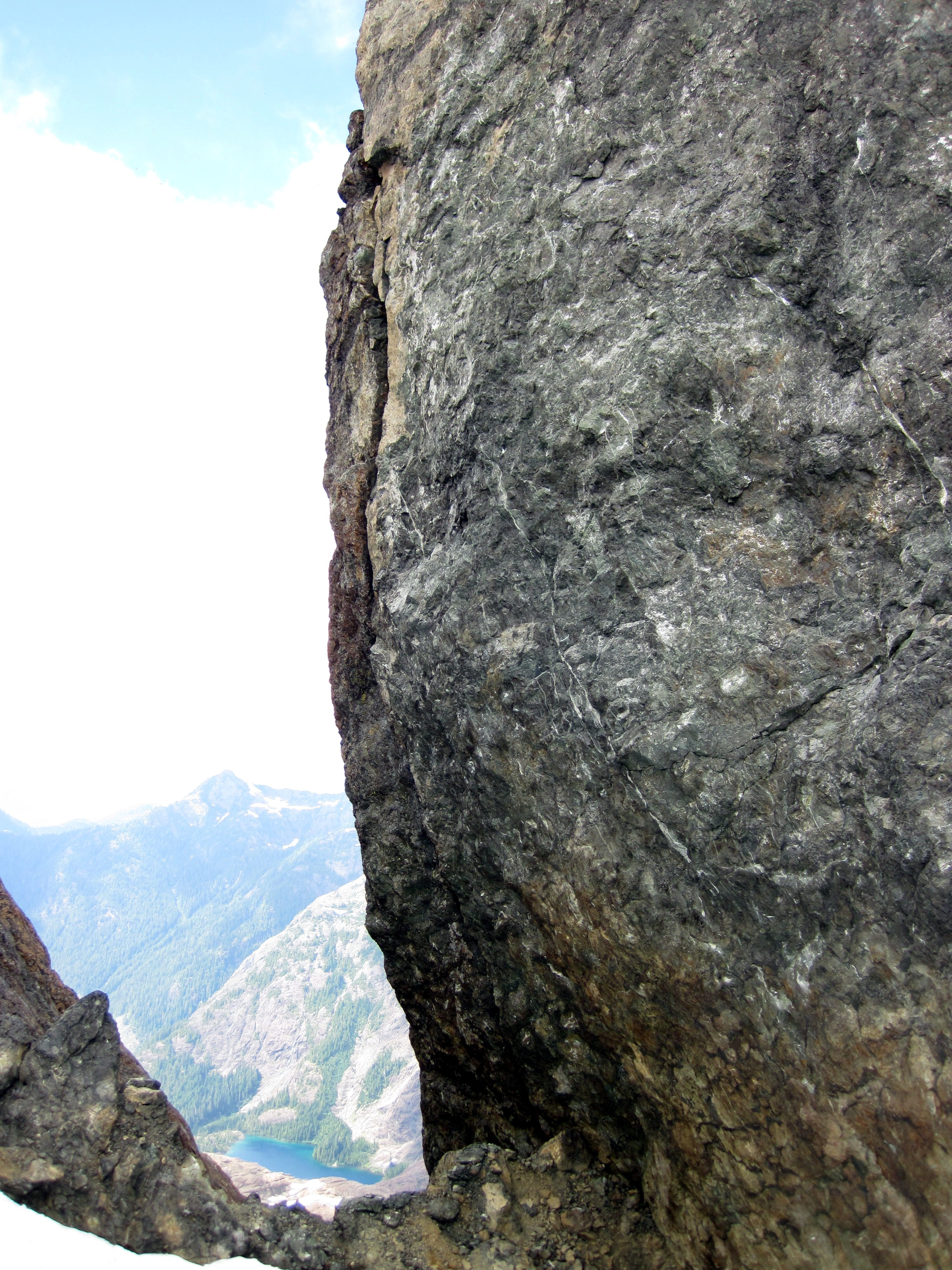
Alava Lake
Conuma Peak
The Easy Way
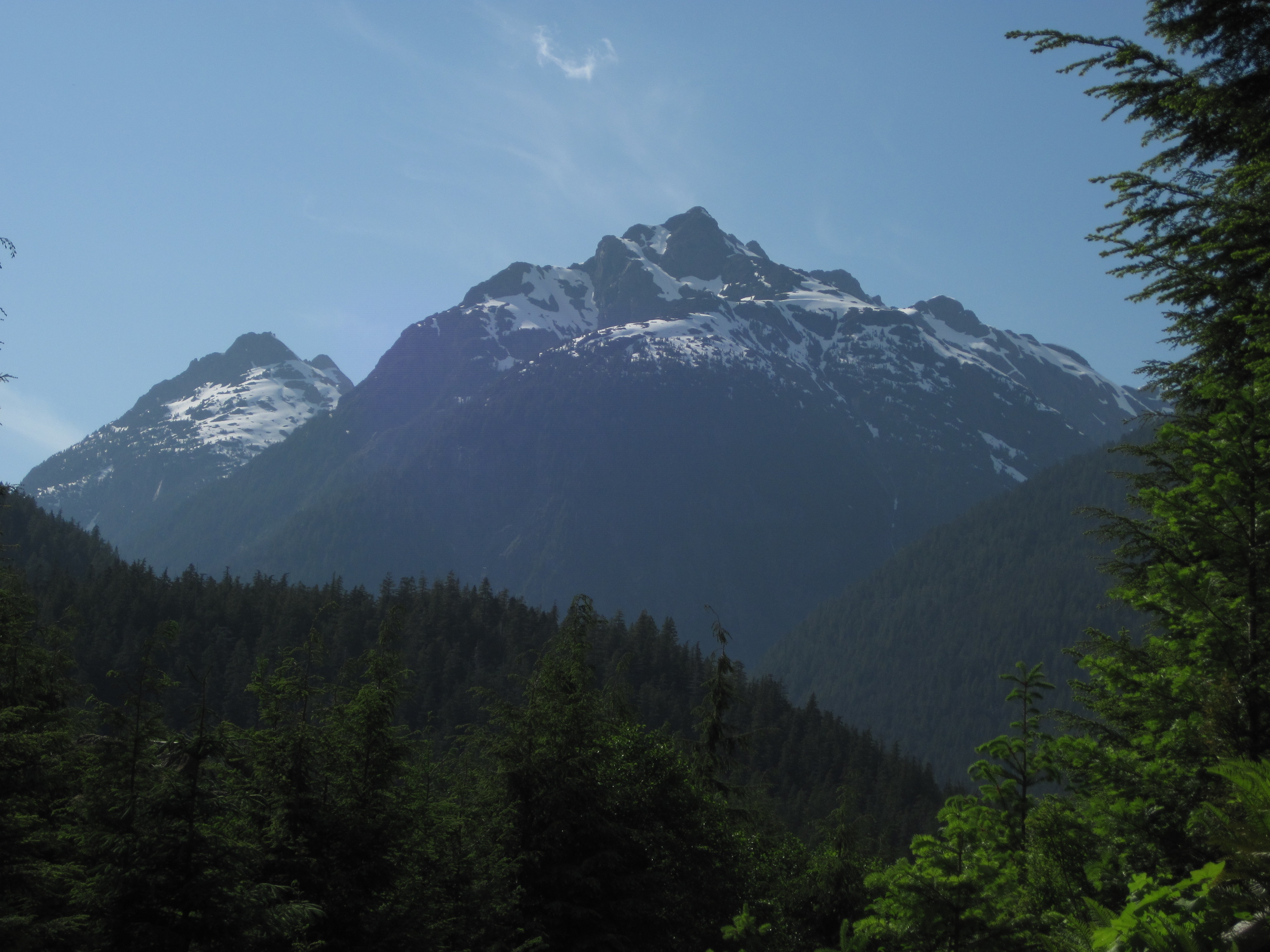
Mount Bate
Bate Satellite
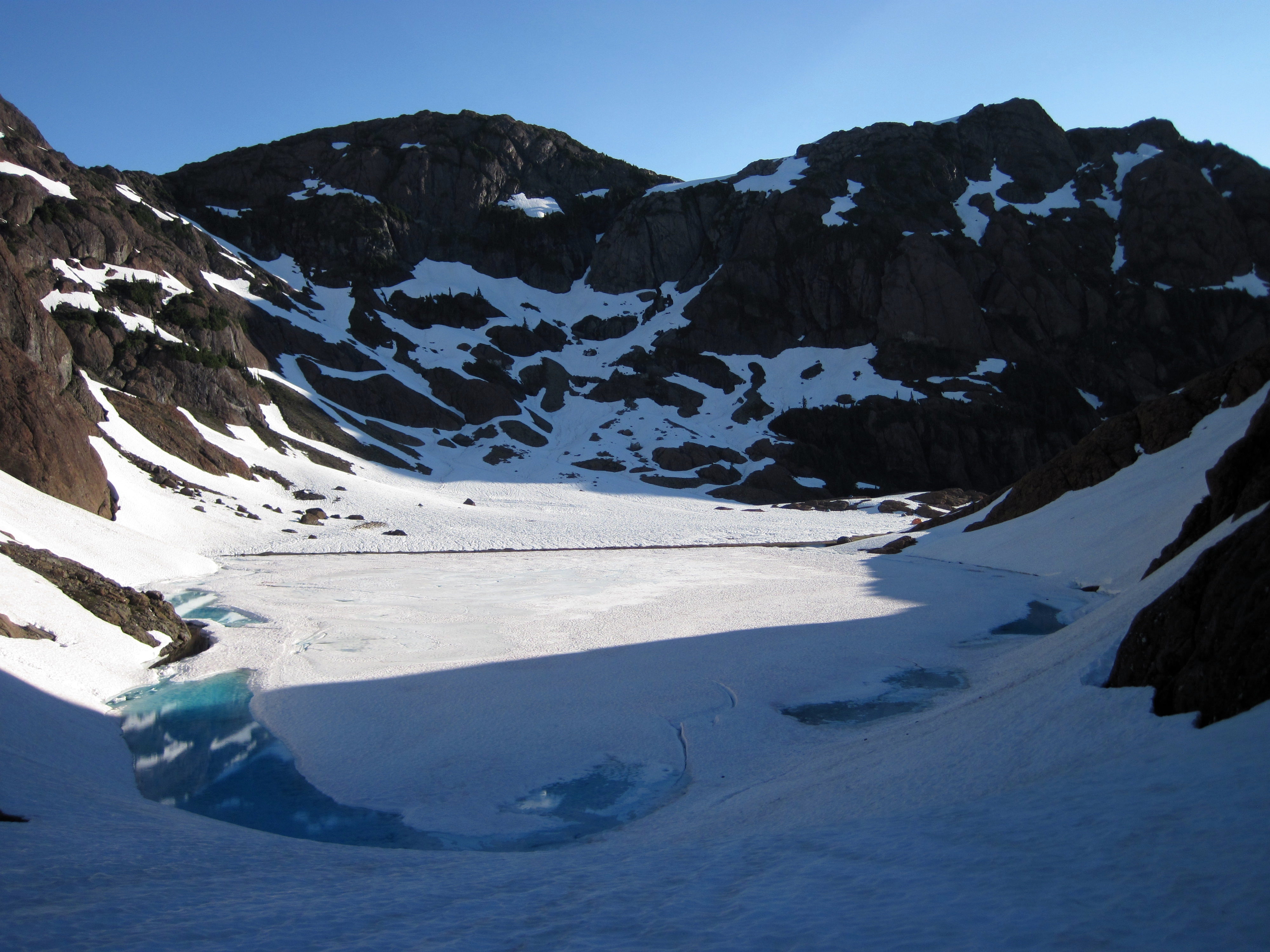
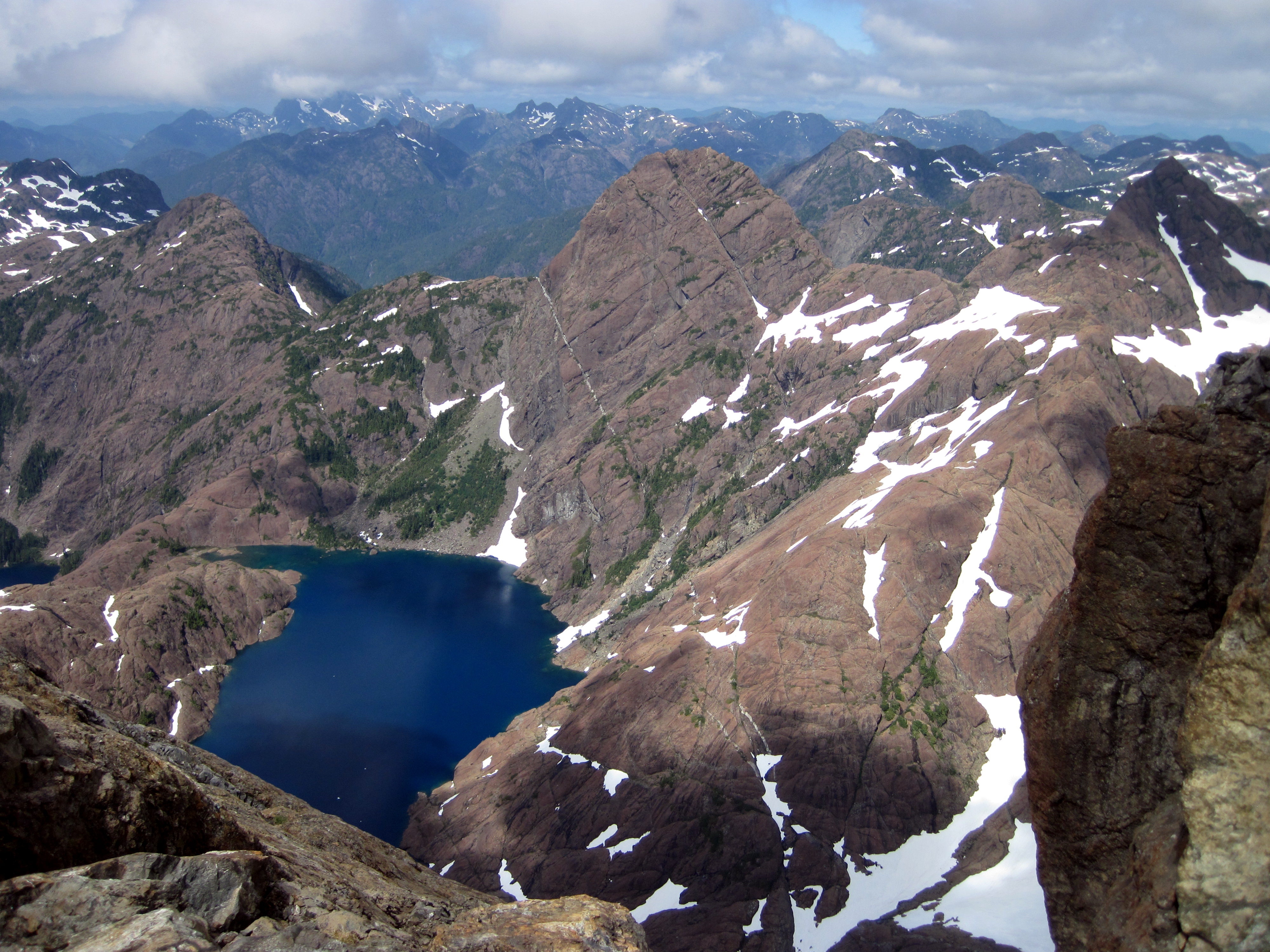
Shangri-La Lake
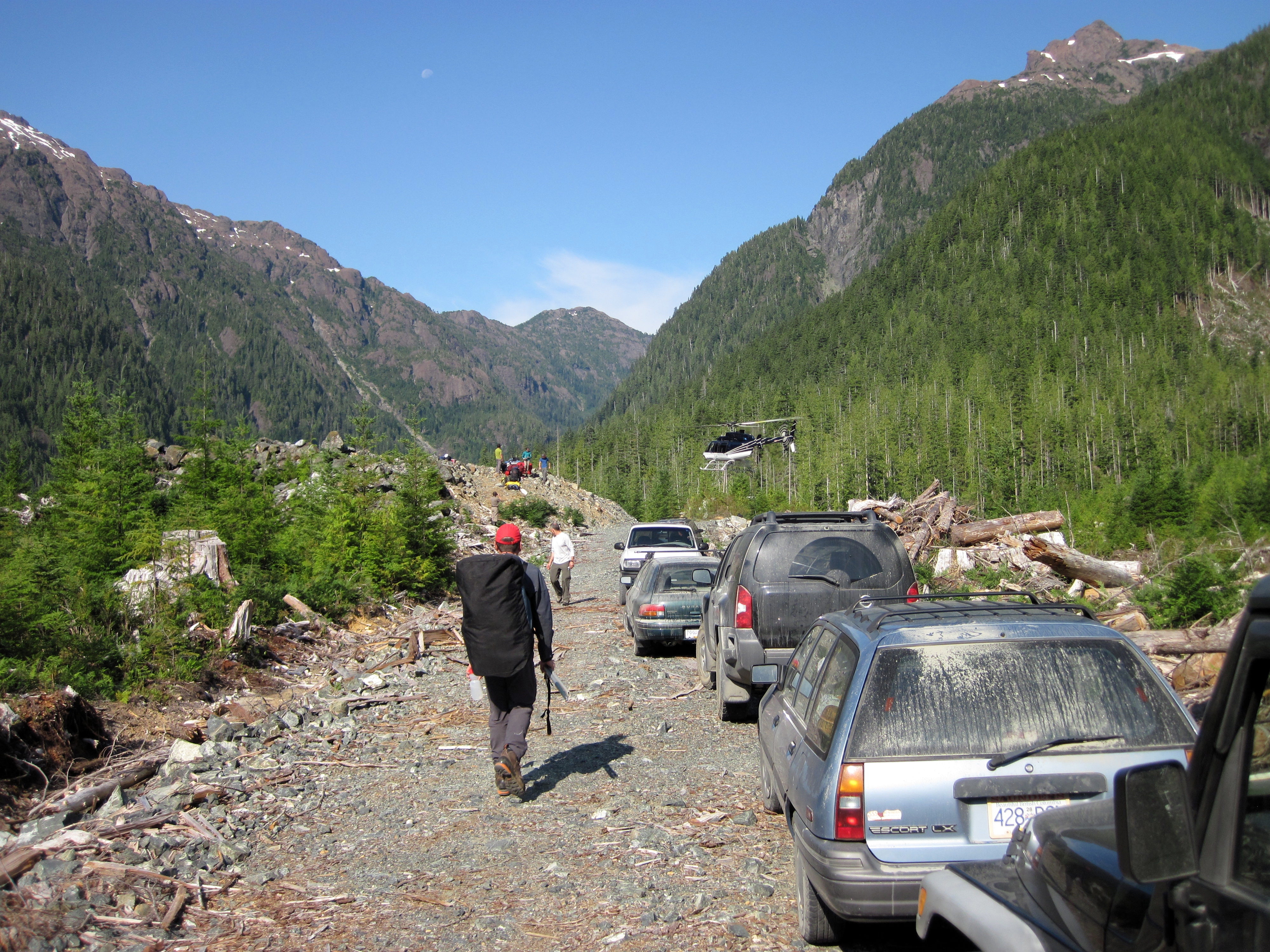
The Easy Way
Topographic Map of Comox-Strathcona G, BC, Canada
Find elevation by address:

Places in Comox-Strathcona G, BC, Canada:
Places near Comox-Strathcona G, BC, Canada:
Klaklakama Lakes
600 Nimpkish Dr
549 Mallard Way
Maquinna Marine Provincial Park
Gold River
Hot Springs Cove
Mount Elliot Ecological Reserve
Ahousat
Golden Hinde
Sayward
100 Dyer Rd
Alberni-clayoquot C
Strathcona Provincial Park Headquarters
Comox-strathcona D
Elk River Road
Arnica Lake Trail
Buttle Lake
Bedwell Lake
Bedwell Trail
Lower Myra Falls
Recent Searches:
- Elevation of Chesaw Rd, Oroville, WA, USA
- Elevation of N, Mt Pleasant, UT, USA
- Elevation of 6 Rue Jules Ferry, Beausoleil, France
- Elevation of Sattva Horizon, 4JC6+G9P, Vinayak Nagar, Kattigenahalli, Bengaluru, Karnataka, India
- Elevation of Great Brook Sports, Gold Star Hwy, Groton, CT, USA
- Elevation of 10 Mountain Laurels Dr, Nashua, NH, USA
- Elevation of 16 Gilboa Ln, Nashua, NH, USA
- Elevation of Laurel Rd, Townsend, TN, USA
- Elevation of 3 Nestling Wood Dr, Long Valley, NJ, USA
- Elevation of Ilungu, Tanzania