Elevation of Mallard Way, Gold River, BC V0P, Canada
Location: Canada > British Columbia > Strathcona > Comox-strathcona G > Gold River >
Longitude: -126.05280
Latitude: 49.782029
Elevation: 133m / 436feet
Barometric Pressure: 100KPa
Elevation Map:
Satellite Map:
Related Photos:
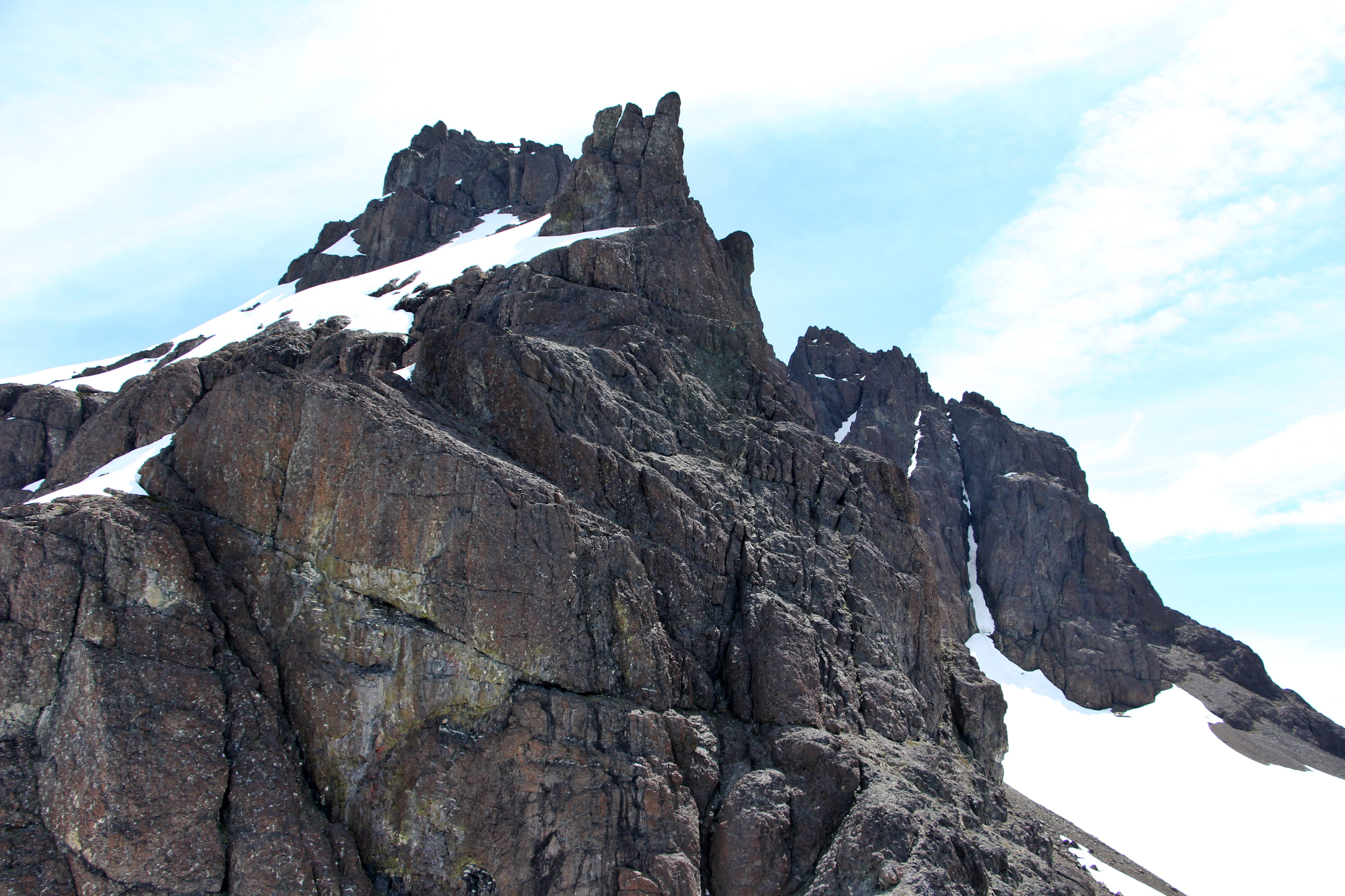
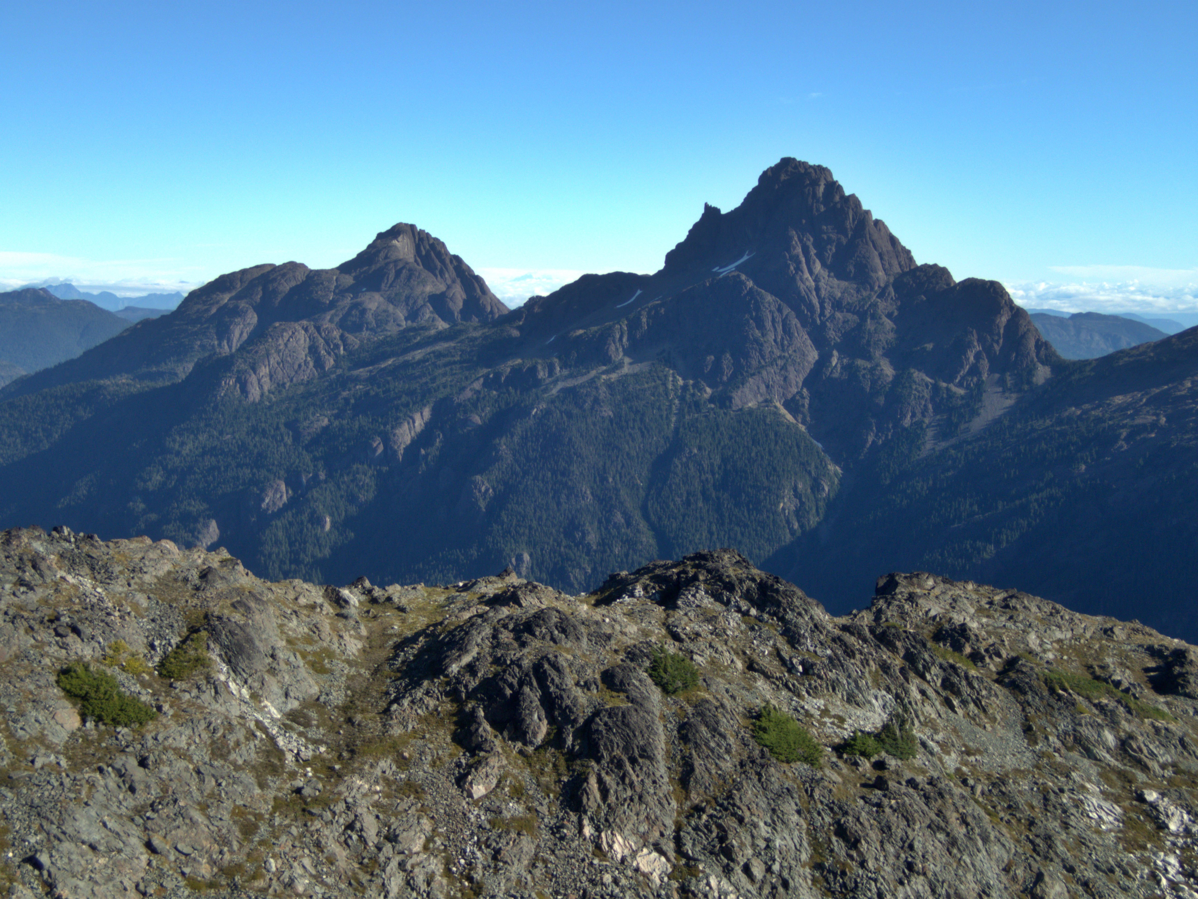
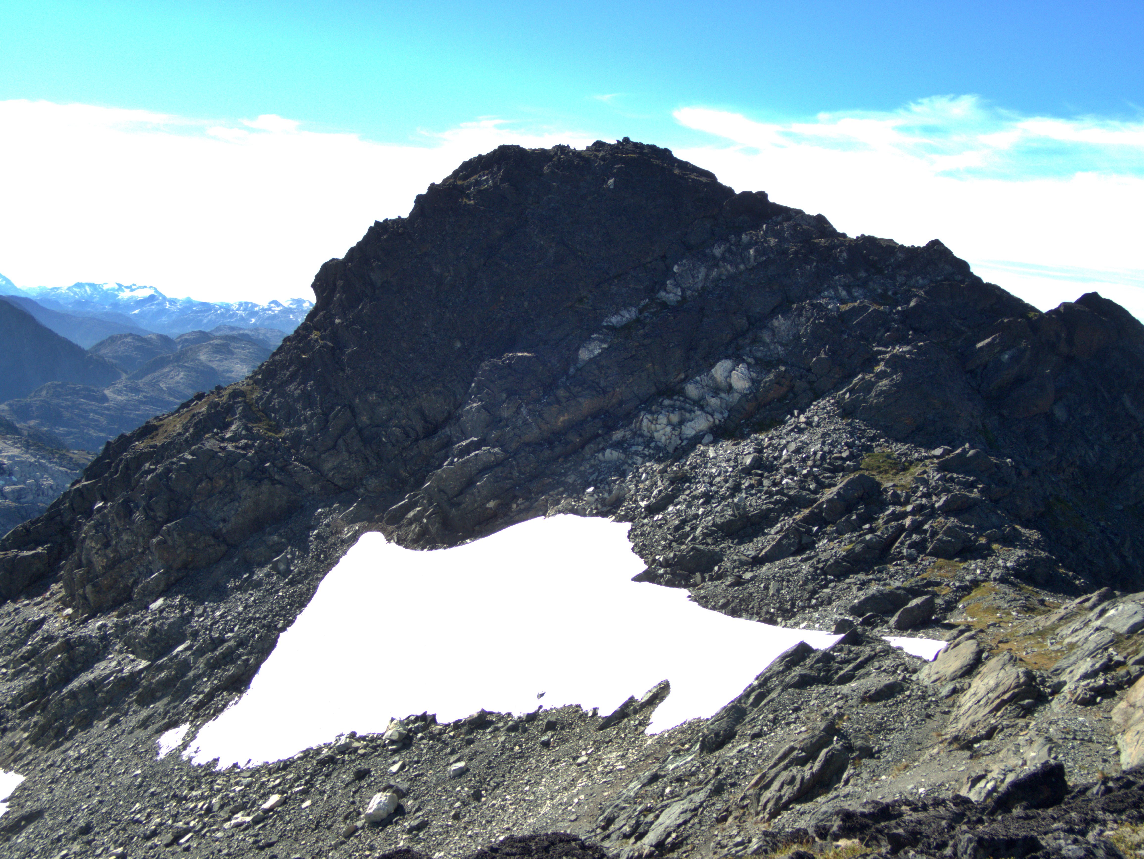
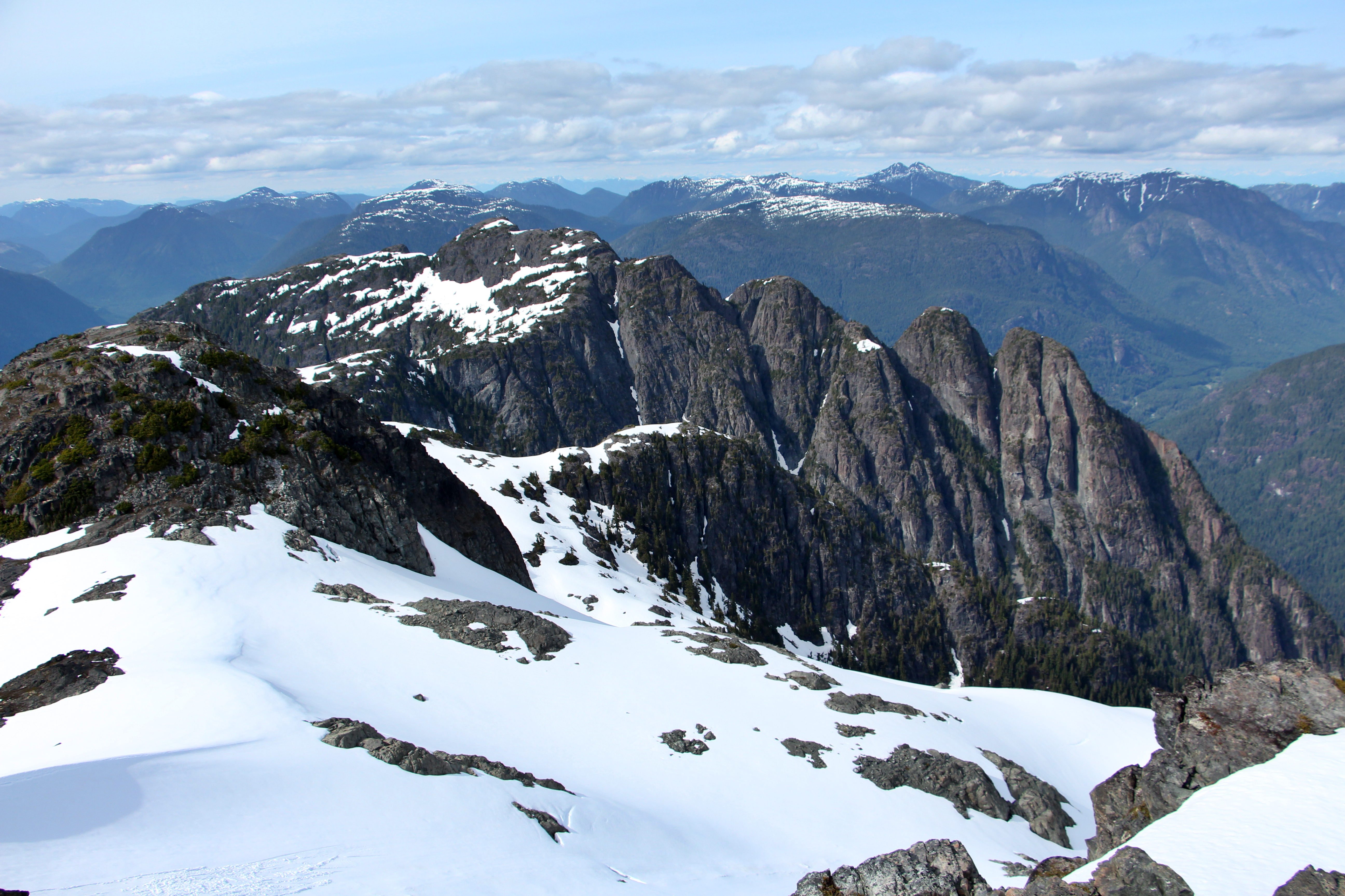
Kings Peak
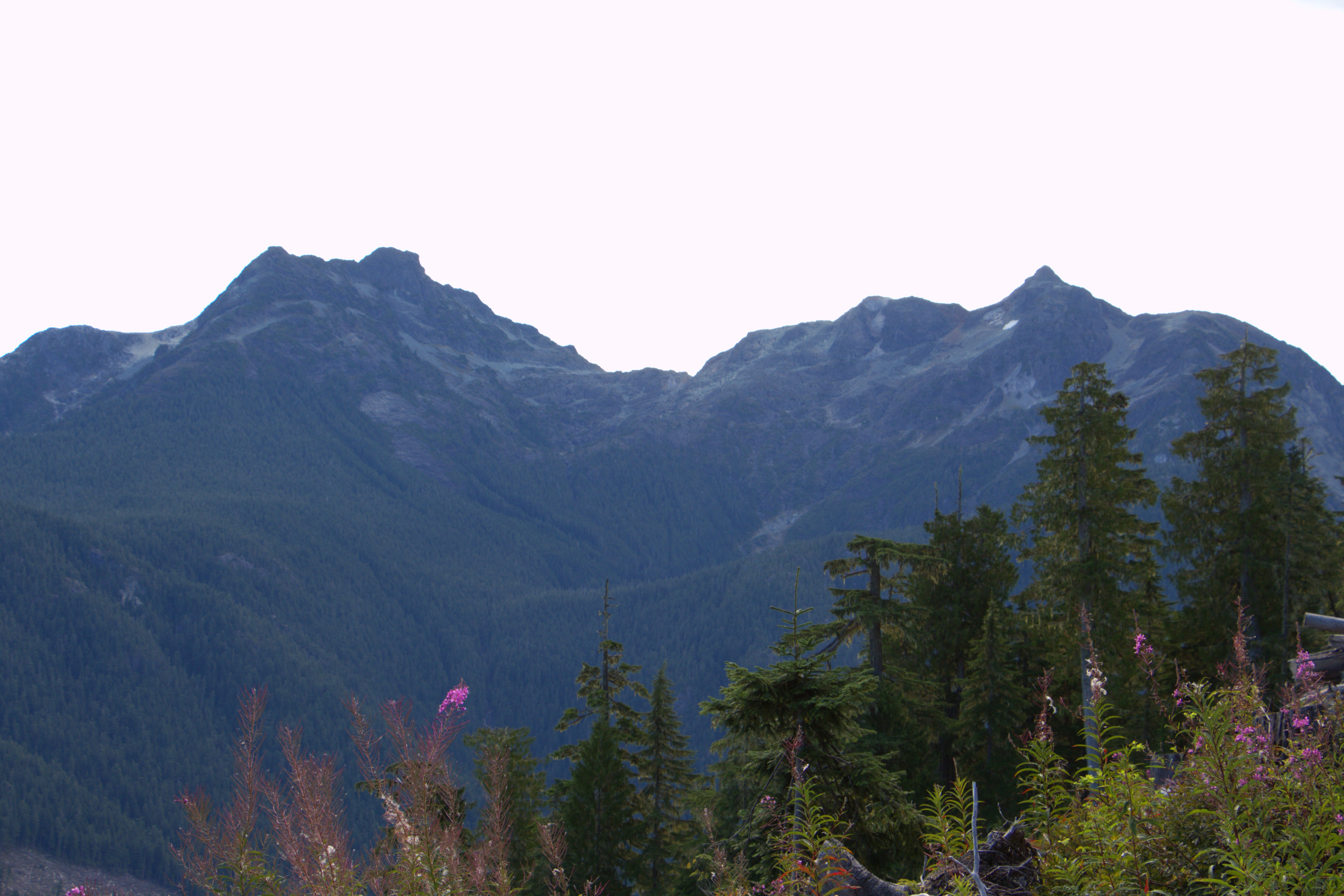
Elkhorn Mountain
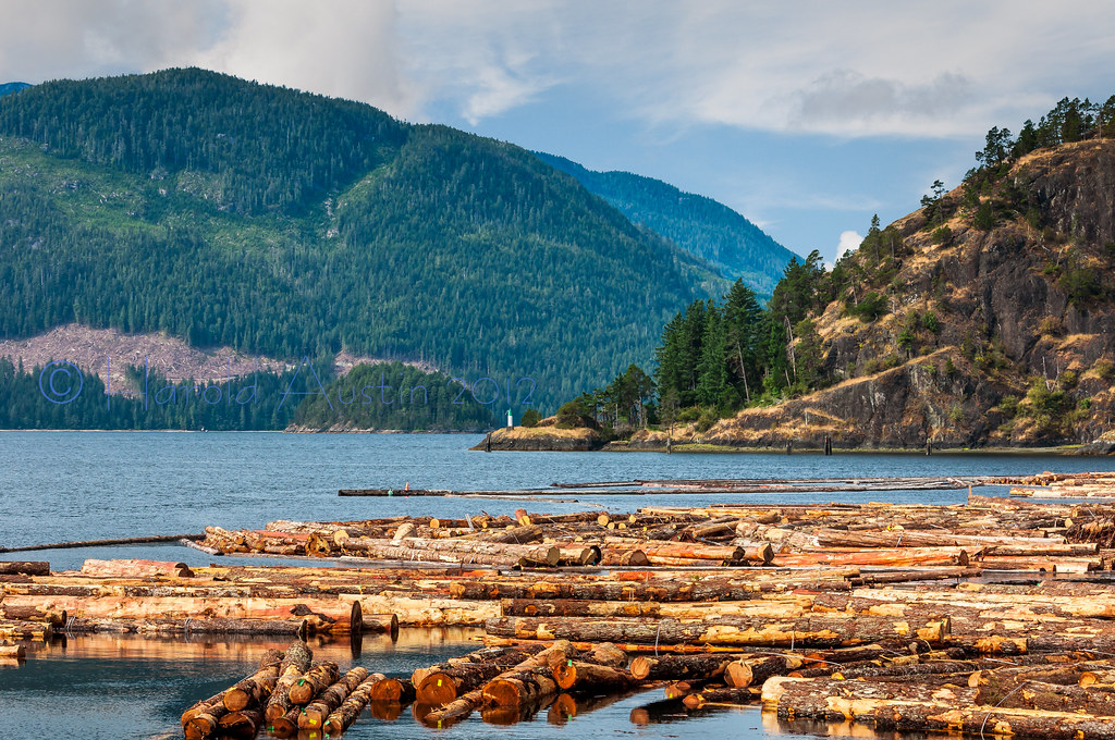
Gold River waterfront

Looking West

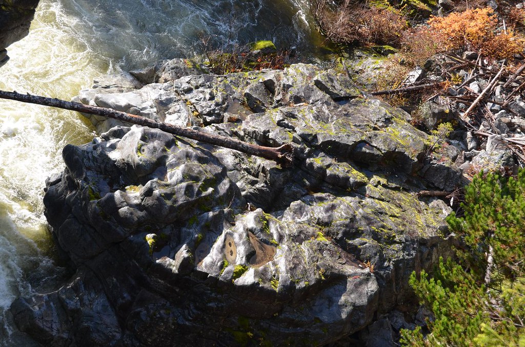
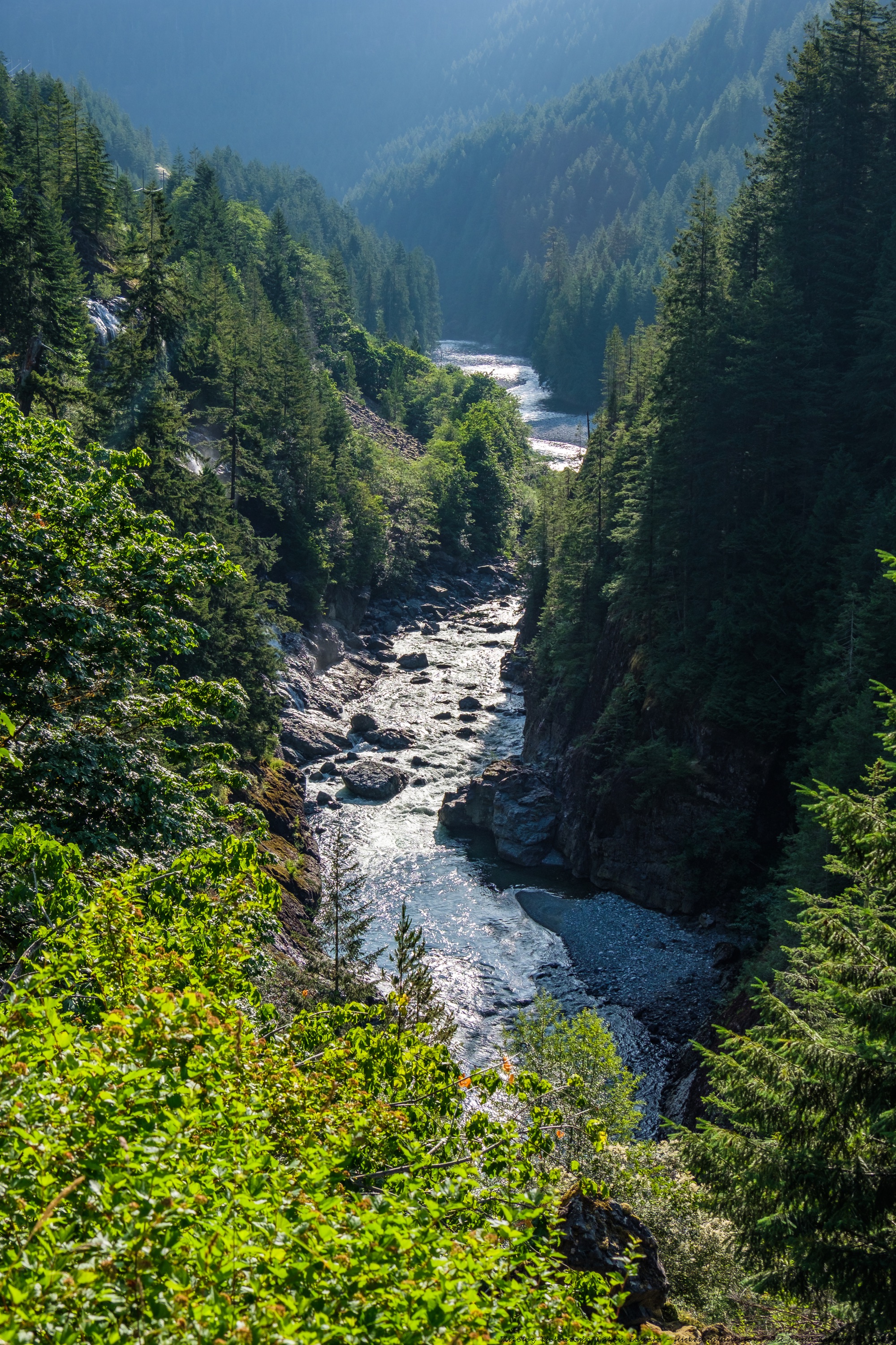
gorge from the matchlee drive bridge

muchalat drive
Rambler and Foster

gorge from the matchlee drive bridge

gorge from the matchlee drive bridge
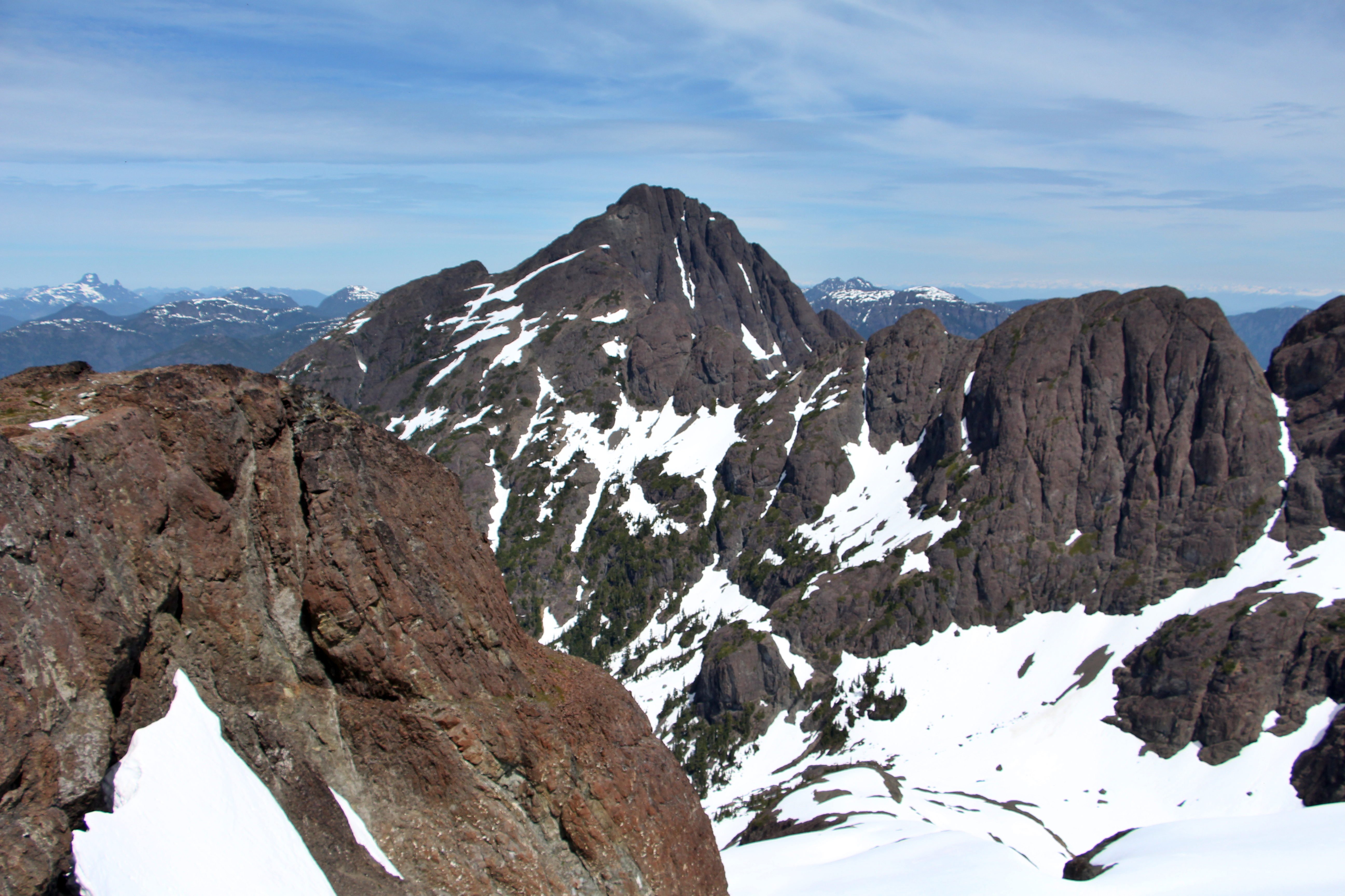
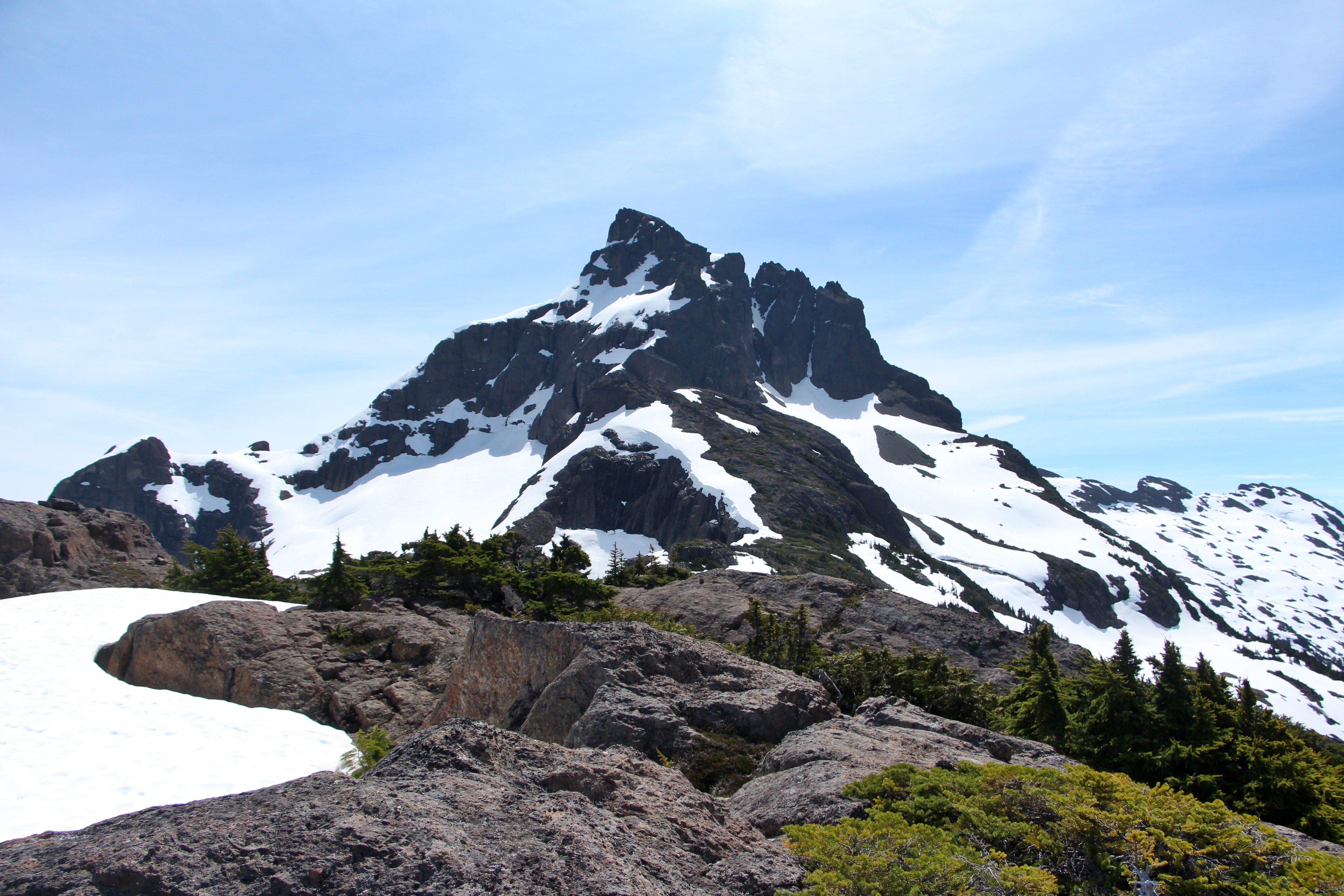
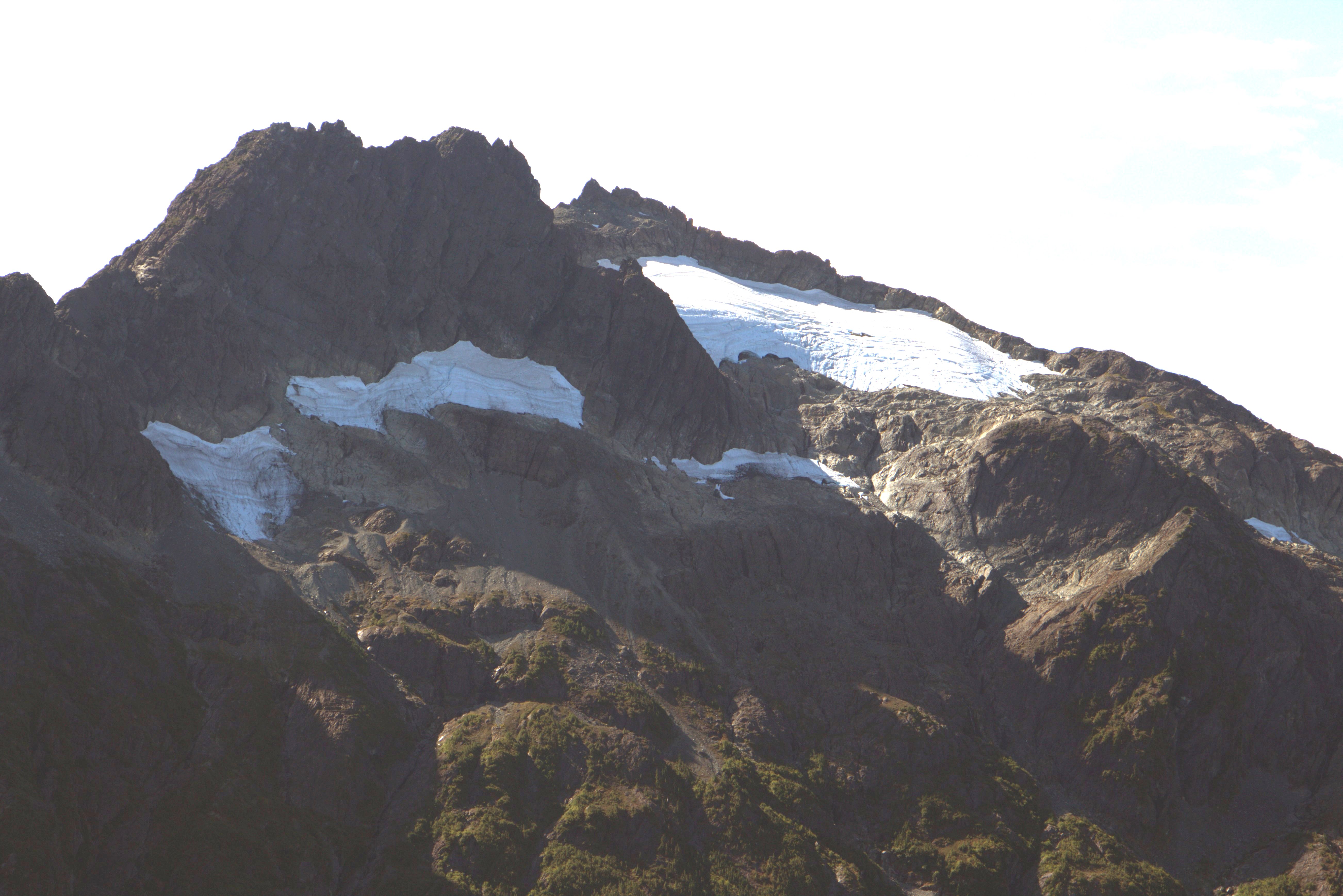
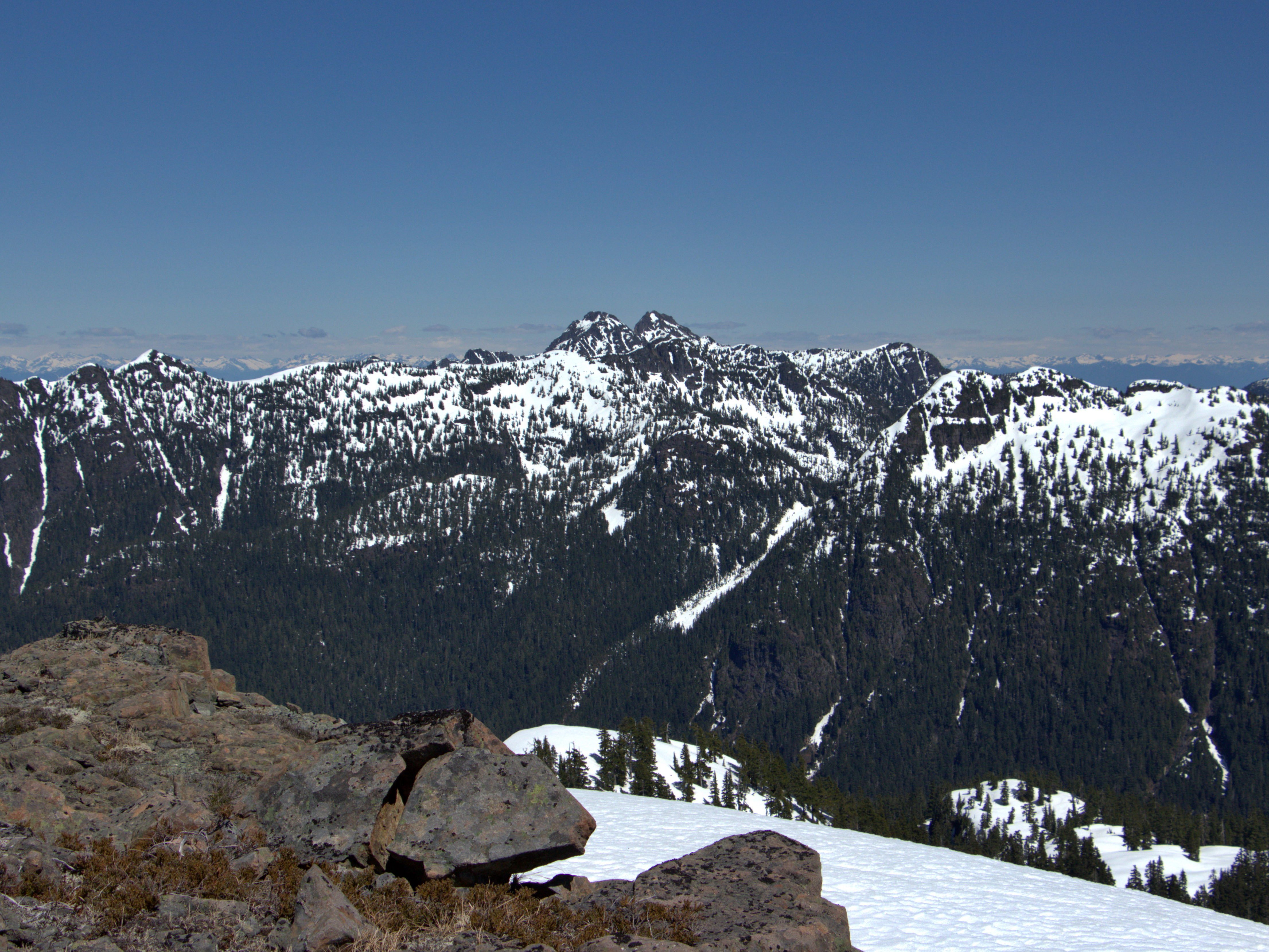
Elkhorn Mountain
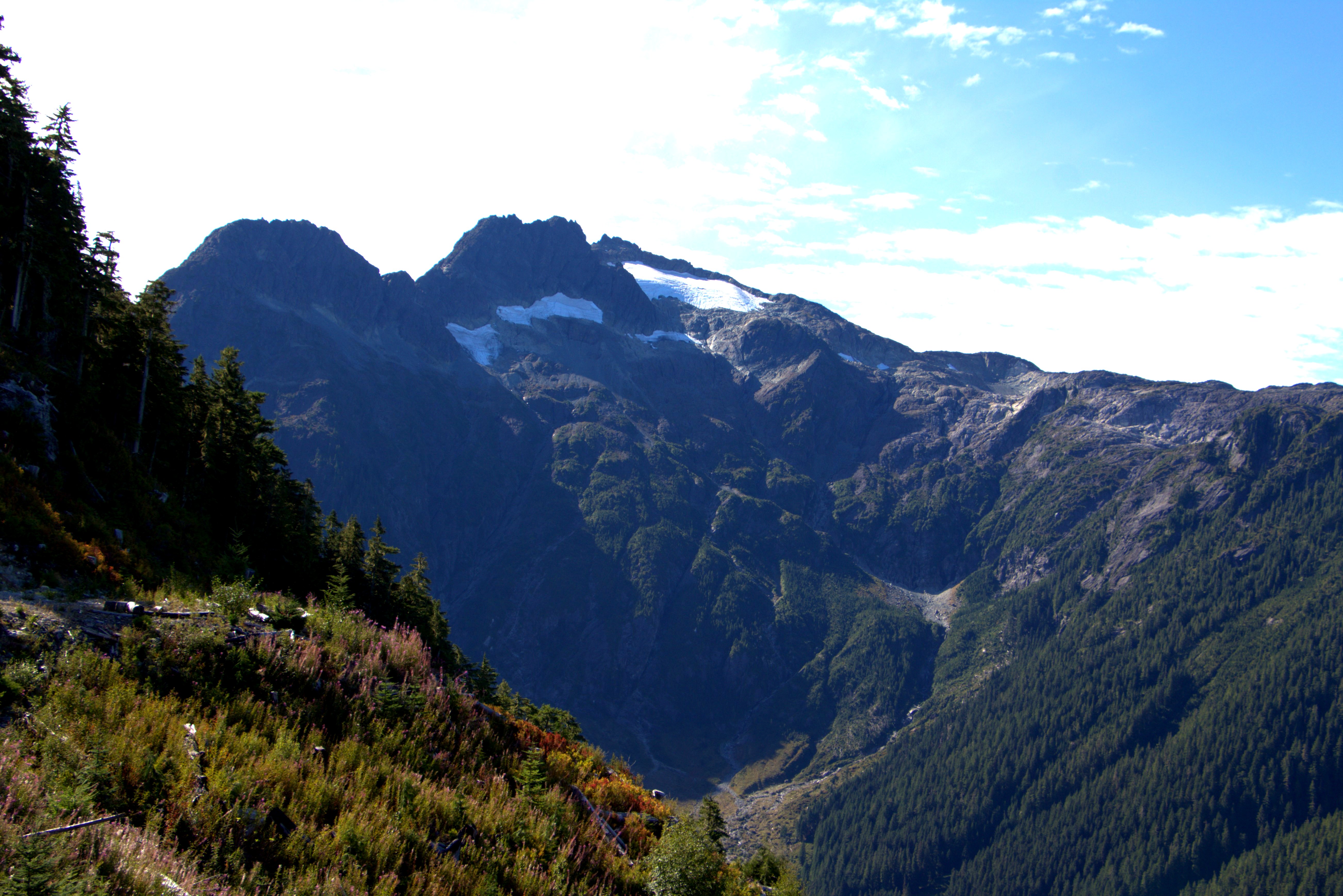
Donner and Kent-Urquhart
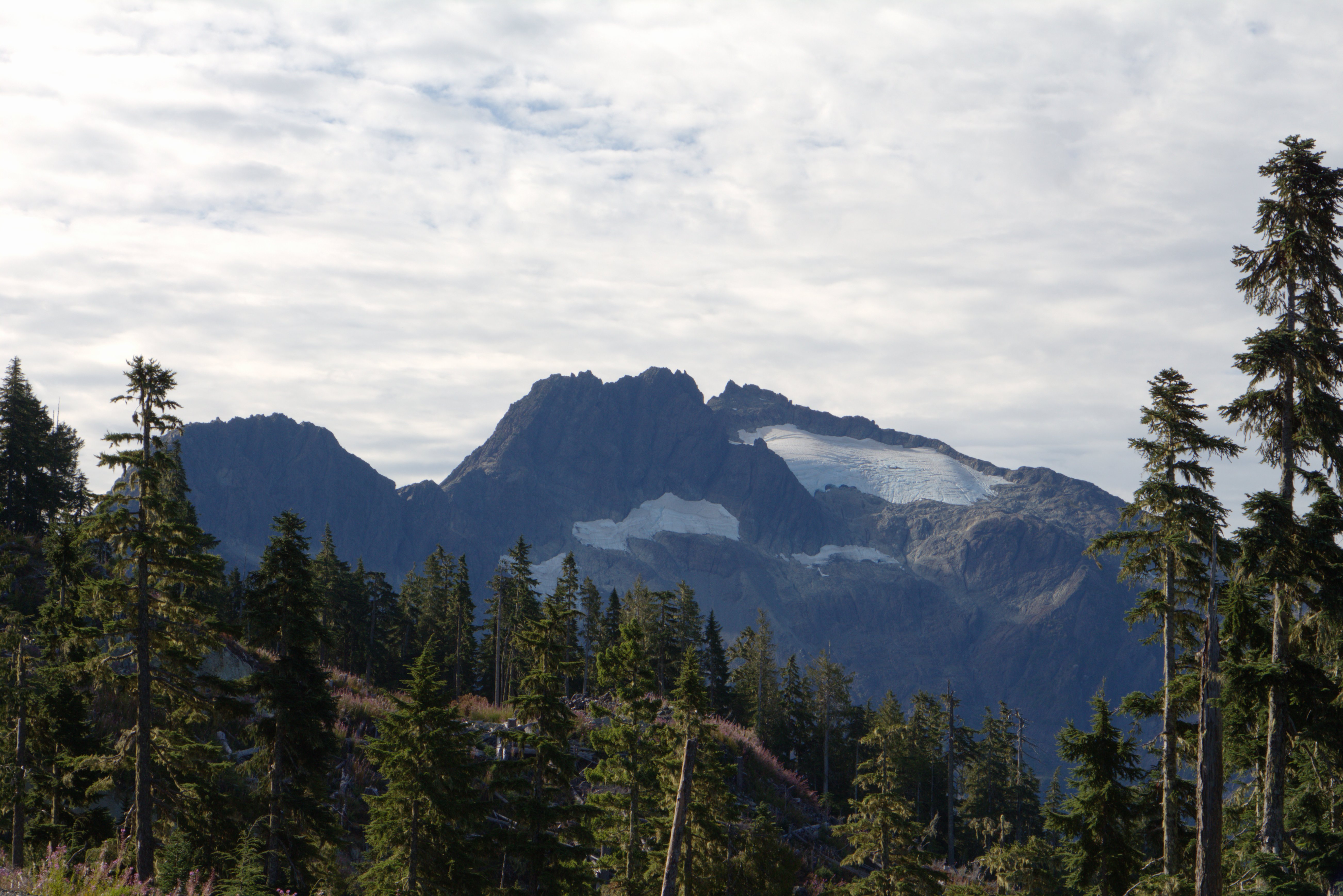
Elkhorn Mountain

gorge from the matchlee drive bridge

gorge from the matchlee drive bridge

gorge from the matchlee drive bridge
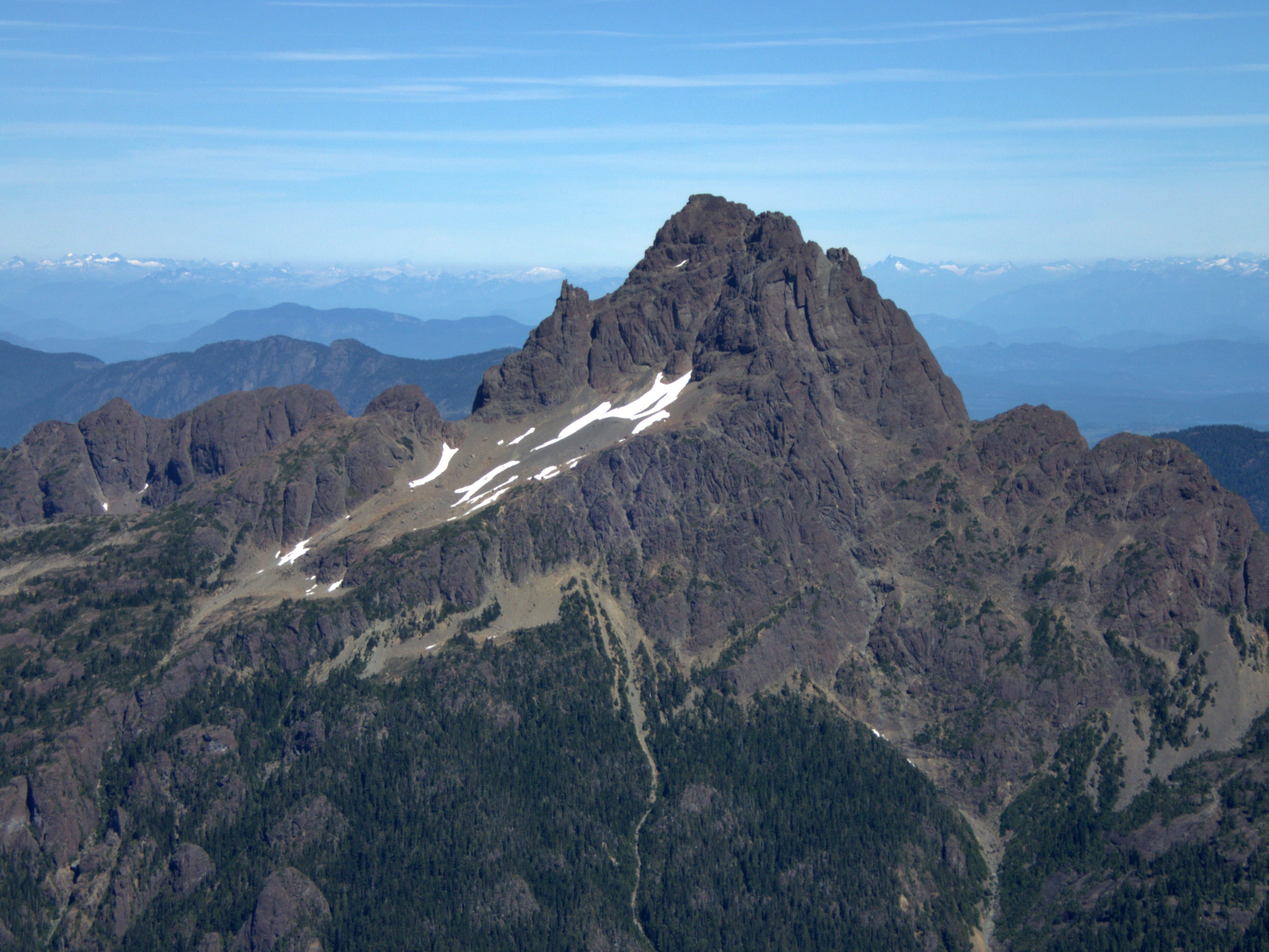
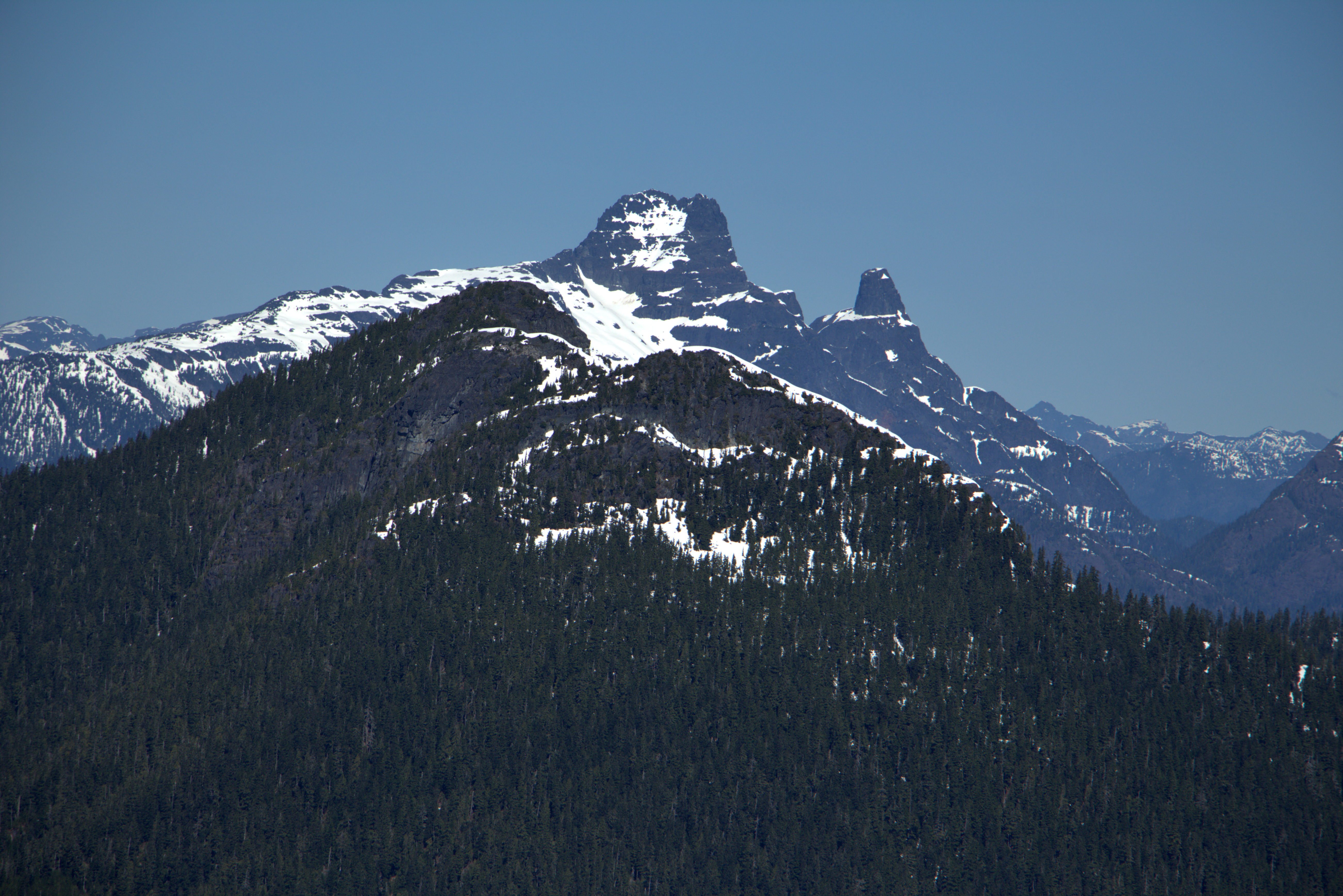
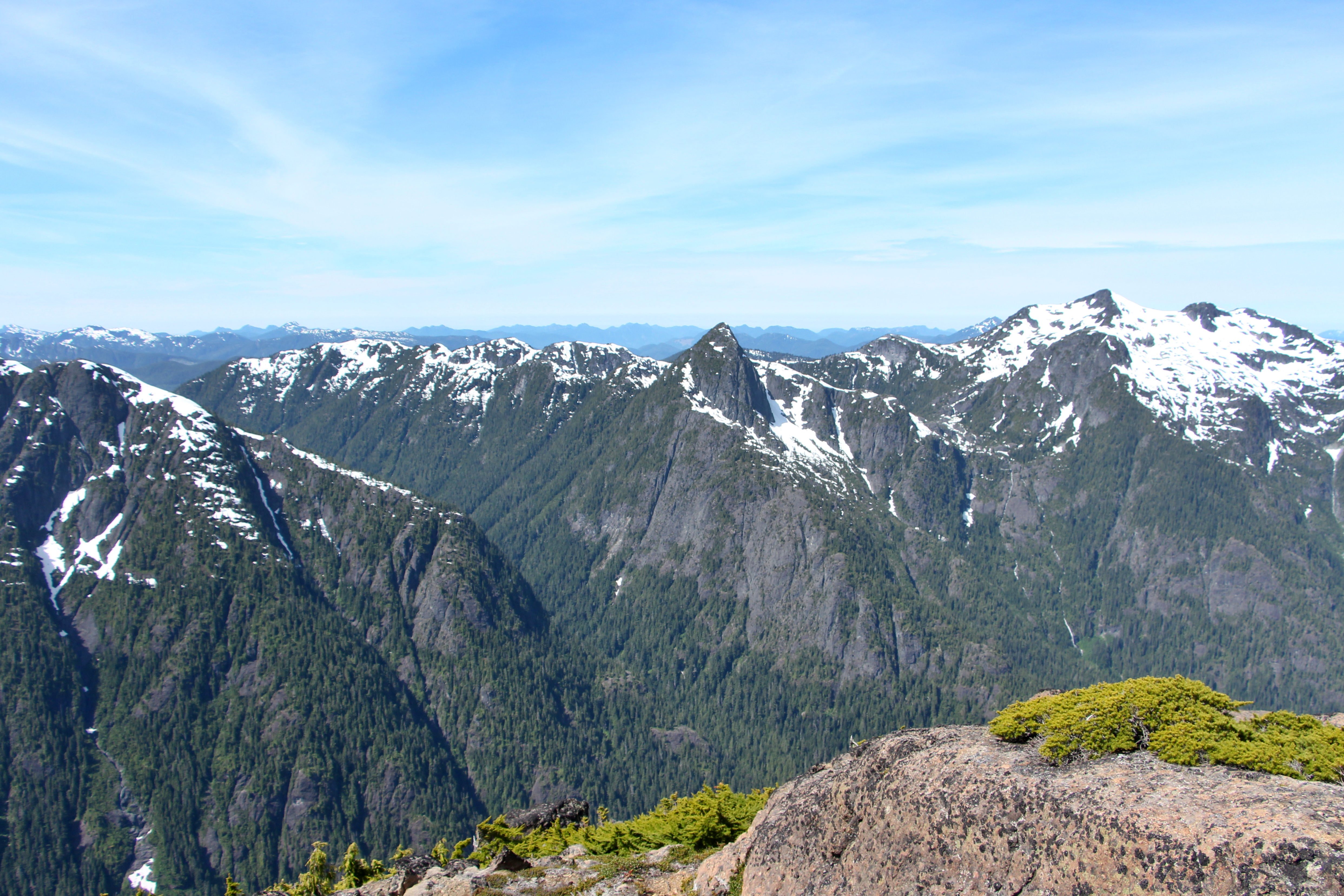
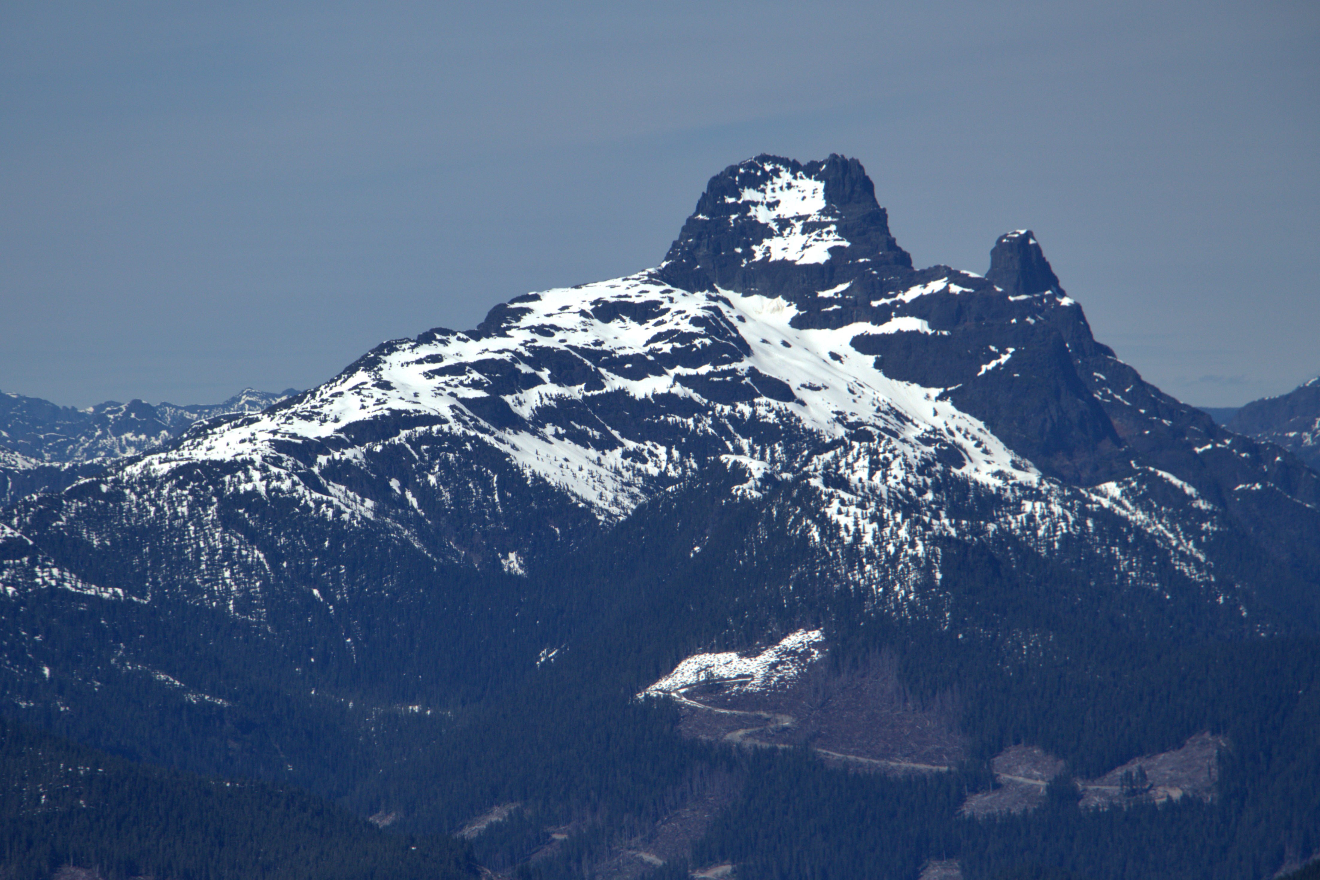
Matchlee Mountain
gorge from the matchlee drive bridge
Matchlee Mountain
Matchlee Mountain
Matchlee Mountain
Looking South
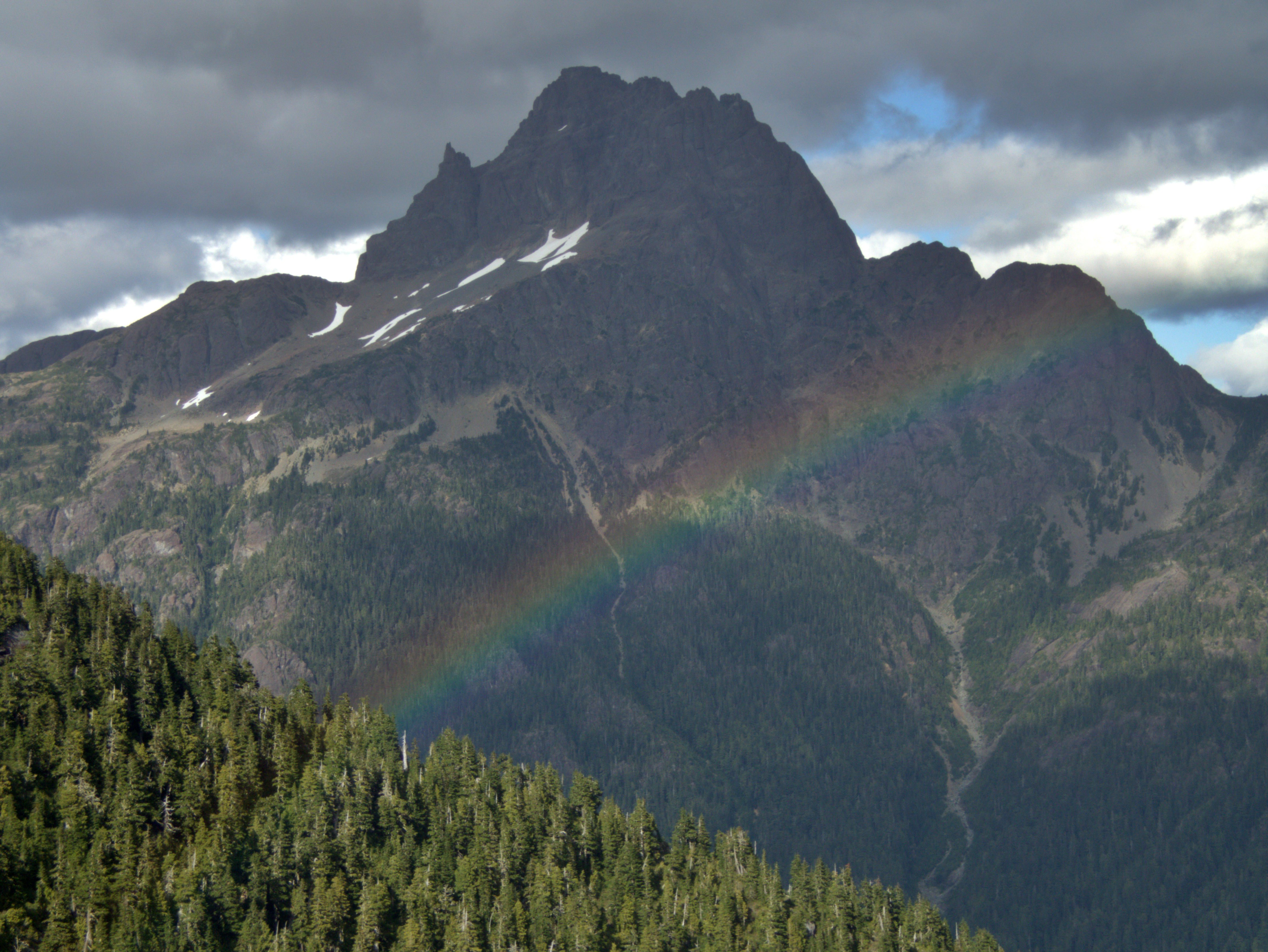
Elkhorn Rainbow
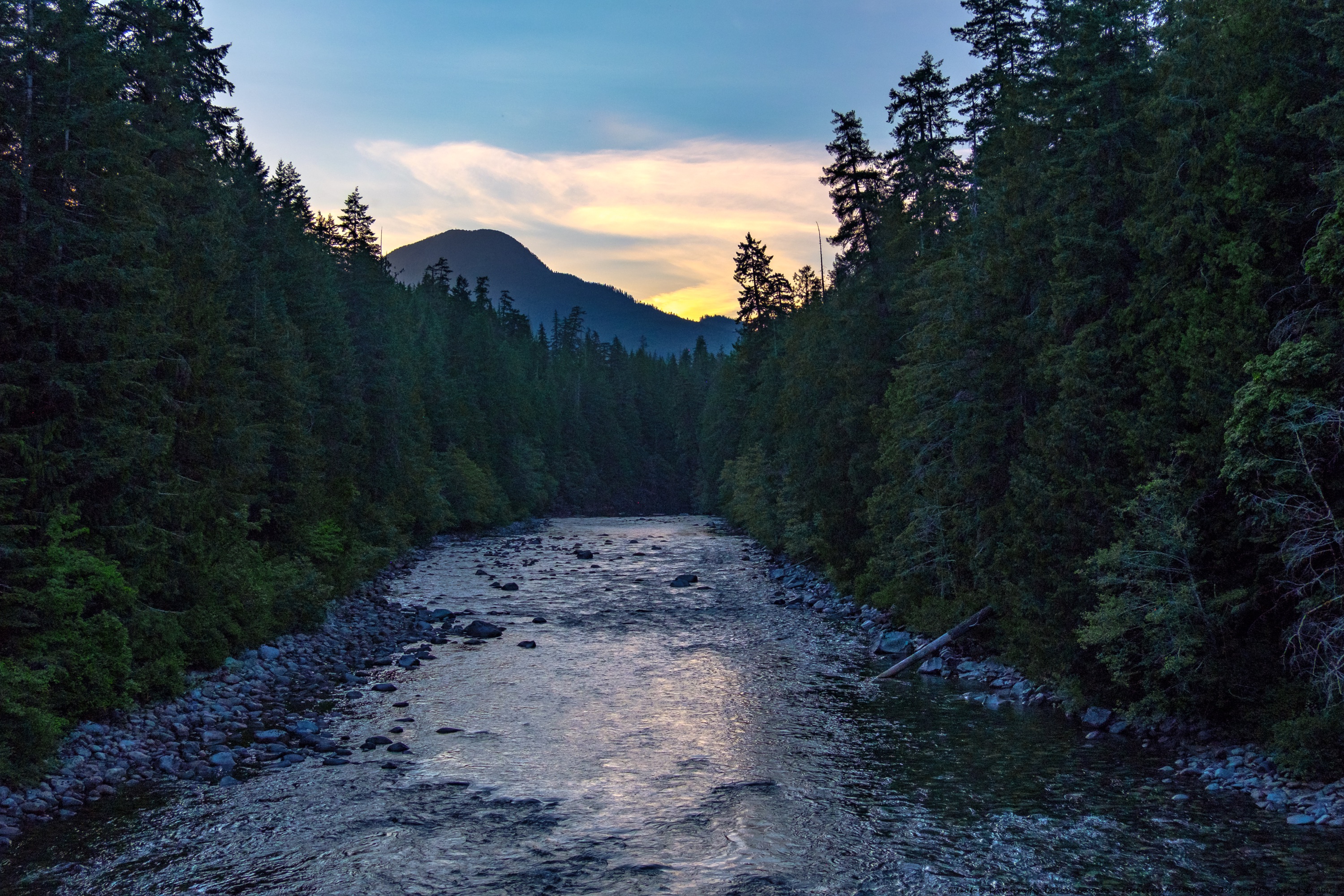
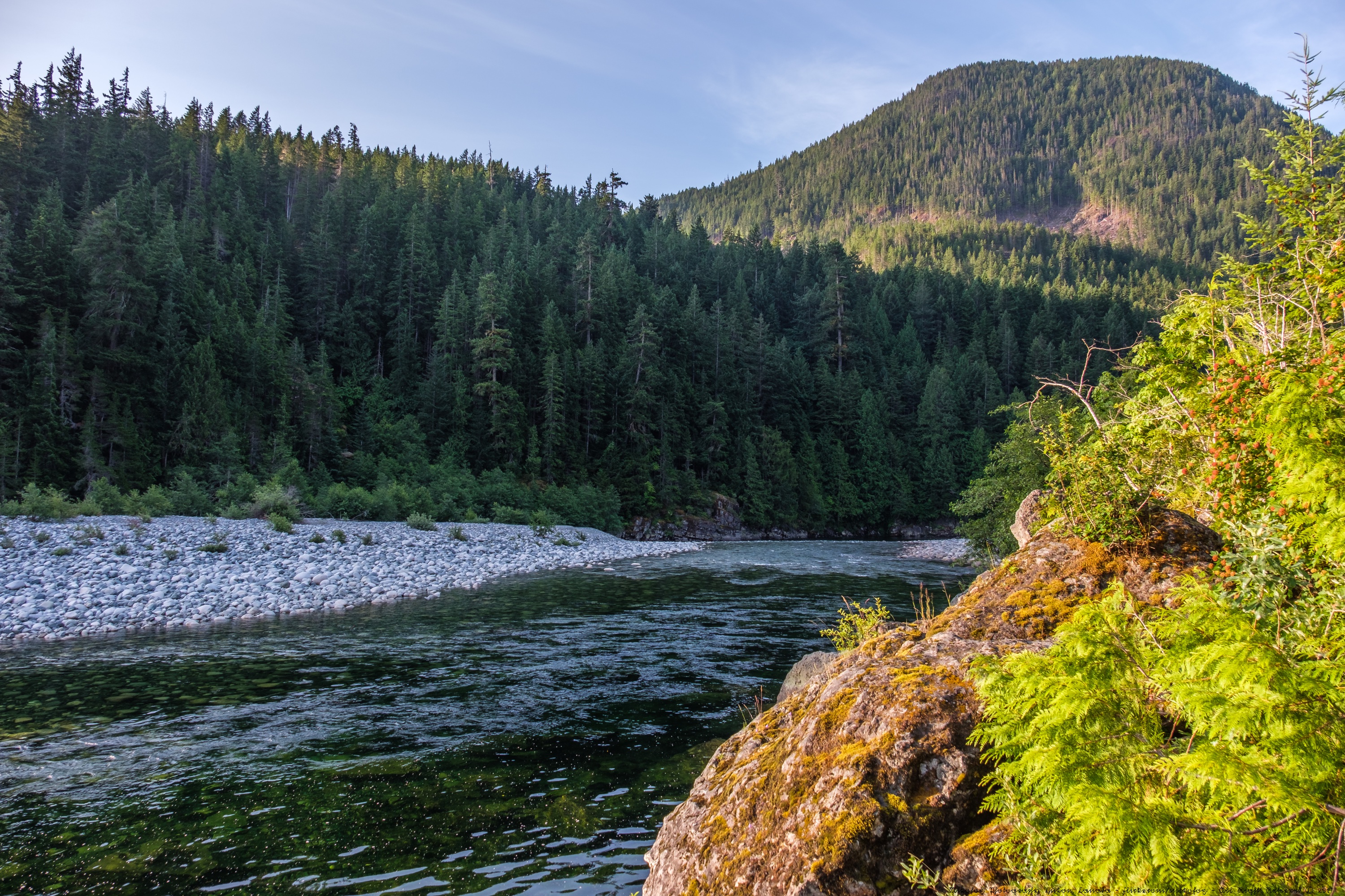
Gold River
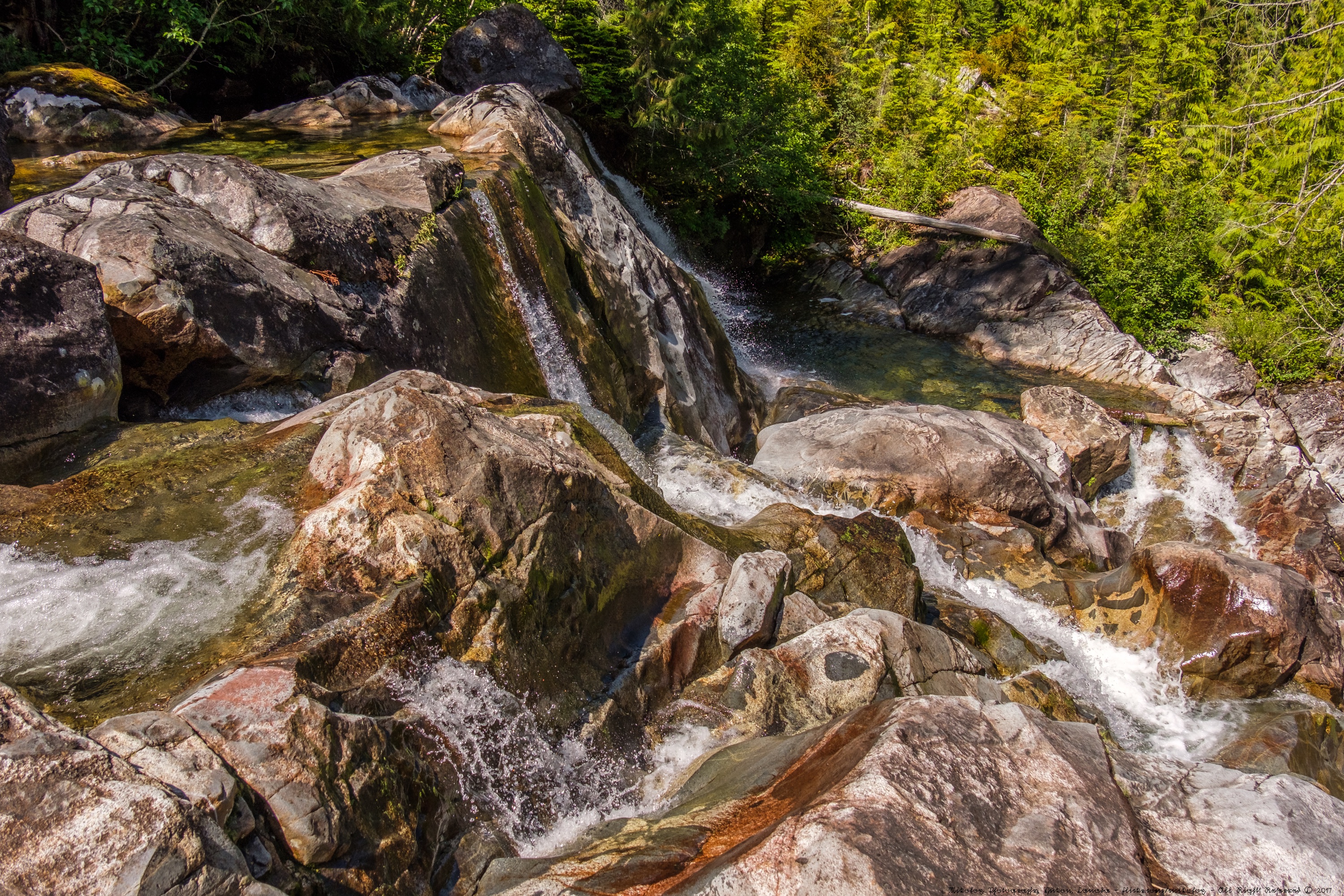
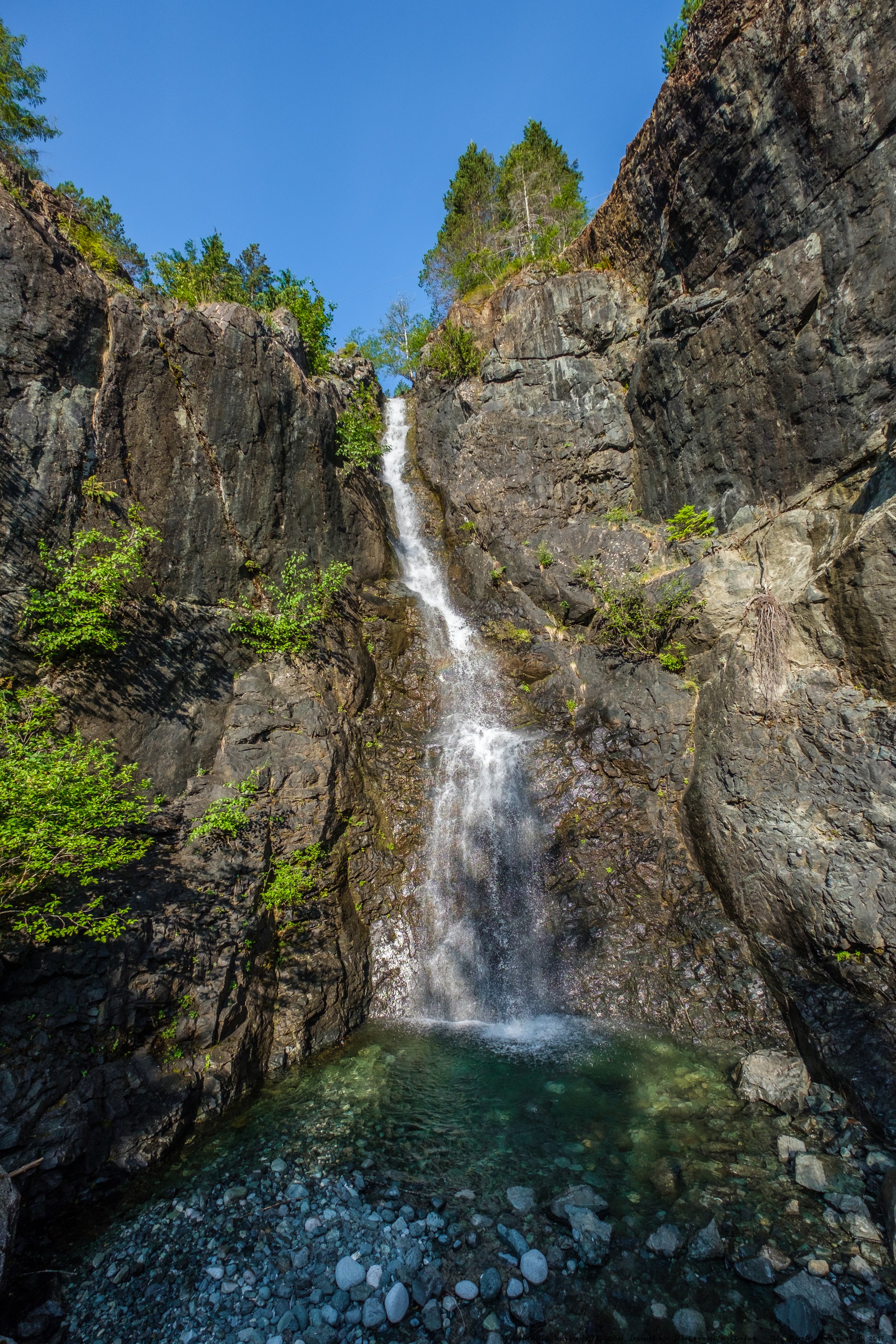
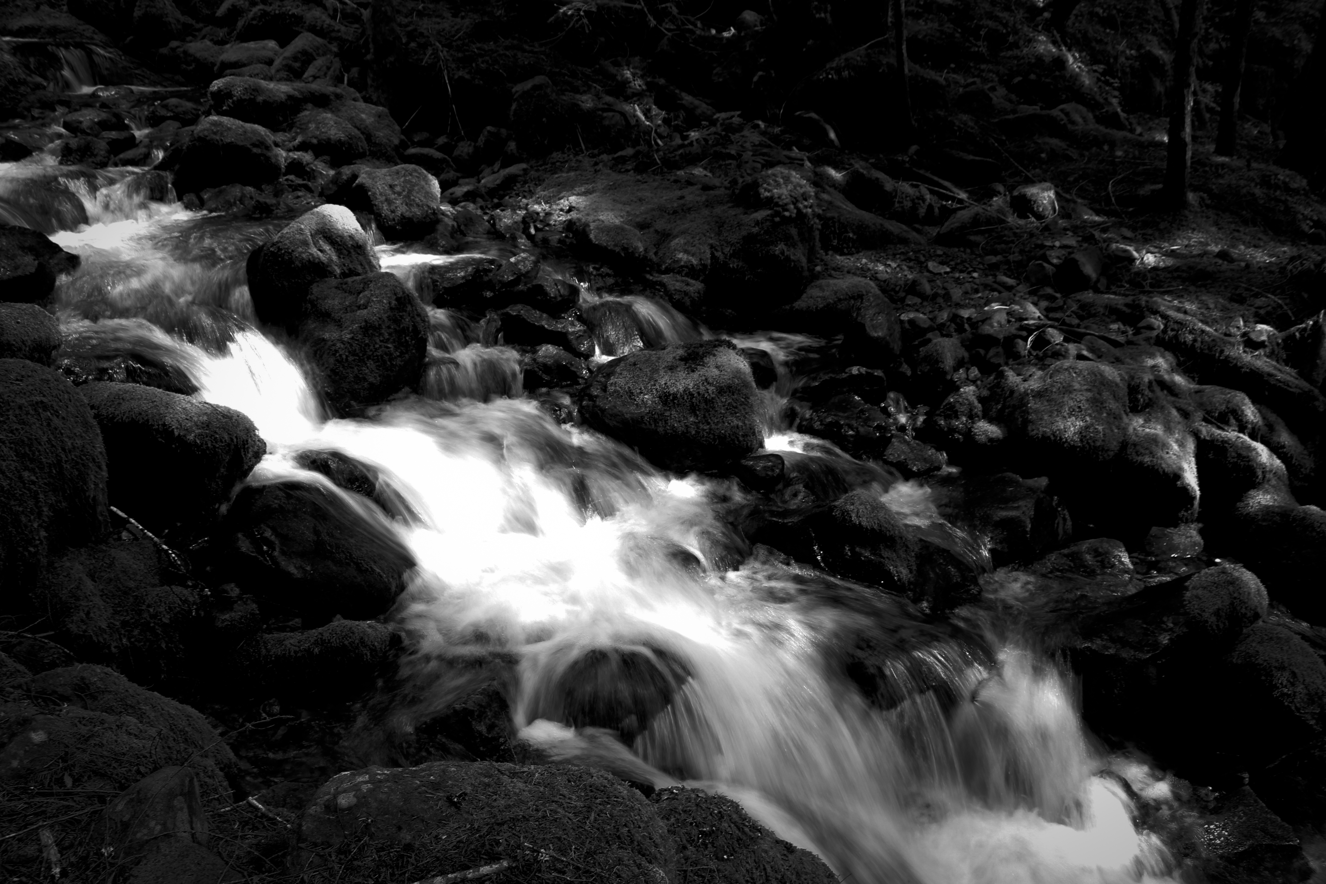
Rock Pools - Cala Falls
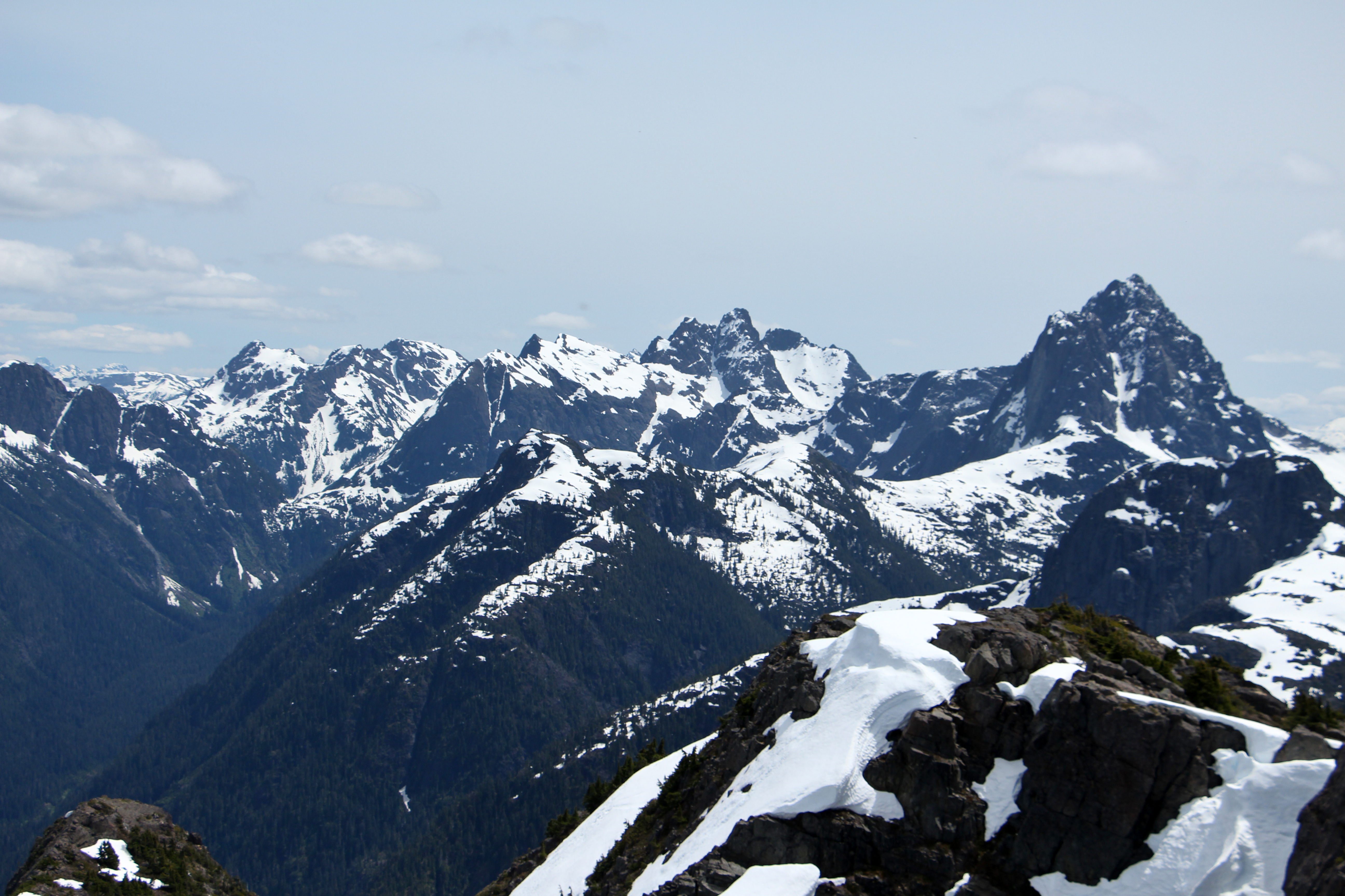
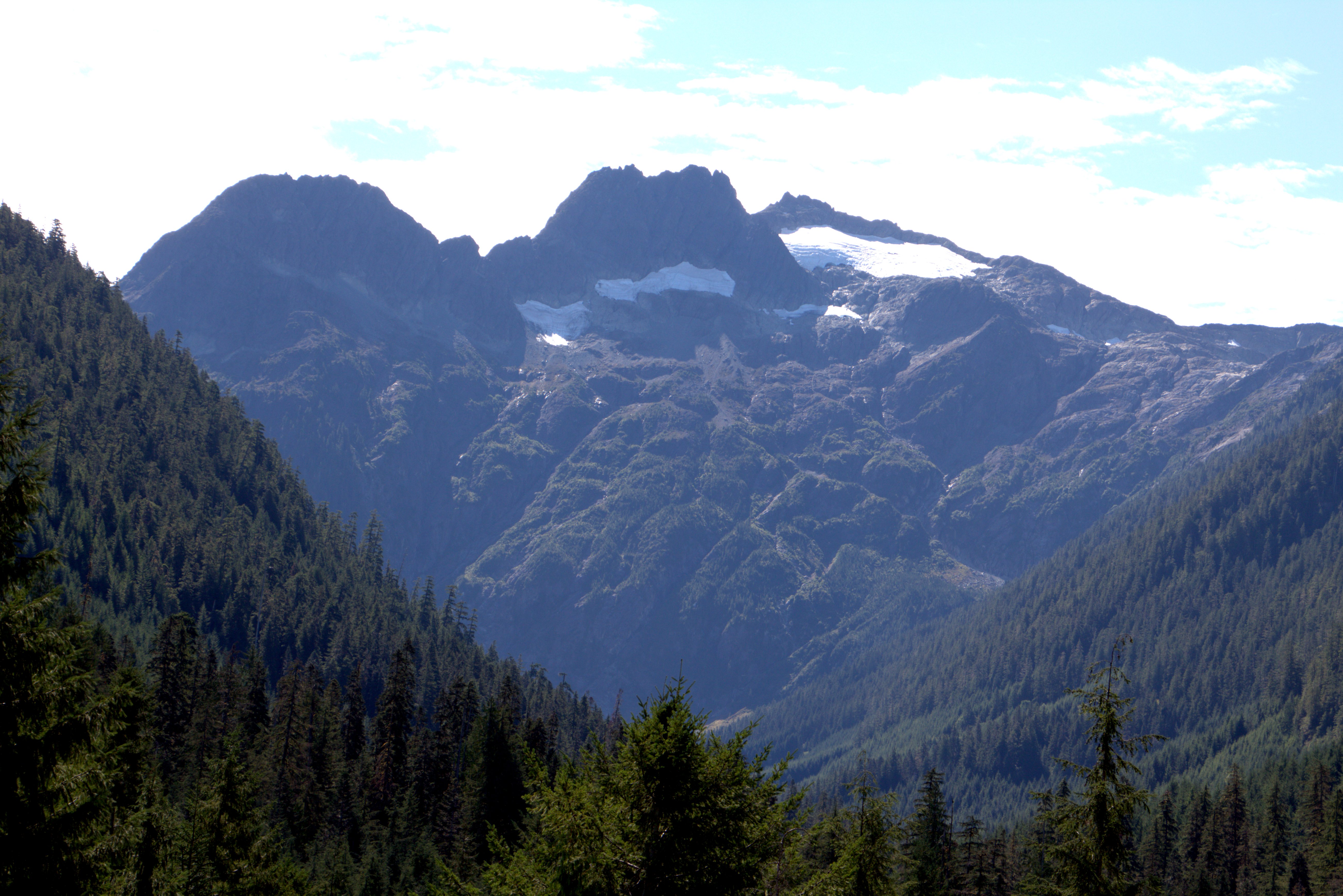
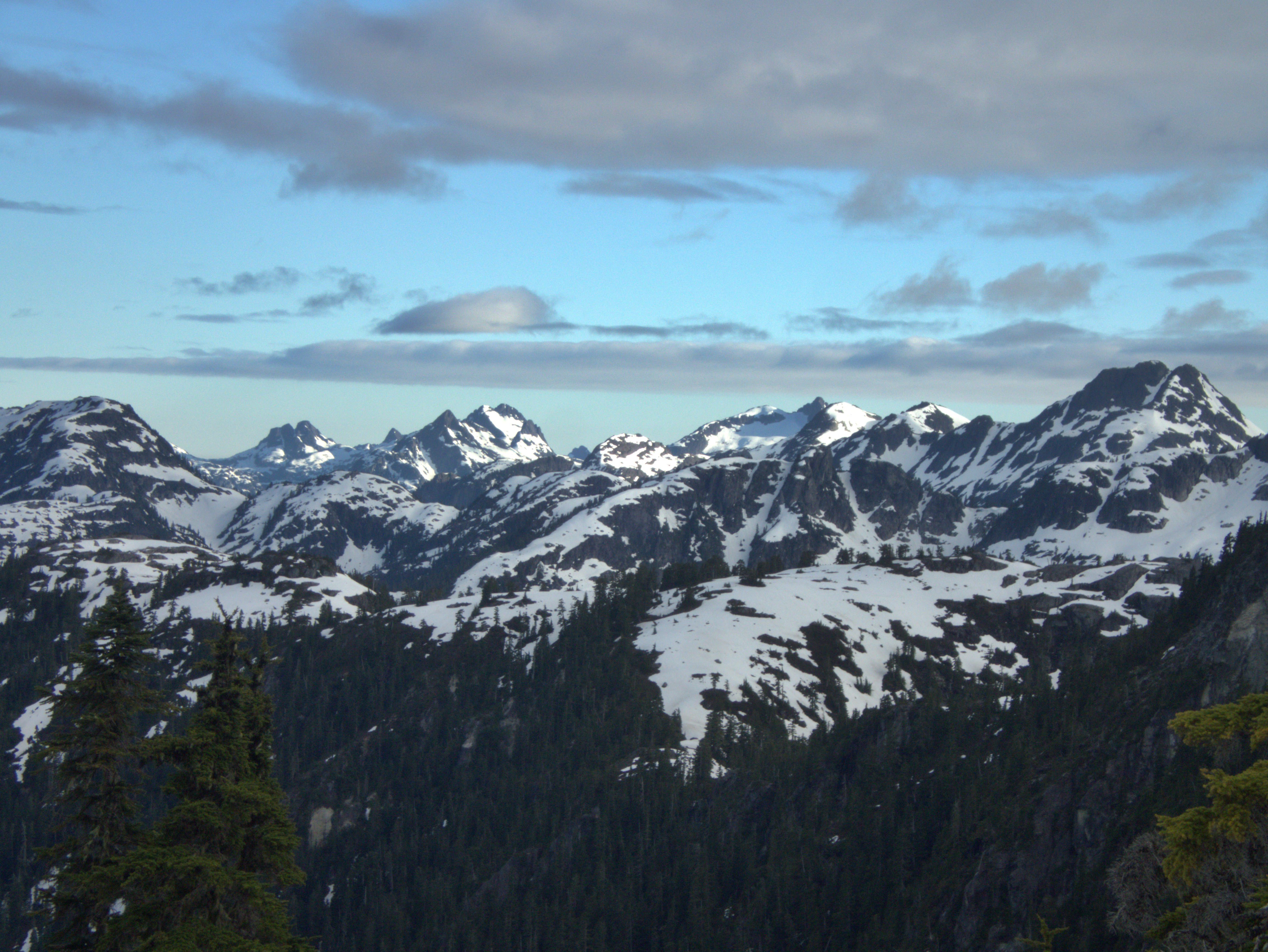
Kings and Elkhorn
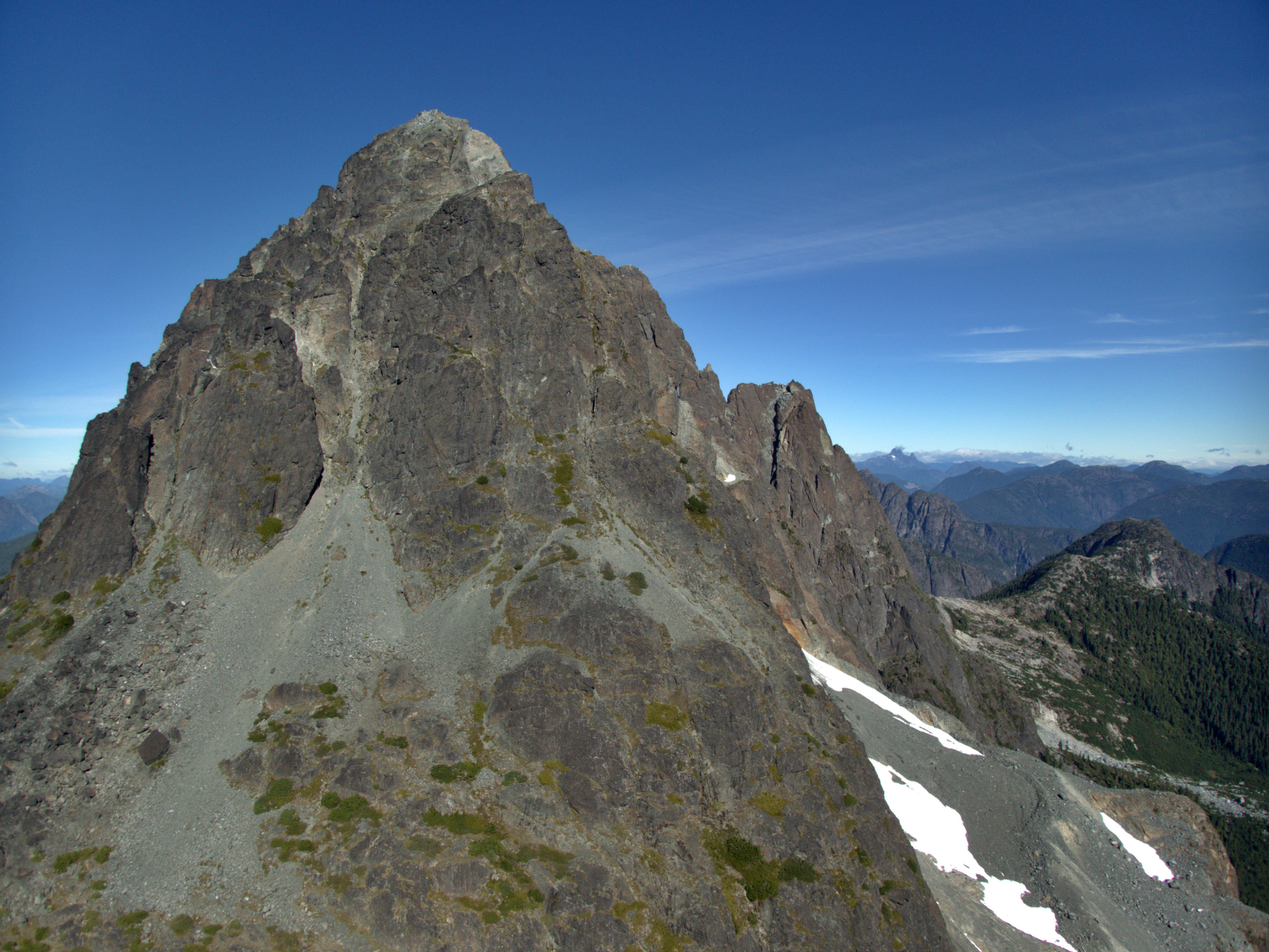
Mount Colonel Foster
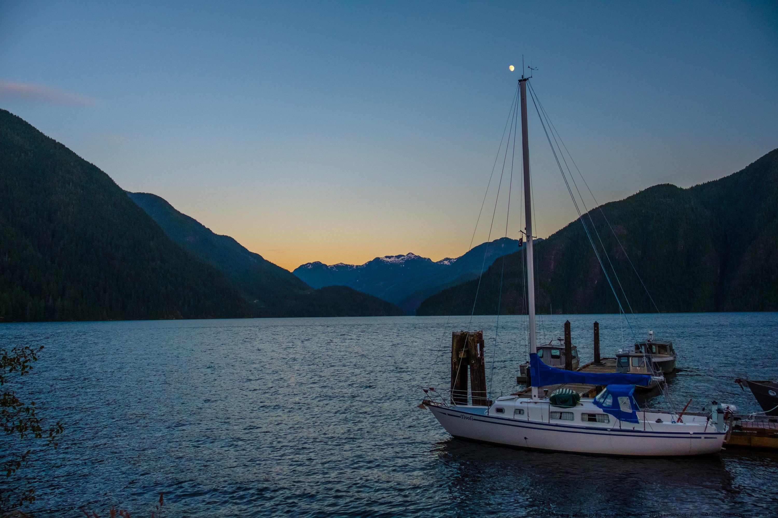
Gold River, Muchalat Inlet, Pierce Range
Victoria and Warden
Gold River Valley
Slocomb Peak
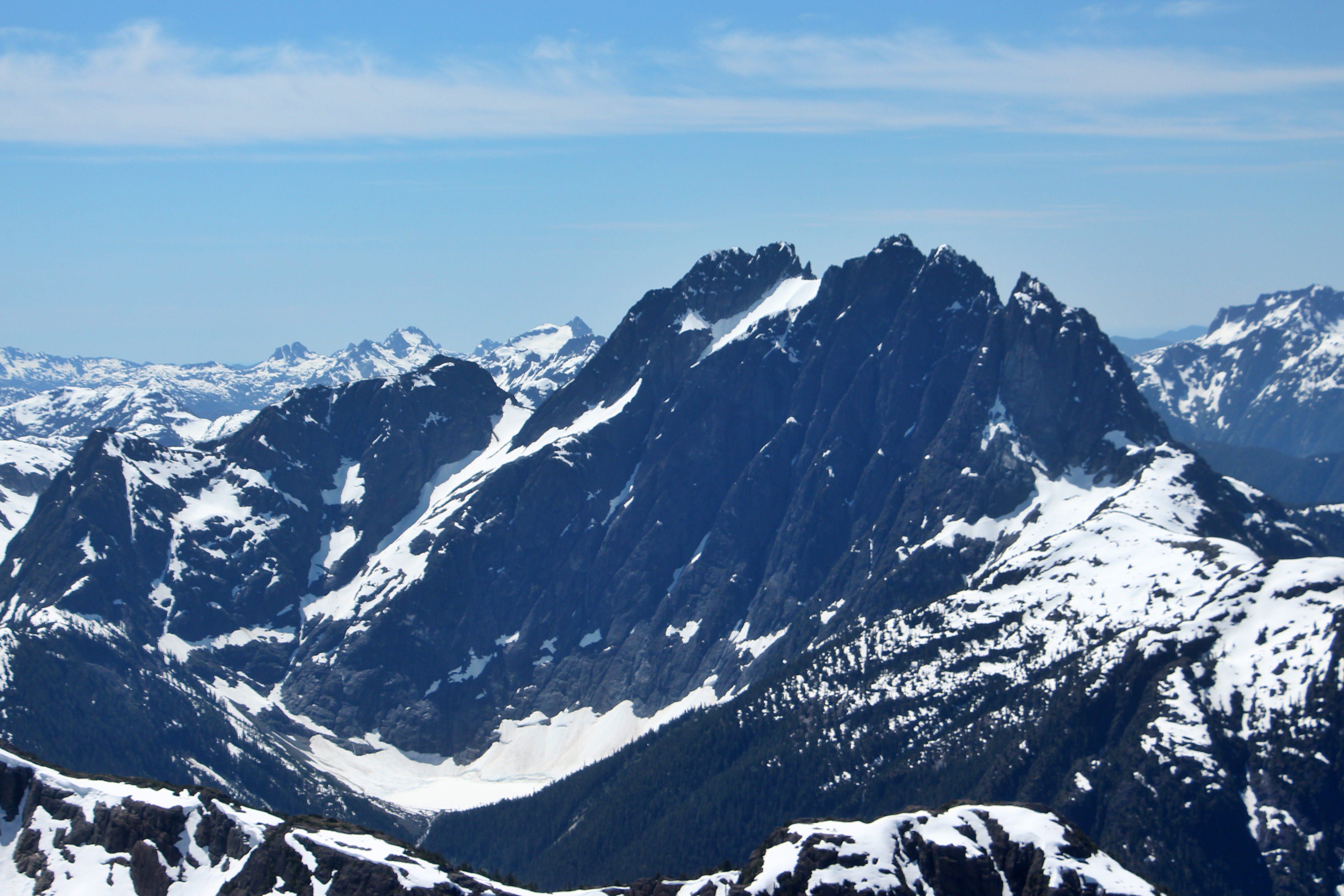
Mount Colonel Foster
Roadside Beauty
Wolf Mountain
Good Morning Gold River
Crest Mt "Water Source"

Mount Colonel Foster
Volcano and Puzzle
Crown Mountain
Victoria and Warden
Topographic Map of Mallard Way, Gold River, BC V0P, Canada
Find elevation by address:

Places near Mallard Way, Gold River, BC V0P, Canada:
600 Nimpkish Dr
Gold River
Golden Hinde
Comox-strathcona G
Comox-strathcona D
Strathcona Provincial Park Headquarters
Elk River Road
Hot Springs Cove
Maquinna Marine Provincial Park
Arnica Lake Trail
Buttle Lake
Alberni-clayoquot C
Ahousat
Lower Myra Falls
Bedwell Trail
Bedwell Lake
Ralph River Campground
Klaklakama Lakes
Sayward
100 Dyer Rd
Recent Searches:
- Elevation of 6 Rue Jules Ferry, Beausoleil, France
- Elevation of Sattva Horizon, 4JC6+G9P, Vinayak Nagar, Kattigenahalli, Bengaluru, Karnataka, India
- Elevation of Great Brook Sports, Gold Star Hwy, Groton, CT, USA
- Elevation of 10 Mountain Laurels Dr, Nashua, NH, USA
- Elevation of 16 Gilboa Ln, Nashua, NH, USA
- Elevation of Laurel Rd, Townsend, TN, USA
- Elevation of 3 Nestling Wood Dr, Long Valley, NJ, USA
- Elevation of Ilungu, Tanzania
- Elevation of Yellow Springs Road, Yellow Springs Rd, Chester Springs, PA, USA
- Elevation of Rēzekne Municipality, Latvia