Elevation of Garibaldi Peaks, Comox-Strathcona G, BC V0N, Canada
Location: Canada > British Columbia > Strathcona > Comox-strathcona G >
Longitude: -127.22472
Latitude: 50.1866666
Elevation: 1228m / 4029feet
Barometric Pressure: 87KPa
Elevation Map:
Satellite Map:
Related Photos:
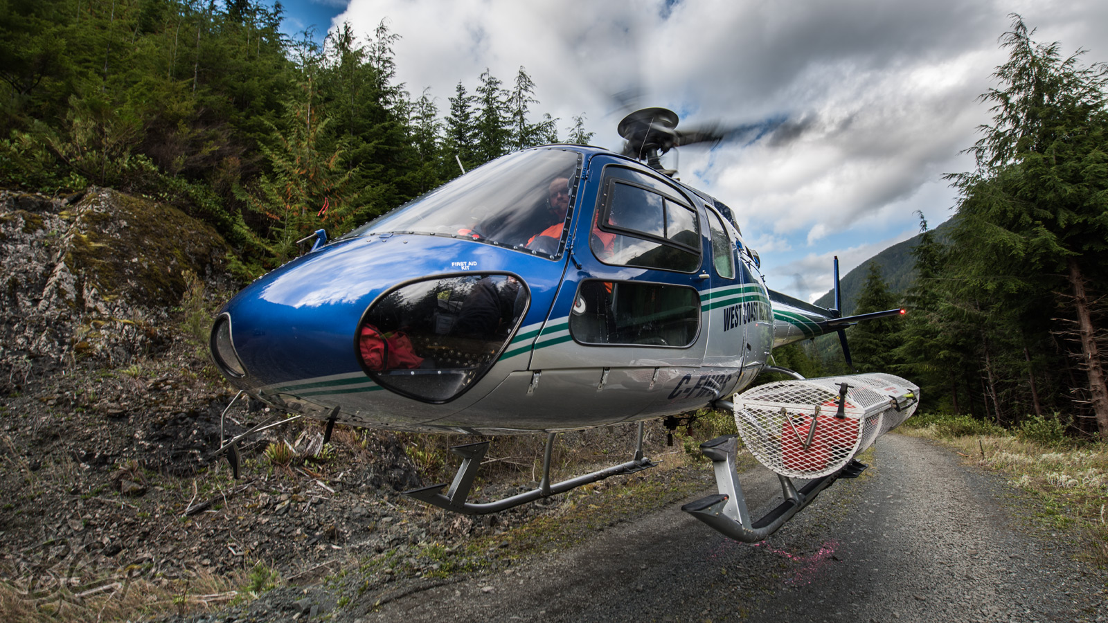
C-FWCS - West Coast Helicopters - Aerospatiale AS350B AStar
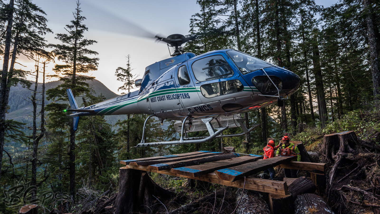
C-FWCS - West Coast Helicopters - Aerospatiale AS350B AStar
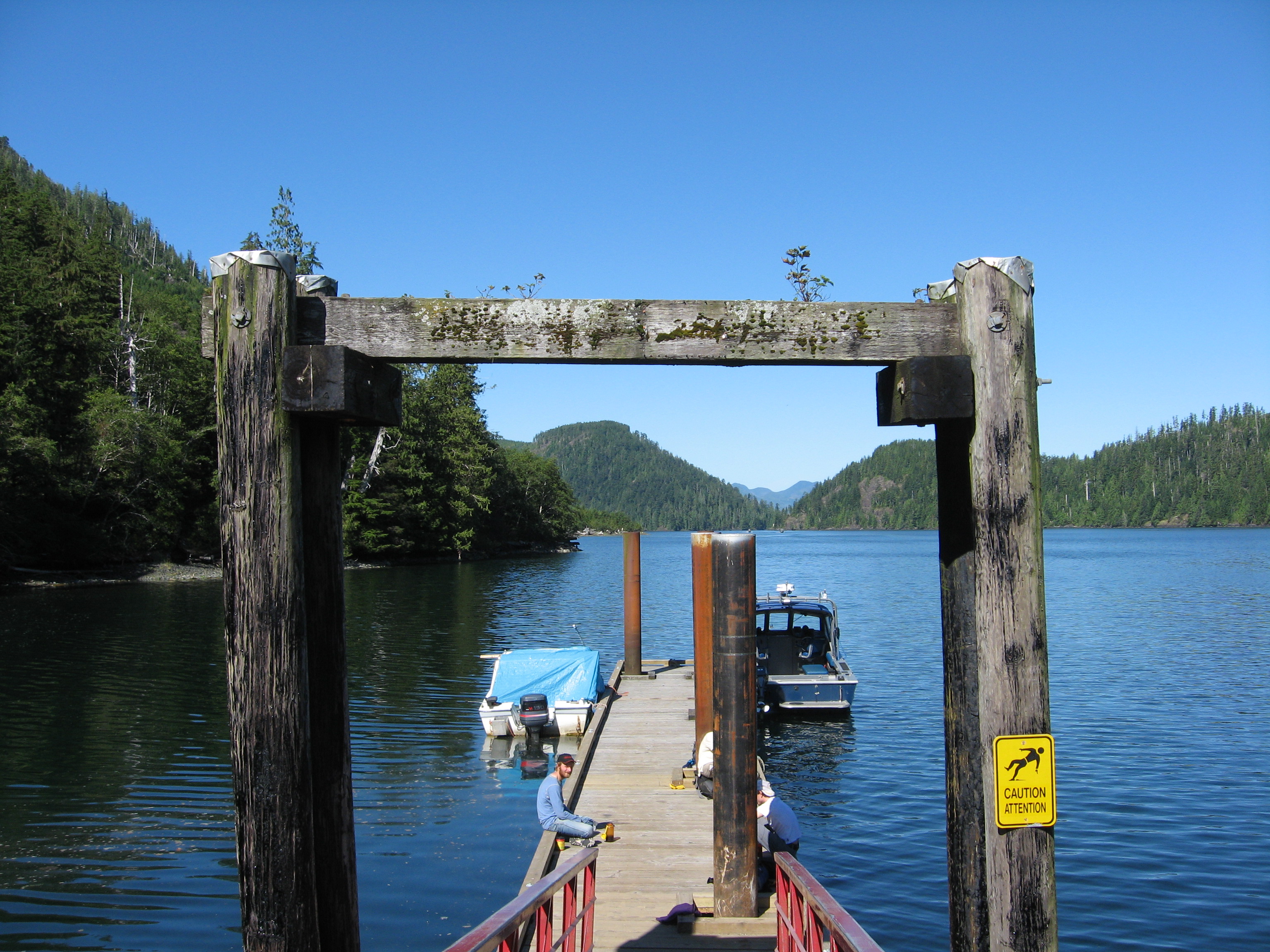
Fair Harbour
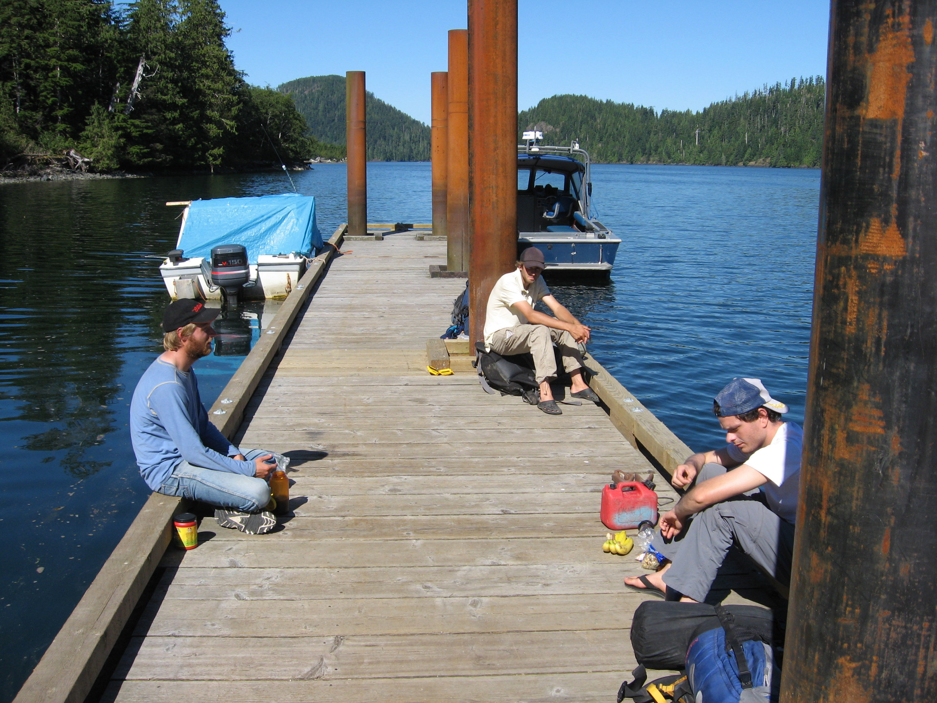
Docks at Fair Harbour
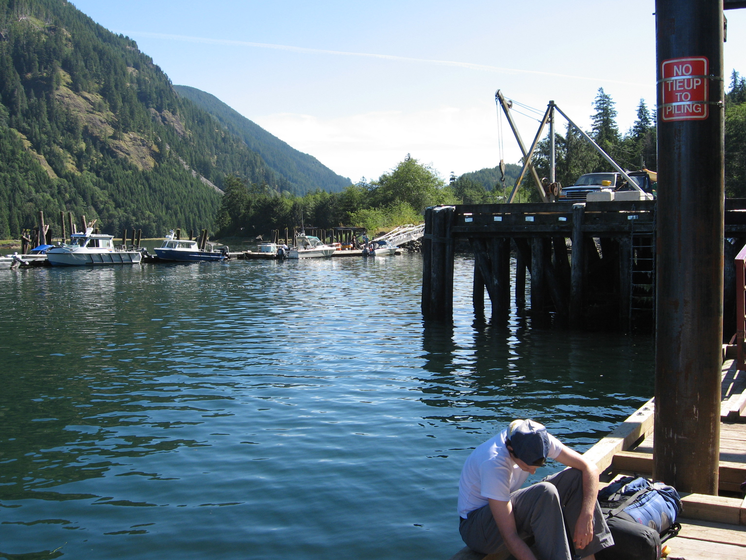
Waiting for water taxi
Topographic Map of Garibaldi Peaks, Comox-Strathcona G, BC V0N, Canada
Find elevation by address:

Places near Garibaldi Peaks, Comox-Strathcona G, BC V0N, Canada:
V0p 1j0
Anvil Peak
Nimpkish Lake Provincial Park
Little Huson Caves Parking Lot
Cayuse Creek
Mount Waddington C
Strathcona
Mine Rd, Port McNeill, BC V0N 2R0, Canada
Broughton Strait Campsite
Port Mcneill
Zeballos
Broughton Strait
Alder Bay Rv Park & Marina
Alert Bay
Telegraph Cove Rd, Telegraph Cove, BC V0N 3J0, Canada
Stubbs Island Whale Watching
Telegraph Cove Campground
7 Cain Dr
17 Klaklakama Ave
Woss
Recent Searches:
- Elevation of Elwyn Dr, Roanoke Rapids, NC, USA
- Elevation of Congressional Dr, Stevensville, MD, USA
- Elevation of Bellview Rd, McLean, VA, USA
- Elevation of Stage Island Rd, Chatham, MA, USA
- Elevation of Shibuya Scramble Crossing, 21 Udagawacho, Shibuya City, Tokyo -, Japan
- Elevation of Jadagoniai, Kaunas District Municipality, Lithuania
- Elevation of Pagonija rock, Kranto 7-oji g. 8"N, Kaunas, Lithuania
- Elevation of Co Rd 87, Jamestown, CO, USA
- Elevation of Tenjo, Cundinamarca, Colombia
- Elevation of Côte-des-Neiges, Montreal, QC H4A 3J6, Canada