Elevation of Comins Township, MI, USA
Location: United States > Michigan > Oscoda County >
Longitude: -83.995587
Latitude: 44.7116622
Elevation: 376m / 1234feet
Barometric Pressure: 97KPa
Elevation Map:
Satellite Map:
Related Photos:

Van Luven Rd. - 05

Bull Gap, Mio, Michigan

Camp Road Near Crosscut Lodge

Au Sable River

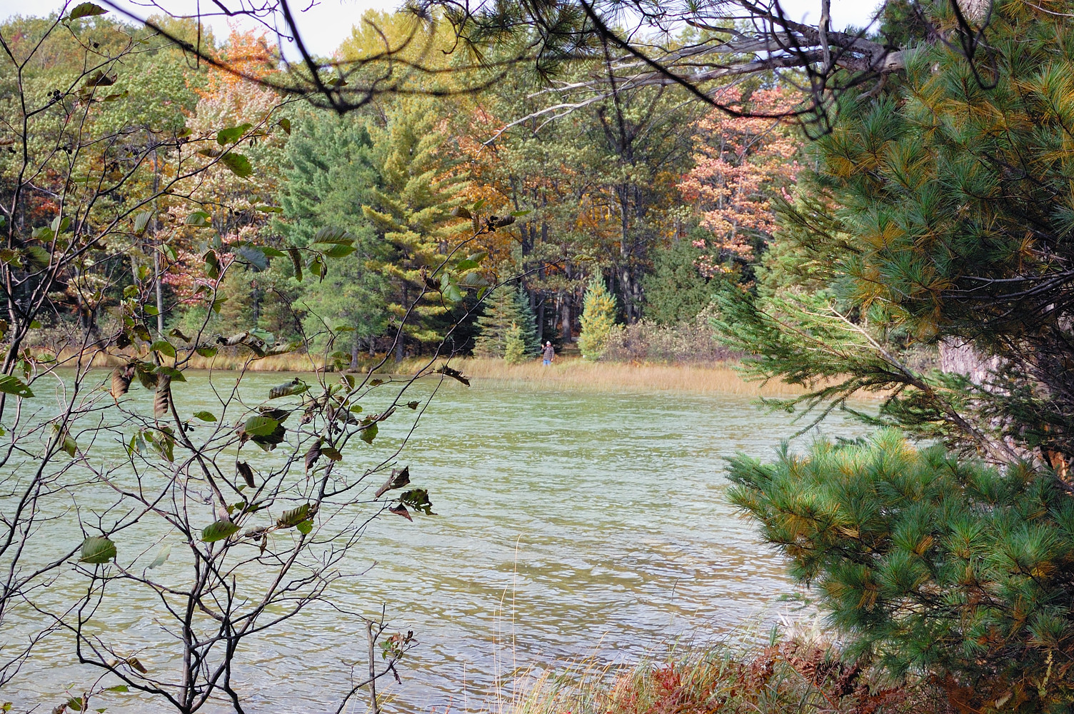
North Woods Ablaze in Color
North End of Shear Lake

Walking Trail

The Au Sable on the 4th

Good morning from #BarakelMens Retreat.

20041201-12
Topographic Map of Comins Township, MI, USA
Find elevation by address:

Places near Comins Township, MI, USA:
Fairview, MI, USA
Fairview
Kauffman Rd, Fairview, MI, USA
2593 N Abbe Rd
2593 N Abbe Rd
2764 N Abbe Rd
1576 N Perry Creek Rd
Mio
1003 10th St
Curran
Oscoda County
1111 Mayhew Rd
Big Creek Township
Avery Township
Rose Township
West Cherry Creek Road
5938 Union Corners Rd
Lupton
Millen Township
1804 Deeter Rd
Recent Searches:
- Elevation of Erika Dr, Windsor, CA, USA
- Elevation of Village Ln, Finleyville, PA, USA
- Elevation of 24 Oakland Rd #, Scotland, ON N0E 1R0, Canada
- Elevation of Deep Gap Farm Rd E, Mill Spring, NC, USA
- Elevation of Dog Leg Dr, Minden, NV, USA
- Elevation of Dog Leg Dr, Minden, NV, USA
- Elevation of Kambingan Sa Pansol Atbp., Purok 7 Pansol, Candaba, Pampanga, Philippines
- Elevation of Pinewood Dr, New Bern, NC, USA
- Elevation of Mountain View, CA, USA
- Elevation of Foligno, Province of Perugia, Italy