Elevation of Oscoda County, MI, USA
Location: United States > Michigan >
Longitude: -84.185711
Latitude: 44.6278903
Elevation: 361m / 1184feet
Barometric Pressure: 97KPa
Elevation Map:
Satellite Map:
Related Photos:
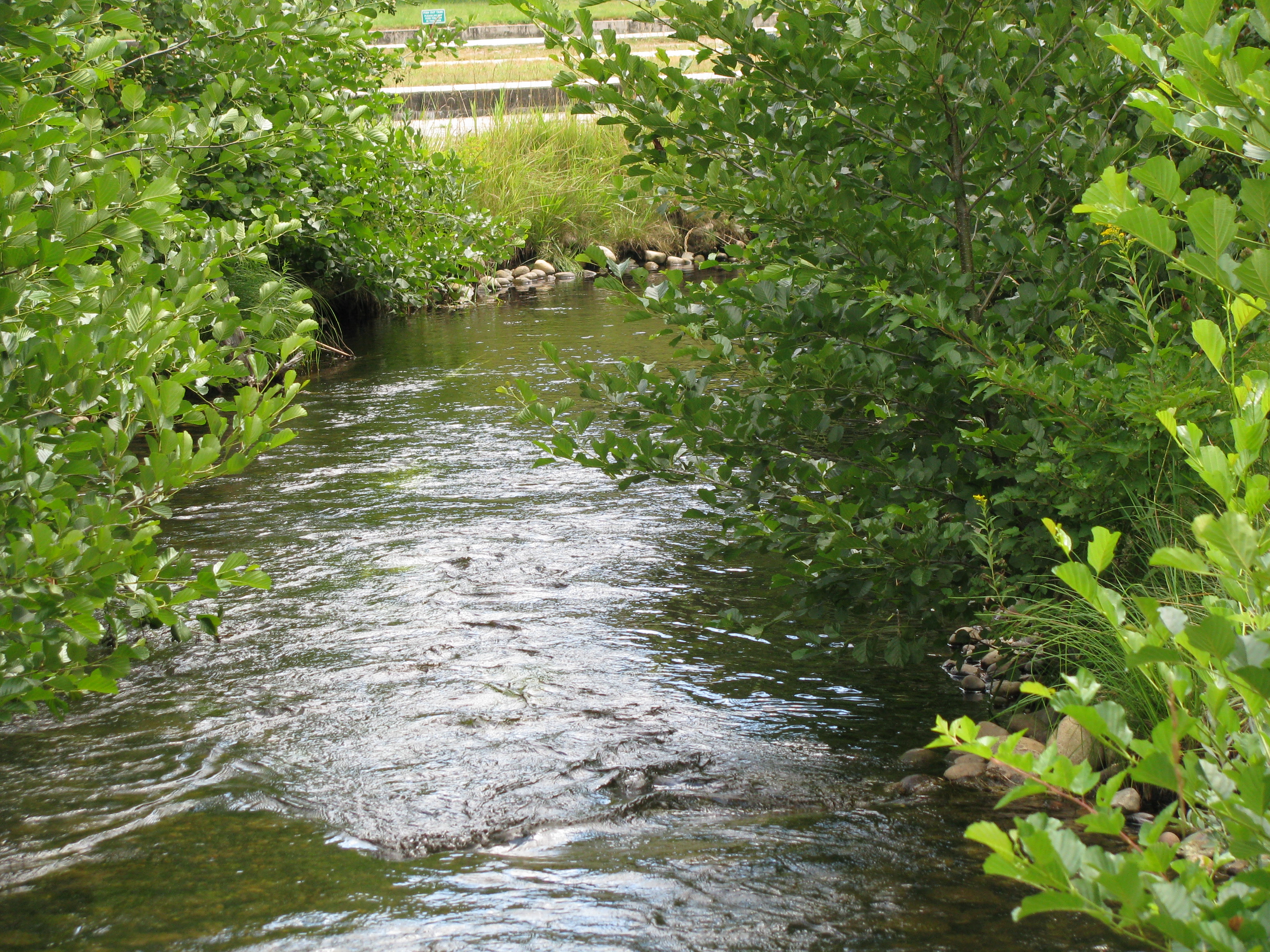
Luzerne Boarwalk
Luzerne Boardwalk
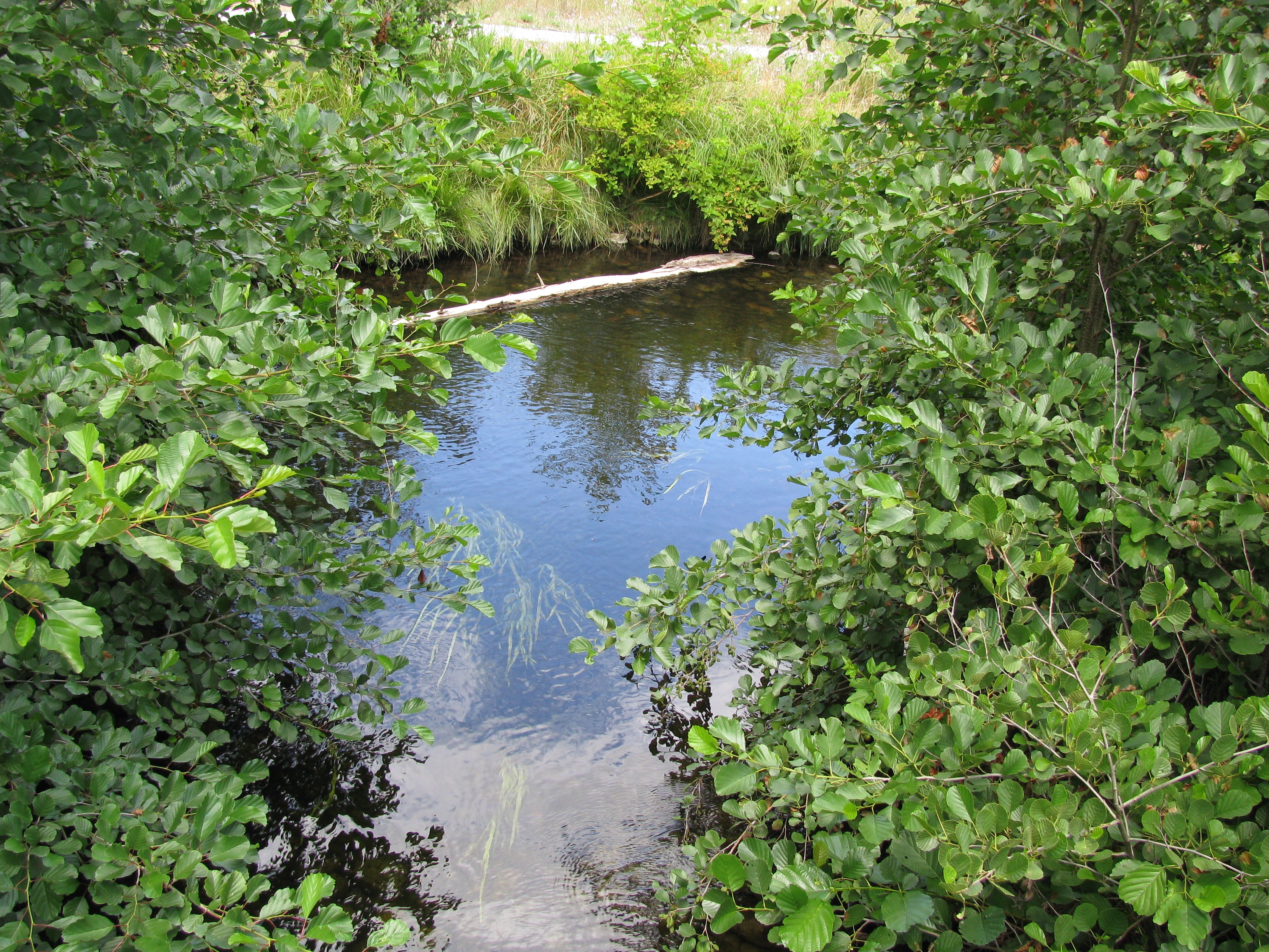
Big Creek (new view)
Luzerne Boardwalk

Kirtland's Warbler,
Bull Gap, Mio, Michigan

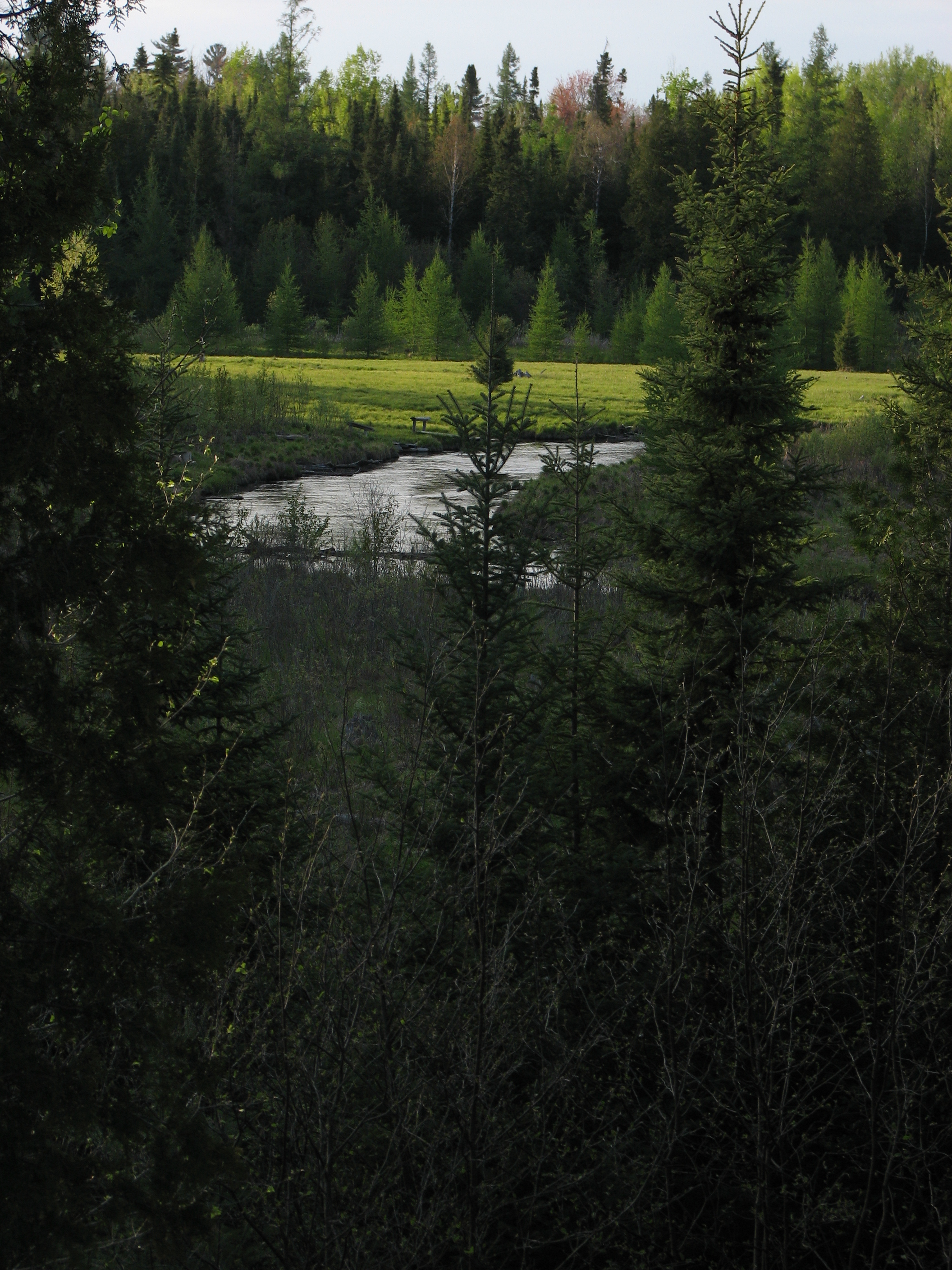
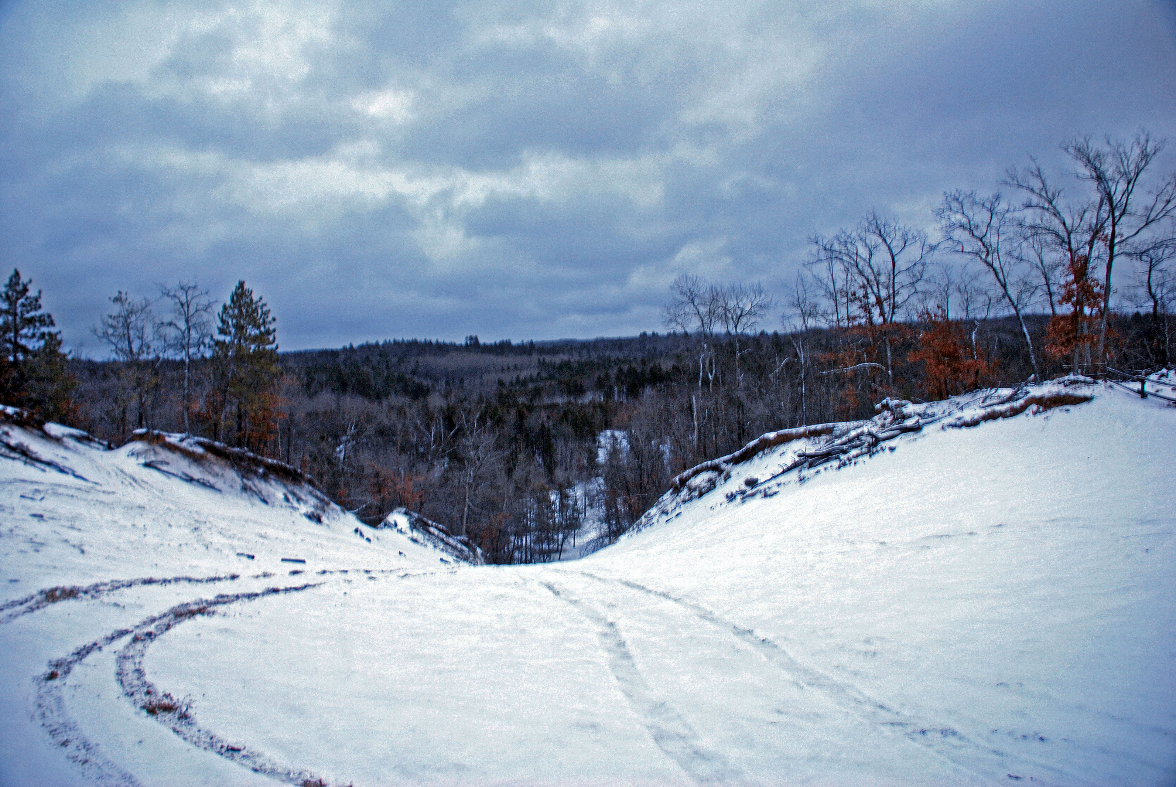
Au Sable River
Van Luven Rd. - 05

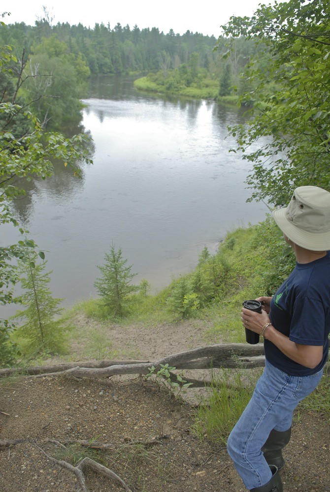
The Au Sable on the 4th

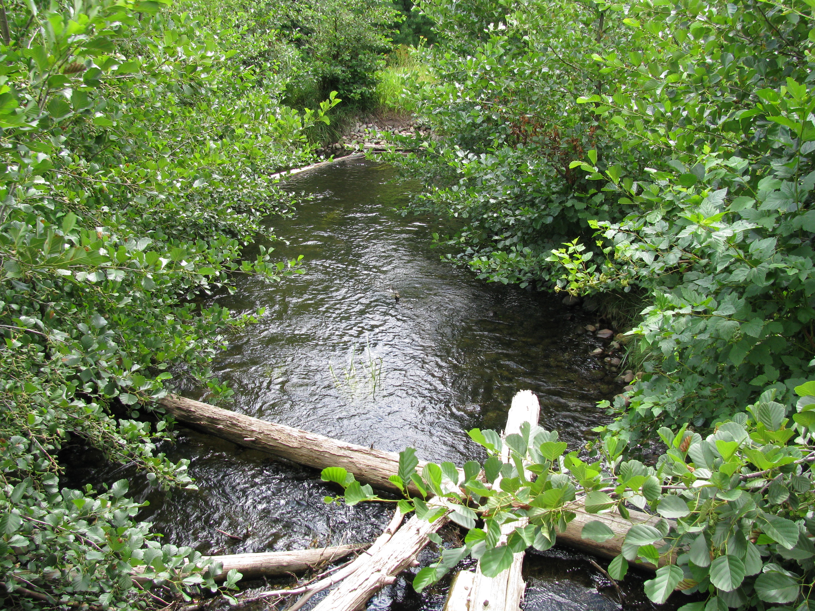
Au Sable up from Commins Flat
Topographic Map of Oscoda County, MI, USA
Find elevation by address:

Places in Oscoda County, MI, USA:
Places near Oscoda County, MI, USA:
1003 10th St
Big Creek Township
Mio
2301 Royce Ave
2301 Royce Ave
1804 Deeter Rd
Luzerne
West Cherry Creek Road
5938 Union Corners Rd
1576 N Perry Creek Rd
Fairview
1111 Mayhew Rd
Kauffman Rd, Fairview, MI, USA
Greenwood Township
2593 N Abbe Rd
2593 N Abbe Rd
2764 N Abbe Rd
Rose Township
Comins Township
Rose City
Recent Searches:
- Elevation of Jalan Senandin, Lutong, Miri, Sarawak, Malaysia
- Elevation of Bilohirs'k
- Elevation of 30 Oak Lawn Dr, Barkhamsted, CT, USA
- Elevation of Luther Road, Luther Rd, Auburn, CA, USA
- Elevation of Unnamed Road, Respublika Severnaya Osetiya — Alaniya, Russia
- Elevation of Verkhny Fiagdon, North Ossetia–Alania Republic, Russia
- Elevation of F. Viola Hiway, San Rafael, Bulacan, Philippines
- Elevation of Herbage Dr, Gulfport, MS, USA
- Elevation of Lilac Cir, Haldimand, ON N3W 2G9, Canada
- Elevation of Harrod Branch Road, Harrod Branch Rd, Kentucky, USA