Elevation of Colfax Rd, Hillsboro, KY, USA
Location: United States > Kentucky > Fleming County > Hillsboro >
Longitude: -83.665766
Latitude: 38.2426101
Elevation: 248m / 814feet
Barometric Pressure: 98KPa
Elevation Map:
Satellite Map:
Related Photos:

House of Cards

20110715-RD-LSC-0521
20110715-RD-LSC-0323
20110715-RD-LSC-0389
Church view through the Goddard-White Bridge

20110715-RD-LSC-0001

Creation Falls 3, Daniel Boone National Forest, Wolfe Co, KY
Old Country Barn

One Dead, One Living

Goddard Bridge 3

Grange City Bridge 1

Kodak 7240
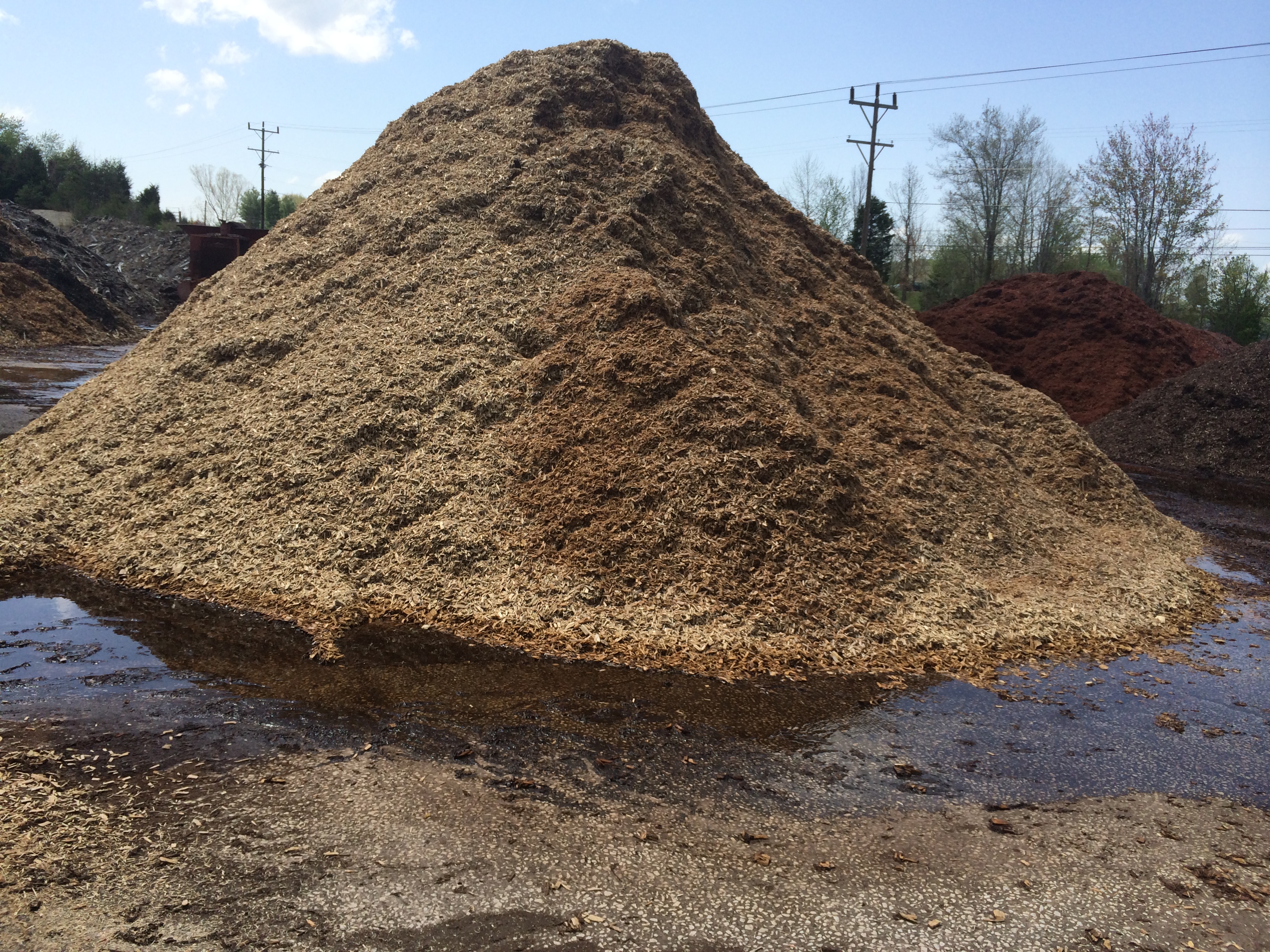
Mulch Plant
Topographic Map of Colfax Rd, Hillsboro, KY, USA
Find elevation by address:

Places near Colfax Rd, Hillsboro, KY, USA:
Johnson School Road
2175 Johnson School Rd
KY-, Hillsboro, KY, USA
Hillsboro
1366 Lower Rock Lick Rd
Moores Ferry Rd, Salt Lick, KY, USA
Interstate 64
KY-, Hillsboro, KY, USA
76 Limousine Ln
Crain Creek Road
10 Newcastle Ln
64 Nolin Ct
Shilo Drive
Freestone Rd, Morehead, KY, USA
3980 Ky-32
Lakeview Heights
555 Viking Dr
555 Viking Dr
444 Forest Hills Dr
Rowan County
Recent Searches:
- Elevation of Tenjo, Cundinamarca, Colombia
- Elevation of Côte-des-Neiges, Montreal, QC H4A 3J6, Canada
- Elevation of Bobcat Dr, Helena, MT, USA
- Elevation of Zu den Ihlowbergen, Althüttendorf, Germany
- Elevation of Badaber, Peshawar, Khyber Pakhtunkhwa, Pakistan
- Elevation of SE Heron Loop, Lincoln City, OR, USA
- Elevation of Slanický ostrov, 01 Námestovo, Slovakia
- Elevation of Spaceport America, Co Rd A, Truth or Consequences, NM, USA
- Elevation of Warwick, RI, USA
- Elevation of Fern Rd, Whitmore, CA, USA