Elevation of Moores Ferry Rd, Salt Lick, KY, USA
Location: United States > Kentucky > Bath County > Salt Lick >
Longitude: -83.631522
Latitude: 38.1475306
Elevation: 201m / 659feet
Barometric Pressure: 99KPa
Elevation Map:
Satellite Map:
Related Photos:

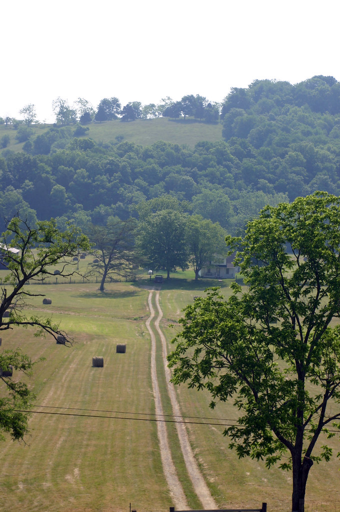
Cassidy Estate View

20110715-RD-LSC-0521
20110715-RD-LSC-0323
20110715-RD-LSC-0389
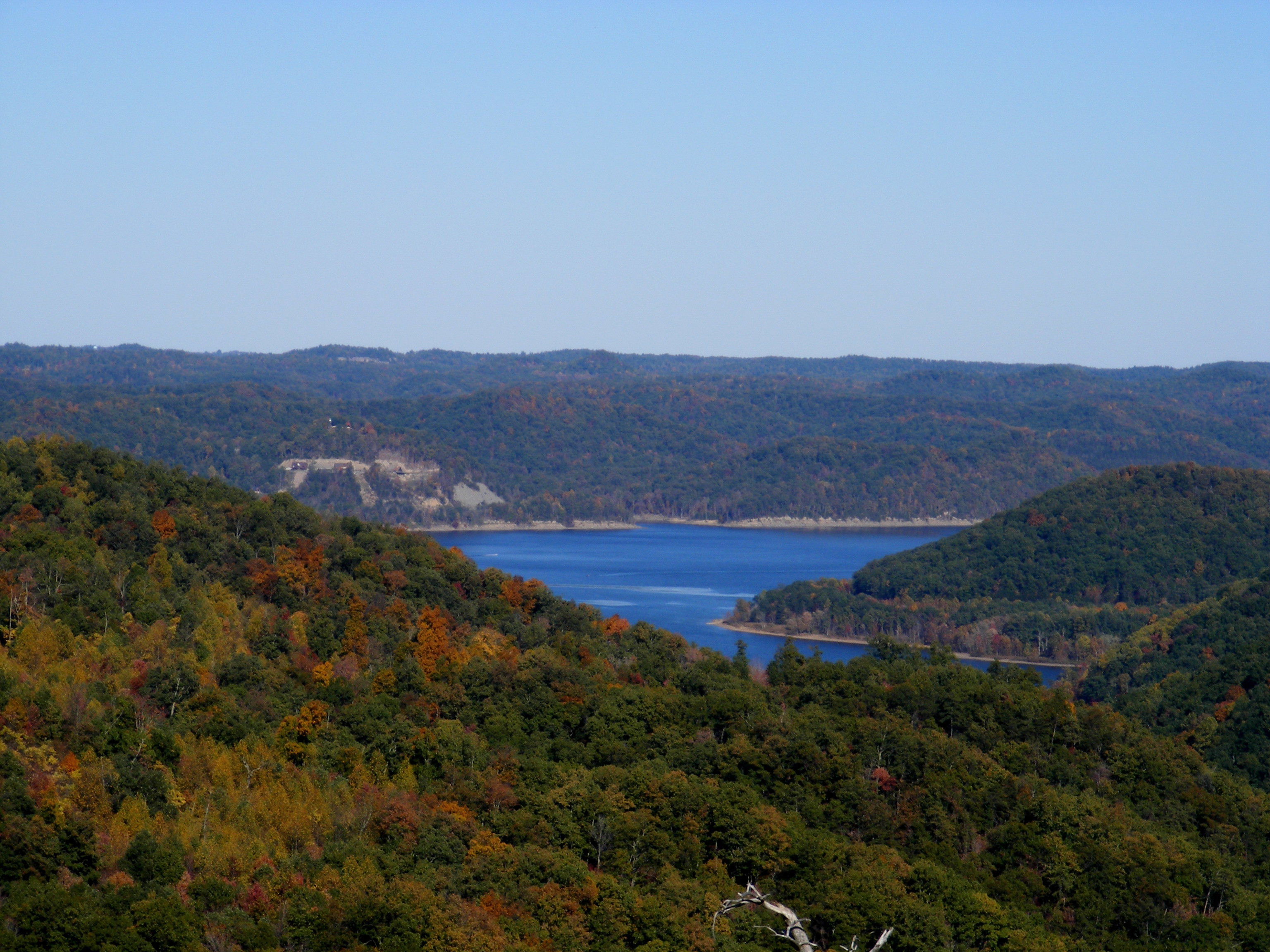
Cave Run Lake - Tater Knob Fire Tower
view of the lake from the tower

20110715-RD-LSC-0001

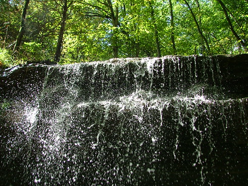
Creation Falls 3, Daniel Boone National Forest, Wolfe Co, KY
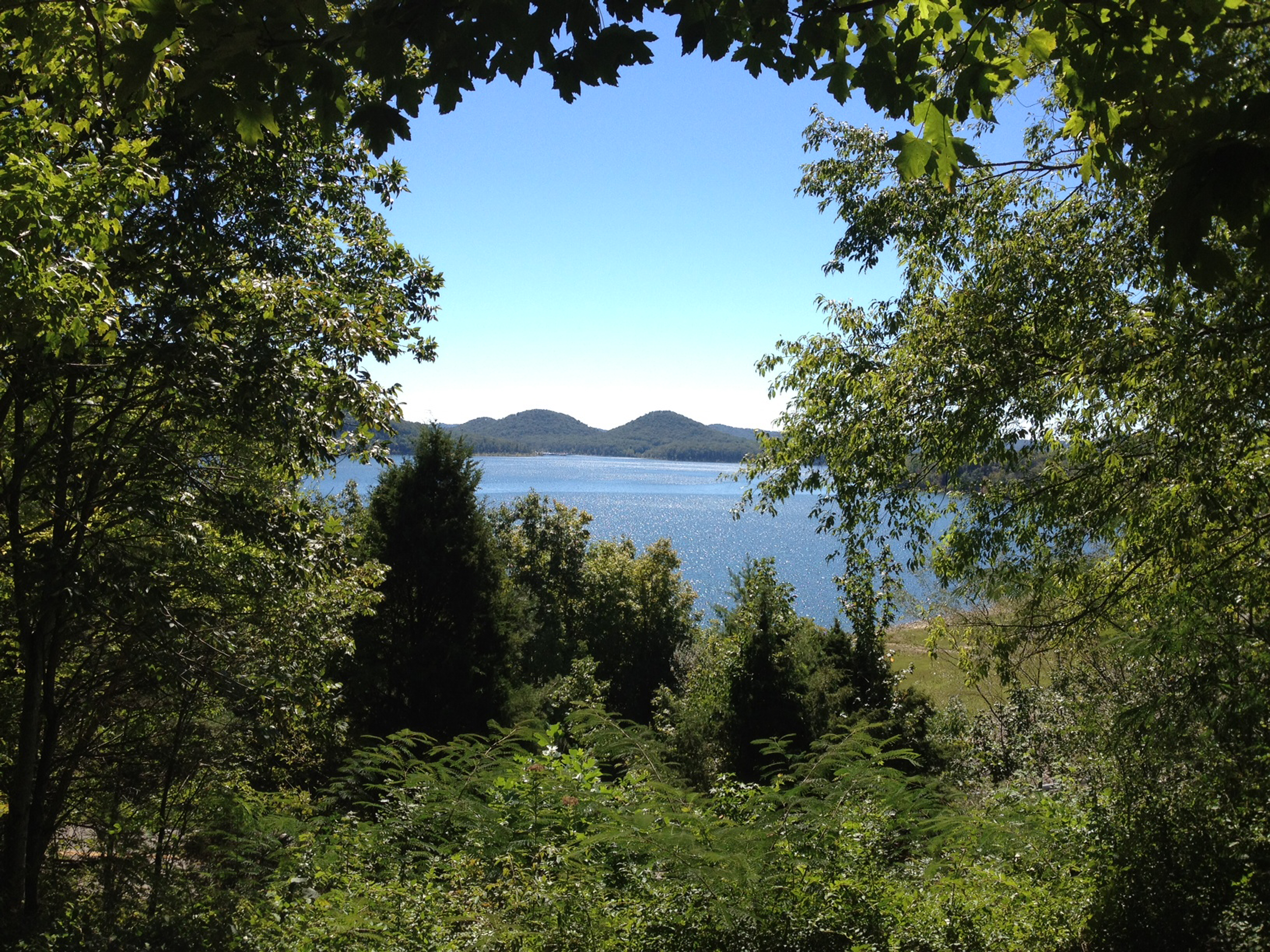
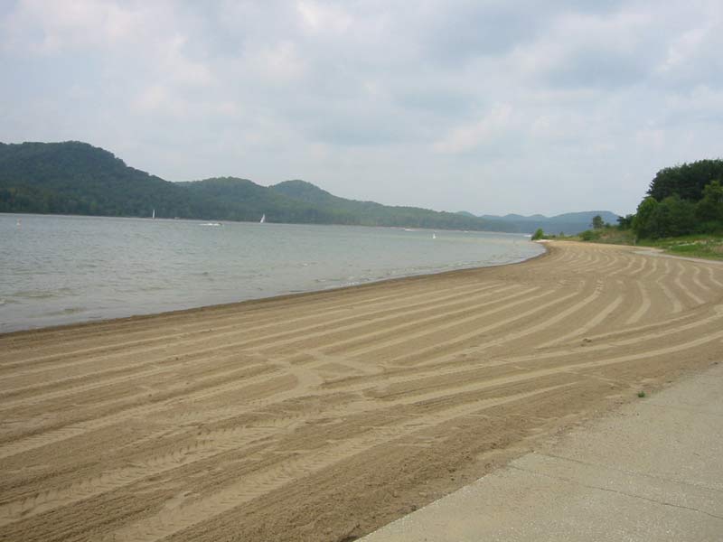
Cave Run Lake
Fallin for You

Grange City Bridge 1

Trudged thru 24 miles ~12 was deep mud. Swim time!
110-1097_IMG

Kodak 7240

Bridge 820-08
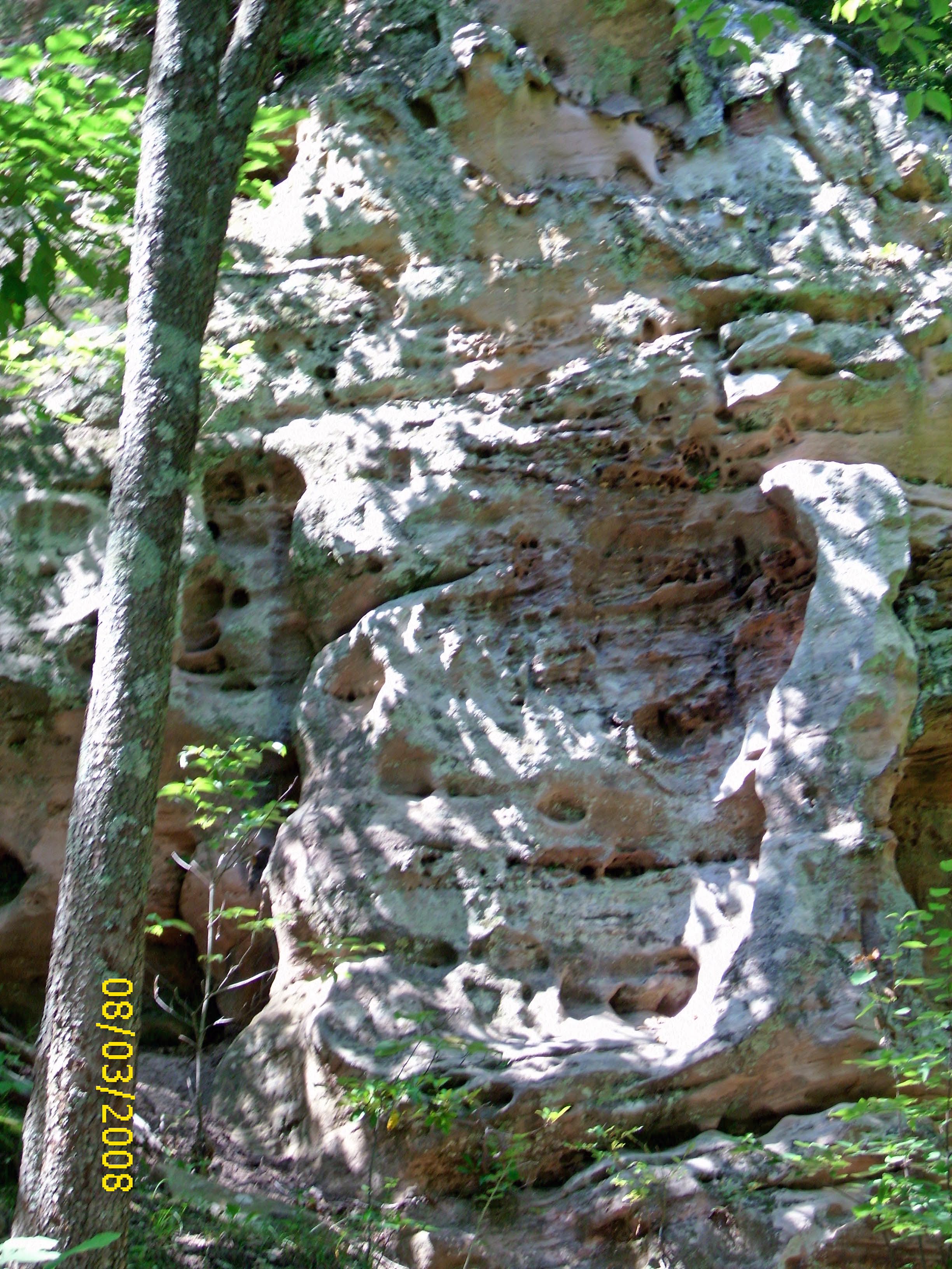
Rock formation
There is a crook in my path

Semi-palmated Sandpiper
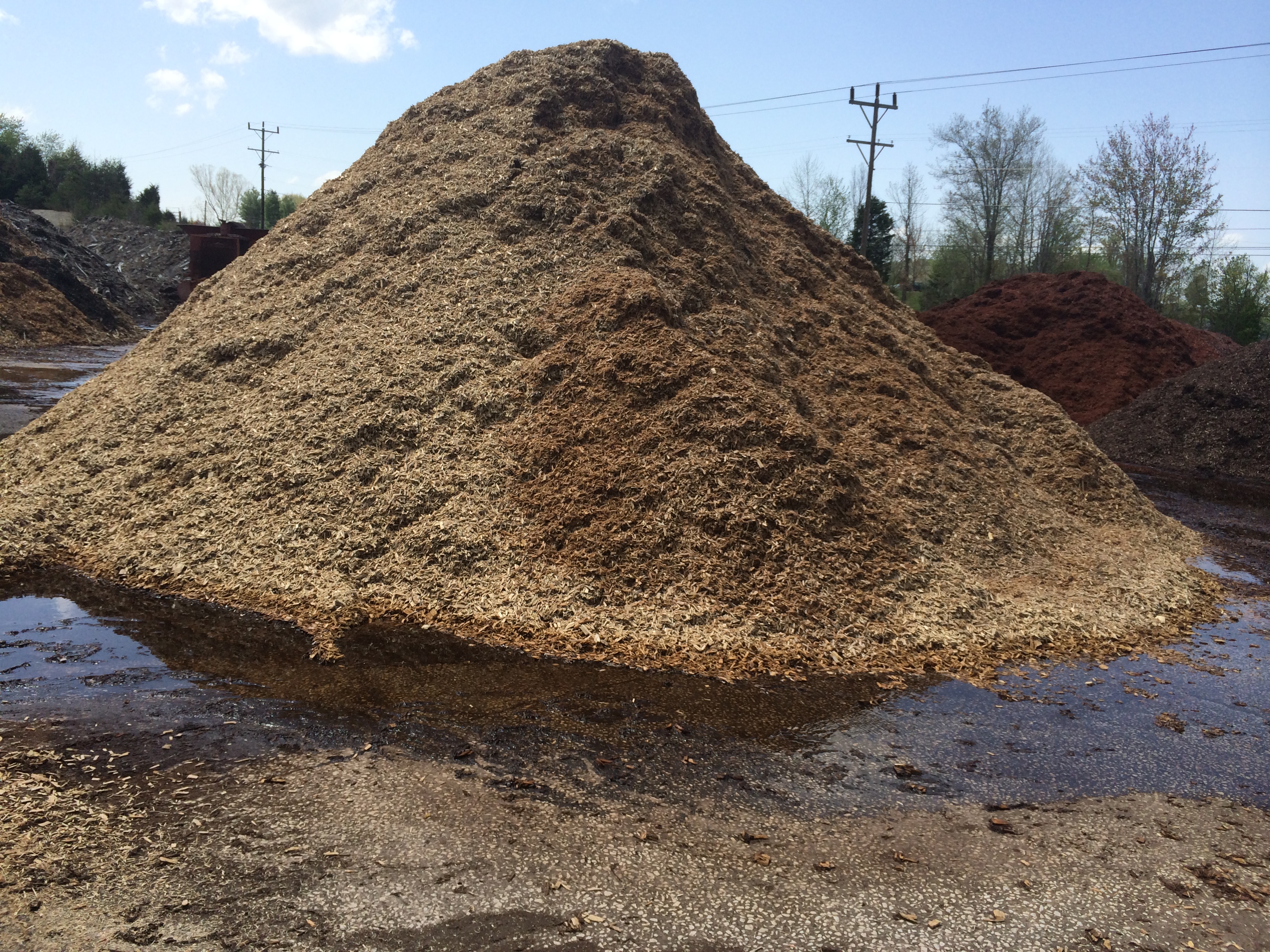
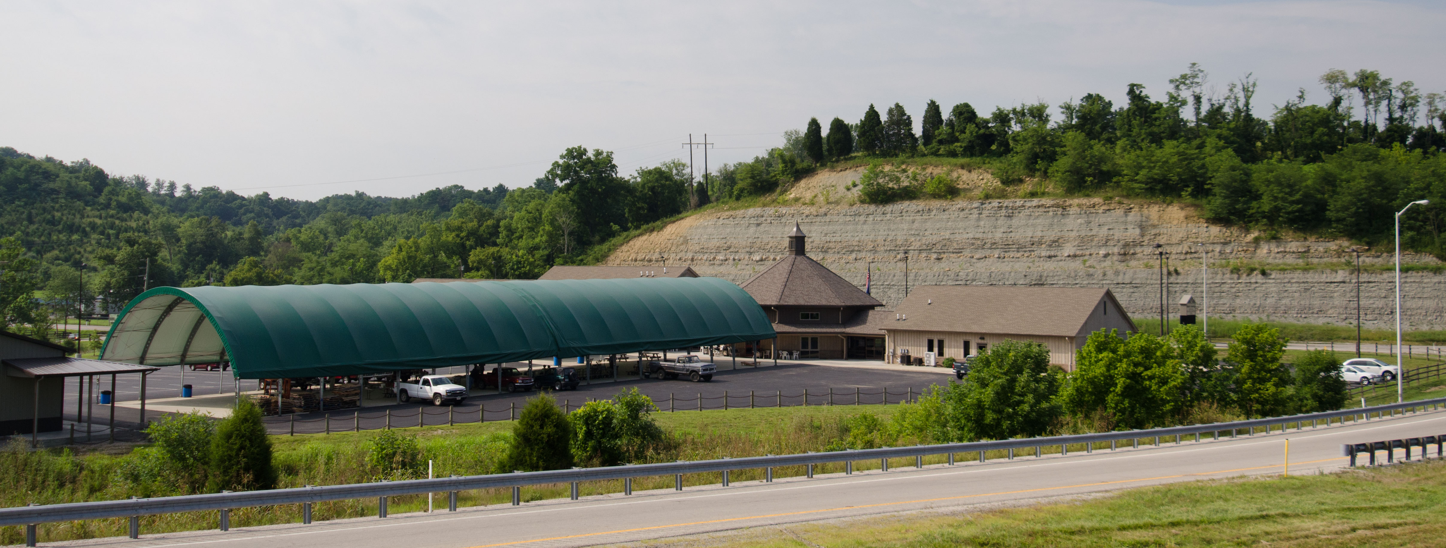
Mulch Plant
Topographic Map of Moores Ferry Rd, Salt Lick, KY, USA
Find elevation by address:

Places near Moores Ferry Rd, Salt Lick, KY, USA:
Interstate 64
2175 Johnson School Rd
Johnson School Road
1366 Lower Rock Lick Rd
Colfax Rd, Hillsboro, KY, USA
KY-, Hillsboro, KY, USA
76 Limousine Ln
Freestone Rd, Morehead, KY, USA
Lakeview Heights
10 Newcastle Ln
KY-, Hillsboro, KY, USA
Hillsboro
444 Forest Hills Dr
64 Nolin Ct
555 Viking Dr
555 Viking Dr
3980 Ky-32
Rowan County
Crain Creek Road
Shilo Drive
Recent Searches:
- Elevation of Warwick, RI, USA
- Elevation of Fern Rd, Whitmore, CA, USA
- Elevation of 62 Abbey St, Marshfield, MA, USA
- Elevation of Fernwood, Bradenton, FL, USA
- Elevation of Felindre, Swansea SA5 7LU, UK
- Elevation of Leyte Industrial Development Estate, Isabel, Leyte, Philippines
- Elevation of W Granada St, Tampa, FL, USA
- Elevation of Pykes Down, Ivybridge PL21 0BY, UK
- Elevation of Jalan Senandin, Lutong, Miri, Sarawak, Malaysia
- Elevation of Bilohirs'k