Elevation of Co Rd, Kennett, MO, USA
Location: United States > Missouri > Dunklin County > Independence Township > Kennett >
Longitude: -90.051512
Latitude: 36.2075359
Elevation: 77m / 253feet
Barometric Pressure: 100KPa
Elevation Map:
Satellite Map:
Related Photos:

CR 401 - A Dusty, Summer Sunset

Between You and Me

CR 401 - Foggy Fall Morning

Daffodil Fairy Tale

The Old Mink Barn

The Lilly of the Lattice

Flower Du Jour - 3/3

The Line

The Great White

Kennett, Missouri !

CR 401 - Winter Sunrise

How To Say Goodbye

CR 401 - SPRING!!
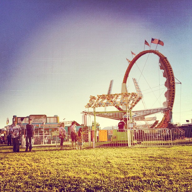
yeah! Fair!
Topographic Map of Co Rd, Kennett, MO, USA
Find elevation by address:

Places near Co Rd, Kennett, MO, USA:
Independence Township
Kennett
Dunklin County
Co Rd, Kennett, MO, USA
Co Rd, Rector, AR, USA
MO-25, Kennett, MO, USA
Dock St, Rector, AR, USA
Nimmons
Co Rd, Rector, AR, USA
MO-, Hornersville, MO, USA
AR-90, Rector, AR, USA
MO-25, Holcomb, MO, USA
Co Rd, Piggott, AR, USA
Payne-swain Township
Clay Township
MO-25, Holcomb, MO, USA
Hornersville
AR-90, Rector, AR, USA
Holcomb
East Oak Bluff-blue Cane Township
Recent Searches:
- Elevation of Corso Fratelli Cairoli, 35, Macerata MC, Italy
- Elevation of Tallevast Rd, Sarasota, FL, USA
- Elevation of 4th St E, Sonoma, CA, USA
- Elevation of Black Hollow Rd, Pennsdale, PA, USA
- Elevation of Oakland Ave, Williamsport, PA, USA
- Elevation of Pedrógão Grande, Portugal
- Elevation of Klee Dr, Martinsburg, WV, USA
- Elevation of Via Roma, Pieranica CR, Italy
- Elevation of Tavkvetili Mountain, Georgia
- Elevation of Hartfords Bluff Cir, Mt Pleasant, SC, USA