Elevation of Hornersville, MO, USA
Location: United States > Missouri > Dunklin County > Clay Township >
Longitude: -90.113982
Latitude: 36.0417362
Elevation: 75m / 246feet
Barometric Pressure: 100KPa
Elevation Map:
Satellite Map:
Related Photos:

The Old Farmer's Union Gin? Senath, MO

Do I have to go back to work?
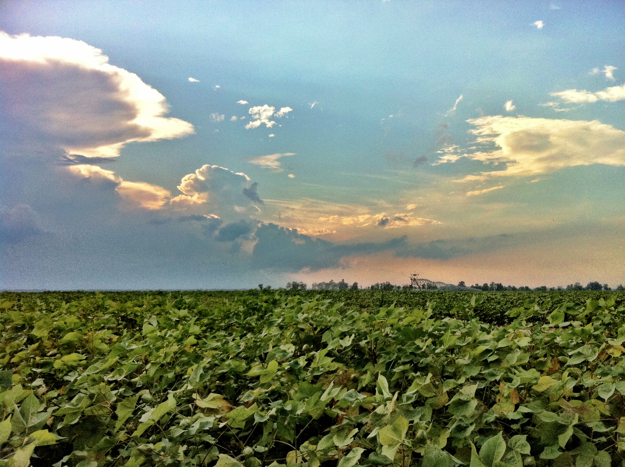
cotton is coming
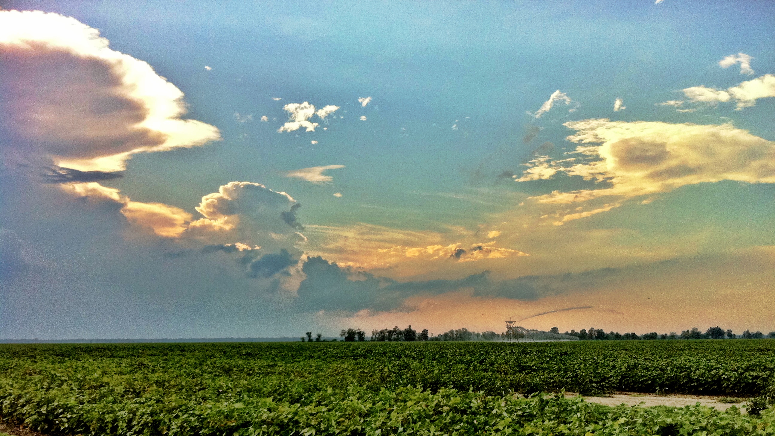
water before the rain
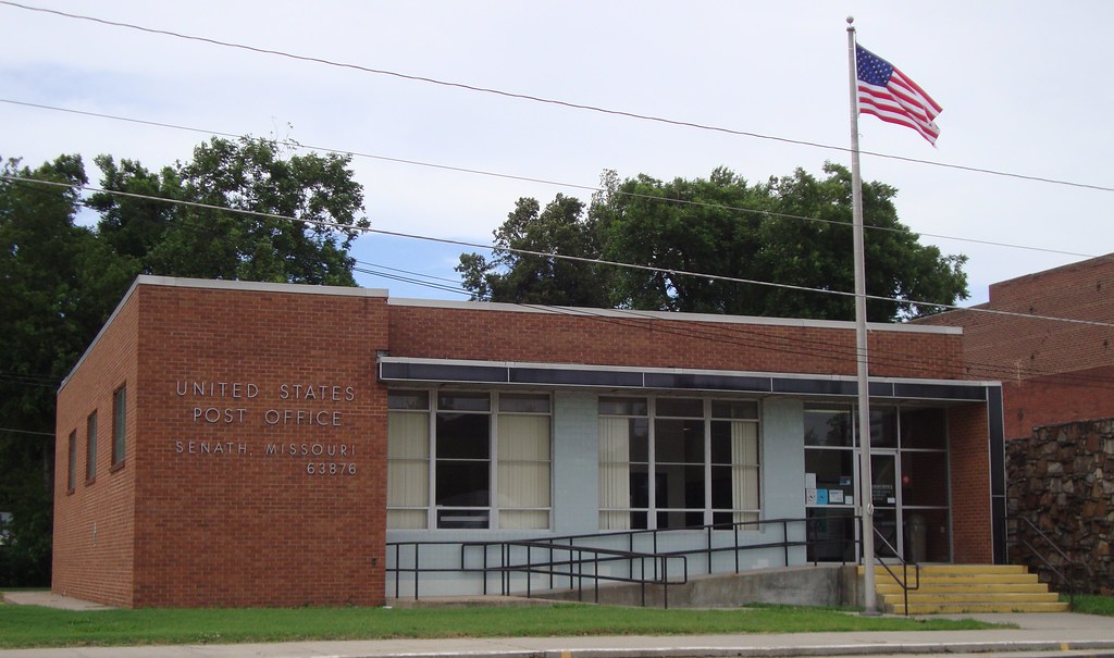
Post Office 63876 (Senath, Missouri)
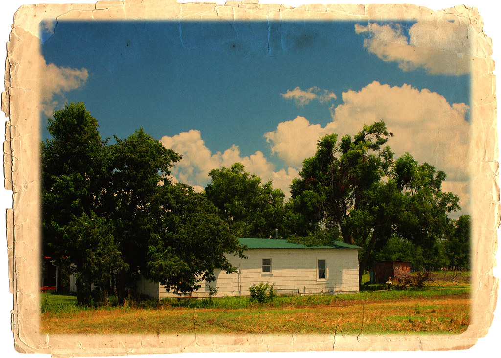
misplaced history
Topographic Map of Hornersville, MO, USA
Find elevation by address:

Places in Hornersville, MO, USA:
Places near Hornersville, MO, USA:
MO-, Hornersville, MO, USA
Clay Township
Bowen Township
AR-, Blytheville, AR, USA
AR-77, Leachville, AR, USA
Half Moon Lake Township
Neal Township
N Co Rd, Blytheville, AR, USA
Buffalo Township
Manila
Co Rd, Kennett, MO, USA
E 3rd St, Leachville, AR, USA
E Poole St, Cardwell, MO, USA
Leachville
Cardwell
Big Lake Township
Independence Township
AR-18, Manila, AR, USA
AR-18, Manila, AR, USA
AR-18, Blytheville, AR, USA
Recent Searches:
- Elevation of 6 Rue Jules Ferry, Beausoleil, France
- Elevation of Sattva Horizon, 4JC6+G9P, Vinayak Nagar, Kattigenahalli, Bengaluru, Karnataka, India
- Elevation of Great Brook Sports, Gold Star Hwy, Groton, CT, USA
- Elevation of 10 Mountain Laurels Dr, Nashua, NH, USA
- Elevation of 16 Gilboa Ln, Nashua, NH, USA
- Elevation of Laurel Rd, Townsend, TN, USA
- Elevation of 3 Nestling Wood Dr, Long Valley, NJ, USA
- Elevation of Ilungu, Tanzania
- Elevation of Yellow Springs Road, Yellow Springs Rd, Chester Springs, PA, USA
- Elevation of Rēzekne Municipality, Latvia