Elevation of MO-25, Kennett, MO, USA
Location: United States > Missouri > Dunklin County > Independence Township > Kennett >
Longitude: -90.02713
Latitude: 36.294539
Elevation: 80m / 262feet
Barometric Pressure: 100KPa
Elevation Map:
Satellite Map:
Related Photos:

Daffodil Fairy Tale

CR 401 - A Dusty, Summer Sunset

Between You and Me
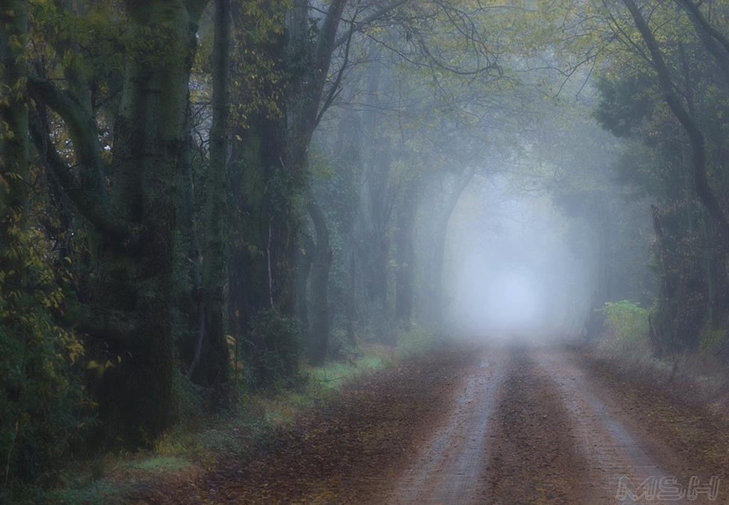
CR 401 - Foggy Fall Morning

The Lilly of the Lattice

The Old Mink Barn

Flower Du Jour - 3/3

The Line

The Great White

Kennett, Missouri !

How To Say Goodbye
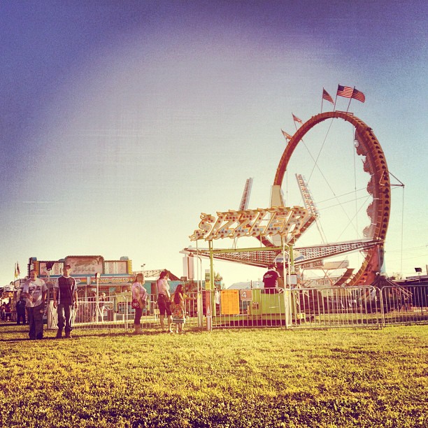
yeah! Fair!
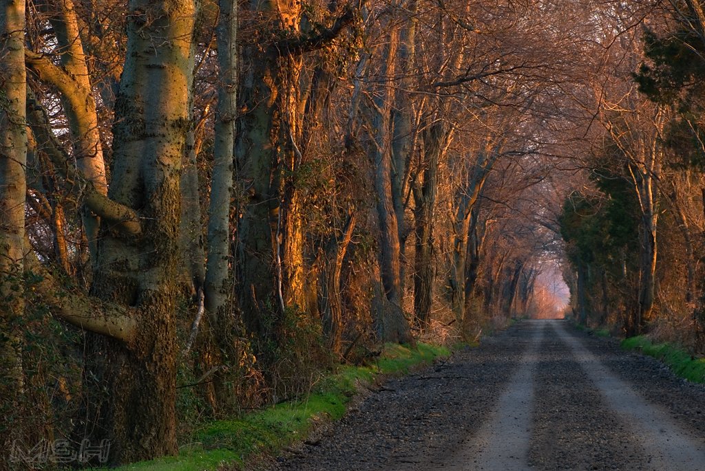
CR 401 - Winter Sunrise

CR 401 - SPRING!!
Topographic Map of MO-25, Kennett, MO, USA
Find elevation by address:

Places near MO-25, Kennett, MO, USA:
MO-25, Holcomb, MO, USA
Dunklin County
Kennett
Dock St, Rector, AR, USA
Nimmons
Co Rd, Kennett, MO, USA
Independence Township
MO-25, Holcomb, MO, USA
Co Rd, Piggott, AR, USA
Co Rd, Rector, AR, USA
Co Rd, Rector, AR, USA
Payne-swain Township
AR-90, Rector, AR, USA
US-62, Piggott, AR, USA
Piggott
AR-90, Rector, AR, USA
County Road 478
East Oak Bluff-blue Cane Township
Bradshaw-haywood Township
11 Co Rd, Rector, AR, USA
Recent Searches:
- Elevation of Foligno, Province of Perugia, Italy
- Elevation of Blauwestad, Netherlands
- Elevation of Bella Terra Blvd, Estero, FL, USA
- Elevation of Estates Loop, Priest River, ID, USA
- Elevation of Woodland Oak Pl, Thousand Oaks, CA, USA
- Elevation of Brownsdale Rd, Renfrew, PA, USA
- Elevation of Corcoran Ln, Suffolk, VA, USA
- Elevation of Mamala II, Sariaya, Quezon, Philippines
- Elevation of Sarangdanda, Nepal
- Elevation of 7 Waterfall Way, Tomball, TX, USA