Elevation of Co Rd, Huntsville, AR, USA
Location: United States > Arkansas > Madison County > Huntsville >
Longitude: -93.682644
Latitude: 36.0852806
Elevation: 399m / 1309feet
Barometric Pressure: 97KPa
Elevation Map:
Satellite Map:
Related Photos:
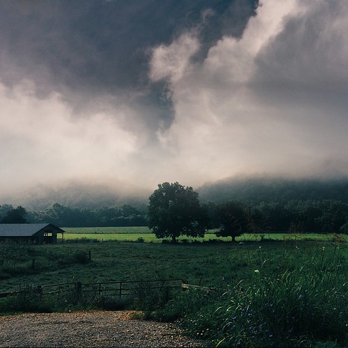
Ozark Summers
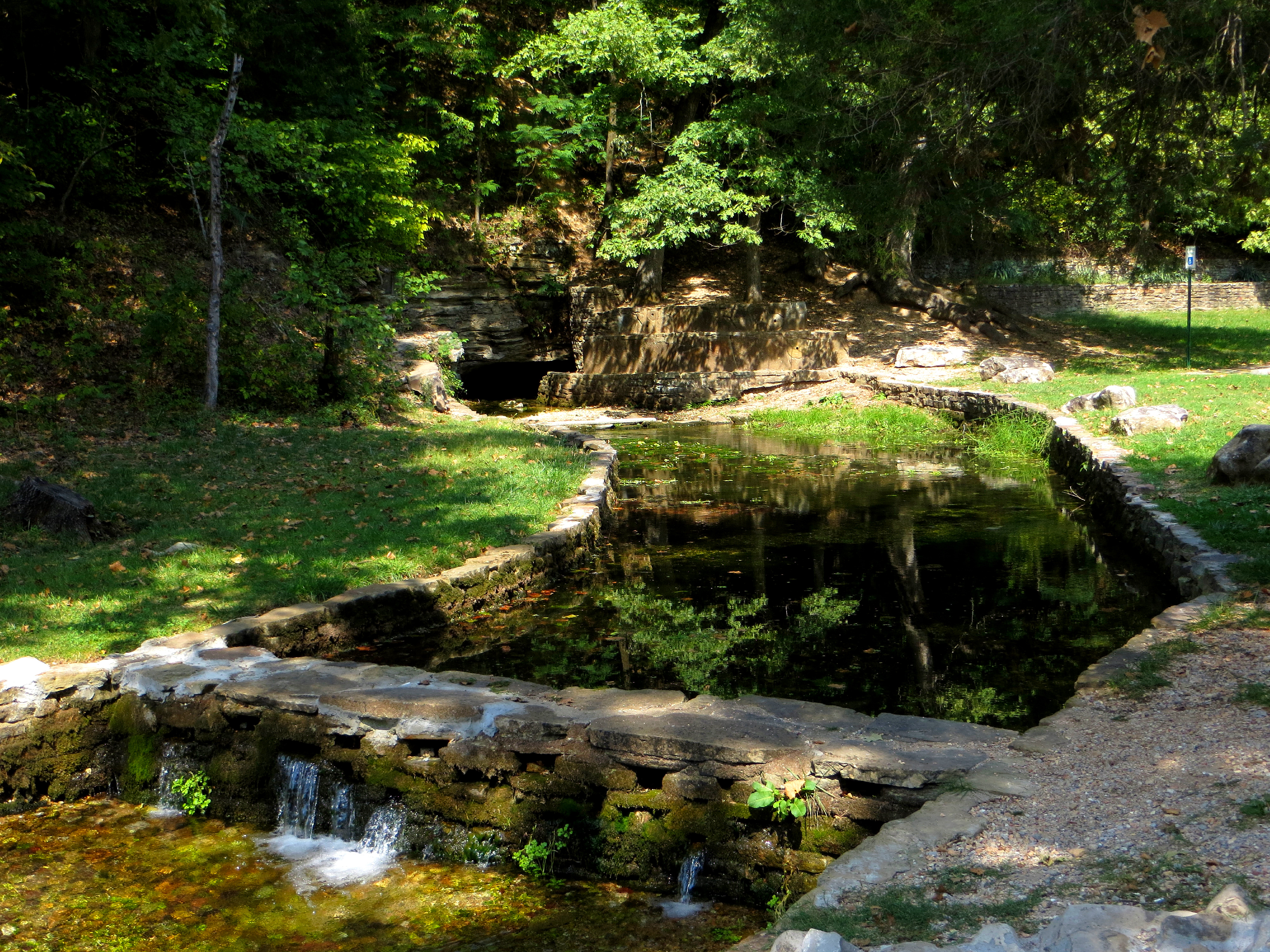
Withrow Spring
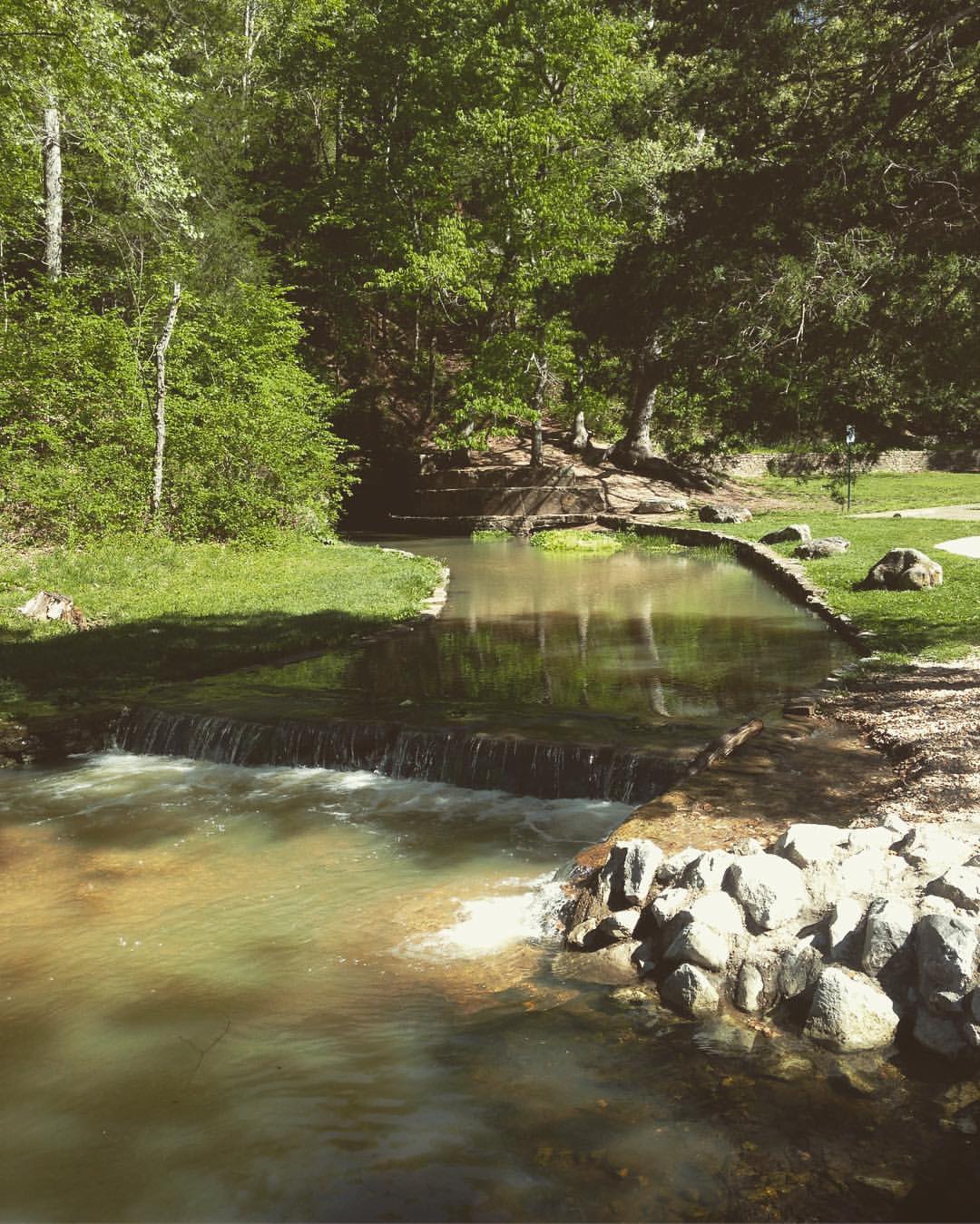
Withrow Springs (Madison County)
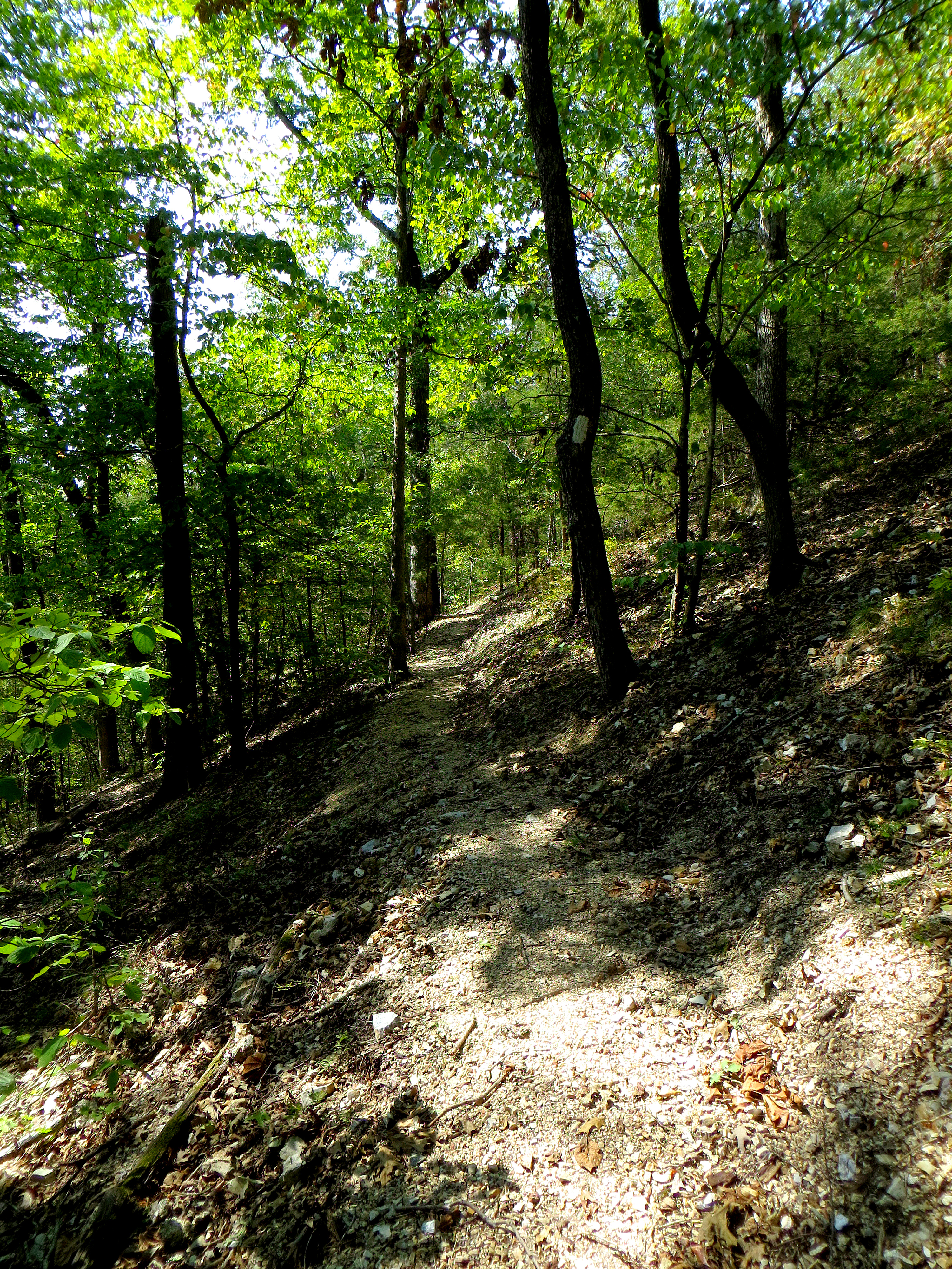
War Eagle Trail
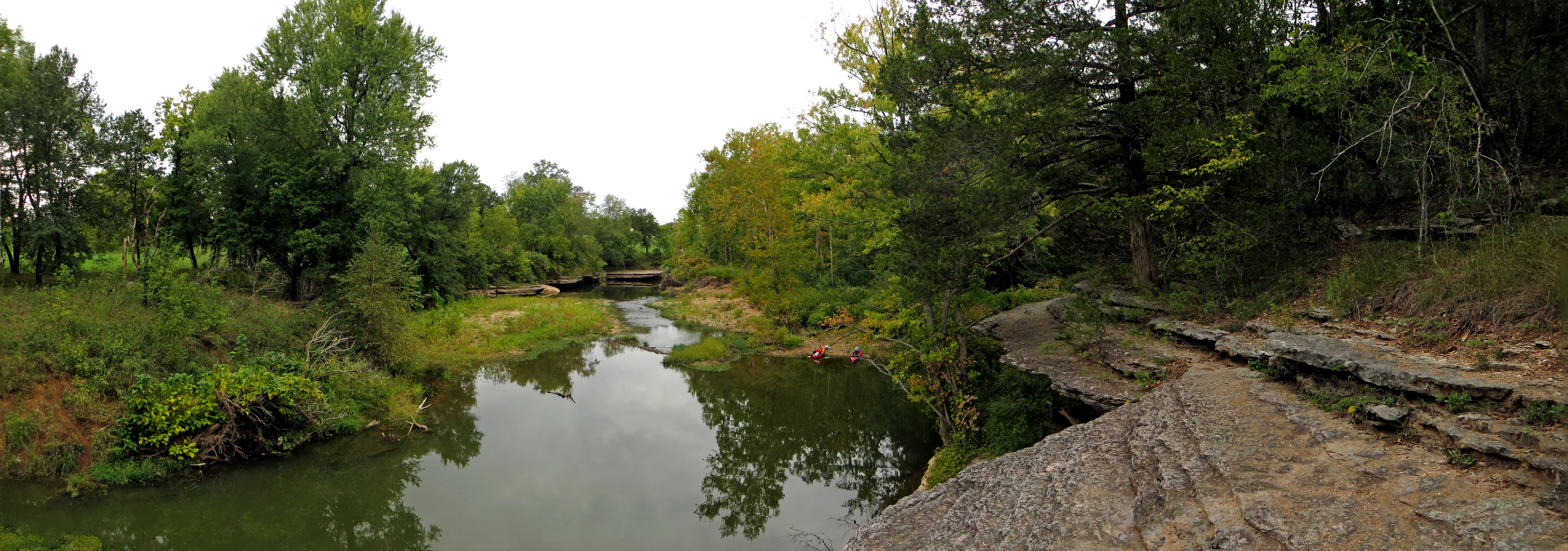
War Eagle Creek with Kayaks
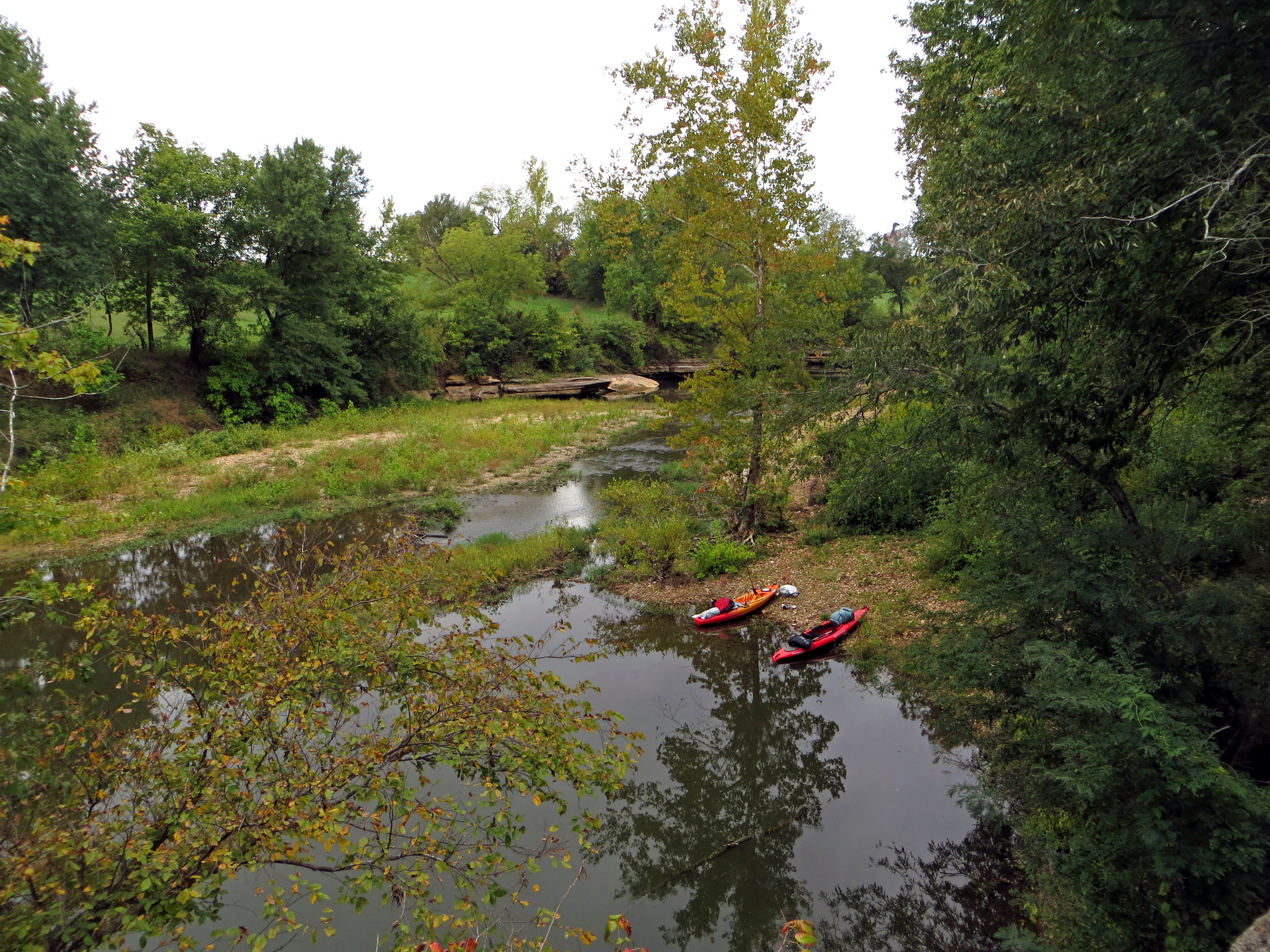
Kayaks on War Eagle Creek
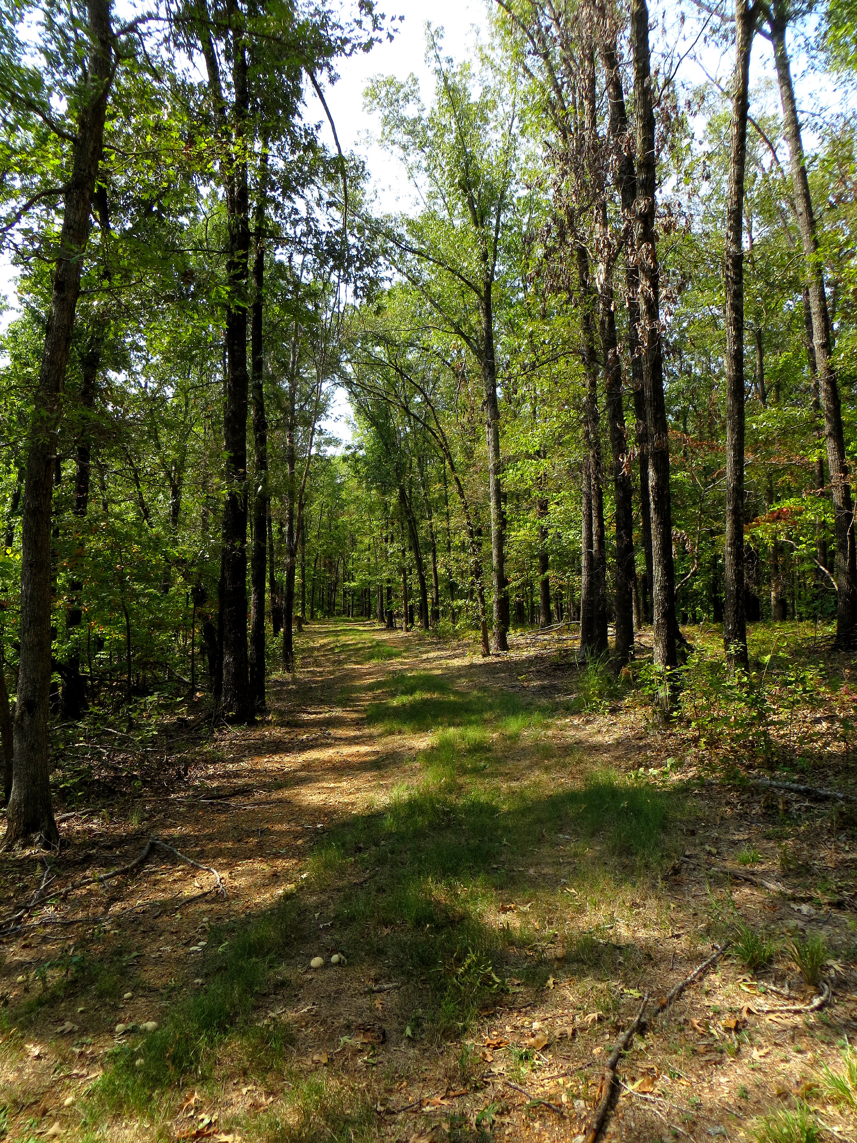
Old Road Forest Trail
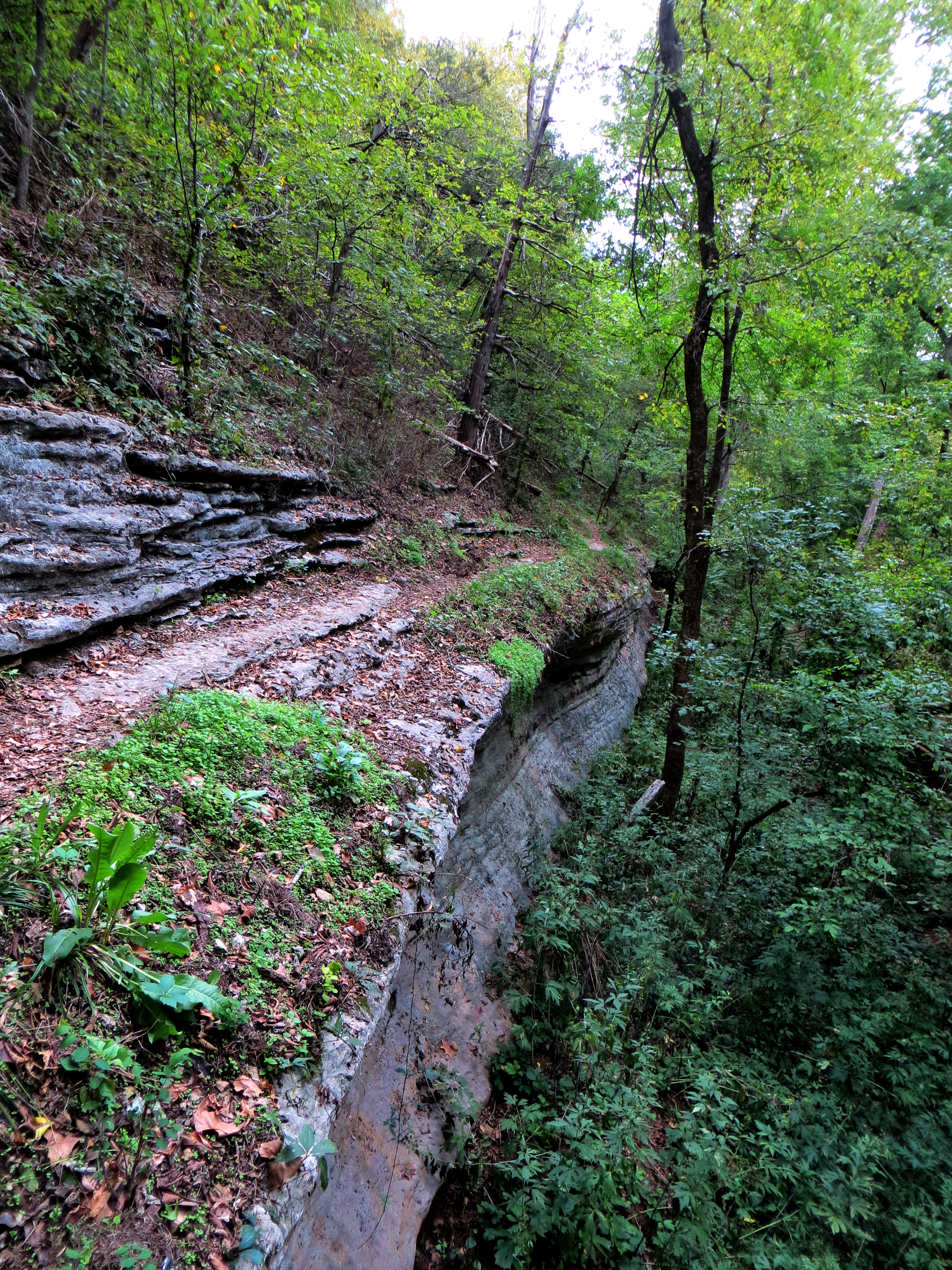
Riding the Bluff Edge
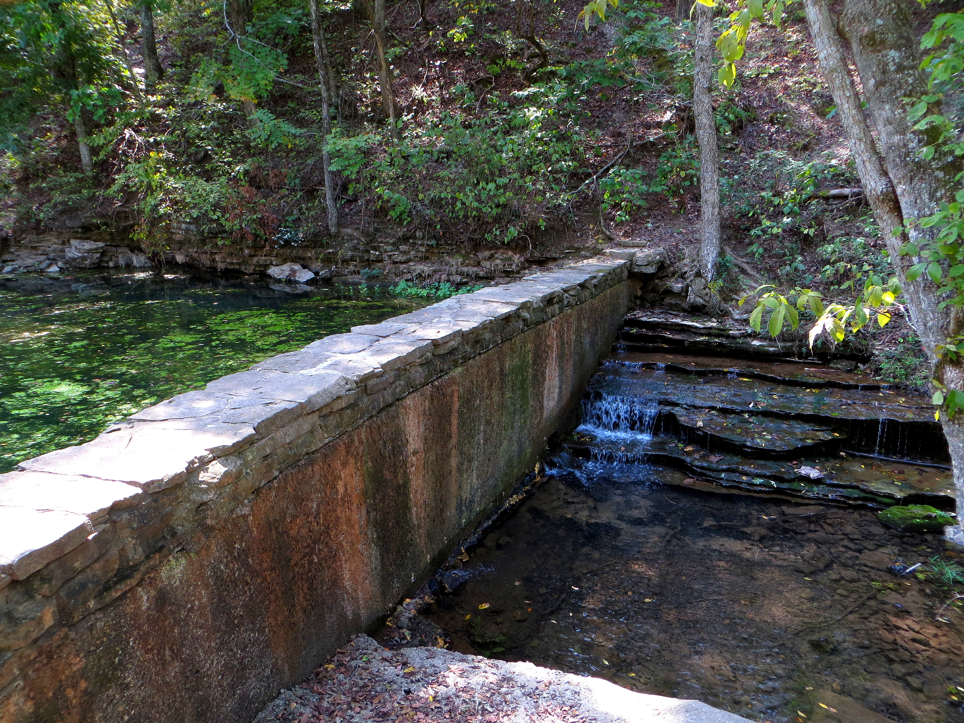
Crossing the Dam
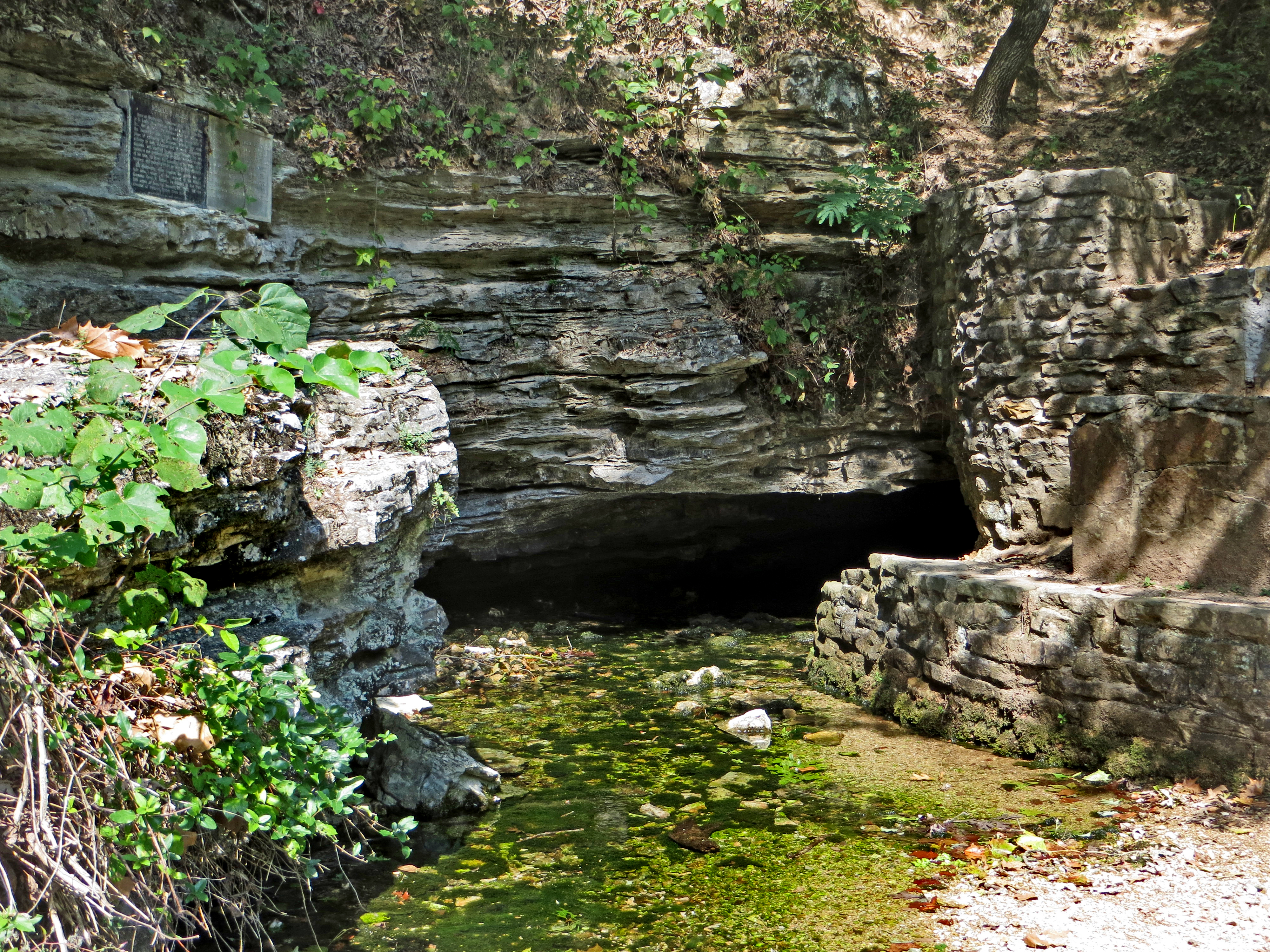
Withrow Spring CloseUp
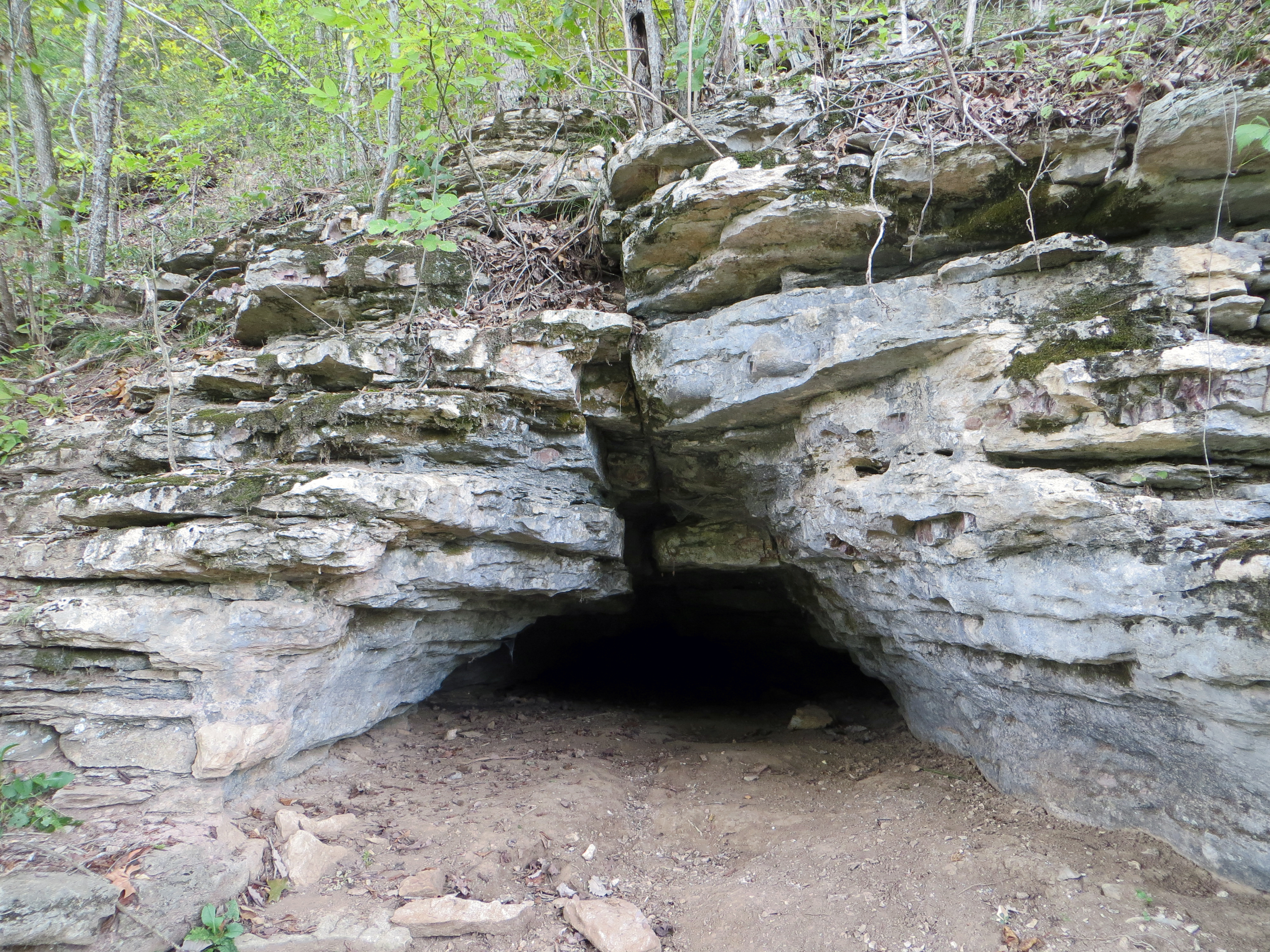
Small Cave Along the War Eagle Trail
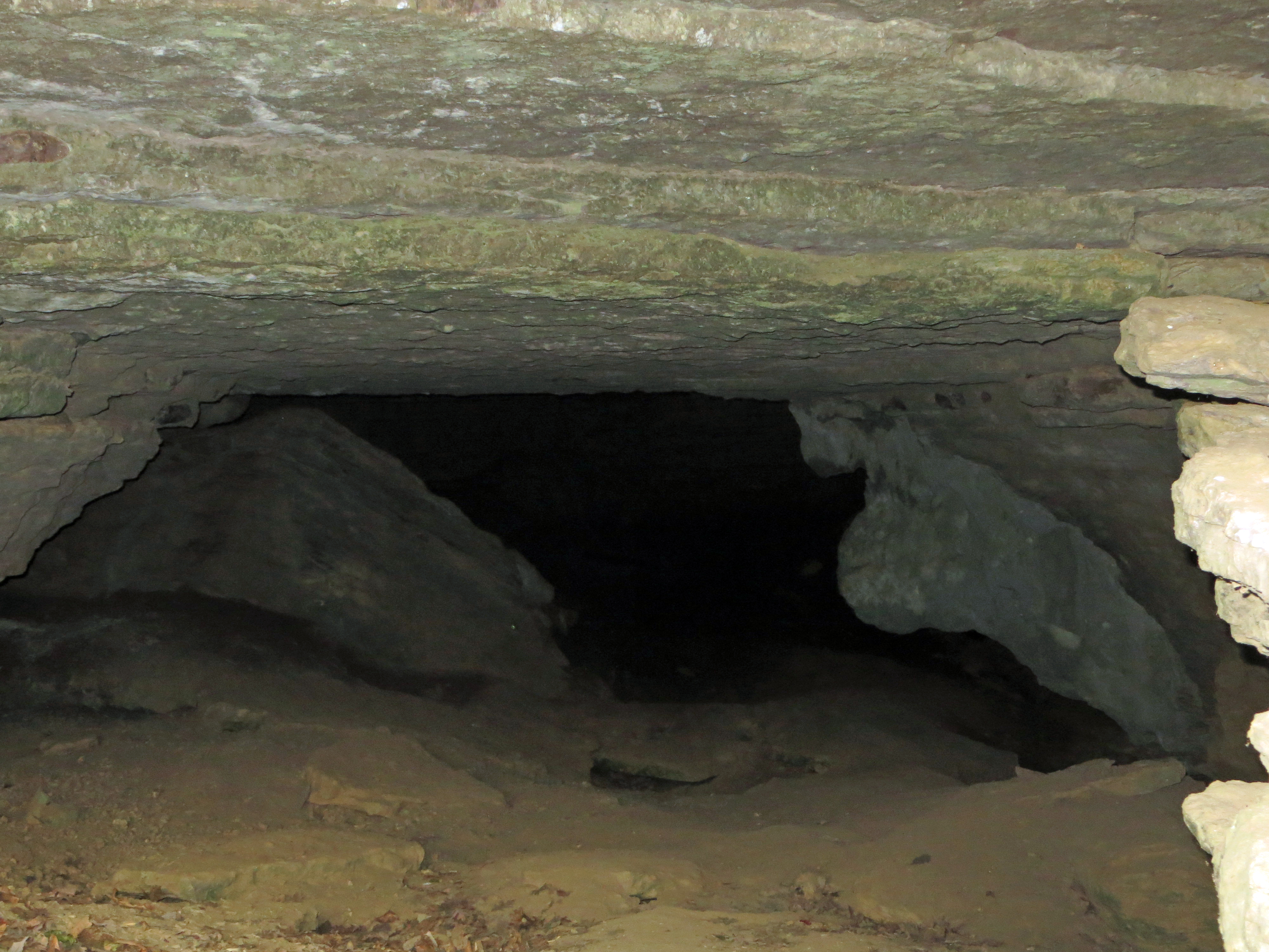
Peering Into the Cave
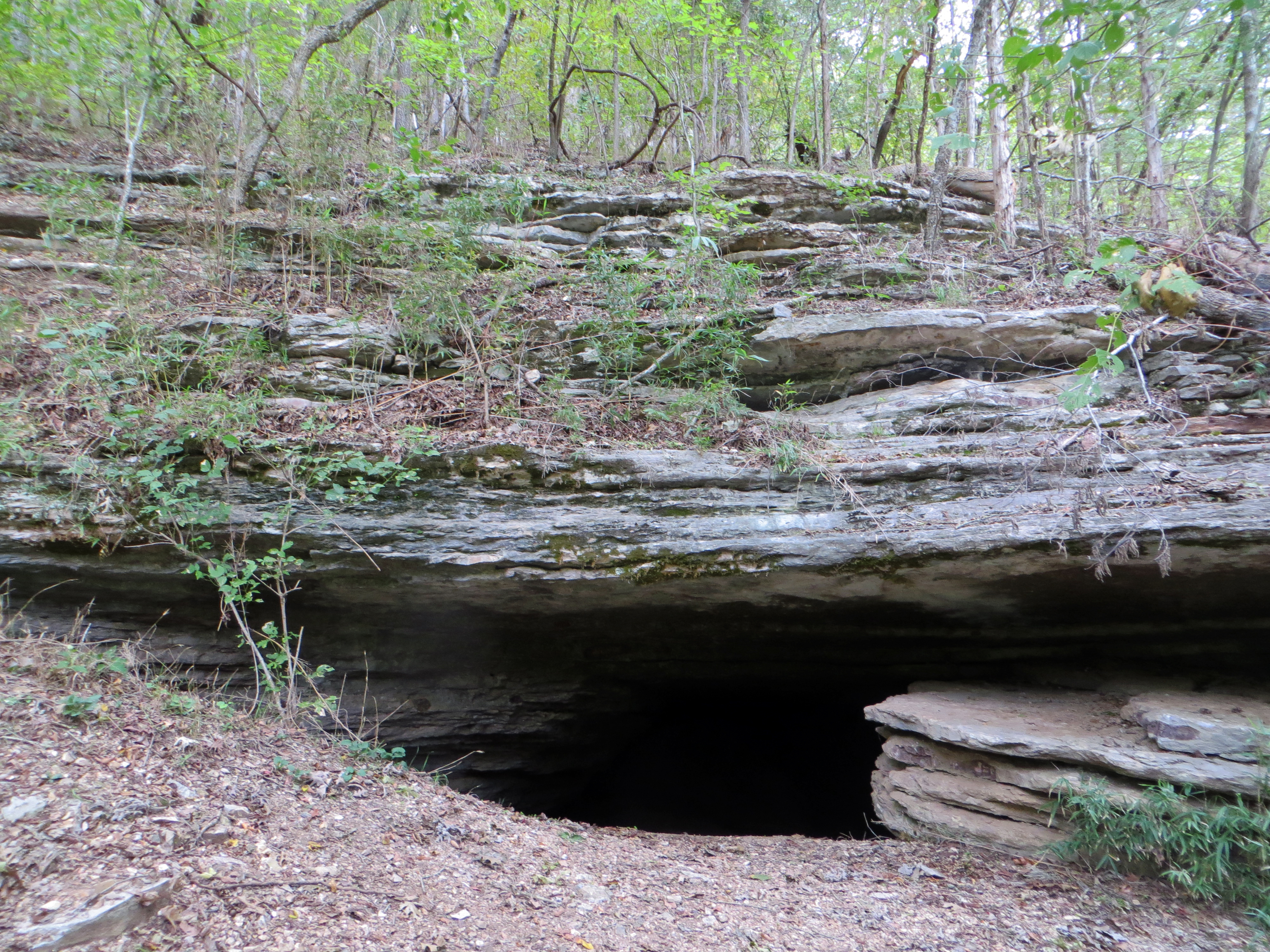
Cave on the War Eagle Trail
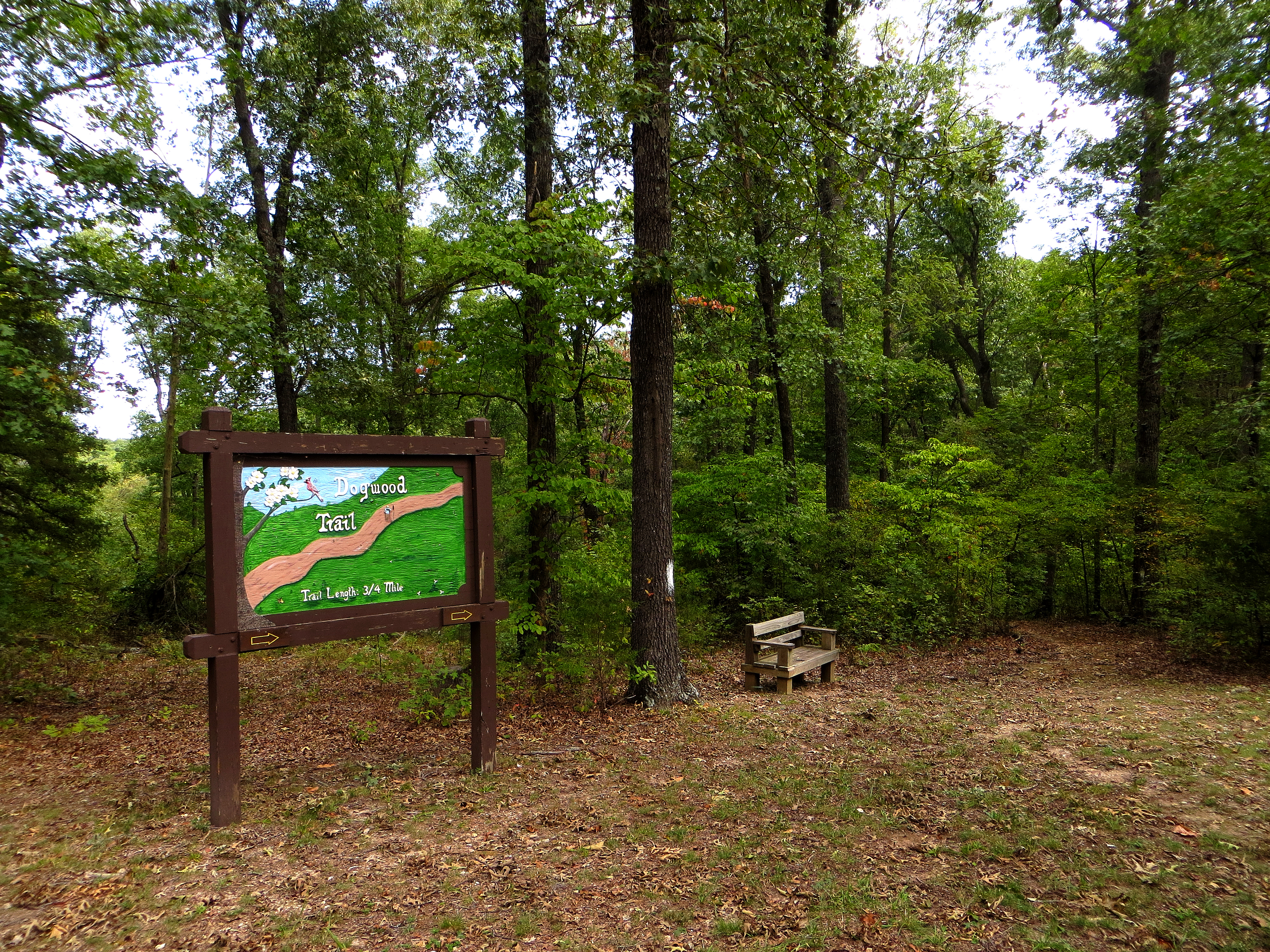
Dogwood Trailhead

Dogwood Trail
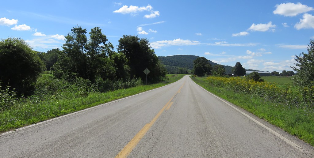
Northwestern Arkansas Landscape (Madison County, Arkansas)
Topographic Map of Co Rd, Huntsville, AR, USA
Find elevation by address:

Places near Co Rd, Huntsville, AR, USA:
War Eagle Ii Township
289 Co Rd 2015 #6512
Arkansas 74
195 Mcelhaney Pl #3057
672 Madison St
War Eagle Township
Huntsville
Countryside Assisted Living
AR-, Huntsville, AR, USA
Huntsville Airport
32292 Ar-23
Madison 8653
Saint 1
County Road 1279
3069 Ar-127
Purdy Township
Alabam Township
AR-23, Huntsville, AR, USA
Purdy
Madison, Huntsville, AR, USA
Recent Searches:
- Elevation of 15th Ave SE, St. Petersburg, FL, USA
- Elevation of Beall Road, Beall Rd, Florida, USA
- Elevation of Leguwa, Nepal
- Elevation of County Rd, Enterprise, AL, USA
- Elevation of Kolchuginsky District, Vladimir Oblast, Russia
- Elevation of Shustino, Vladimir Oblast, Russia
- Elevation of Lampiasi St, Sarasota, FL, USA
- Elevation of Elwyn Dr, Roanoke Rapids, NC, USA
- Elevation of Congressional Dr, Stevensville, MD, USA
- Elevation of Bellview Rd, McLean, VA, USA