Elevation of Purdy Township, AR, USA
Location: United States > Arkansas > Madison County >
Longitude: -93.591393
Latitude: 36.0900478
Elevation: 479m / 1572feet
Barometric Pressure: 96KPa
Elevation Map:
Satellite Map:
Related Photos:
DSC04039
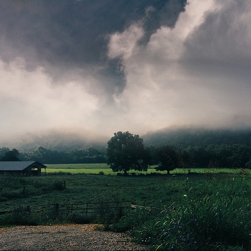
Ozark Summers
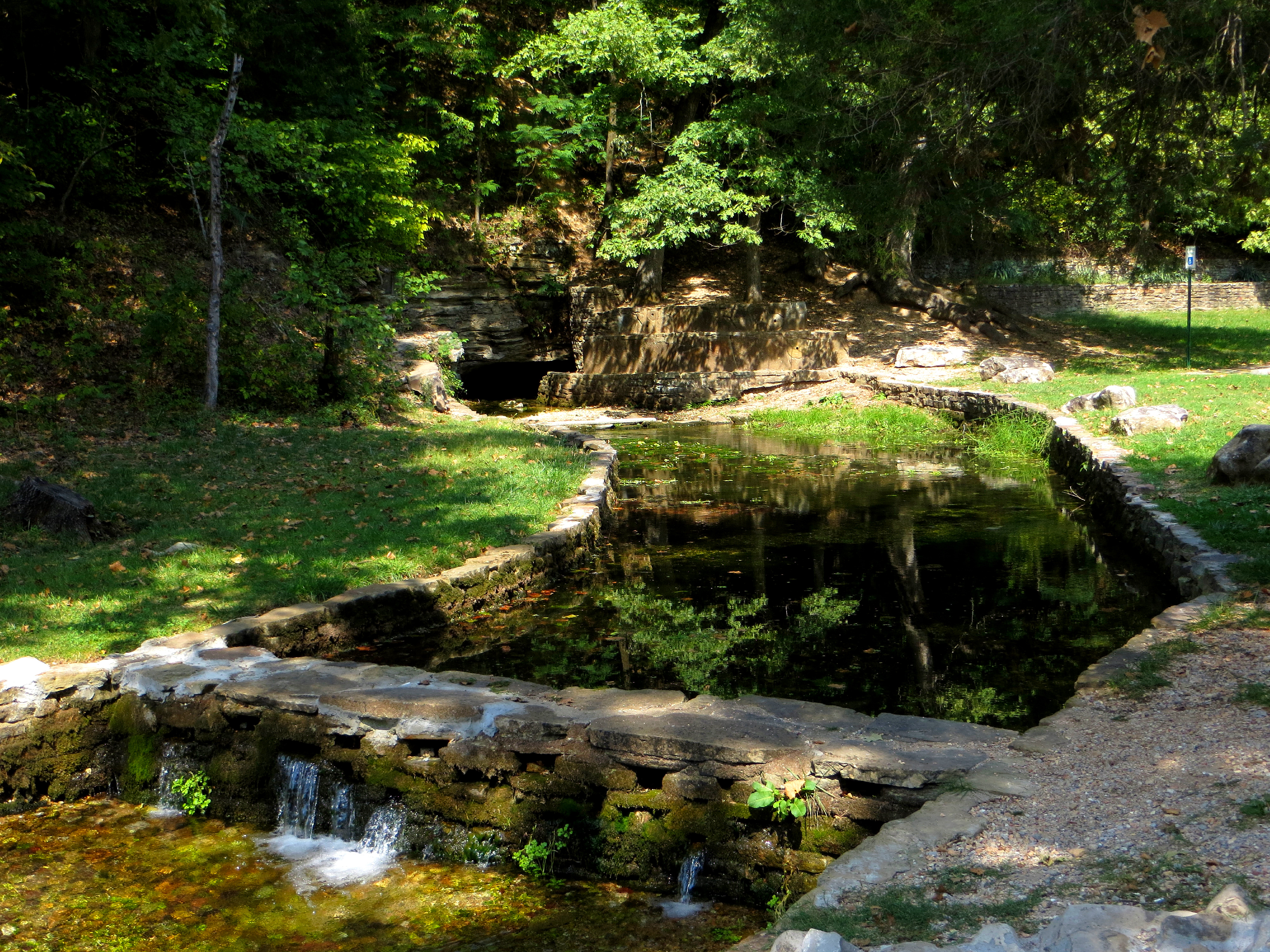
Withrow Spring
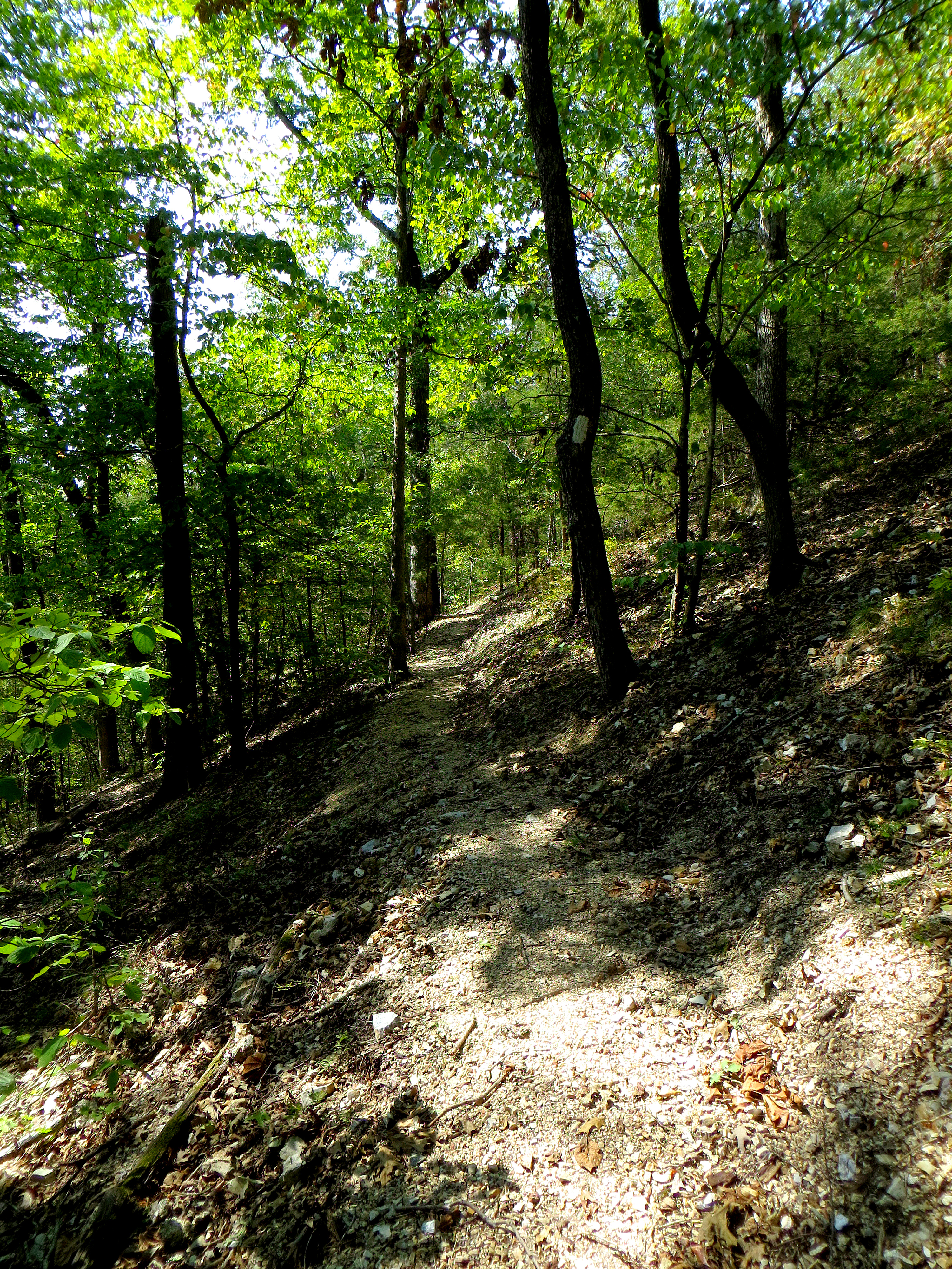
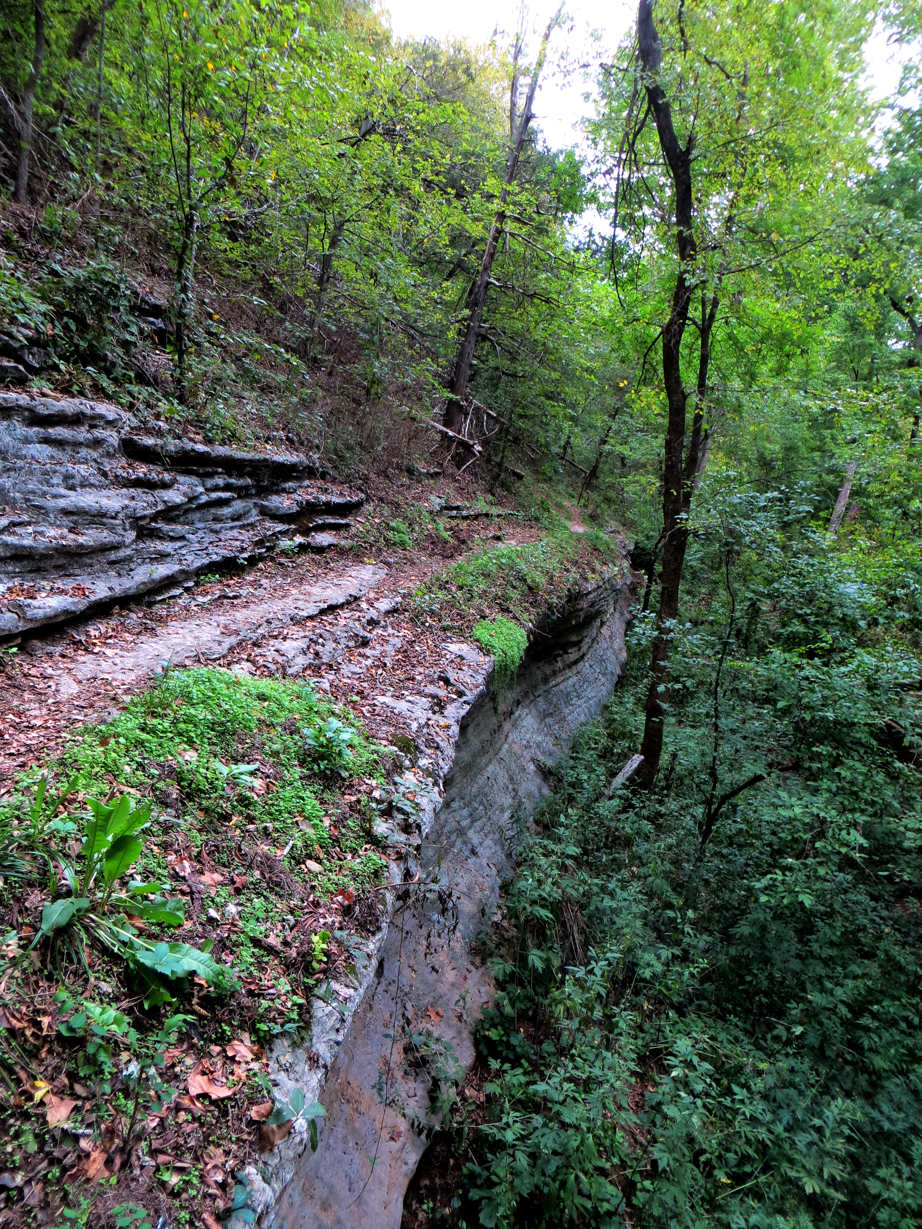
War Eagle Trail

Withrow Springs State Park
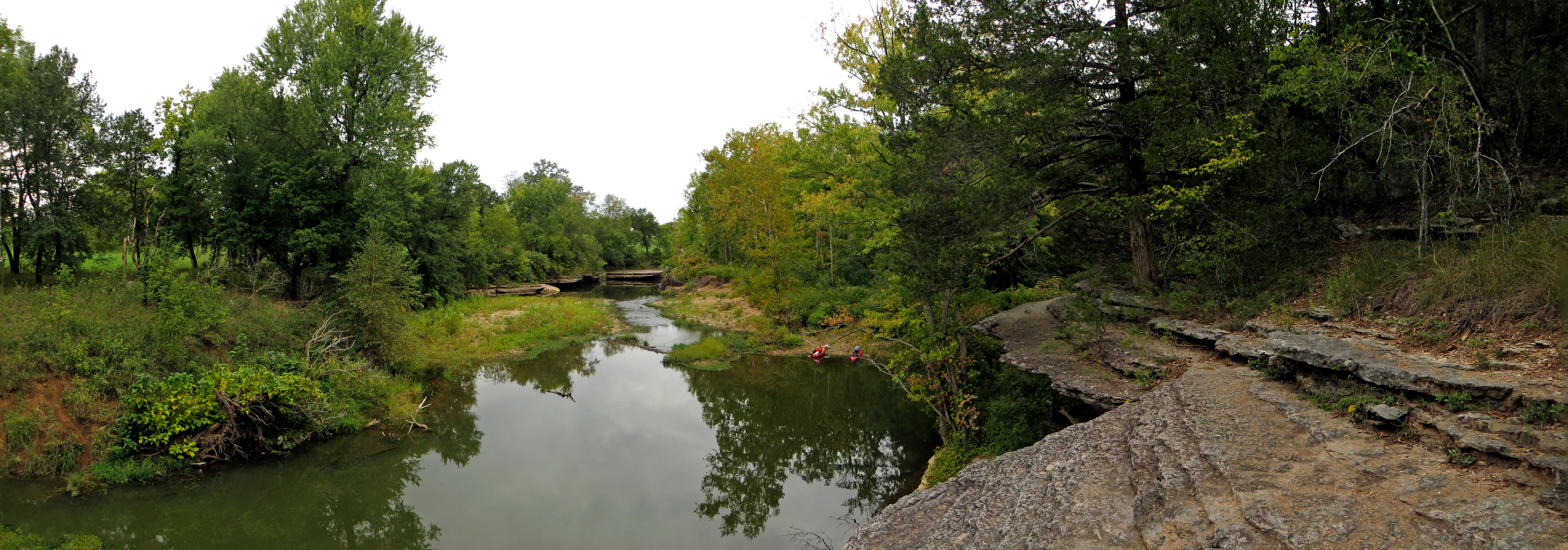
War Eagle Creek with Kayaks

War Eagle Creek Mirroring
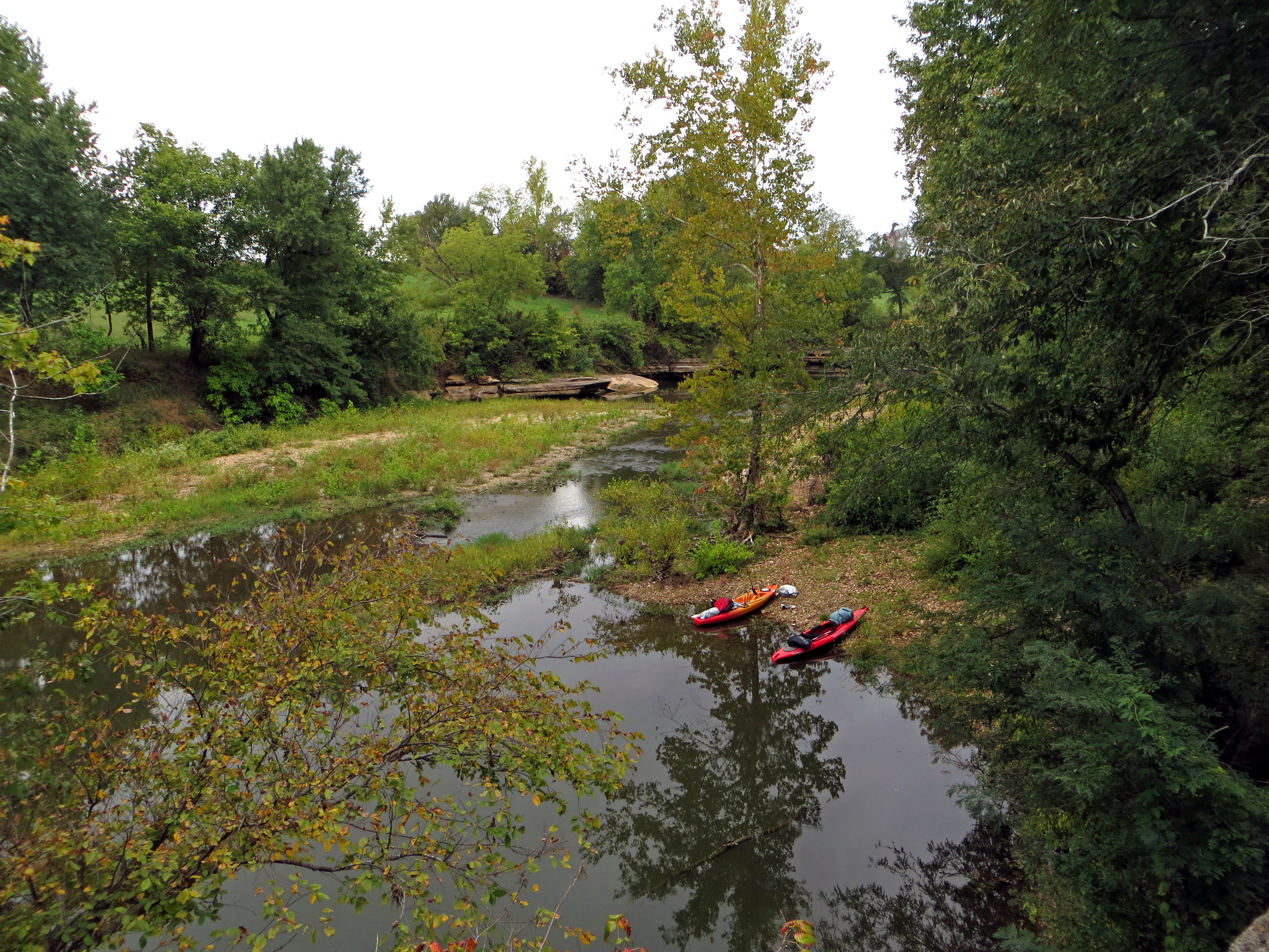
Kayaks on War Eagle Creek
Riding the Bluff Edge
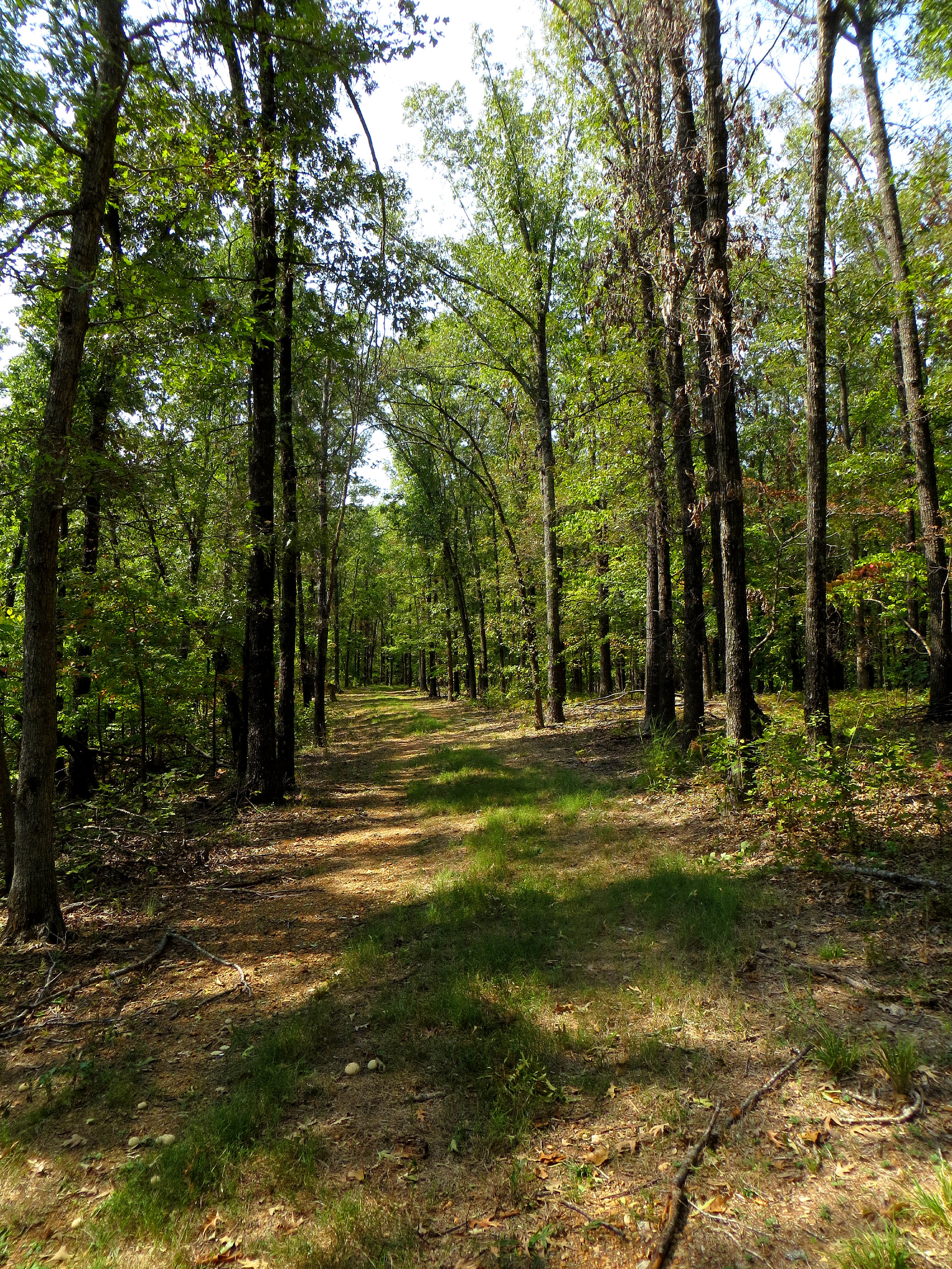
Old Road Forest Trail
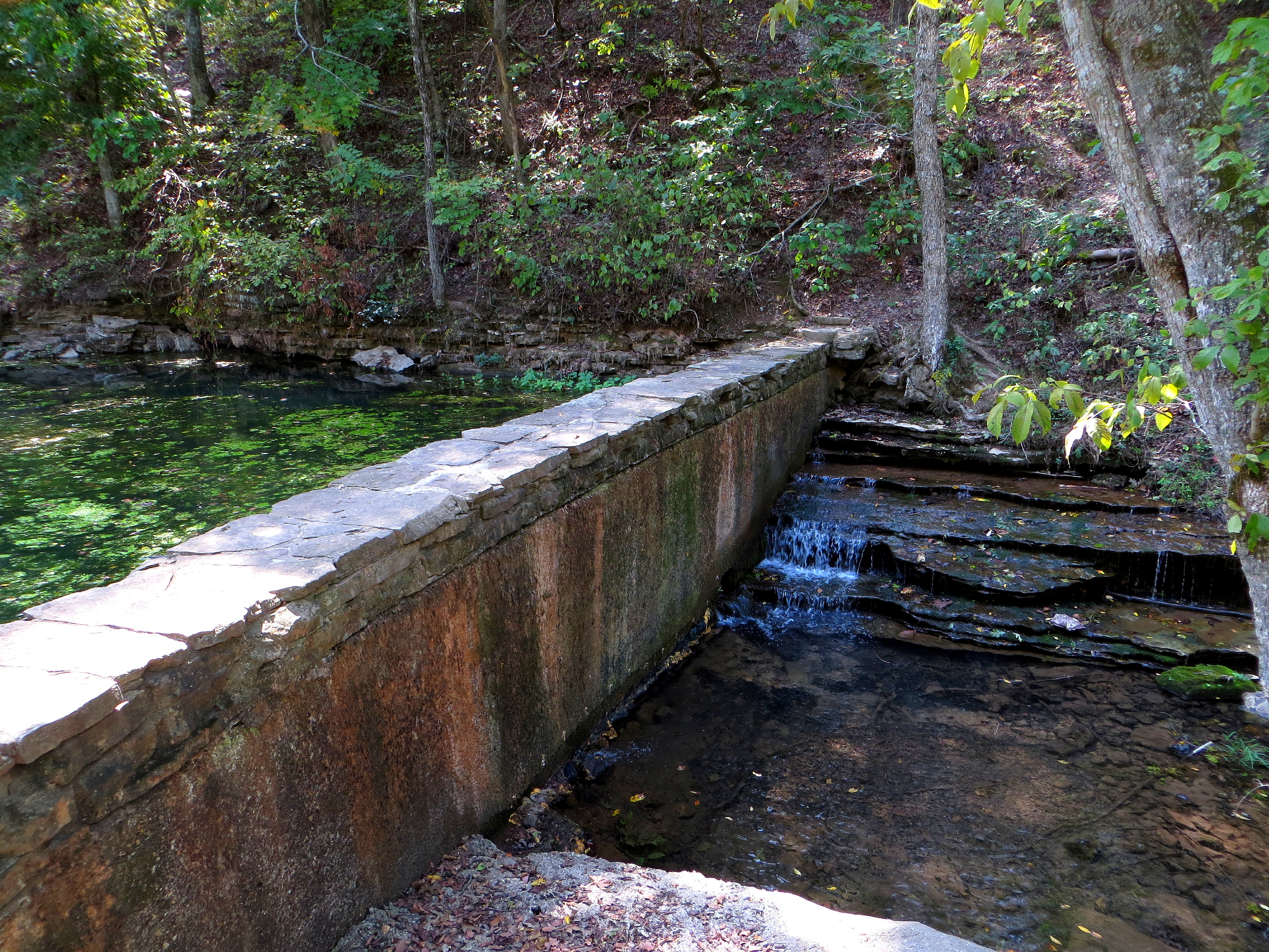
Crossing the Dam
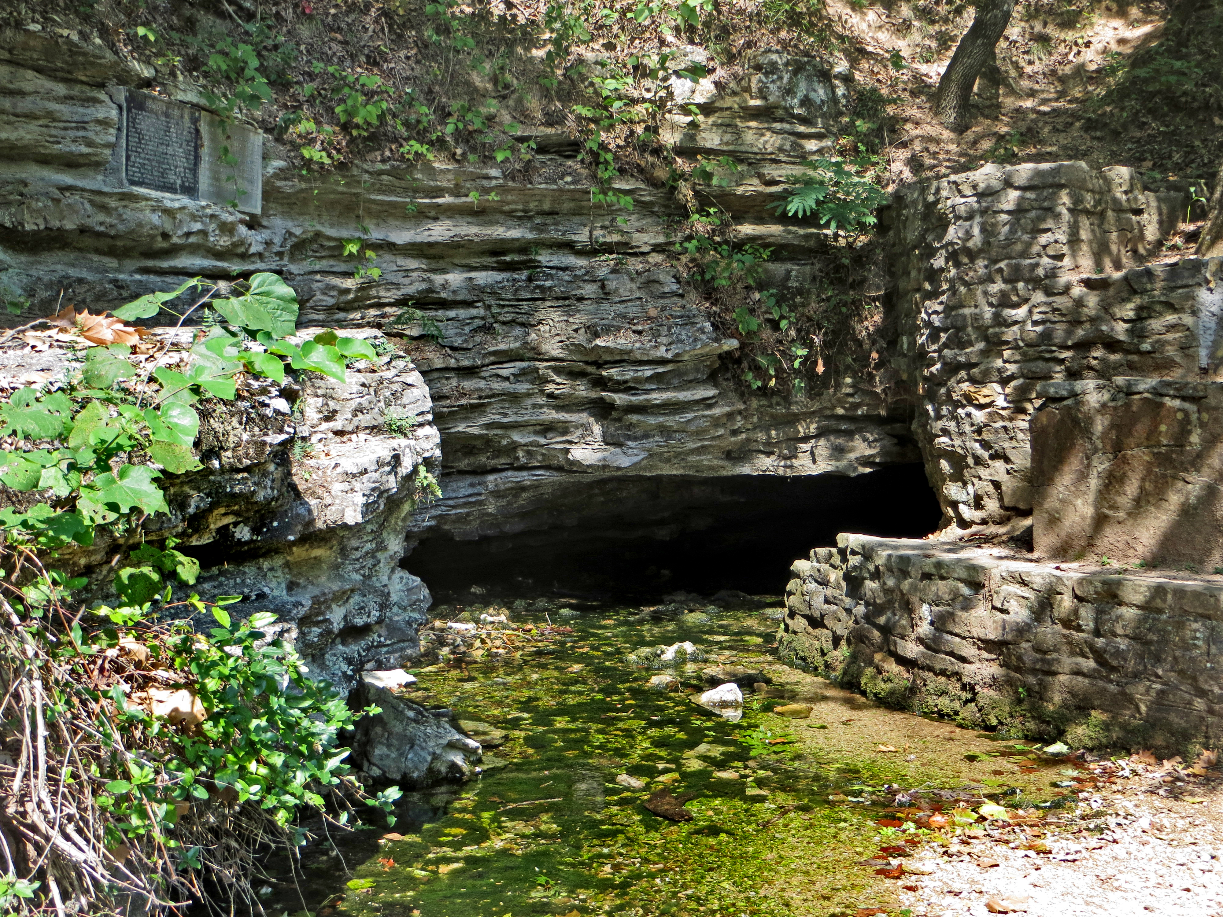
Withrow Spring CloseUp
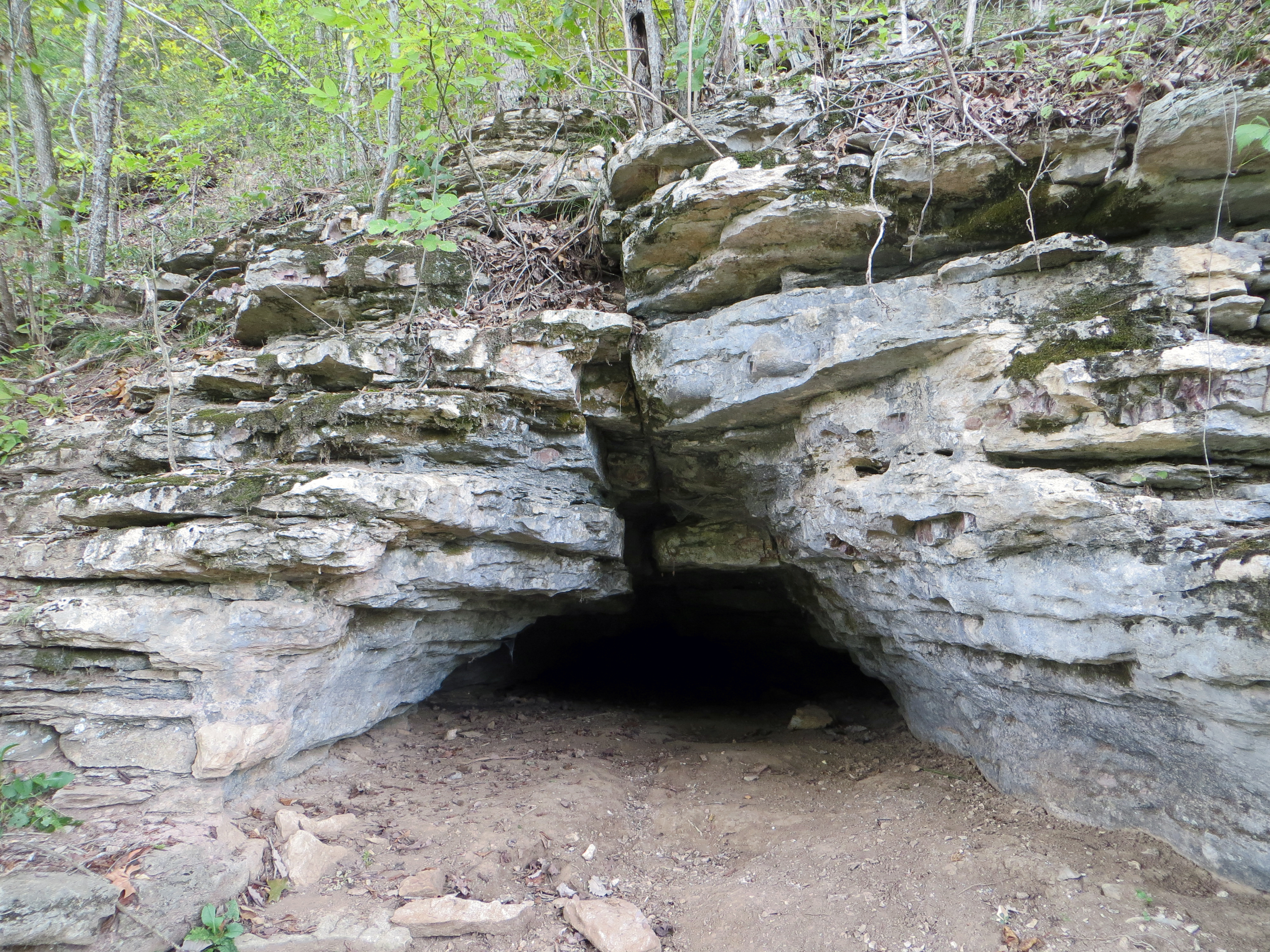
Small Cave Along the War Eagle Trail
Cave on the War Eagle Trail
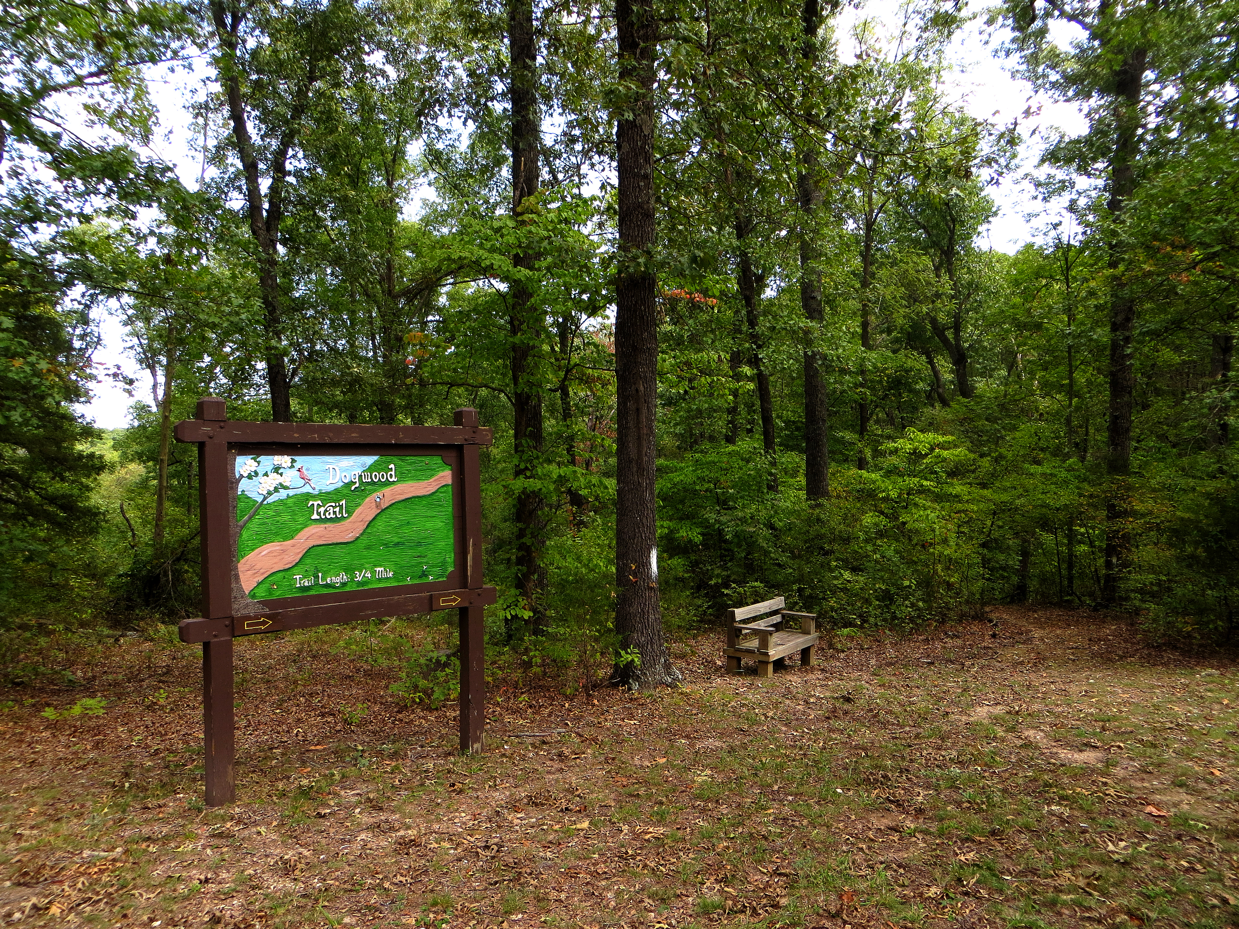
Dogwood Trailhead

Dogwood Trail
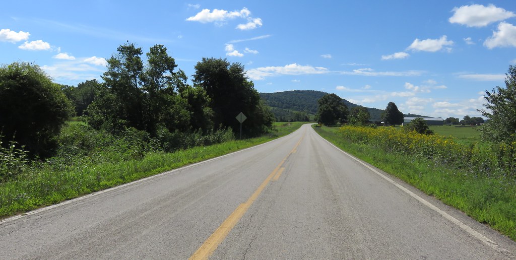
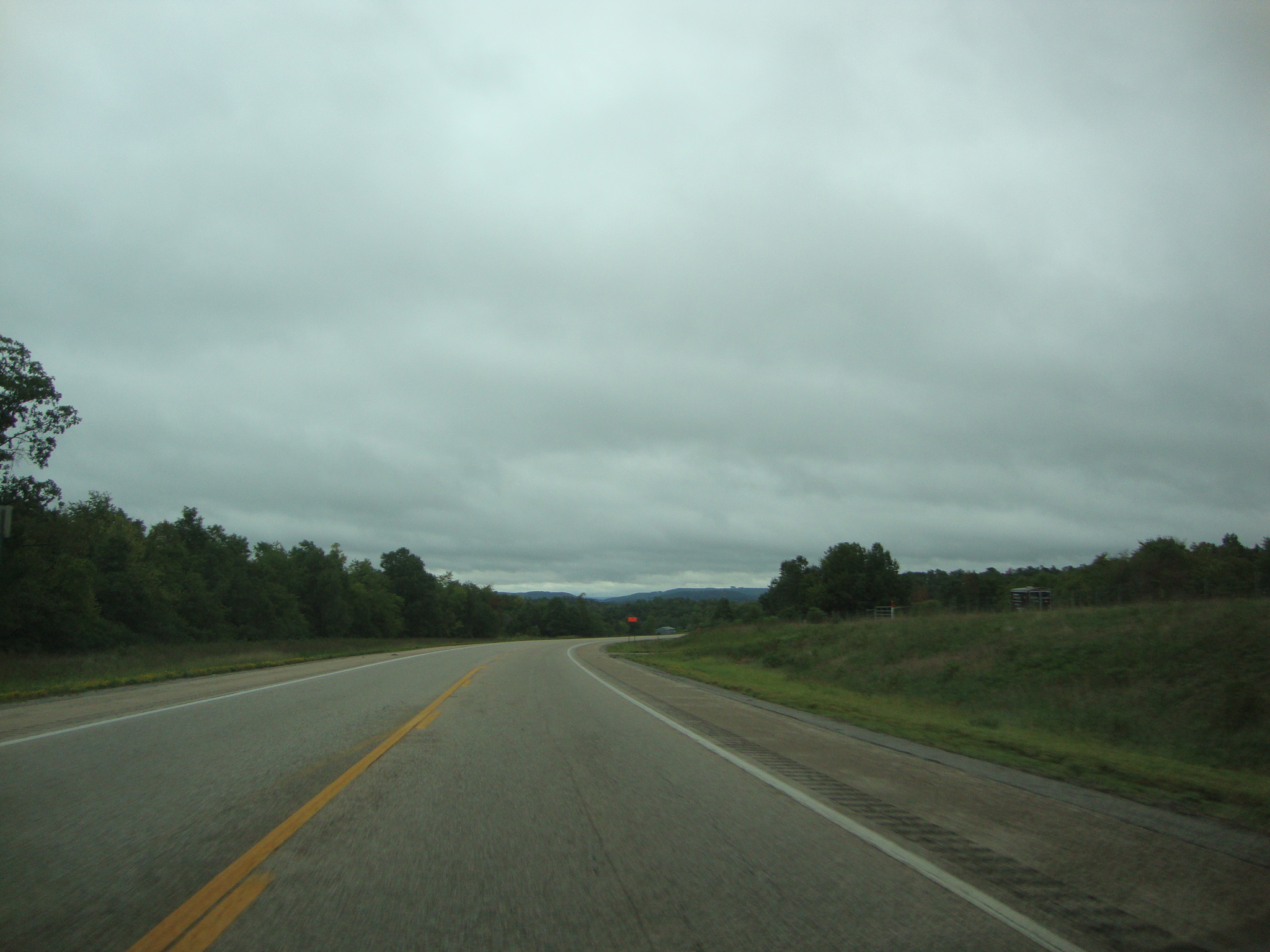
Northwestern Arkansas Landscape (Madison County, Arkansas)
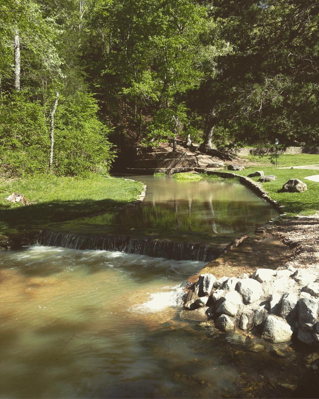
Withrow Springs (Madison County)
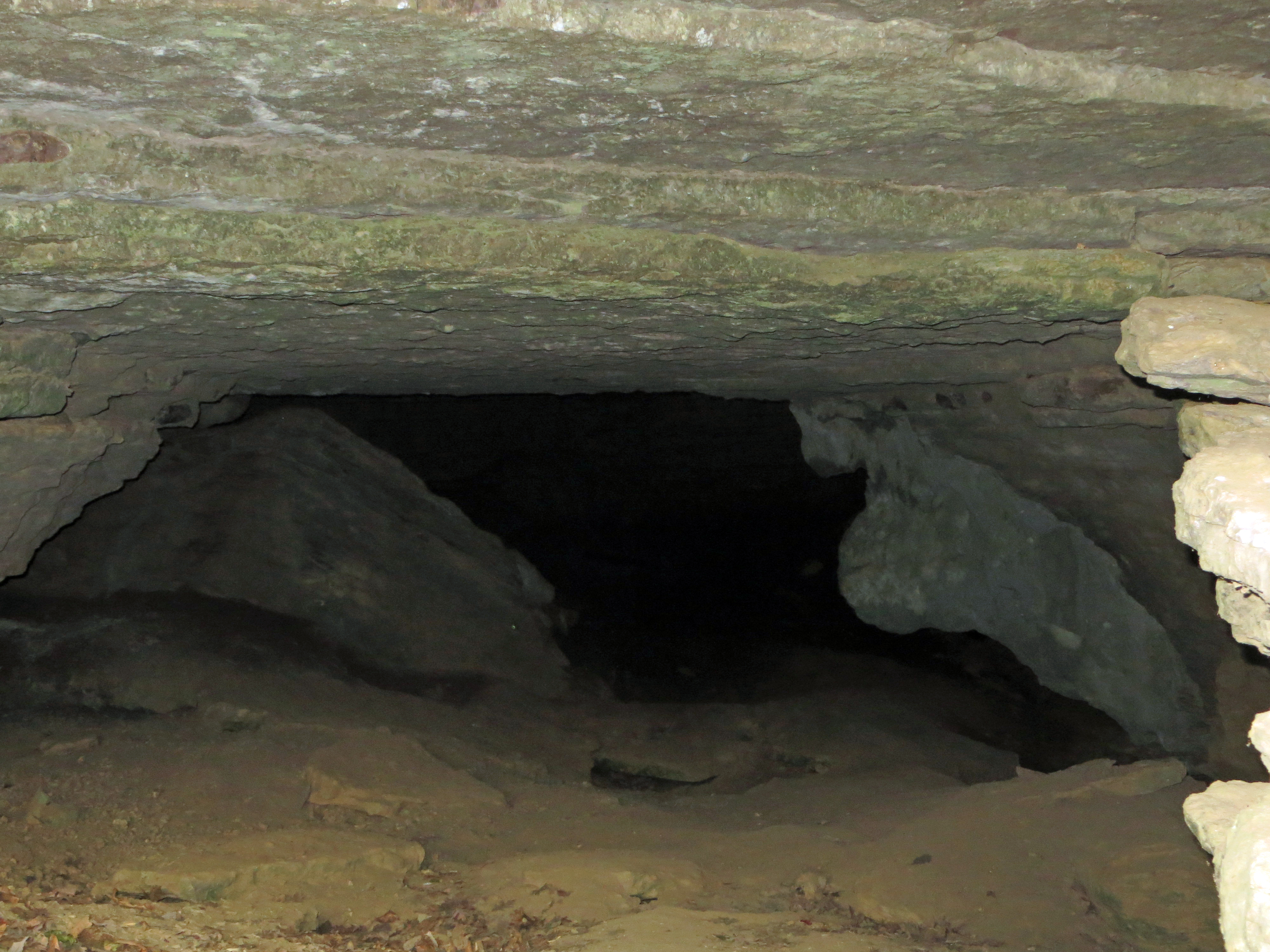
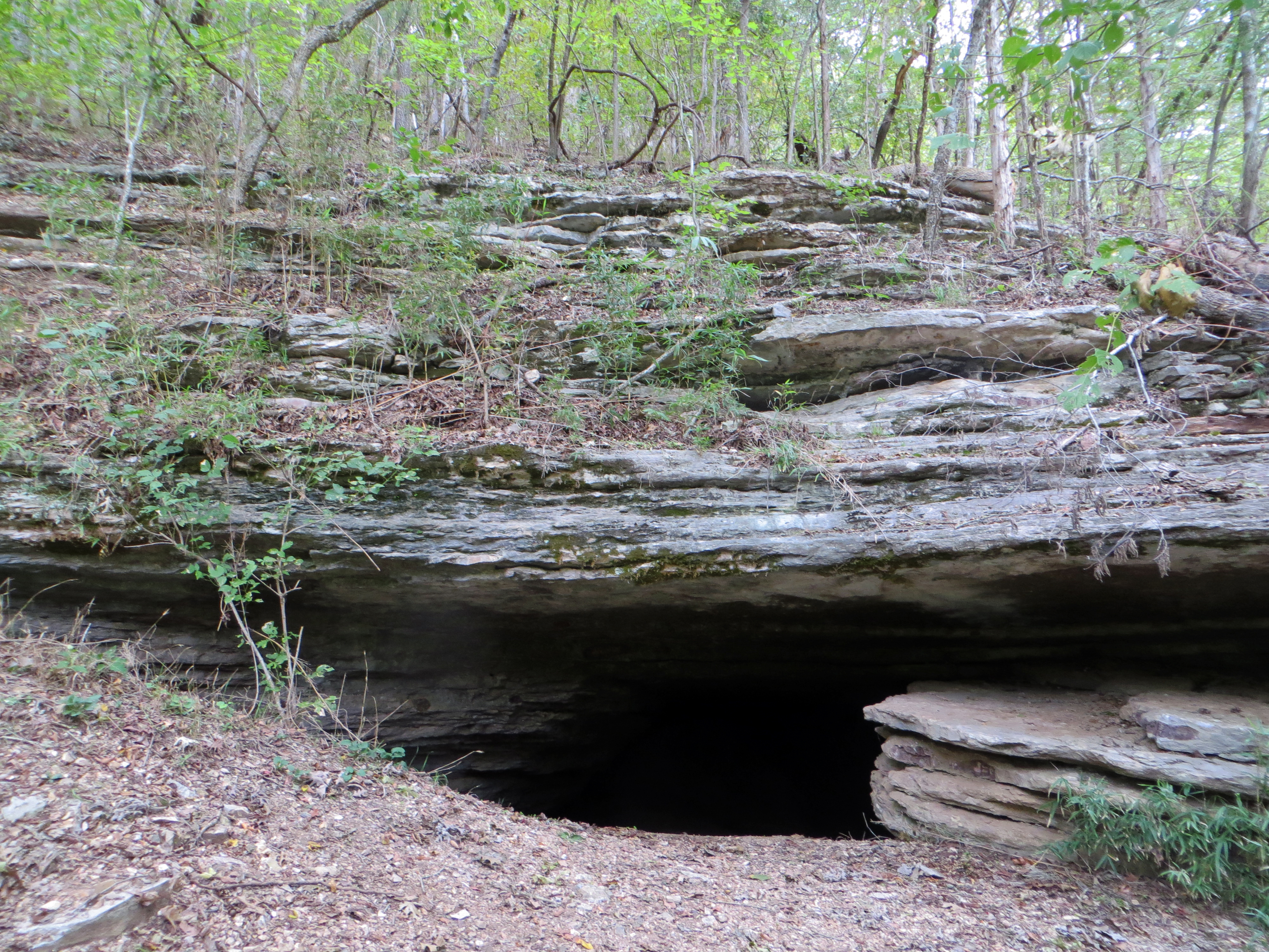
Peering Into the Cave
Topographic Map of Purdy Township, AR, USA
Find elevation by address:

Places in Purdy Township, AR, USA:
Places near Purdy Township, AR, USA:
Purdy
Madison, Huntsville, AR, USA
289 Madison 2000 #6512
24354 Us-412
Kings River Township
AR-21, Kingston, AR, USA
Kingston
Arkansas 74
454 Co Rd 228
AR-, Huntsville, AR, USA
Arkansas 74
AR-21, Berryville, AR, USA
War Eagle Ii Township
3069 Ar-127
289 Co Rd 2015 #6512
Alabam Township
195 Mcelhaney Pl #3057
Saint 1
County Road 1279
War Eagle Township
Recent Searches:
- Elevation of 4 Vale Rd, Sheffield S3 9QX, UK
- Elevation of Keene Point Drive, Keene Point Dr, Grant, AL, USA
- Elevation of State St, Zanesville, OH, USA
- Elevation of Austin Stone Dr, Haslet, TX, USA
- Elevation of Bydgoszcz, Poland
- Elevation of Bydgoszcz, Poland
- Elevation of Calais Dr, Del Mar, CA, USA
- Elevation of Placer Mine Ln, West Jordan, UT, USA
- Elevation of E 63rd St, New York, NY, USA
- Elevation of Elk City, OK, USA