Elevation of AR-23, Huntsville, AR, USA
Location: United States > Arkansas > Madison County > Alabam Township >
Longitude: -93.714901
Latitude: 36.1820899
Elevation: 477m / 1565feet
Barometric Pressure: 96KPa
Elevation Map:
Satellite Map:
Related Photos:
Glade Creek-West, Side

Redbone Antique Mall
Beautiful views from Whitaker Trail ????????????
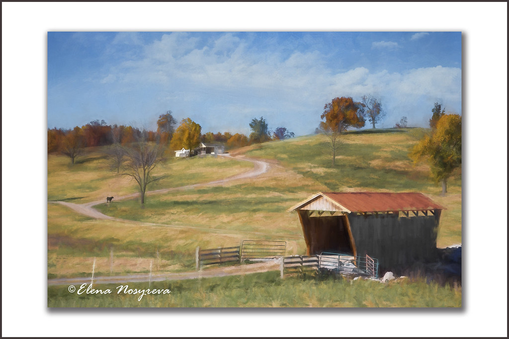
Red roof covered bridge

ONSC 2013

ONSC 2013

IMG_6094.jpg

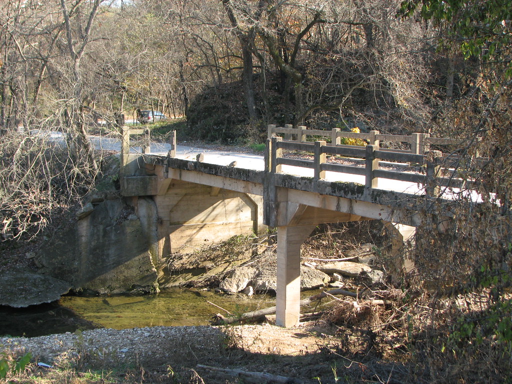
Bridge to Isolation

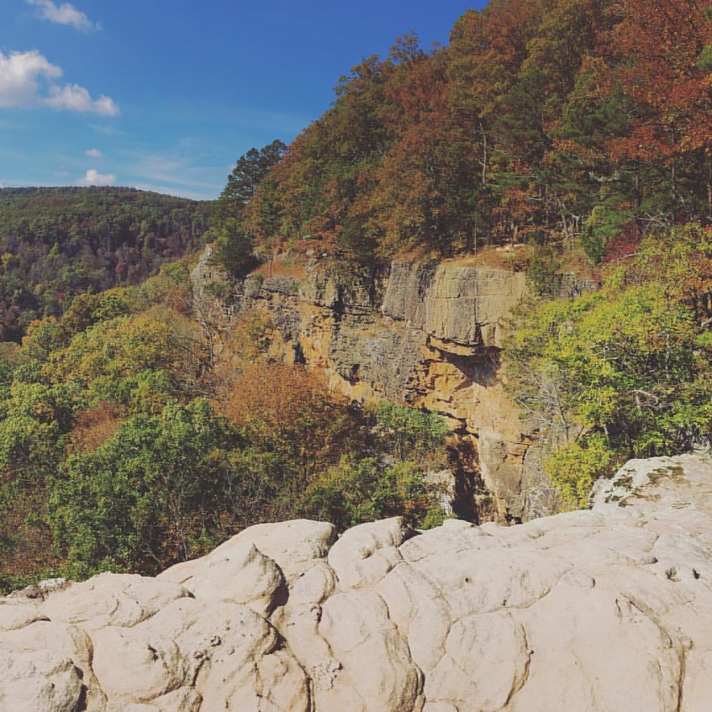
Rockhouse Kings River HDR

Looking in the Deep
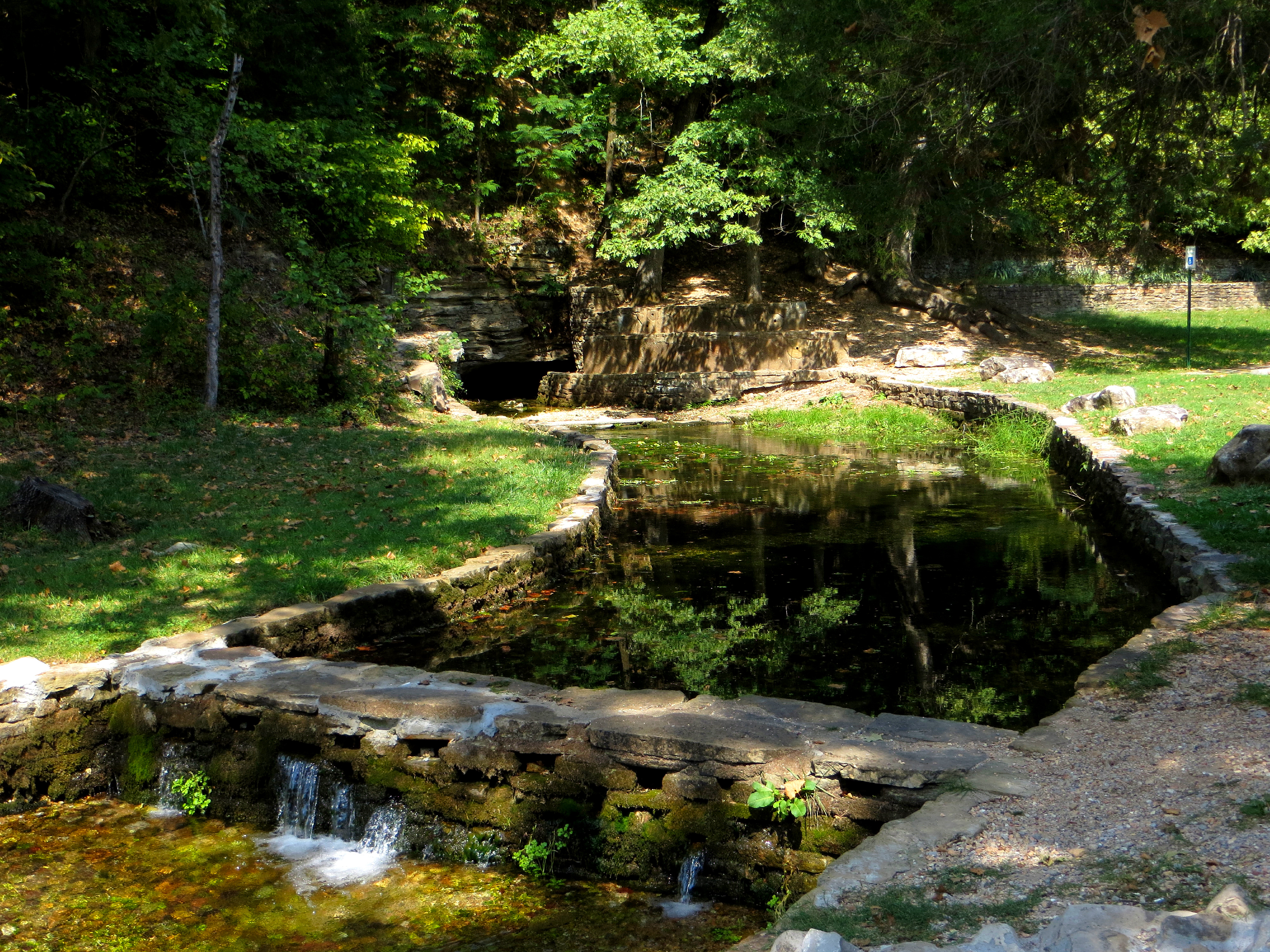
Withrow Spring
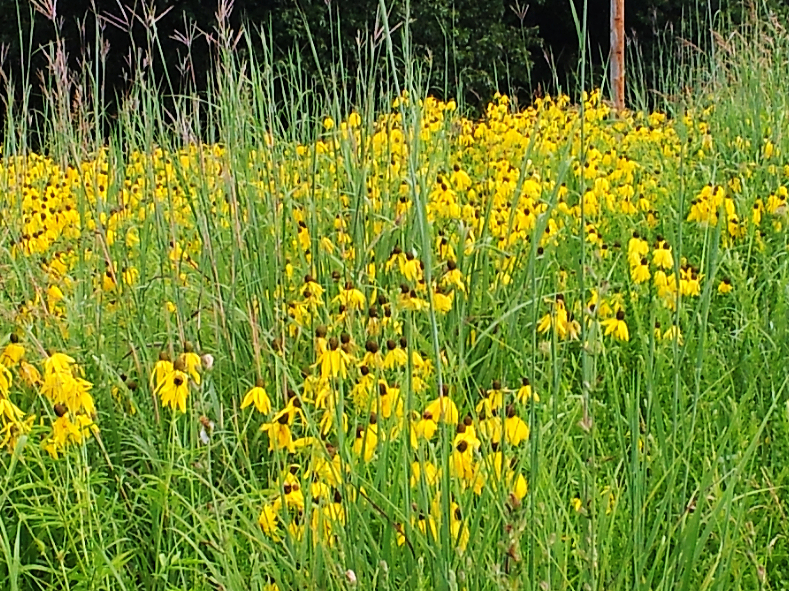
Ratibida pinnata and Big Bluestem
War Eagle Trail

Withrow Springs State Park
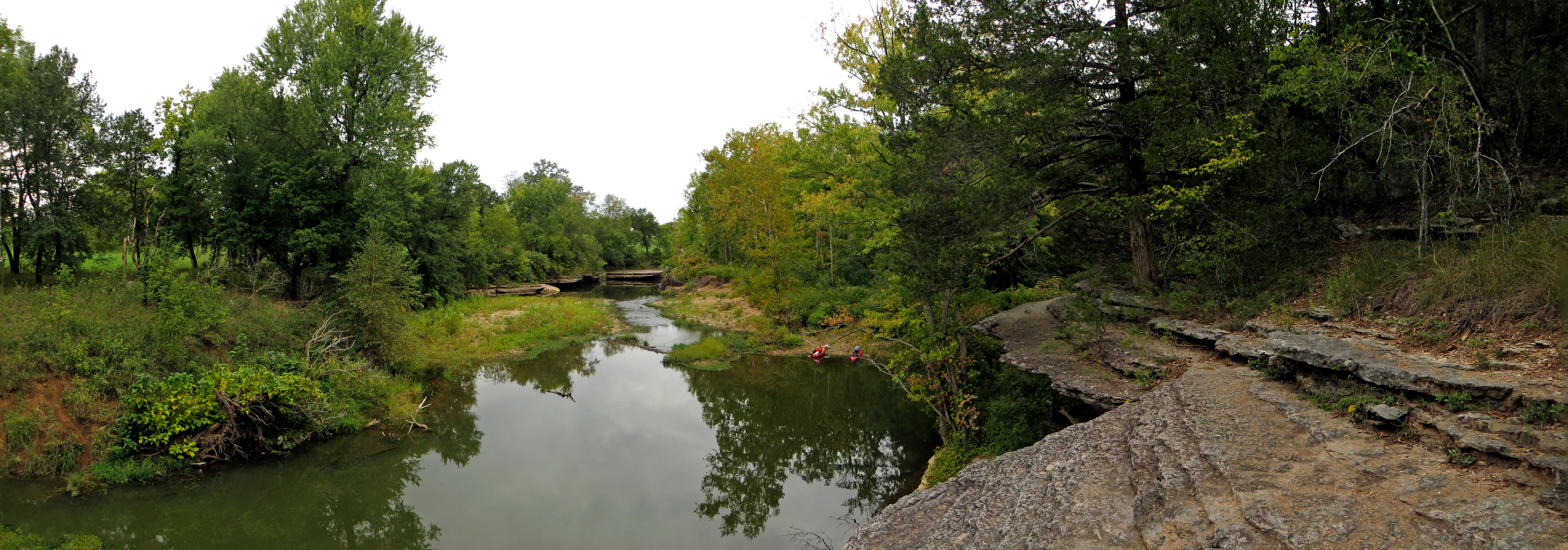
War Eagle Creek with Kayaks

War Eagle Creek Mirroring
Eureka Springs Sept 2012-22

ONSC 2013
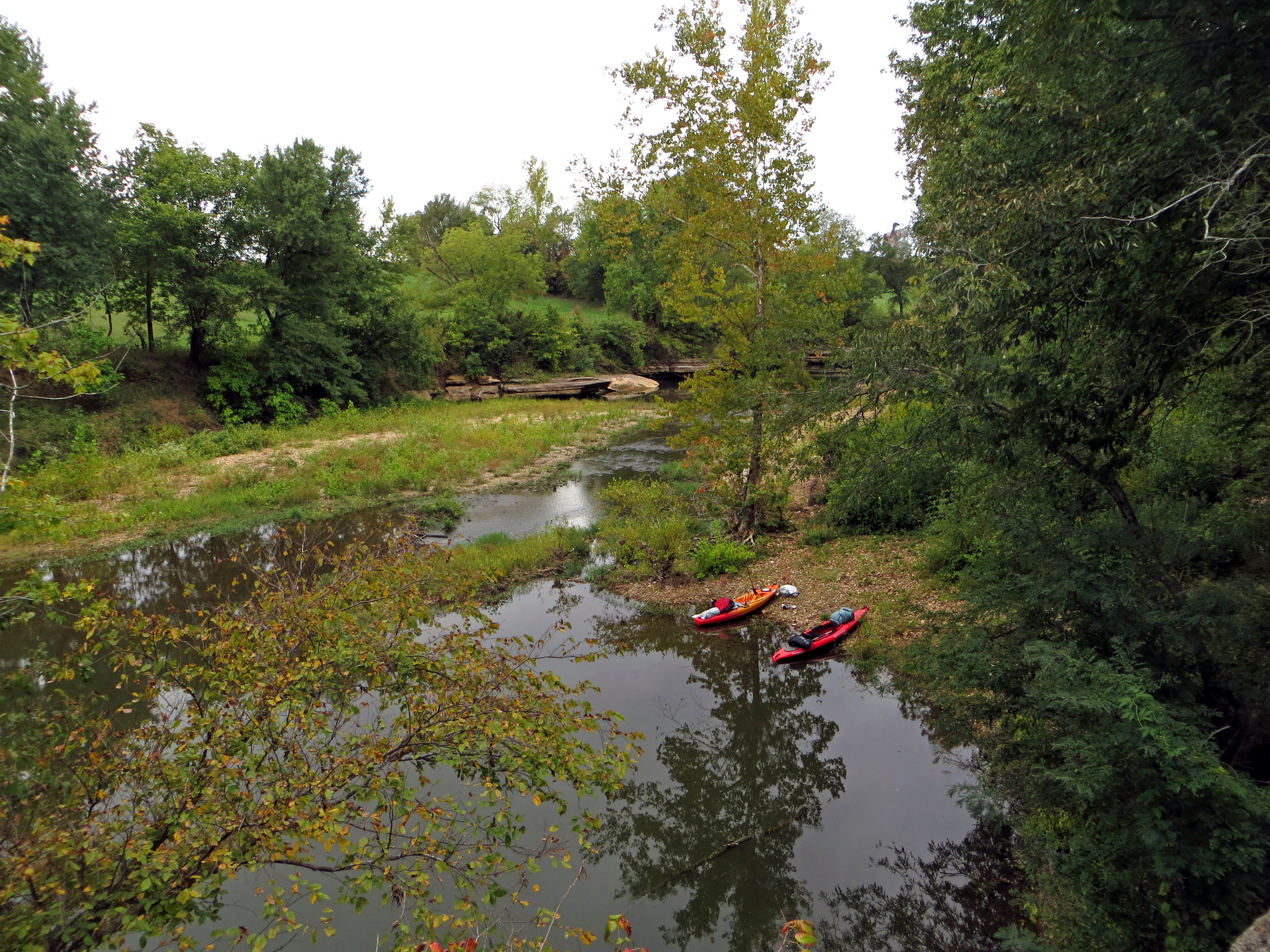
Kayaks on War Eagle Creek
The Old Road II
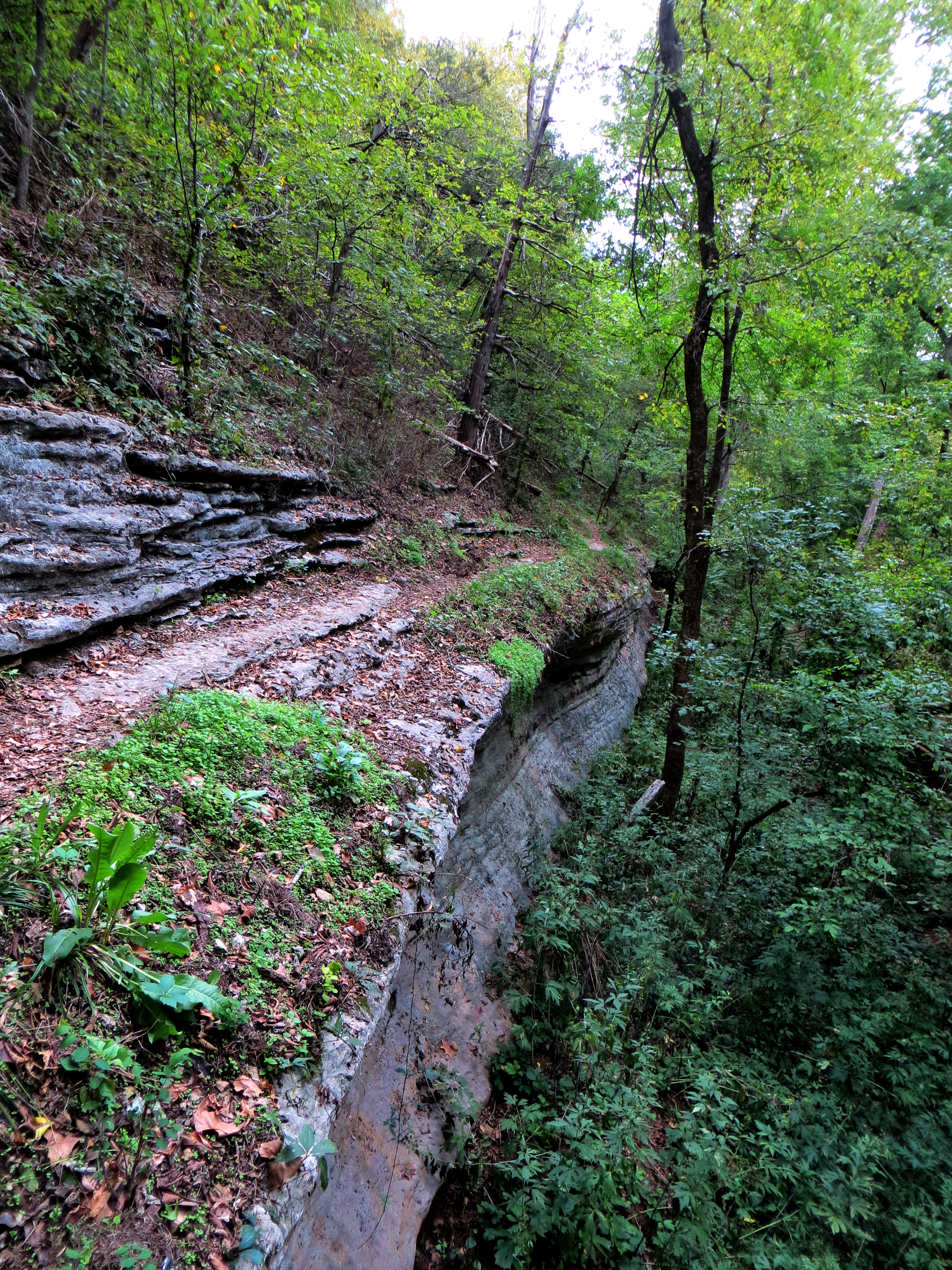
Riding the Bluff Edge
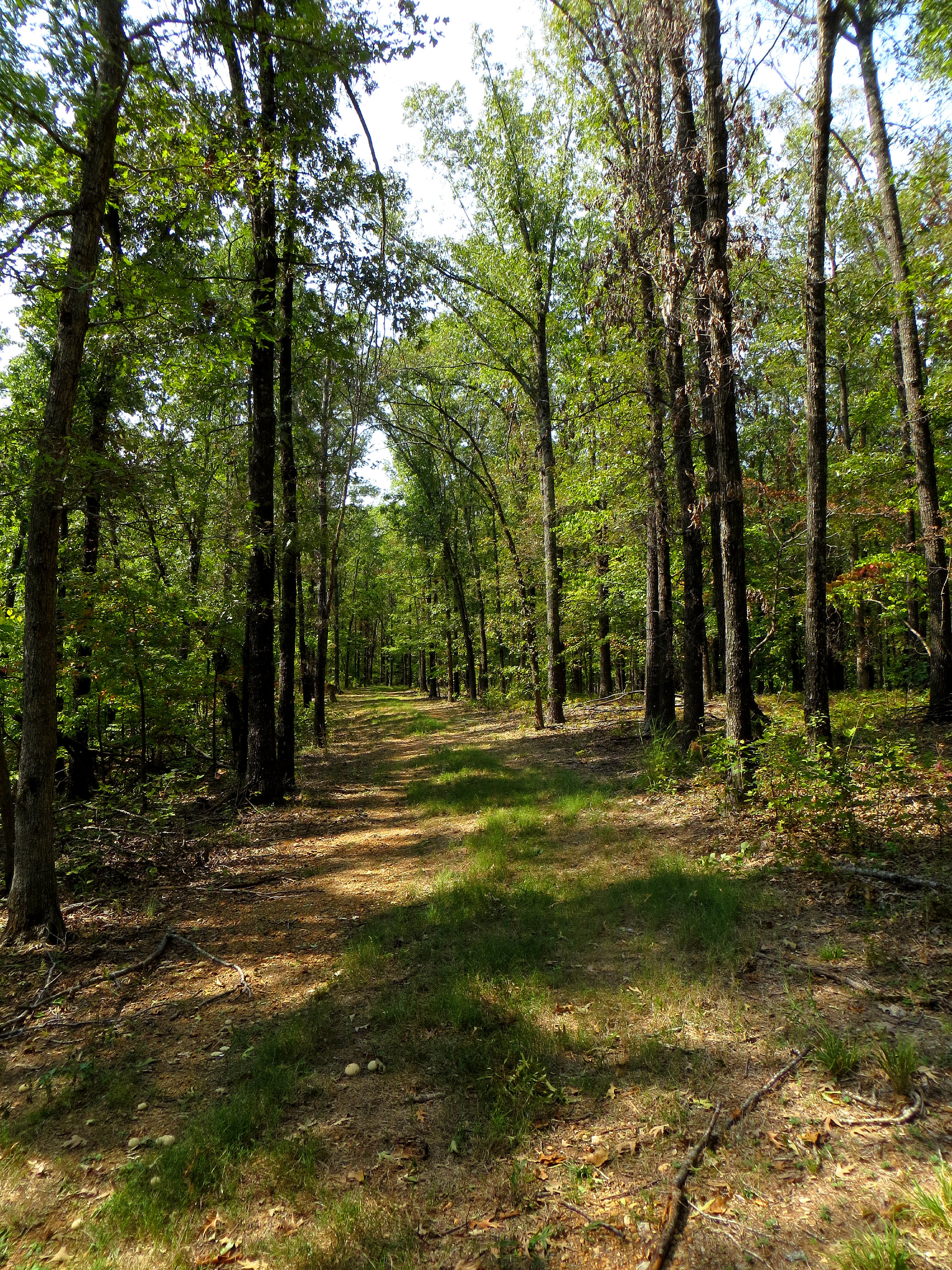
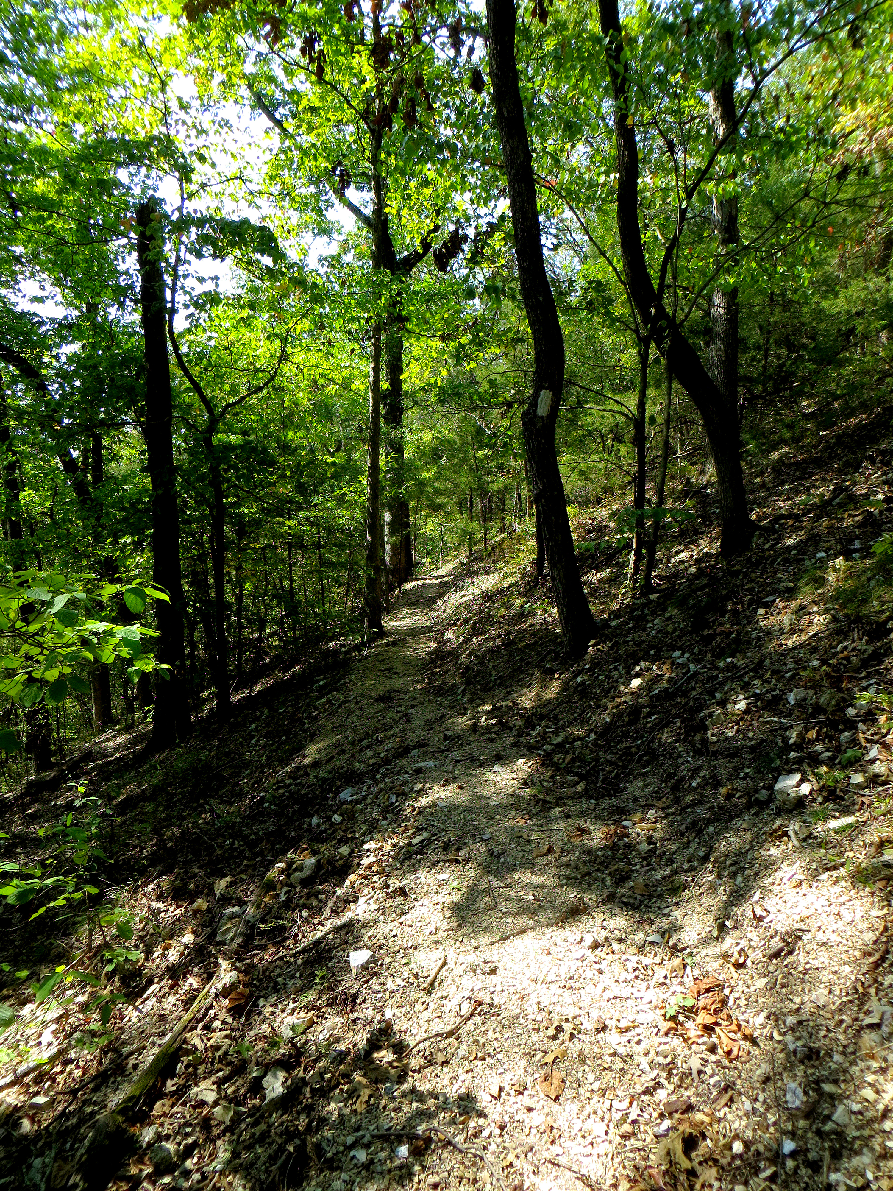
Old Road Forest Trail
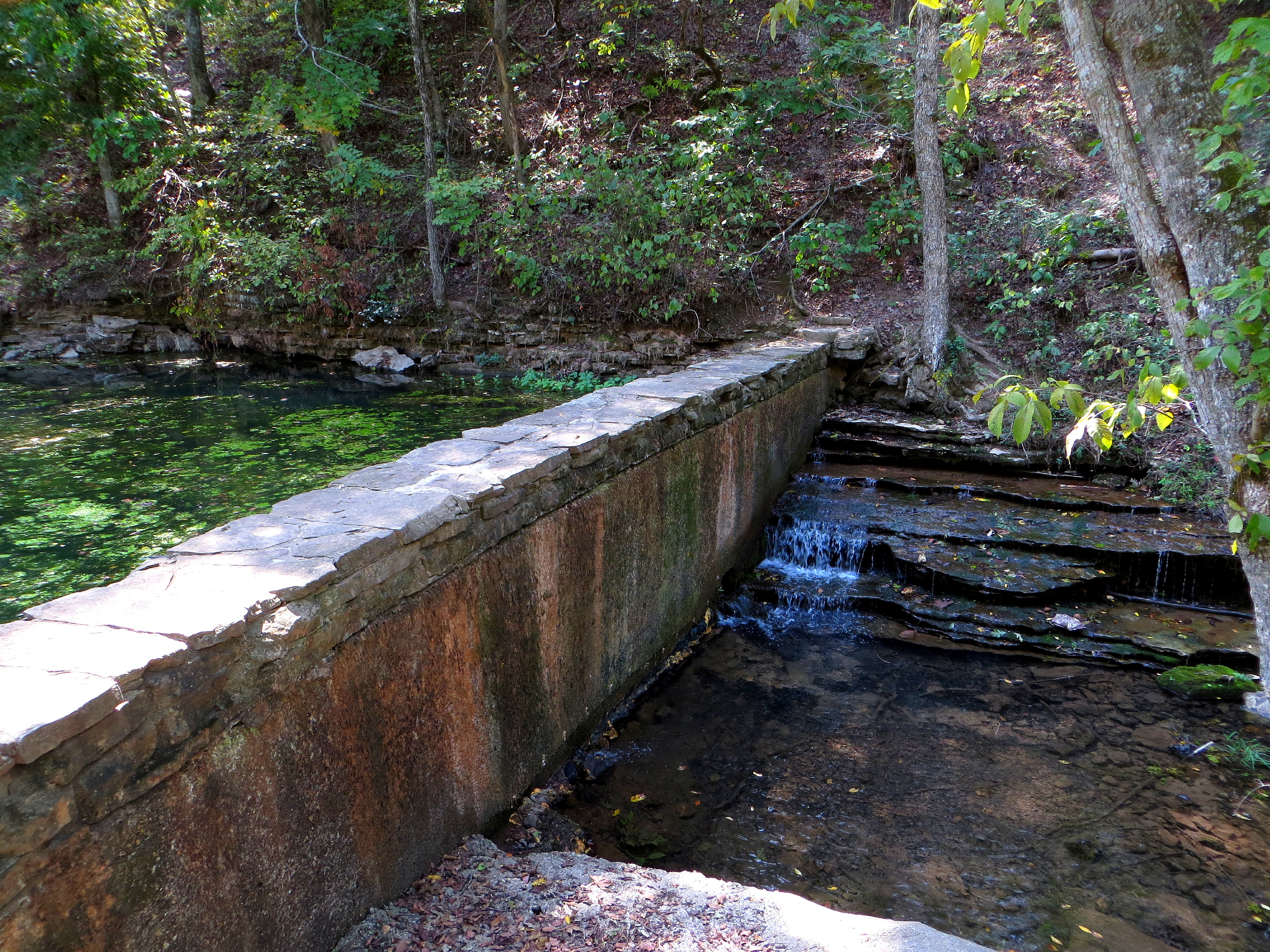
Crossing the Dam
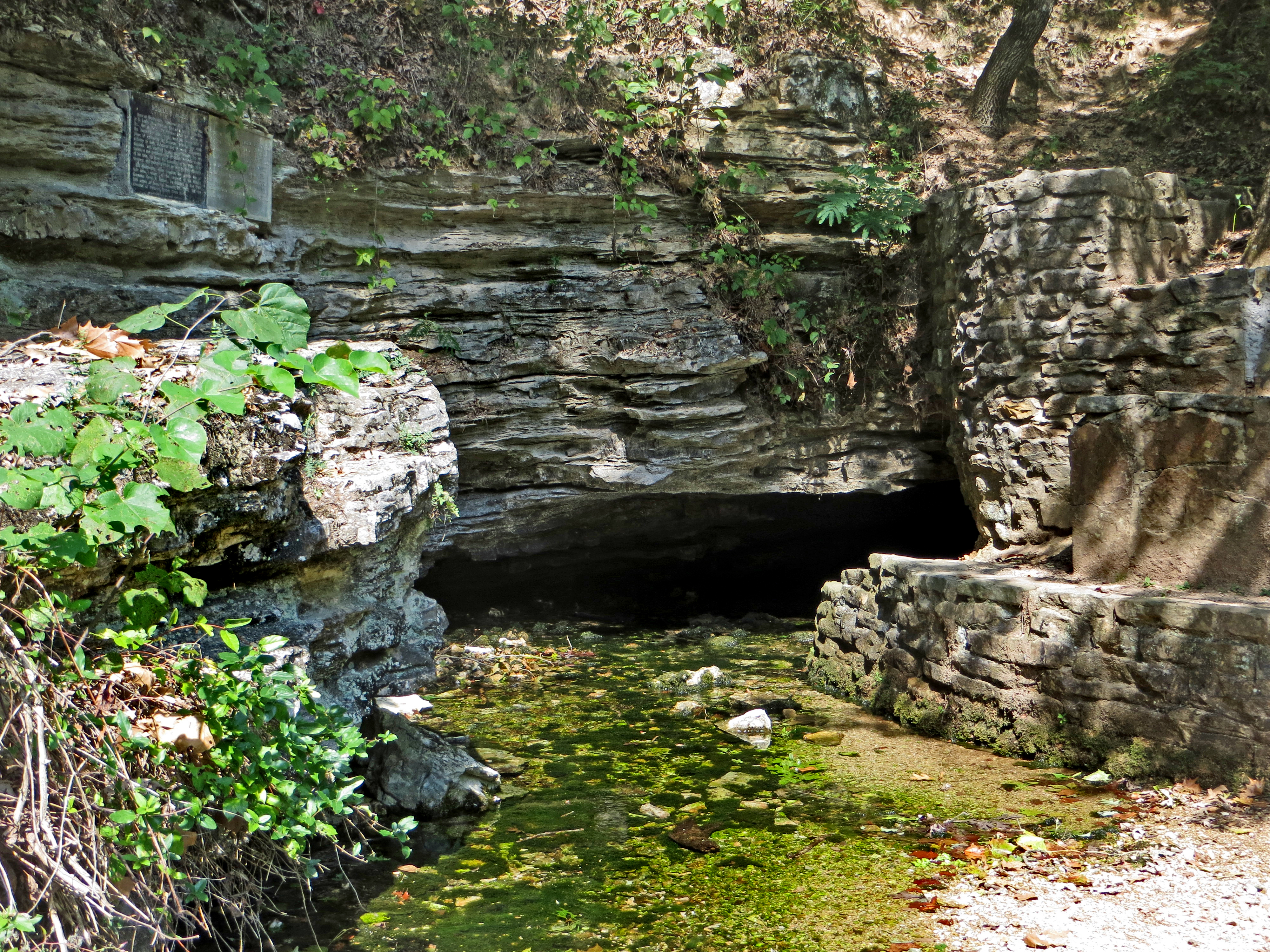
Withrow Spring CloseUp
Topographic Map of AR-23, Huntsville, AR, USA
Find elevation by address:

Places near AR-23, Huntsville, AR, USA:
County Road 1279
Saint 1
3069 Ar-127
Alabam Township
32292 Ar-23
AR-, Huntsville, AR, USA
War Eagle Township
Madison 8653
289 Co Rd 2015 #6512
Countryside Assisted Living
Huntsville
454 Co Rd 228
672 Madison St
195 Mcelhaney Pl #3057
877 Madison 7855
Huntsville Airport
War Eagle Ii Township
County Road 8325
289 Madison 2000 #6512
Arkansas 74
Recent Searches:
- Elevation of Leguwa, Nepal
- Elevation of County Rd, Enterprise, AL, USA
- Elevation of Kolchuginsky District, Vladimir Oblast, Russia
- Elevation of Shustino, Vladimir Oblast, Russia
- Elevation of Lampiasi St, Sarasota, FL, USA
- Elevation of Elwyn Dr, Roanoke Rapids, NC, USA
- Elevation of Congressional Dr, Stevensville, MD, USA
- Elevation of Bellview Rd, McLean, VA, USA
- Elevation of Stage Island Rd, Chatham, MA, USA
- Elevation of Shibuya Scramble Crossing, 21 Udagawacho, Shibuya City, Tokyo -, Japan