Elevation of Clay, WV, USA
Location: United States > West Virginia > Clay County > B >
Longitude: -81.085108
Latitude: 38.4603788
Elevation: 216m / 709feet
Barometric Pressure: 99KPa
Elevation Map:
Satellite Map:
Related Photos:
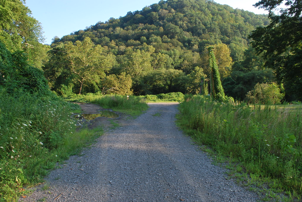
WV Mountain View (1)

WV Mountain View (2)

Clay County Courthouse

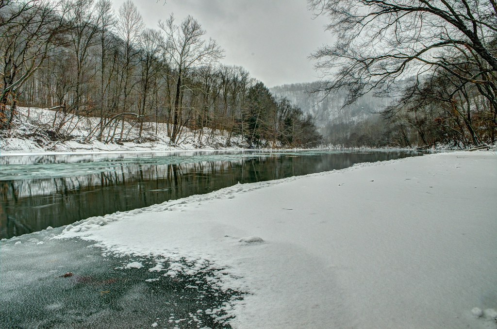
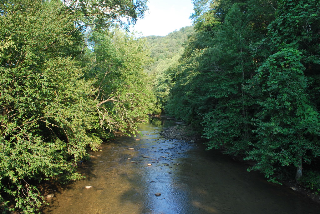
Icy Elk River

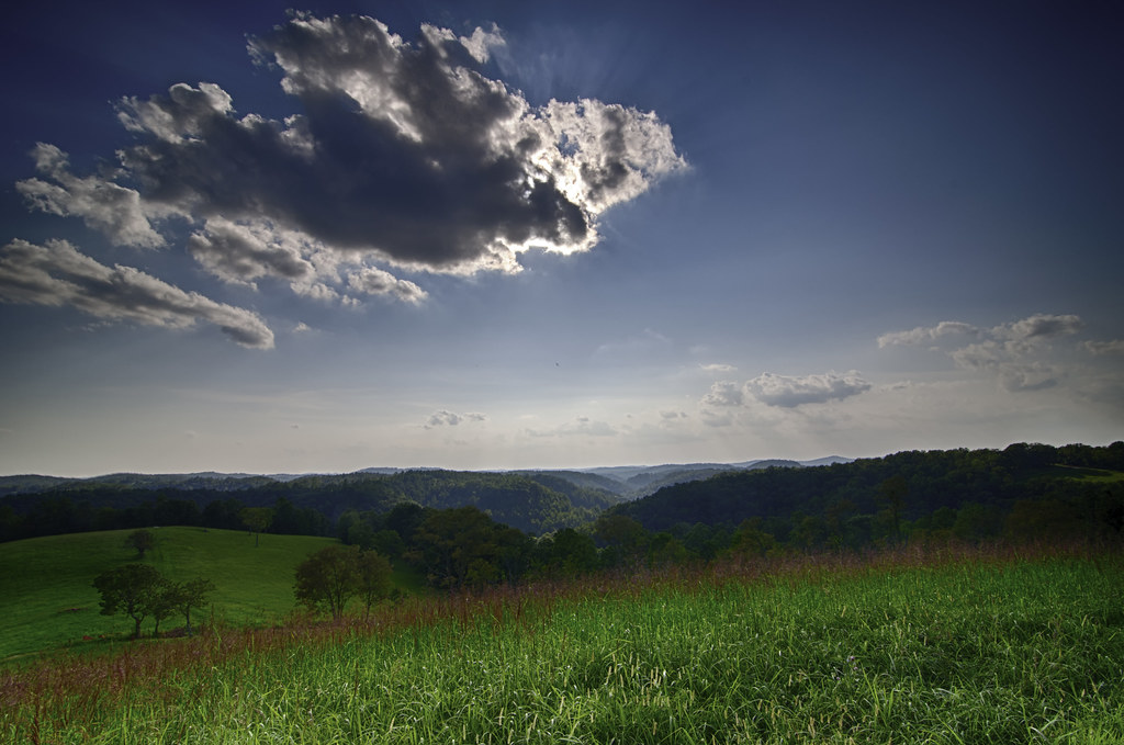
Awesome sky over Auburn this evening.
Winter on the Elk
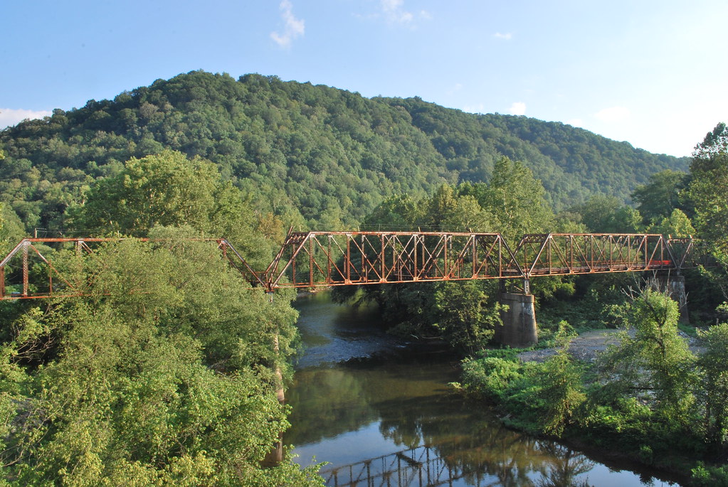
Old CR 11 Elk River Bridge
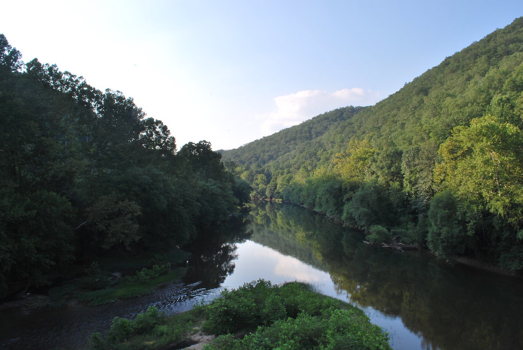
Elk River at Dundon
B&O/BC&G Interchange at Dundon
Buffalo Creek at Dundon

2011-VA3-WVA hill

Exit 40
Topographic Map of Clay, WV, USA
Find elevation by address:

Places in Clay, WV, USA:
Places near Clay, WV, USA:
Clay County Board Of Education
Main St, Clay, WV, USA
Maysel, WV, USA
1676 Triplett Ridge Rd
Maysel
Clay County
Redhouse Road
A
B
Ivydale
Twistabout Road
C
Procious
Big Otter Elementary School
Harrison
Lizemores
Hollywood Rd, Newton, WV, USA
Glen
Duck
40 Nottingham Store Rd, Duck, WV, USA
Recent Searches:
- Elevation of Corso Fratelli Cairoli, 35, Macerata MC, Italy
- Elevation of Tallevast Rd, Sarasota, FL, USA
- Elevation of 4th St E, Sonoma, CA, USA
- Elevation of Black Hollow Rd, Pennsdale, PA, USA
- Elevation of Oakland Ave, Williamsport, PA, USA
- Elevation of Pedrógão Grande, Portugal
- Elevation of Klee Dr, Martinsburg, WV, USA
- Elevation of Via Roma, Pieranica CR, Italy
- Elevation of Tavkvetili Mountain, Georgia
- Elevation of Hartfords Bluff Cir, Mt Pleasant, SC, USA