Elevation of Lizemores, WV, USA
Location: United States > West Virginia > Clay County > C >
Longitude: -81.175109
Latitude: 38.3339926
Elevation: 303m / 994feet
Barometric Pressure: 98KPa
Elevation Map:
Satellite Map:
Related Photos:

Clay County Courthouse

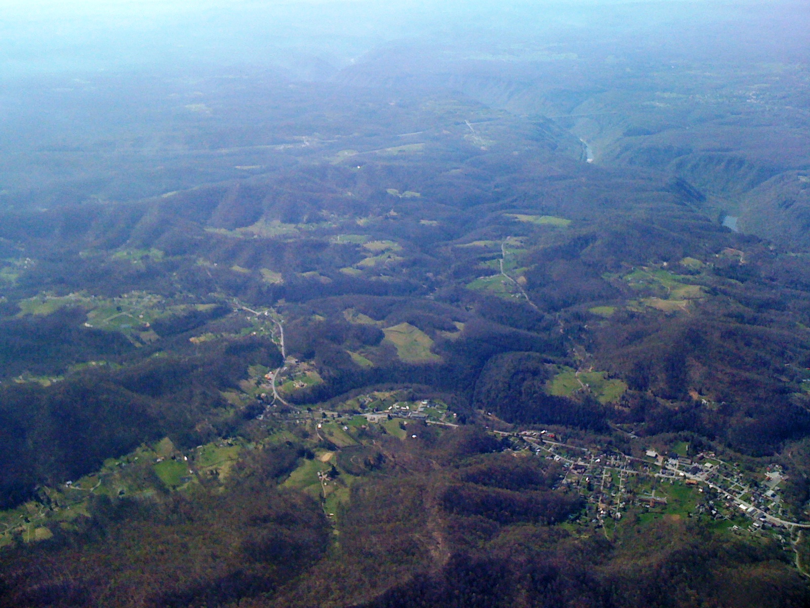
Hinckle Ridge Panorama

Day 3 of the trip 125
Day 3 of the trip 145
Day 3 of the trip 190

Icy Elk River

The White Tree

Winter on the Elk

Poker run

11 11 25 Hummer Mud 1

Poker run

11 11 24 Hummer Mud 5

11 11 24 Hummer Mud 2

11 11 24 Hummer Mud 3
Topographic Map of Lizemores, WV, USA
Find elevation by address:

Places near Lizemores, WV, USA:
C
Dixie Hwy, Lizemores, WV, USA
West Virginia 16
Glen
Swiss
S Swiss Rd, Swiss, WV, USA
Jefferson
Pond Gap
Clay County
Maysel, WV, USA
Clay
Twistabout Road
Clay County Board Of Education
Maysel
Procious
275 Grant St
Gauley Bridge
175 Grant St
Ansted, WV, USA
Main St, Clay, WV, USA
Recent Searches:
- Elevation of Congressional Dr, Stevensville, MD, USA
- Elevation of Bellview Rd, McLean, VA, USA
- Elevation of Stage Island Rd, Chatham, MA, USA
- Elevation of Shibuya Scramble Crossing, 21 Udagawacho, Shibuya City, Tokyo -, Japan
- Elevation of Jadagoniai, Kaunas District Municipality, Lithuania
- Elevation of Pagonija rock, Kranto 7-oji g. 8"N, Kaunas, Lithuania
- Elevation of Co Rd 87, Jamestown, CO, USA
- Elevation of Tenjo, Cundinamarca, Colombia
- Elevation of Côte-des-Neiges, Montreal, QC H4A 3J6, Canada
- Elevation of Bobcat Dr, Helena, MT, USA