Elevation of B, WV, USA
Location: United States > West Virginia > Clay County >
Longitude: -81.009206
Latitude: 38.4124413
Elevation: 361m / 1184feet
Barometric Pressure: 97KPa
Elevation Map:
Satellite Map:
Related Photos:
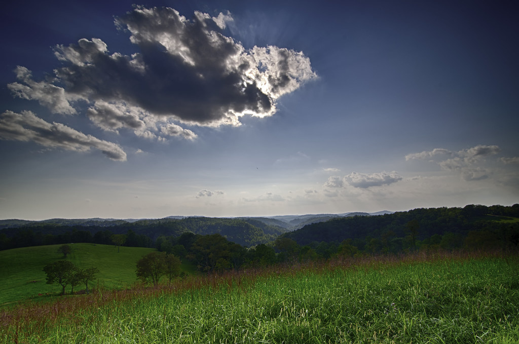
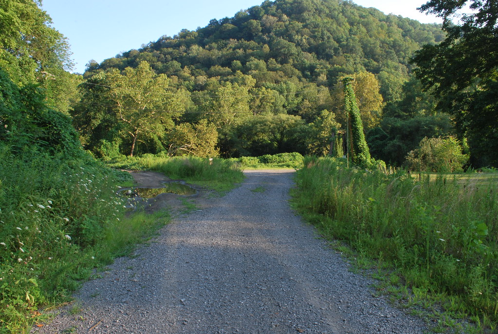
WV Mountain View (1)

WV Mountain View (2)

Clay County Courthouse

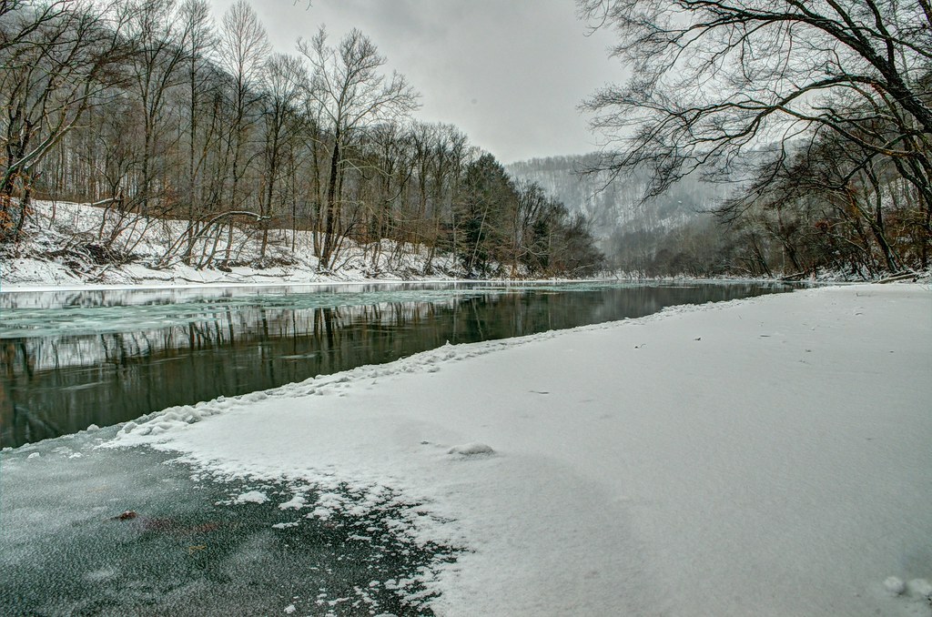
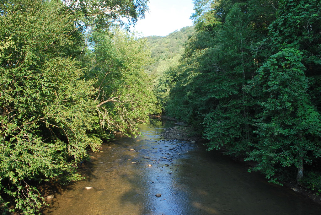
Icy Elk River
Winter on the Elk
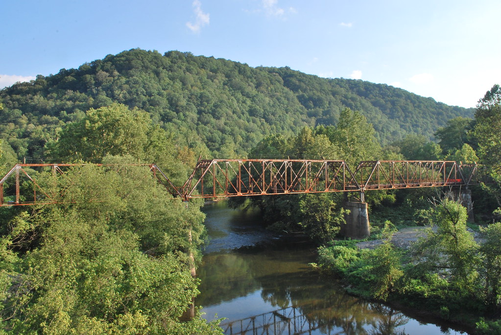
Old CR 11 Elk River Bridge
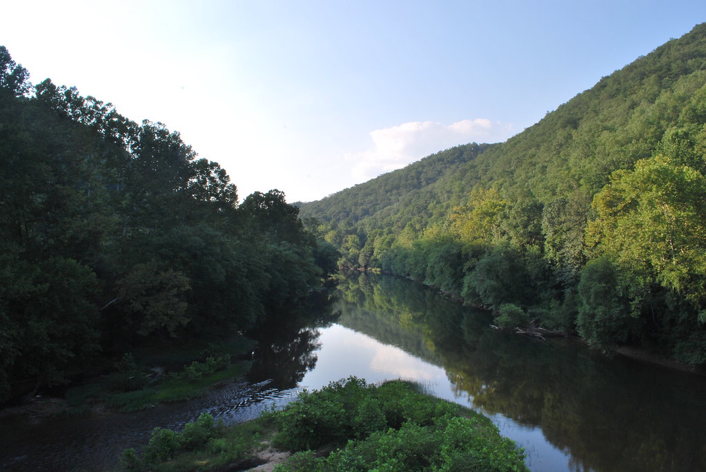
Elk River at Dundon
B&O/BC&G Interchange at Dundon
Buffalo Creek at Dundon
Topographic Map of B, WV, USA
Find elevation by address:

Places in B, WV, USA:
Places near B, WV, USA:
1676 Triplett Ridge Rd
Clay County Board Of Education
Clay
Main St, Clay, WV, USA
Redhouse Road
Clay County
Harrison
Maysel, WV, USA
Ivydale
Maysel
A
Drennen
Widen
Summersville
Big Otter Elementary School
C
Jefferson
Lizemores
Duck
40 Nottingham Store Rd, Duck, WV, USA
Recent Searches:
- Elevation of Corso Fratelli Cairoli, 35, Macerata MC, Italy
- Elevation of Tallevast Rd, Sarasota, FL, USA
- Elevation of 4th St E, Sonoma, CA, USA
- Elevation of Black Hollow Rd, Pennsdale, PA, USA
- Elevation of Oakland Ave, Williamsport, PA, USA
- Elevation of Pedrógão Grande, Portugal
- Elevation of Klee Dr, Martinsburg, WV, USA
- Elevation of Via Roma, Pieranica CR, Italy
- Elevation of Tavkvetili Mountain, Georgia
- Elevation of Hartfords Bluff Cir, Mt Pleasant, SC, USA