Elevation of Claudville, VA, USA
Location: United States > Virginia > Patrick County > Dan River >
Longitude: -80.418393
Latitude: 36.589581
Elevation: 444m / 1457feet
Barometric Pressure: 96KPa
Elevation Map:
Satellite Map:
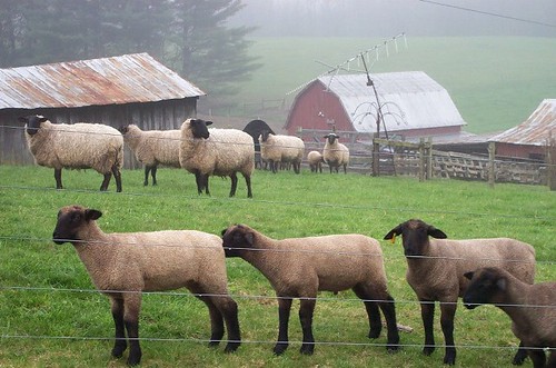
Related Photos:

Starry swirl on the Blue Ridge Parkway.

Waning Cresent
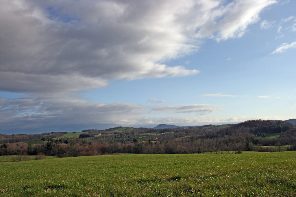
The Rolling Blue Ridge Mountians
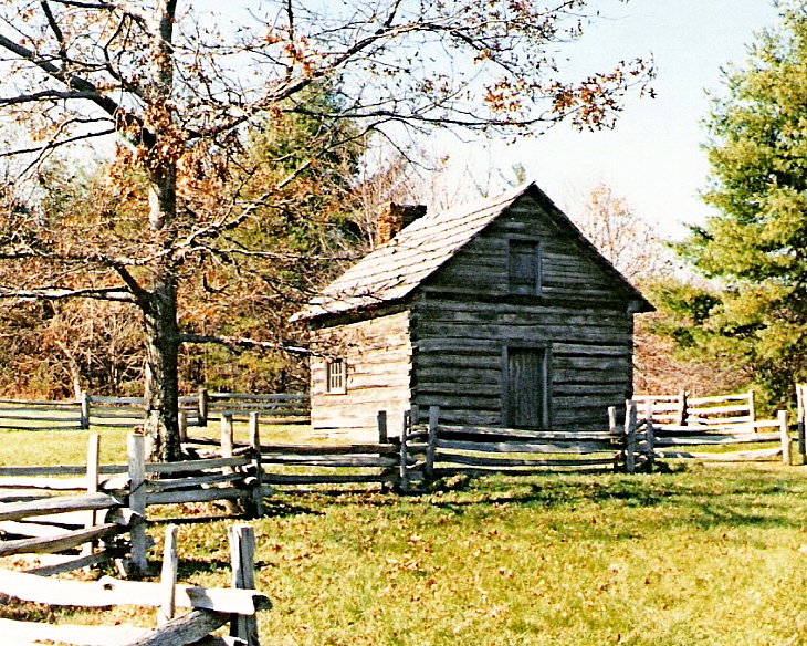
Puckett Cabin
2939 View Pilot Mountain Img_14100
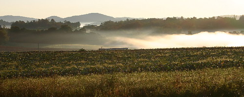
the morning fog
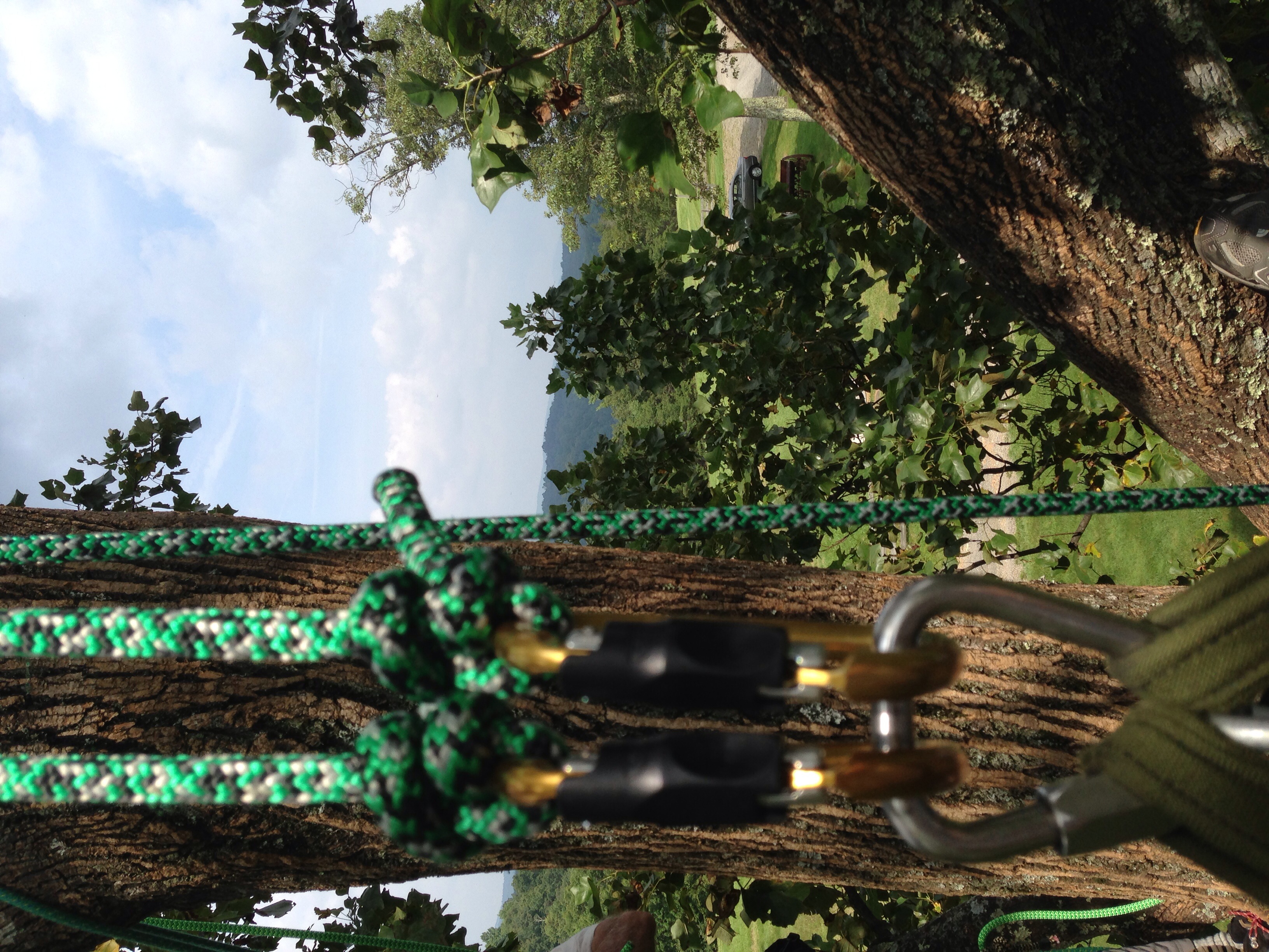
View from the top, with gear
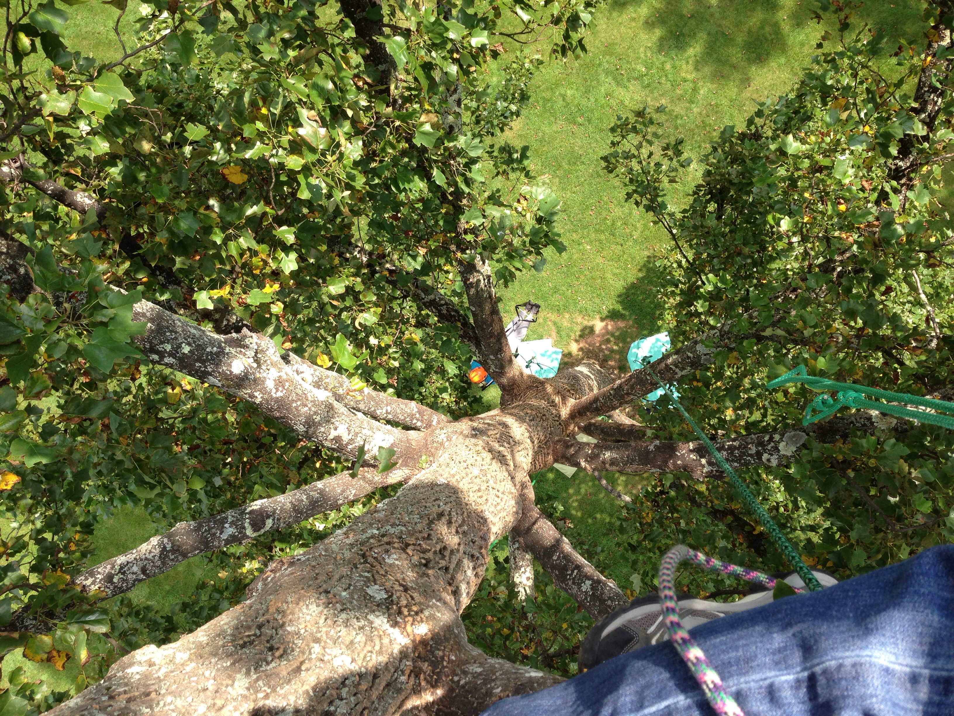
View down from the top
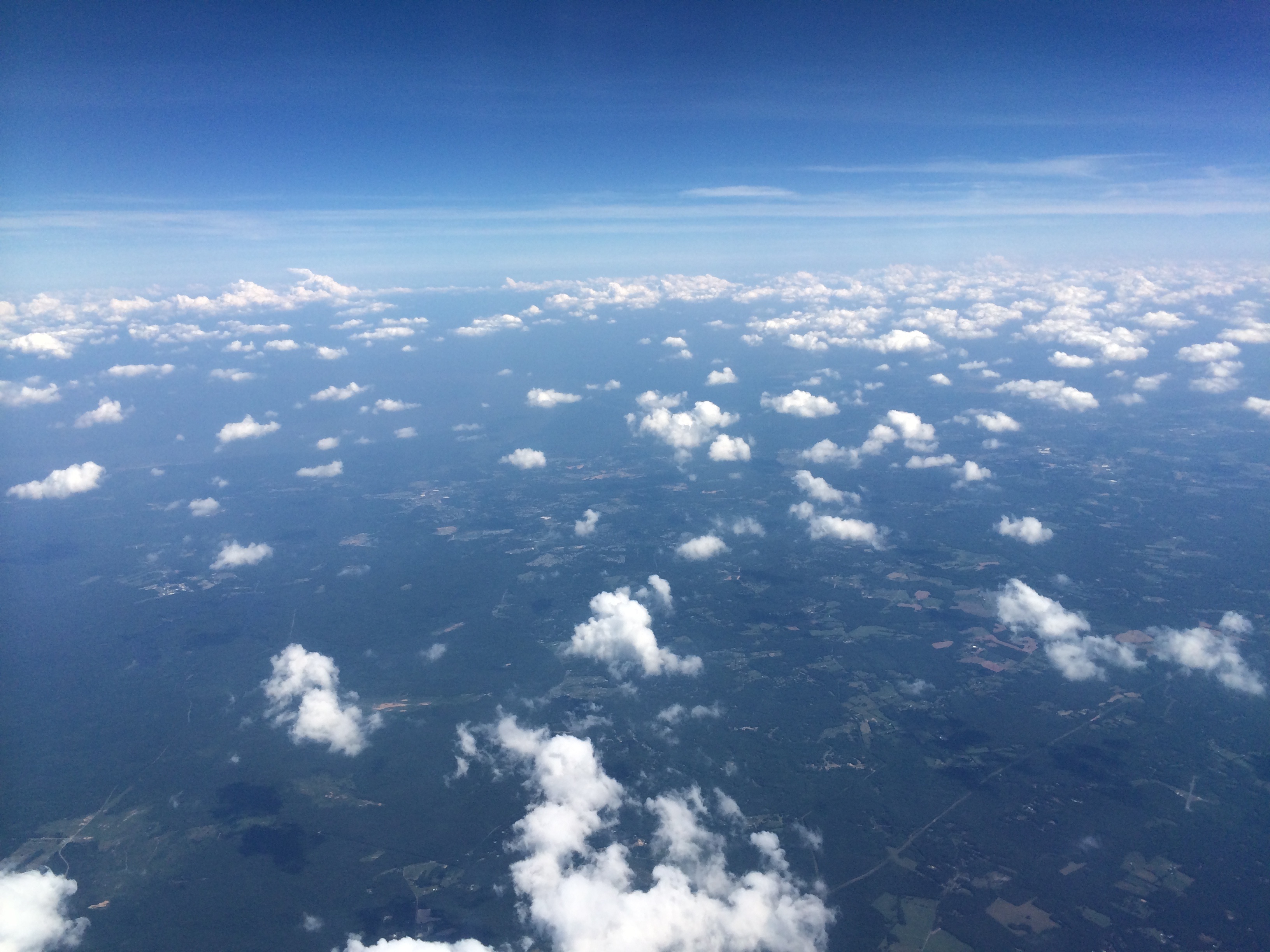
View from Above
View down from the top
2937 View Pilot Mountain Img_14098
View down from the top

View from the top
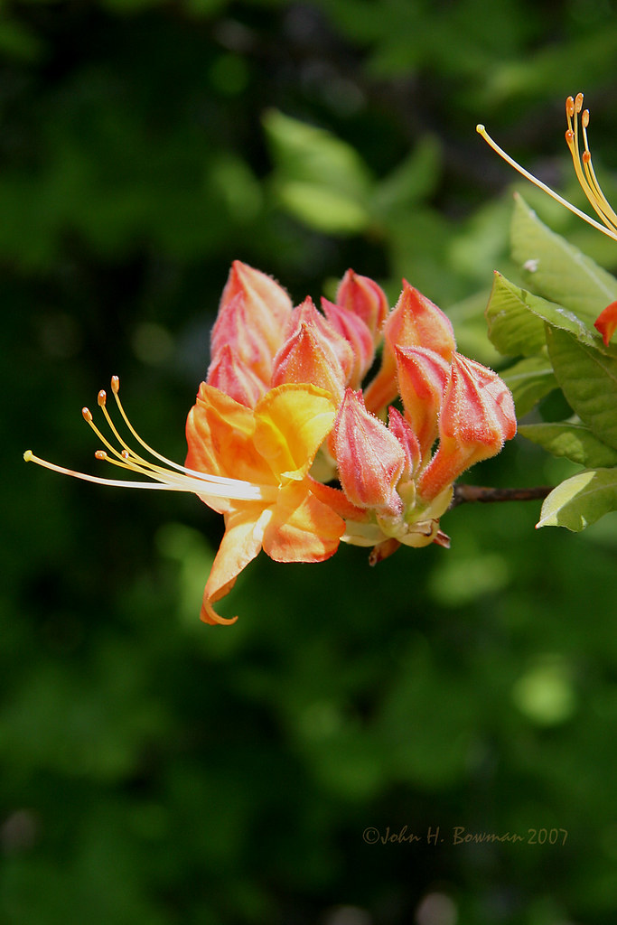
Flame azalea, opening
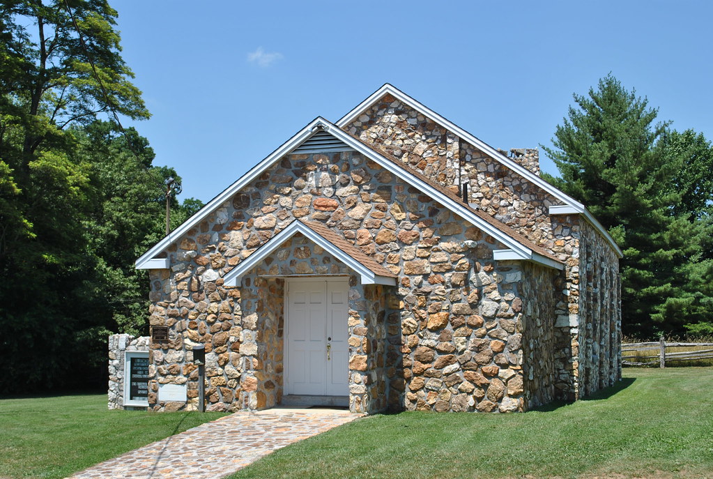
BLUEMONT PRESBYTERIAN CHURCH
View from the top
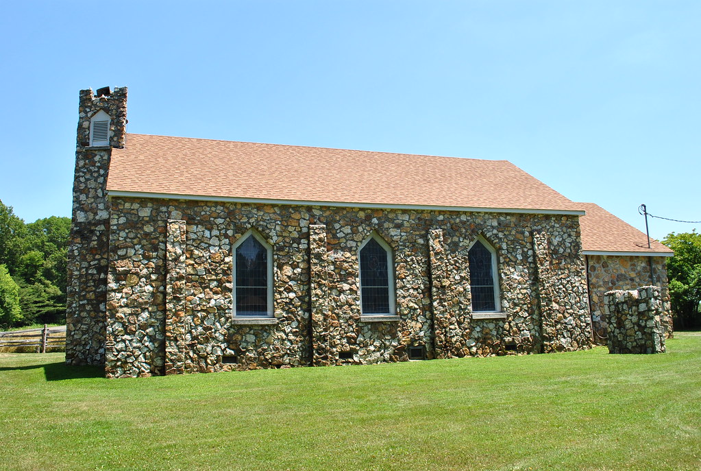
BLUEMONT PRESBYTERIAN CHURCH
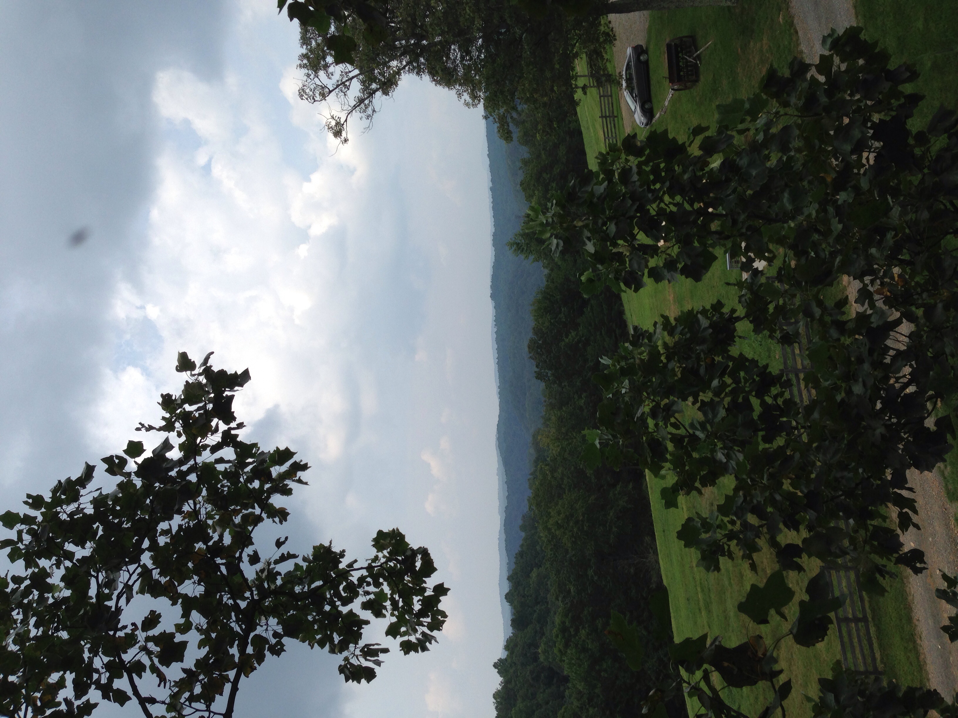
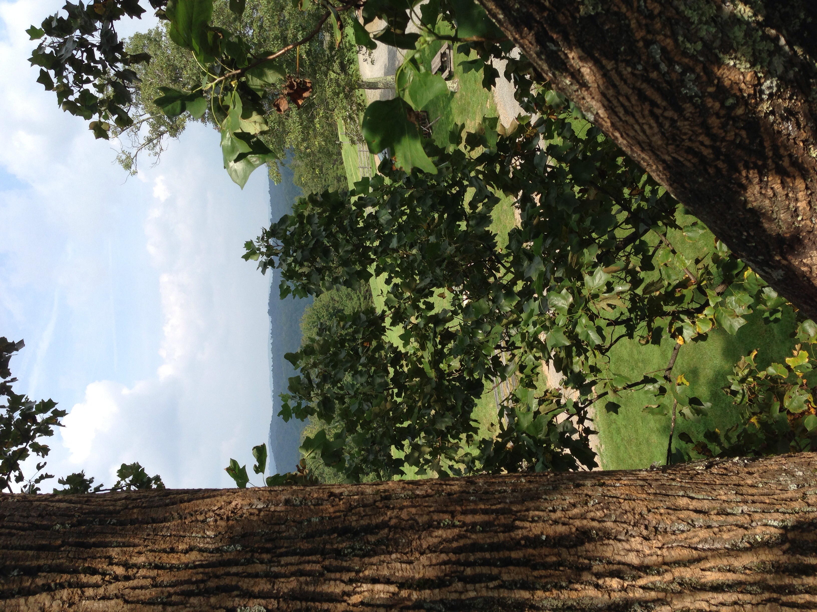
View of the valley

View From Ground Hog Mountain
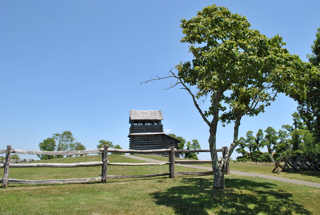
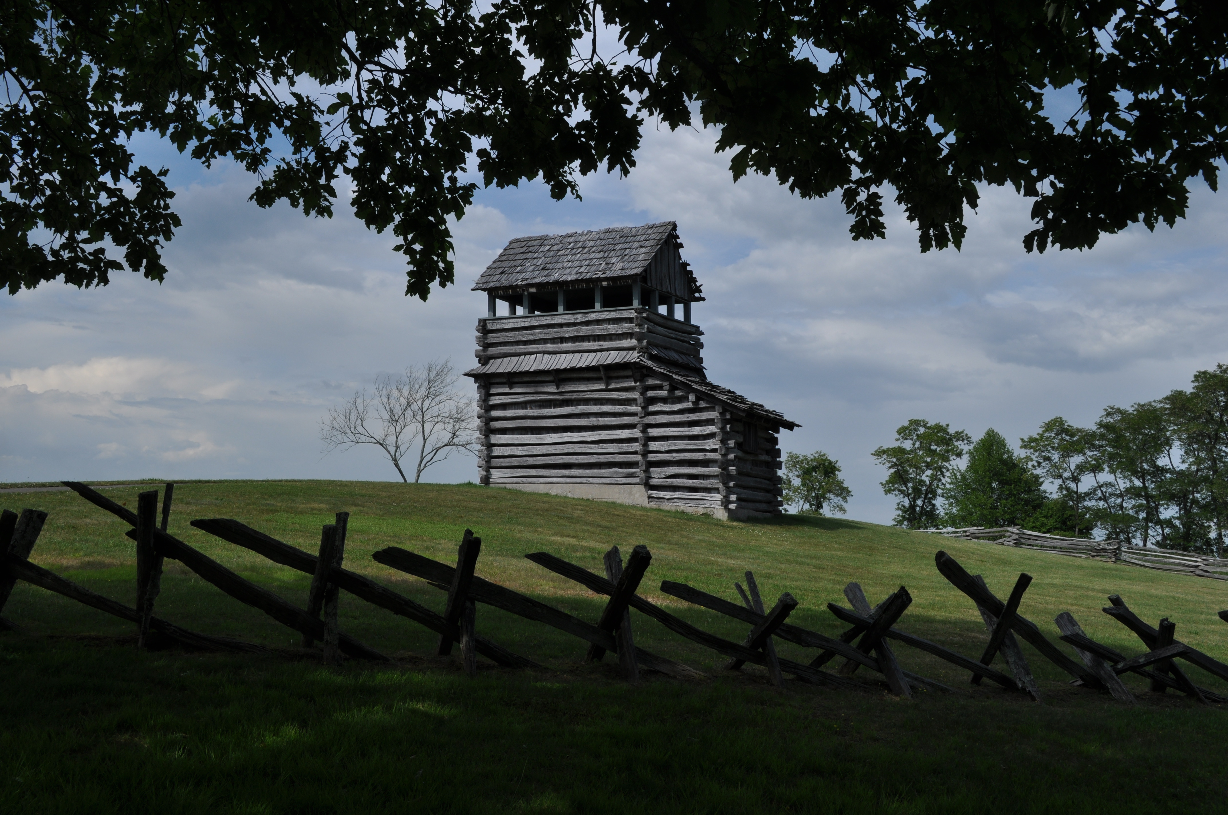
GROUND HOG MOUNTAIN
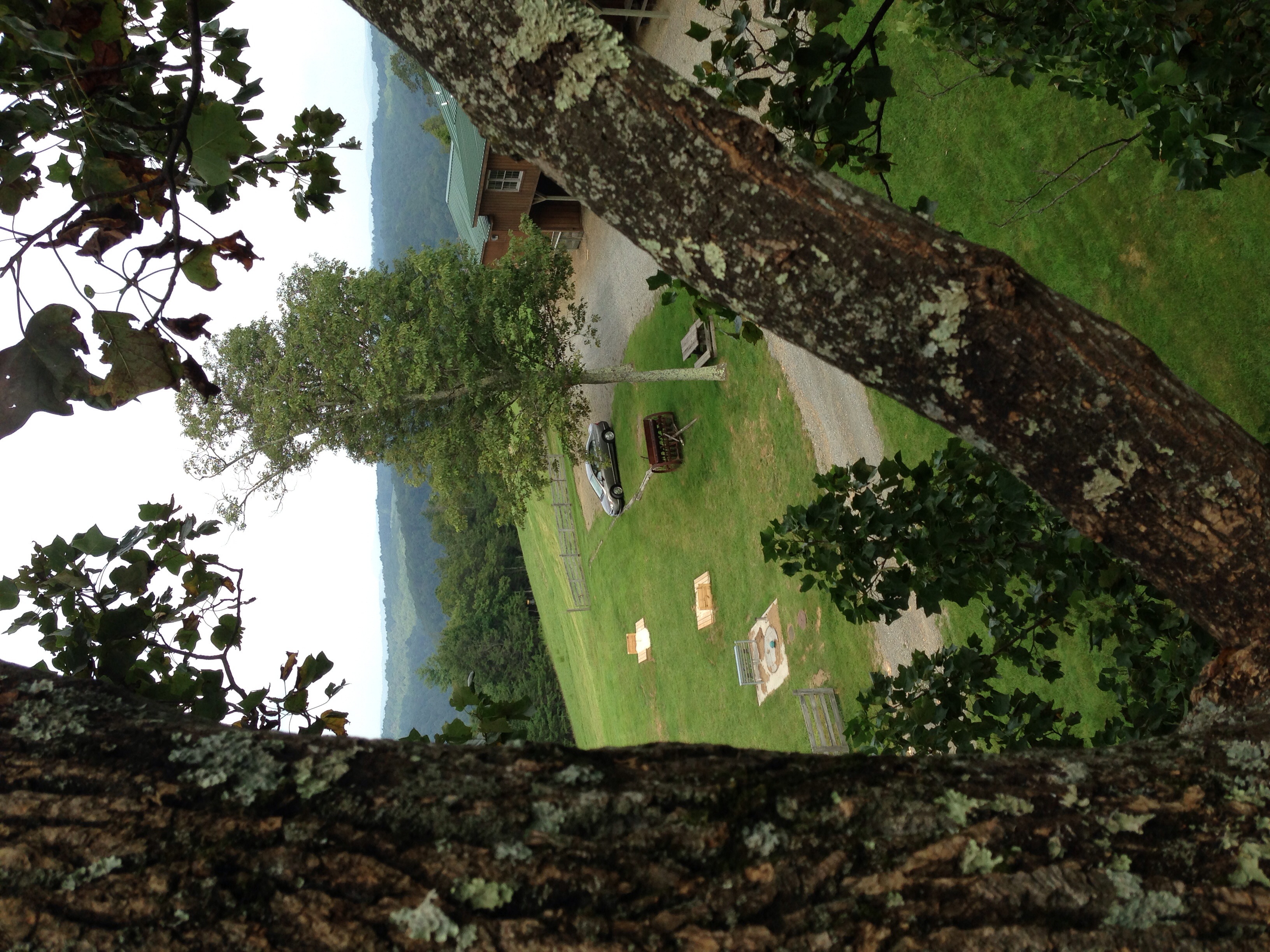
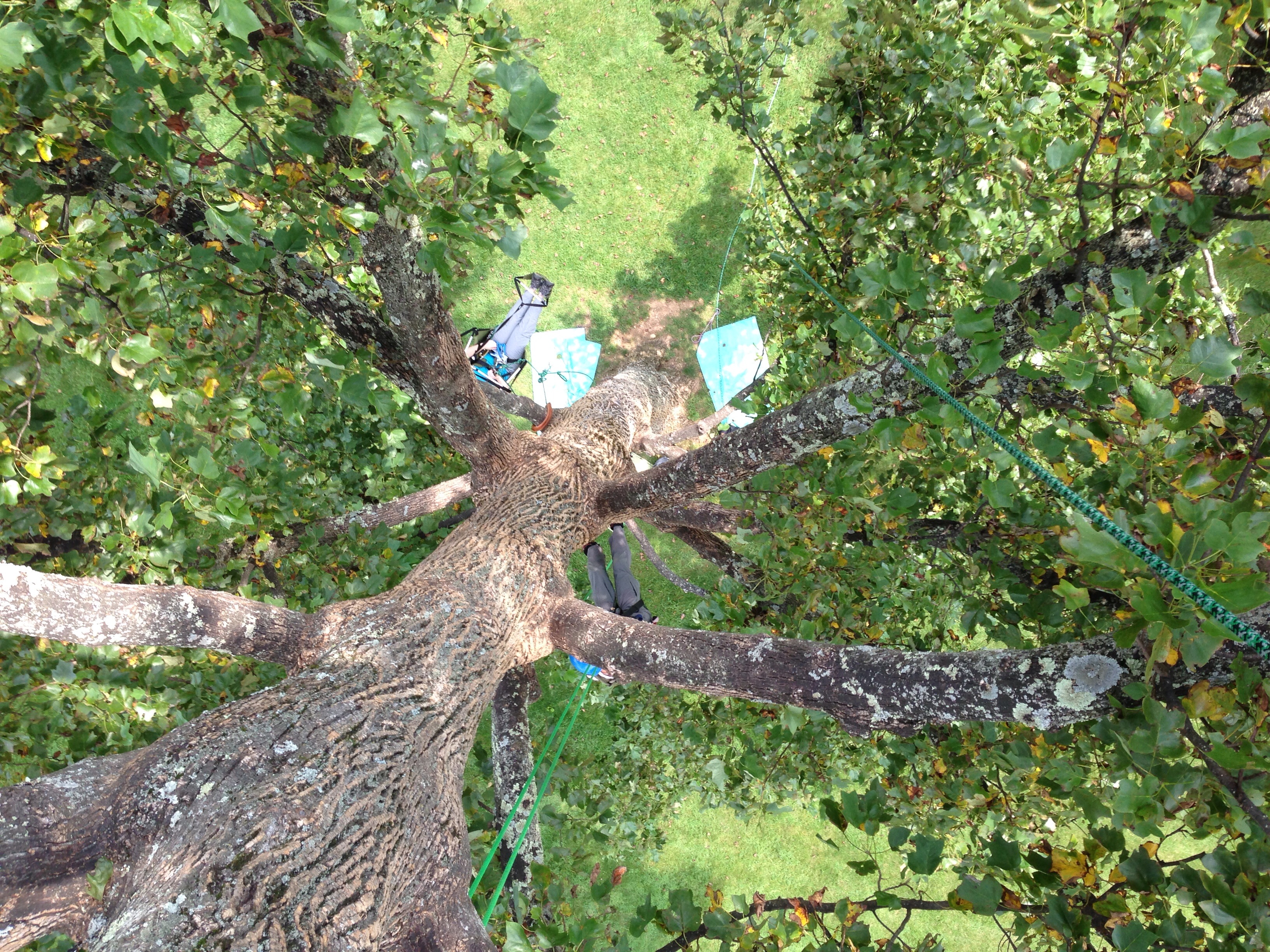
Middle tree view - with the car!

Tree's
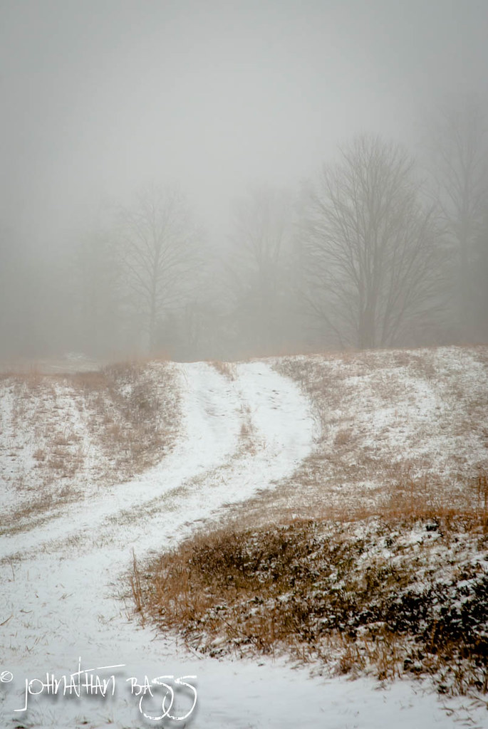
Snowy Path to the Fog

Chairs tucked away.

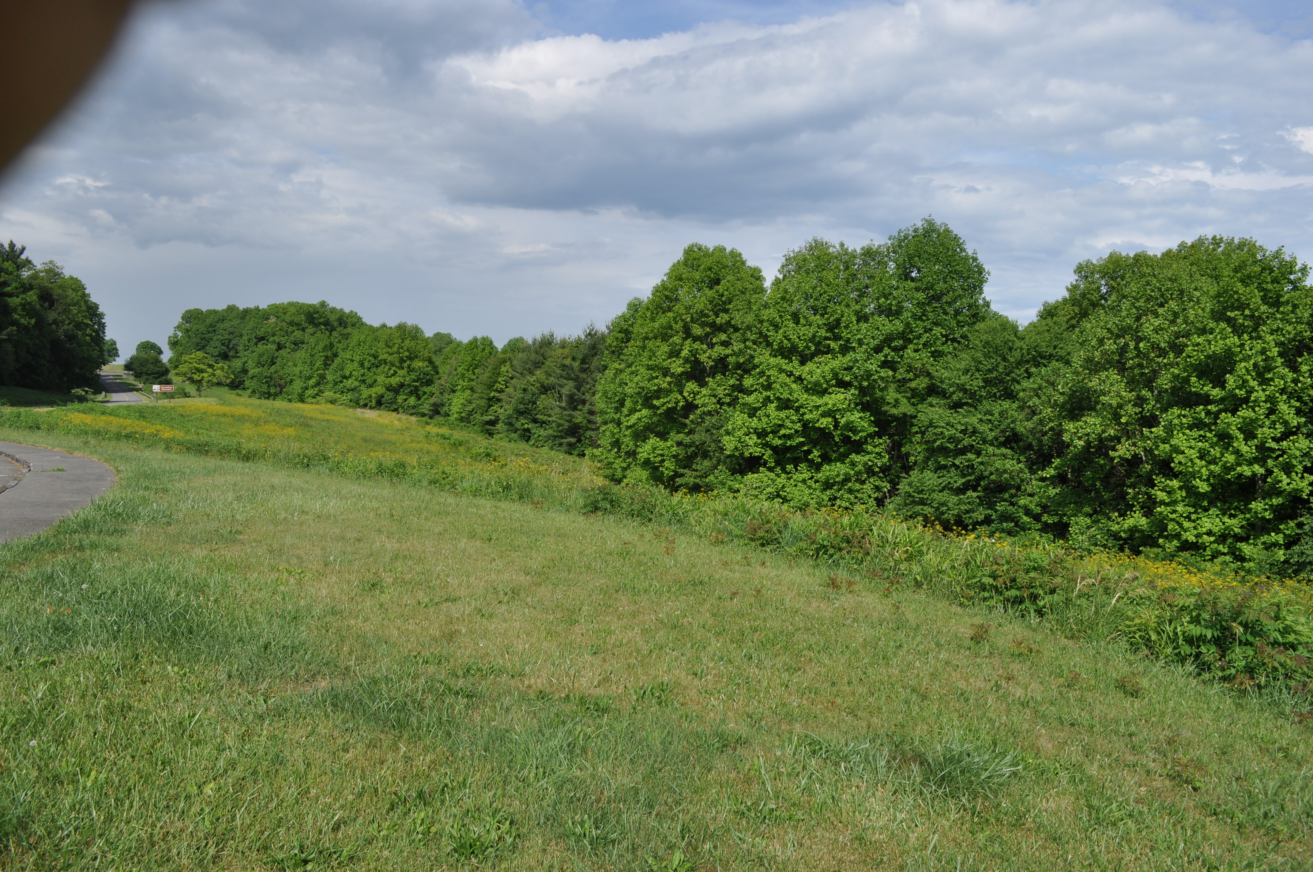
Fields of Green

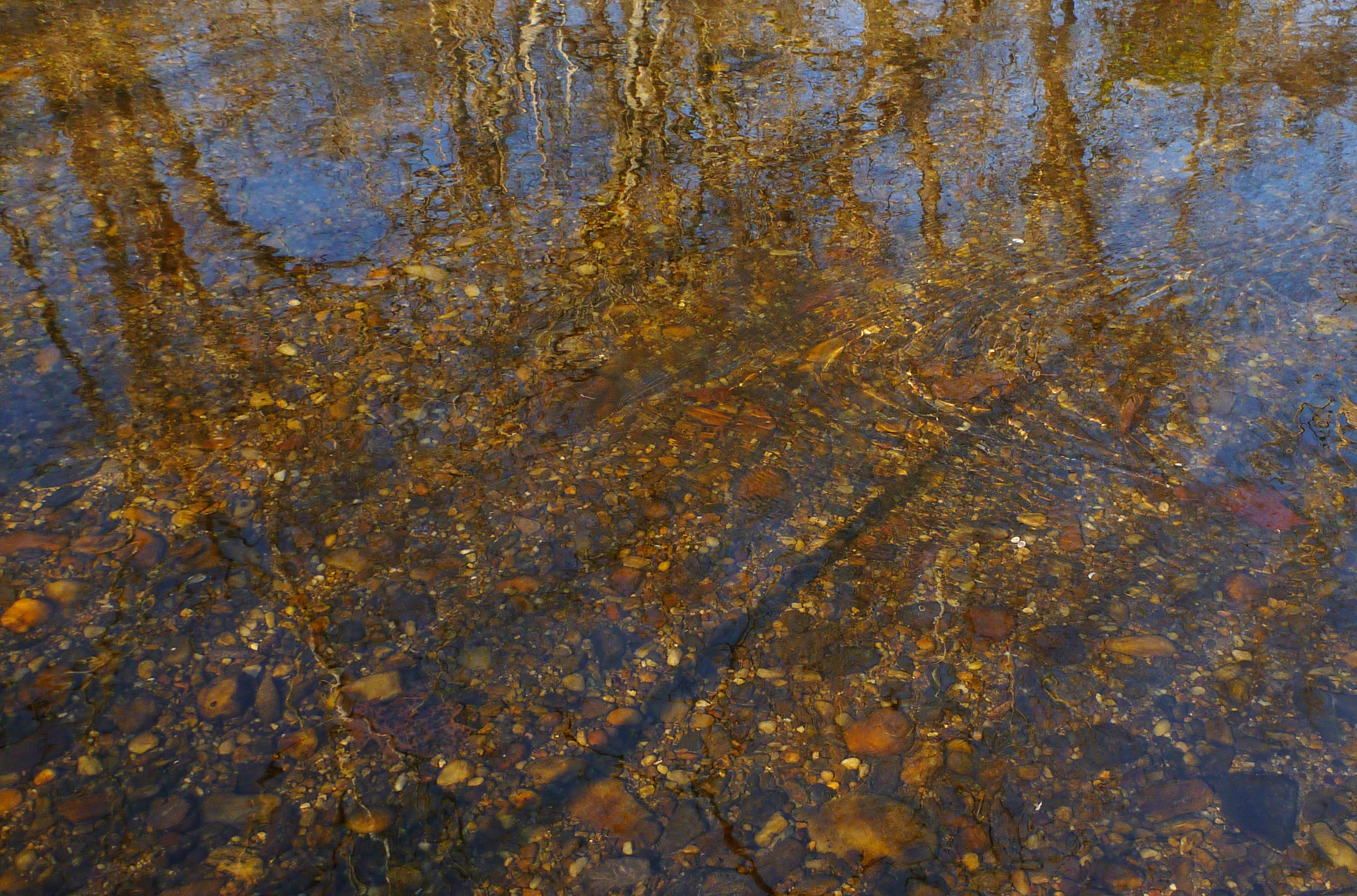
Small Mountain Stream

One Old Chevy

Tree's
Country Evening

A wave is trying to break out at dawn.
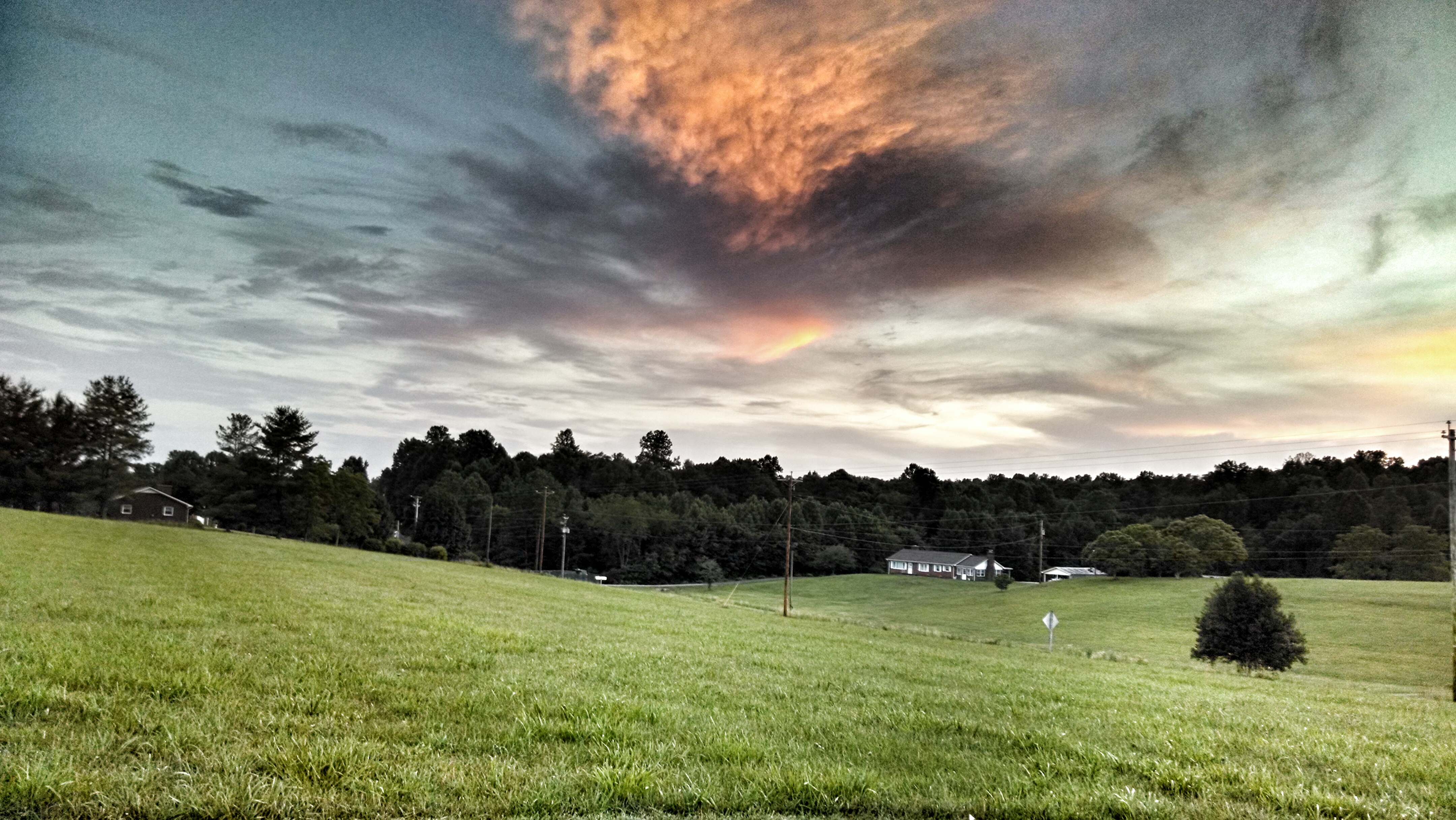
Pretty evening

Barn, Blue Ridge Parkway
Foggy Spring Day

Wave after wave, cloud after cloud, time after time. Up close, they take on weird shapes. Like we all do, really.

Wave clouds all up close and personal.

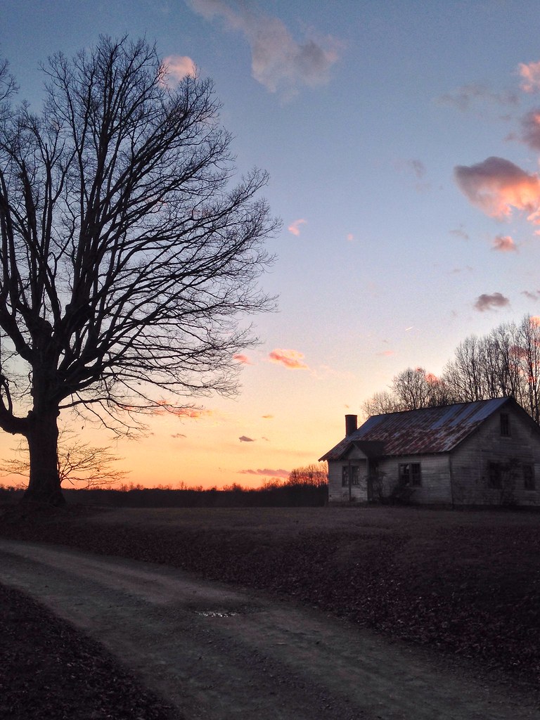
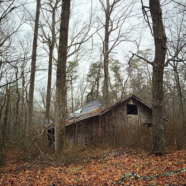
Fading Farmstead
Traveling on some mountain back roads outside of Mount Airy. I believe this was right after we magically found ourselves in Virginia! #northcarolina #virginia #whoknows #groundhogmountain #dilapidated #neglected #abandoned #backroads
Dan River at the Flippin Road bridge
Blue Ridge Parkway (88)
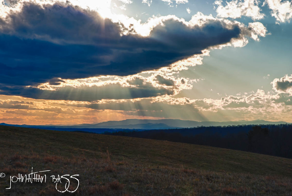
Rays Across the Blue Ridge
Topographic Map of Claudville, VA, USA
Find elevation by address:

Places in Claudville, VA, USA:
Ararat Hwy, Claudville, VA, USA
Claudville, VA, USA
Claudville Highway
Little Dan River Road
Simmons Road
Long Branch Road
State Route 645
Places near Claudville, VA, USA:
Ararat Hwy, Claudville, VA, USA
1291 Red Bank School Rd
1291 Red Bank School Rd
1291 Red Bank School Rd
1291 Red Bank School Rd
1291 Red Bank School Rd
Simmons Road
Claudville Highway
3976 Claudville Hwy
3976 Claudville Hwy
3976 Claudville Hwy
Claudville, VA, USA
State Route 645
Mitchells Mill Road
Little Dan River Road
229 Old Orchard Loop
Kibler Valley Rd, Ararat, VA, USA
Dan River
8035 Ararat Hwy
6127 Busted Rock Rd
Recent Searches:
- Elevation of Zu den Ihlowbergen, Althüttendorf, Germany
- Elevation of Badaber, Peshawar, Khyber Pakhtunkhwa, Pakistan
- Elevation of SE Heron Loop, Lincoln City, OR, USA
- Elevation of Slanický ostrov, 01 Námestovo, Slovakia
- Elevation of Spaceport America, Co Rd A, Truth or Consequences, NM, USA
- Elevation of Warwick, RI, USA
- Elevation of Fern Rd, Whitmore, CA, USA
- Elevation of 62 Abbey St, Marshfield, MA, USA
- Elevation of Fernwood, Bradenton, FL, USA
- Elevation of Felindre, Swansea SA5 7LU, UK